


Balcony Trail of the Susa Valley stage 9: Pian della Rocca - Testa dell'Assietta

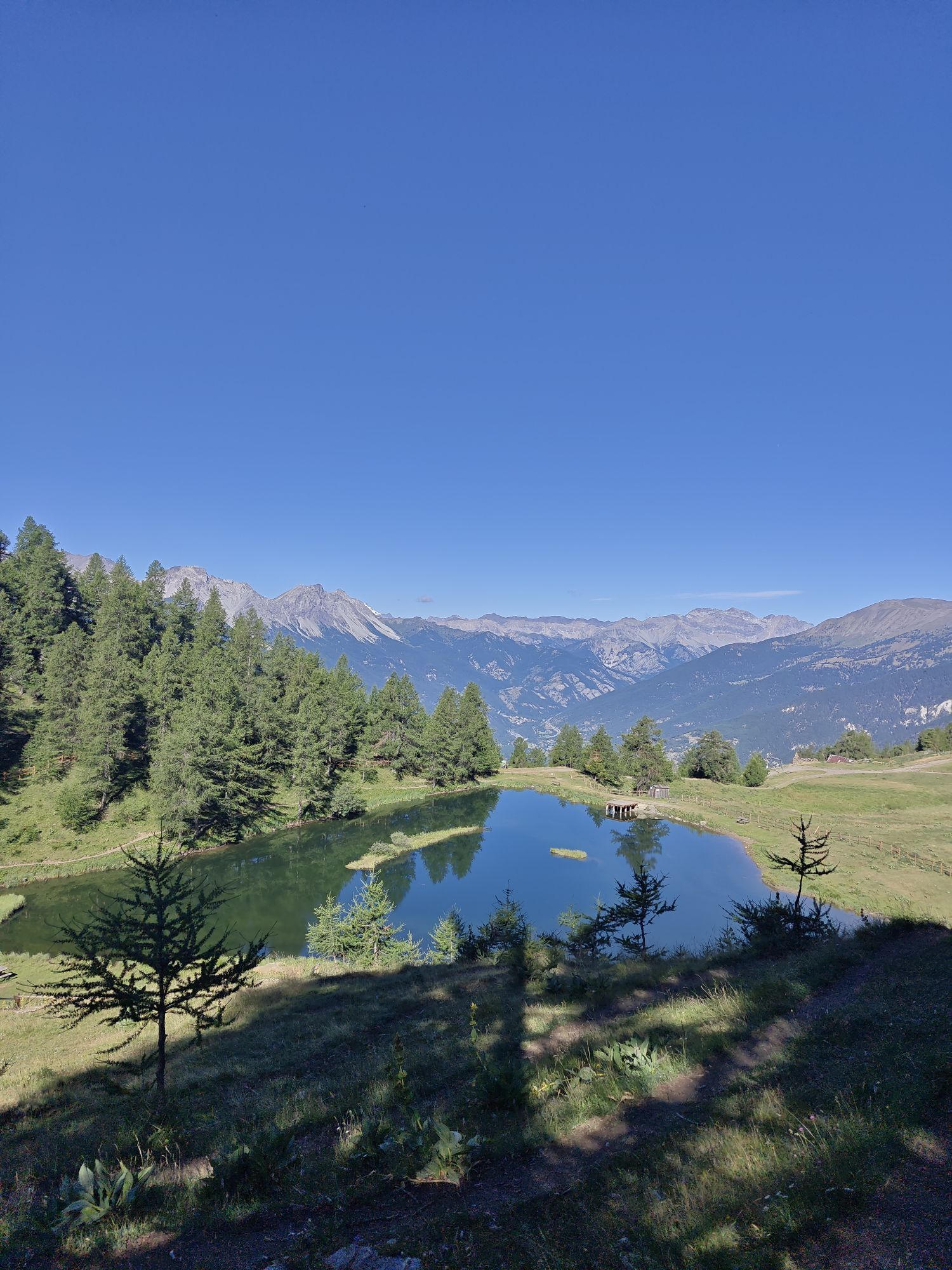
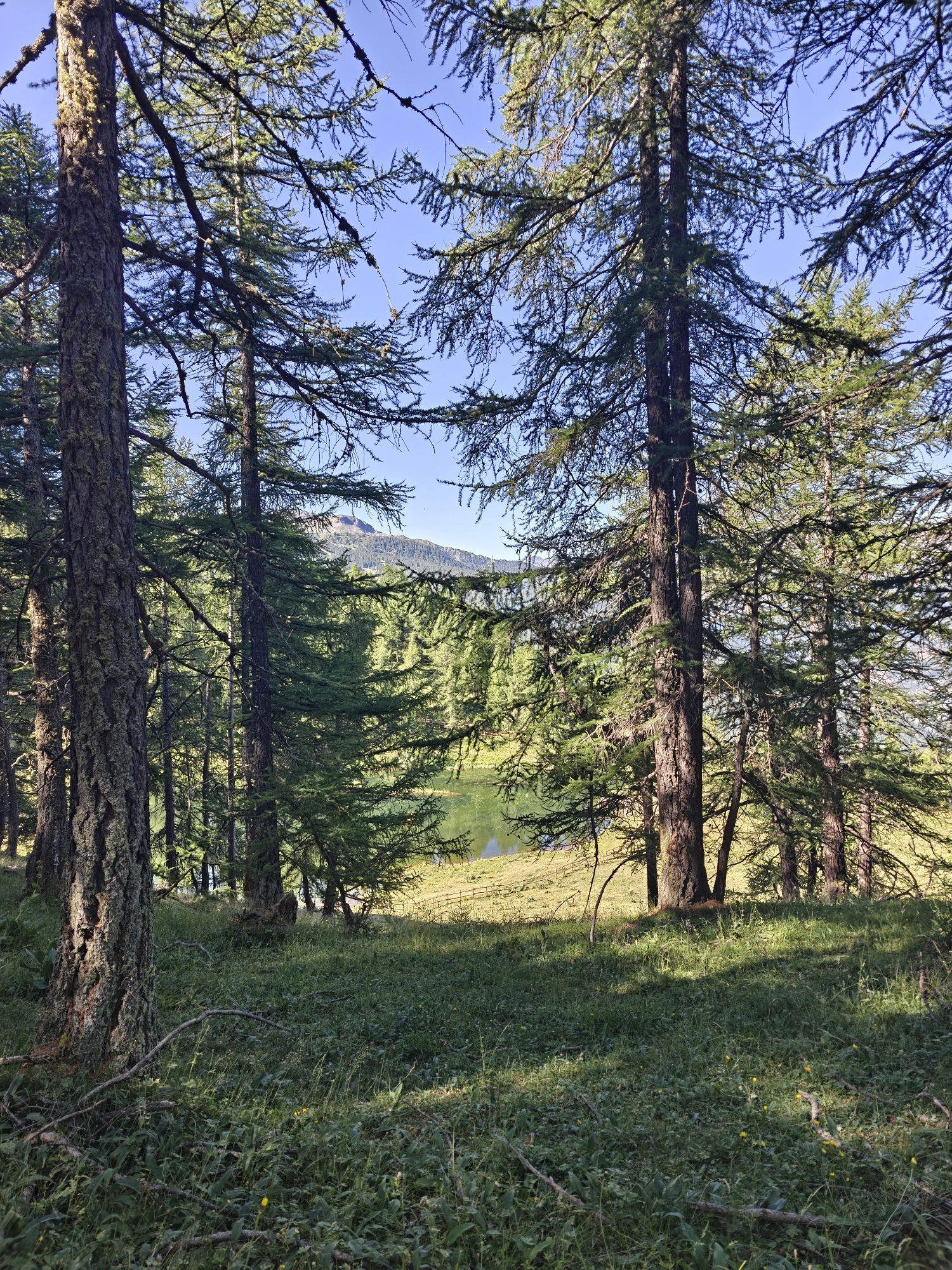
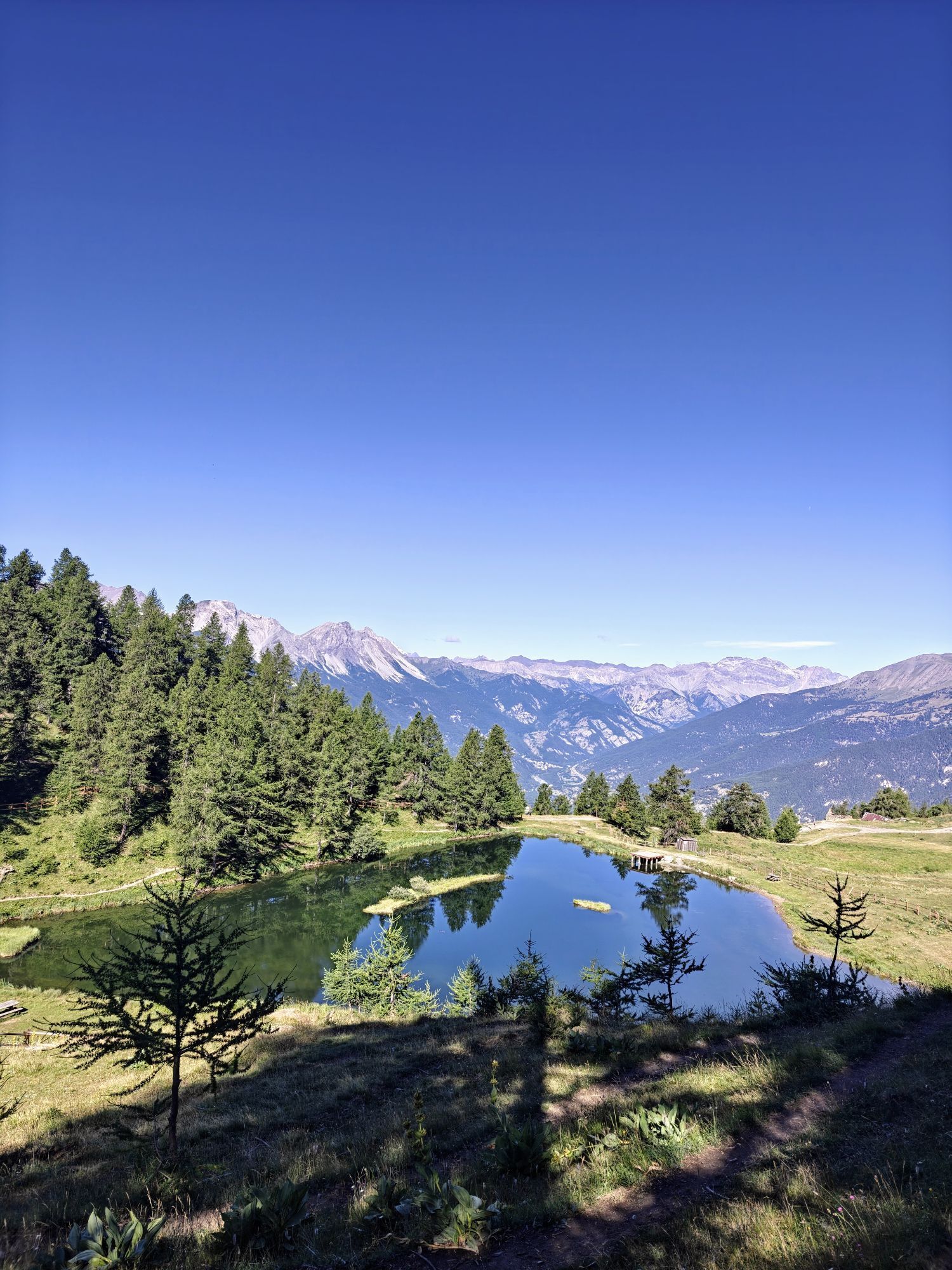

Starting from Pian della Rocca, continue along the unpaved road passing near the Gagere alpine pasture (from here descending it takes 10 minutes to reach the Ciao Pais Hut). Pass by the Vezzani Institute...
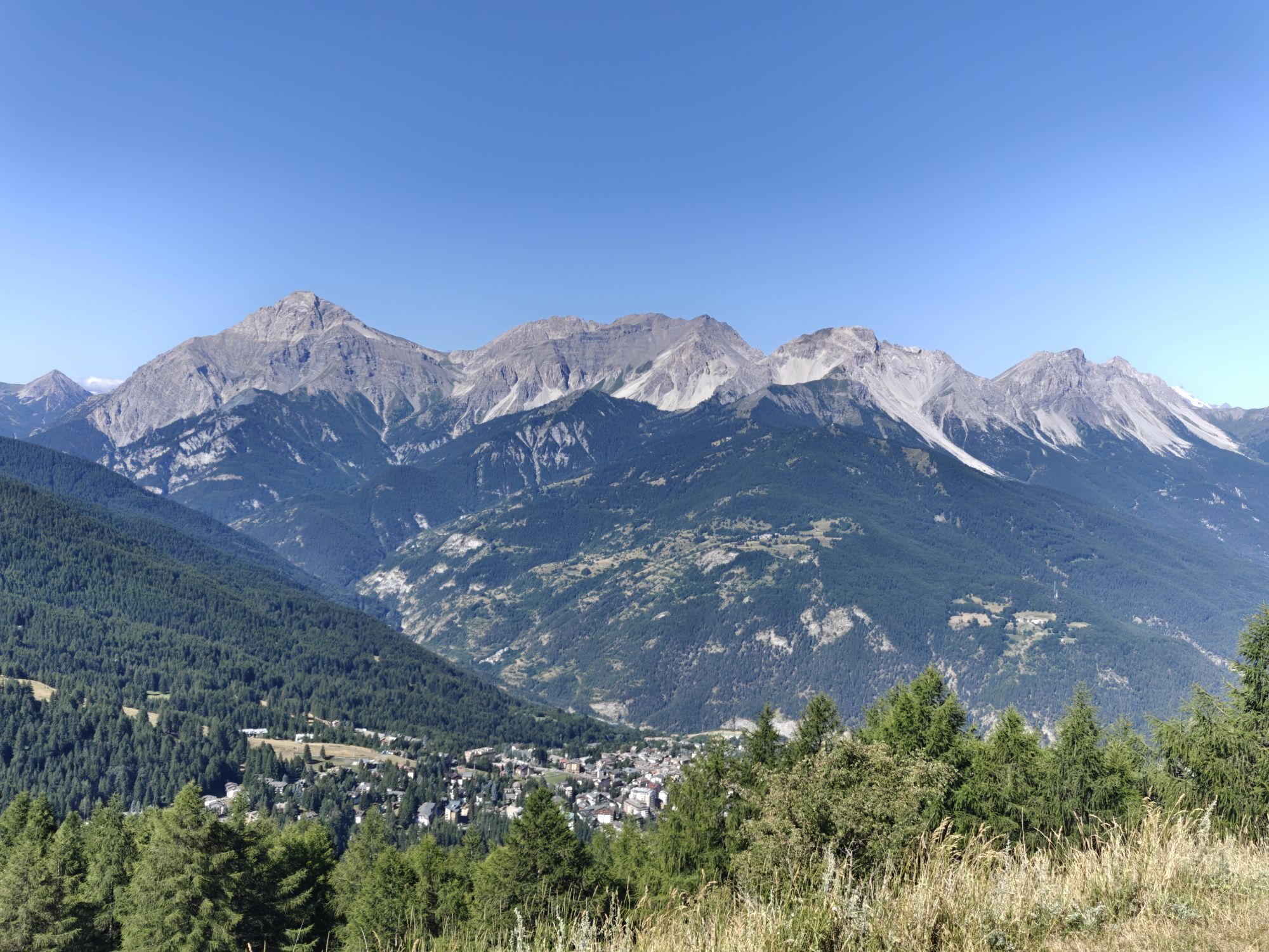
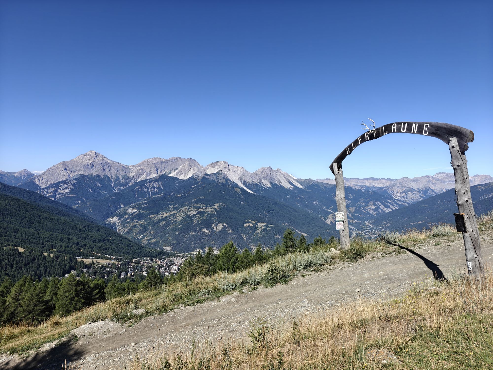
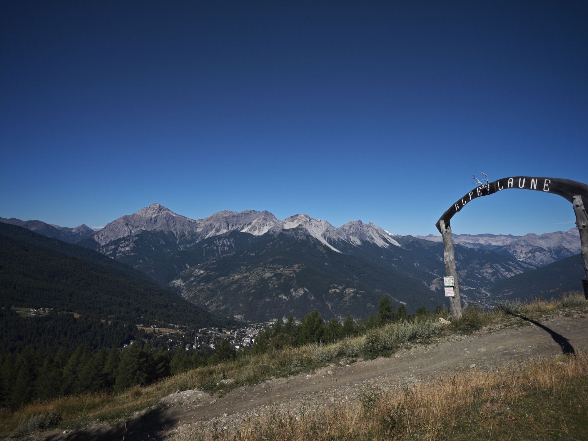
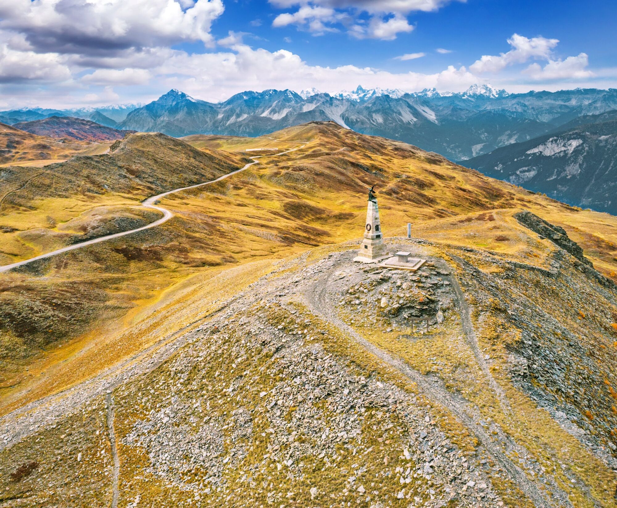
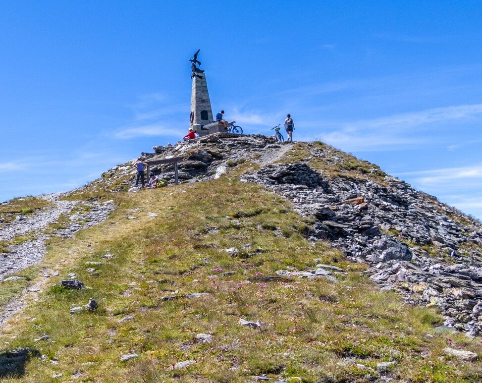
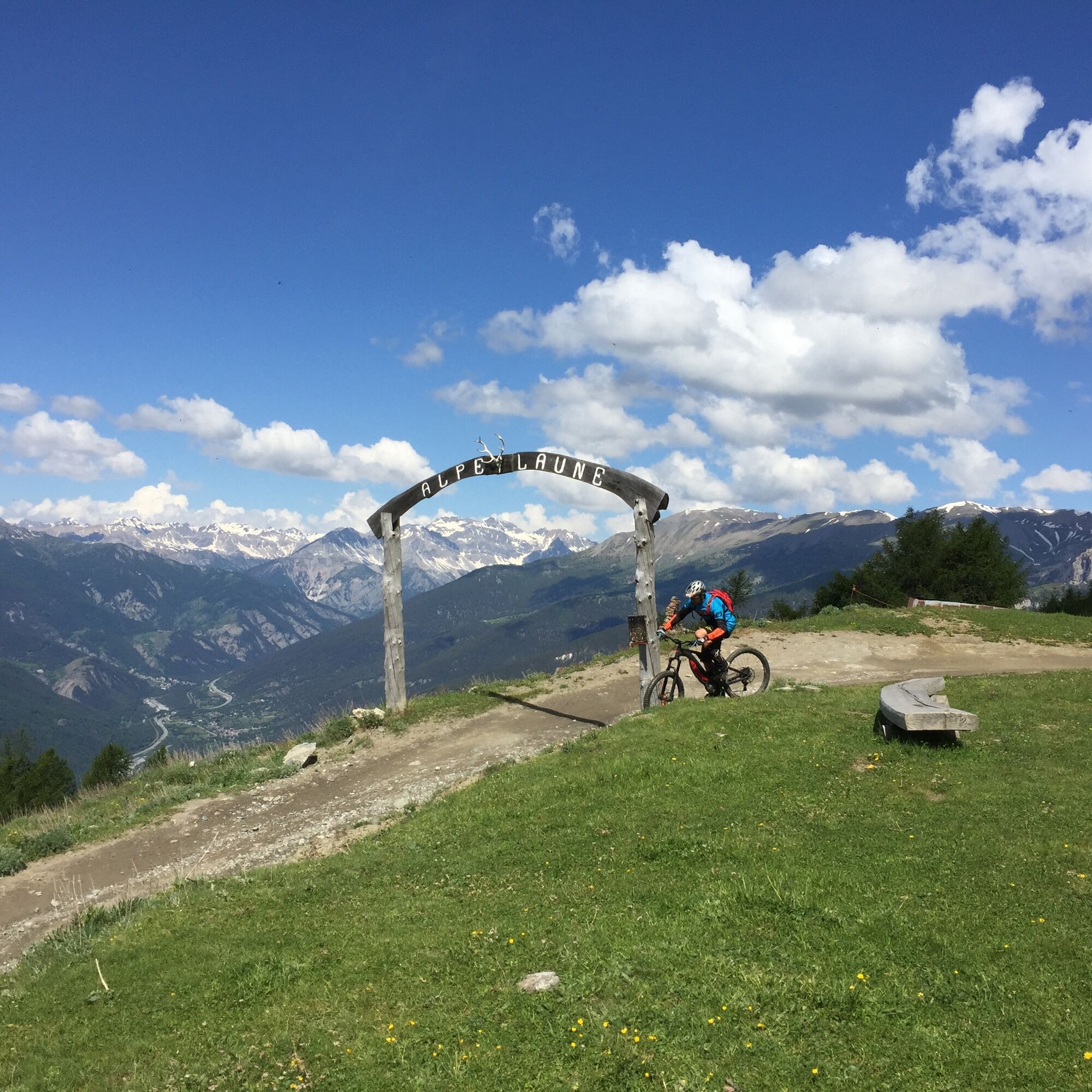
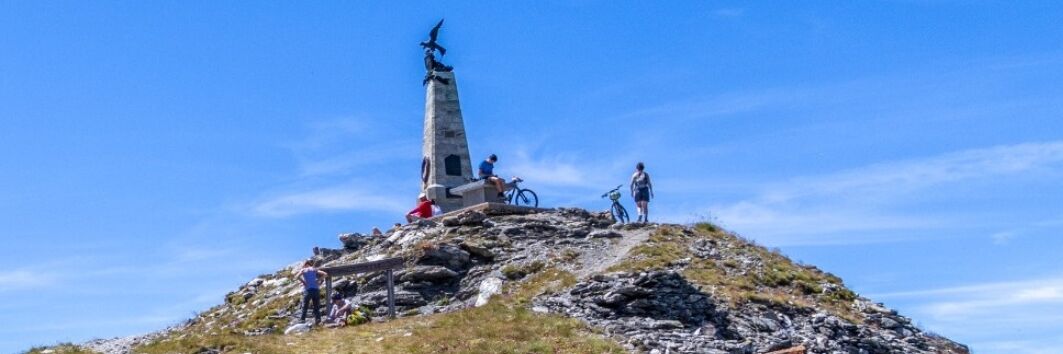
Starting from Pian della Rocca, continue along the unpaved road passing near the Gagere alpine pasture (from here descending it takes 10 minutes to reach the Ciao Pais Hut). Pass by the Vezzani Institute and climb to the Laune alpine pasture. Follow the trail that skirts Lake Laune leading to the Ferro di Cavallo locality, inside the Gran Bosco di Salbertrand Natural Park, where you find the unpaved road to Col Blegier; descend briefly then take the Strada dei Cannoni, passing above the Seu hamlet and the Selle alpine pasture, leading to the crest at Colle Lauson where you follow the military road to the Testa dell'Assietta. At the Assietta toll house, the Assietta Refuge is open in summer months; the Assietta provincial road is open in summer with vehicle traffic restrictions and every year a commemoration of the 1474 battle is held.
Source: Visit Piemonte / Author: Unione Montana Alta Val Susa

Tak
Tak
Wear clothing and footwear suitable for the environment and season.
By car
SS24 or A32 exit Oulx. Drive up to Sauze d'Oulx on paved road then follow signs and take the unpaved road in good condition leading to Pian della Rocca.
The Testa dell'Assietta can also be reached by car from Sauze d'Oulx, Sestriere, or Meana di Susa, along military roads with rough surfaces. Pay attention to traffic regulations on the Assietta Road stretch: check opening and closing days for motor traffic.
Before undertaking any excursion, it is recommended to check weather bulletins or ask for information at local Tourist Offices.
It is advisable not to start an excursion alone, always inform someone of your destination.
Do not litter the environment; carry your waste with you and pick up any left by others if possible.
The indicated travel times are approximate and may vary depending on weather conditions and personal abilities.
More information: www.sentierobalcone.it/tappa-9
Popularne wycieczki w okolicy
- 5,0
BARDONECCHIA Colle Sommeiller
średniMountainbike 25,4 km - 5,0
BARDONECCHIA Forte Jafferau Loop
ciężkiMountainbike 36,8 km BARDONECCHIA Monte Jafferau
ciężkiWędrówka 11,6 km- 5,0
SESTRIERE Monte Rognosa
ciężkiWędrówka 6,42 km BARDONECCHIA - Loop Colle della Scala - Col de Montgenèvre - Colle del Sestriere
ciężkiDroga rowerowa 91,9 km- 5,0
CESANA T.SE Thures - Cima Bosco
ciężkiRakieta do chodzenia po śniegu 3,94 km - 5,0
CESANA T.SE Cesana - Fenils
światłoWędrówka 4,60 km BARDONECCHIA Rochemolles Dam - Scarfiotti Refuge
średniWędrówka 7,77 km- 5,0
BARDONECCHIA Decauville
światłoRakieta do chodzenia po śniegu 4,11 km SAUZE D'OULX Richardette - Montagne Seu )
średniMountainbike 19,9 km
Wędrówki i tropienie


Nie przegap ofert i inspiracji na następne wakacje
Twój adres e-mail została dodana do listy mailingowej.