


Sant'Anna Boschi and its Castelletti
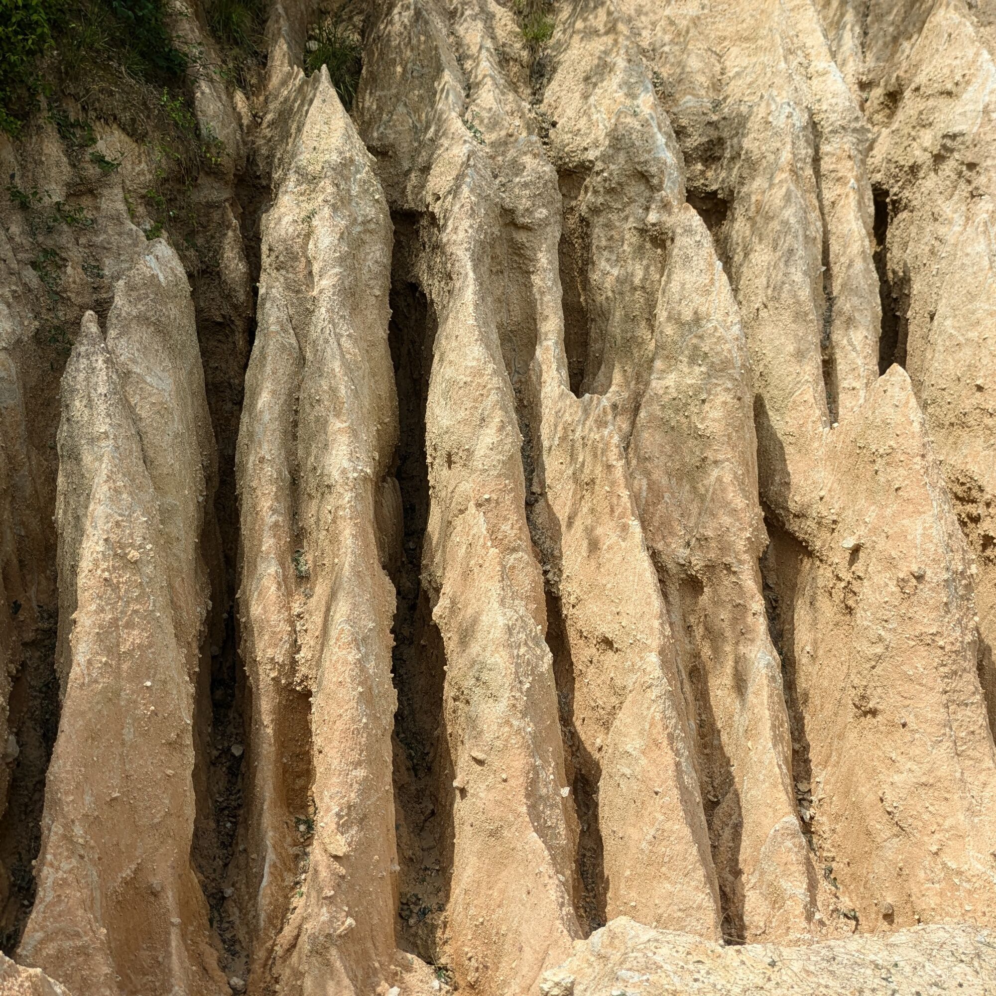
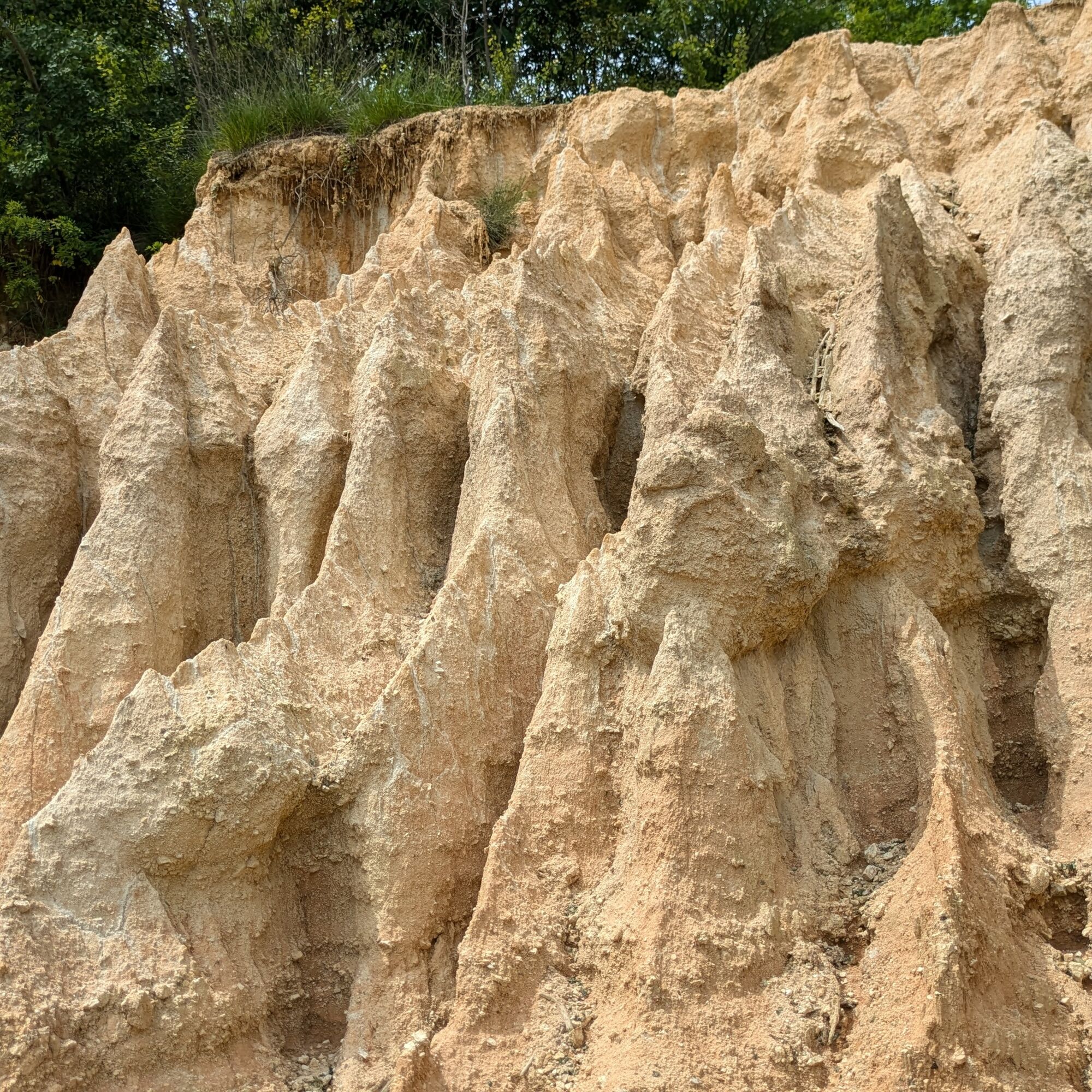
The Castelletti of Sant'Anna Boschi are a form of erosion caused by rainwater that created a series of narrow incisions and small pyramids. The path in the area is slippery, but steps have been added to...
The Castelletti of Sant'Anna Boschi are a form of erosion caused by rainwater that created a series of narrow incisions and small pyramids. The path in the area is slippery, but steps have been added to facilitate access.
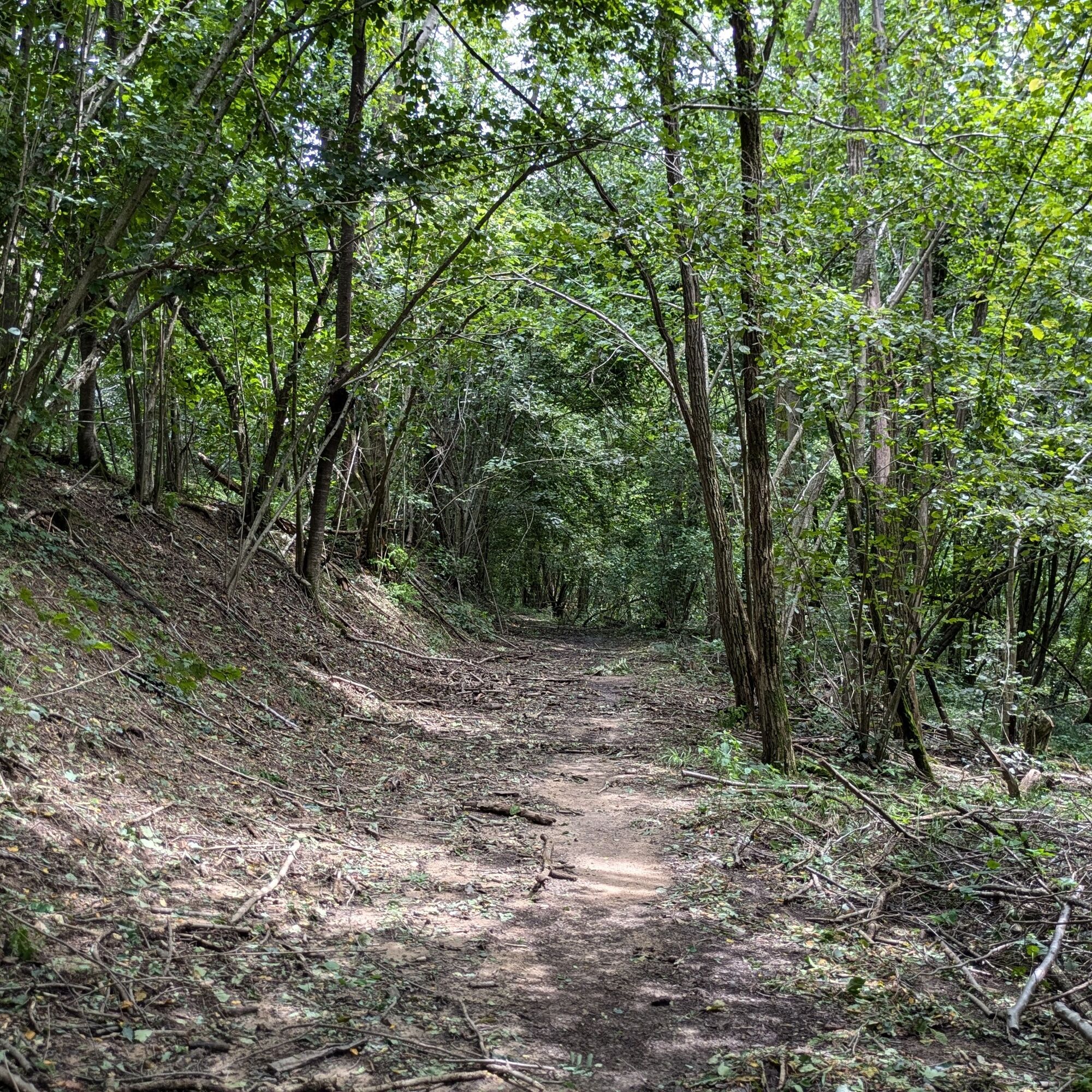
The rest of the route takes place through hilly woods, mainly chestnut, reaching the main square of the Filia hamlet and passing by several votive shrines.
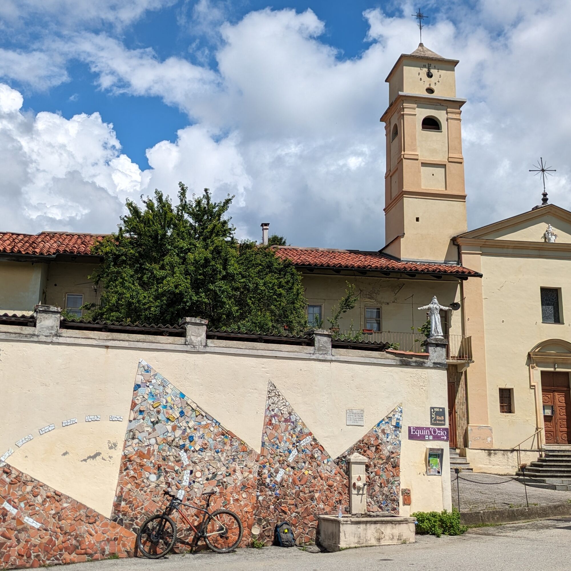
With the parking next to the Church behind you, go down the path on the right. At the first fork turn left (sign "Castelletti") then on the left you find the path leading to the "Castelletti".
Once you reach the "Castelletti," go down a bit more, then turn left at a fork. Continue slightly downhill until you join a dirt road: continue straight until you reach the road to Castelnuovo Nigra. Turn left for a few meters and leave the asphalt for a path on the right that leads to the square of Filia.
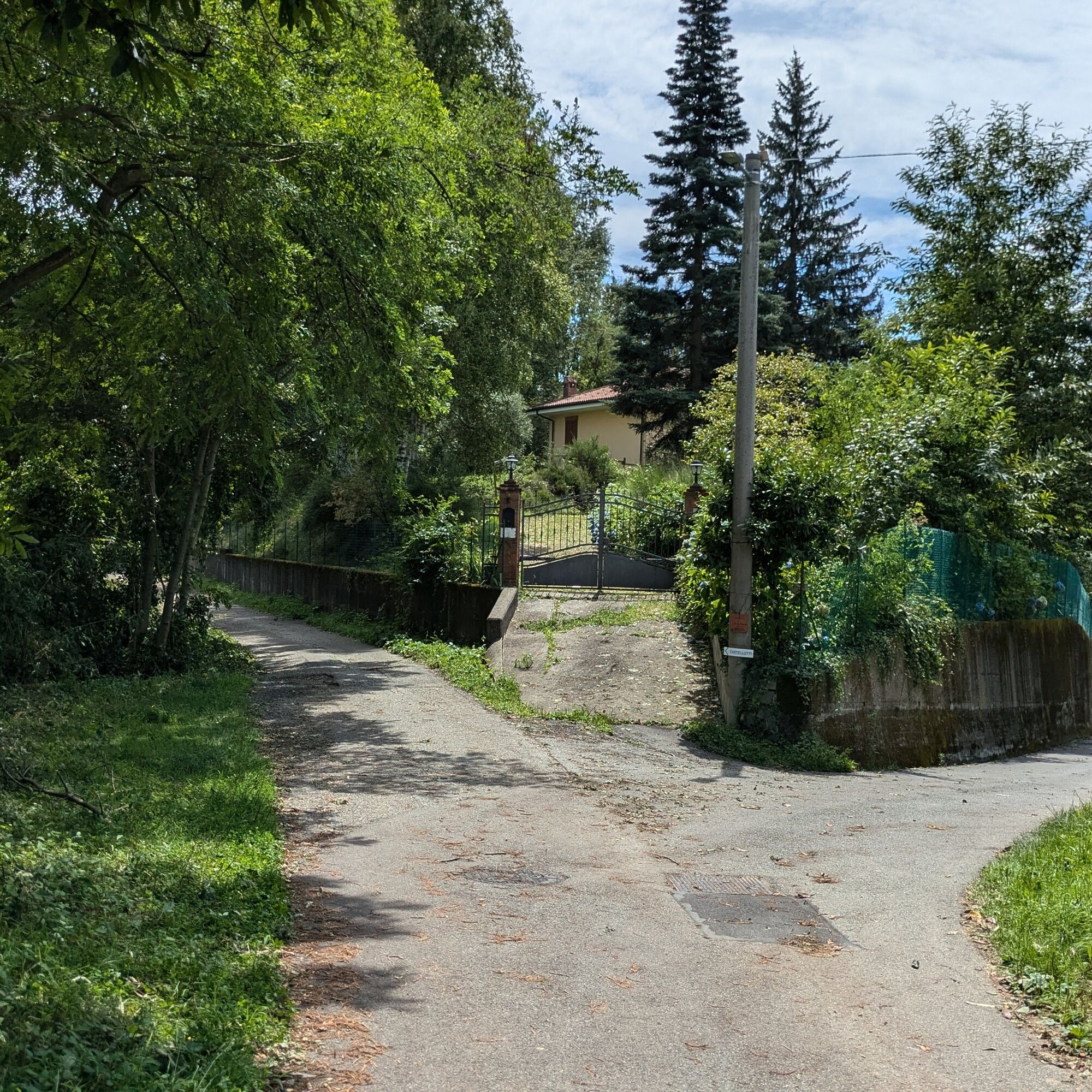
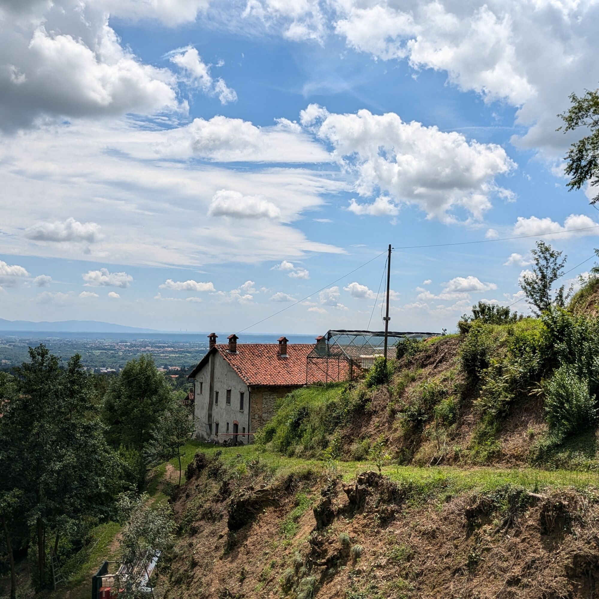
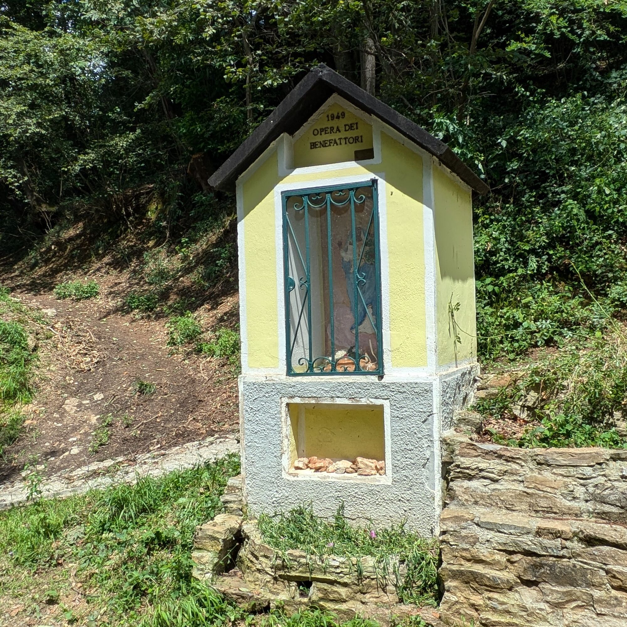
Climb keeping to the left and go around the buildings always staying left and enter a dirt road that seems to start in a house courtyard. The path, first wide, later narrow, continues on a false flat until a votive shrine beyond which you must take the descending dirt road.
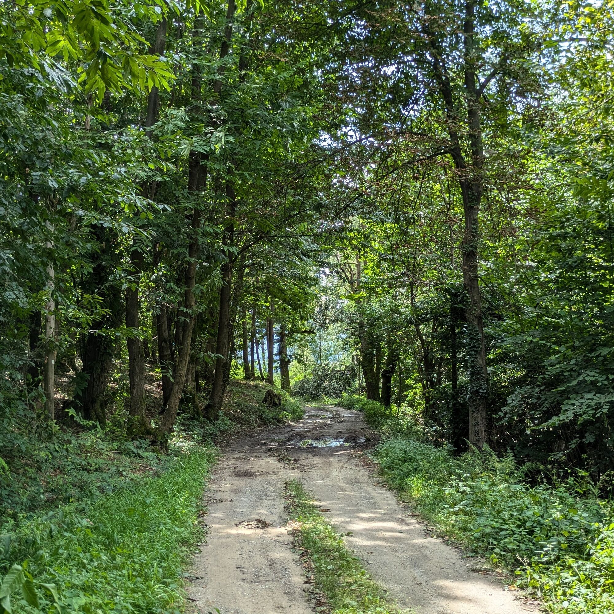
This way you reach again the road to Castelnuovo Nigra, which you take to the left for a few hundred meters. Then you take a dirt road to the right that leads to the cemetery of Sant'Anna and, continuing, to the starting point.
Non-slip sole footwear, wind/rain protection, a warm layer, water supply, first aid kit are recommended
The short path section near the Castelletti is slippery: equip yourself with footwear with a good tread.
A fountain is present at the start and in the square of Filia halfway through the route.
Reach Castellamonte and take SP 59 towards Castelnuovo Nigra. Then turn left following signs for Sant'Anna Boschi.
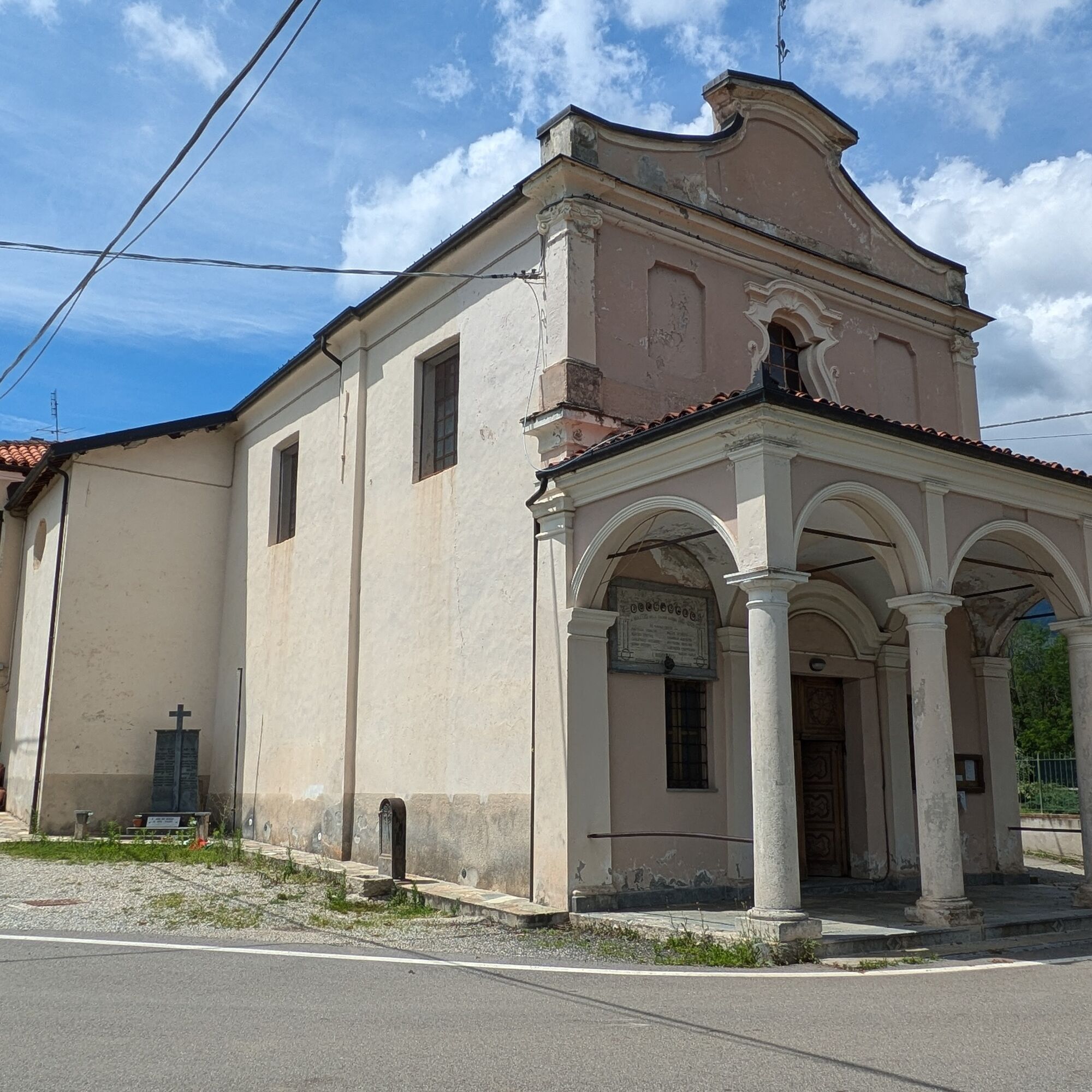
Parking next to the Church of Sant'Anna Boschi
For all tourist information, visit the website Turismo in Canavese.
Before undertaking any hike, it is advised to check the weather forecasts or ask for information at local Tourist Offices.
It is good practice not to start a hike alone and always inform someone of your destination.
Do not litter but carry your waste with you, possibly collecting any left by others.
Estimated times are indicative and may vary according to weather conditions and personal ability.
Popularne wycieczki w okolicy
- 5,0
VALCHIUSELLA Loop Fondo - Tissone - Tallorno
średniWędrówka 5,08 km ALPETTE Monte Soglio and cima Mares from Balmassa
średniWędrówka 10,9 km- 4,0
TRAVERSELLA Souls and Transhumance Path
średniWędrówka 10,0 km BALDISSERO CANAVESE The Monti Pelati nature reserve
średniWędrówka 7,19 km- 5,0
ROCCA CANAVESE Madonna della Neve - Bandito Chapel
średniWędrówka 12,4 km - 4,0
VALPERGA Sacro Monte di Belmonte Loop
średniWędrówka 10,3 km COLLERETTO CASTELNUOVO Pian del Lupo - Quinseina di Santa Elisabetta
ciężkiWędrówka 6,27 kmRUEGLIO Cima Bossola from the Cima Bossola refuge
średniWędrówka 3,79 kmVALCHIUSELLA Lakes of Alice Superiore and Meugliano
światłoWędrówka 7,99 kmSPARONE The ancient mule track of Frachiamo and the Rocca di Sparone
średniWędrówka 6,17 km
Wędrówki i tropienie


Nie przegap ofert i inspiracji na następne wakacje
Twój adres e-mail została dodana do listy mailingowej.