







COLLERETTO CASTELNUOVO Pian del Lupo - Quinseina di Santa Elisabetta
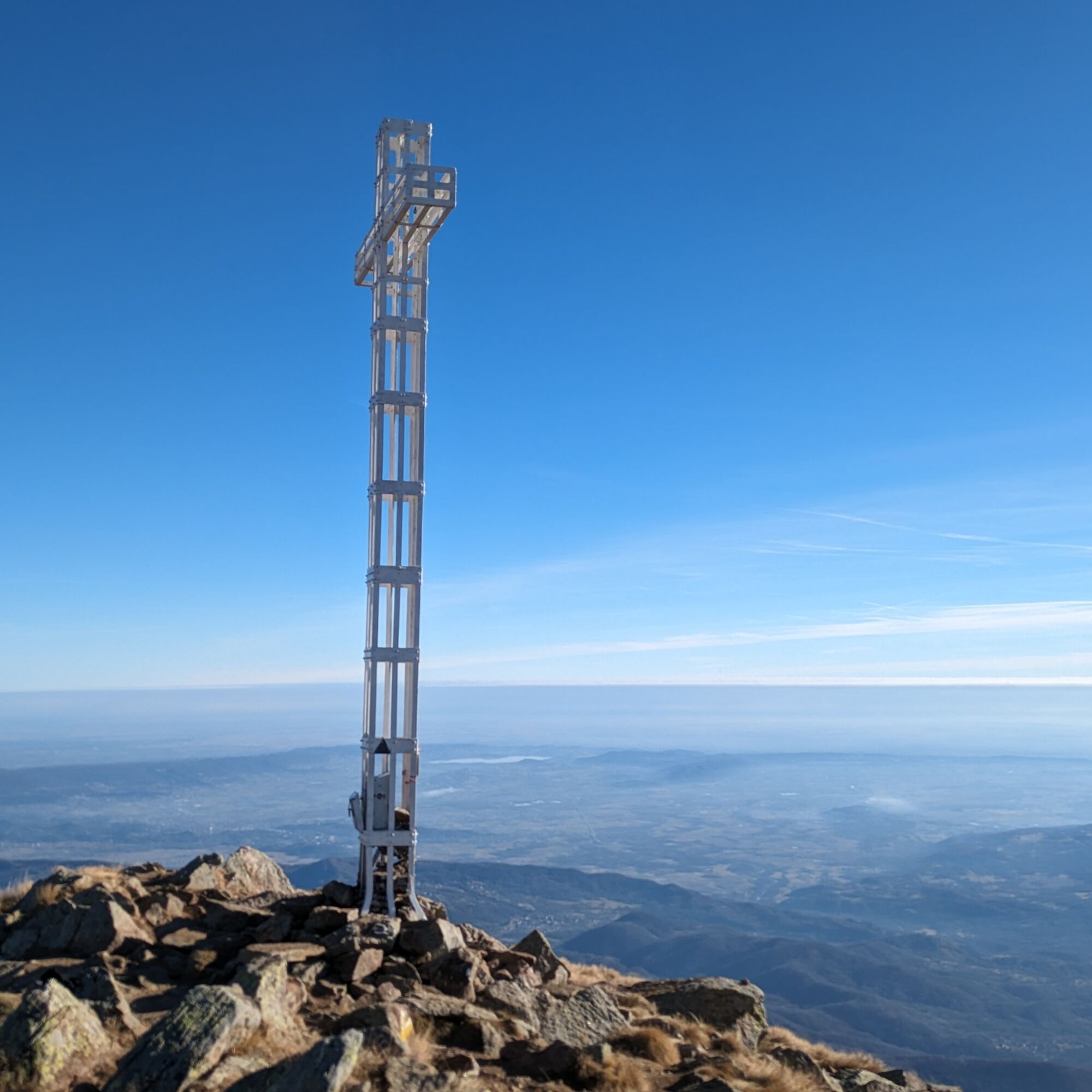
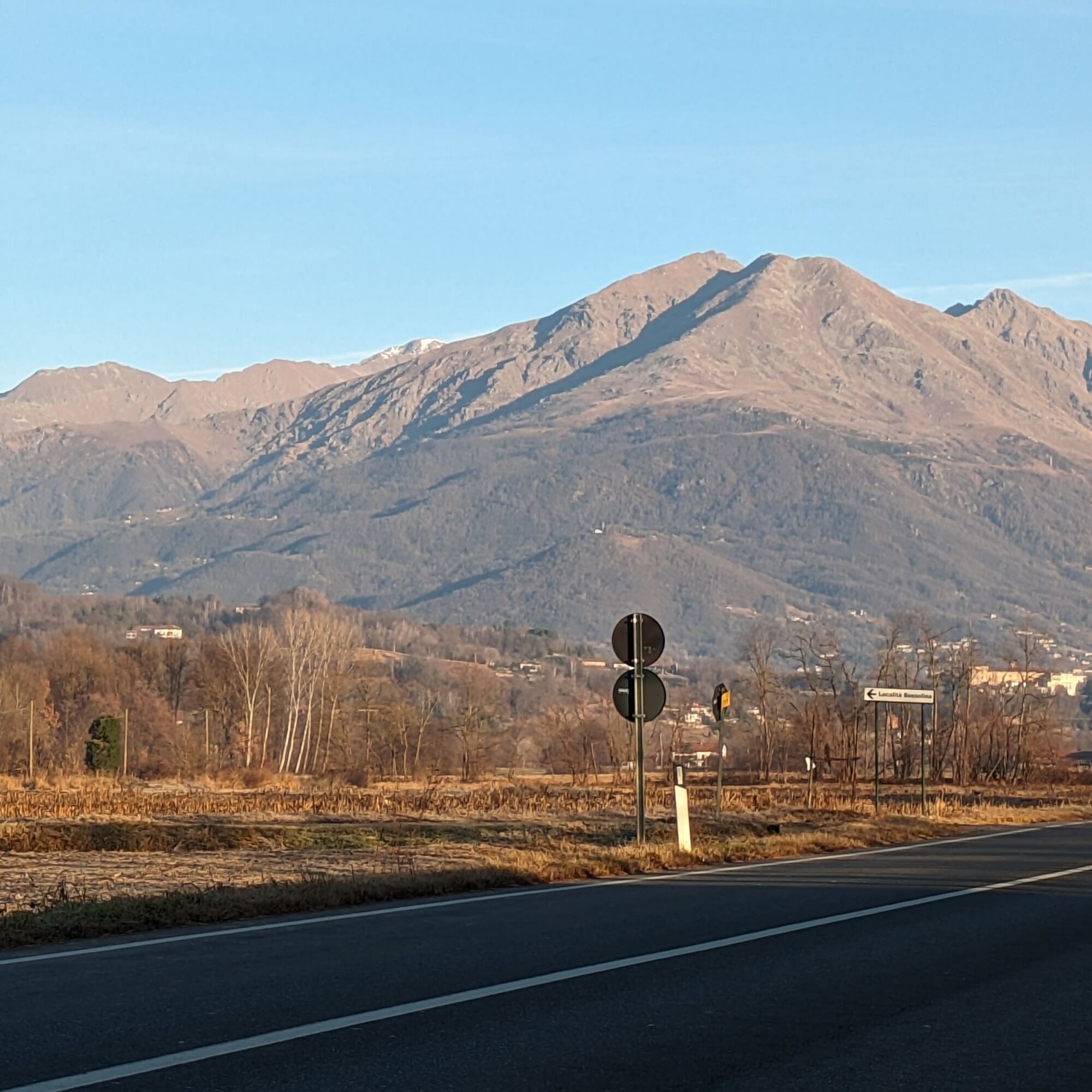
The Santa Elisabetta peak (south peak) is actually the subpeak of the Quinseina (or north peak): both with a large white cross visible already from the plain. The Santa Elisabetta peak rises right above...
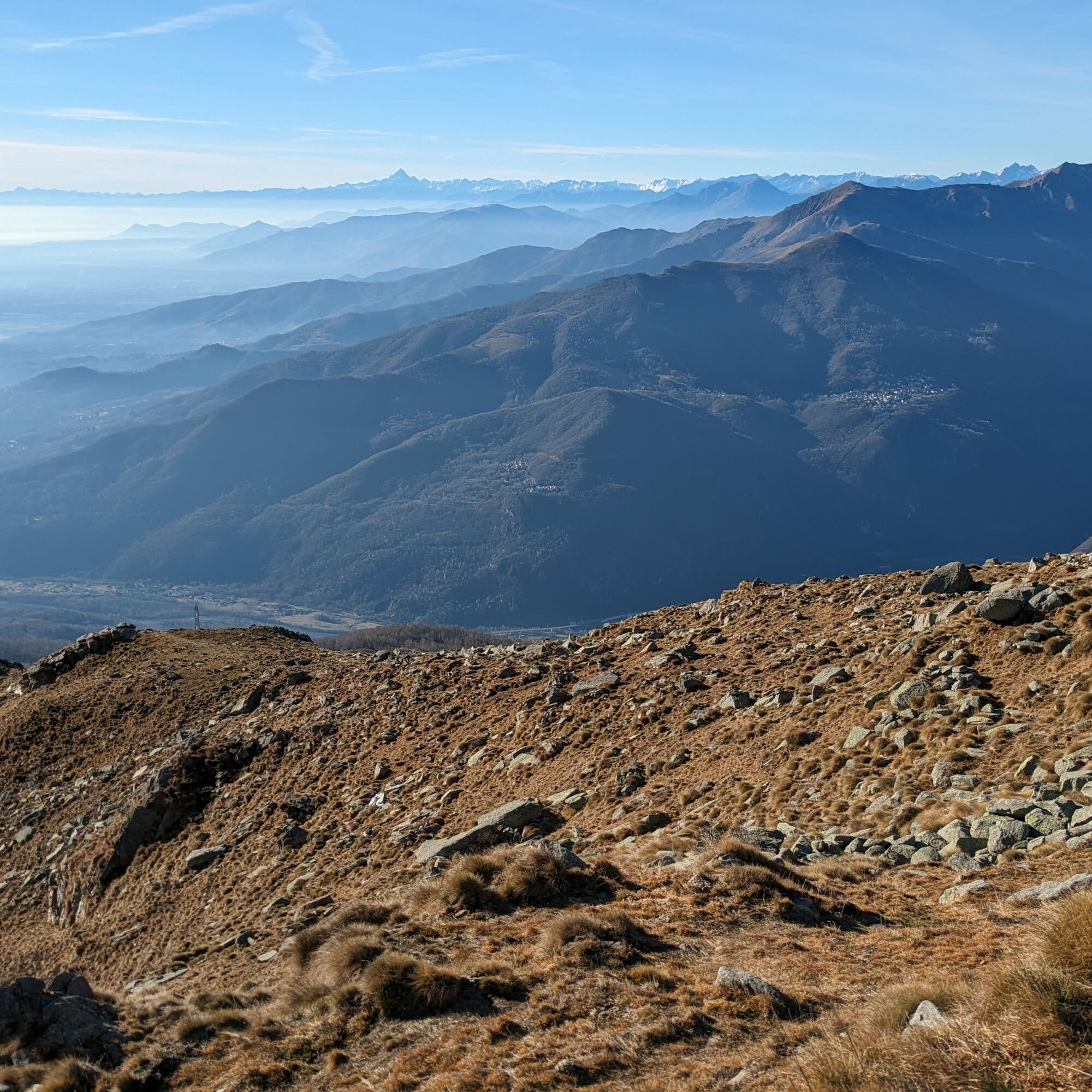
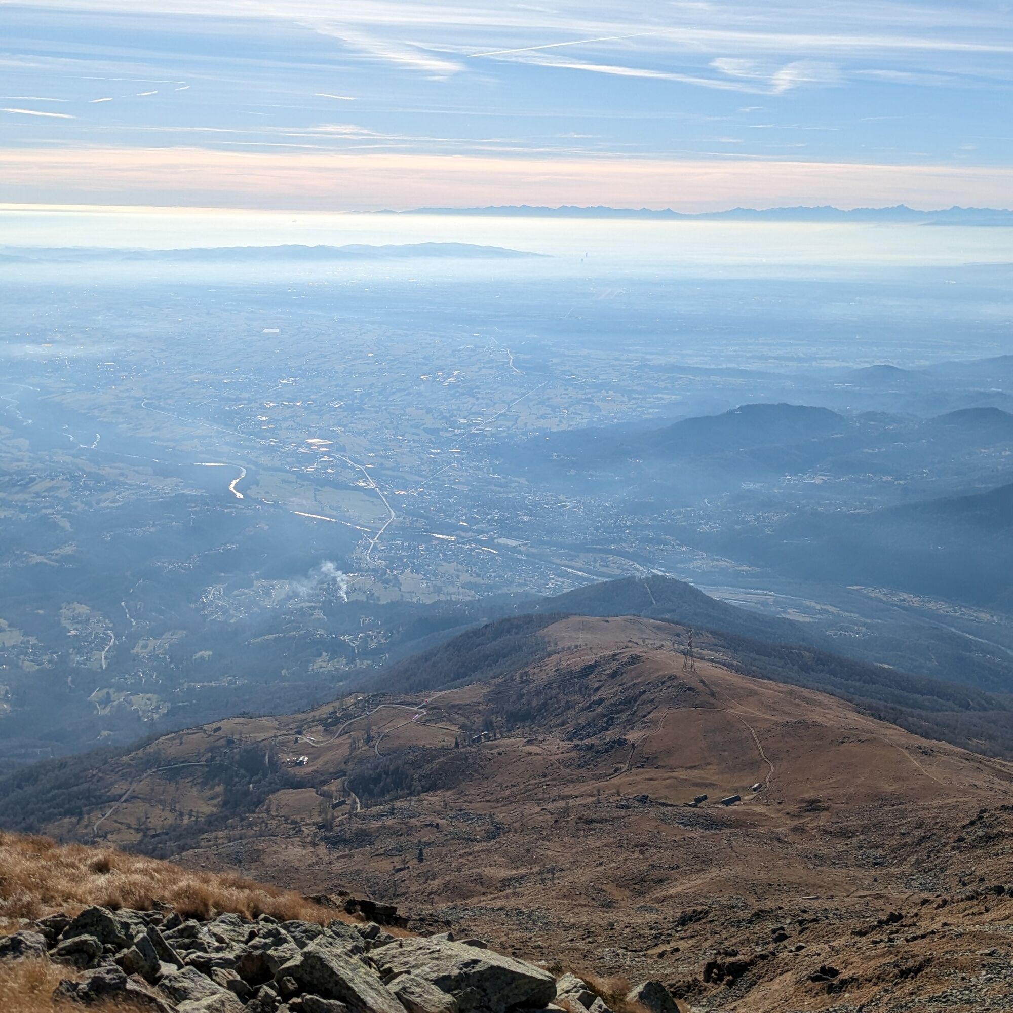
The Santa Elisabetta peak (south peak) is actually the subpeak of the Quinseina (or north peak): both with a large white cross visible already from the plain. The Santa Elisabetta peak rises right above the Canavese plain allowing, on clear days, to admire all the Canavese plain, the Turin plain and to reach with the eye most of the peaks of the western Alpine arc, from the Maritime Alps to the Lombard ones in the distance.
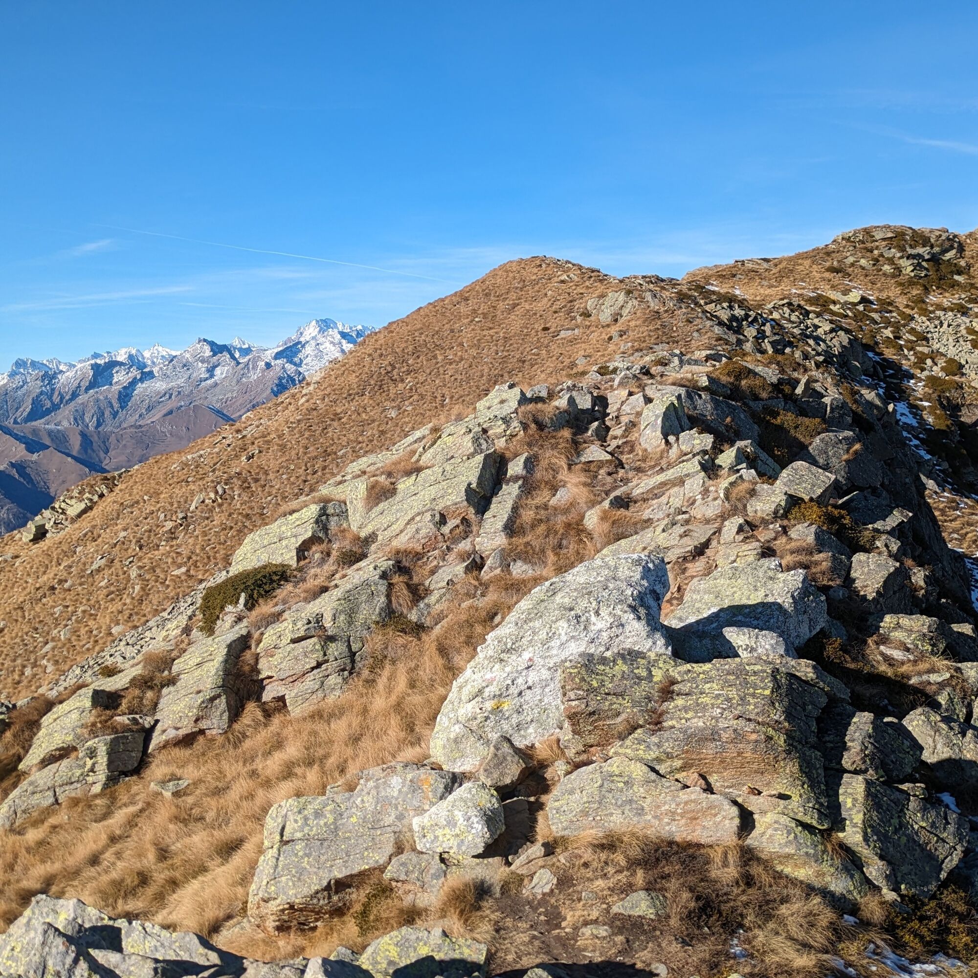
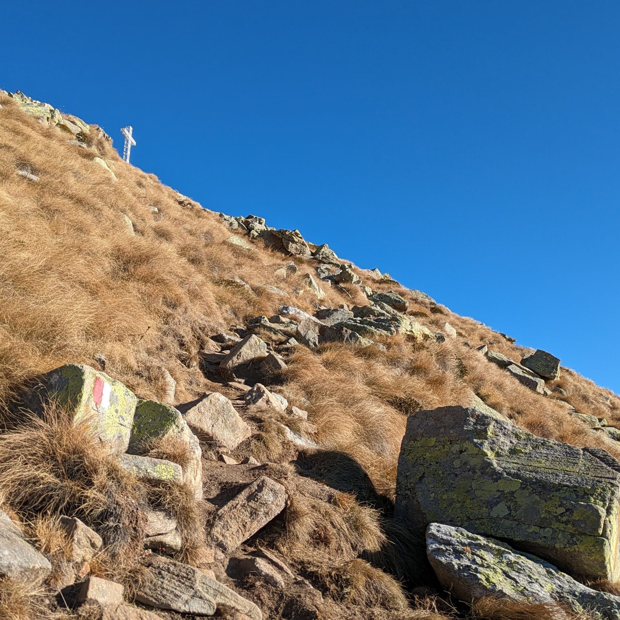
The ascent takes place on a well-marked trail that climbs the south-facing ridge, crossing grassy slopes and small scree fields. As you climb, the trail becomes steeper and in some cases it is useful to use your hands to pass small ledges.
If desired, from the Quinseina of Santa Elisabetta the trail continues to reach the north peak: however, in this case the route is reserved for experienced hikers!
The return is by the ascent route.

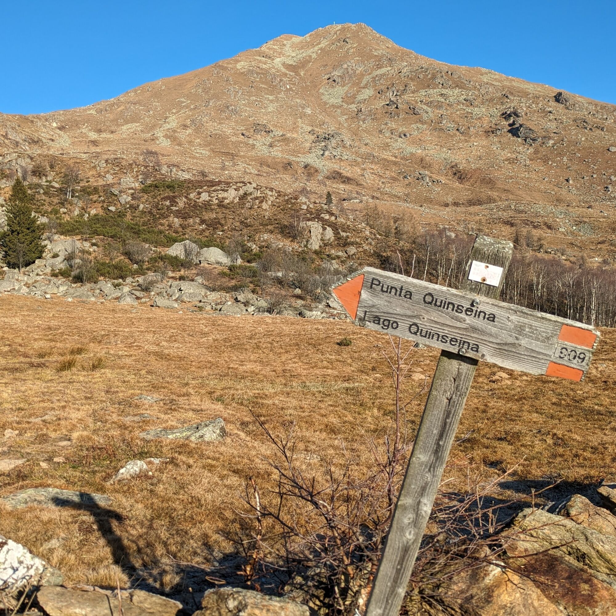
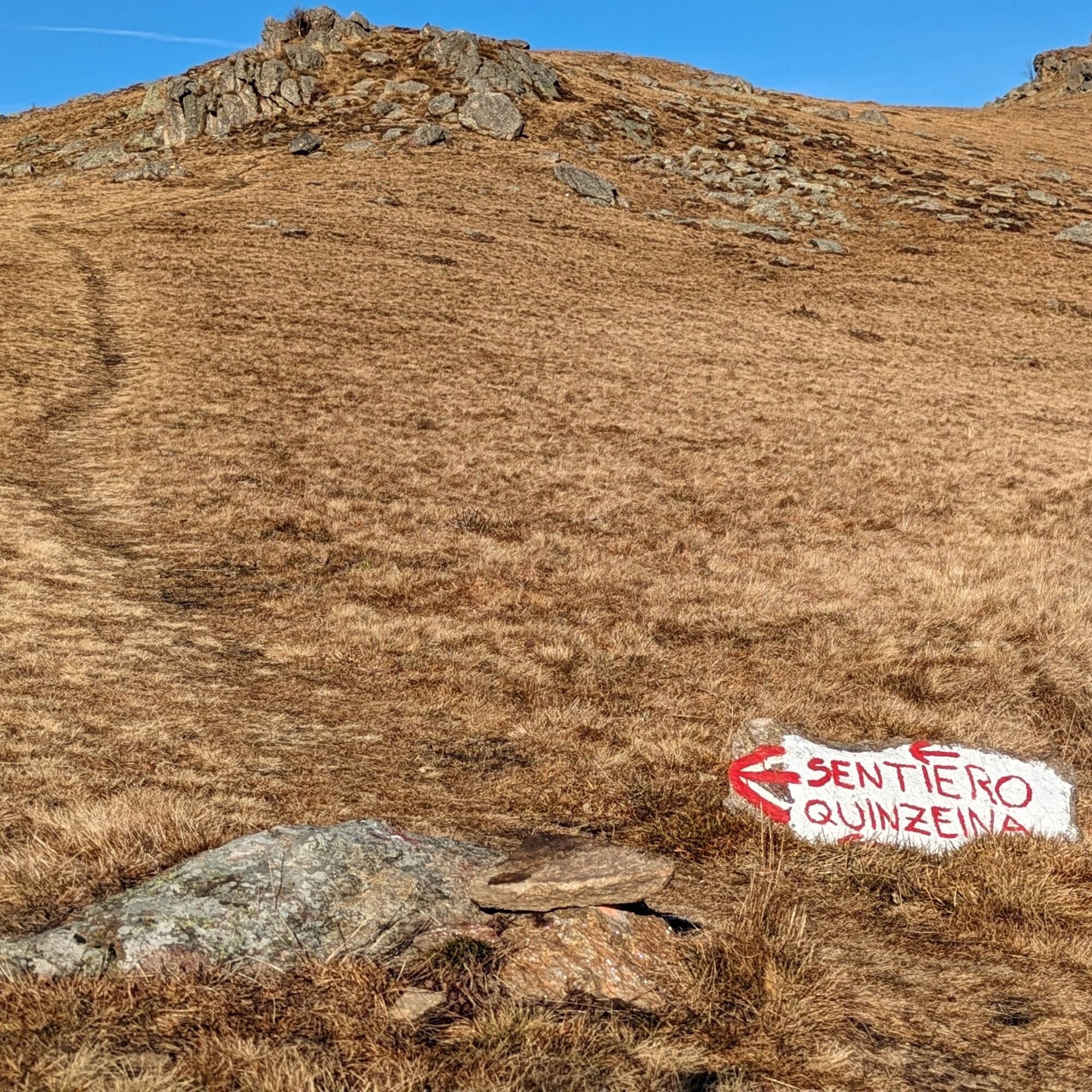

The route immediately approaches an alpine pasture with a short stretch of dirt road (signpost), near the building the trail starts climbing steeply until it intersects the dirt road to take left. Alternatively, you can follow the dirt road from the start to climb more gently and intersect the trail.
Soon after, leave the dirt road for the trail on the left (large colored stone indicating) which starts climbing the south ridge and reaches the wide Colle di Pian Mungel (1645 m). Continuing to climb you shortly reach a fork: continue climbing (marking 909, Quinseina) and ignore the trail on the left. From here on the trail is unique, following the ridge, occasionally overcoming some small rock jumps up to the peak with the metal cross.
Return on the ascent route
Tak
Tak
Non-slip sole footwear, trekking poles, wind/rain protection, a warm layer, hat and sunglasses are recommended.
Being a well exposed route, it is sometimes possible to ascend early in the season or in winter, in the absence of snow cover. It is important to check the trail conditions and be equipped with crampons to pass potentially icy sections.
From Cuorgné take the main road to Ceresole Reale, leaving it shortly after for the SP 45 of the Sacred Valley. You cross some villages, following the signs to the sanctuary of Santa Elisabetta, turning left at Colleretto Castelnuovo. Then climb a narrow mountain road that reaches the sanctuary. Continue up to the Pian del Lupo area.
In the Pian del Lupo area there are some clearings where it is possible to park
At the end of the hike, stop for a visit to the sanctuary of Santa Elisabetta.
Popularne wycieczki w okolicy
-
ALPETTE Monte Soglio and cima Mares from Balmassa
średniWędrówka 10,9 km -
5,0
VALCHIUSELLA Loop Fondo - Tissone - Tallorno
średniWędrówka 5,08 km -
4,0
Ciavanassa refuge from Piamprato
średniRakieta do chodzenia po śniegu 4,88 km -
CAMPIGLIA SOANA Sanctuary of San Besso
średniWędrówka 6,65 km -
4,0
TRAVERSELLA Souls and Transhumance Path
średniWędrówka 10,0 km -
BALDISSERO CANAVESE The Monti Pelati nature reserve
średniWędrówka 7,19 km -
4,0
VALPERGA Sacro Monte di Belmonte Loop
średniWędrówka 10,3 km -
RUEGLIO Cima Bossola from the Cima Bossola refuge
średniWędrówka 3,79 km -
VALCHIUSELLA Lakes of Alice Superiore and Meugliano
światłoWędrówka 7,99 km -
SPARONE The ancient mule track of Frachiamo and the Rocca di Sparone
średniWędrówka 6,17 km

Wędrówki i tropienie


Nie przegap ofert i inspiracji na następne wakacje
Twój adres e-mail została dodana do listy mailingowej.





