


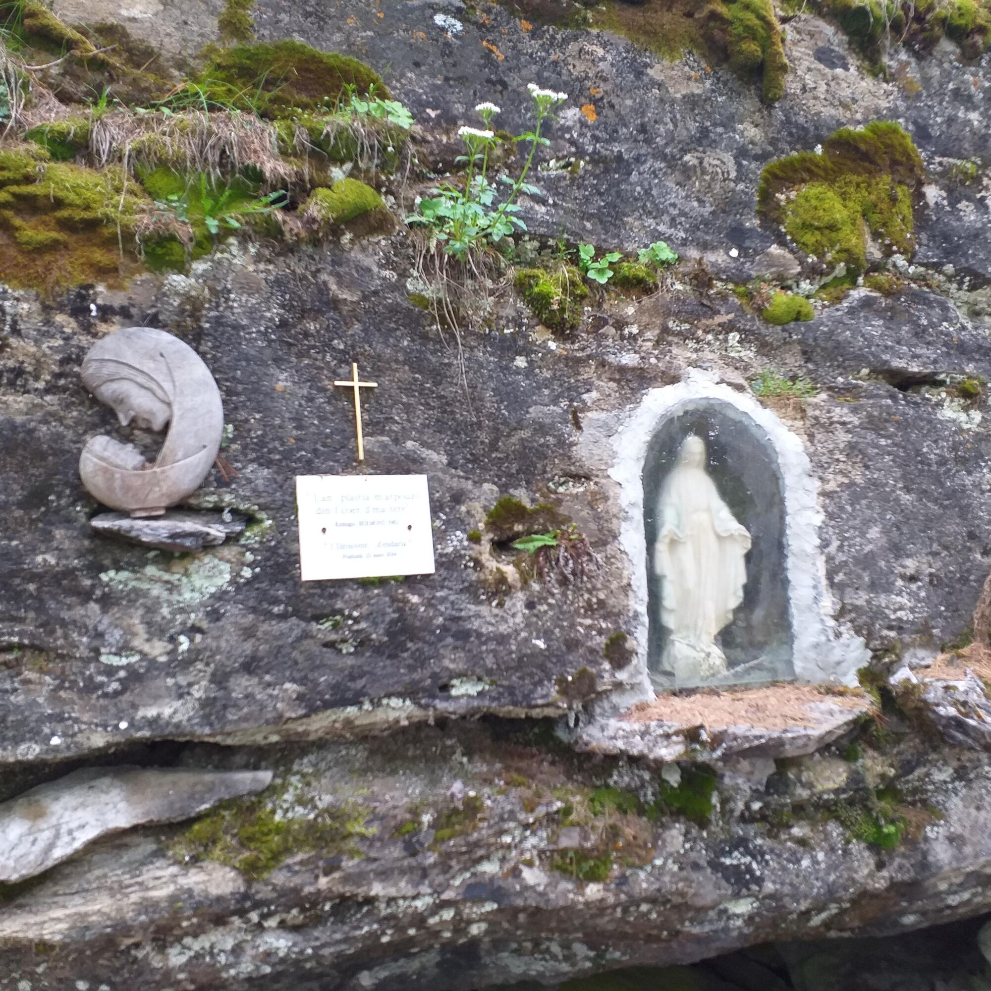
The historical Madonnina path
Poziom trudności: T2
At the end of the Second World War, spring 1944, there was fear that the Germans, while retreating, would retaliate against people: so the inhabitants of all the hamlets built shelters in the mountain...
At the end of the Second World War, spring 1944, there was fear that the Germans, while retreating, would retaliate against people: so the inhabitants of all the hamlets built shelters in the mountain to hide and protect, especially the elderly and children.
In the locality "d' Coulmion" (right bank of the Chisone stream) opposite Souchères Hautes, about ten families from La Ruà, Souchères Hautes, Rivets and Granges built a stone shelter: Giuseppino Villot was the mason who carried out the work with the help of the inhabitants.
After the war, all the families wanted to place in memory and as a thank you a "Madonnina" set in the stone that had played an important shelter role.
In 2004 the Pragelato Trialisti association "'l Tsapadrope" restored and cleaned the path leading to the Madonnina, which has become a point of historical interest.
Support and technical description by Beatrice Griot (nature guide).

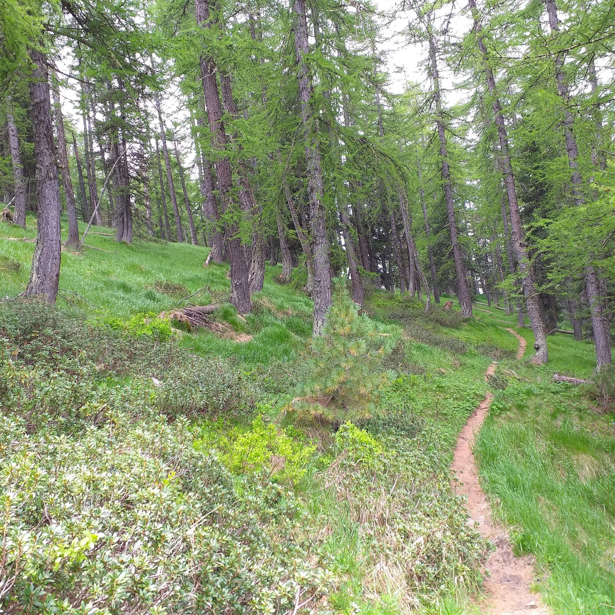
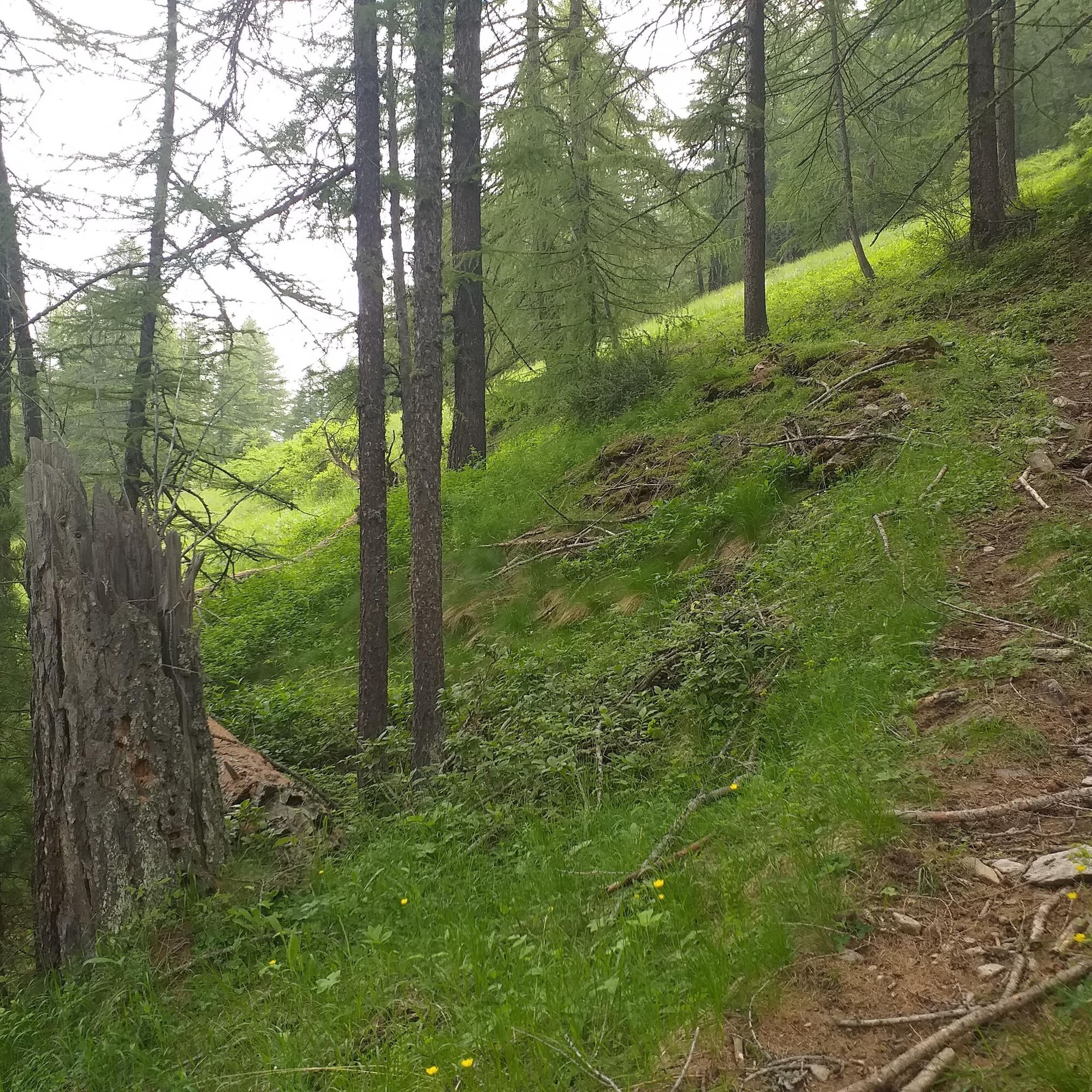
Path regularly marked, but not officially recorded.
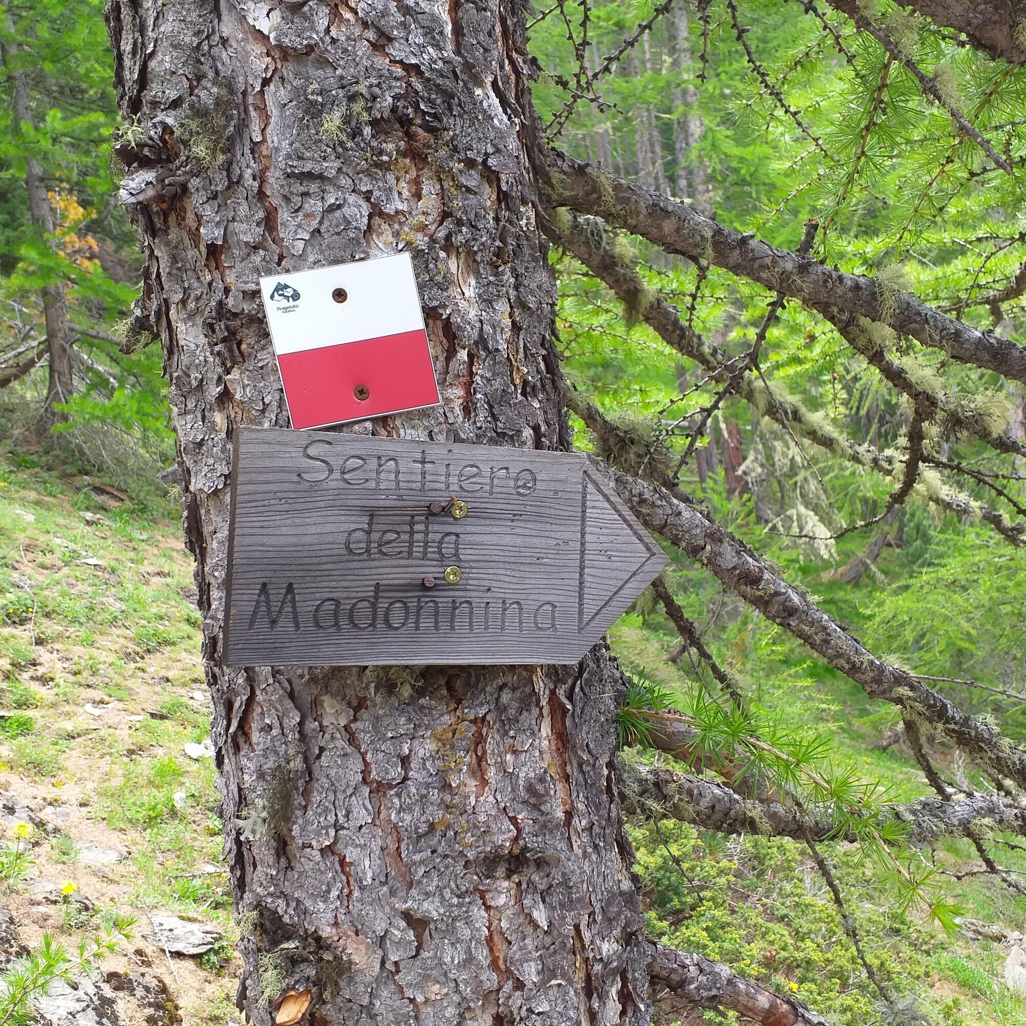
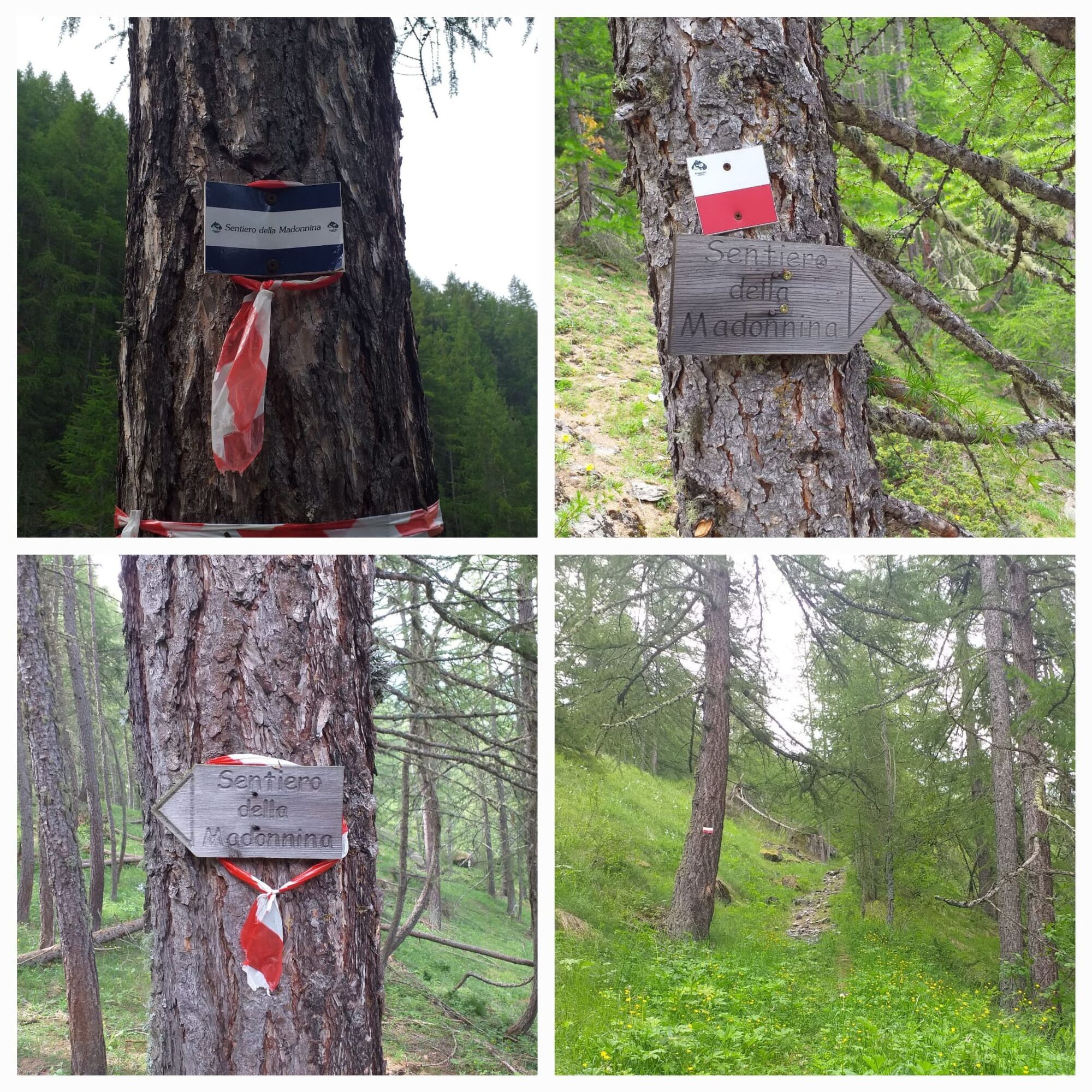
We recommend following closely the frequent signage found along the route, such as green ribbons, white and red markers, white and blue markers with the inscription "Sentiero della Madonnina".
We recommend the use of mountain boots, trekking poles, and a water bottle.
It is good practice to:
- Not throw waste into the environment but rather carry it with you;
- Respect private properties and restricted areas;
- Open and close electrified shepherd fences with the appropriate handles;
- Always keep your dog on a leash;
- Always carry a garbage bag with you;
- Keep distance and do not approach shepherd dogs protecting flocks.
Carefully follow the signs frequently found along the route.
We recommend to:
- Consult mountain guides and/or nature guides;
- Check weather bulletins and free apps;
- Do not undertake the excursion alone or inform a trusted person of your planned itinerary;
- Remember that the indicated times for the various itineraries are average and indicative and can vary considerably depending on weather conditions and your abilities. The variability of environmental conditions can significantly reduce safety levels.
Reaching Pragelato and the Tourist Office is easy by taking the S.P. 23 from Sestriere: Torino - Pinerolo - Perosa Argentina - Val Chisone. Crossing Piazza Lantelme, take the uphill Viale IV Novembre for about 300m until you reach the Via Sciatori bridge and the free parking area just before it.
ARRIVA bus Line no. 275/282
Stop La Ruà Tourist Office or Stop Souchères Hautes Pharmacy dei Borghi.
Free parking area near the Via Sciatori bridge at Souchères Hautes.
T2
Recommended for intermediate-expert hikers.
There is an alternative route to reach the Madonnina: near the Pragelato National Ski School, take the dirt road leading to the start of the ski jumps and then to what was the intermediate station of the Clot de la Soma chairlift. Following the signs towards Col del Pis, climb steeply until reaching the Forest Rangers Path that cuts across the mountain; a noticeboard indicates the location. Take the path on the left and cross the Mendia clearing on flat terrain until you find a clearly visible sign indicating a short descent to the left to the Madonnina. The goal is hidden in the undergrowth but is not difficult to find by keeping right relative to an avalanche area with many fallen trees on the ground.
The advantage of this path is the signage: green ribbons, white and red markers, or those with the inscription "Sentiero della Madonnina".
Popularne wycieczki w okolicy
- 5,0
SESTRIERE Monte Rognosa
ciężkiWędrówka 6,42 km - 5,0
CESANA T.SE Cesana - Fenils
światłoWędrówka 4,60 km - 5,0
CESANA T.SE Thures - Cima Bosco
ciężkiRakieta do chodzenia po śniegu 3,94 km SAUZE D'OULX Richardette - Montagne Seu )
średniMountainbike 19,9 kmOULX Borgata Seu (Gran Bosco Natural Park)
światłoRakieta do chodzenia po śniegu 5,93 kmPRAGELATO Colle dell'Assietta
ciężkiMountainbike 53,3 kmCESANA T.SE Val Thuras
średniWędrówka 7,58 kmCESANA T.SE Bousson - Lago Nero
średniRakieta do chodzenia po śniegu 4,68 kmPRAGELATO The winter charm of the Val Troncea Natural Park
światłoRakieta do chodzenia po śniegu 4,62 kmSESTRIERE Monte Fraiteve m. 2701
średniWędrówka 8,65 km

Wędrówki i tropienie


Nie przegap ofert i inspiracji na następne wakacje
Twój adres e-mail została dodana do listy mailingowej.