


PRAGELATO The Via dei Romani
Poziom trudności: T1
The Via dei Romani runs the entire length of the Municipality of Pragelato, starting from Souchères Basses and reaching Borgata Sestriere. The path, besides being used by the Romans, was very likely also...
The Via dei Romani runs the entire length of the Municipality of Pragelato, starting from Souchères Basses and reaching Borgata Sestriere. The path, besides being used by the Romans, was very likely also used by the mountain people for their bartering.
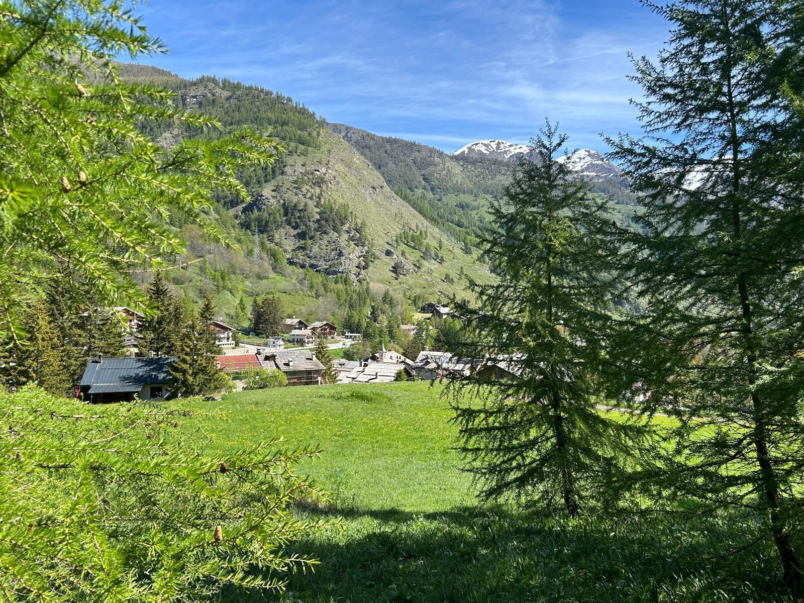
It starts from the old village of Souchères Basses following Via della Foresta and then takes a large path crossing larch woods and reaching the La Ruà bridge near the Kinka village. Staying on the right bank, you reach the Souchères Hautes bridge, cross it continuing on the left bank until the Granges bridge and then following along the Chisone Stream until Pattemouche. Upon reaching the village, you take Via Monte Banchetta on the right and after an initial steep climb, the carriage road gently climbs through the woods to Borgata Sestriere.
The return can be made along the same route or by reaching the SR23 and taking the Arriva bus line downhill towards Souchères Basses.
Technical description support by Beatrice Griot (nature guide).

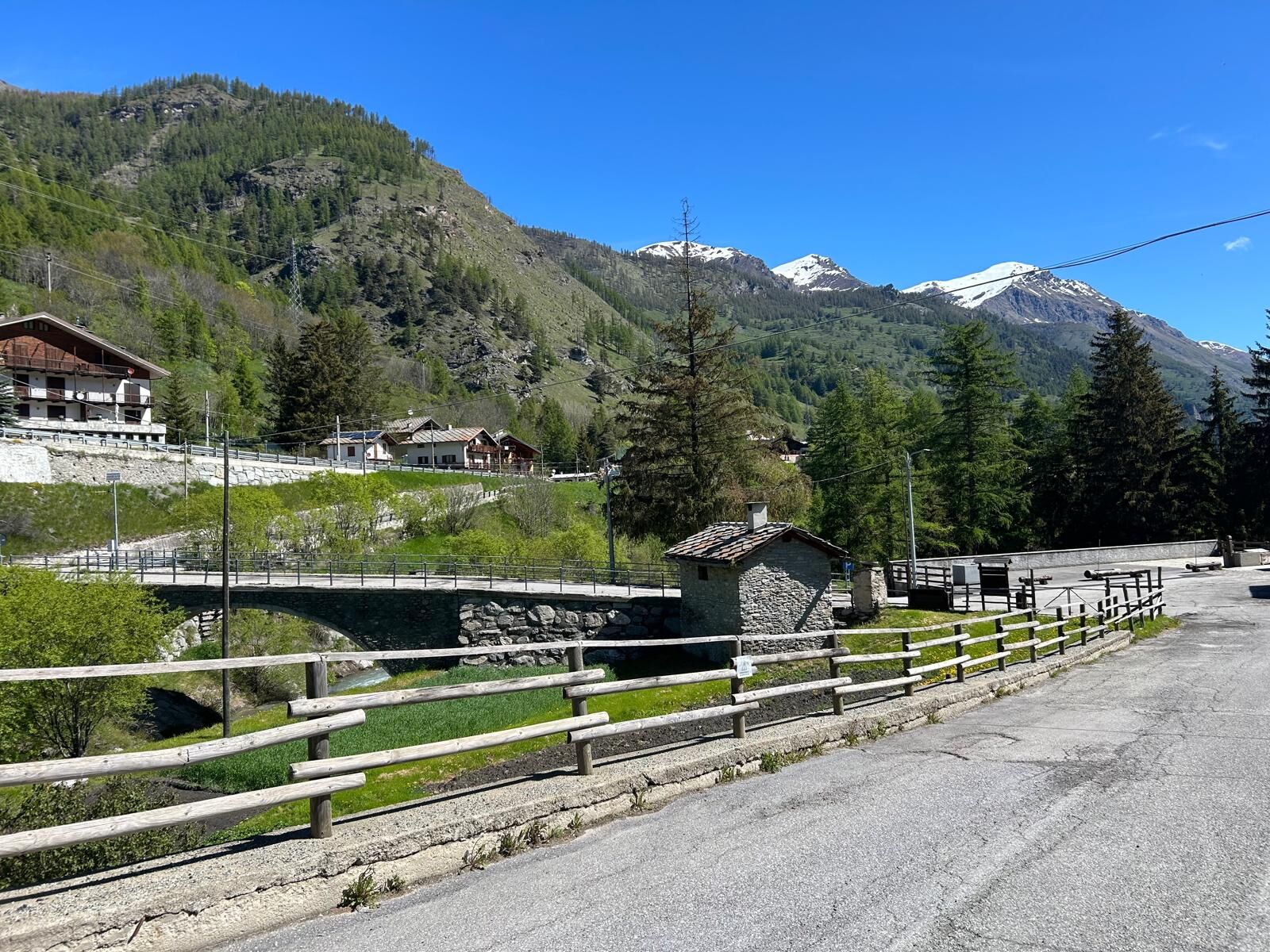
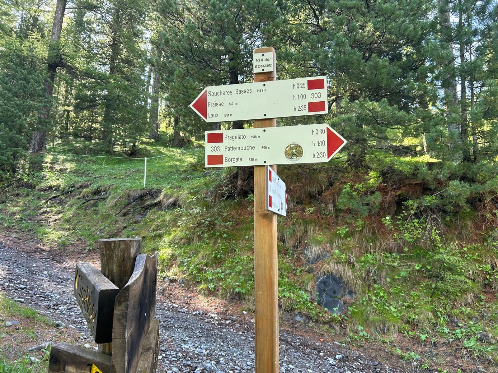
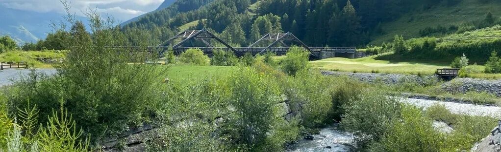
From Souchères Basses take route no. RP3a/303, at the first fork continue straight downhill towards the village of La Ruà. Follow the Chisone Stream staying on the right bank until the ford after the cemetery in the hamlet of Traverses (no. 303/GRV/SV). Continue on the left bank paying attention to the golf area until Pattemouche, where you take Via Banchetta on the right among the houses of the hamlet, uphill then along the Sentiero del Plaisentif (S.P. 379) to Borgata Sestriere.
Tak
We recommend wearing hiking boots, carrying water and trekking poles.
During the spring period we recommend paying close attention because along the route you may find many muddy areas.
We advise to:
- Consult mountain guides and/or nature escorts;
- Check weather forecasts and free apps;
- Do not hike alone or tell a trustworthy person the itinerary you intend to follow.
- Remember that the indicated travel times for the various itineraries are average and indicative and may vary considerably depending on weather conditions and your abilities, the variability of environmental conditions may lead to a significant reduction of safety levels.
By traveling on the S.P. 23 of Sestriere you arrive at Souchères Basses (in the municipality of Pragelato), reach the old village crossing the Chisone Stream and park the car.
ARRIVA Bus Line no. 275/282.
Stop at Souchères Basses Marcellin grocery store and you reach the old village crossing the Chisone Stream.
When reaching the old village of Souchère Basses you can park right after the bridge.
T1
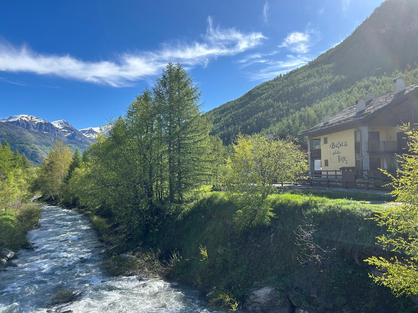
Since the route runs along the Chisone Stream you will find many spots for striking water/mountain themed photos.
The Via dei Romani coincides with the Italian equestrian route Route D'Artagnan. The journey crosses six countries: Germany, Netherlands, Belgium, France, Spain, and Italy; following the legend of Alexandre Dumas' Three Musketeers. The Italian route has an estimated duration of 3-4 days and passes through Claviere, Sauze di Cesana, Sestriere, Pragelato, Usseaux, Fenestrelle, Roure, Perosa Argentina, Villar Perosa and Pinerolo.
Good practices are:
- Do not throw waste into the environment, but carry it with you;
- Respect private properties and restricted areas;
- Open and close the electrified wires of shepherds' enclosures with the proper handles;
- Always keep your dog on a leash;
- Always carry a garbage bag with you;
- Keep distances and do not approach shepherd dogs protecting the flocks.
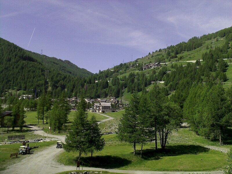
From mid-valley to Sestriere, the Via dei Romani allows you to cross many alpine hamlets and can also be traveled by MTB, horse, and with snowshoes.
Popularne wycieczki w okolicy
- 5,0
SESTRIERE Monte Rognosa
ciężkiWędrówka 6,42 km BARDONECCHIA - Loop Colle della Scala - Col de Montgenèvre - Colle del Sestriere
ciężkiDroga rowerowa 91,9 km- 5,0
CESANA T.SE Thures - Cima Bosco
ciężkiRakieta do chodzenia po śniegu 3,94 km - 5,0
CESANA T.SE Cesana - Fenils
światłoWędrówka 4,60 km SAUZE D'OULX Richardette - Montagne Seu )
średniMountainbike 19,9 kmOULX Borgata Seu (Gran Bosco Natural Park)
światłoRakieta do chodzenia po śniegu 5,93 kmPRAGELATO Colle dell'Assietta
ciężkiMountainbike 53,3 kmCESANA T.SE Val Thuras
średniWędrówka 7,58 kmCESANA T.SE The Lakes Route
średniWędrówka 10,2 kmCESANA T.SE Bousson - Lago Nero
średniRakieta do chodzenia po śniegu 4,68 km

Wędrówki i tropienie


Nie przegap ofert i inspiracji na następne wakacje
Twój adres e-mail została dodana do listy mailingowej.