







BROSSO Monte Cavallaria

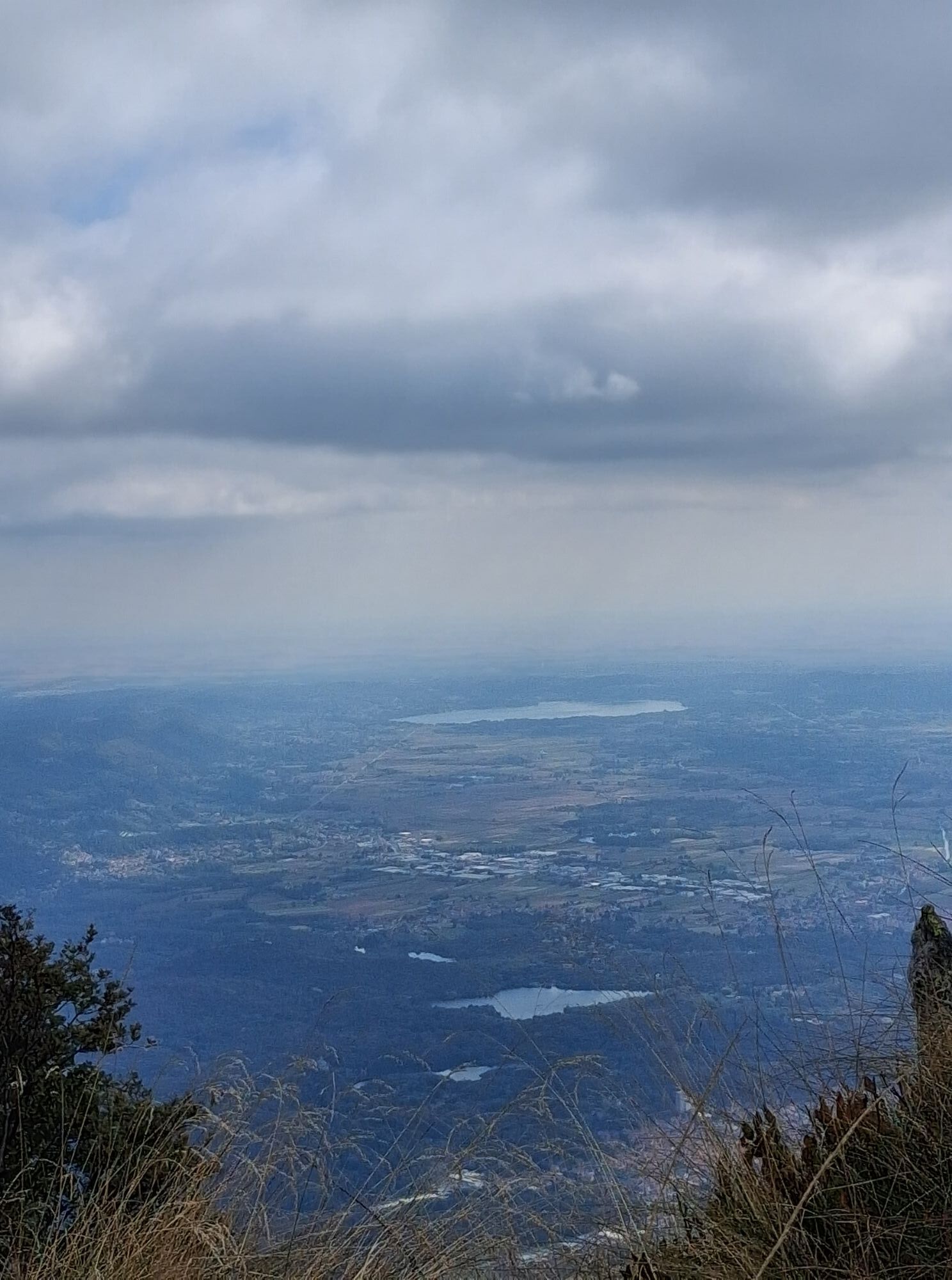
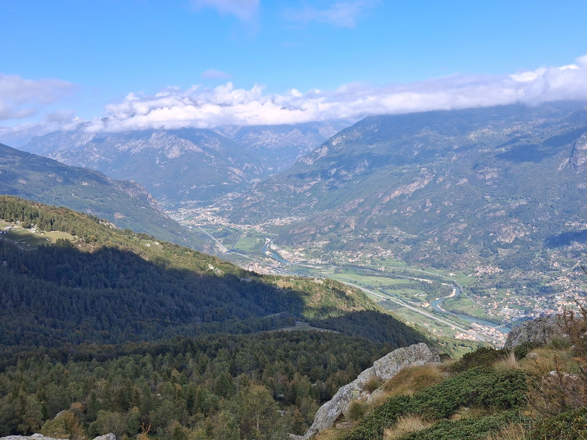
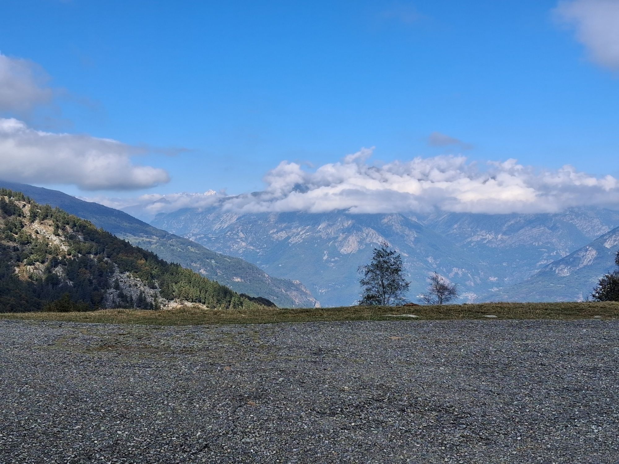
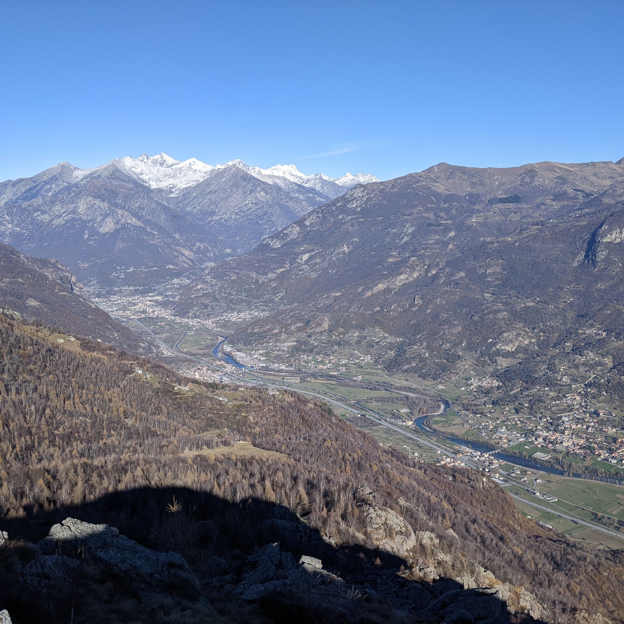
The view from the top of Monte Cavallaria is magnificent: you can admire the snow-covered peaks of the Aosta Valley, and a large part of the Northwestern Alpine arc is visible (from the Maritime Alps to...
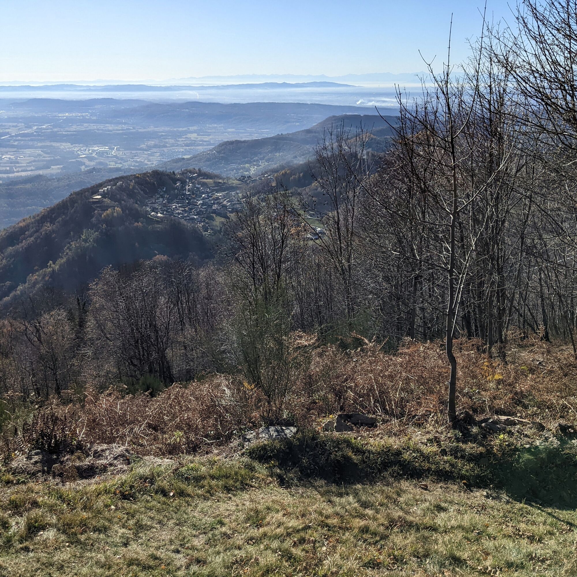
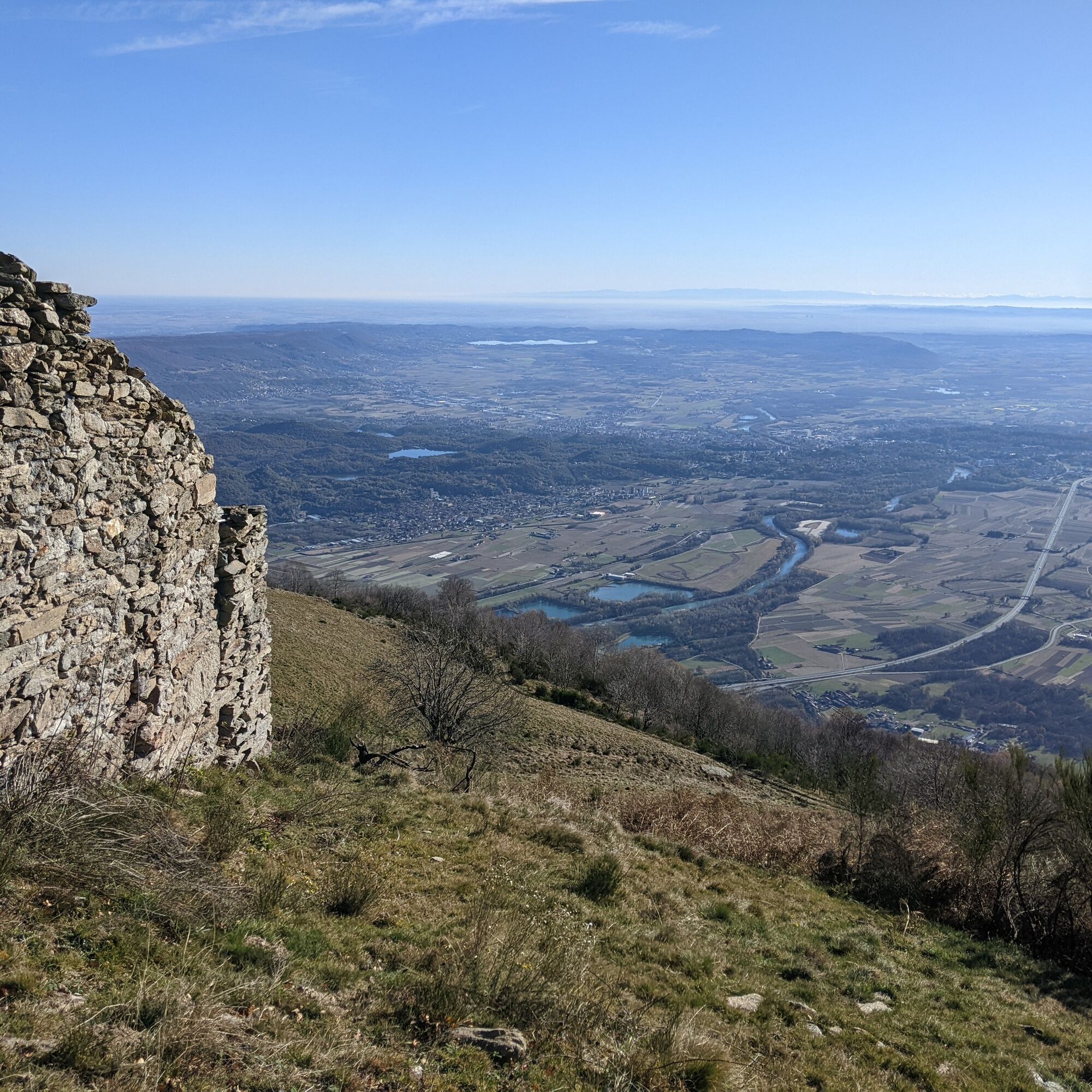
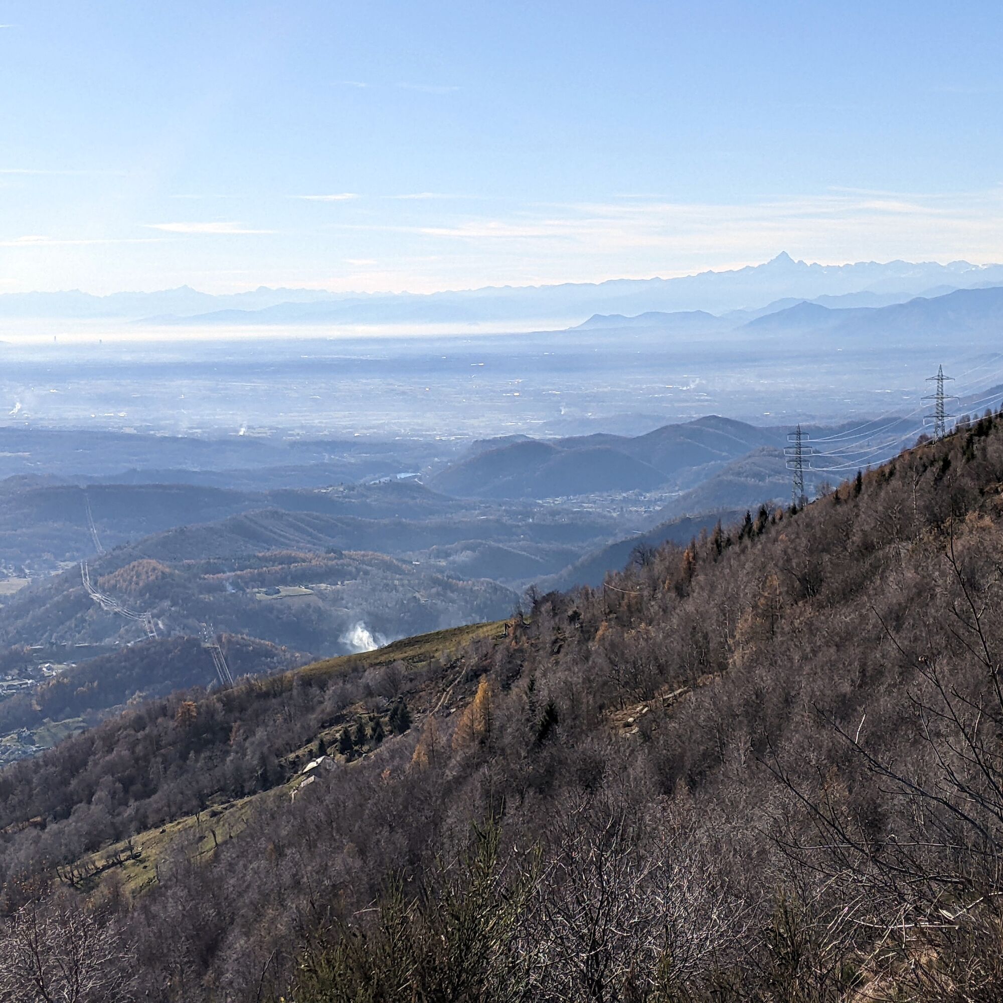
The view from the top of Monte Cavallaria is magnificent: you can admire the snow-covered peaks of the Aosta Valley, and a large part of the Northwestern Alpine arc is visible (from the Maritime Alps to the Orobie on the clearest days); the various elements of the Ivrea moraine amphitheater can be clearly recognized: the characteristic Serra and other moraines, numerous lakes, the town of Ivrea; the Canavese plain; Turin and its hill.
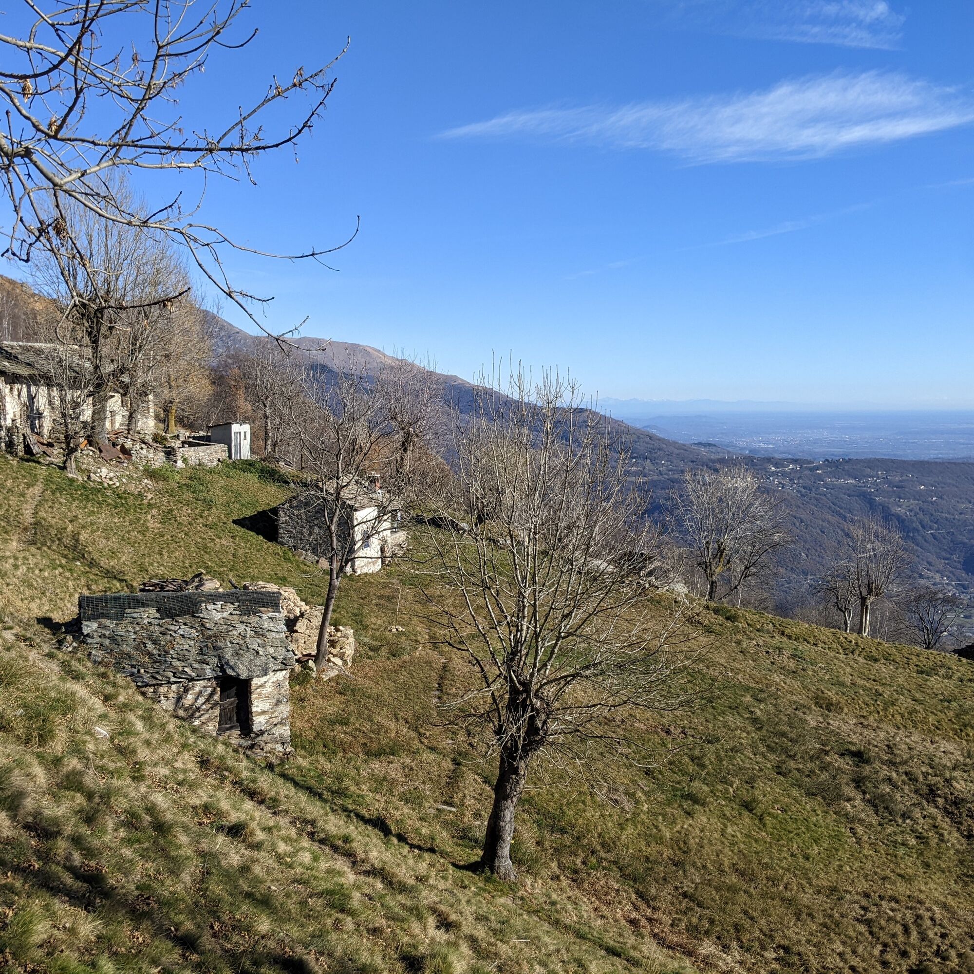
The ascent takes place on a sun-exposed slope, first through chestnut and beech woods, then through meadows and heathlands. Numerous historic alpine pastures, many still in use, thanks to the presence of dirt roads, which are partly used in this route as well.

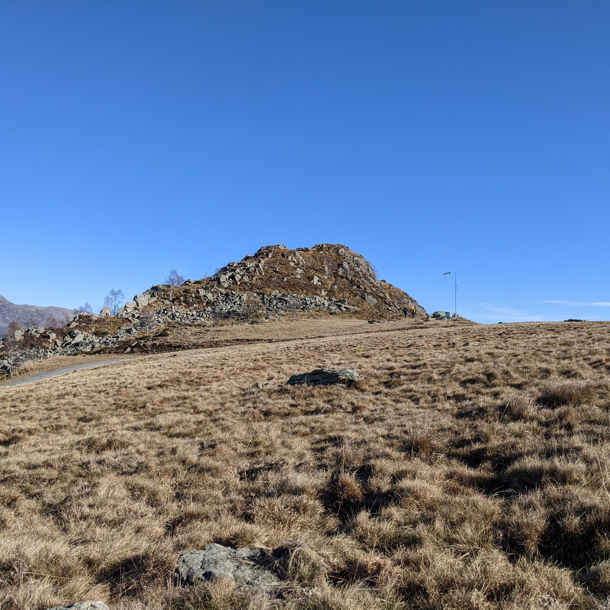
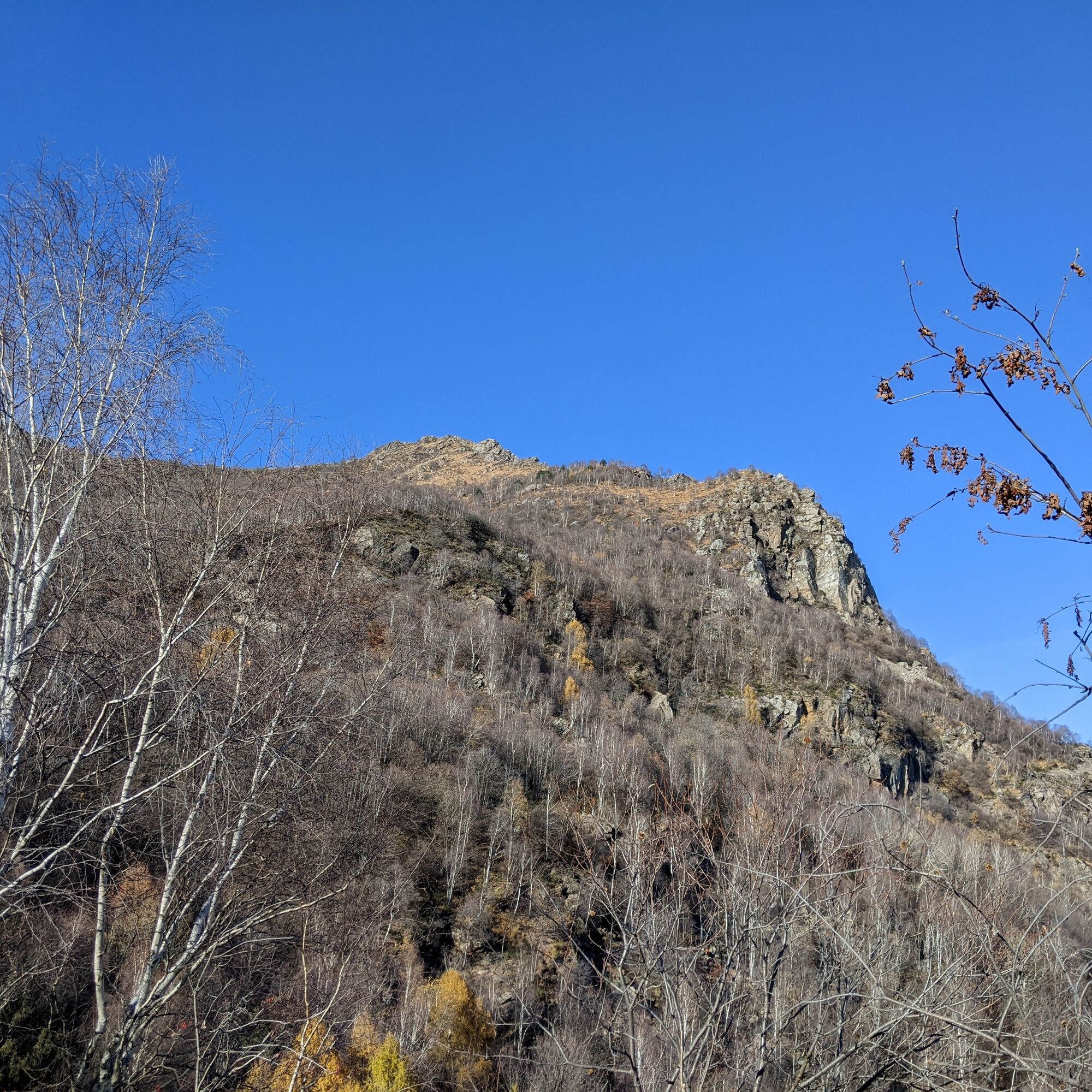

After passing the bridge, continue up the road briefly then take path 721, which climbs straight through the chestnut forest: be careful of the leaves, the trail is not always obvious. Upon reaching a road, turn right and after about a hundred meters, take the path on the left marked 721 again. Shortly after, at the height of a house, turn left on the level to a pylon where you start climbing again on the right. Then you cross a stretch of dirt road that connects the hairpin of an asphalt road to a mountain hut: turn right, pass a small watering trough, and shortly after on the left before the house, start climbing again.
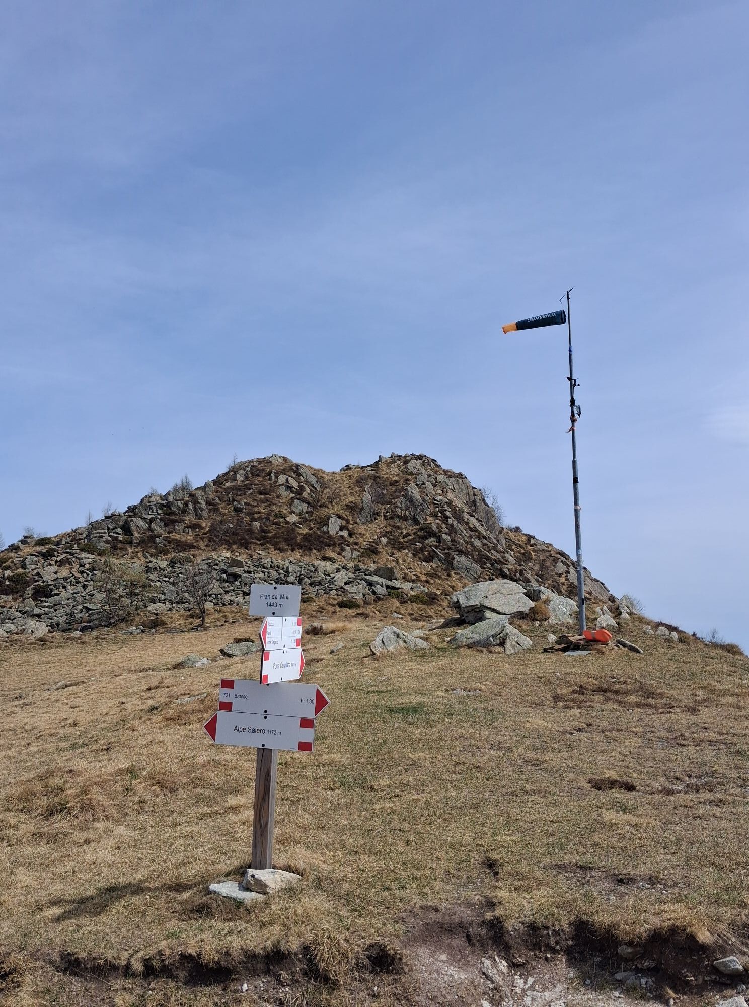
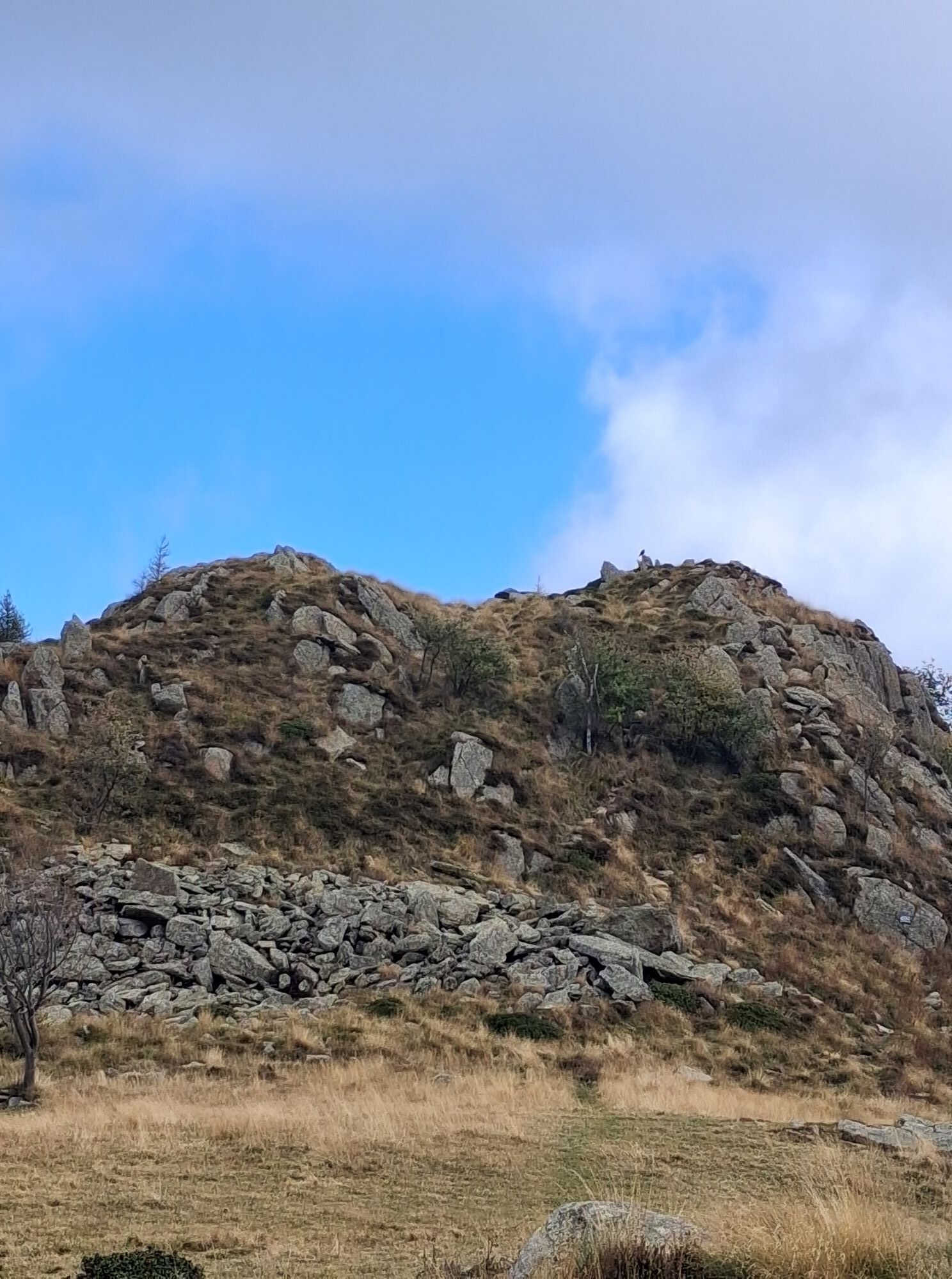
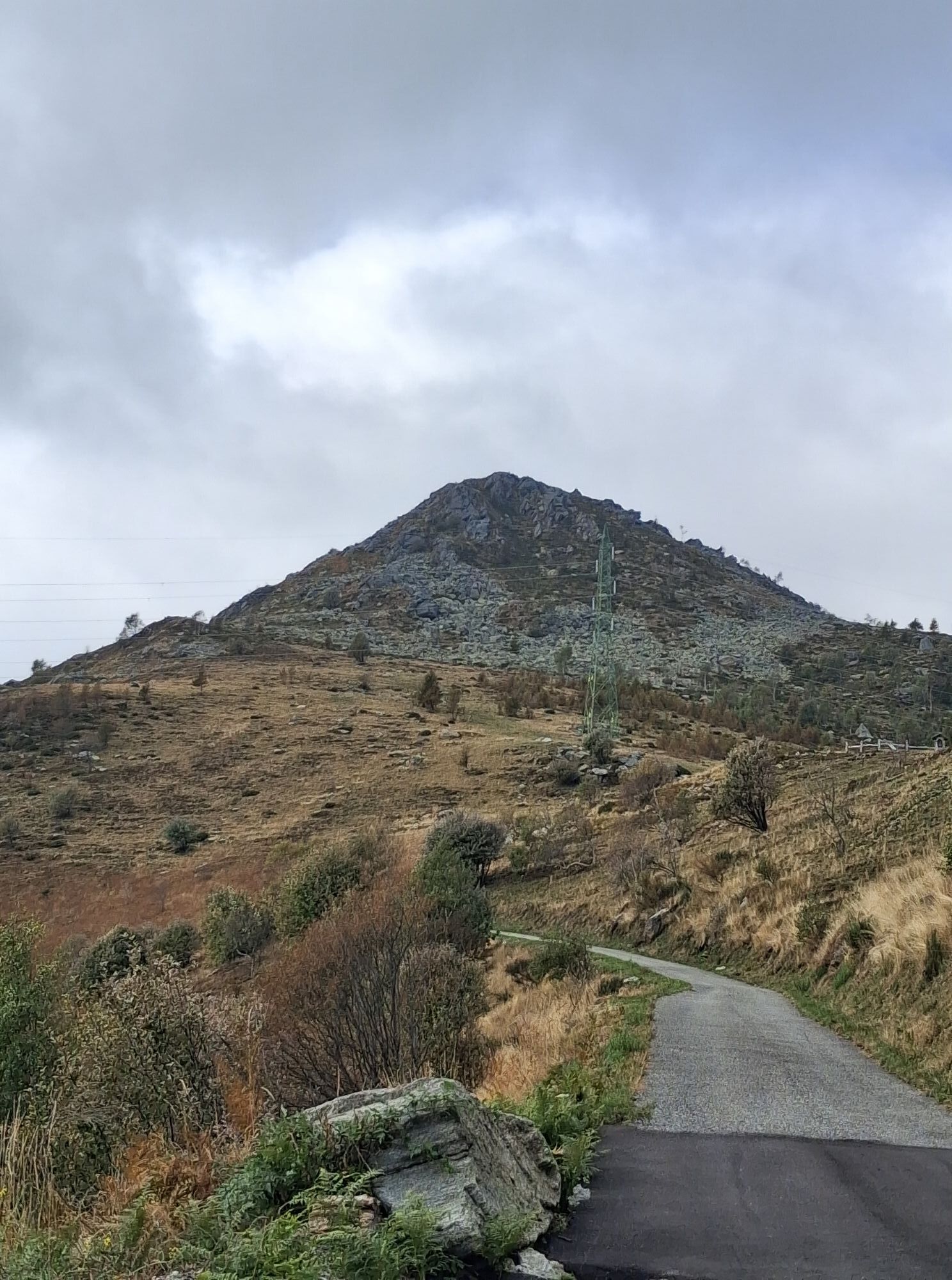
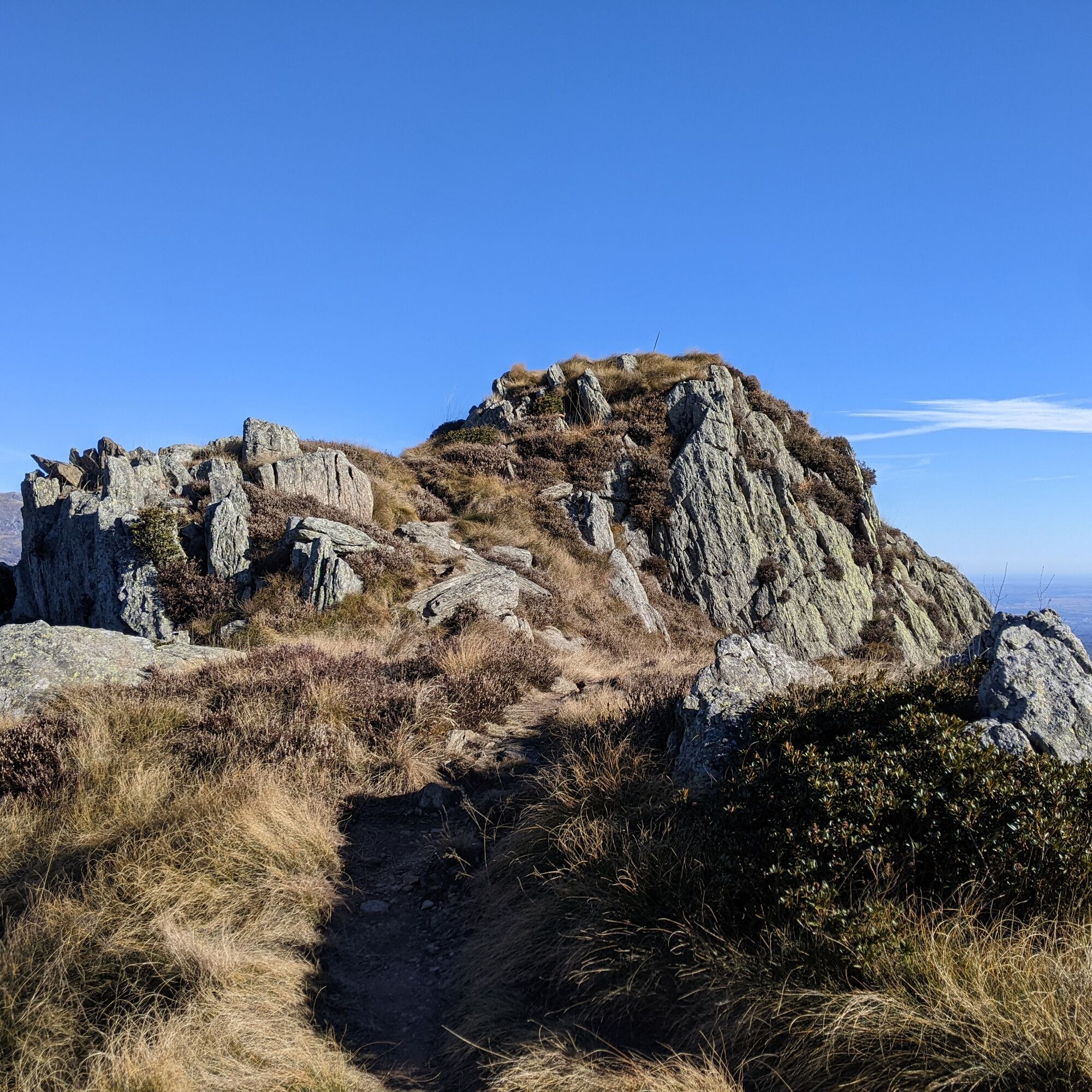
At the crossing with a dirt road, take it to the left and then immediately right on the asphalt (signs for 721 Pian dei Muli). At the first hairpin bend, leave the road for the path on the right. Pass the mountain huts of Trucco (about 1300 m) and ignoring a junction, reach a small road to climb on the left. At a junction with a larger asphalt road, turn right (signs): continue until the Pian dei Muli pass. You are now at the foot of the summit, which can be reached in 5 minutes (a sign indicates the direction).
For the descent, you can follow the ascent route or do the proposed loop: go back along the road until you meet path 722, which descends steeply through a small beech grove. Then cross a dirt road to follow until some mountain huts. Here take path 723, which descends steeply (alternatively you can continue following path 722), until crossing a stream. From this point, it becomes a dirt road to Piano degli Alemanni (where there is an area with tables and a fountain). Then continue descending on the road back to the starting point.
Tak
Non-slip sole shoes, wind/rain protection, a warm layer, hat and sunglasses, food and reserve water are recommended.
Be careful on the very last stretch to reach the summit due to tall slippery grass or possible ice during colder periods.
From Turin, take the Valchiusella via SP 64, turn right towards Brosso shortly after the village of Alice Superiore. Reach the center of Brosso and follow signs for Monte Gregorio and Monte Cavallaria. Travel the small road to a bridge where you can park.
There are 6-7 parking spaces near the bridge at the Caudano locality. Otherwise, you can park in the village, on Via Acquarossa, just before leaving the town.
Given the sunny exposure, it is advisable to do the hikes in spring and autumn.

Popularne wycieczki w okolicy
-
4,0
TRAVERSELLA Souls and Transhumance Path
średniWędrówka 10,0 km -
5,0
VALCHIUSELLA Loop Fondo - Tissone - Tallorno
średniWędrówka 5,08 km -
BALDISSERO CANAVESE The Monti Pelati nature reserve
średniWędrówka 7,19 km -
4,0
CAREMA Vineyard Path
światłoTrasa tematyczna 3,94 km -
SETTIMO VITTONE Colma di Mombarone from Trovinasse
średniWędrówka 3,92 km -
COLLERETTO CASTELNUOVO Pian del Lupo - Quinseina di Santa Elisabetta
ciężkiWędrówka 6,27 km -
RUEGLIO Cima Bossola from the Cima Bossola refuge
średniWędrówka 3,79 km -
VALCHIUSELLA Lakes of Alice Superiore and Meugliano
światłoWędrówka 7,99 km -
MONTALTO DORA Terre Ballerine - In search of Lake Coniglio
światłoWędrówka 5,35 km -
CHIAVERANO Loop on the Serra d'Ivrea
średniWędrówka 14,5 km

Wędrówki i tropienie


Nie przegap ofert i inspiracji na następne wakacje
Twój adres e-mail została dodana do listy mailingowej.





