







CESANA T.SE Desertes Loop - Gr. Millaure - Lozet - Autagnas - Balbieres
The circular route connects the hamlets and alpine pastures of Desertes. The location is very well exposed to the sun and the vegetation is particular: wooded areas alternate with meadows, ancient cultivations,...
The circular route connects the hamlets and alpine pastures of Desertes. The location is very well exposed to the sun and the vegetation is particular: wooded areas alternate with meadows, ancient cultivations, and various kinds of shrubs dominated by juniper. Besides botanical interest, the route also has anthropological and historical value: the hamlets were permanently inhabited until the early decades of the twentieth century and constituted an autonomous municipality; the Desertes pass located uphill at the border between Italy and France was heavily trafficked in the past.
Support and technical description by Barbara Demonte - Environmental hiking guide.

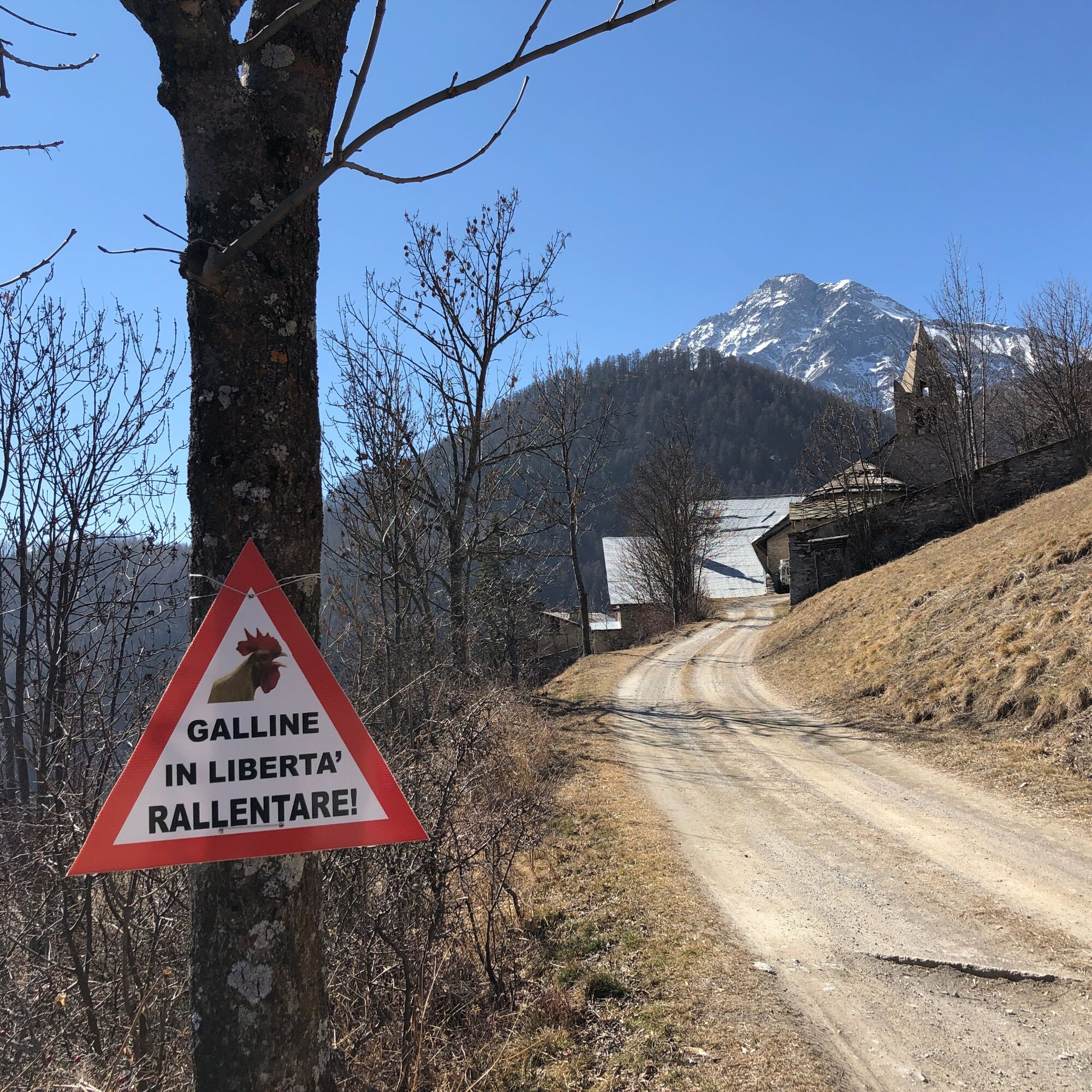
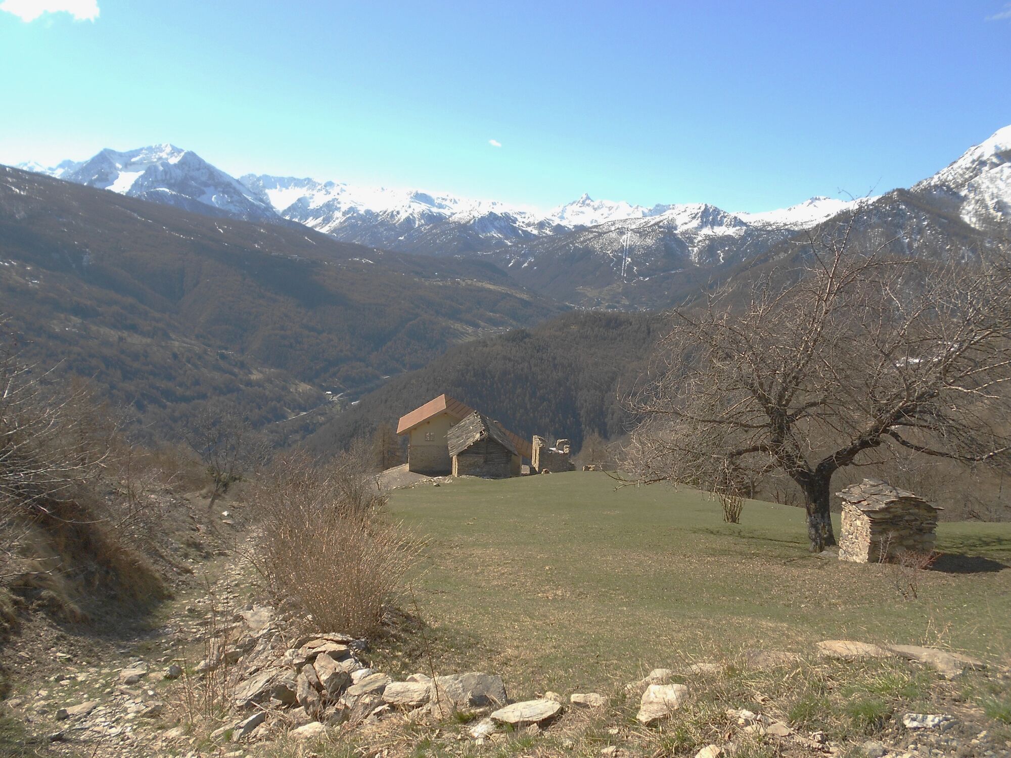
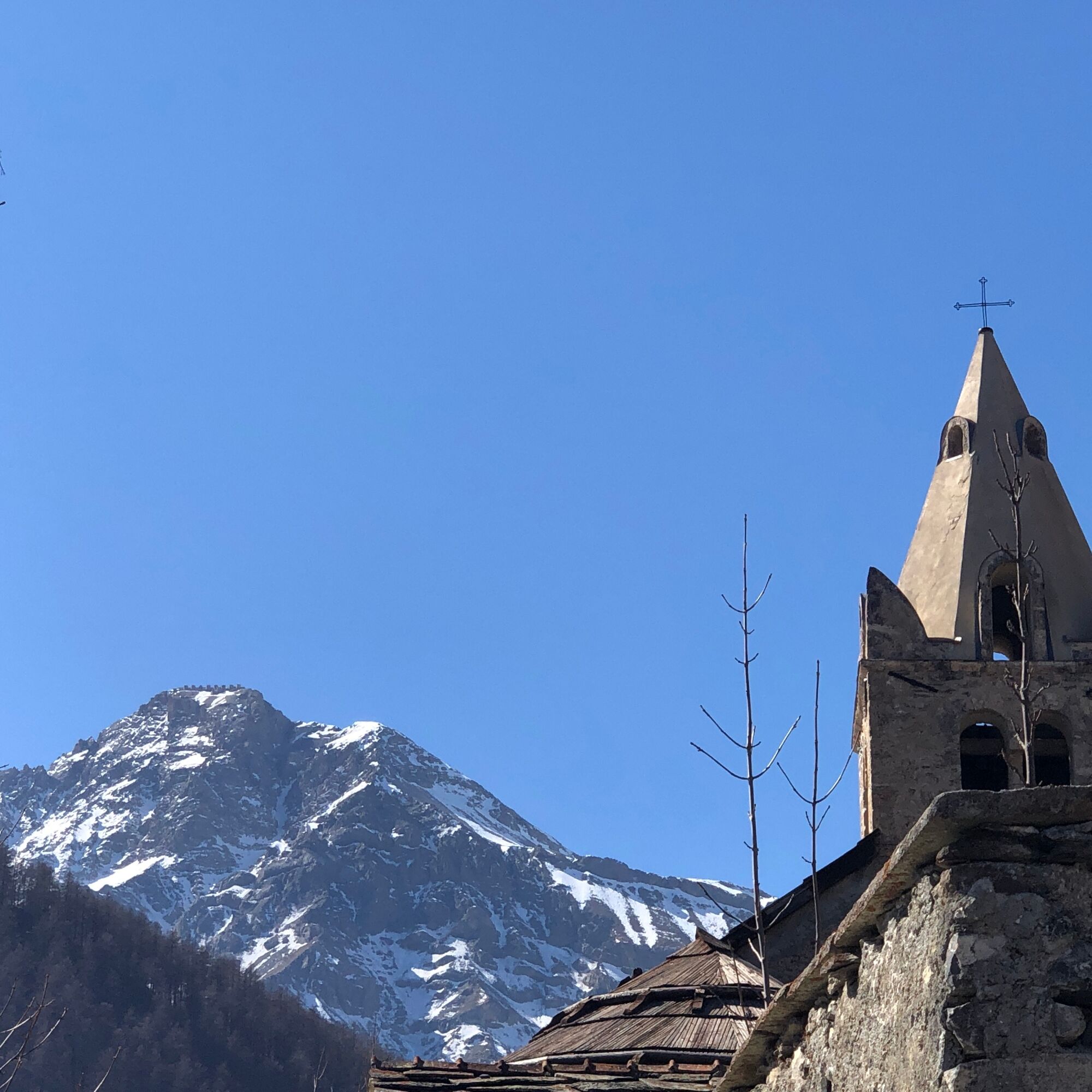
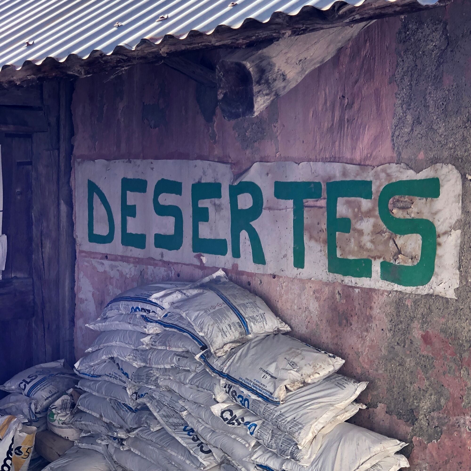
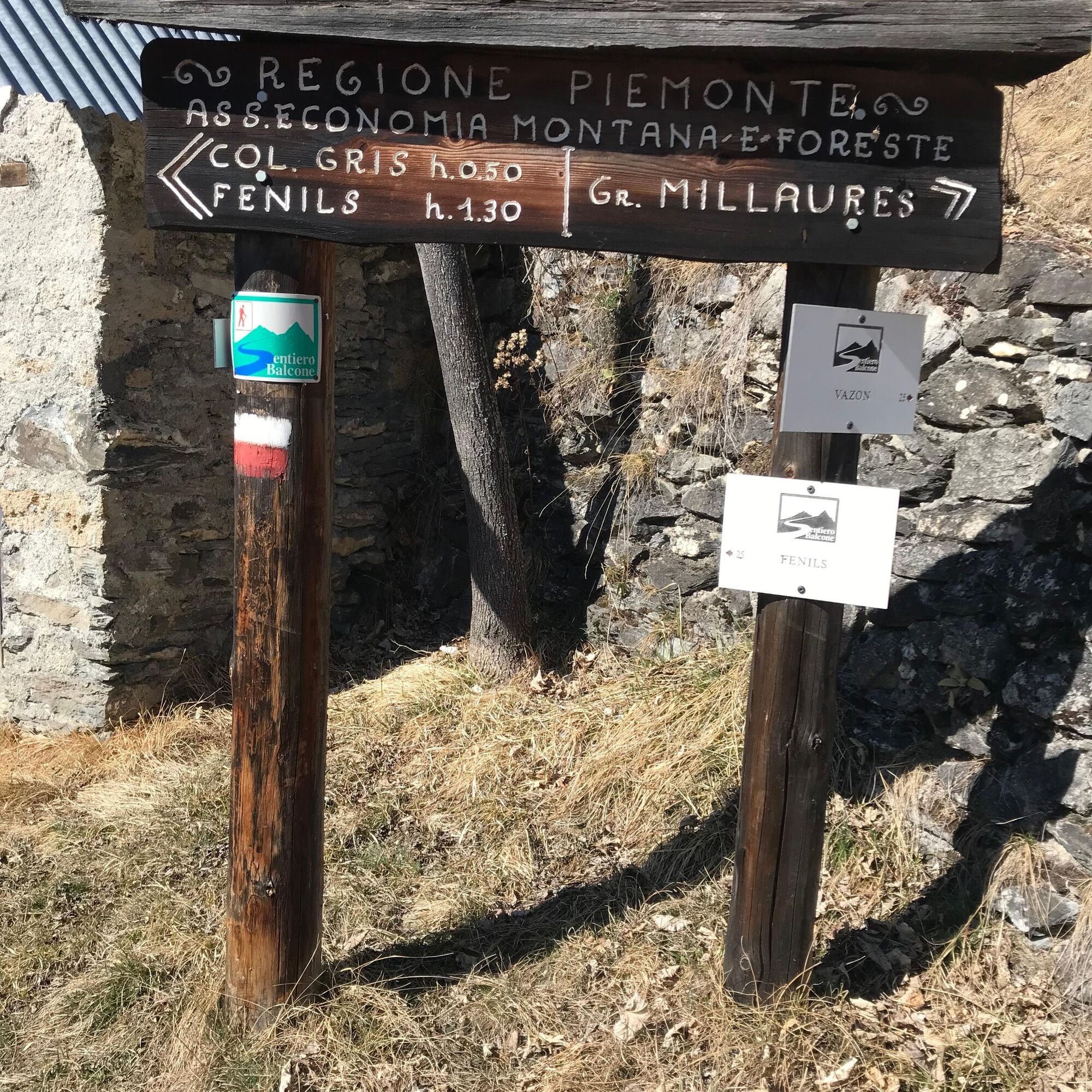

The route starts at the Desertes junction, along state road 24 in the stretch between Oulx and Fenils (there are two entrances: one on the left coming from Cesana, about 6 km away, and one on the right coming from Oulx, about 4.5 km away); parking is available near the intersections or just below.
Starting from an altitude of about 1,230 meters, you immediately descend on the dirt road crossing the concrete bridge over the Dora Riparia river; continuing on the dirt road, after a few hundred meters, you leave the path on the left leading to Fenils, and immediately after the little bridge over the Desertes stream, you leave the dirt road at the military constructions, to take the path entirely to the left, called “La Vouta”. After the last ruins, follow the trail for about 300 meters almost flat along the streambed until a sign points right to the “La Vouta” path, which from an altitude of about 1,270 meters starts steeply climbing along the slope making a series of zigzags on a scenic route, slightly exposed in some sections, until reaching the road at about 1,460 meters altitude; following it shortly you reach the hamlet of Desertes at about 1,550 meters with the Church of Santa Margherita. Crossing the hamlet, at the Chapel of Sant’Antonio, leave the left path to Fenils and follow the road which, after about 1 km of panoramic stretch, leads to the alpine pasture of Grange Maillaure at about 1,760 meters altitude, where some restored huts are present (alternatively, a path just above the chapel ascends the slope up to the huts). At Millaure, instead of proceeding straight towards the upper houses in the direction of the Desertes pass, take a path to the right along the slope which, with continuous gentle ups and downs in the larch forest, leads to a small bridge and a fountain; from here you can reach the upper part of Lozet (about 1,790 meters), crossing the lovely restored hamlet, served by a road coming from Vazon. Returning to the foot of Lozet at about 1,720 meters, follow the descending path crossing the hamlet of Autagnas already in sight (about 1,680 meters): the houses and the characteristic chapel with white and symmetrical arcades are ruined and now abandoned. Descending through shrubs and a few dry-stone walls, you reach at about 1,580 meters a first junction on the right (path along the slope towards Desertes), and descending another 300 meters, a second junction on the left (path towards Soubras). From here a last steep, uneven, and narrow stretch between shrubs and broadleaf trees leads to a small chapel and immediately after to the beautiful hamlet of Balbieres which also hosts the homonymous refuge; at the end of the village at about 1,420 meters stands the chapel of San Firmino and Saturnino. From here you access the road which to the right leads to Desertes, while to the left, along a scenic path, partly panoramic and partly immersed in broadleaf forest, bordered by dry-stone walls and rocky outcrops, leads to the military constructions near the entrance of the “La Vouta” path, and from there back to the starting point.
Wear clothing and footwear appropriate for the environment and season.
Up to the Desertes hamlet, the road is open to motor traffic
From Turin follow signs for the North Ring Road towards Trafori - Frejus. Take the A32 motorway towards Bardonecchia and exit at Monginevro Sestriere. At the tunnel exit continue right towards Cesana, at the Desertes junction turn right and park.
From Cesana travel along SS 24 towards Oulx for about 6 km.
Reachable by public transport.
Train Turin P.N - Bardonecchia (stops at Oulx-Cesana-Claviere-Sestriere) + Bus Arriva line no. 285 from Oulx to Cesana (Desertes stop)
Parking available near SS 24 at the Desertes junction
- Before undertaking any hike it is recommended to check weather bulletins or ask for information at local Tourism Offices.
- It is good practice not to hike alone and always inform someone about your destination.
- Do not throw waste into the environment but carry it with you, possibly collecting waste left by others.
- The estimated times are indicative and may vary depending on weather conditions and personal ability.
Refreshment available at Rifugio Balbieres (check seasonal openings)
Fountains at Desertes, Lozet, and Balbieres
Uzyskaj wgląd Zawsze na żywo z ponad 9 500 kamer internetowych. bergfex Jako użytkownik Pro, możesz teraz zobaczyć odpowiednie kamery internetowe dla wielu wycieczek w aplikacji wycieczki od. Pozwala to na bezpośredni podgląd aktualnych warunków. Popularne wycieczki w okolicy
- 5,0
BARDONECCHIA Colle Sommeiller
średniMountainbike 25,4 km - 4,5
BARDONECCHIA Pian del Colle - Valle Stretta
średniRakieta do chodzenia po śniegu 5,02 km - 5,0
BARDONECCHIA Forte Jafferau Loop
ciężkiMountainbike 36,8 km - 4,7
BARDONECCHIA Col des Acles - Passo della Mulattiera
średniWędrówka 6,23 km - 4,5
BARDONECCHIA Walter Bonatti Path - Grange della Rho
średniWędrówka 6,06 km - 5,0
BARDONECCHIA Decauville
średniWędrówka 7,29 km BARDONECCHIA - Loop Colle della Scala - Col de Montgenèvre - Colle del Sestriere
ciężkiDroga rowerowa 91,9 km- 5,0
SESTRIERE Monte Rognosa
ciężkiWędrówka 6,42 km BARDONECCHIA Monte Jafferau
ciężkiWędrówka 11,6 kmBARDONECCHIA Lago Verde
światłoMountainbike 10,7 km
Wędrówki i tropienie


Nie przegap ofert i inspiracji na następne wakacje
Twój adres e-mail została dodana do listy mailingowej.





