







Turin hill trail route
This loop does not cover the entire Turin hill range, but it’s close! In fact, it allows you to travel half of the hill ridge, from Pino Torinese to the Maddalena hill; the loop will also take you to discover...
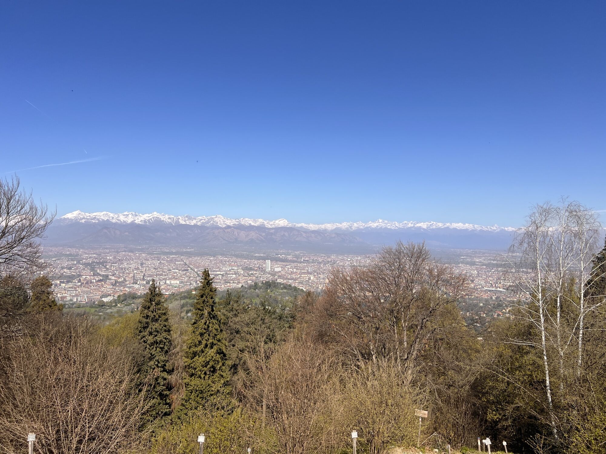
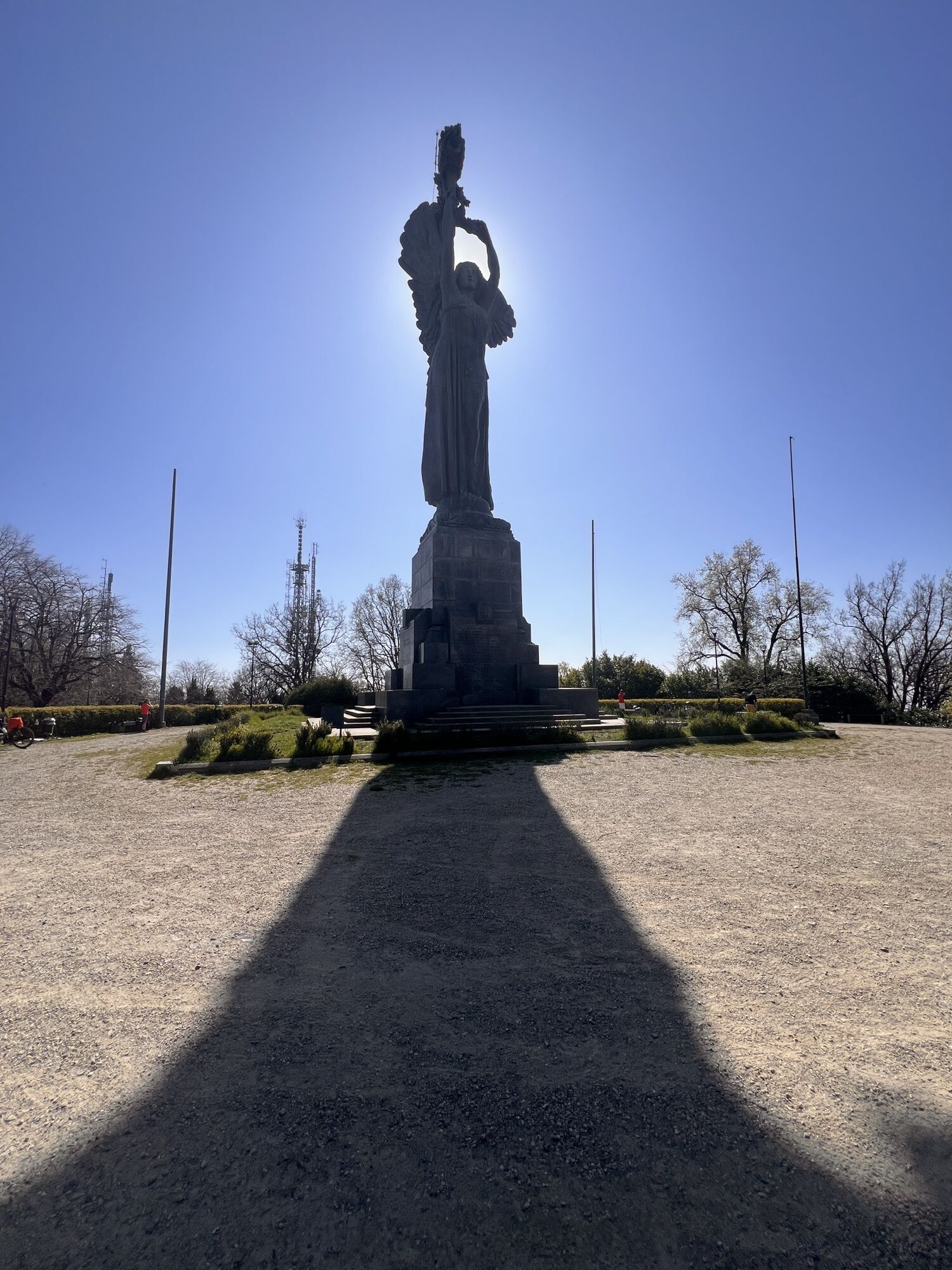
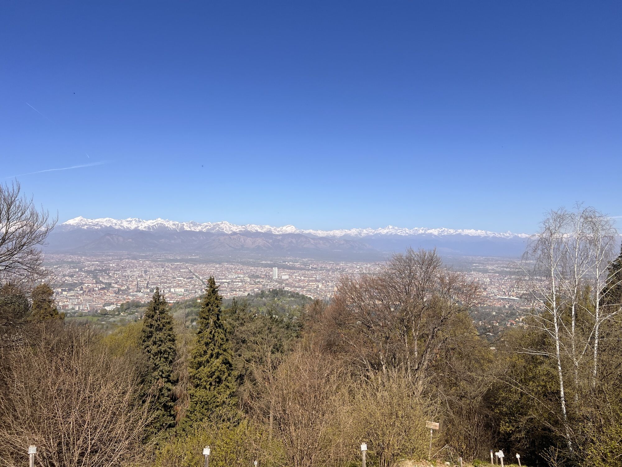
This loop does not cover the entire Turin hill range, but it’s close! In fact, it allows you to travel half of the hill ridge, from Pino Torinese to the Maddalena hill; the loop will also take you to discover numerous medium hill and river parks, as well as many artistic and cultural attractions scattered along its path. You start from the Gran Madre di Dio church, which resembles the Pantheon, where one of the statues in front of the entrance is said to indicate the hiding place of the holy Grail. With the church behind you, you will see the bridge over the Po and the majestic Piazza Vittorio Veneto. You can start your Trail heading north through Michelotti Park or the former zoo up to the Sassi bridge. To the left, you will have the river while running on the beautiful gravel cycling-pedestrian path that, between a bocce club and the monumental Motovelodromo, will take you to the Sassi district. Here, you will cross Corso Casale to gradually start climbing. Following the slightly uphill asphalt road, the landscape will change, becoming hill forest up to the ramp leading to the “green ring”; from here, with some hairpin bends, you will gain altitude up to Villa Ottolenghi. About halfway up, there is a viewpoint with a good view of the majestic Superga basilica. The climb continues along Moreno street and then on path 61, which leads to Pino Torinese; here the trail leads to a convenient water point where you can refresh yourself before continuing. You then continue towards the Pino astronomical observatory, ascend to Bric Serra, and descend to Pian Mongino, from which you enjoy the view over the southeast side and the plain towards the town of Chieri. This whole stretch is a fun single-track “eat and drink” trail shared with MTB cyclists, so always pay attention, be courteous, and respect other users. Continuing again on dirt, you reach Col d'Arsete where, after crossing the roundabout, you take the old road to the hermitage; once at the hermitage hill, continue on path 12 which will take you halfway to path 16, which then goes up to the summit of the Maddalena hill lighthouse. Here at the top stands the majestic bronze statue of Victory, the third tallest in the world. The panorama allows you to dominate the entire city. From west to east, the view meets the unmistakable pyramid of Monviso, then the entrance of Val Susa with the Sacra di San Michele, the Rocciamelone in the background, Musinè, and finally to the east the Superga basilica. After admiring the panorama, you can start descending on path 16 through the Rimembranza park, then San Vito park, to complete the descent through Leopardi park, which will bring you back to river level. Crossing the Po on the Isabella bridge, you will pass over the months' fountain and through Valentino park. You pass under the Valentino Castle and skirt various rowing clubs to reach the entrance arch and descend towards the famous Murazzi del Po, which will take you to conclude our loop again at the Gran Madre di Dio church. The route unfolds over various types of surfaces from asphalt to stones to dirt and grass; it does not present particular difficulties but has significant elevation gain and considerable distance.


Along Po river Corso Casale - Sassi Mongreno street, Cartman street - green ring - Mongreno street - path 61 - astronomical observatory - Pina Mongino - Maddalena hill - path 16 - S. Vito park - Leopardi park - Isabella bridge - Valentino park (Medieval Village) - Po river embankments - Vittorio Emanuele bridge - Gran Madre di Dio church
Tak
Equip yourself with trail running or hiking shoes with good grip; walking poles can also be useful.
Bring food adequate to the energy needs for a hill route lasting two hours or more.
The starting point is downtown, reachable by any means, including on foot and by bike.
The starting point is downtown, reachable by any means, including on foot and by bike.
Behind the Gran Madre di Dio Church there is a parking lot.
For those who want to travel less asphalt and plains, you can start the route at the Cartman street bus stop No. 123 - Stop ID: 2341
Popularne wycieczki w okolicy
-
MONCALIERI - Biking on the water: Le Vallere and Valentino Park
światłoJazda na rowerze 17,0 km -
CAMBIAN toward Riva presso Chieri
światłoJazda na rowerze 22,8 km -
ANDEZENO - Panoramic loop towards Pino Torinese
średniJazda na rowerze 35,0 km -
TURIN - The tour of the Turin hillside on the "scenic road"
średniDroga rowerowa 36,7 km -
Gran Gravel Tour in the Oltre Collina Torinese in 4 stages
ciężkiKolarstwo długodystansowe 230,6 km -
CHIERI - Ring in the surroundings
średniJazda na rowerze 24,4 km -
CHIERI - Ring toward Pavarolo, Montaldo T.se and Andezeno
średniJazda na rowerze 32,9 km -
Cycling in the Nature of Stupinigi
Jazda na rowerze 6,73 km -
How to get to Stupinigi Nature Park
Wędrówka 2,22 km -
TURIN - Double loop with 3 adrenaline-pumping MTB descents
ciężkiMountainbike 25,9 km

Wędrówki i tropienie


Nie przegap ofert i inspiracji na następne wakacje
Twój adres e-mail została dodana do listy mailingowej.





