






MONCALIERI - Biking on the water: Le Vallere and Valentino Park

Poziom trudności: 1
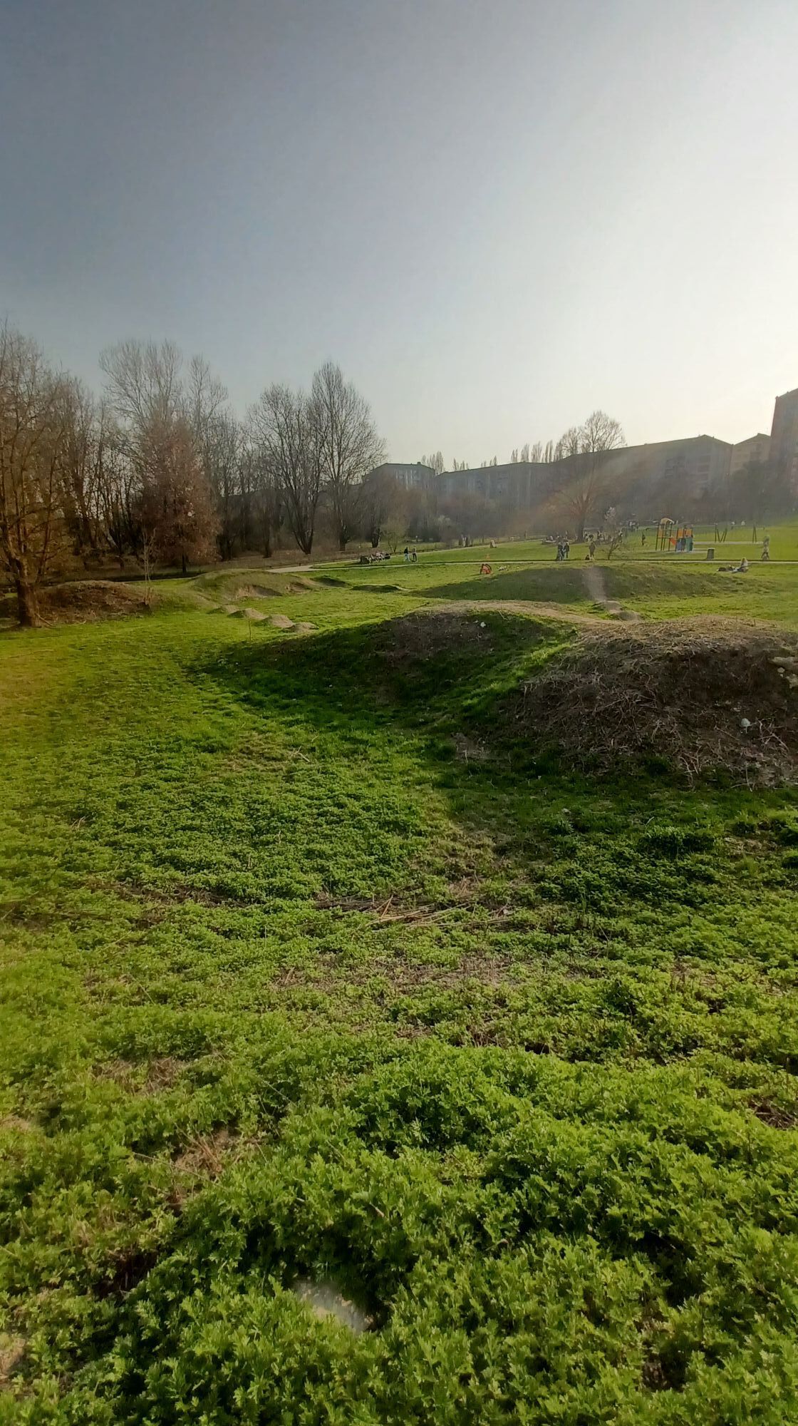
Le Vallere Park is a beautiful green area at the confluence of the Sangone and Po rivers, with a network of dirt cycle paths and meadows ideal for a picnic. Following the two watercourses, you reach the...
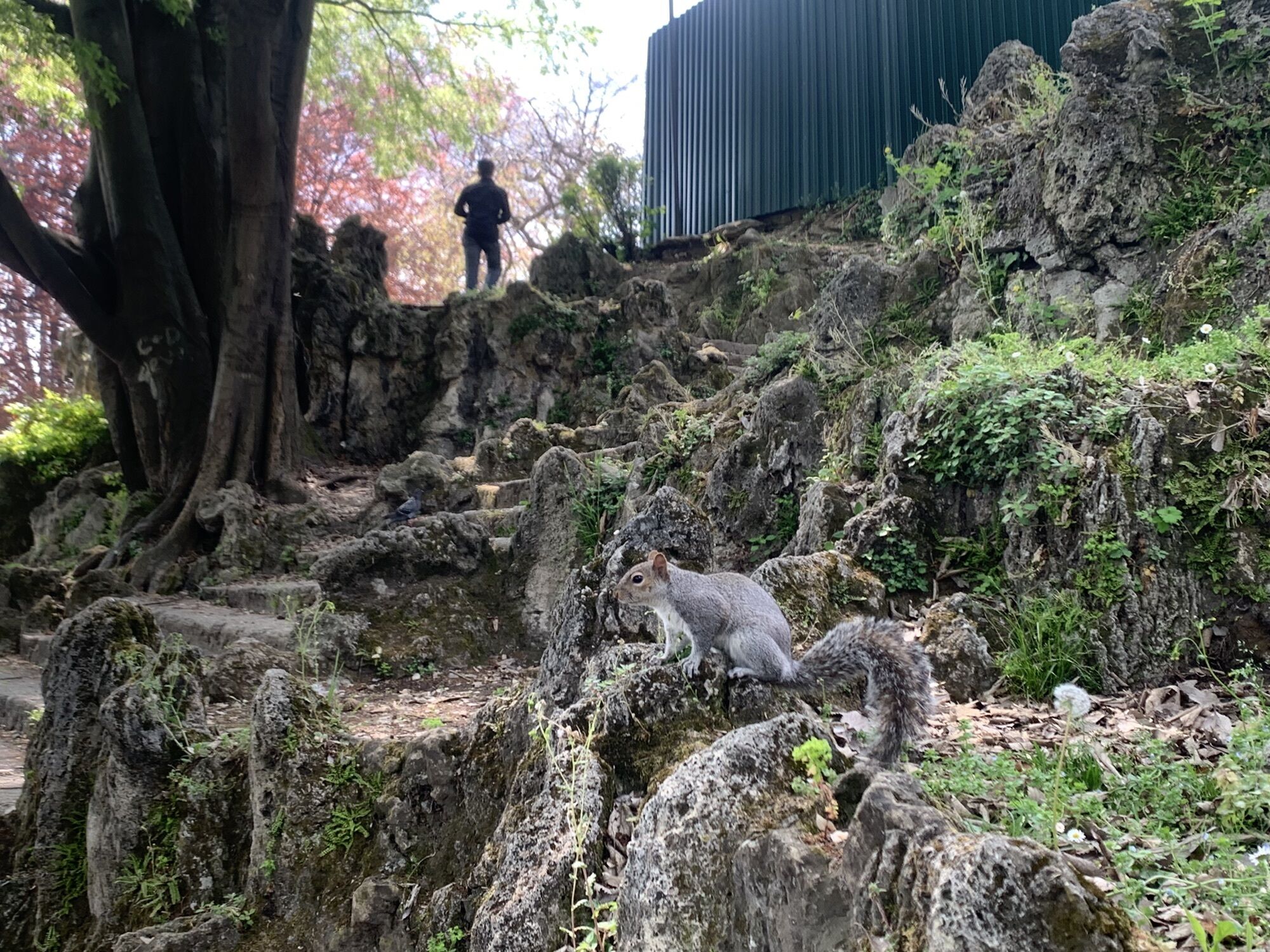
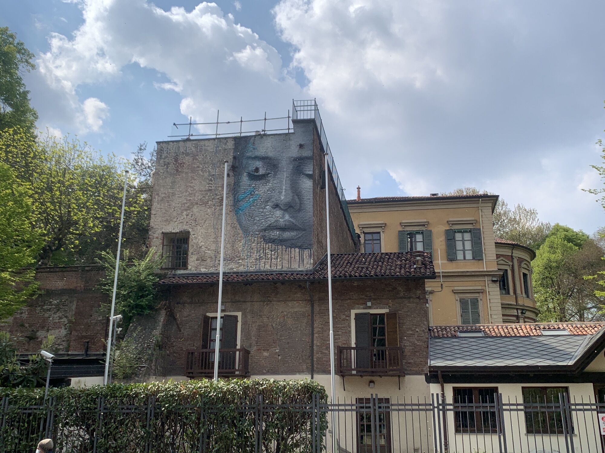
Le Vallere Park is a beautiful green area at the confluence of the Sangone and Po rivers, with a network of dirt cycle paths and meadows ideal for a picnic. Following the two watercourses, you reach the center of Turin on the right bank of the Po, crossing it on the Umberto I Bridge. Then you reach Piazza Vittorio Veneto by descending to the Murazzi. The return takes place inside Valentino Park, dotted with places of historical and natural interest: Valentino Castle, the Borgo and Medieval Fortress, the Promotrice delle Belle Arti, the Fountain of the 12 Months, the Botanical Garden and Rocky Garden, lover's street lamps, military submarines, some of the oldest rowing clubs in Italy.

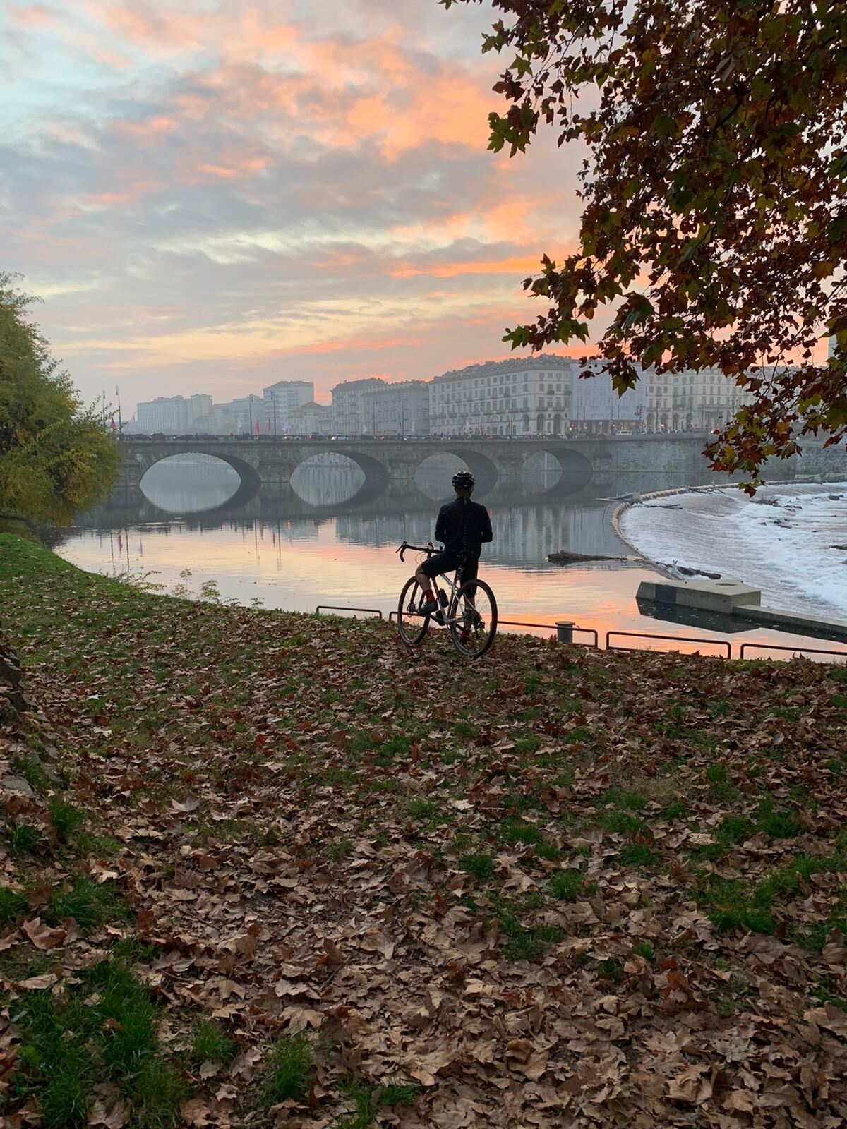
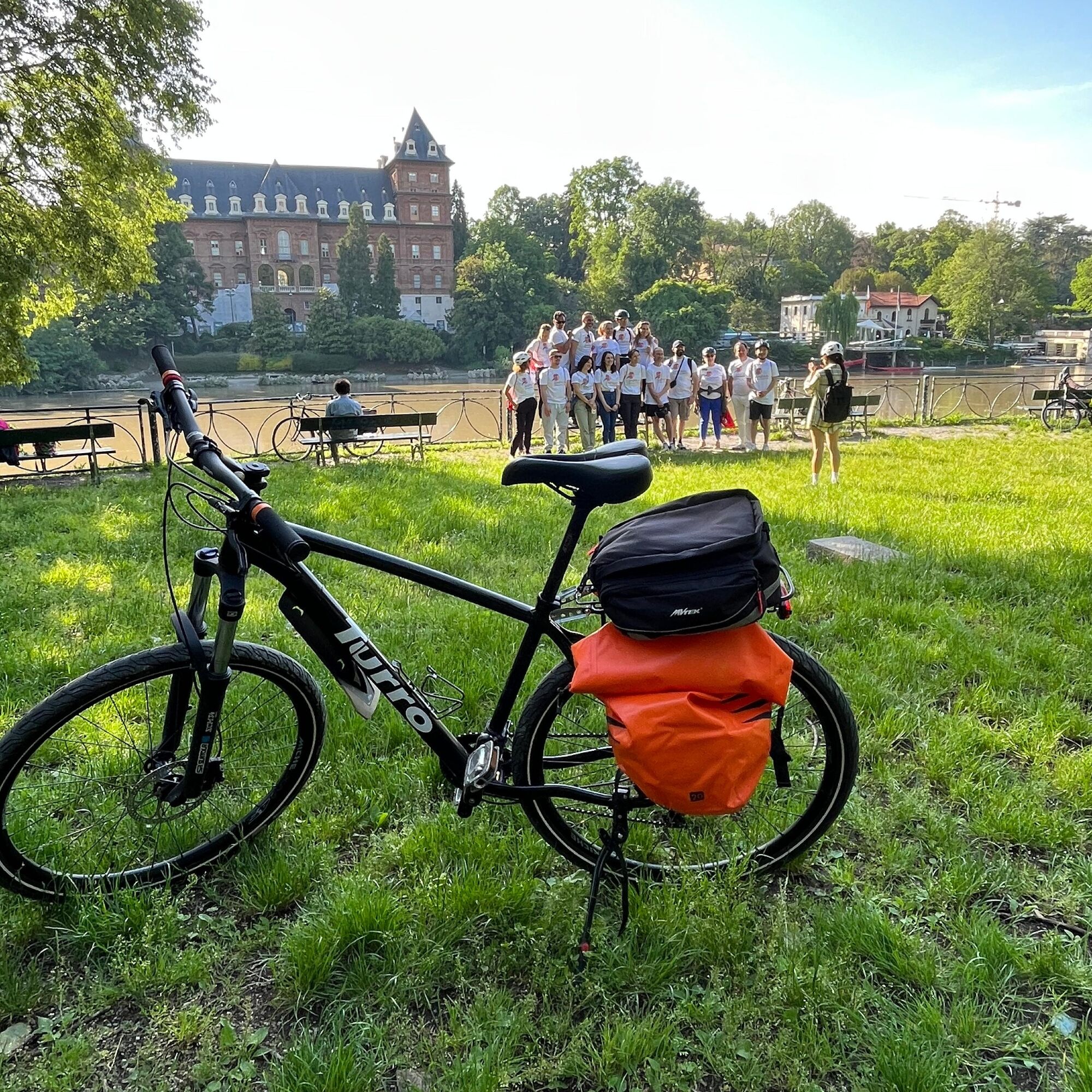
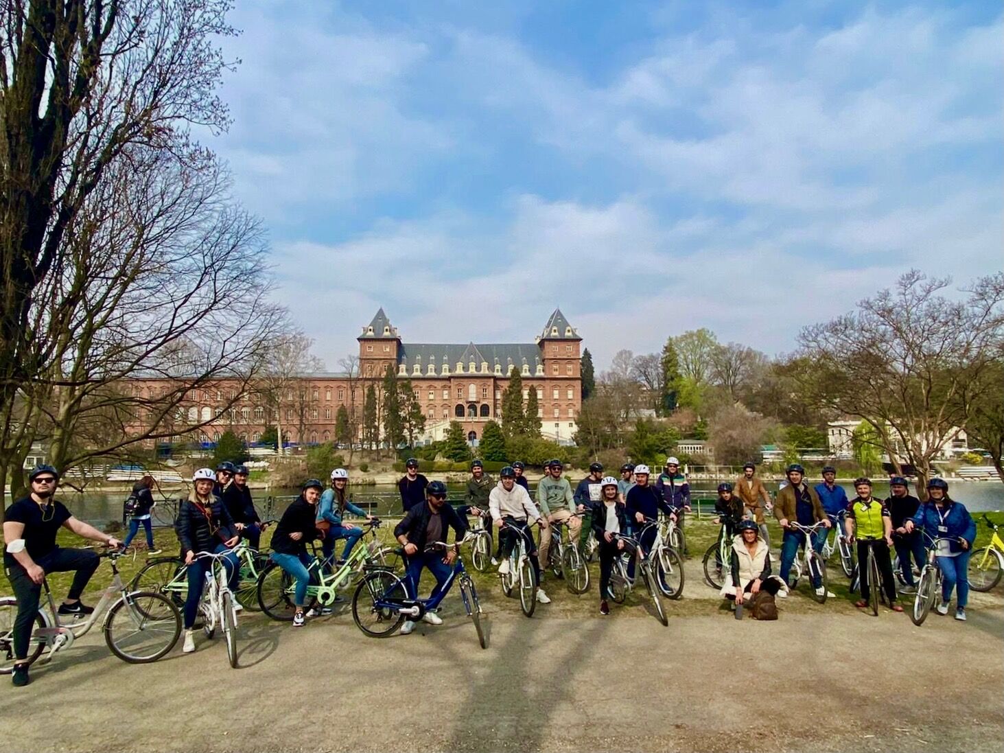
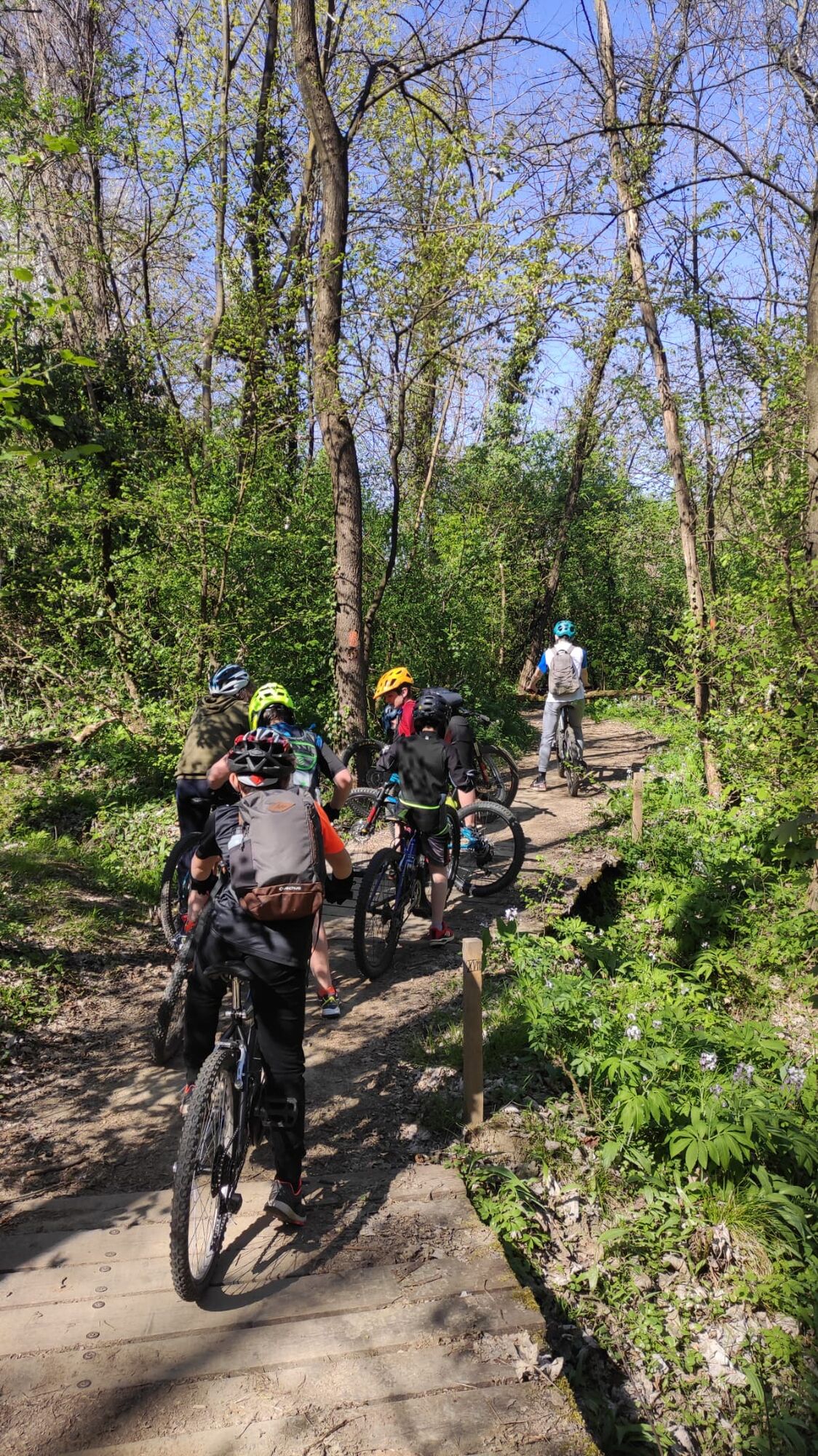
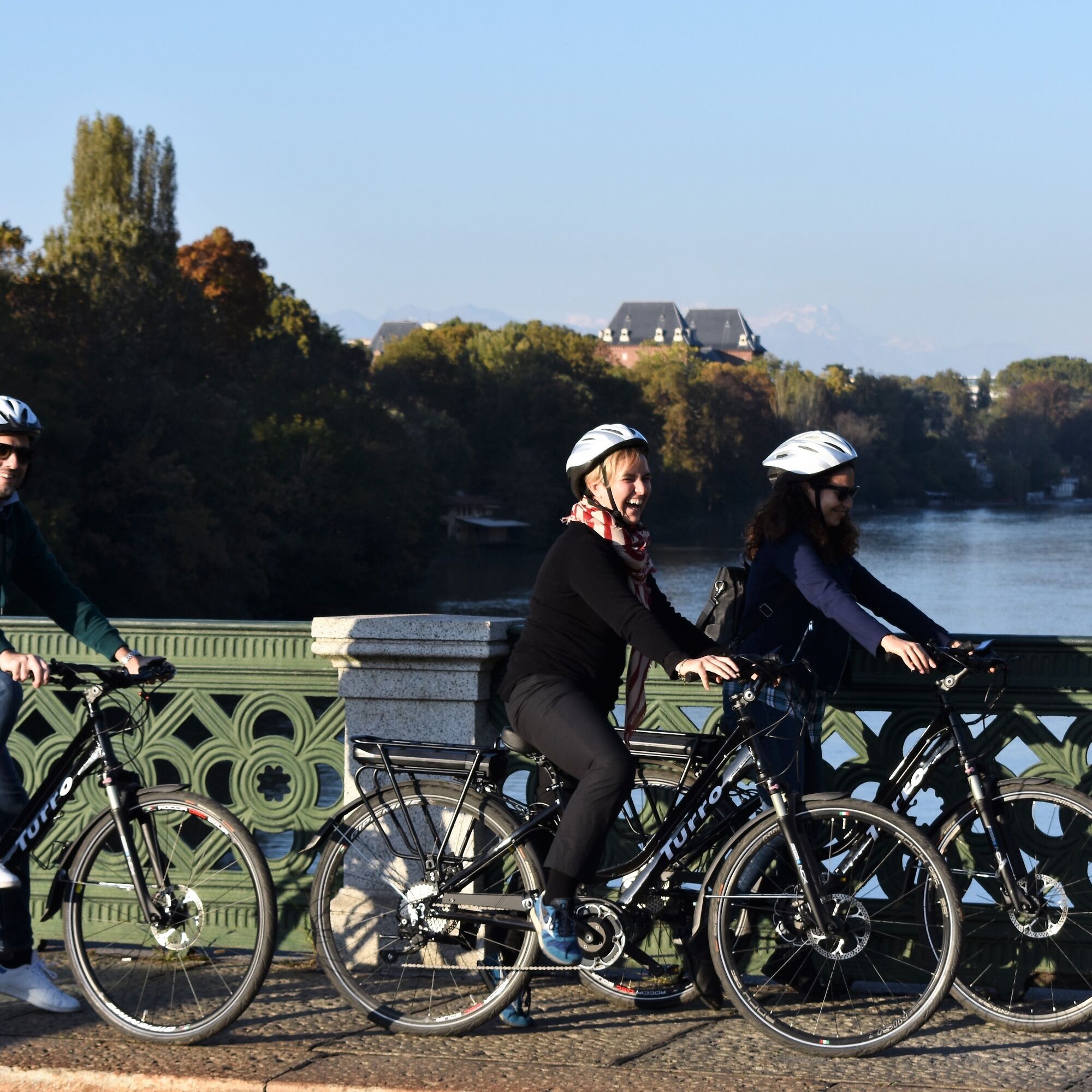

The route starts at the entrance of Le Vallere Park (Moncalieri - Corso Trieste, 98). Follow a loop in the park up to the pedestrian bridge at the confluence between the Sangone and Po rivers. Continue for about 1 KM, and re-cross the Po on the Turin Marathon pedestrian bridge. Immediately after the bridge, return towards the riverbank with a short dirt descent and follow the bank downstream. The cycle path, initially dirt, leaves the bank for a short paved section beside Corso Moncalieri, then returns to the bank before Ponte Balbis and stays there up to the Umberto I Bridge. Here it is recommended to cross either to ride along the Murazzi or on Corso Cairoli.
From Piazza Vittorio, retrace the Murazzi and ascend near the Umberto I Bridge. Then enter Valentino Park next to the Triumphal Arch and continue on Viale Virgilio (possible detour to see the main facade of Valentino Castle). Then reach the Borgo and the Medieval Fortress (free access to the Medieval Borgo with bike in hand). Continue south and pass by the Fountain of the 12 Months. Reach the Po riverbank again and continue inside the park until you see the Automobile Museum on the right side of Corso Unità d’Italia. Follow the fence of the United Nations Campus until crossing the bridge over the Sangone, a few meters downstream from its confluence with the Po.
Tak
Any type of bicycle
Pay attention to pedestrians, who crowd the park during weekends, and to the numerous runners.
From Piazza Castello, follow Via Po to the river
Many urban lines cross Piazza Vittorio Veneto
Paid underground parking at Piazza Vittorio Veneto or other parking in the city center. Free parking in the Palavela area, from which you can access the route by crossing a cycle-pedestrian footbridge.
1
Popularne wycieczki w okolicy
-
ANDEZENO - Panoramic loop towards Pino Torinese
średniJazda na rowerze 35,0 km -
TURIN - The tour of the Turin hillside on the "scenic road"
średniDroga rowerowa 36,7 km -
CHIERI - Ring in the surroundings
średniJazda na rowerze 24,4 km -
Cycling in the round, in the Stupinigi Nature Park
światłoKolarstwo długodystansowe 14,9 km -
CHIERI - Ring toward Pavarolo, Montaldo T.se and Andezeno
średniJazda na rowerze 32,9 km -
Cycling in the Nature of Stupinigi
Jazda na rowerze 6,73 km -
How to get to Stupinigi Nature Park
Wędrówka 2,22 km -
Reach Sensimmersion - Inside the Park
ciężkiJazda na rowerze 5,98 km -
TURIN - Double loop with 3 adrenaline-pumping MTB descents
ciężkiMountainbike 25,9 km -
Esplorazione Urbana - Parco Dora
światłoWędrówka 3,53 km
Wędrówki i tropienie


Nie przegap ofert i inspiracji na następne wakacje
Twój adres e-mail została dodana do listy mailingowej.





