


TURIN - Double loop with 3 adrenaline-pumping MTB descents
Poziom trudności: S2
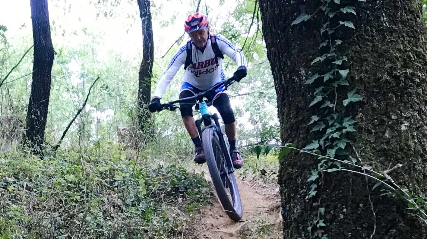
On the slopes of Superga, the itinerary combines the single-track descents of Calcetano, Fairy Woods (600) and Trail 29. These are 3 of the most popular trails among Turin mountain bikers, with difficulties...
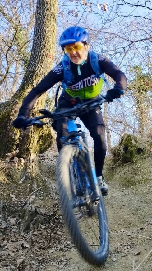
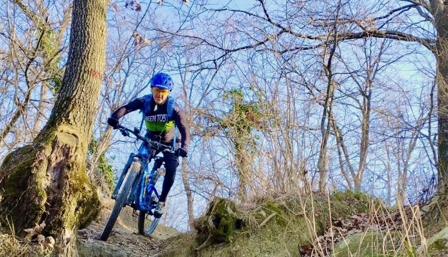
On the slopes of Superga, the itinerary combines the single-track descents of Calcetano, Fairy Woods (600) and Trail 29. These are 3 of the most popular trails among Turin mountain bikers, with difficulties that reach S2 grade and are no match for alpine single-track. The first descent is perhaps the most technical, and in wet terrain the riding becomes even more challenging. The second descent has hairpin bends in succession and a few raises, before the final toboggan. You briefly retrace trail 26, before the final nosedive to the Po River along the flowing trail 29, which has a few jumps (avoidable with chicken line). *avoid rainy periods.

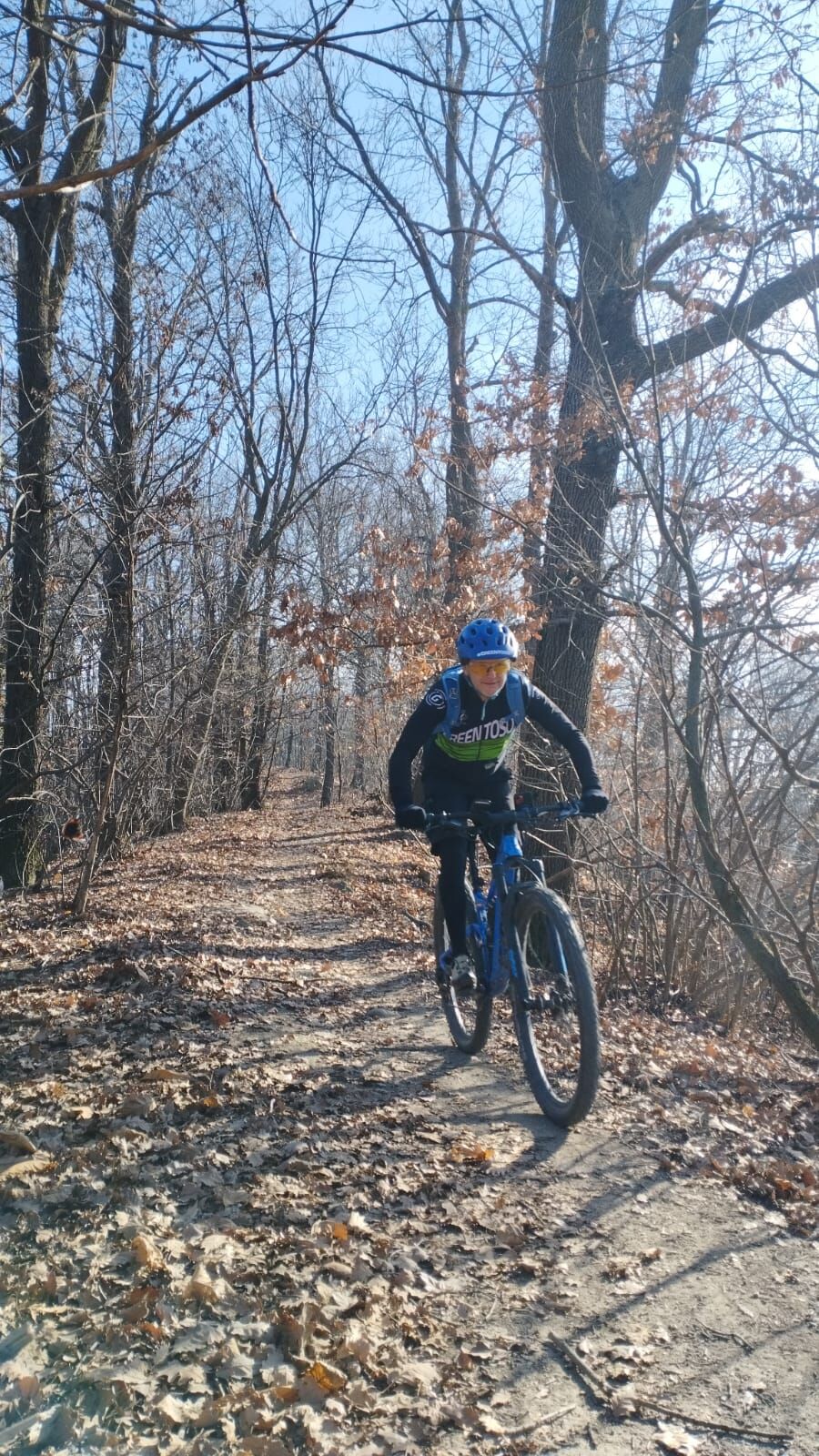
Start from Sassi and after an approach on Cartman's road, climb from Beria Grande and trail 26. Near Bric del Duca you briefly reach Viadei Colli (scenic road) and take the Calcetano, near a lay-by with a fountain (toret). Ascend from Rivodora to the top of the hill, cross the road near Mount Aman and take a dirt road that becomes singletrack (trail 600). When you reach the bottom of the valley,after a small ford) take the asphalt road again to Beria Grande and then climb back up on 26 to Pian Gambino. Cross the Sassi-Superga road and take path 29 that leads to Via Torino , between Torino and San Mauro. Cross the road and descend along the river, into the Meisino Park and on the plain back to the starting point.
Tak
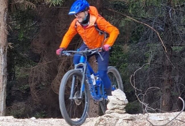
Full or front MTB suitable for freeride descents
Equip yourself with protection for gravity disciplines. Avoid rainy periods. Possible branches or trail trees after heavy storms or strong winds.
The starting point can be reached from downtown Turin by bicycling along the riverfront of Viale Michelotti on a protected route
GTT city transportation stop ID: 590 - Lines 15 - 61- 68
Bicycle transportation is not allowed.
Convenient parking next to the Sassi cemetery
S2
Assess the condition of the trails
Popularne wycieczki w okolicy
-
MONCALIERI - Biking on the water: Le Vallere and Valentino Park
światłoJazda na rowerze 17,0 km -
ANDEZENO - Panoramic loop towards Pino Torinese
średniJazda na rowerze 35,0 km -
CAMBIAN toward Riva presso Chieri
światłoJazda na rowerze 22,8 km -
CHIERI - Among vineyards, hills and history toward the Abbey of Vezzolano.
średniDroga rowerowa 58,6 km -
CHIERI - Ring in the surroundings
średniJazda na rowerze 24,4 km -
TURIN - The tour of the Turin hillside on the "scenic road"
średniDroga rowerowa 36,7 km -
Gran Gravel Tour in the Oltre Collina Torinese in 4 stages
ciężkiKolarstwo długodystansowe 228,0 km -
CHIERI - Ring toward Pavarolo, Montaldo T.se and Andezeno
średniJazda na rowerze 32,9 km -
CASALBORGONE - Bosc Grand and Bosco del Vaj by MTB
średniMountainbike 22,6 km -
Reach Sensimmersion - Inside the Park
ciężkiJazda na rowerze 5,98 km
Wędrówki i tropienie


Nie przegap ofert i inspiracji na następne wakacje
Twój adres e-mail została dodana do listy mailingowej.