


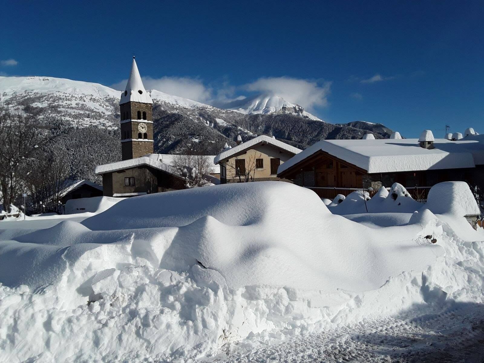
OULX - Chateau Beaulard - Refuge Guido Rey

The route starts upstream from the village of Chateau Beaulard and enters the forest until it reaches the San Domenico Chapel and the Sant'Anna Chapel and then the Guido Rey Refuge, where the view opens...
The route starts upstream from the village of Chateau Beaulard and enters the forest until it reaches the San Domenico Chapel and the Sant'Anna Chapel and then the Guido Rey Refuge, where the view opens up and there is a beautiful panorama of the surrounding mountains and the valley below.
Depending on snow conditions some rather steep sections of the trail may make the hike more or less challenging.
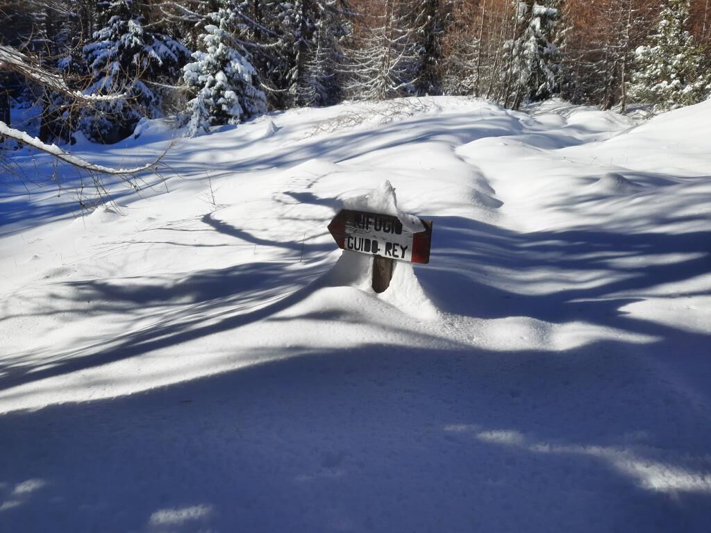
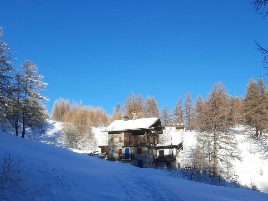
From the dirt yards upstream of Chateau Beaulard, take trail No. 702a a little further on the right with the signs Rifugio Guido Rey - Passo dell'Orso - Bivacco Blanchetti. Cross the meadows above the hamlet and enter the forest passing by the chapels of San Domenico and Sant'Anna. When you reach the gorge of the Rio Champeyron, cross it on the wooden footbridge and continue on the other side until you meet the dirt road. After a short flat section continue along the path until it finally joins the road, which turns right and leads in a short time to the Guido Rey Refuge.
Clothing and footwear appropriate for the winter mountain environment.
Snowshoes - poles - ARVA - Shovel - Probe (hiking in snowy environments requires the use of electronic signaling and search systems as required by Legislative Decree No. 40/2021 Article 26)
Before embarking on any hike, it is recommended to:
- inquire at tourist offices or mountain guides
- consult ARPA Piemonte weather and avalanche bulletins at www.arpa.piemonte.it/bollettini
In case of marked avalanche danger it is not recommended to undertake any hike.
The indicated trails are beaten only by the passage of people on foot: no mechanical, daily or periodic maintenance and beating service is provided.
By car, head toward Chateau Beaulard; just before the hamlet, take the road to the right that passes out of the village and park in the yards after the hairpin bend.
Upstream of the township are dirt yards.
Bring water with you; there are no water fountains along the route.
Enjoy a typical dish or relax in the sun on the terrace of the Guido Rey Refuge
Popularne wycieczki w okolicy
-
4,5
BARDONECCHIA Pian del Colle - Valle Stretta
średniRakieta do chodzenia po śniegu 5,02 km -
5,0
BARDONECCHIA Colle Sommeiller
średniMountainbike 25,4 km -
5,0
BARDONECCHIA Forte Jafferau Loop
ciężkiMountainbike 36,8 km -
5,0
BARDONECCHIA Green Lake
światłoWędrówka 2,14 km -
4,5
BARDONECCHIA Walter Bonatti Path - Grange della Rho
średniWędrówka 6,06 km -
5,0
BARDONECCHIA Decauville
średniWędrówka 7,29 km -
5,0
BARDONECCHIA Col des Acles - Passo della Mulattiera
średniWędrówka 6,23 km -
BARDONECCHIA Lago Verde
światłoMountainbike 10,7 km -
BARDONECCHIA - Loop Colle della Scala - Col de Montgenèvre - Colle del Sestriere
ciężkiDroga rowerowa 91,9 km -
5,0
SESTRIERE Monte Rognosa
ciężkiWędrówka 6,42 km
Wędrówki i tropienie


Nie przegap ofert i inspiracji na następne wakacje
Twój adres e-mail została dodana do listy mailingowej.