







Susa - Moncenisio
Poziom trudności: 2
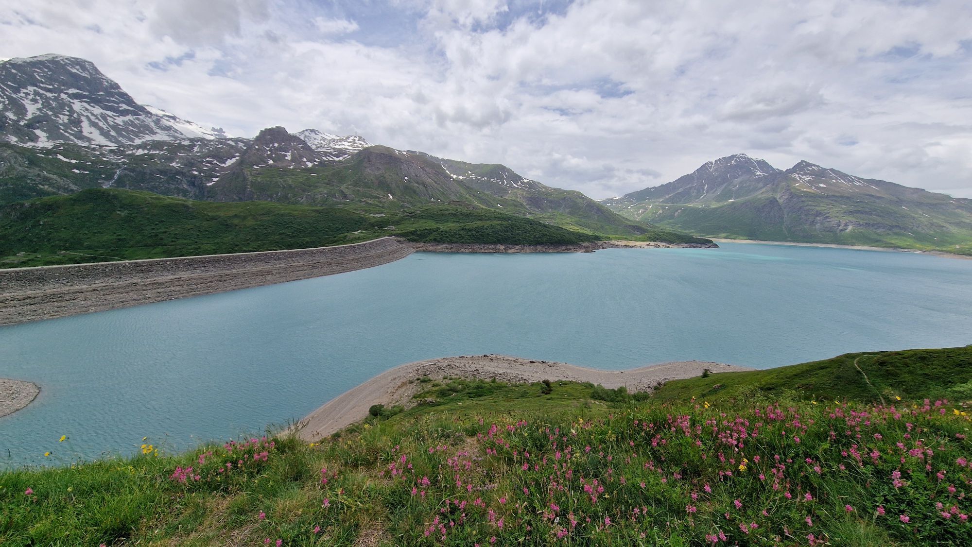
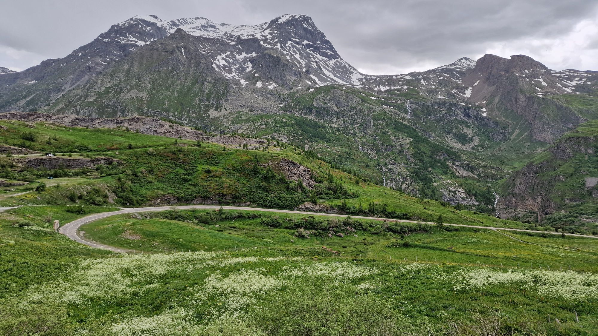
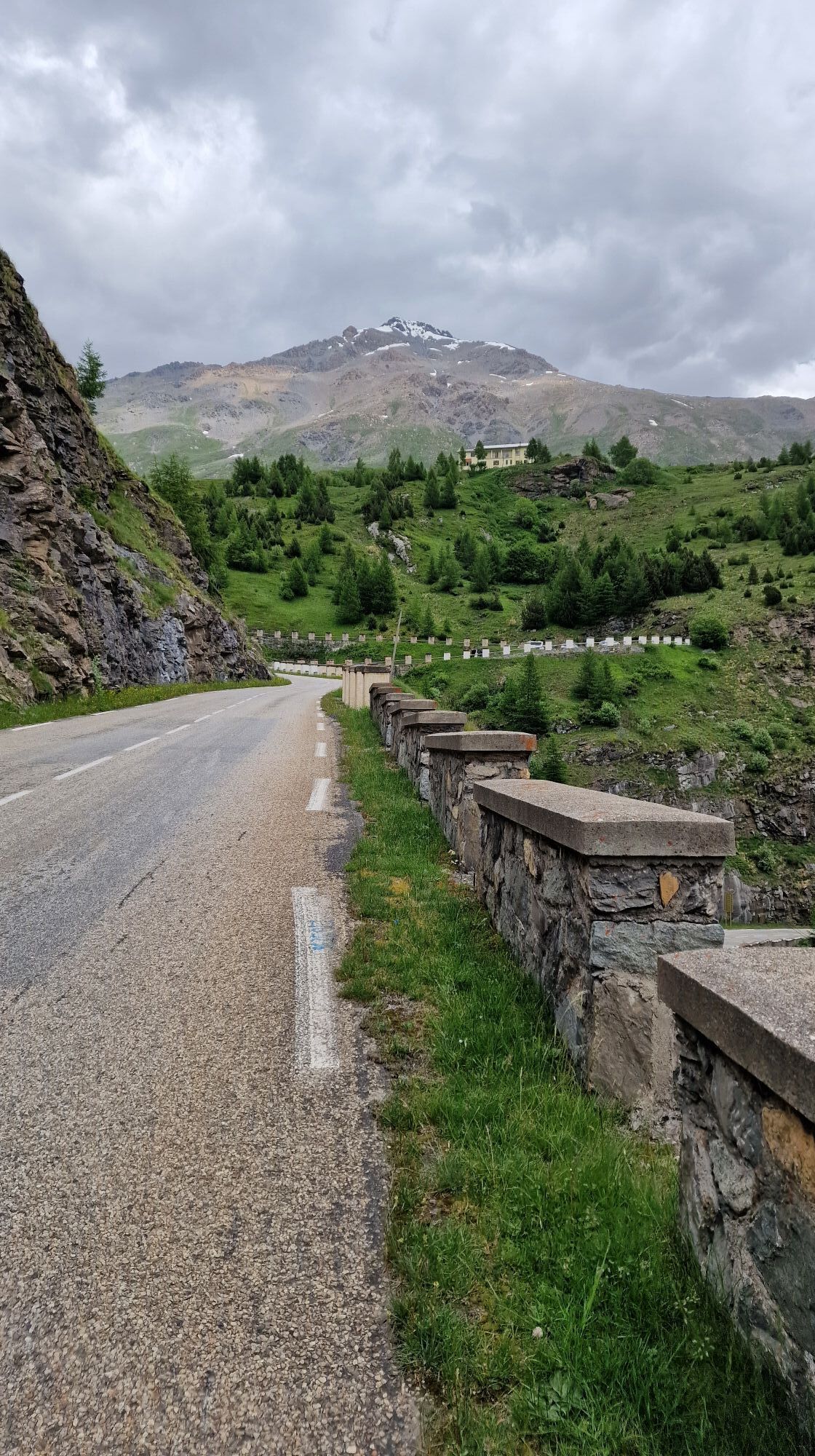
Starting from Susa, leaving the town center towards Val Cenischia: after a short descent a long undulating straight between Venaus and Novalesa begins the challenging climb. The landscape is remarkable,...
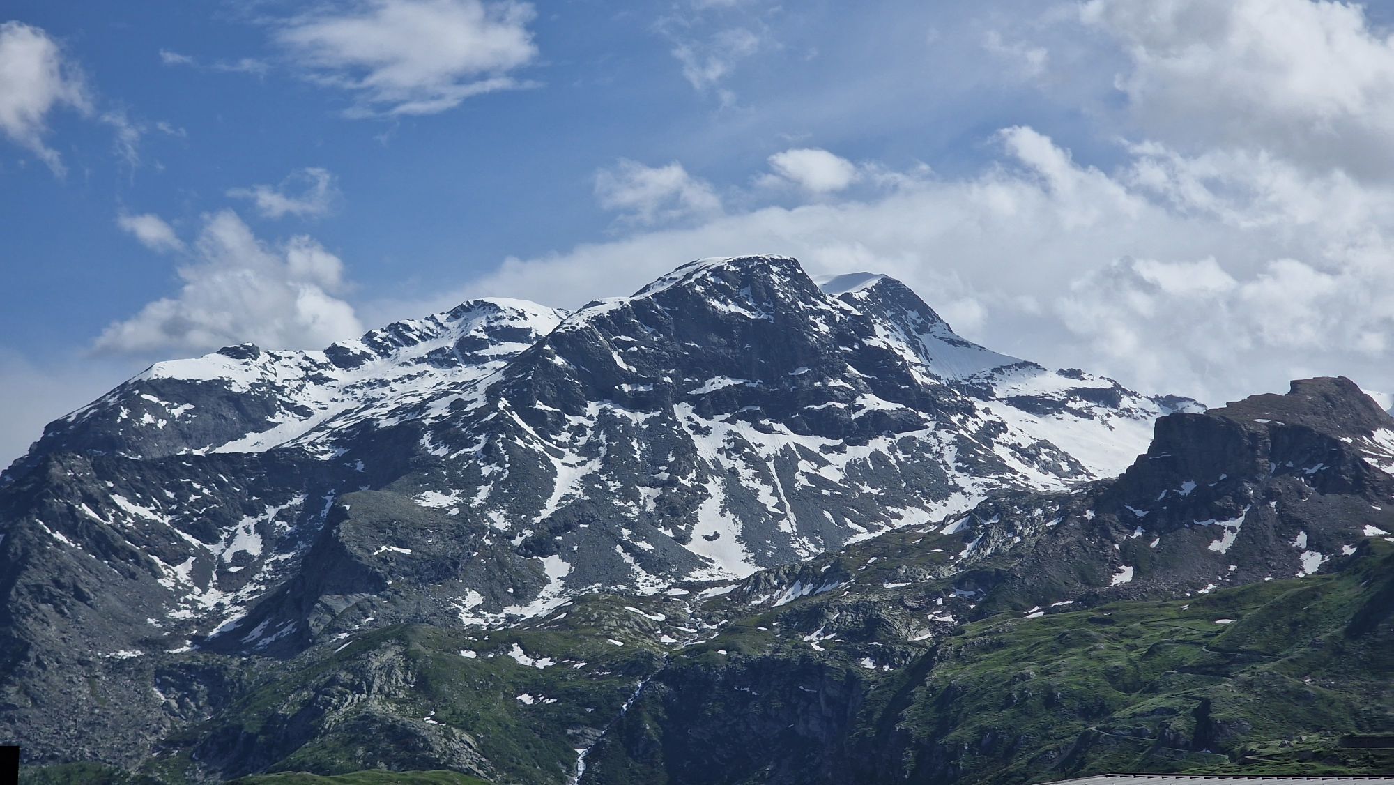
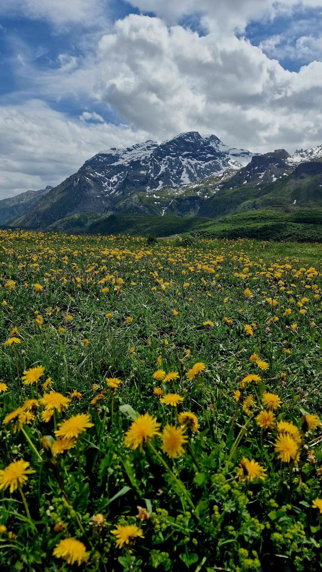
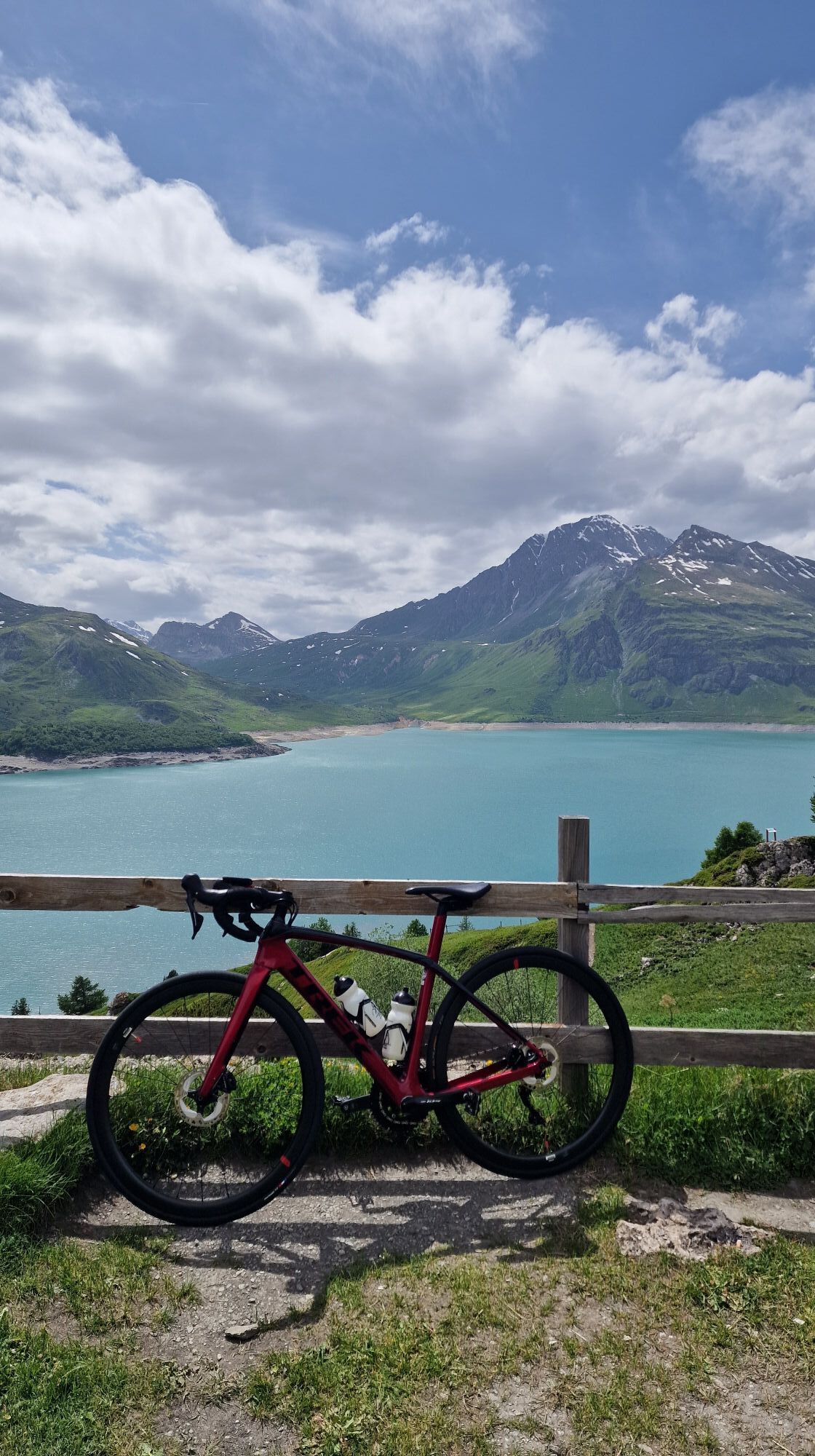
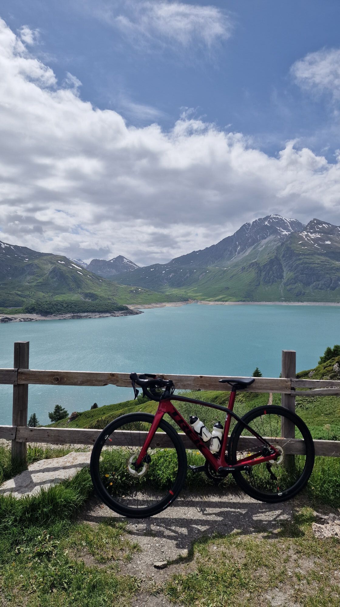
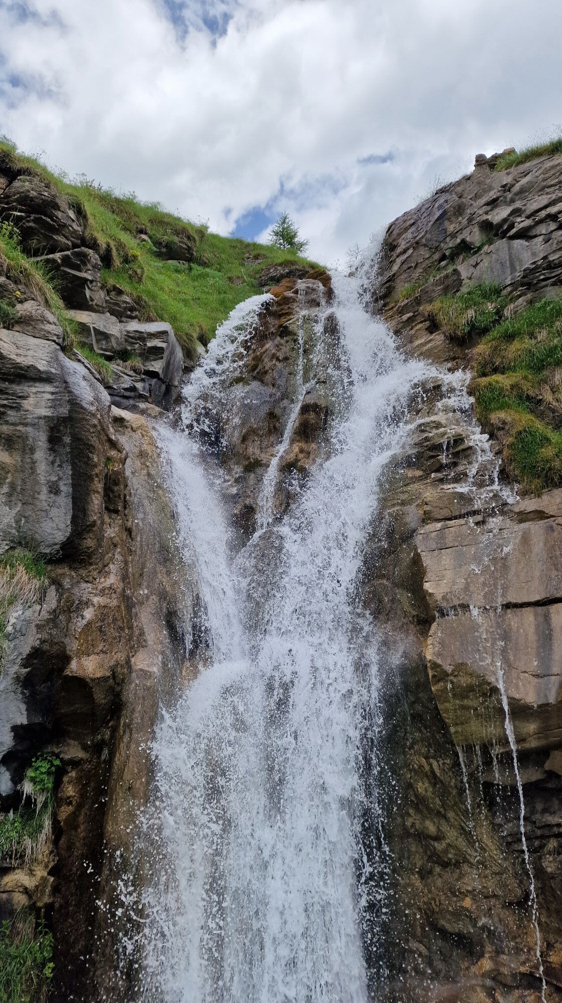
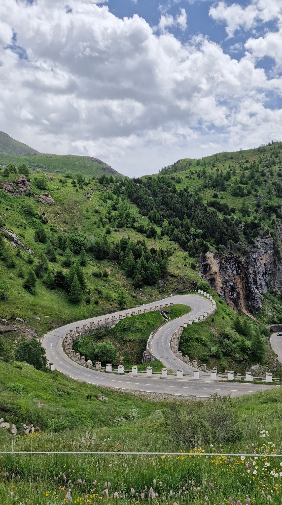
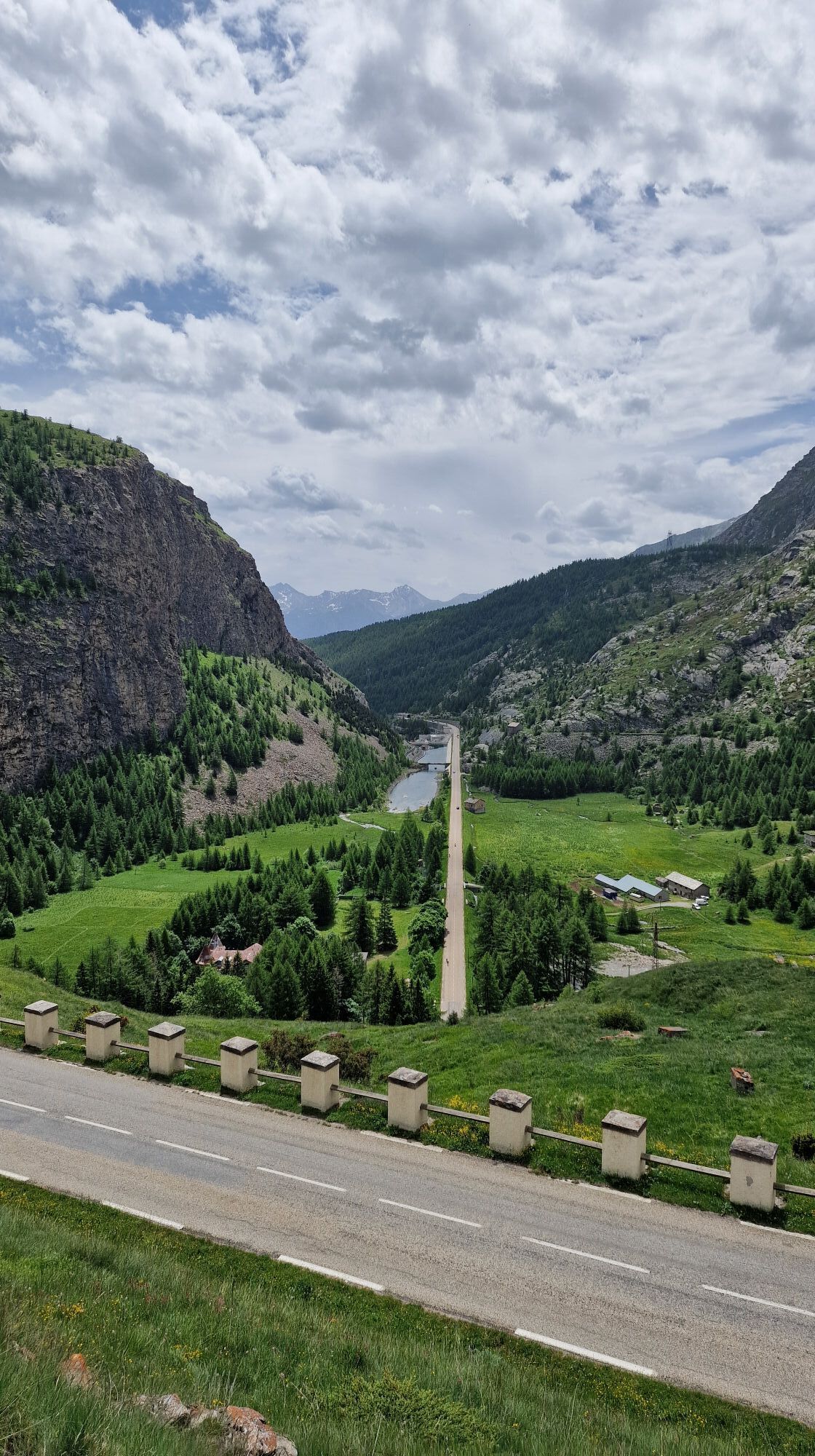
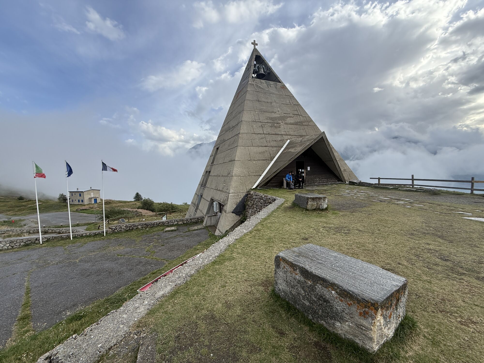
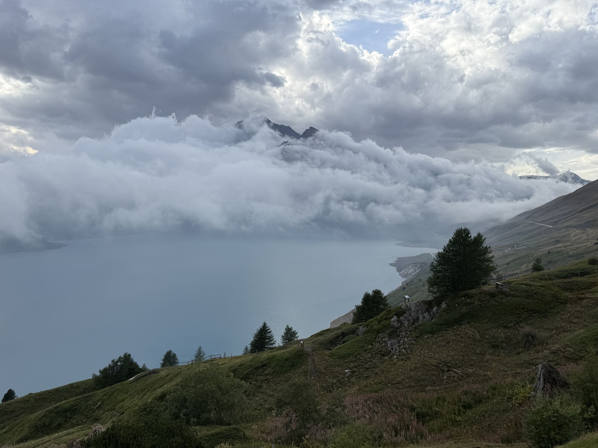
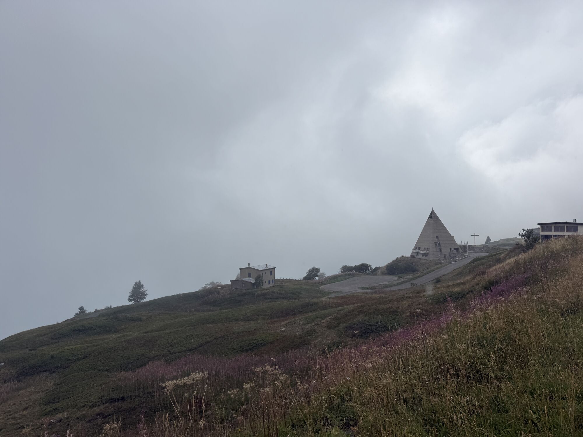
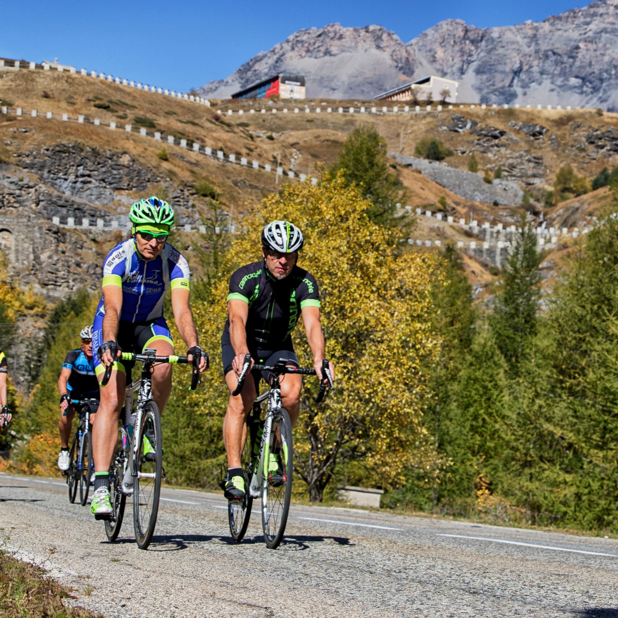
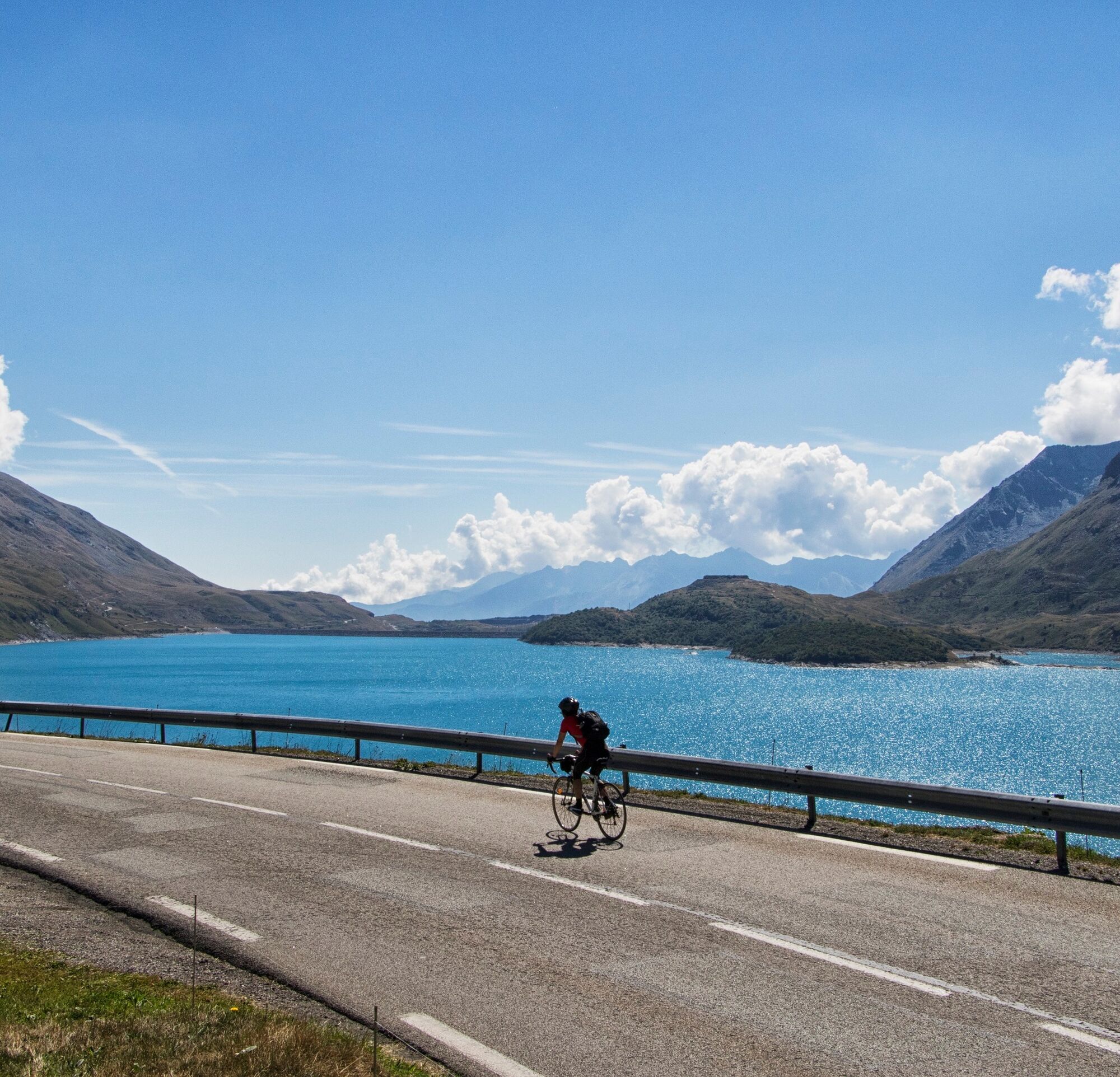
Starting from Susa, leaving the town center towards Val Cenischia: after a short descent a long undulating straight between Venaus and Novalesa begins the challenging climb. The landscape is remarkable, at the foot of Rocciamelone with the mountains and waterfalls surrounding the route. Passing through Venaus and Novalesa, historical places of passage and rest since the Middle Ages, you can breathe the air of ancient history between the secular abbey of Novalesa, the old inns, and the treasures collected in the parish churches. The climb from Novalesa cuts through a forest of ash and birch trees, with wild service trees coloring the autumn for about 7 km. It is worth stopping in the characteristic Moncenisio and admiring the surrounding mountains and the water mirror of Lago Grande. From here the road continues for a few kilometers until the intersection with SS24 near a royal Napoleonic shelter, once inhabited by those employed for road maintenance both in winter and good weather. The steady climb towards Bar Cenisio leads to a flat straight at the Piana di San Nicolao. On the horizon stand the wide hairpins of the Gran Scala that climb up to the base of the dam of Lago Moncenisio. You are already officially in France and from there, following the asphalt road, you reach the rest area near the Pyramid, the characteristic little church that dominates from above Lake Moncenisio nestled in a spectacular mountain setting.

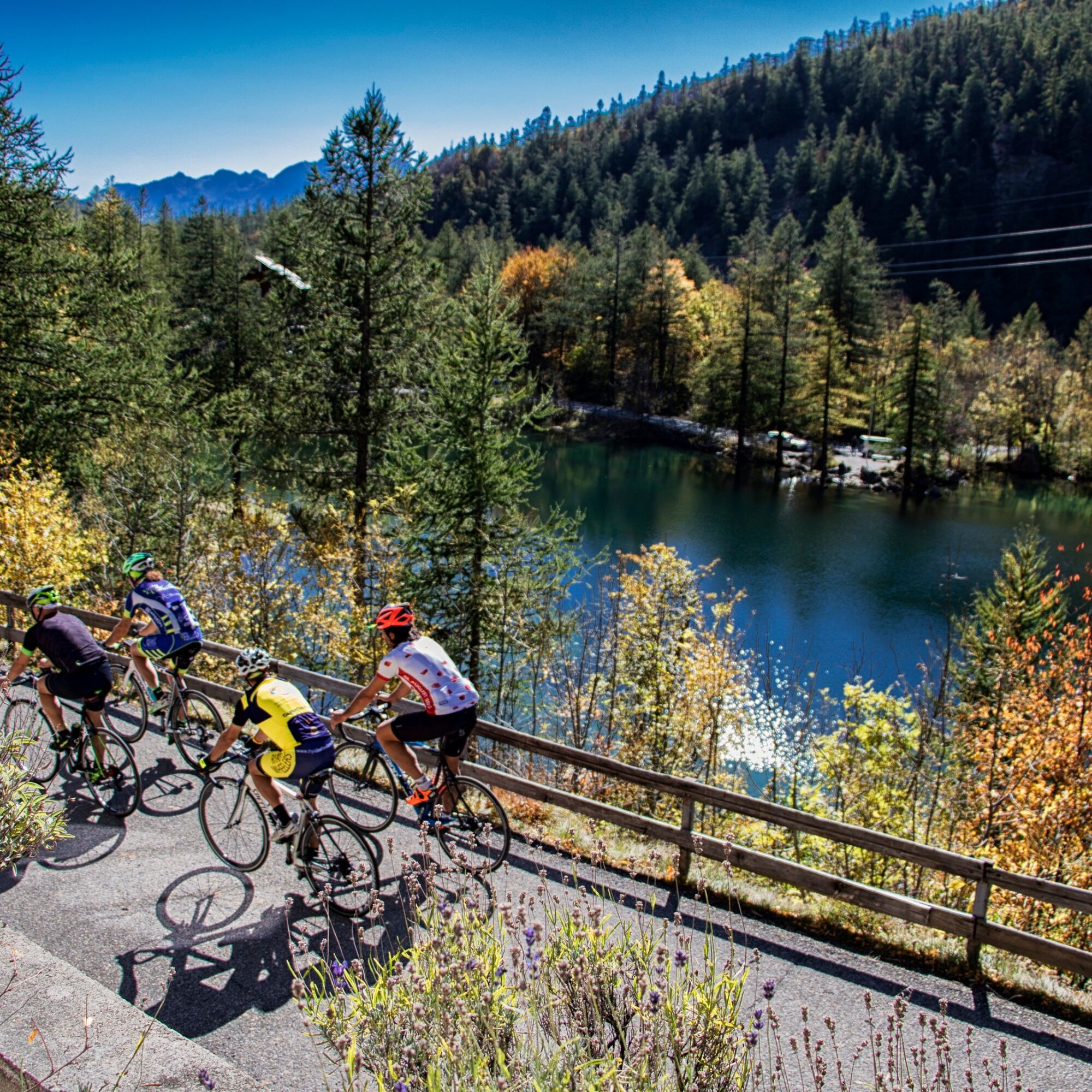
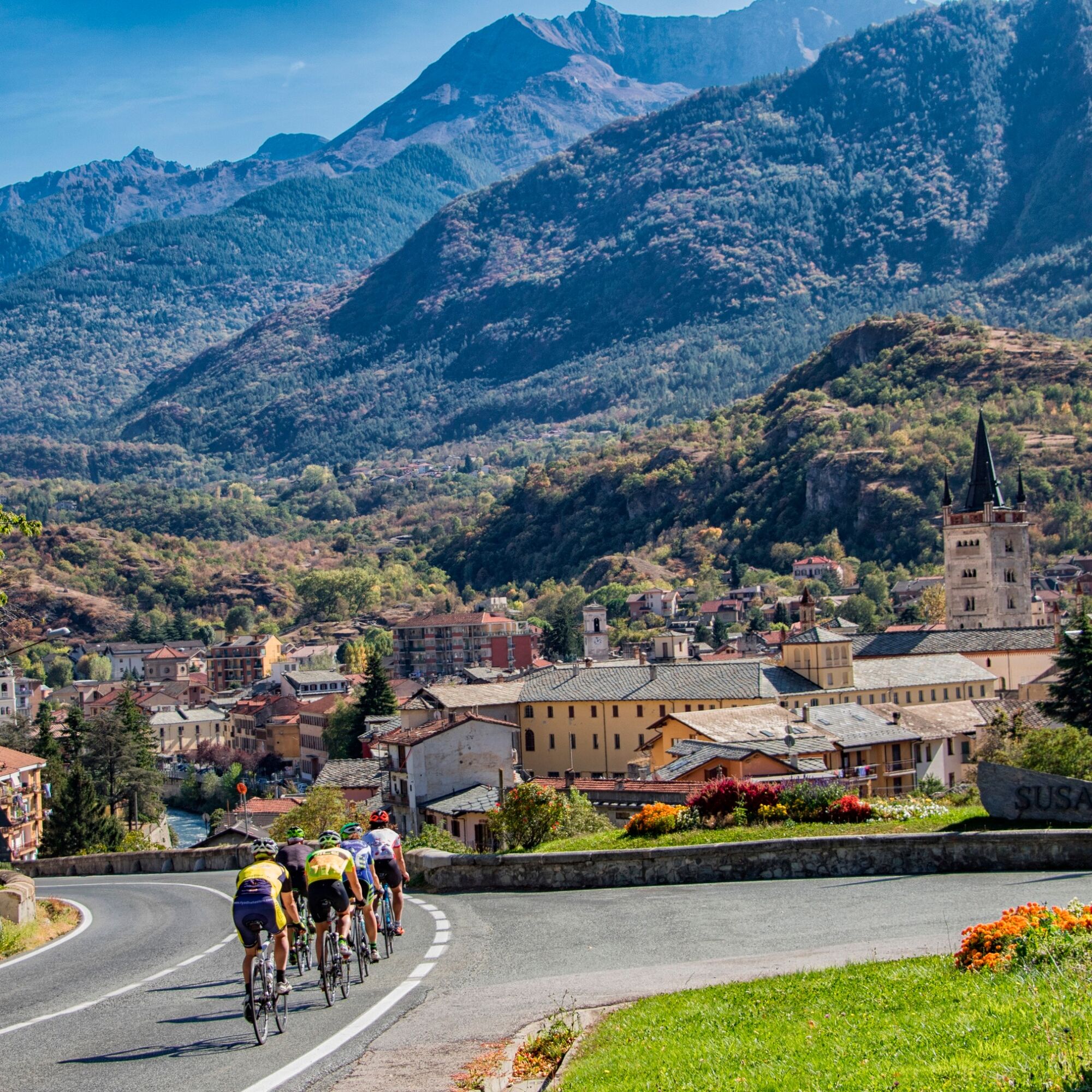

You reach 2000 meters of altitude, it is advisable to have adequate thermal coverage, considering the easy variability of the weather at high altitude.
A32 motorway Susa East exit to reach the town center
Train: Susa railway station
Torino - Bardonecchia sfm line
Susa railway station
Free and paid parking in Piazza della Repubblica in Susa and at the railway station
2
Return on the same route or following the SS25 back to Susa, paying attention to heavy traffic on summer weekend days.
Uzyskaj wgląd
Zawsze na żywo z ponad 9 500 kamer internetowych. bergfex Jako użytkownik Pro, możesz teraz zobaczyć odpowiednie kamery internetowe dla wielu wycieczek w aplikacji wycieczki od. Pozwala to na bezpośredni podgląd aktualnych warunków.
Popularne wycieczki w okolicy
-
4,5
Rocciamelone partedjo dalla Riposa. Mompantero, Piemont/Italien
średniWędrówka 10,6 km -
4,5
Hiking at Lake Clair
ciężkiWędrówka 6,99 km -
little 'Haute-Maurienne Vanoise' circuit
ciężkiDroga rowerowa 32,0 km -
USSEGLIO Lake Nero from Lake Malciaussia
światłoWędrówka 4,79 km -
4,7
High Way of the Lanzo Valleys | Stage 6 Tazzetti Refuge - Lake of Malciaussia
średniWędrówka 5,49 km -
USSEGLIO Lake behind the Tower and of the Rossa
ciężkiWędrówka 17,1 km -
Col de l'Iseran from Modane
ciężkiDroga rowerowa 59,5 km -
SUSA From Susa to Rocciamelone
ciężkiWędrówka 13,7 km -
Hike from the Avérole refuge through the hamlet
średniWędrówka 9,36 km -
USSEGLIO Margone - Malciaussia loop via Lake Falin and the tracciolino
średniWędrówka 13,1 km
Wędrówki i tropienie


Nie przegap ofert i inspiracji na następne wakacje
Twój adres e-mail została dodana do listy mailingowej.





