


Monviso Park | Along the Po guided by geese
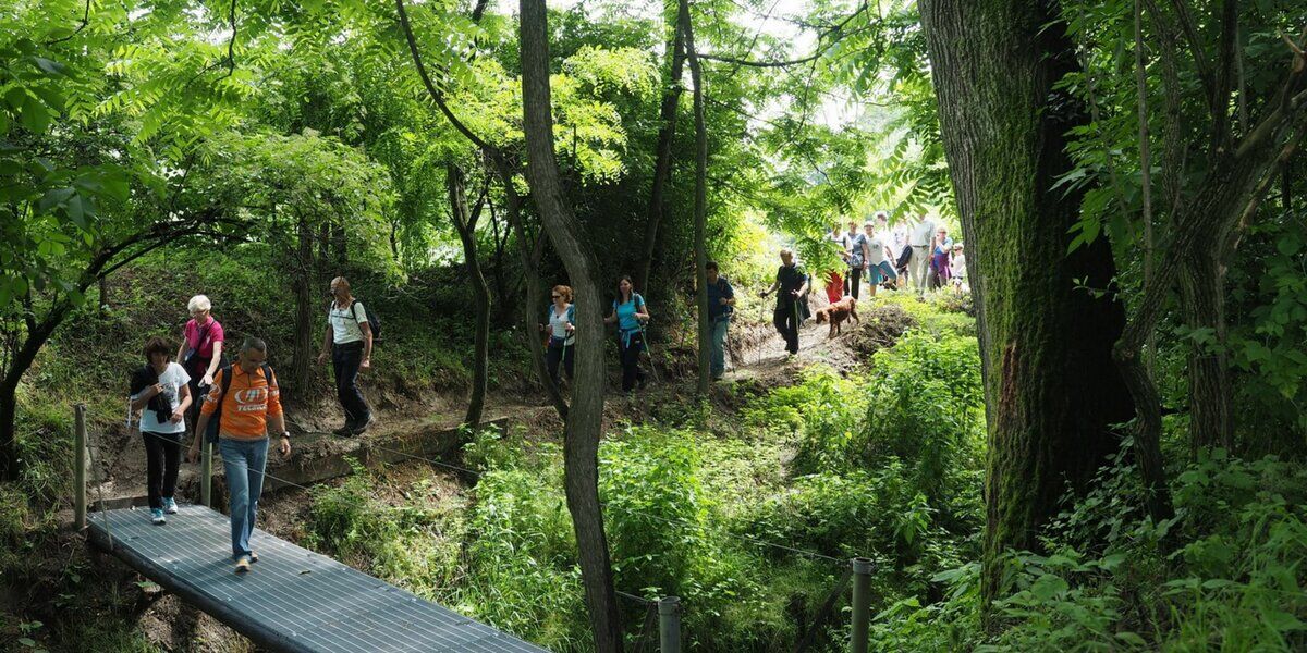
The Ochette Trail is a 14-kilometer route, enhanced by the Wings Trail, a series of panels documenting the more than 100 species of birds that nest in the river area, we then wander through the forest...
www.parcomonviso.eu

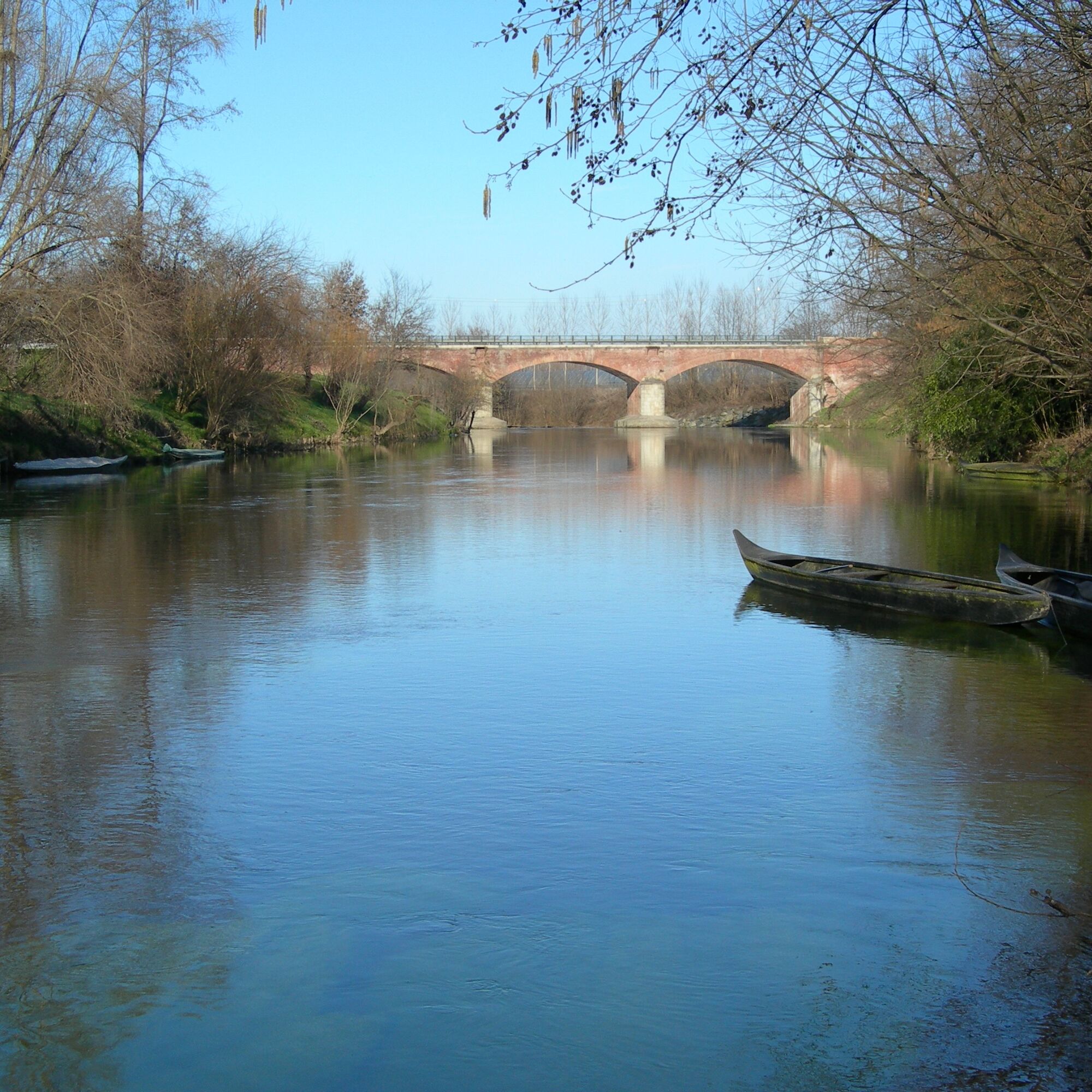
After crossing the Po River on the bridge, the trail resumes on the left bank of the river to return toward the town of Villafranca.
The trail is passable on foot or by bicycle.
Tak
By bus: regular services from Turin and major nearby cities.
- Parish church of Santa Maria Maddalena: Baroque church with fine interior decorations and characteristic Romanesque bell tower.
- Casaforte di Marchierù: historic mansion whose origins date back to at least 1220.
- Roman bridge and the alleys of the historic center.
Cardè:
-Castlebuilt in the 13th century, an outpost of the Marquisate of Saluzzo. Partially destroyed in 1552 by French troops, it retains only a few elements of the past.
- Parish church of Santa Caterina, in the immediate vicinity of the castle.
- Chapel of San Rocco and 19th-century shrine dedicated to Our Lady of Salesea surrounded by green countryside
Popularne wycieczki w okolicy
BRICHERASIO The Via della Pietra
światłoKolarstwo długodystansowe 11,5 kmCAVOUR Ancient trees
światłoKolarstwo długodystansowe 29,6 kmStage 2 from Cavour to Pinerolo - Le Strade dei Forti
ciężkiTrasa pielgrzymki 19,7 kmGrand Tour UNESCO Arco 4 | From Racconigi to Avigliana
ciężkiKolarstwo długodystansowe 134,5 kmLe Strade dei Forti - stage 1 from Villafranca Piemonte to Cavour
ciężkiTrasa pielgrzymki 22,9 kmLe Strade dei Forti - stage 1 from Villafranca Piemonte to Pinerolo
światłoMountainbike 43,6 kmFrom Lusernetta to Villafranca
światłoMountainbike 56,4 kmRING_CYCLOTHURISTIC_TORINO_SOUTH - Day 2 - from Pinerolo to Carignano
światłoKolarstwo długodystansowe 41,7 kmOchette Path Excursion - Villafranca Piemonte
światłoWędrówka 12,5 kmCAT Cycling Around Torino - tappa 7
światłoKolarstwo długodystansowe 41,4 km

Wędrówki i tropienie


Nie przegap ofert i inspiracji na następne wakacje
Twój adres e-mail została dodana do listy mailingowej.