


Le Strade dei Forti - stage 1 from Villafranca Piemonte to Cavour
Poziom trudności: T1
This stage could be considered of difficulty level T (= Tourist) were it not for the length. It is a flat stage with a low elevation gain that retraces part of the Sentiero delle Ochette, immersed in typical...
This stage could be considered of difficulty level T (= Tourist) were it not for the length. It is a flat stage with a low elevation gain that retraces part of the Sentiero delle Ochette, immersed in typical riparian vegetation, rich and intensely inhabited by various animal species. Among the various species that find shelter here it is not difficult to observe the mallard.
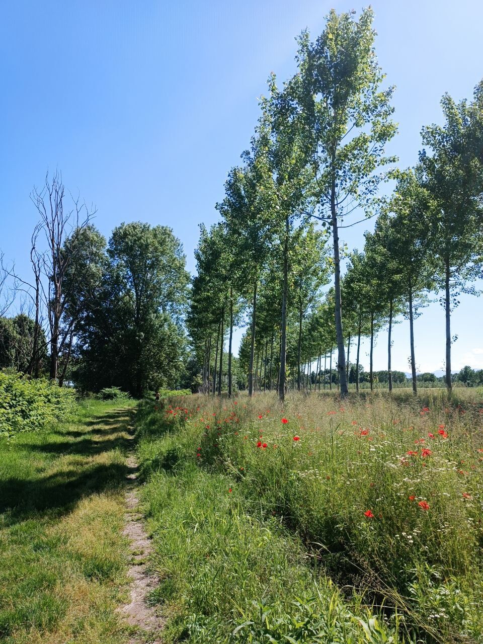
Very evocative, depending on the season, are the stretches of wheat fields, vineyards, and apple orchards typical of the area.
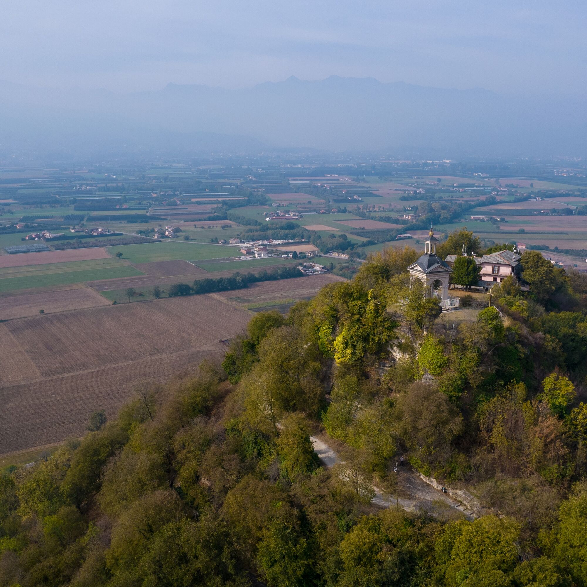
There is also the possibility to combine some cultural experiences such as a visit to the Mission Chapel, the Marchierù Castle, or the Abbazia di Santa Maria with the Caburrum Museum. Or admire the Pinerolese plain from the top of the Rocca di Cavour.

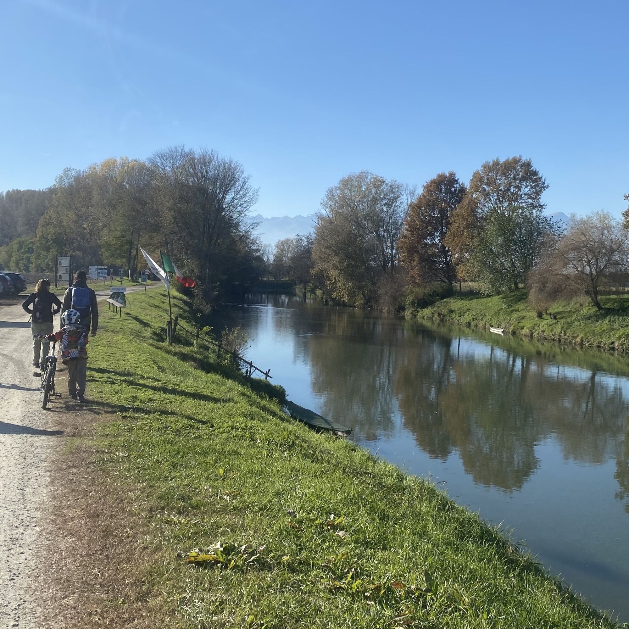
Inside the town of Villafranca Piemonte, start from the Church of Santo Stefano, in front of which there is a picturesque small square with some services and parking. On the left side of the church, follow a small path that allows you to exit the village and, at an intersection where a bealera also arrives, take the detour to the Sentiero delle Ochette, a naturalistic route along the Po River stretching for 14 km crossing the municipalities of Moretta, Cardè, and Villafranca Piemonte. The path was created by the Associazione Amici del Po.
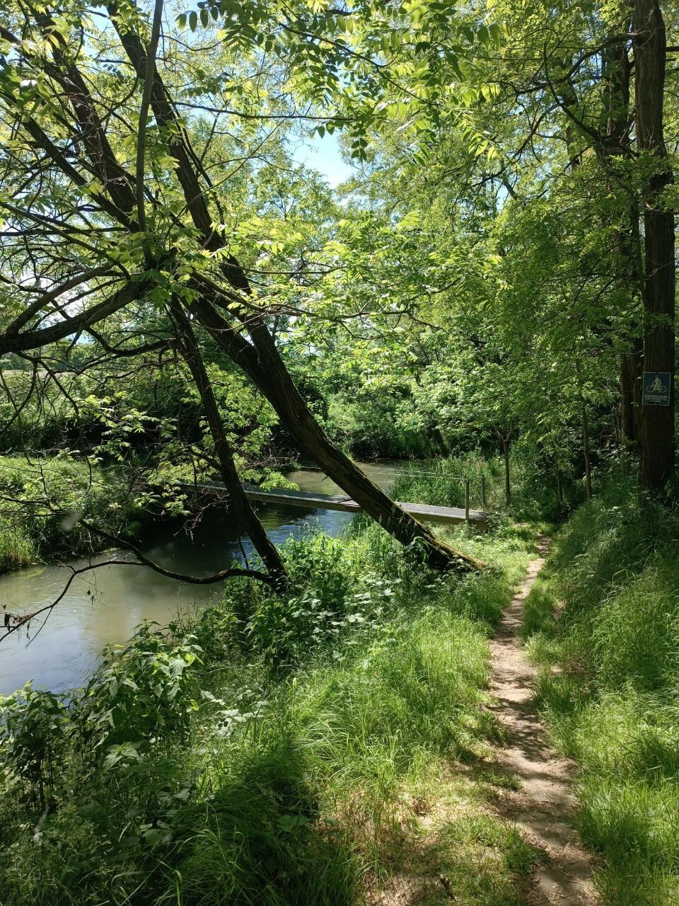
This section also features the signage of the Strade dei Forti. Following the banks of the Po River along the Sentiero delle Ochette, you are immersed in typical riparian vegetation, rich and intensely inhabited by various animal species. Among the various species that find shelter here, it is not difficult to observe the mallard duck, cormorants, and obviously geese. Follow the path for 4 km, which is marked with signs shaped like little geese, then leave it in favor of an agricultural road on the right. Follow a small stretch of provincial road 29 on the left and turn right towards Cantogno, where you can admire the sanctuary and the ancient castle. (toilet facilities available) The sanctuary is a pilgrimage destination.
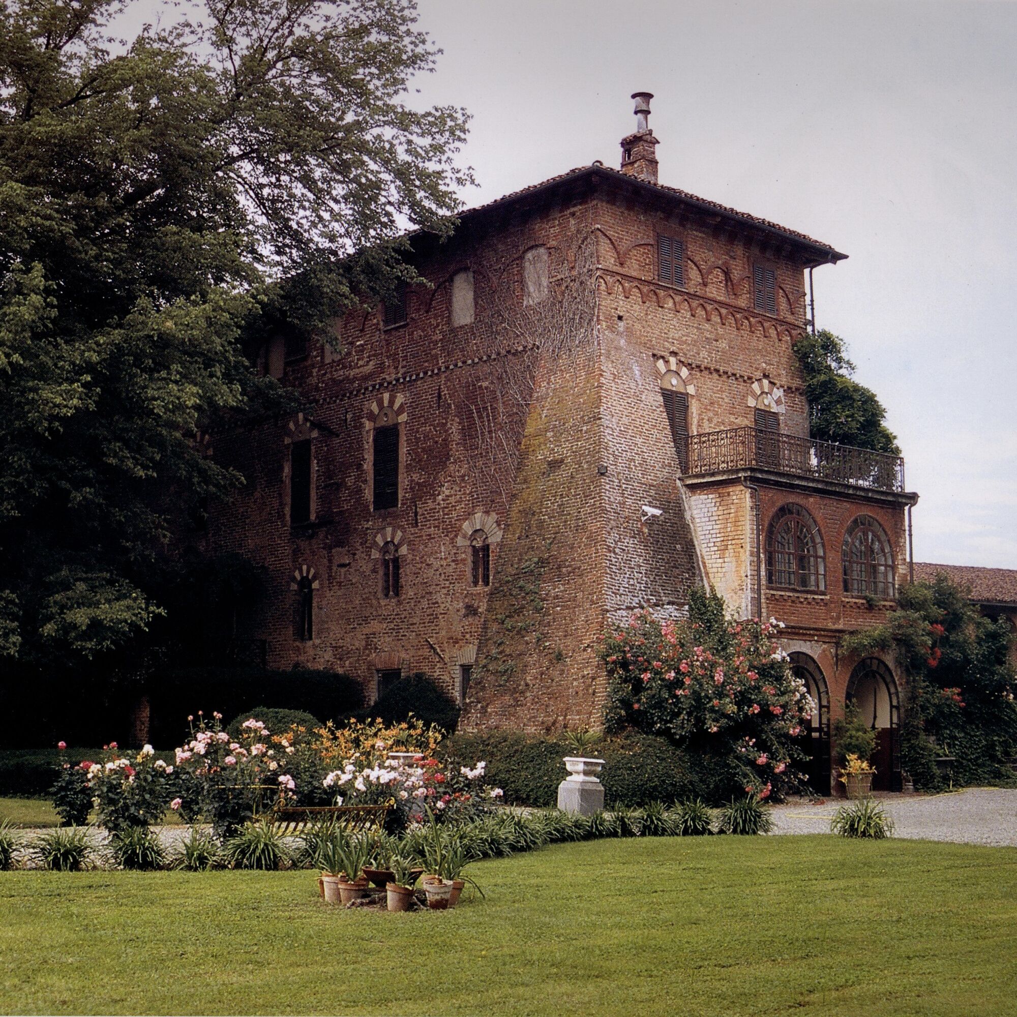
Then follow the main road lined with rustic buildings and farmhouses until you reach provincial road 151. Turn left and then immediately right, following the signs for the Mission Chapel. Ignoring the first fork, keep left, and at the second fork, if desired, it is possible to make a 2 km detour to visit the Santa Maria di Missione Chapel which is part of the "churches open doors" network and can be visited through the relevant application. Once back at the fork after the detour to the Santa Maria di Missione Chapel, take provincial road 153 and follow it for about 15 minutes, passing in front of the Marchierù Castle. Shortly after, leave the provincial road to take the road on the left. Then follow this quiet lane passing through various small hamlets such as Gagna and San Luca.
After the Airale Piccolo farmhouse, take the road on the left at the end of which you can use the cycle path to cross the roundabout and take the road on the left to enter Cavour, continuing until the Abbazia di Santa Maria.
Leaving the abbey behind, set off on the cycle path on the left which allows you to make the circuit around the Rocca. Continuing, you will also come to the fork with the paved road that climbs to the Rocca di Cavour.
Continue through the park of Piazza Terzo Alpini and, passing in front of the Mulino dei Benso, immediately turn left and then right again to find yourself on the main street of the town: via Giolitti. You reach Piazza Sforzini where you can find various points of interest including the Casa Forte dei Savoia, called Casa degli Acaja, and the ancient Roman fountain; just behind the fountain is the holy staircase that leads to the Rocca.
Appropriate clothing and equipment are recommended and to bring some water with you (water points available at the start and at the finish)
Water points: at the start; along the route there are farmhouses, some of which are also farms, where you can try, if needed, to ask to refill water bottles.
Reaching Villafranca Piemonte is easy via A55 and SP139.
Bus www.cavourese.it
Public parking is available in the center of Villafranca Piemonte.
T1
Some stretches run on provincial roads, it is recommended to always stay to the side or on the cycle path where available.
Before undertaking any excursion, it is advised to check the weather bulletins or ask for information at the local Tourist Offices.
It is good practice not to undertake an excursion alone, always inform someone of your destination.
Do not throw waste into the environment, but take it with you, possibly collecting any left by others.
The indicated travel times are approximate and can vary based on weather conditions and personal abilities.
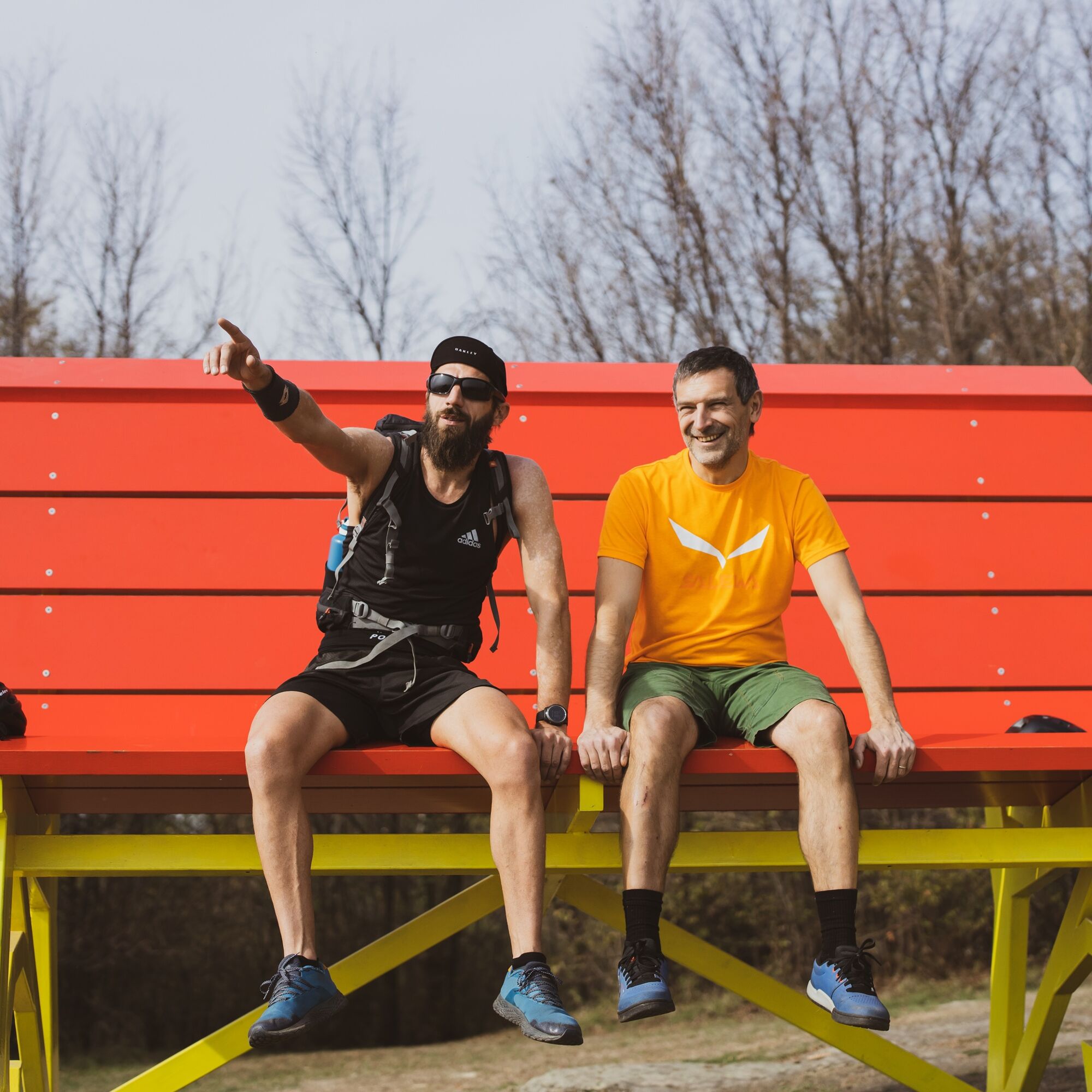
In Cavour, you can continue in the Rocca Natural Park and take a fun photo with the giant wine bottle or on the Big Bench.
In Villafranca Piemonte, parking is available HERE in Piazza Vittorio Veneto except on Tuesdays, which is market day.
Popularne wycieczki w okolicy
BRICHERASIO The Via della Pietra
światłoKolarstwo długodystansowe 11,5 kmSAN SECONDO Upslowtour - Loop 14 Memory and partisan routes
średniJazda na rowerze 33,8 kmBIBIANA Upslowtour - Valley Floor Ring 12
światłoJazda na rowerze 55,2 kmCAVOUR Ancient trees
światłoKolarstwo długodystansowe 29,6 kmStage 2 from Cavour to Pinerolo - Le Strade dei Forti
ciężkiTrasa pielgrzymki 19,7 kmGrand Tour UNESCO Arco 4 | From Racconigi to Avigliana
ciężkiKolarstwo długodystansowe 134,5 kmChisone ring on the trail of herons
średniMountainbike 22,4 kmLe Strade dei Forti - stage 1 from Villafranca Piemonte to Pinerolo
światłoMountainbike 43,6 kmFrom Lusernetta to Villafranca
światłoMountainbike 56,4 kmThe Pinerolese Apple Road
ciężkiKolarstwo długodystansowe 123 km

Wędrówki i tropienie


Nie przegap ofert i inspiracji na następne wakacje
Twój adres e-mail została dodana do listy mailingowej.