







COASSOLO TORINESE Alpe Cialma

Poziom trudności: S1
Very scenic and interesting hike. From Lanzo Torinese follow the road to Coassolo Torinese - San Nicolao and continue to the hamlet of Vietti, about 2 km from the village turn right and take the paved...
The return offers 2 possibilities: The first - RECOMMENDED - easier for the inexperienced, follows the route of the ascent.
The second (loaded track) decidedly more technical and "enduristic" - ONLY FOR EXPERTS - continues on the ridge behind the alpine pasture and after an up and down, descends through steep paths designed by local "riders" - MTB Presibene - and crosses the suggestive Pian del Coppo, until rejoining the route of the climb. From here a variant that, from Coassolo Torinese veers towards the Chapel of the Grata and the Bridge over the Tesso. From here the asphalt road descending to Lanzo Torinese is resumed.
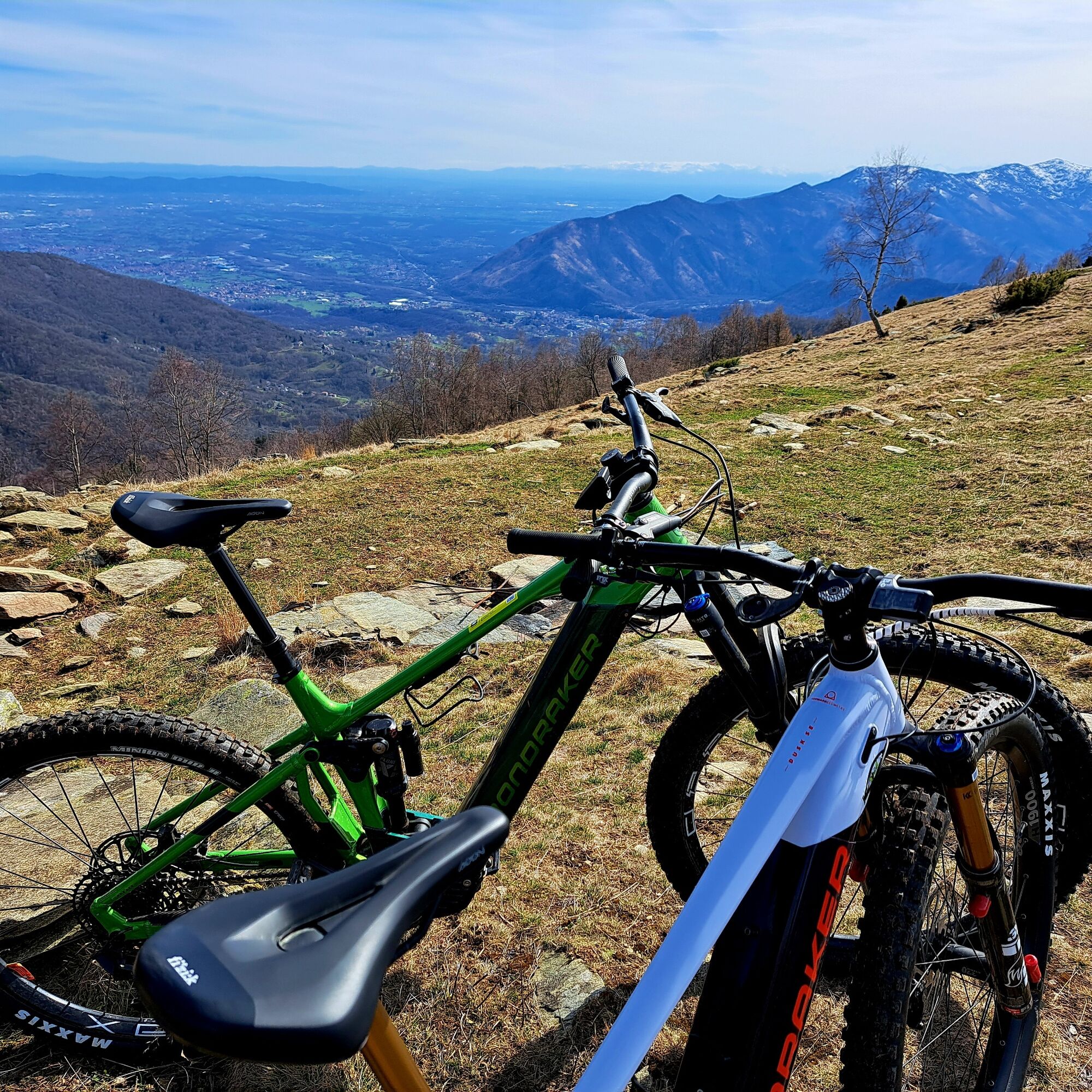
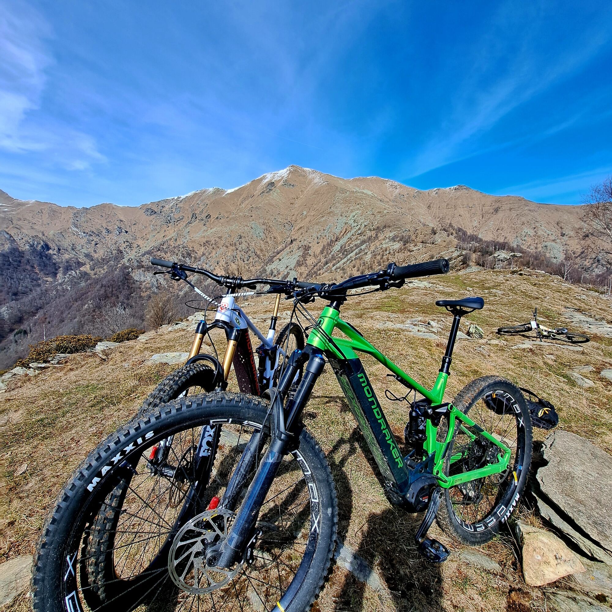

Difficulty (MTB): MC (for cyclo-hikers of average ability). The climb does not present insurmountable technical obstacles, but requires a good athletic background.
Fund: Asphalt in the first section, then dirt forest road and inter-farm road with concrete sections on the steepest slopes.
The climb is a "crescendo" that takes you from the town to the solitude of the alpine pasture:
The exit from the village: Start from the center of Coassolo following the signs for the high hamlets (direction San Pietro). This first section is on asphalt and allows you to find your rhythm between the hairpin bends that cut through the hamlets.
The junction for Cialma: Continuing beyond the hamlet of Vietti, the road narrows and the asphalt gives way to dirt road. You will have to follow the signs for Alpe La Cialma / Case d'Alpe.
Forestry climb: The dirt road climbs up the mountainside with a series of fairly steady ramps. The bottom is generally firm, but watch out for some cemented sections that have been made to allow farm vehicles to pass: here the slopes can briefly exceed 12-14%.
Arrival at the Alpe: The vegetation thins out and the view opens up. Alpe La Cialma appears as a natural balcony above Val Tesso.
Tak
Water: Refuel at the fountains in downtown Coassolo. Once you take the dirt road to the alp, drinking water points are rare.
In the summer time due to the presence of herds and grazing animals, pay close attention to tidal dogs and electric wires marking the grazing areas.
By Car
This is the quickest option if you carry bicycles or mountain equipment.
From Turin: Take the Turin-Caselle freeway junction (RA10). Exit at Caselle and take SP2 (the Mandria direttissima) following the signs for Valli di Lanzo / Ciriè. Continue straight on, passing Ciriè and Nole; the road will take you directly to the entrance of Lanzo Torinese after about 30-35 km from the center of Turin (about 45 minutes).
By Train (SFM1 - Turin-Ceres)
Lanzo is served by the SFM1 (Servizio Ferroviario Metropolitano) railway line, which has recently been modernized and connected directly to Turin's rail link.
Departure: You can take the train from Turin Lingotto, Turin Porta Susa or Turin Rebaudengo Fossata stations.
Destination: Get off at Lanzo Torinese station.
Advantage for cyclists: The new trains on the Turin-Ceres line (operated by Trenitalia/GTT) have special spaces for transporting bicycles. Always check bike space availability when purchasing your ticket.
By Bus
There are suburban connections operated by GTT.
The lines mainly depart from Turin (Porta Susa Station/C.so Bolzano) and connect the city with Lanzo and neighboring towns.
Note: This option is less recommended if you have a MTB in tow, as the load in the luggage compartment depends on available space and carrier rules.
Recommended Parking: For those who need to unload their bikes, the parking lot at the Railway Station or the one near the Devil's Bridge are ample and convenient as a starting point.
S1
Seasonality: Due to its southern exposure, this route is passable for most of the year. It is perfect in the mid-seasons (spring and autumn), while in midsummer it is advisable to start very early to avoid the strong sunlight.
Votive pillars: Along the climb you will encounter several votive pillars, evidence of the deep mountain devotion of the Coassolo communities.
Panoramic Variant: If you still have legs, from Alpe La Cialma you can continue on ridge trails (more technical) towards Mount Mompantero, for a more "cycle-touring" experience.
Agricultural environment: The mountain pasture is still loaded during the summer. It is easy to find grazing herds; it is a hike that smells of mown grass and authentic rural life.
Popularne wycieczki w okolicy
CERES Santa Cristina Loop
średniWędrówka 7,84 kmALPETTE Monte Soglio and cima Mares from Balmassa
średniWędrówka 10,9 kmMONASTEROLO Ca' Bianca and Big Bench
światłoWędrówka 4,13 kmVALLO TORINESE Passo della Croce and the Turu
średniWędrówka 4,29 kmGPR - Giroparco Gran Paradiso
ciężkiWędrówka 100,4 km- 5,0
ROCCA CANAVESE Madonna della Neve - Bandito Chapel
średniWędrówka 12,4 km - 4,0
VALPERGA Sacro Monte di Belmonte Loop
średniWędrówka 10,3 km CHIALAMBERTO Sanctuary Madonna del Ciavanis and roc d'le Masche from Vonzo
średniWędrówka 6 kmVIU' Lake Viana from Alpe Bianca
średniWędrówka 5,56 kmCHIALAMBERTO Frassa Loop
średniWędrówka 10,1 km
Wędrówki i tropienie


Nie przegap ofert i inspiracji na następne wakacje
Twój adres e-mail została dodana do listy mailingowej.





