


The Toce Cycle Route
Poziom trudności: S1
Zdjęcia naszych użytkowników
-

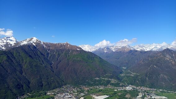
 © Lis MalzachUtworzono dnia 30.03.2026
 -

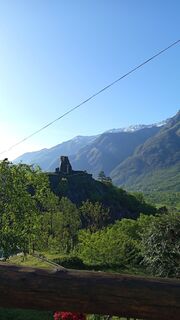
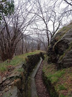
 © Paolo PaganiniUtworzono dnia 16.04.2026
 -
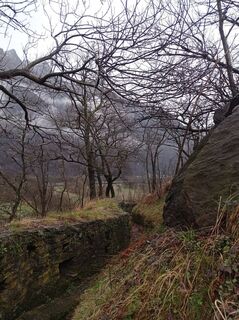
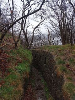
 © Paolo PaganiniUtworzono dnia 16.04.2026
 -
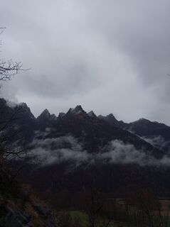
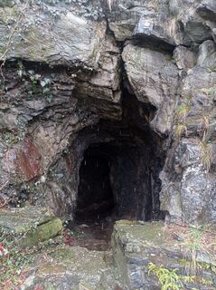
 © Paolo PaganiniUtworzono dnia 16.04.2026
 -
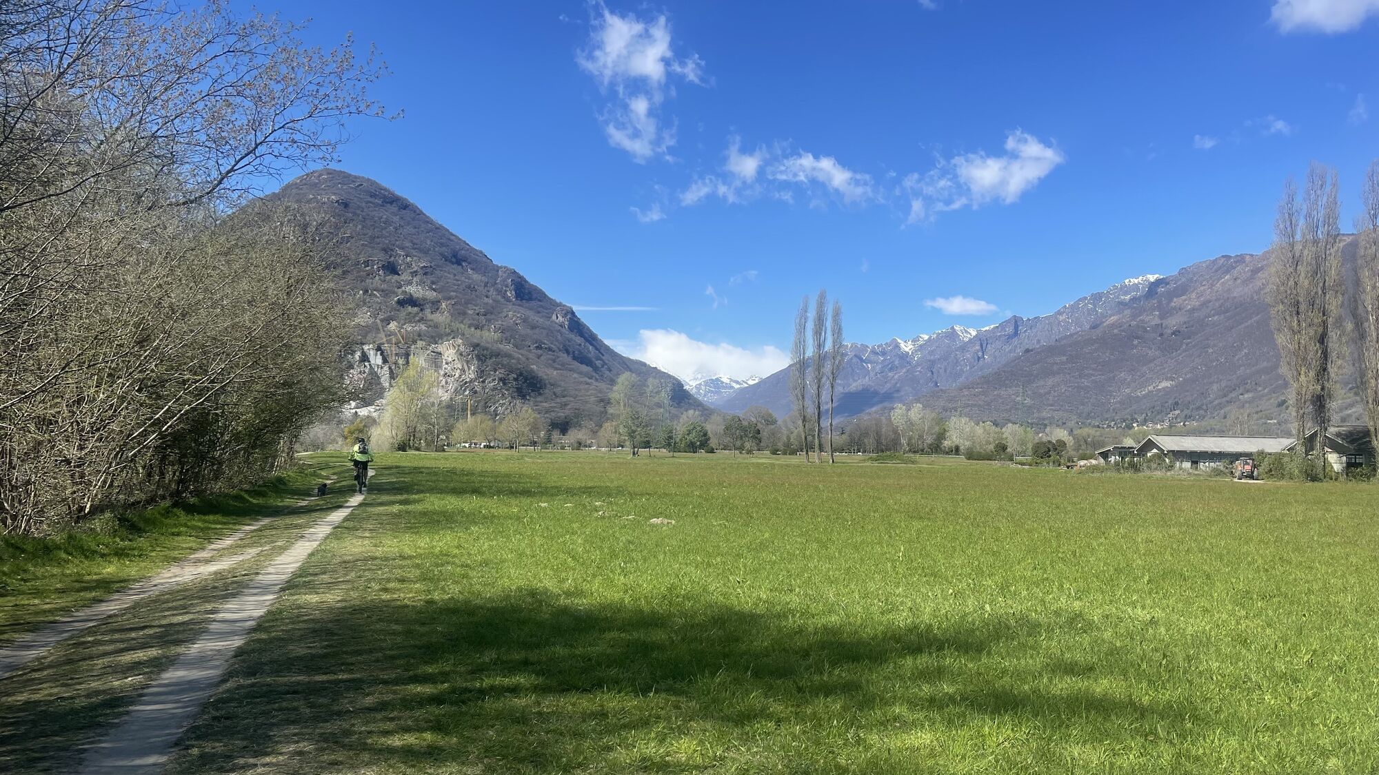
 © AnerUtworzono dnia 15.03.2025
 -
 © AnerUtworzono dnia 15.03.2025
 -
 © AnerUtworzono dnia 15.03.2025
 -
 © AnerUtworzono dnia 15.03.2025
 -
 © AnerUtworzono dnia 15.03.2025

The Toce Cycle Route partially coincides with the "Via del Mare," declared a "route of regional interest" by the Piedmont Region. It begins in Domodossola and ends in Imperia, crossing the entire Piedmont...
.It begins at the Domodossola railway station, Borgo della Cultura, and after an initial stretch on ordinary roads, near the Mizzoccola bridge, it joins the cycle path that runs along the right bank of the Toce River. Passing through woods and clearings, in Villadossola the route skirts the Collina dello Sport (Sports Hill).
After a few stretches on ordinary roads, it returns to the cycle path until reaching the Pallanzeno sports field. Returning to ordinary roads and then back onto the cycle path, it reaches Piedimulera, passing through the historic center dominated by the majestic Ferrerio Tower. Continuing towards Pieve Vergonte, first on ordinary roads and then on the cycle path, it continues until reaching the Vogogna sports field.
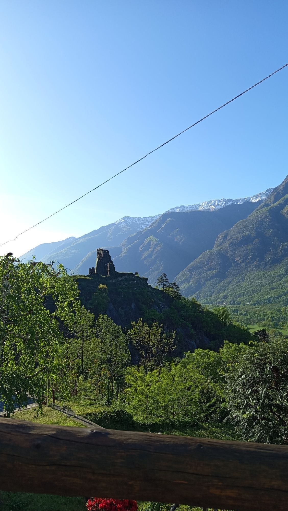
Returning to ordinary roads, you reach the heart of the historic center of the medieval village of Vogogna, recognized as one of the "Most Beautiful Villages in Italy" and awarded the Orange Flag. Here you can admire the historic Palazzo Pretorio, the Visconti Castle, and the neo-Gothic Parish Church of the Sacred Heart of Jesus. This is where the first section of the Toce Cycle Route, known as "cycling through the villages," ends.From the historic center of Vogogna, initially on ordinary roads, then on dirt country roads, you reach the cycle path that runs along relaxing flower-filled meadows, farmland, and majestic trees until reaching the Bosco Tenso Nature Reserve. The route, sometimes used by mixed-use vehicles, crosses the provincial road again near the Migiandone Bridge.
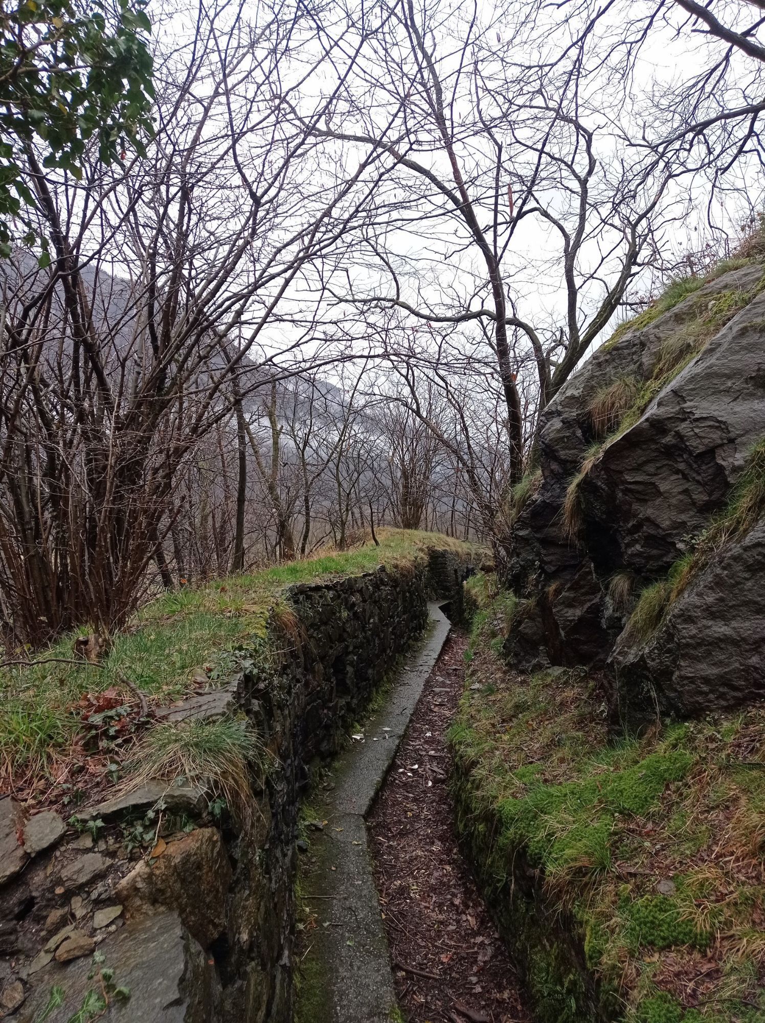
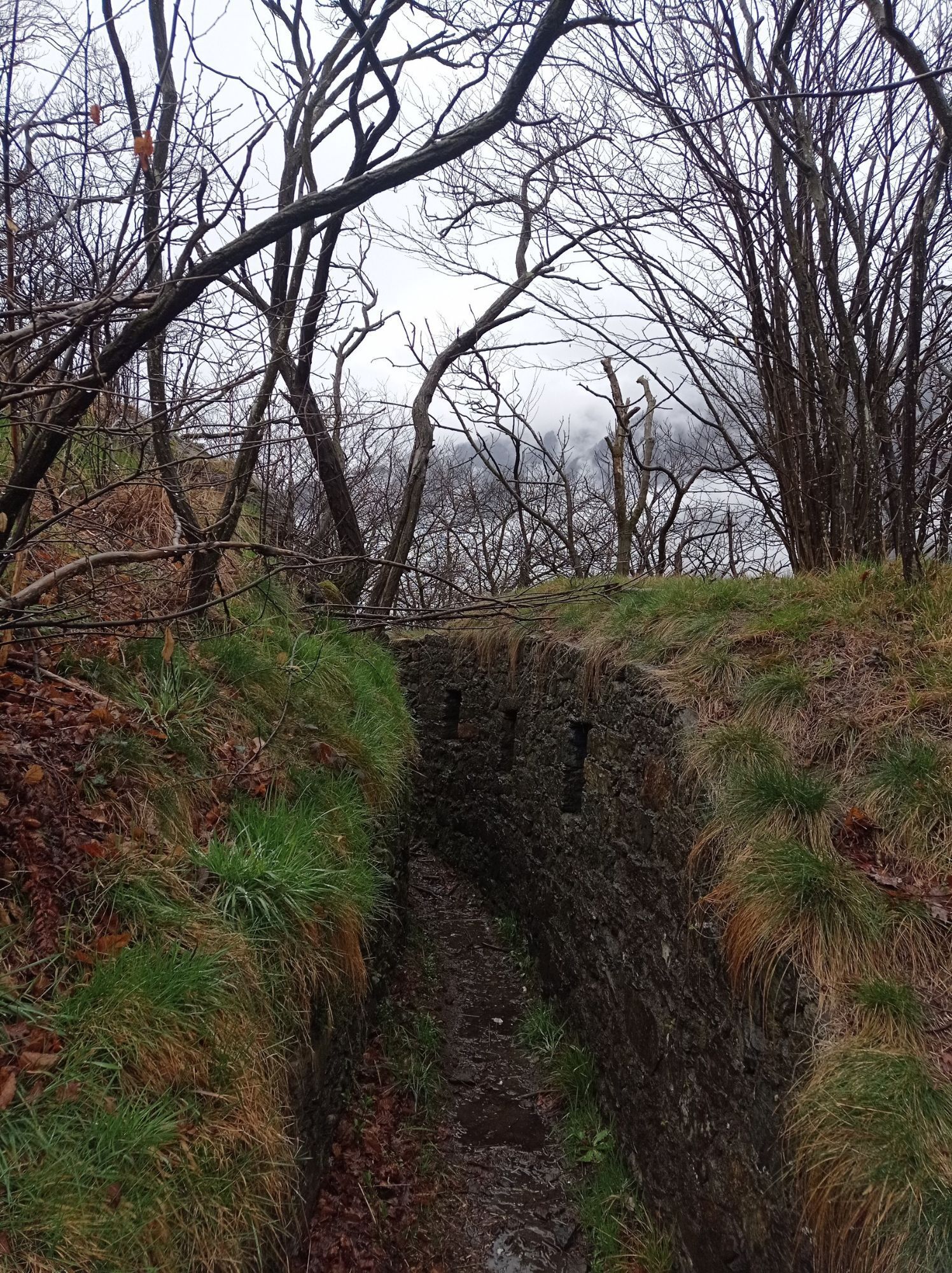
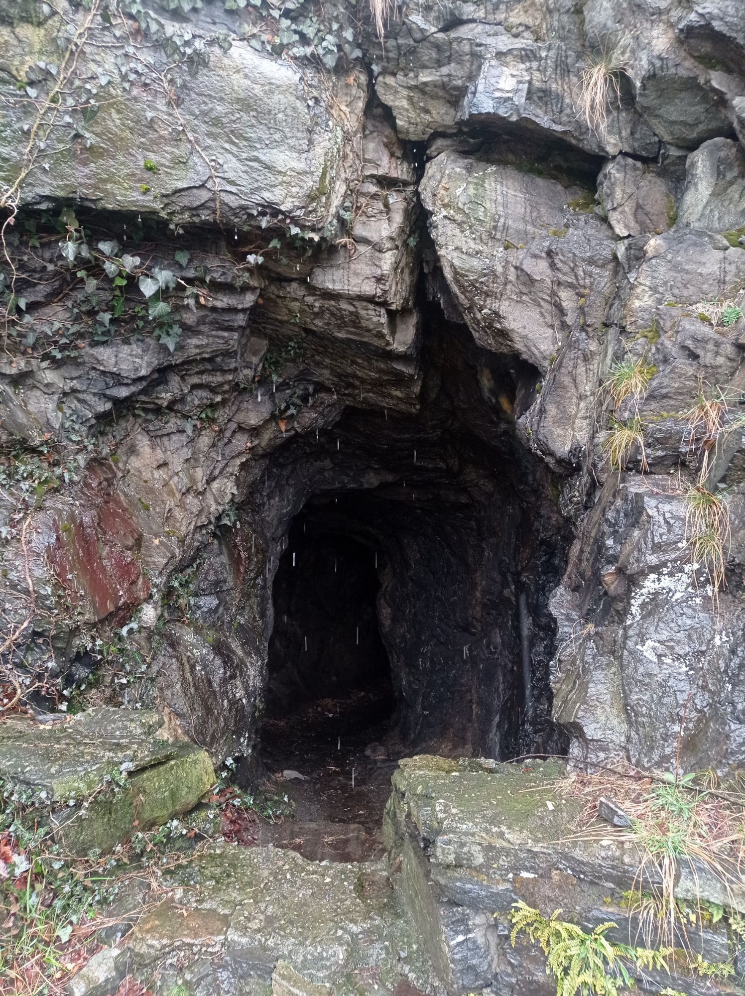
Here, following the main road, you reach Migiandone, a hamlet of Ornavasso, where you rejoin the paved bike path that leads to Punta di Migiandone, the starting point of the Cadorna Line, which climbs with regularly sloping hairpin bends flanked by trenches and cave emplacements to Forte di Bara. This is where the second section of the Toce Cycle Route, known as "cycling through the woods," ends.From the road bridge over the Rio San Carlo, continue towards the sports field.
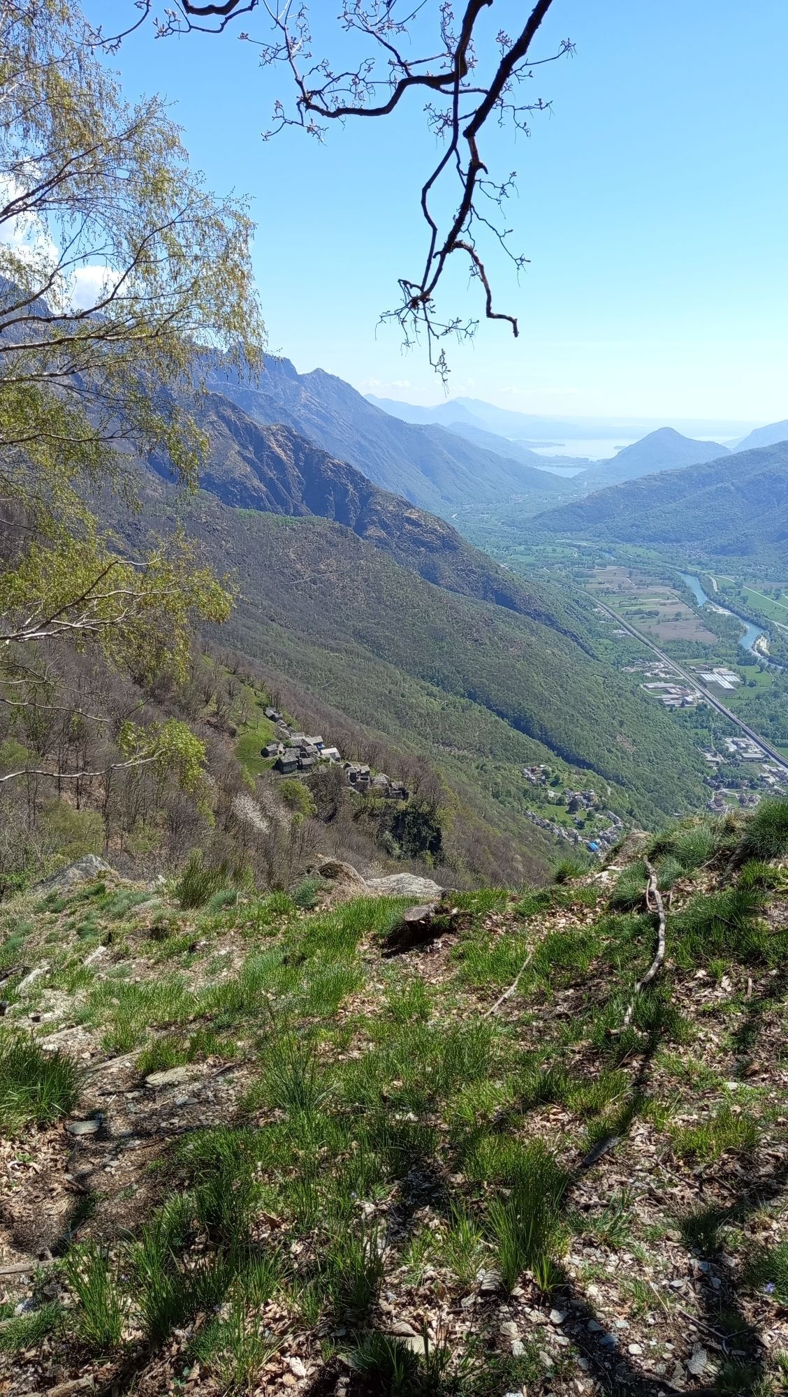
From here, a beautiful cycle/pedestrian bridge crosses the Toce River, offering stunning views of the waterway, the thick riparian vegetation, and the steep spires of the Corni di Nibbio. From the bridge, continue along the left bank of the Toce River, along a bike path. The setting is truly picturesque: the riverbanks are lined with lush vegetation, and here and there, clearings open up where the typical flowers of Lake Maggiore grow. Pass the turnoff for the Mergozzo sports field (we recommend a visit to the village overlooking the lake of the same name, awarded the "Orange Flag" by the Italian Touring Club), and finally the cycle path ends near the former incinerator. From here, for a short stretch, you return to ordinary roads and rejoin the natural surface (dirt) cycle/pedestrian path of the Fondo Toce Nature Reserve, a MAB-UNESCO Biosphere Reserve (www.parcoticinolagomaggiore.it).
The cycle path continues along the left bank of the Toce River until it reaches the Fondotoce campsites, the reed beds where there is also a bird watching observatory, and the canal that connects Lake Mergozzo with Lake Maggiore. The third section of the Toce Cycle Path, known as "cycling among the flowers," ends at the Fondotoce roundabout.From here, a paved cycle path alongside the road leads to the Verbania railway station. Pallanza. The return journey can be made by retracing the route or by train.

Brown "Toce Cycle Route" signs
Tak
Il percorso si sviluppa su piste ciclabili, agricole, strade asfaltate secondarie e tratti su viabilità ordinaria, occorre quindi prestare particoare attenzione agli incroci.
Train Line Milan - Domodossola / Locarno - Domodossola / Novara - Domodossola and Bus Line
Near the Domodossola or Verbania railway station
S1
- Historic Center of Vogogna, "Most Beautiful Villages in Italy," "TCI Orange Flag," Vogogna
- Fondo Toce Nature Reserve, MAB-UNESCO Biosphere Reserve, Lake Maggiore, Verbania
Popularne wycieczki w okolicy
-
4,0
Cicogna, Strada Sutermeister, Alpe Pogallo, Alpe Pra, Cicogna
średniWędrówka 9,83 km -
4,2
Um den Lago di Mergozzo
Wędrówka 7,93 km -
Monte Faiè
średniWędrówka 6,37 km -
2,0
Alpe Quaggione - Monte Massone - Alpe Quaggione
średniWędrówka 15,8 km -
5,0
Baveno - Monte Camoscio - Monte Crocino - Stresa
ciężkiWędrówka 10,7 km -
5,0
Wanderung mit dem Kindern 👍
Wycieczki górskie 5,61 km -
5,0
Val Pale - Pizzo Pernice, Piemonte/Italia
średniWędrówka 6,14 km -
5,0
Via Geoalpina | Stage 6 Alpe La Colma - Vogogna
średniWędrówka 13,2 km -
Alpe Faievo - Monte Tignolino - Alpe Faievo
średniWędrówka 15,6 km -
Via del Mercato | Stage 1 Masera - Santa Maria Maggiore
średniWędrówka 15,6 km
Wędrówki i tropienie


Nie przegap ofert i inspiracji na następne wakacje
Twój adres e-mail została dodana do listy mailingowej.