







Via Geoalpina | Stage 6 Alpe La Colma - Vogogna
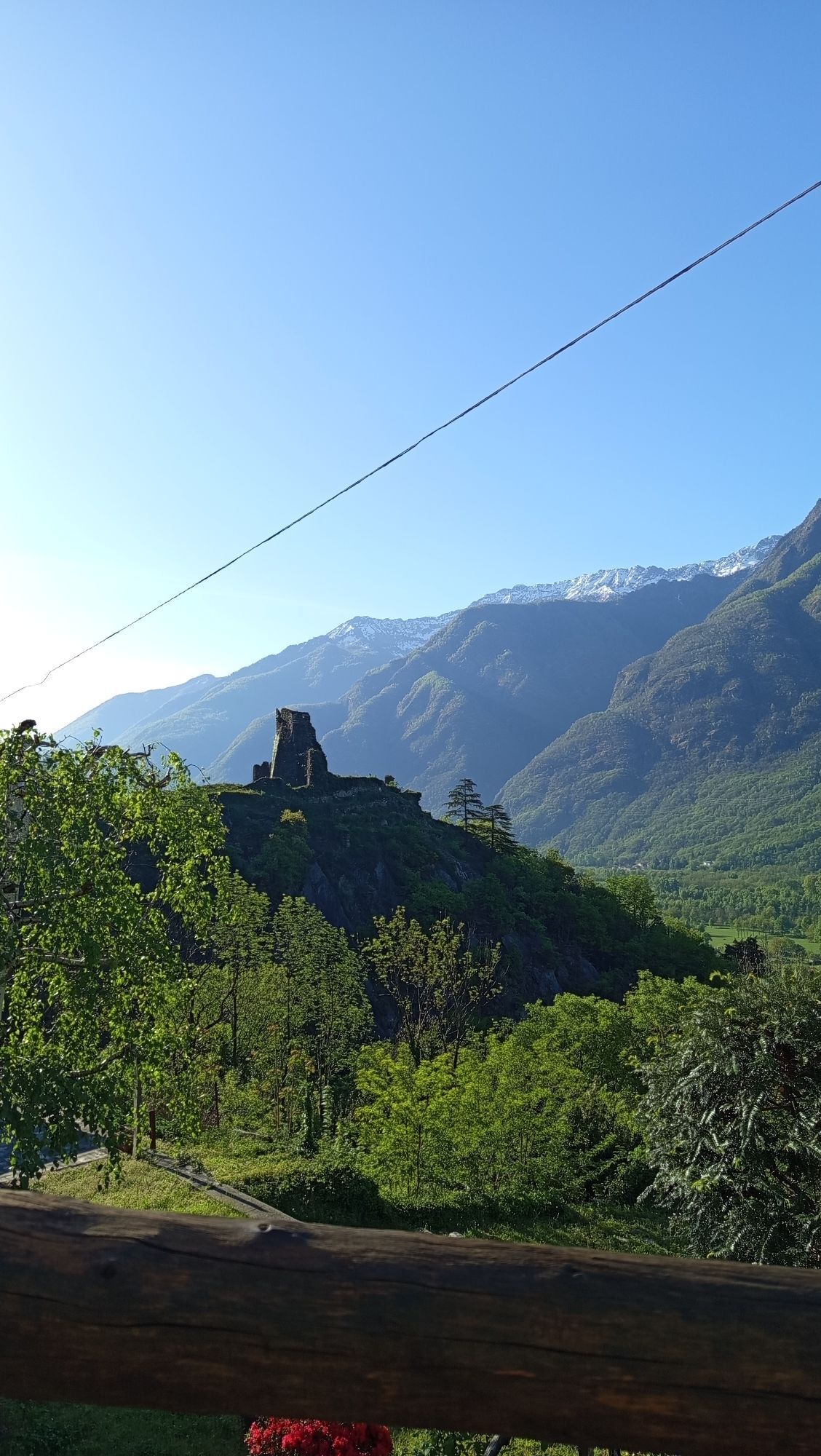
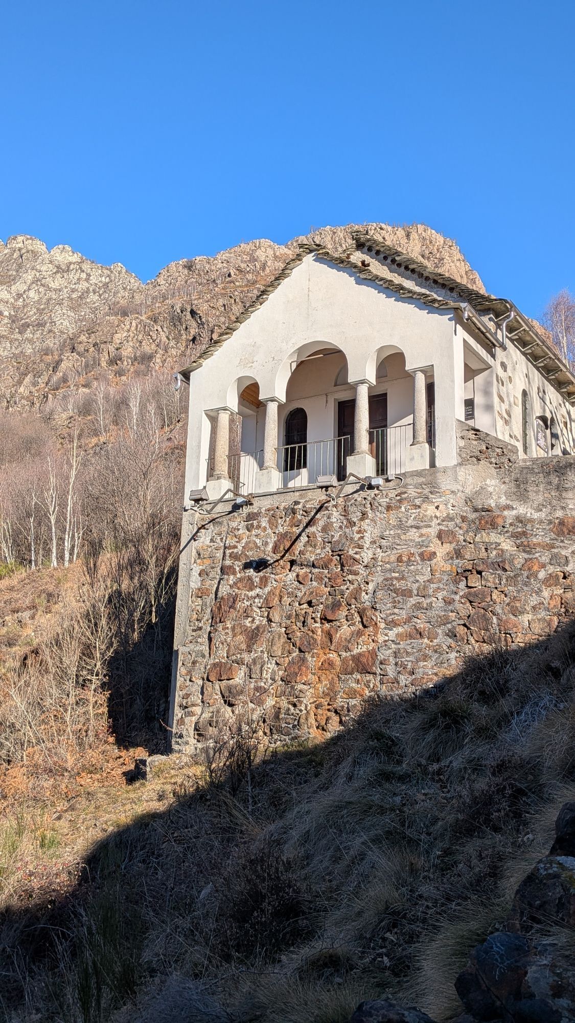
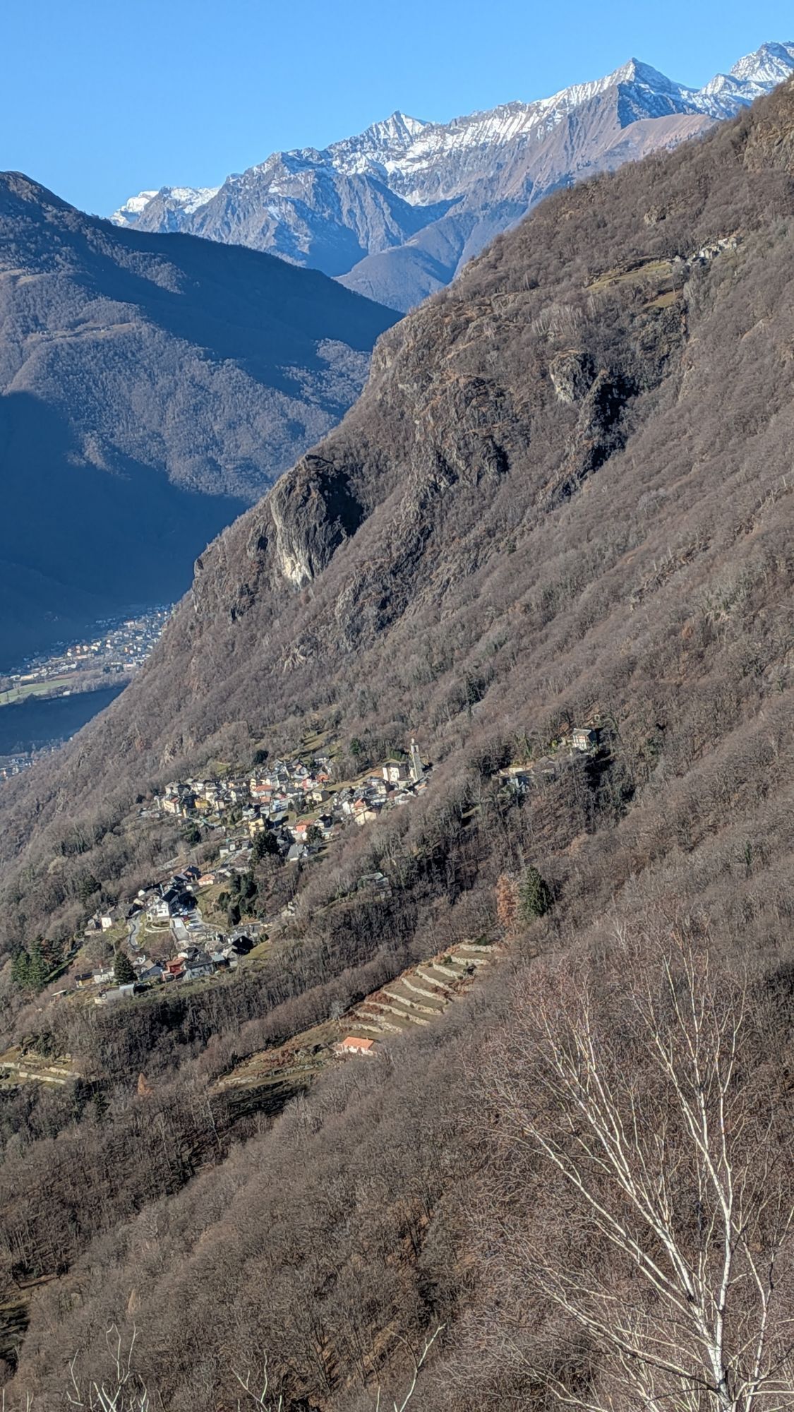
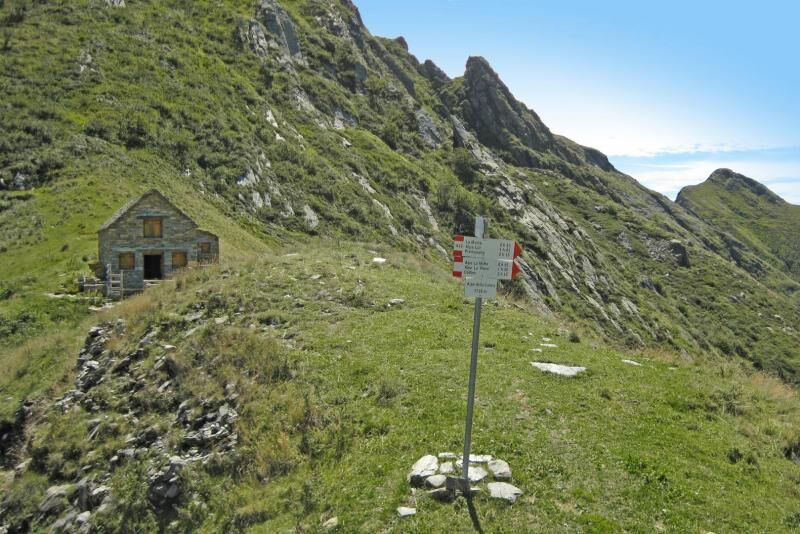
From the bivouac of Alpe La Colma, descend towards Premosello along the VBAA40 path, on a visible track, first through alpine pastures, then through a broadleaf forest, reaching the mountain pastures of...
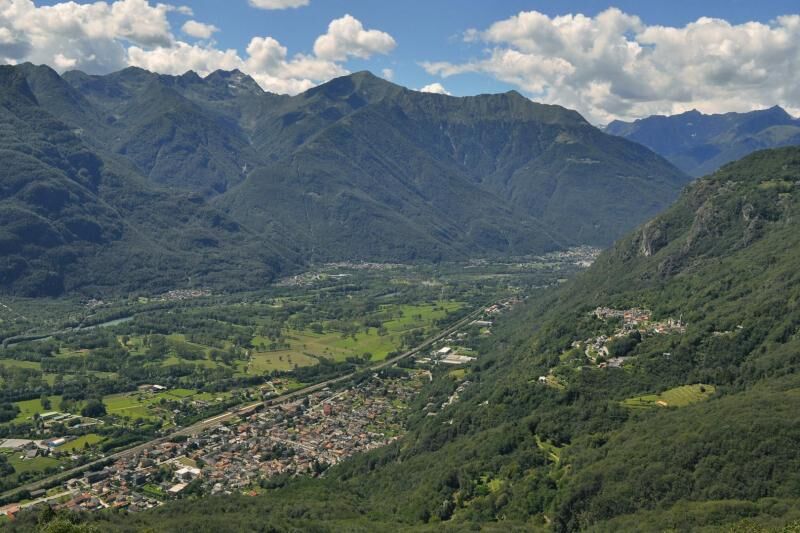
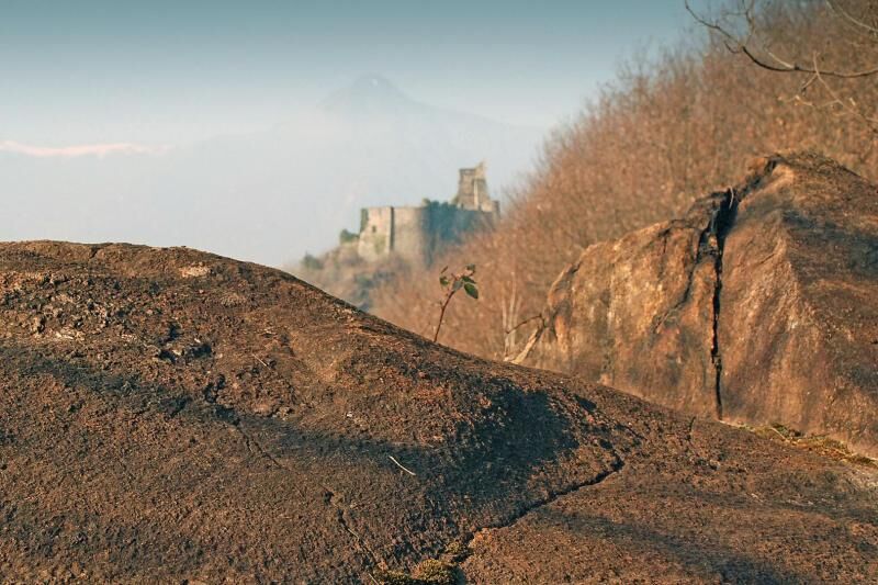
From the bivouac of Alpe La Colma, descend towards Premosello along the VBAA40 path, on a visible track, first through alpine pastures, then through a broadleaf forest, reaching the mountain pastures of La Motta (1139 m) and La Piana (999 m). Just beyond the centre of Alpe La Piana, you reach the point at an altitude of 960 m of the Colloro-Bacino-Alpe Lut-La Piana municipal road, which you take and go downhill until the crossroads for Alpe Lut, at an altitude of 800 m. Take the mule track at the crossroads that goes uphill on the right, reach Alpe Lut and, along the VBAA38A path, return to the municipal road and follow it as far as Colloro (500 m). Continue in Colloro, along via Fontana del Bosco, until the far west of the village. From here, go down along the VBAA36 path to Premosello and take the VBAA00 path, which runs along via Cuzzi. Leaving Premosello along via Cuzzi, the route reaches the geological observation point dedicated to peridotites, which is part of the Vogogna-Premosello geological path. After a short stretch on the SP 166 della Valle Ossola provincial road, the itinerary follows the mentioned themed path in the direction of Vogogna (path VBAA00D), going up the rocky crags overlooking the floor of the Toce valley, up to the Rocca di Vogogna (fortress). It continues further along the VBAA34A path to the hamlet of Genestredo (340 m) and then on a steep descent on a historic mule track to the Castle and the historic centre of Vogogna, where the stage ends.


Tak
Between Vogogna and Premosello it is possible to follow a geological itinerary equipped with educational panels. The path offers the exceptional opportunity to "cross" the continental crust, observing rocks formed at different depths and in different periods. Along an equipped itinerary you pass from the European paleocontinent, involved in the genesis of the Alps (50 - 30 million years ago), to the African paleocontinent, which preserves rocks and structures formed about 300 million years ago; at the same time you "descend" until the contact between crust and mantle, usually located at a depth of 30-35 km, here exhumed by tectonic processes. The route, equipped with explanatory panels, goes from the castle of Vogogna up to the Fortress and then continues along the rocky cliffs overlooking the Toce plain as far as Premosello. In the westernmost part, you cross the phyllonite rocks deformed by friction along the Canavese Zone, a strip along which the alpine construction has overlapped the more ancient southern alps; a little further on you can observe the direct contact between the rocks of these two areas (Schists of Fobello and Rimella and granules of the deep crust of the Ivrea Verbano area). You can observe the pre and post-glacial morphology of the Valle del Toce from a panoramic viewpoint, located on sheepback" rocks. After seeing the pseudotachylites, indicators of ancient earthquakes, at the eastern end you reach the contact between granulites and peridotites, representative of the discontinuity of Mohorovicic (or "Moho"), that is, the crust - mantle boundary.
 Uzyskaj wgląd
Zawsze na żywo z ponad 9 500 kamer internetowych. bergfex Jako użytkownik Pro, możesz teraz zobaczyć odpowiednie kamery internetowe dla wielu wycieczek w aplikacji wycieczki od. Pozwala to na bezpośredni podgląd aktualnych warunków.
Uzyskaj wgląd
Zawsze na żywo z ponad 9 500 kamer internetowych. bergfex Jako użytkownik Pro, możesz teraz zobaczyć odpowiednie kamery internetowe dla wielu wycieczek w aplikacji wycieczki od. Pozwala to na bezpośredni podgląd aktualnych warunków.
Popularne wycieczki w okolicy
-
4,0
Cicogna, Strada Sutermeister, Alpe Pogallo, Alpe Pra, Cicogna
średniWędrówka 9,83 km -
4,2
Um den Lago di Mergozzo
Wędrówka 7,93 km -
Monte Faiè
średniWędrówka 6,37 km -
2,0
Alpe Quaggione - Monte Massone - Alpe Quaggione
średniWędrówka 15,8 km -
Grande Traversata delle Alpi - GTA: Tratto Nord Piemonte
ciężkiWędrówka 181,3 km -
5,0
Val Pale - Pizzo Pernice, Piemonte/Italia
średniWędrówka 6,14 km -
5,0
Wanderung mit dem Kindern 👍
Wycieczki górskie 5,61 km -
4,0
Stage 4: Alpine Hut Route Bognanco - Domodossola
ciężkiWędrówka 12,2 km -
4,0
Montofano - Mergozzo, Piemonte/Italia
średniWędrówka 8,61 km -
Alpe Faievo - Monte Tignolino - Alpe Faievo
średniWędrówka 15,6 km

Wędrówki i tropienie


Nie przegap ofert i inspiracji na następne wakacje
Twój adres e-mail została dodana do listy mailingowej.





