


Via del Mercato | Stage 1 Masera - Santa Maria Maggiore
From Masera railway station, follow the main road (pavement) to the large car park in front of the Janni e Ceschi hardware store. You then take a steep path that climbs up into the woods to come out on...
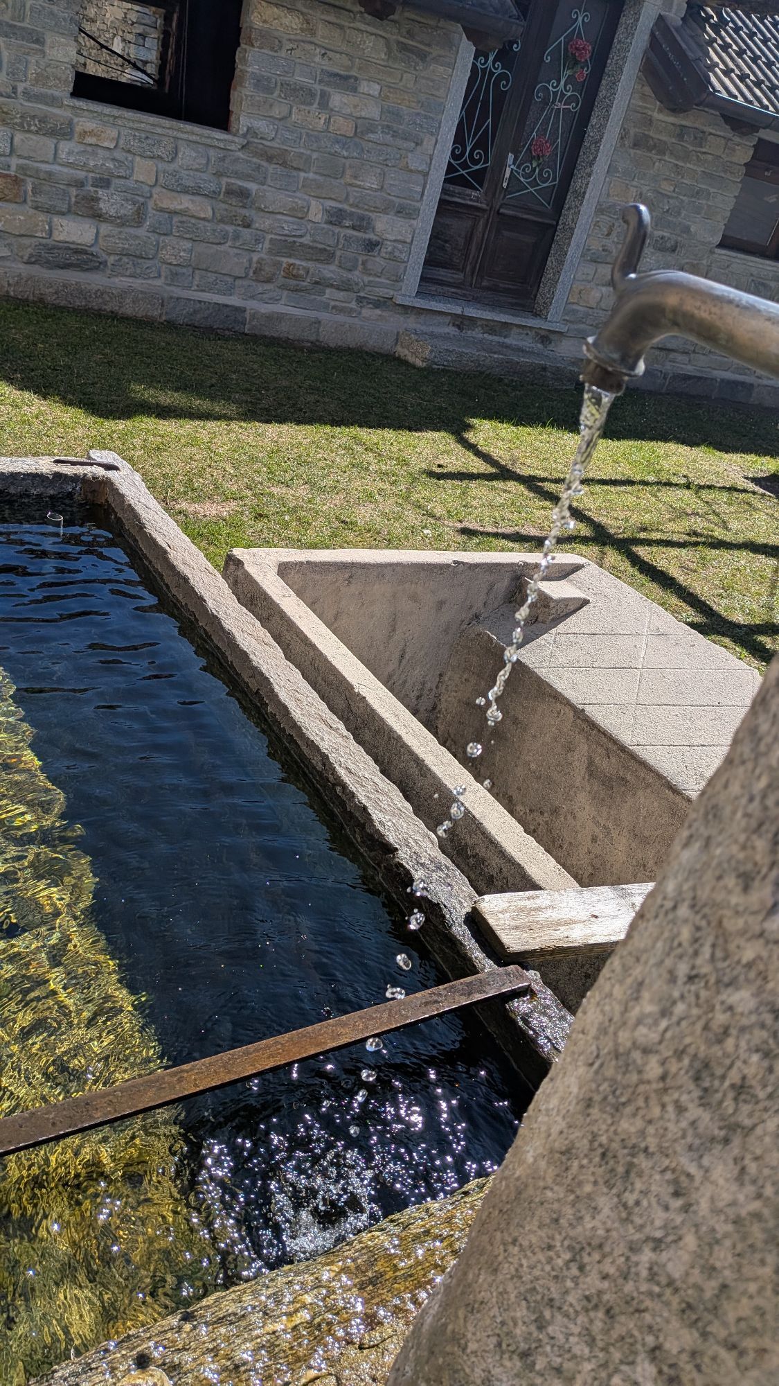
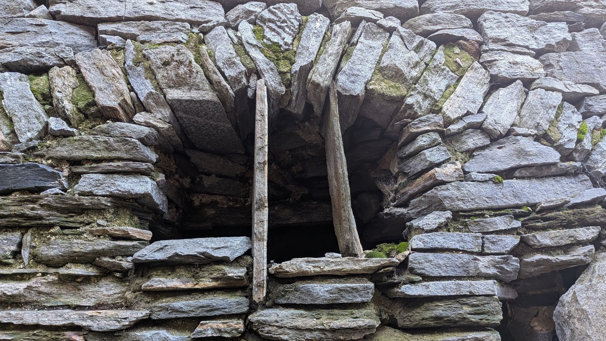
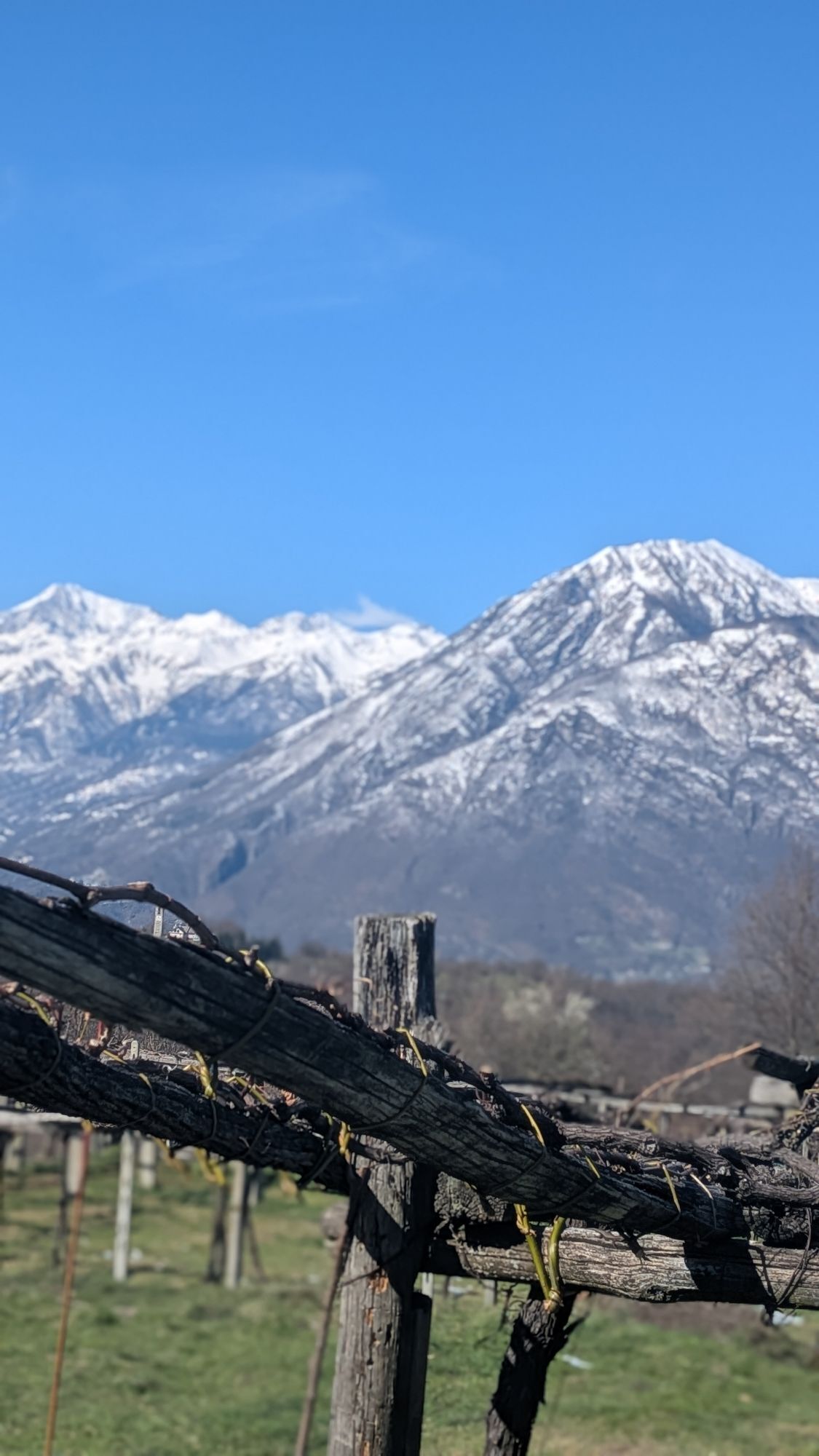
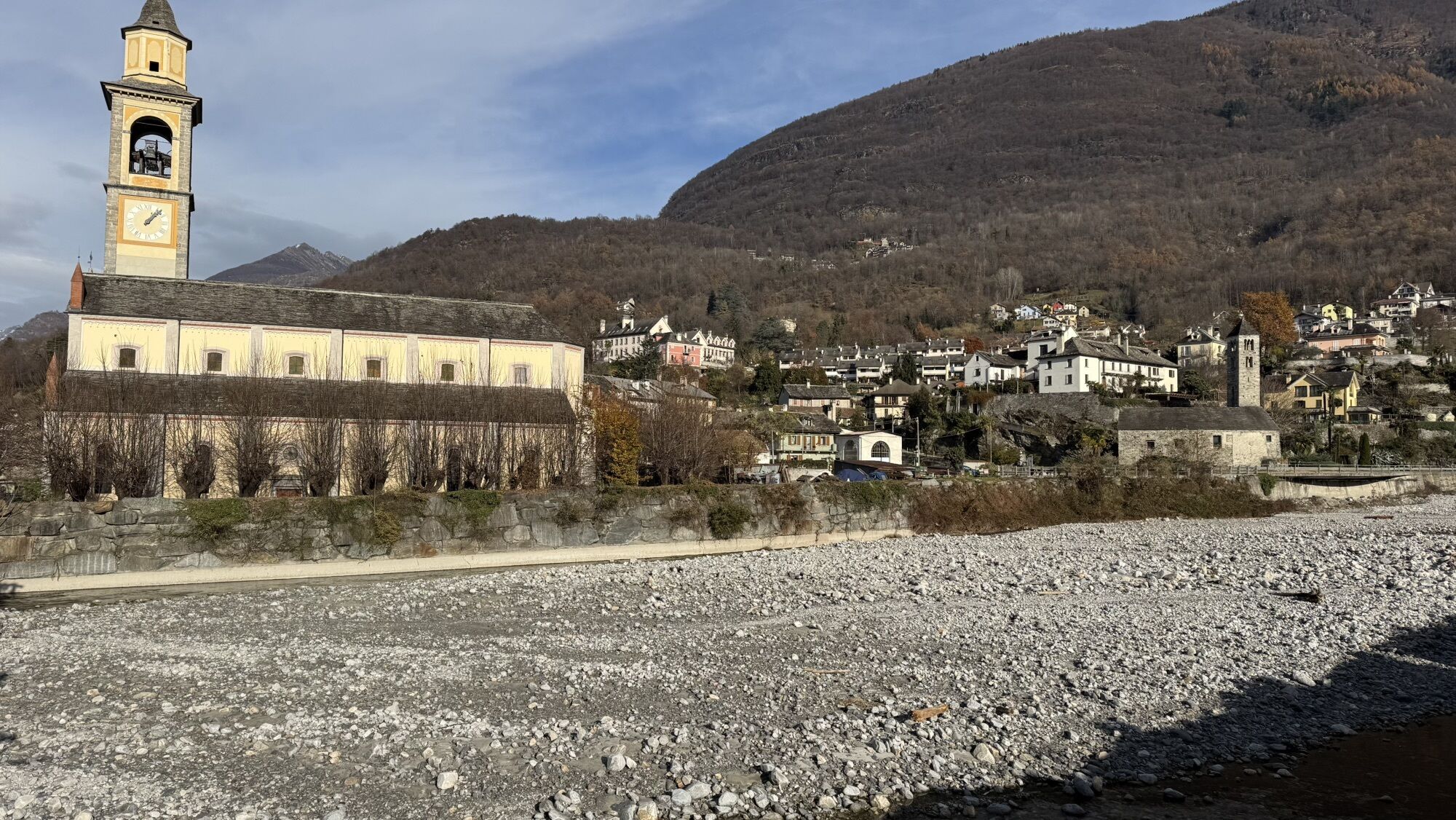
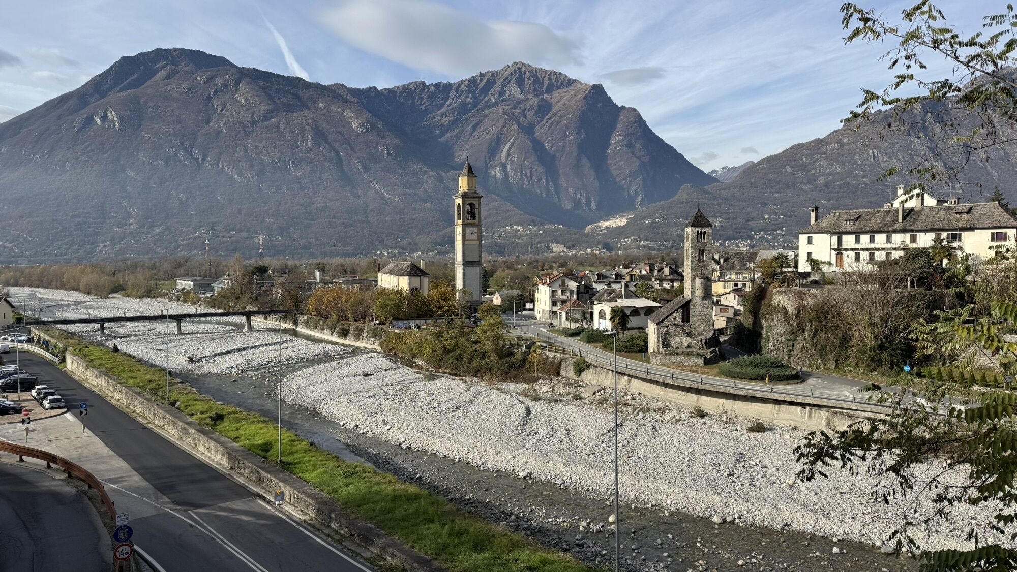
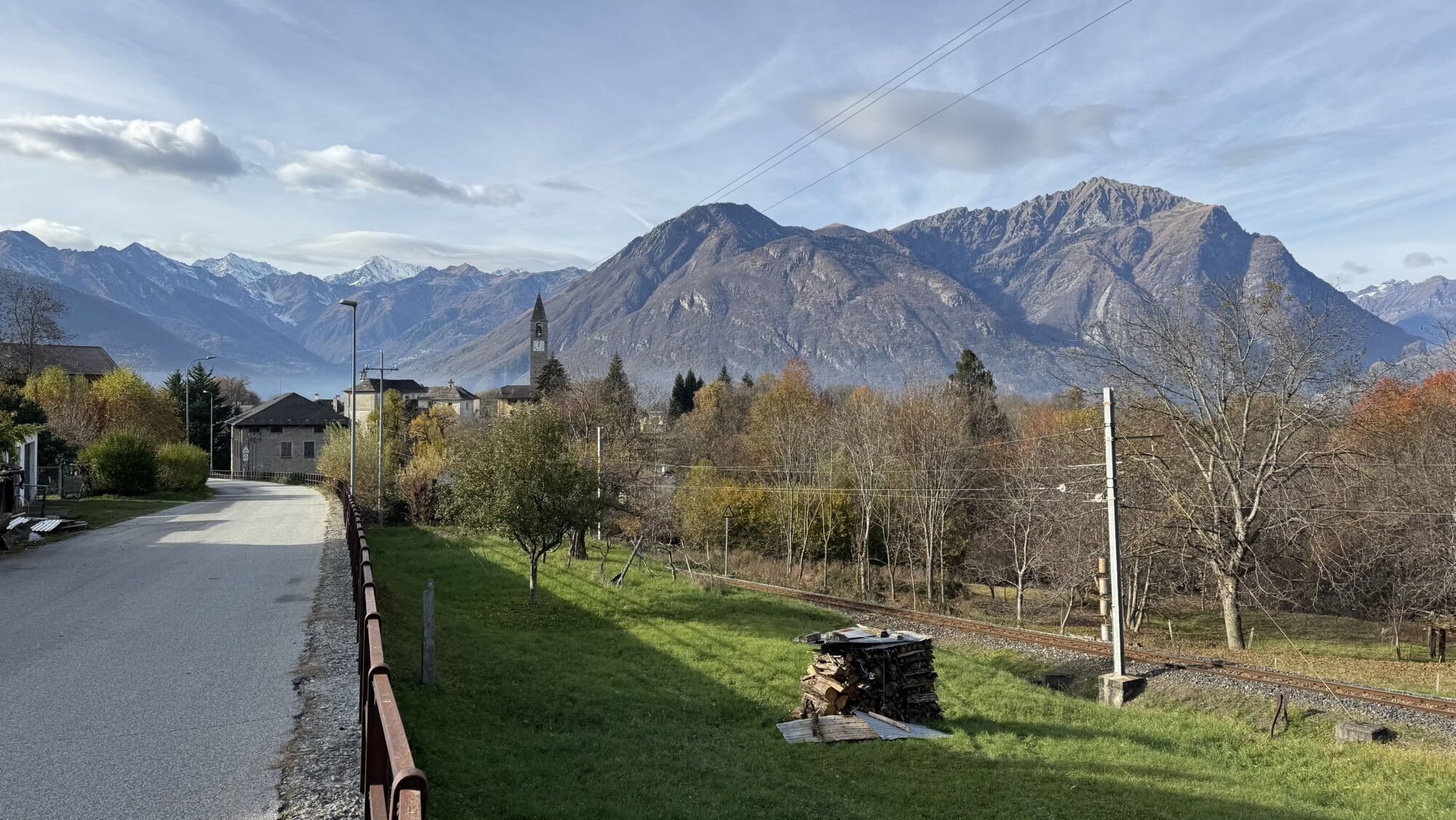
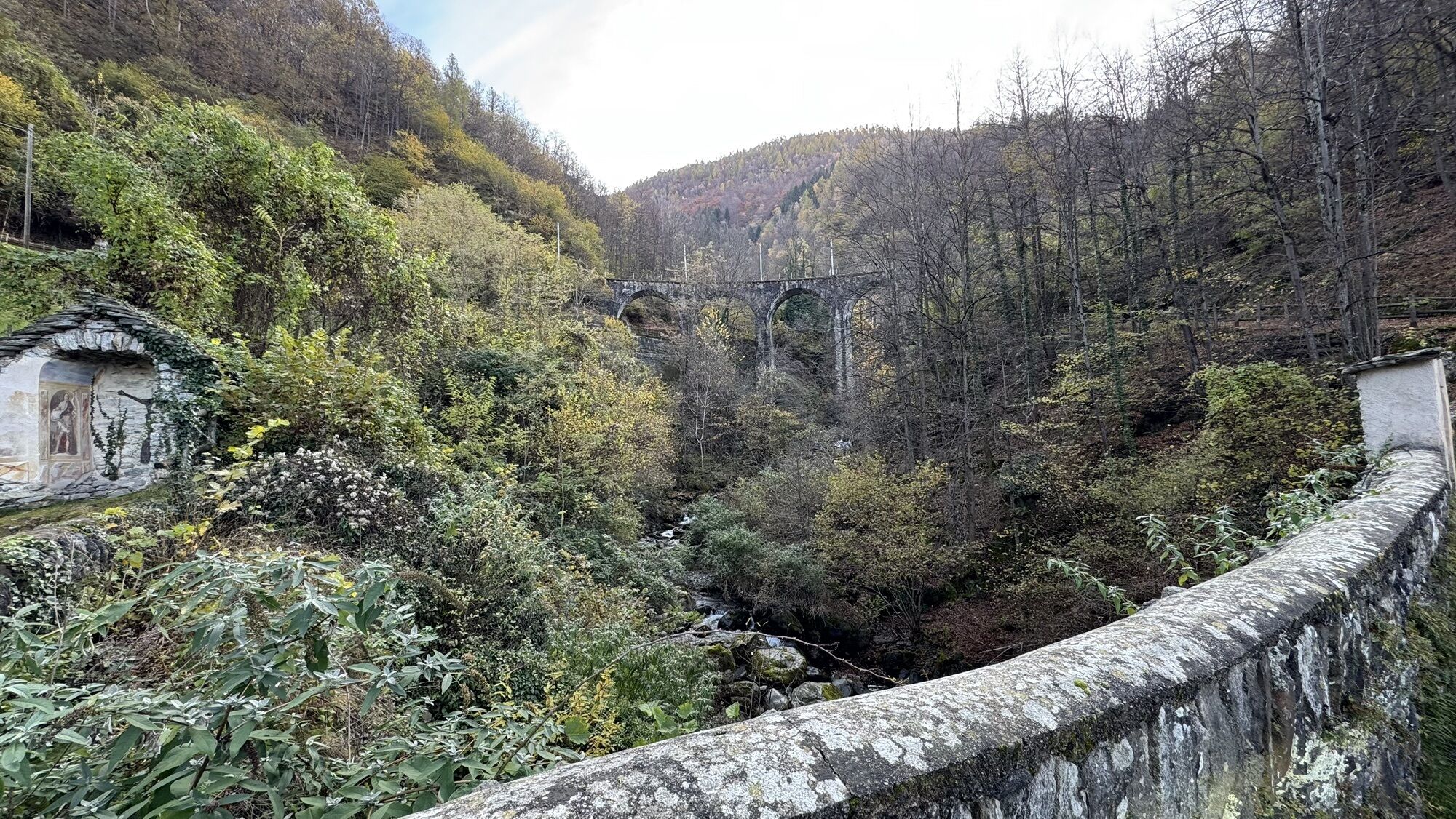
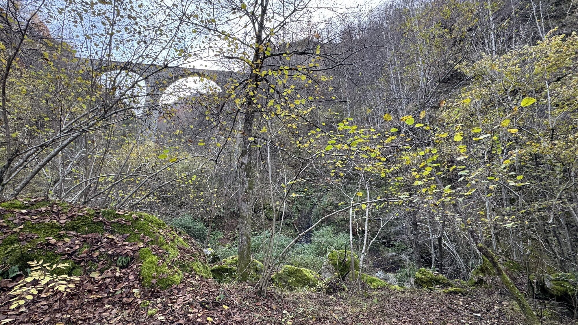
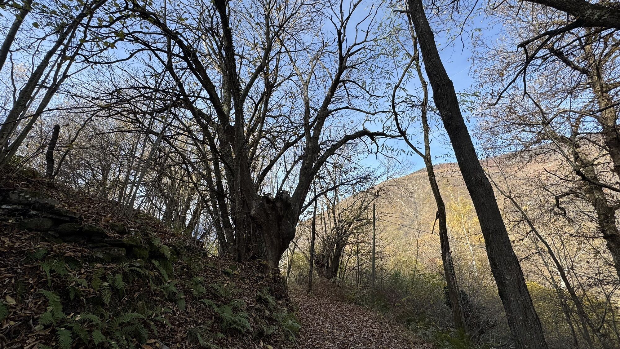
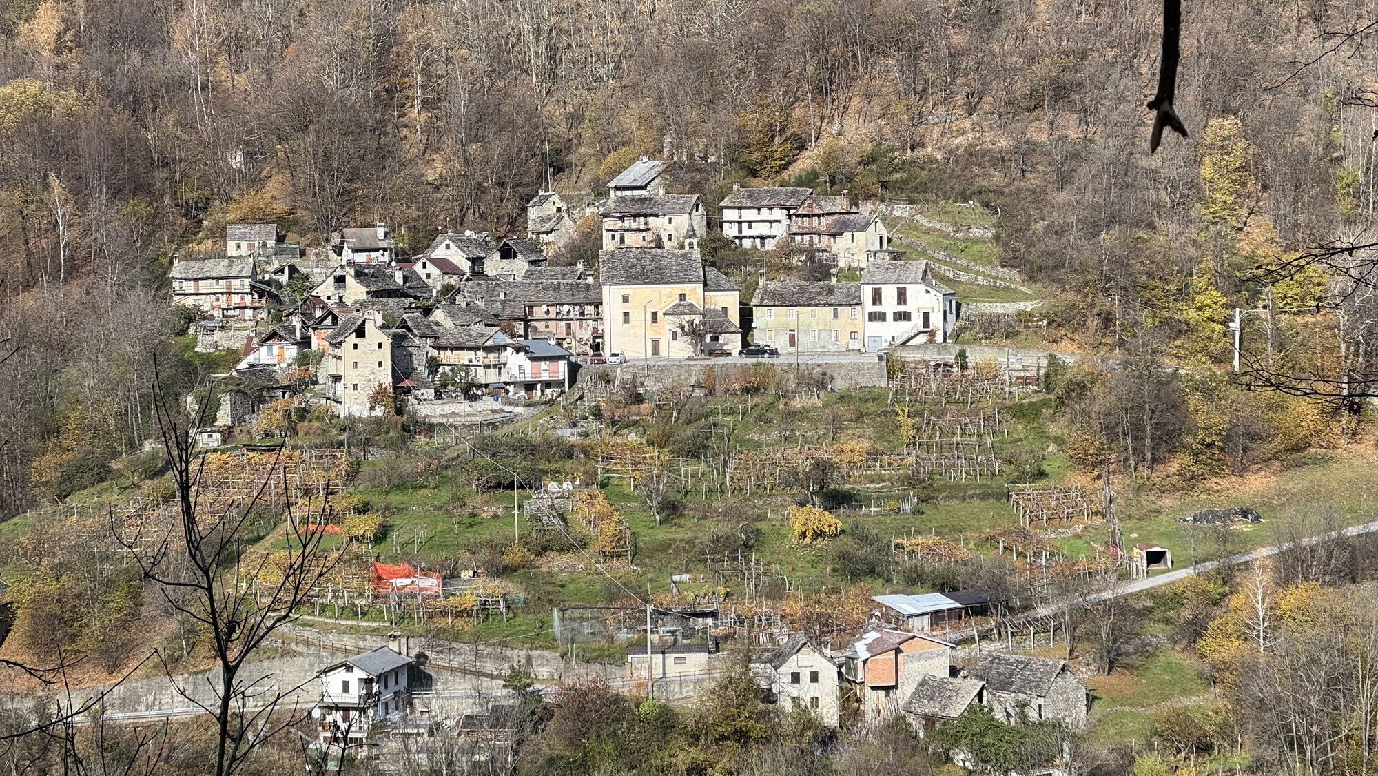
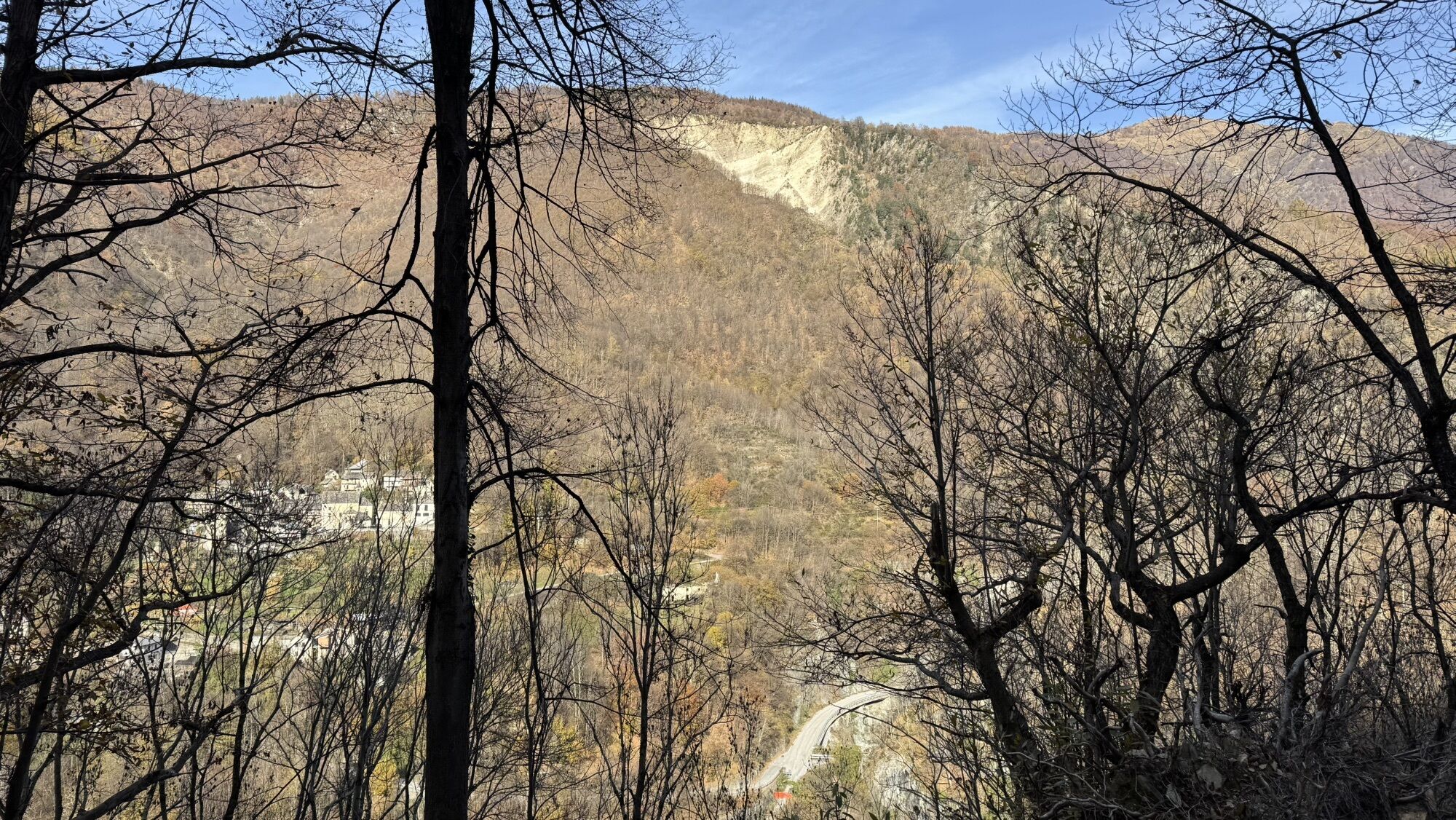
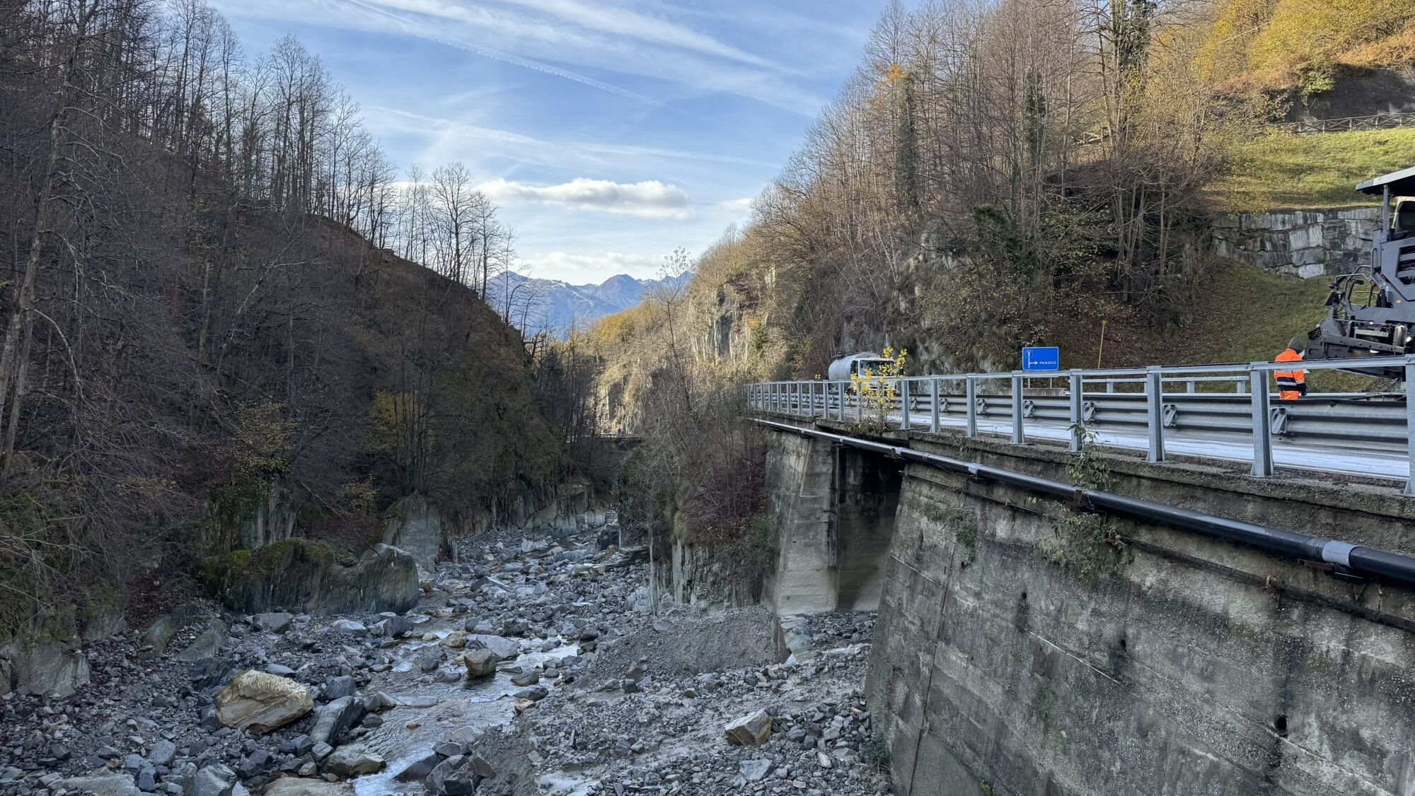
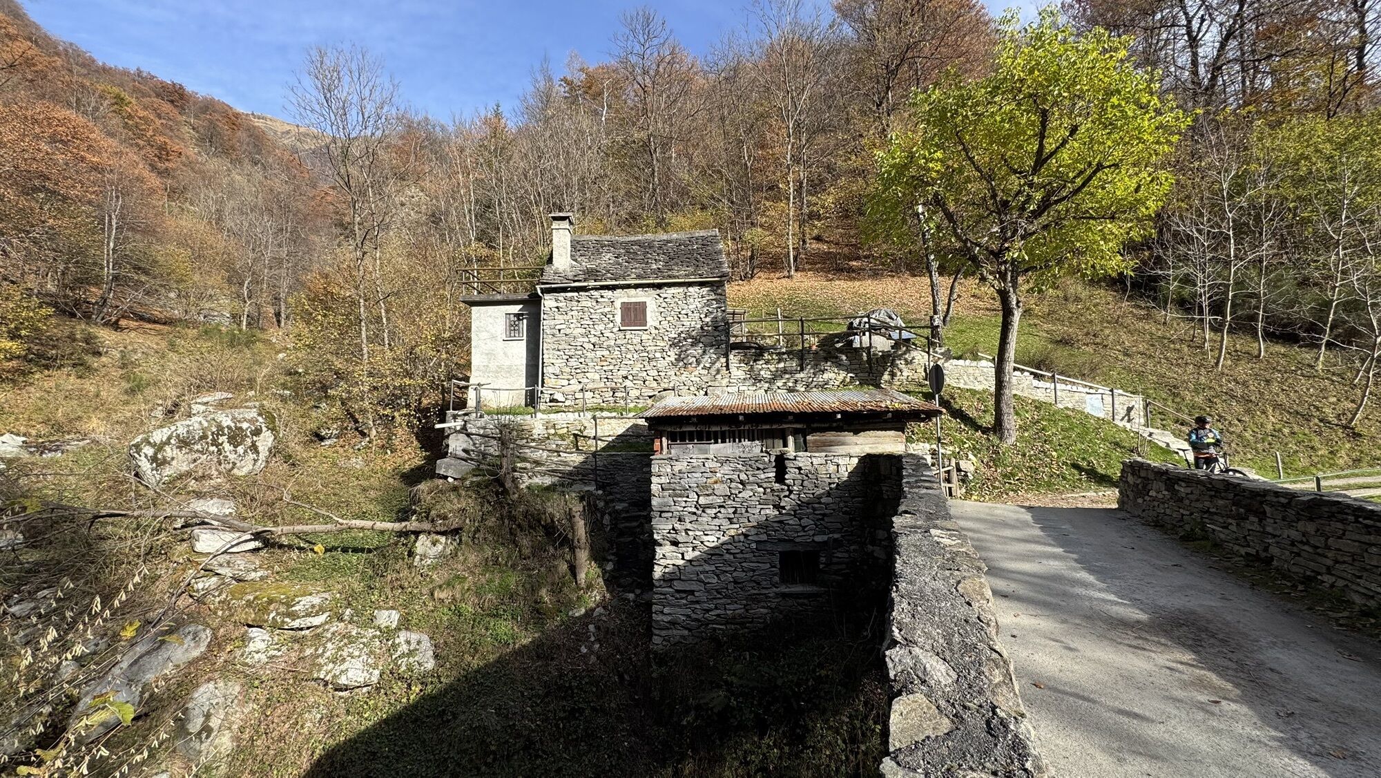
From Masera railway station, follow the main road (pavement) to the large car park in front of the Janni e Ceschi hardware store. You then take a steep path that climbs up into the woods to come out on the wide ridge of Pello characterised by large expanses of Ossola vineyards. Following the signs, you reach Trontano with its beautiful parish church. From Trontano follow the signs for the "Mulini del Graglia", a group of 6 restored water mills. Just before the mills there is a splendid stone bridge with a small chapel in the middle. From the mills the beautiful mule track continues halfway up the hillside until it comes out in a large car park below Verigo with a beautiful chapel that was recently restored by the Valgrande National Park with frescoes by Borgnis. You then take the long forest track that leads to the characteristic village of Marone. Go down to the bridge of Ca' Turbin, cross the main road before the new tunnel and go up to Bondi and Mozzio. An easy dirt track leads from here to Coimo, the village where an excellent rye bread (pane di Coimo) is produced. Once in the village you go up to the upper part and continue on the cycle/pedestrian path to Sasseglio, entering the large plateau of Valle Vigezzo. Cross Druogno and continue along secondary roads with little traffic to Buttogno and Crana where there is the Oratory of San Rocco (splendid 16th century frescoes by "Legnanino") and the Church of San Giovanni Evangelista (the dome is one of the best works by Giuseppe Mattia Borgnis). You shortly go down from Crana to Santa Maria Maggiore.

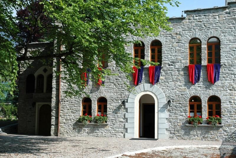
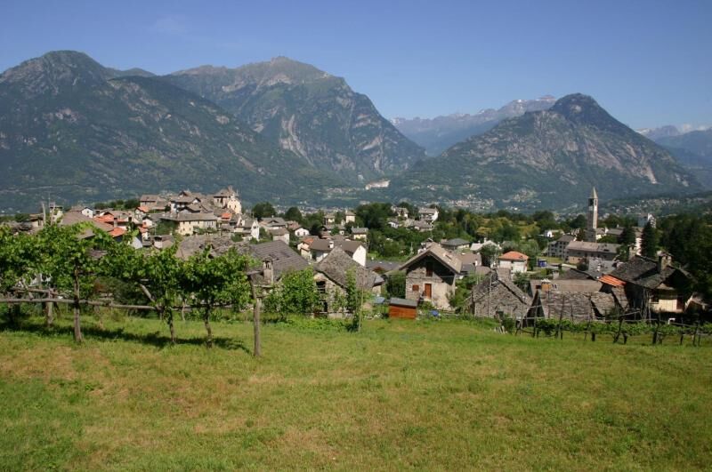
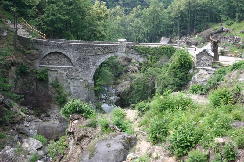
The 10th century Parish Church della Nativit di Maria (the Nativity of Mary) in Trontano. The Mulini del Rio Graglia, a complex of 6 restored water mills. The beautiful recently restored chapel of Verigo with frescoes by Borgnis. The characteristic village of Marone. Coimo, where an excellent rye bread (pane di Coimo) is produced. The Oratory of San Rocco (splendid 16th century frescoes by "Legnanino") and the Church of San Giovanni Evangelista (the dome is one of the best works by Giuseppe Mattia Borgnis) in Crana.
Popularne wycieczki w okolicy
Street of the Market Domodossola - Locarno
średnidługodystansowy szlak pieszy 54,6 km- 5,0
Via Geoalpina | Stage 6 Alpe La Colma - Vogogna
średniWędrówka 13,2 km - 4,0
Mt Mater
ciężkiWędrówka 6,98 km Stockalper Street | Stage 4 Frazione Graniga - Domodossola
średniWędrówka 14,3 kmAlpe Faievo - Monte Tignolino - Alpe Faievo
średniWędrówka 15,6 km- 5,0
Iselle - Rifugio Crosta - Varzo
średniE-MTB 31,9 km - 4,0
Via dello Sbrinz - Via del Gries | Stage 1 Crevoladossola - Baceno
średniWędrówka 14,9 km Via Geoalpina | Stage 5 Alpe Scaredi - Alpe La Colma
średniWędrówka 12,0 kmVia Geoalpina
ciężkidługodystansowy szlak pieszy 90,8 kmIselle - Domodossola
średniMountainbike 55,6 km
Wędrówki i tropienie


Nie przegap ofert i inspiracji na następne wakacje
Twój adres e-mail została dodana do listy mailingowej.