


GTL mountain biking | Stage 8 Murazzano - Bossolasco
From the center of Murazzano, take the state road on the right and then immediately take the crossroads for the Safari Park on the left and, shortly after, after passing the peak, find on the right our...
From the center of Murazzano, take the state road on the right and then immediately take the crossroads for the Safari Park on the left and, shortly after, after passing the peak, find on the right our grass and cobblestone ridge route that runs along the ridge of the Passo della Case. The road, majestic in terms of panorama and altitude, proceeds initially on flat ground and then sharply downhill to the Pass, where it rejoins the state road for the section of the crossroads and immediately turns left again, continuing along the crest in the woods (pay attention to the next crossroads: go straight while remaining on the ridge), up to the Basic2 industrial plant. Leaving the factory on our left, we cross the asphalt courtyard to continue up to the church of San Rocco, from where we go up the watershed again to finally reach Bossolasco. At the end of the road, turn left and take the main street near the church of Santa Maria degli Angeli, from which you practically enter the village.
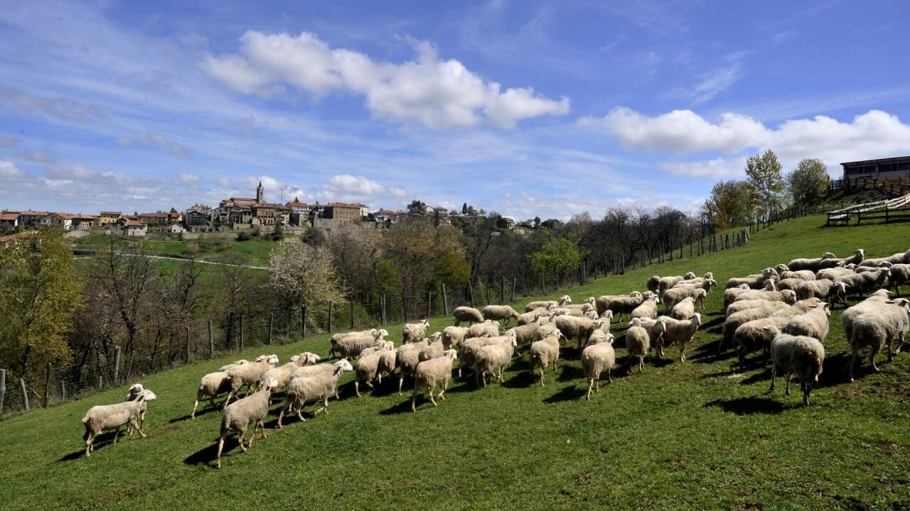
Bossolasco is the town of painters (the group of Six) and their historic insignia. Fenoglio, like half of Alba, came there on holiday in the summer, while in the winter the only ski resort in the Langhe was located here!The shelter retains its oval shape, but in place of the lost castle there is today the seventeenth-century Palazzo Balestrino, notable late Renaissance architecture which reaffirmed the power and influence that the Del Carrettos always had on the place. Here in the sixties, around the Bellavista hotel of the legendary Demetrio Veglio, many of the most important Italian painters gathered, from Menzio to Fontana from Casorati to Paulucci. Some curiosities: the town hall is located in the former brotherhood, while, opposite, the headquarters of the Unione Montana preserves all the coats of arms of the Alta Langa villages.
Popularne wycieczki w okolicy
-
The hills of Count Cavour
światłoDroga rowerowa 35,8 km -
5,0
The Ascents of Champions
ciężkiDroga rowerowa 114,2 km -
Mombarcaro-San Benedetto Belbo Rundweg
światłoWędrówka 11,3 km -
Confraternity of San Michele - Serravalle Langhe
średniWędrówka 14,6 km -
Gran Traversata delle Langhe - GTL
średniWędrówka 129,2 km -
Bar To Bar in mountain bike
ciężkiKolarstwo długodystansowe 68,6 km -
BTB - Bar To Bar - Stage 5A: Serralunga d'Alba - Monforte d'Alba
średniWędrówka 10,8 km -
Sentiero Tanaro: Tappa 1 Dogliani (Centro Storico) - Clavesana (Loc. S. Giuseppe)
światłoMountainbike 12,1 km -
Sentiero Tanaro: Tappa 3 Castellino Tanaro - Sale S. Giovanni
średniMountainbike 24,9 km -
Sentiero Tanaro: Tappa 2 Clavesana (Loc. S. Giuseppe) - Castellino Tanaro
światłoMountainbike 16,2 km
Wędrówki i tropienie


Nie przegap ofert i inspiracji na następne wakacje
Twój adres e-mail została dodana do listy mailingowej.