







Sentiero Tanaro: Tappa 3 Castellino Tanaro - Sale S. Giovanni

Leaving Castellino Tanaro you descend into the Argiolo basin to reach the height of the Tanaro; then go up the other side to reach Borgata Francolini and continue with a panoramic path along the long ridge...
The itinerary was promoted within the platform as part of the PITEM M.I.T.O. project. – Outdoor OFF - Interreg Italy-France Cross-Border Cooperation Program ALCOTRA 2014-2020.

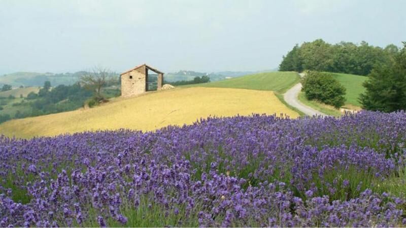
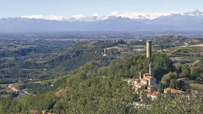

Leaving Castellino Tanaro, descend into the Argiolo basin to reach the level of the Tanaro; then climb the other side to reach Borgata Francolini and continue with a panoramic path along the long ridge connecting the municipalities of Torresina, Paroldo, and Igliano. Reaching the ridge above Paroldo, the path has a short up-and-down and then finally descends to Sale Langhe.
Suitable equipment and possibly a windbreaker jacket are recommended
Refreshment points and hospitality facilities along the route
In Sale San Giovanni, during the lavender and medicinal herbs blooming period (June - July), the municipal roads leading to the crops will be closed to motor vehicles, except authorized ones and disabled people with a special car sticker, and will be accessible on foot and by bicycle
Sale San Giovanni: between June and July, a walk among the lavender fields and a visit to the village and the Prandi Arboretum

Popularne wycieczki w okolicy
Mombarcaro-San Benedetto Belbo Rundweg
światłoWędrówka 11,3 kmFrom Mondovì to Vicoforte, among artistic masterpieces
średniMountainbike 31,1 kmGran Traversata delle Langhe - GTL
średniWędrówka 129,2 kmConfraternity of San Michele - Serravalle Langhe
średniWędrówka 14,6 kmSentiero Tanaro: Tappa 1 Dogliani (Centro Storico) - Clavesana (Loc. S. Giuseppe)
światłoMountainbike 12,1 kmSentiero Tanaro: Tappa 6 Nucetto - Priola (Borgata Casario)
światłoJazda na rowerze 16,5 kmSentiero Tanaro: Tappa 2 Clavesana (Loc. S. Giuseppe) - Castellino Tanaro
światłoMountainbike 16,2 kmGTL - Great Crossing of the Langhe by mountain bike
średniMountainbike 84,1 kmGTL | Stage 3 Bergolo - Prunetto
średniWędrówka 9,13 kmCasa Lanni biketour met gasten
średniE-Bike 33,6 km
Wędrówki i tropienie


Nie przegap ofert i inspiracji na następne wakacje
Twój adres e-mail została dodana do listy mailingowej.





