



Historic Mountain Paths | Bardonecchia - Sommeiller Road

Poziom trudności: S0
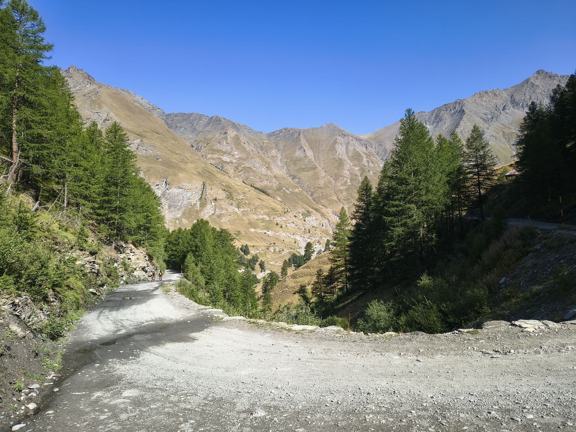
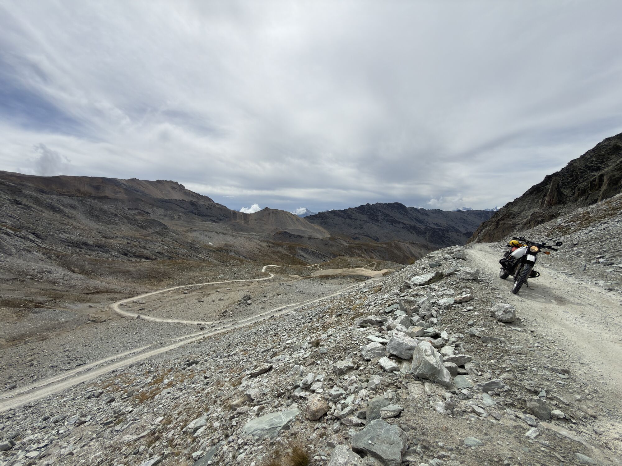
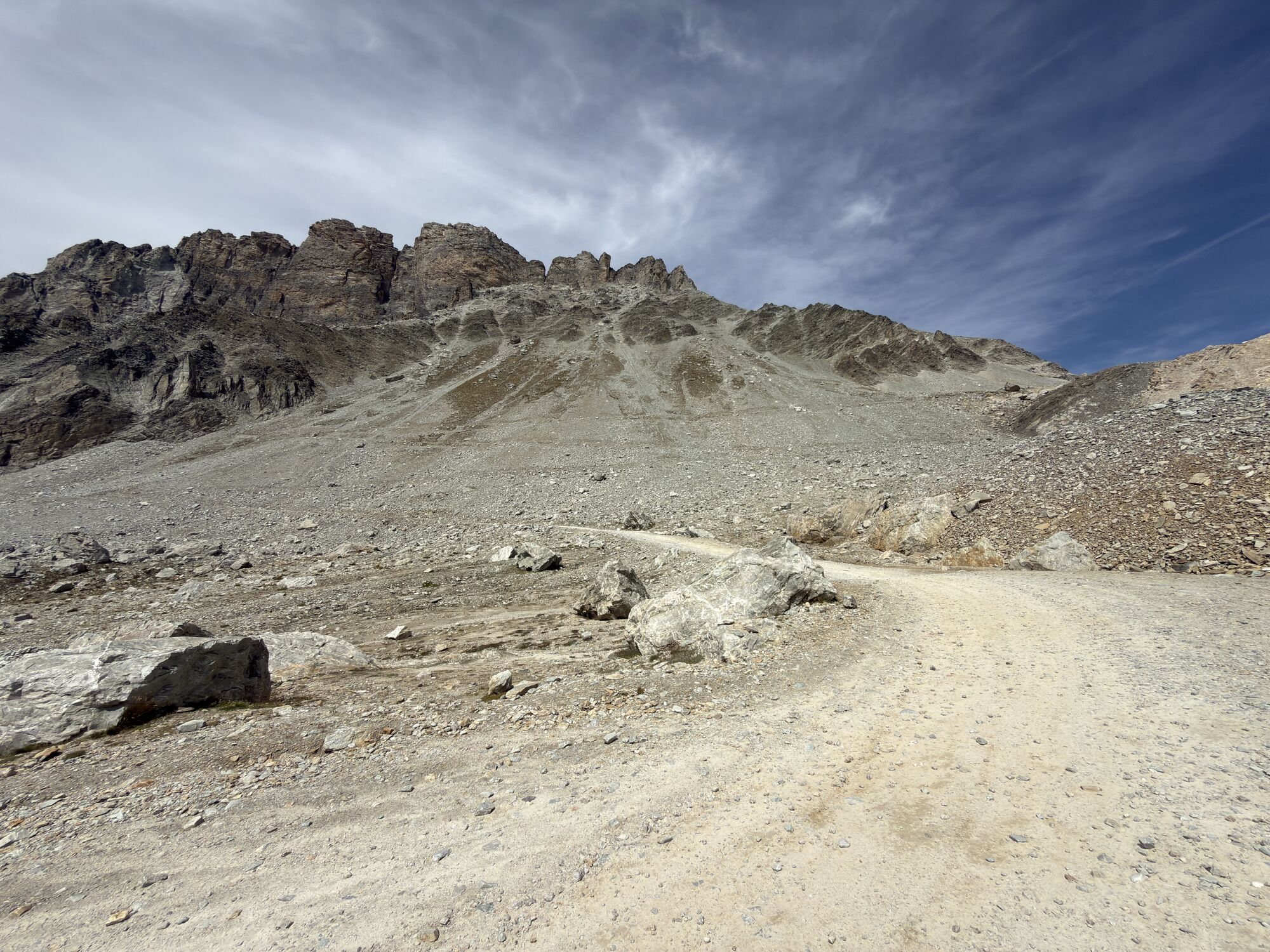
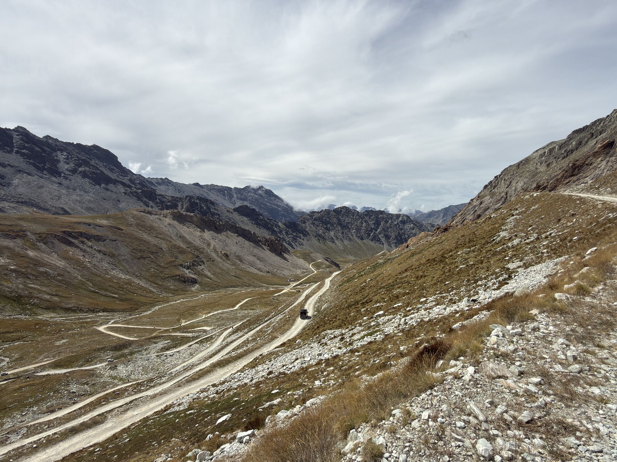
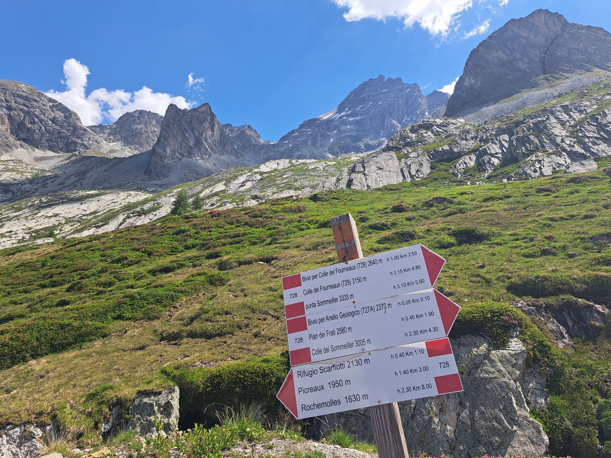

The road was built between 1962 and 1963 as an extension of the route that already reached Rochemolles to allow summer skiing on the glacier, which is now no longer active. The route is fully passable...
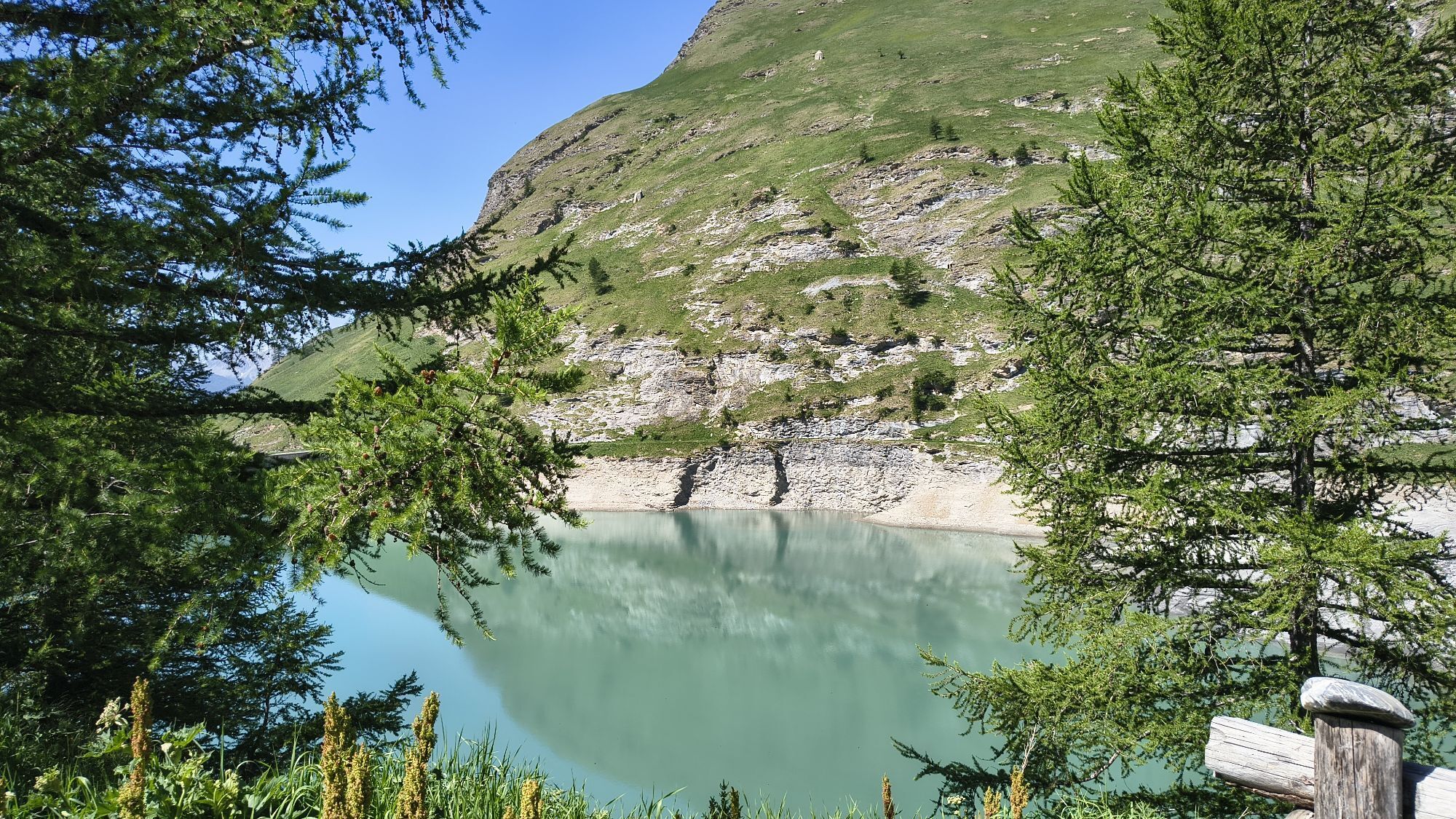
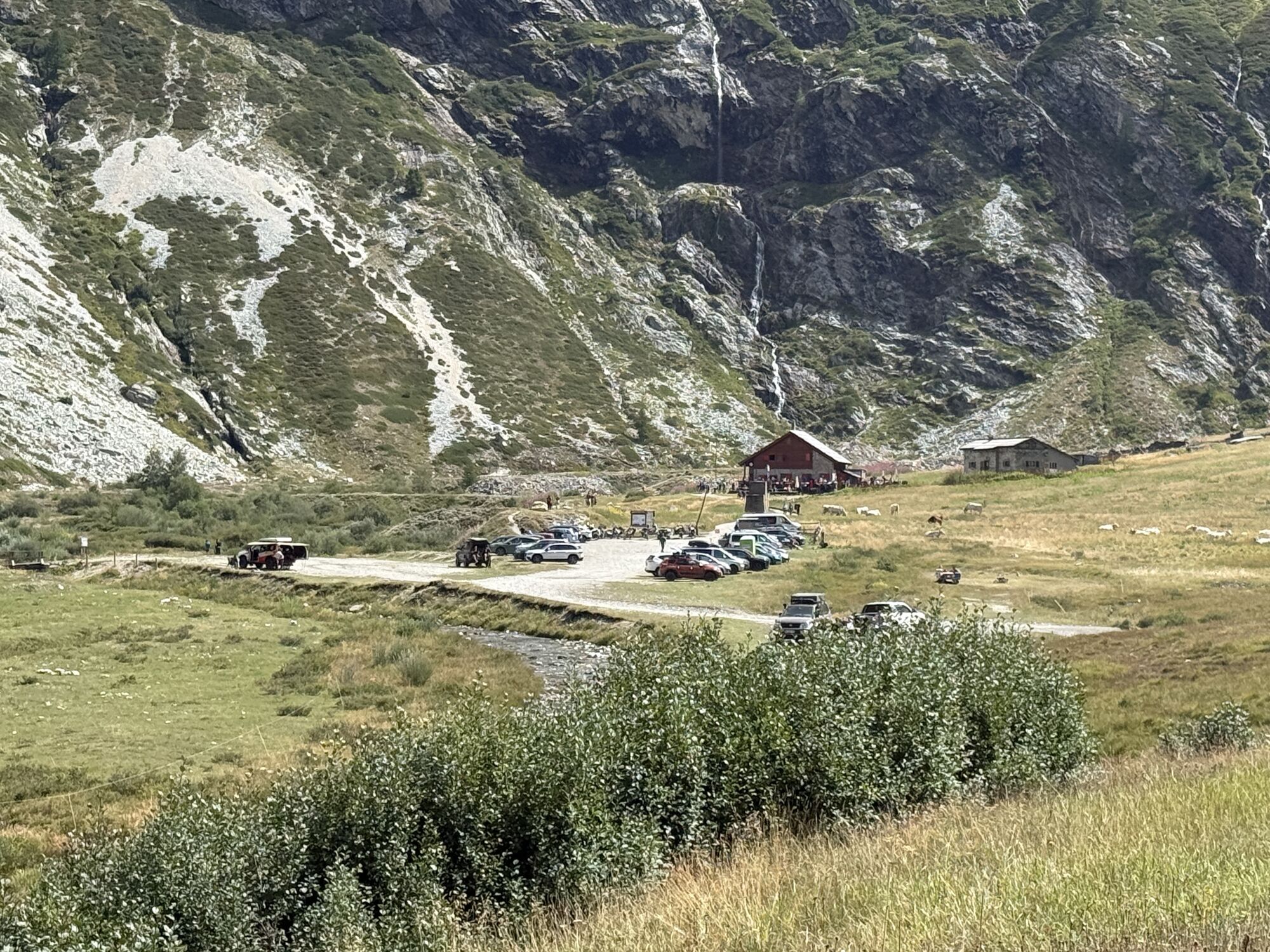
It winds for 30 km, connecting the town of Bardonecchia (1,300 m) to the 3,009-meter pass, making it one of the highest motorable roads in Europe. The route begins by ascending the Rochemolles Valley, where the asphalt turns into dirt after the Alpine village of the same name. Along the ascent, you'll pass the Rochemolles Dam, an imposing artificial reservoir nestled between peaks over 3,000 meters high, such as the majestic Punta Sommeiller (3,333 m) and the elegant pyramid of Pierre Menue (3,506 m), the highest peak in the area. Continuing beyond the Scarfiotti Refuge, the landscape changes. Here, among the foaming waterfalls of the Grange du Fond plateau, the flora offers the spectacle of the "Rousse": expanses of rhododendrons that in bloom paint the slopes red, before the environment transforms into the evocative lunar scenery of the Pian dei Morti.


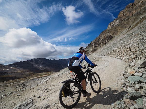

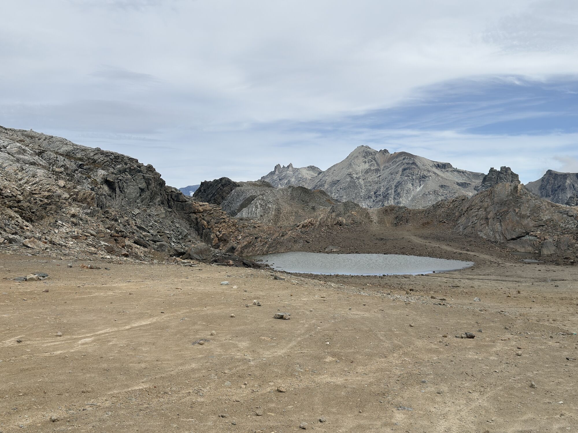
The road starts from the market square of Bardonecchia and extends for about 26.5 km with a total elevation gain of about 1700 m. The first section from Bardonecchia to the Rochemolles hamlet (about 20%) is paved. After passing the dam, you reach Grange du Fond, where the Scarfiotti refuge is also located, in the middle of a plateau surrounded by steep slopes and waterfalls; here the road becomes steeper and, after conquering the pass at 2,993 meters, it ends near a small lake beyond which you can overlook the natural amphitheater of mountains on the French side. The return is by the same ascent route.
Tak
Tak
Note for cyclists and hikers: In keeping with the principles of slow and sustainable tourism, motorized traffic is completely prohibited every Thursday. This initiative allows mountain bikers and hikers to enjoy the absolute silence and pure Alpine air in complete safety.
A32 Turin - Bardonecchia motorway, Bardonecchia exit or State Road 24: Turin - Oulx and then State Road 335: Oulx - Bardonecchia. Once you reach Bardonecchia, take provincial road 235 which enters the Rochemolles Valley.
You can reach Bardonecchia by train from Milan in just over 2 hours and from Turin in 1 hour and 15 minutes. The station is also connected to Paris/Lyon via TGV and Frecciarossa.
Parking is available at the entrance to the Rochemolles hamlet, in Picreaux, near the Scarfiotti Refuge and at Colle del Sommeiller. For mountain bike rides, parking is available in Piazza Statuto (except on Saturday mornings, which is market day).
S0
It's not just a scenic route, but a place of sporting history and epic challenges:
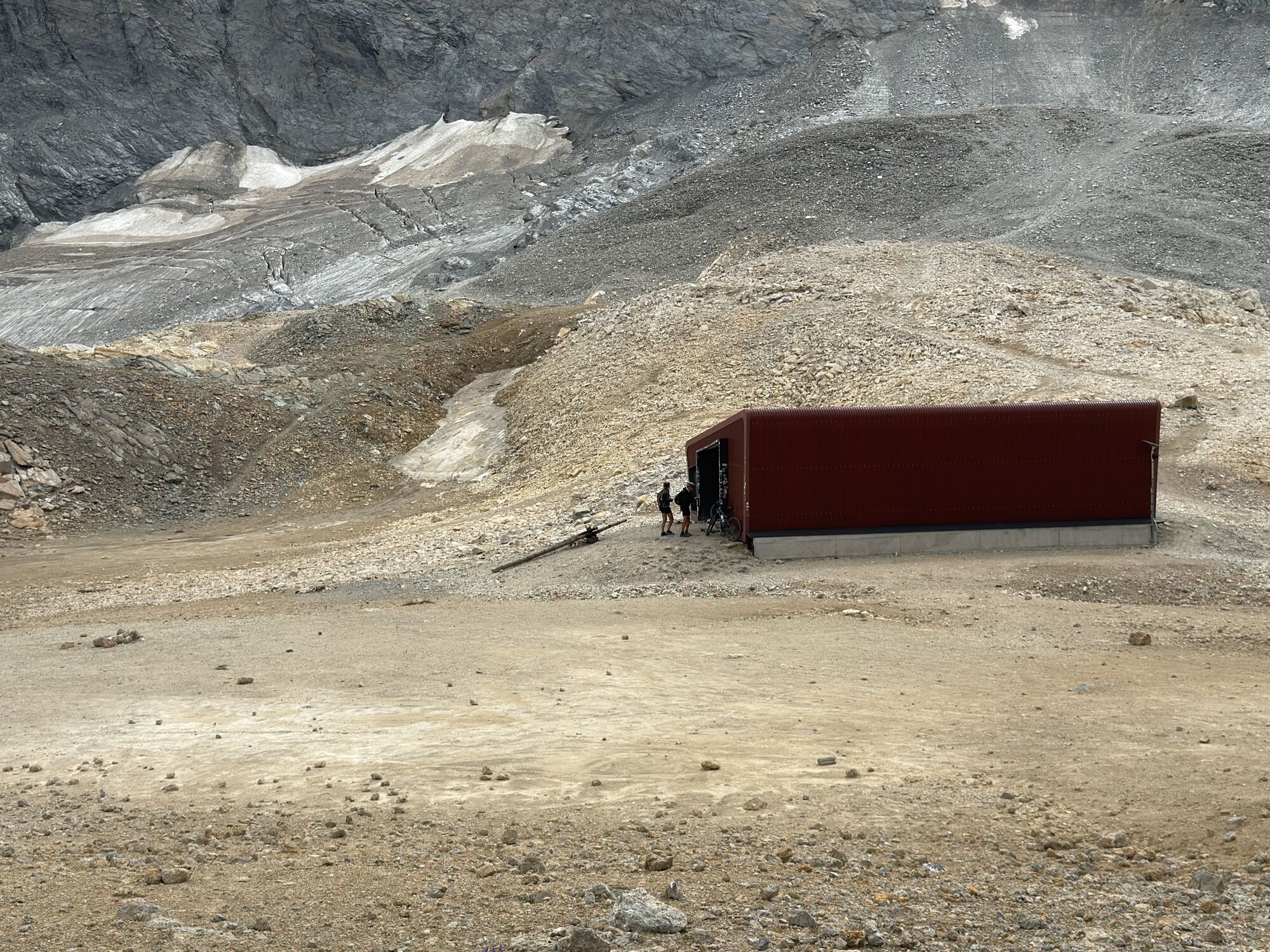
Skiing: Until the 1980s, the Sommeiller Glacier was a lively summer ski resort. Even today, near the glacial lake and bivouac, you can still see traces of that glorious past that made this peak a pioneering destination for off-season winter sports.
Events: Every year, the pass hosts the famous "Stella Alpina," Europe's highest international motorcycle rally, which draws motorcyclists from every continent in a celebration of passion and endurance.
MTB and Off-Road: The climb, characterized by a rocky surface and technical switchbacks in the final stretch (Pian dei Frati and Lago Pataré), tests the fitness of bikers and off-road enthusiasts, rewarding them with an unparalleled high-altitude panorama.
Tourist Services
E-bike and MTB rental and repair shops in Bardonecchia: turismotorino.org
Sport fishing: Rochemolles Valley lake and stream: turismotorino.org
Where to eat:
Scarfiotti Refuge: overnight stay and refreshmentsRestaurants: L'Fouie in Rochemolles and Da Silvio in IssardRefreshments, bars, and restaurants in Bardonecchia
Where to Sleep
Overnight stays in the Rochemolles Valley and Bardonecchia: turismotorino.org
Overnight stays in bike-friendly accommodations: turismotorino.org
Kamery internetowe z trasy



Popularne wycieczki w okolicy
-
5,0
BARDONECCHIA Colle Sommeiller
średniMountainbike 25,4 km -
4,5
BARDONECCHIA Pian del Colle - Valle Stretta
średniRakieta do chodzenia po śniegu 5,02 km -
5,0
BARDONECCHIA Forte Jafferau Loop
ciężkiMountainbike 36,8 km -
4,7
BARDONECCHIA Col des Acles - Passo della Mulattiera
średniWędrówka 6,23 km -
4,5
BARDONECCHIA Walter Bonatti Path - Grange della Rho
średniWędrówka 6,06 km -
5,0
BARDONECCHIA Decauville
średniWędrówka 7,29 km -
BARDONECCHIA Monte Jafferau
ciężkiWędrówka 11,6 km -
3,5
BARDONECCHIA Sentiero dei Cosetti by Luciano Ferraris
światłoWędrówka 3,24 km -
BARDONECCHIA Lago Verde
światłoMountainbike 10,7 km -
4,5
BARDONECCHIA Forte Foens
średniWędrówka 3,83 km
Wędrówki i tropienie


Nie przegap ofert i inspiracji na następne wakacje
Twój adres e-mail została dodana do listy mailingowej.


