




Karhulenkki, Padasjoki
Karhulenkki gets its name from the fact that it climbs Karhumäki around the halfway point of the route. Along the route there are about 10 information boards with themes of old proverbs about daily chores...
Karhulenkki gets its name from the fact that it climbs Karhumäki around the halfway point of the route. Along the route there are about 10 information boards with themes of old proverbs about daily chores and work. Evo's nature is generally dry pine forest characterized by the abundance of small lakes and ponds. The area's ridge landscape is a result of the Ice Age and its height is at most about 160 meters above sea level. In winter, moose roam the forests and occasional sightings of the area's emblem animal, the lynx, are made. The area also has abundant birdlife, and migratory birds such as swans sometimes stop at Evo during their migration.

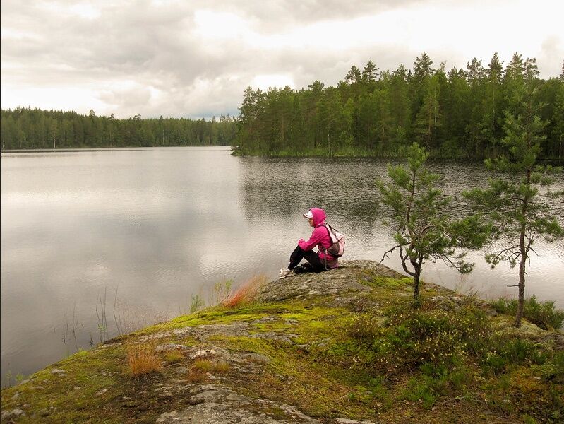
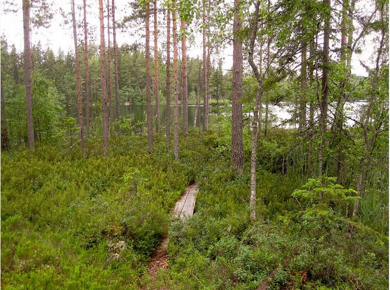

Karhulenkki starts from the Kelkutteen parking area at the same spot as Savottapolku. You follow Savottapolku for about one kilometer, until Karhulenkki finally diverges after the ridge landscapes to its own route. The beginning section of the route passes through grass and has small stumps on the path. After two and a half kilometers, the route is very easy to walk. The final part of the route passes through rockier terrain and ends with a difficult descent. The Karhumäki campfire site is located in the Ruplahti area of Iso-Tarus lake, where it is nice to spend a comfortable day eating snacks and enjoying the silence of nature.
Tak
Tak
Footwear should be chosen according to the weather, but hiking boots are recommended. At the starting point in Kelkutte, there is a campfire site with firewood and a well. Please note that there may be some dead zones in the Evo area. It is good to have a map and compass with you. Download the 112Suomi app to your phone and a map app if needed.
The route is easy to walk, part of it passes through rockier terrain and at the very end there is a difficult descent. In rain, the roots and rocks on the path can be slippery. The moderately demanding route has some challenging parts, such as steep hills.
Karhulenkki begins at the Kelkutteen parking area. Kelkutteen parking area: Kelkutteentie 491, 17470 Padasjoki.
There is free parking at the starting point of Karhulenkki.
Kelkute is located in the Evo hiking area, which is one of Southern Finland's largest forest and hiking areas. Evo offers hiking trips for a day or longer. Learn more about the area: Evo hiking area brochure
Tips and advice for hikers: Hiking ABC
The Tarus hiking area is owned and maintained by the city of Hämeenlinna.
At the starting point, there is the Kelkutteen logging cabin available for rent. Another rentable cabin, Kristianin torppa, is located along the Savottapolku route. Cottages are rented by the city of Hämeenlinna.
If you want to make a longer trip, you can continue along the Päijänne-Ilves route onto the trails of the neighboring Evo hiking area.
Popularne wycieczki w okolicy
-
Aurinko-Ilves hiking route, Asikkala
średnidługodystansowy szlak pieszy 30,6 km -
Kelvenne ridge trail, Päijänne National Park
średniWędrówka 9,40 km -
National park paddling to Kelvente, Padasjoki
średniKajak / Canoe 30,0 km -
Päijänne-Ilves, Padasjoki
średniWędrówka 12,9 km -
Little Lake Adventure, Padasjoki
średniKajak / Canoe 9,11 km -
Päijänne-Ilves MTB, Padasjoki
średniMountainbike 12,7 km -
Iso-Äiniö Nature Trail, Asikkala
światłoTrasa tematyczna 0,77 km -
Savottapolku, Padasjoki
średniTrasa tematyczna 4,39 km -
Evo, Evo Centre trail, easy
światłoWędrówka 3,83 km -
Evo hiking trail, difficult
Wędrówka 15,1 km
Wędrówki i tropienie


Nie przegap ofert i inspiracji na następne wakacje
Twój adres e-mail została dodana do listy mailingowej.





