





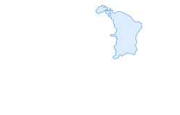

From Vättis to the Walser settlement St. Martin
The old Walser path from Vättis to the Gigerwald Dam crosses a small natural bridge in the Gwölb. Through mixed forest, we reach the Isig Brugg, where we cross the Tamina. In open forest meadows over the...
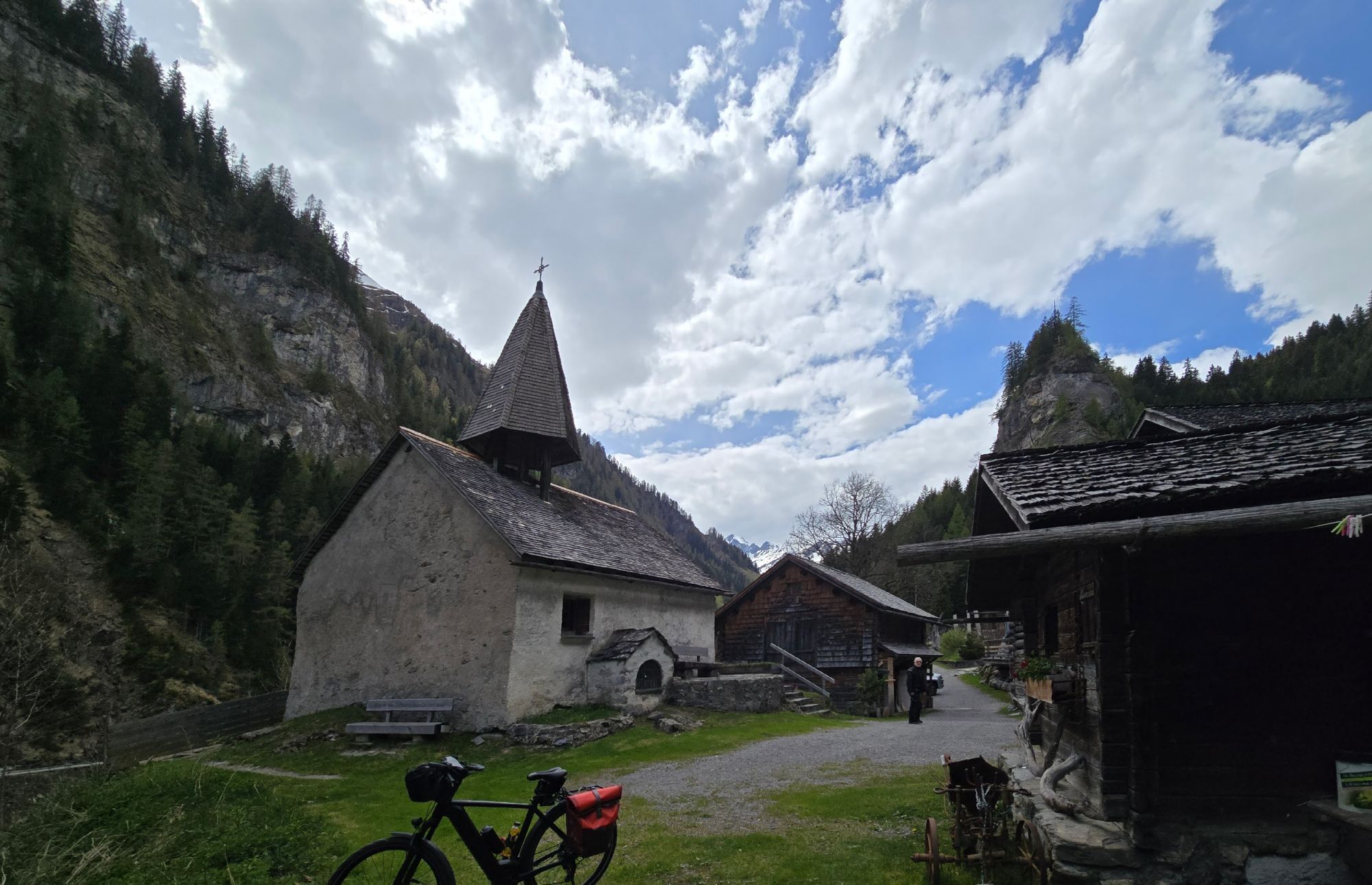
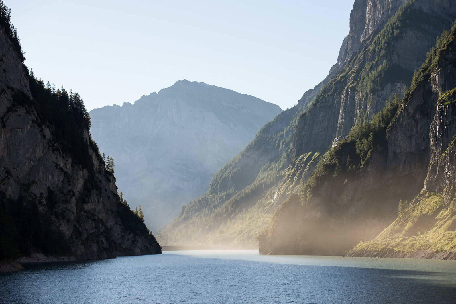
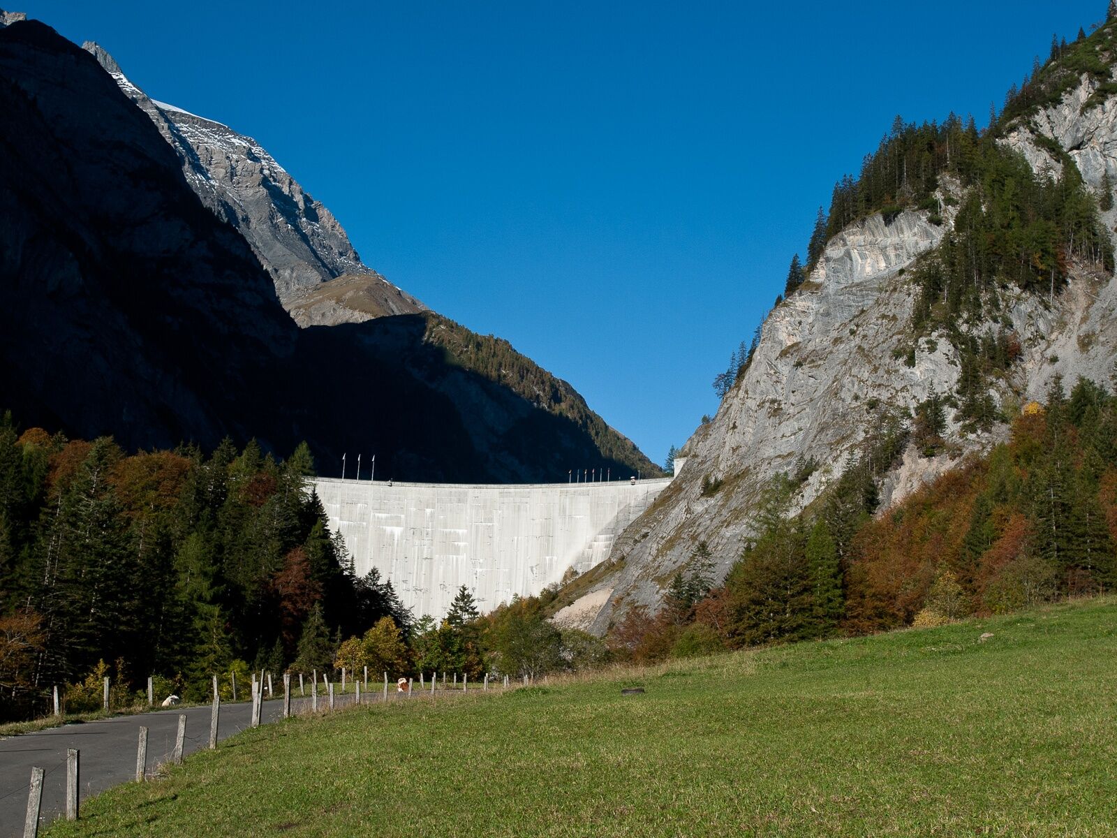
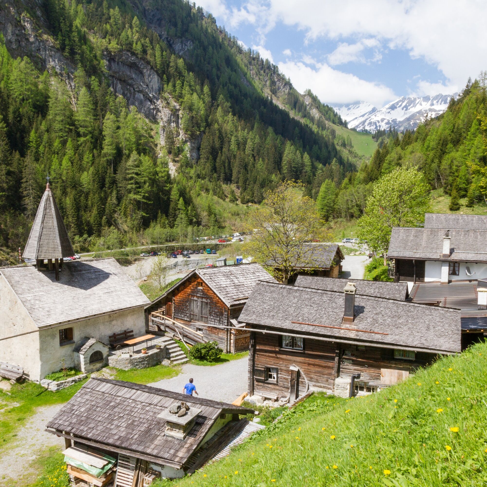
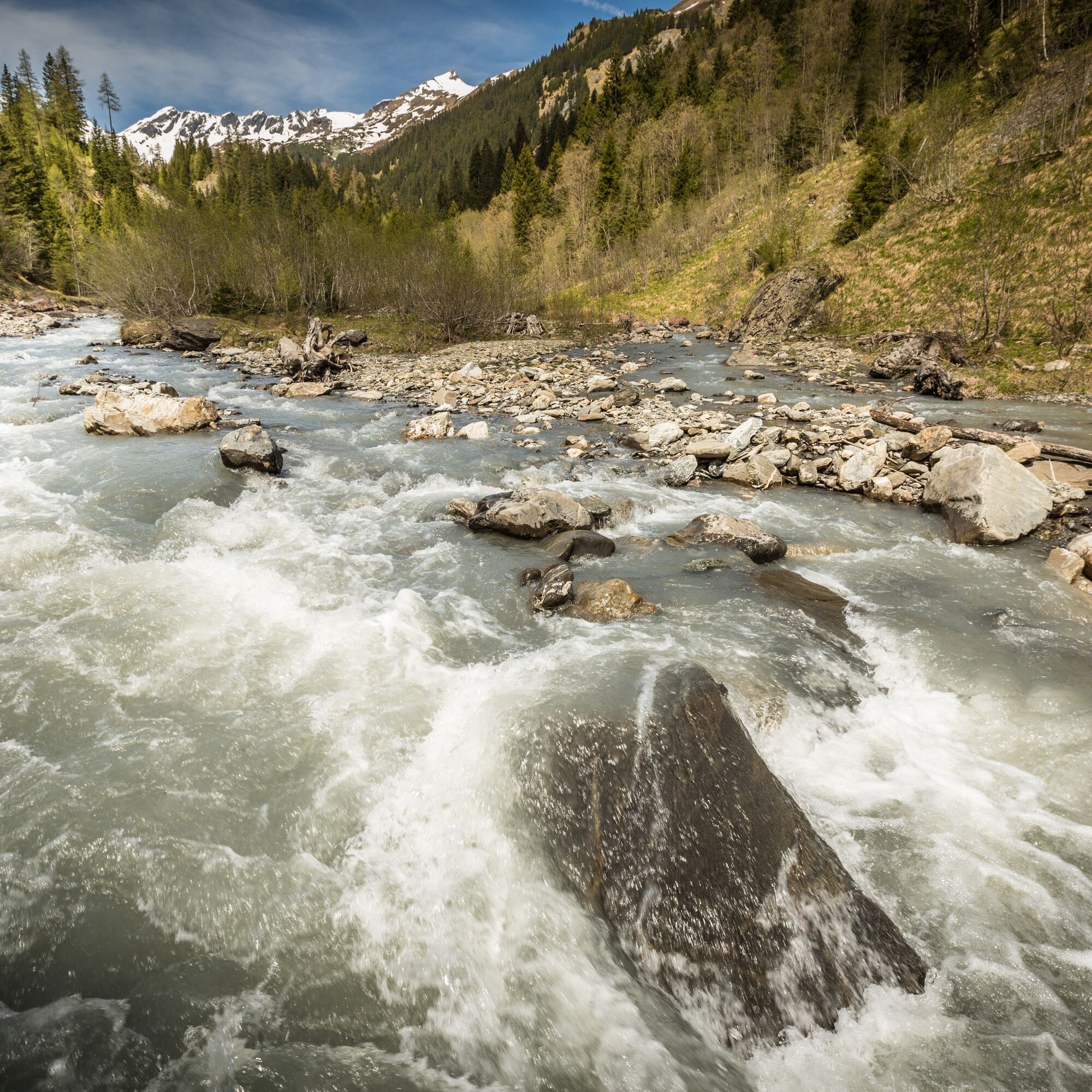
The old Walser path from Vättis to the Gigerwald Dam crosses a small natural bridge in the Gwölb. Through mixed forest, we reach the Isig Brugg, where we cross the Tamina. In open forest meadows over the Höhi to the Gigerwald Dam, wildlife can often be observed. The steep rock walls with waterfalls on both sides along the reservoir are spectacular. A visit to the charming Walser settlement of St. Martin with its small church from the year 1321 at the end of the lake is a must.


Vättis – Gwölb – Isig Brugg – Luterazug – Höhi – Gigerwald Dam – St. Martin
Tak
Normal hiking equipment. Depending on the weather, good footwear (hiking boots) is recommended, otherwise slightly lighter but still closed shoes are sufficient for the route.
From the Gigerwald dam to St. Martin, you walk on the main road. Please watch out for other path users.
Motorway exit Bad Ragaz. In the village center of Bad Ragaz, turn onto Bergstrasse towards Pfäfers/Valens and drive either via Pfäfers or via Taminabrücke and Valens to Vättis.
By train to Bad Ragaz station. Then by PostBus to Vättis.
Parking is available opposite the gas station in the village center (Calfeisenstrasse) or at the Vättis village bus stop.
Heidiland Tourism, Bad Ragaz information office
T +41 81 300 40 20
www.heidiland.com
The cozy lounge in the restaurant at St. Martin invites you to relax with a drink or a meal.
 Uzyskaj wgląd
Zawsze na żywo z ponad 9 500 kamer internetowych. bergfex Jako użytkownik Pro, możesz teraz zobaczyć odpowiednie kamery internetowe dla wielu wycieczek w aplikacji wycieczki od. Pozwala to na bezpośredni podgląd aktualnych warunków.
Uzyskaj wgląd
Zawsze na żywo z ponad 9 500 kamer internetowych. bergfex Jako użytkownik Pro, możesz teraz zobaczyć odpowiednie kamery internetowe dla wielu wycieczek w aplikacji wycieczki od. Pozwala to na bezpośredni podgląd aktualnych warunków.

Popularne wycieczki w okolicy
-
4,7
5-Seen Wanderung am Pizol
światłoWędrówka 10,1 km -
4,7
Tamina Gorge Circular Route
średniWędrówka 14,0 km -
4,6
Pizol - Batöni - Weisstannen
ciężkiWędrówka 11,7 km -
4,4
4-lake hike: Caumasee - Crestasee - Felsbach Gorge
średniWędrówka 12,8 km -
4,6
Pizalun circular route
światłoWędrówka 7,18 km -
4,8
Rhine Gorge Hike: Senda Ruinaulta (659)
światłoWędrówka 9,39 km -
4,8
Mountain hike to the Strudeltöpfe on Alp Mora: Bargis-Trin
ciężkiWędrówka 18 km -
4,7
The Water Trail: Trutg dil Flem 764
ciężkiTrasa tematyczna 8,56 km -
4,5
Pizol summit tour
średniWędrówka 9,28 km -
5,0
Circular hike Bettlerweg & 2-Lakes Hike Pizol
średniWędrówka 11,4 km
Wędrówki i tropienie


Nie przegap ofert i inspiracji na następne wakacje
Twój adres e-mail została dodana do listy mailingowej.





