


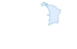

Hike around Aemelsberg Ebnat-Kappel
From Krummenau station it goes upwards through the idyllic landscape towards Wintersberg. Past beautiful farmhouses and cow pastures, then over the Bendel to Ämelsberg. On the way down over Schlatt you...
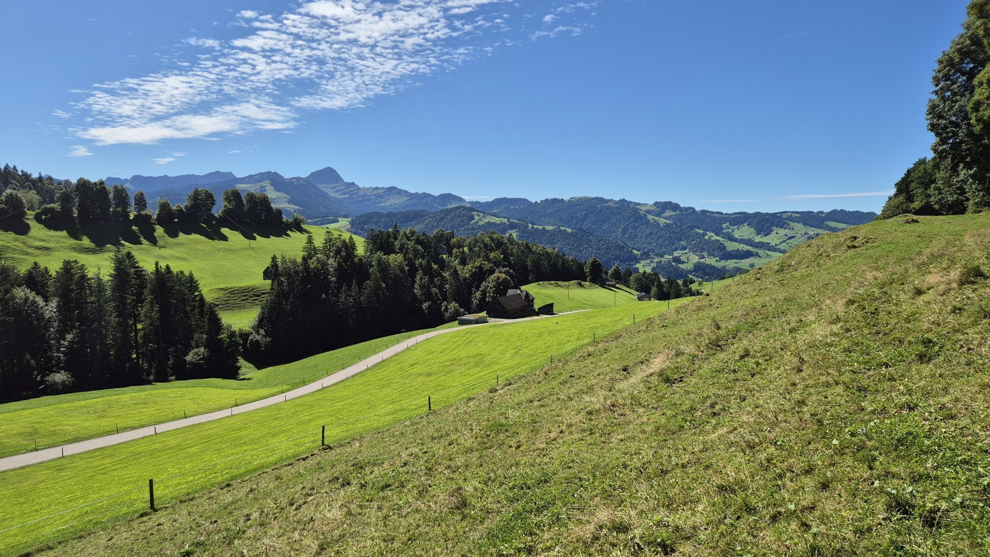
From Krummenau station it goes upwards through the idyllic landscape towards Wintersberg. Past beautiful farmhouses and cow pastures, then over the Bendel to Ämelsberg. On the way down over Schlatt you are accompanied by a wonderful view of Nesslau.

Krummenau-Wintersberg-Bendel-Ritteren-Aemelsberg-Schlatt-Nesslau
Tak
Light daypack (approx. 15 liters) with rain cover, comfortable footwear, weather-appropriate clothing, sun and rain protection, possibly provisions and drinking water,
The route is not specially signposted. Follow the signposts.
- From the Zurich metropolitan area and Central Switzerland:
Take the A3 at Reichenburg towards Rapperswil and then over the Ricken Pass to Ebnat-Kappel.
- From Eastern Switzerland:
Drive from St. Gallen on the A1 to Wil, take the Toggenburg exit. Follow the main road to Ebnat-Kappel.
- From Southern Germany:
Via Bregenz and St. Margrethen on the A13 to Haag and take the exit towards Toggenburg/Wildhaus. Or via Konstanz to Wil, then take the Toggenburg exit and follow the main road to Ebnat-Kappel.
By train to Ebnat-Kappel station.
More detailed information can be found at www.sbb.ch.
Parking spaces are available at Krummenau station.
Toggenburg Tourism
Hauptstrasse 104
9658 Wildhaus
Tel. +41 71 999 99 11
info@toggenburg.swiss
With the lush flower meadows, this route is perfect for a hike in spring.
Popularne wycieczki w okolicy
- 4,8
Walensee Riviera Weesen - Quinten
średniWędrówka 10,2 km - 4,6
Weesen - Quinten - Walenstadt
ciężkiWędrówka 20,6 km - 4,6
Schwägalp - Berggasthaus Tierwies - Girenspitz - Säntis
ciężkiWędrówka 4,83 km - 5,0
Schrina Alp and Cultural Trail
średniTrasa tematyczna 11,5 km - 4,6
Amden - Speer (Rundkurs)
światłoWędrówka 17,6 km - 4,8
Mountain route over Rotsteinpass to Säntis
ciężkiWędrówka 8,53 km - 4,6
Säntis
średniWycieczki górskie 17,5 km - 4,7
Jakobsbad - Berggasthaus Kronberg und Bergstation - Kronberg - Restaurant Scheidegg
średniWędrówka 12,0 km - 3,3
Winter hiking Wildhaus-Gamplüt circular route
średniWędrówka zimą 7,73 km - 4,9
Kronberg - Schwaegalp
światłoWędrówka 5,90 km
Wędrówki i tropienie


Nie przegap ofert i inspiracji na następne wakacje
Twój adres e-mail została dodana do listy mailingowej.