


Wannenberg circular hike
This circular hike, starting and ending at the hiking car park on Hasenbergstrasse about 1.5 km outside Neunkirch, takes you on remote paths through the forest area around the Wannenberg. You will reach...
This circular hike, starting and ending at the hiking car park on Hasenbergstrasse about 1.5 km outside Neunkirch, takes you on remote paths through the forest area around the Wannenberg. You will reach the Rossberghof, where a first refreshment is possible. Shortly after, you reach the Radegg ruins. The well-preserved castle ruins, with a grill area next door, invite you to linger.
The hike finally leads you to Osterfingen, where you can stop once more. The Restaurant Bergtrotte offers a nice atmosphere. Afterwards, you head back to your starting point.

Hiking car park - Rossberghof - Radegg castle ruins - Osterfingen (CH) - Hiking car park
Difficulty level: 2 (medium, very steep descent and ascent) Beauty: 3
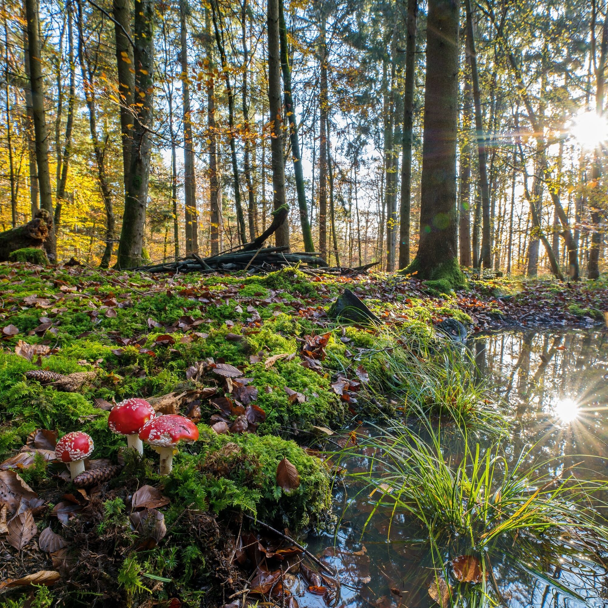
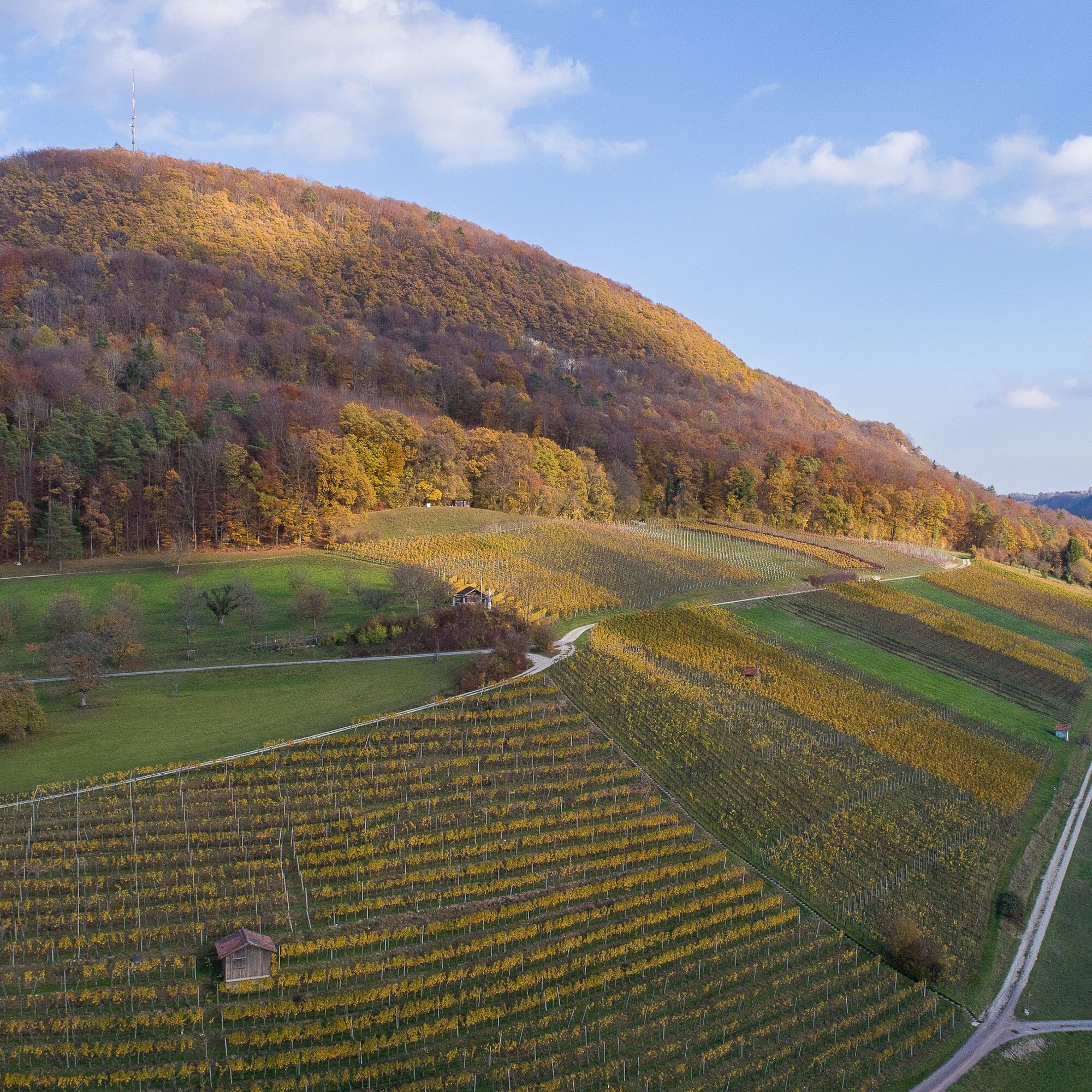
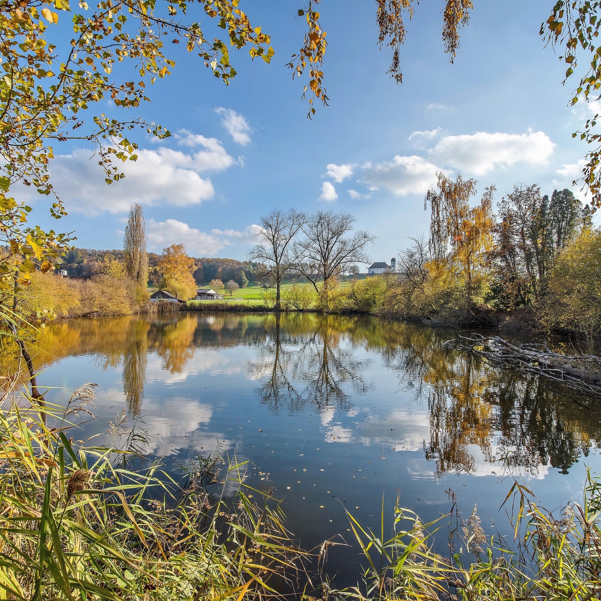
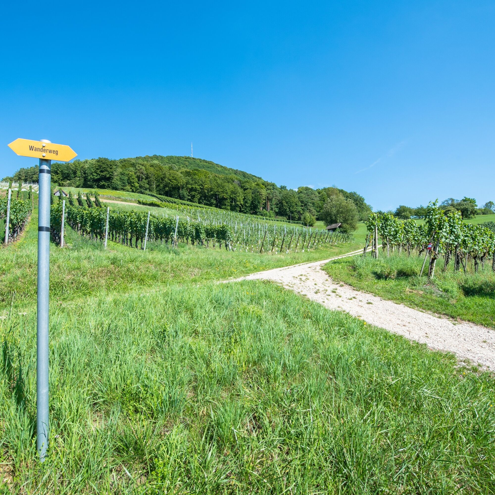
The starting point of the hike is a hiking car park about 1.5 km south of Neunkirch. We reach this car park when coming from Schaffhausen and driving through Neunkirch on the main road. After the railway crossing and the Tamoil gas station, we turn sharply left at a traffic island and then go straight towards the forest. We drive through the first wooded area, up the hill, and again over fields to the next forest entrance (passing a small house with birch trees). The entire path is marked from Neunkirch by yellow signs "Wanderweg" (hiking trail). We then start our hike on a path that leads us to the left uphill in the forest towards "Wasenhütte" or also "Wannenweg". If we always follow the yellow signs "Wanderweg" or the yellow diamond, we arrive after about 45 minutes at the "Wasenhütte". Immediately before the Wasenhütte our path turns at about a right angle to the right towards "Rossberghof". We follow the signs "Rossberghof" again out of the forest and see the "Rossberghof" in front of us, a good place to stop for refreshment (closed on Tuesday and Wednesday). After the refreshment stop, we continue straight ahead towards the "Radegg ruins". Having reached the forest edge again, we turn left, first along the forest edge for a while, then back into the forest. We follow our hiking signs (sign or diamond) again and pass a grill site after a crossroads. Right behind the grill site, we see the "Radegg" ruins, from which there is a worthwhile view into the valley. We then continue towards "Bad Osterfingen" on a clearly visible hiking trail that leads steeply downhill in switchbacks. At the valley floor, we reach a driveable path, where we go downhill to the left along the forest edge. There we cross the driveable path and walk immediately along the forest edge to the right (see signage). We first have a pure grass path and after a few meters a driveable path again (the signs guide us slightly to the right). After the next junction, we keep slightly right according to our hiking trail sign (slightly uphill). At the next junction, we turn left on an asphalted lane down to a refreshment opportunity (Bad Osterfingen). After the refreshment break, we go back up the asphalted lane to the end and then turn left in a hairpin. From here, we follow a blue sign "Circular hiking trail 1" that leads us down along the vineyards into the village of Osterfingen. When we reach the main road, we go about 10 m to the left on it and then turn right again up into the vineyards. We cross an asphalt lane, reach the wine press (Torkel), and then go slightly right uphill to the forest edge. (At the wine press do not follow the "Wanderweg" sign). As we continue uphill, we follow the blue sign "Circular hiking trail 2" and, having arrived at the top, after about 30 m do not go left into the forest but continue uphill along the forest edge. Where we see the "Wanderweg kumm u.lueg" sign for the second time, a hiking trail from Osterfingen comes up from the right. At this point, we go left into the forest towards Neunkirch (sign). After 600 to 700 m of gently downhill walking through the forest, we reach the forest edge. If we now walk to the right along the forest edge over the meadow, we arrive back at our starting point (we can also continue on the path to the house with the birches and then turn right uphill again).
Good footwear, drinks, and snacks for in between.
Partially steep ascents and descents.
Starting point for circular hike: hiking car park, Hasenbergstrasse in Neunkirch.
Route planner
The starting point hiking car park on Hasenbergstrasse in Neunkirch is not accessible by public transport.
It would be possible to travel to Neunkirch, but the car park is about 1.5 km from the center of Neunkirch. This distance must be covered on foot.
Parking spaces are available at the hiking car park.
Radegg ruins, Wilchingen
Restaurant Bergtrotte, Osterfingen
Inn and winery Bad Osterfingen, Osterfingen
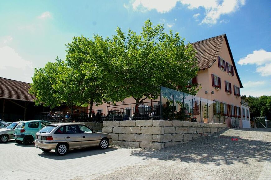
Restaurant Rossberhof, Wilchingen
Popularne wycieczki w okolicy
- 4,6
Small Rheinfall Circular Route
światłoWędrówka 3,48 km - 4,8
Rundwanderweg Rheinau
światłoWędrówka 6,85 km - 4,8
Flaach - Ellikon - Flaach
Wędrówka 12,0 km - 5,0
Circular hike over the Hinterranden
średniWędrówka 11,0 km Circular hike Schaffhausen - Rhine Falls - Schaffhausen
średniWędrówka 10,0 km- 4,5
Nature trail Merishausen: Brown route
średniTrasa tematyczna 11,4 km SwitzerlandMobility 896: Rhine Falls Circular Route
średniWędrówka 7,12 km- 5,0
Circular hike to the Judenlöcher at Hohenlupfen Castle
średniWędrówka 7,26 km - 4,0
Circular route Schleitheim - Seldehaalde - Schleitheim
Wędrówka 11,2 km In-Vino-Veritas Trail Hallau
średniTrasa tematyczna 6,94 km

Wędrówki i tropienie


Nie przegap ofert i inspiracji na następne wakacje
Twój adres e-mail została dodana do listy mailingowej.