







Circular route Schleitheim - Seldehaalde - Schleitheim
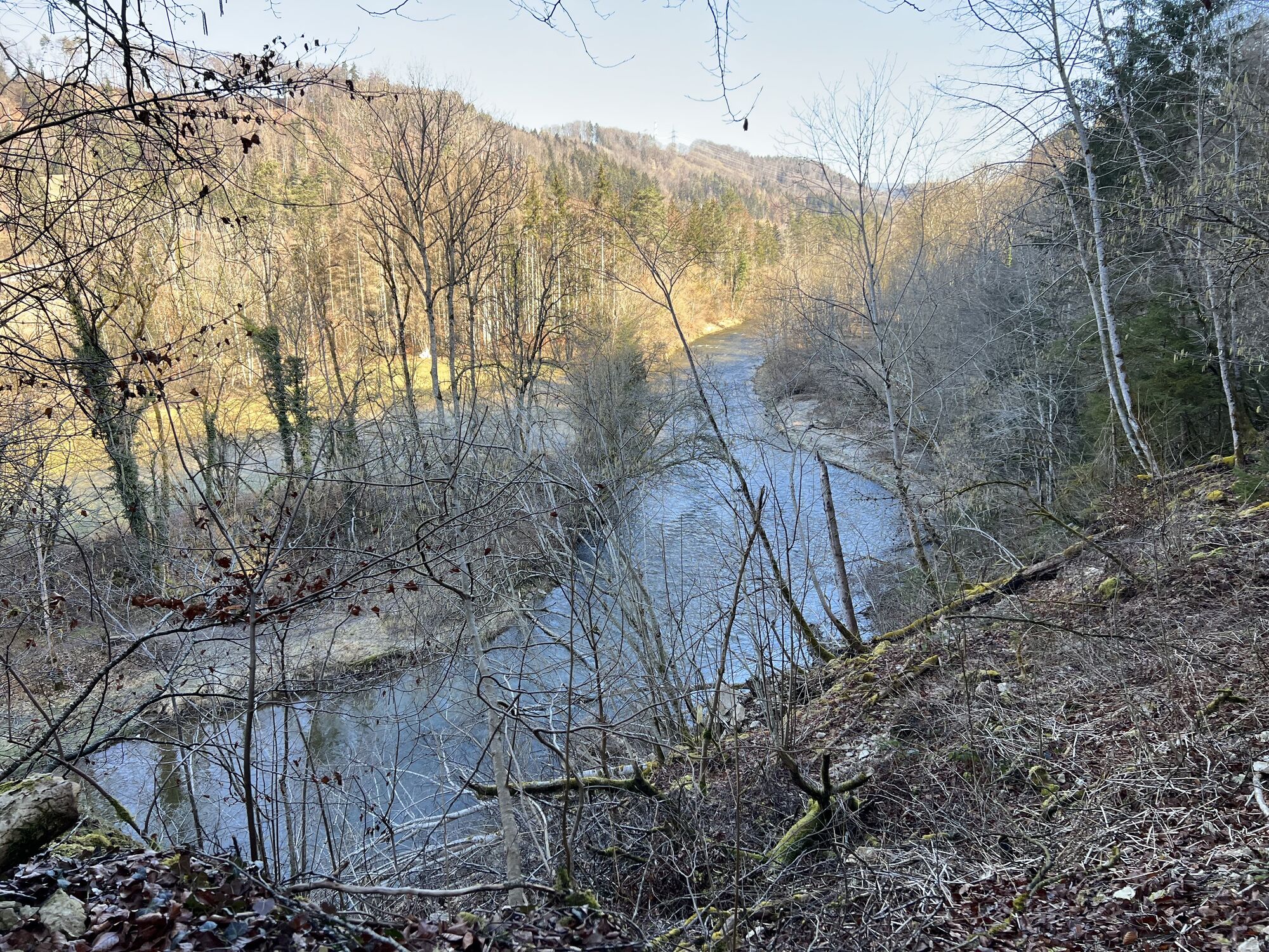

The circular route is a wonderful hike with varied nature. It takes you past the renaturalized Wutach, which invites you to linger at any time of the year. Beautiful forest sections, where thousands of...
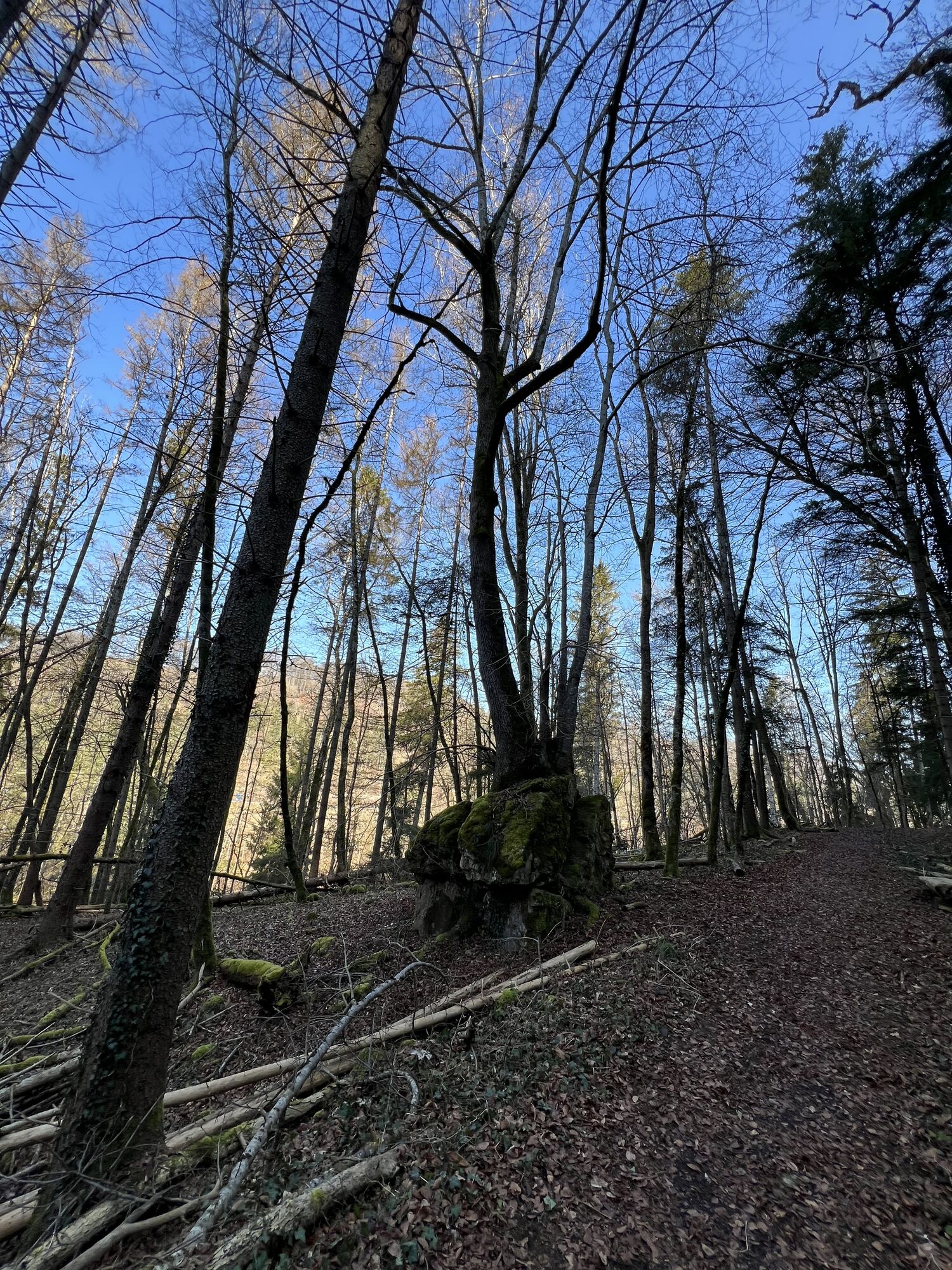
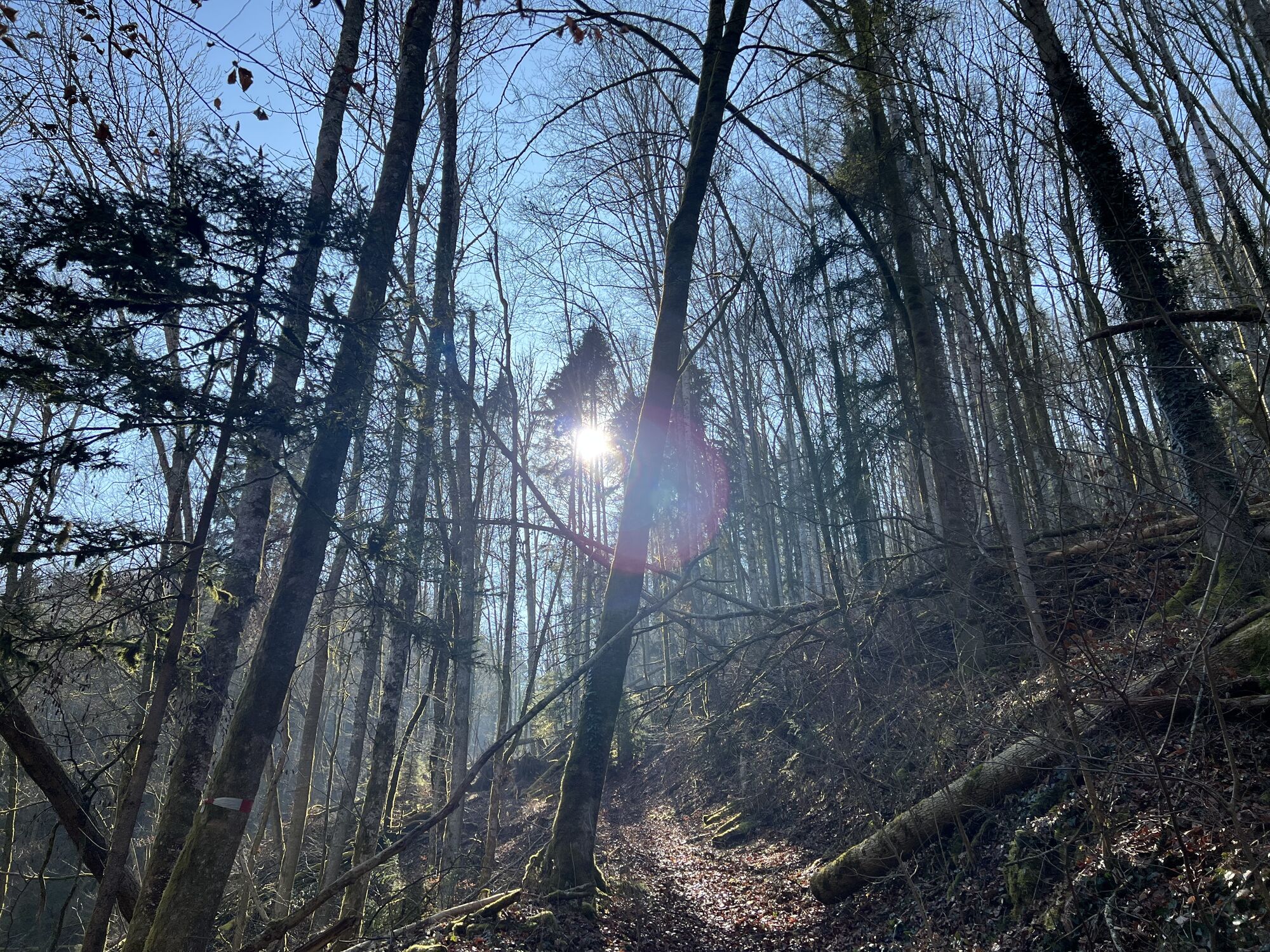
The circular route is a wonderful hike with varied nature. It takes you past the renaturalized Wutach, which invites you to linger at any time of the year. Beautiful forest sections, where thousands of spring snowflakes bloom in spring, will amaze you. Along the way, small treasures await you again and again. Pretty barbecue sites invite you for short breaks. A perfect hike for the whole family.

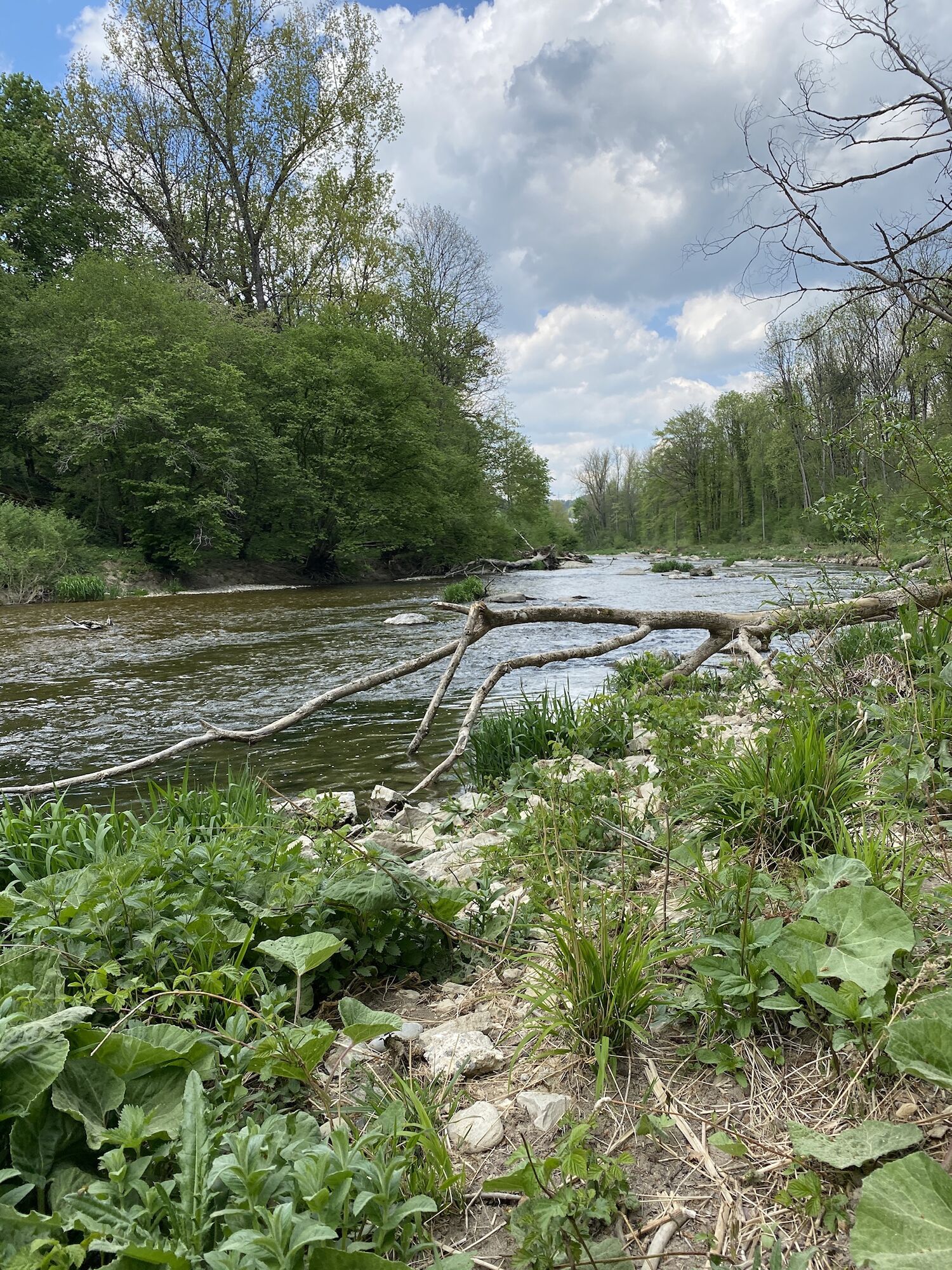
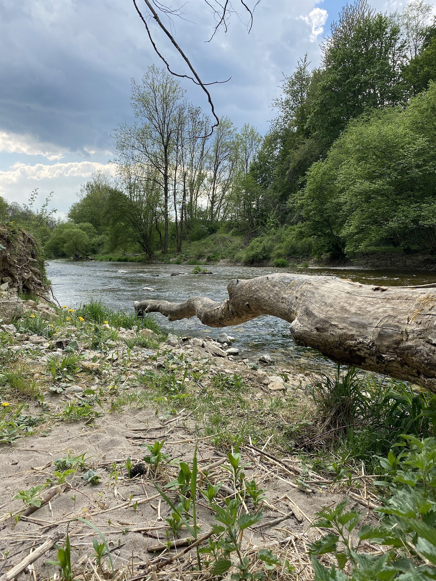
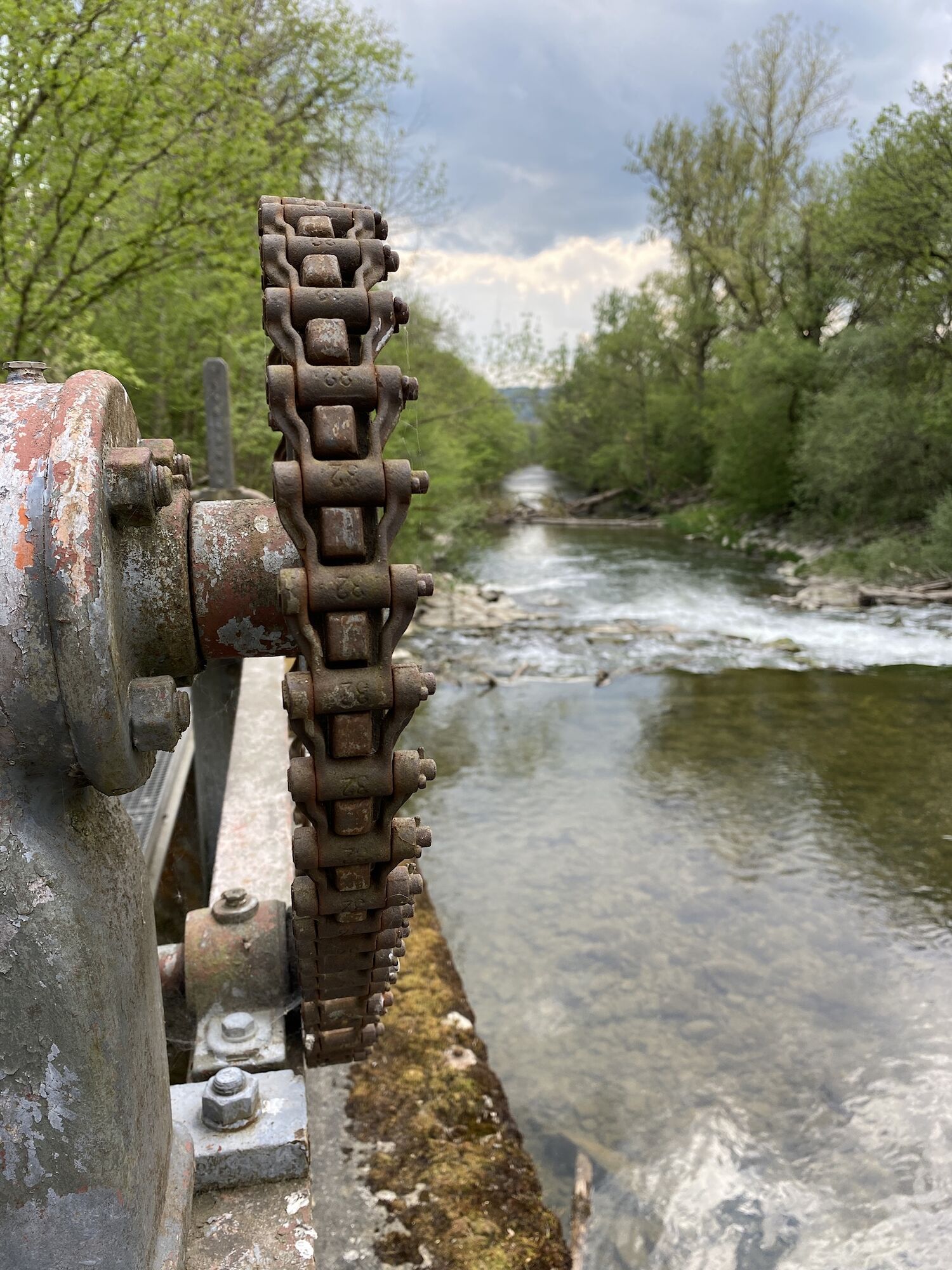

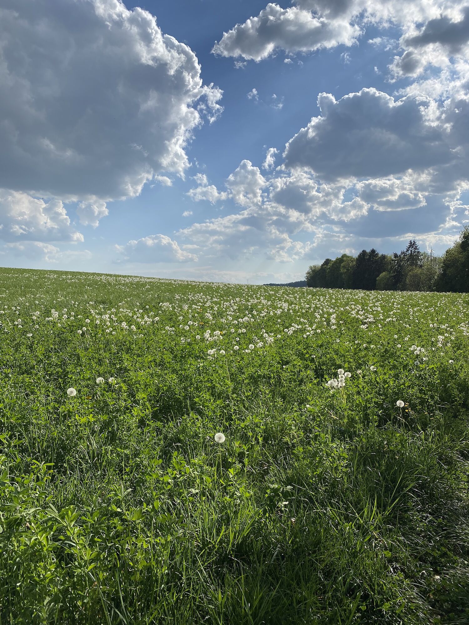
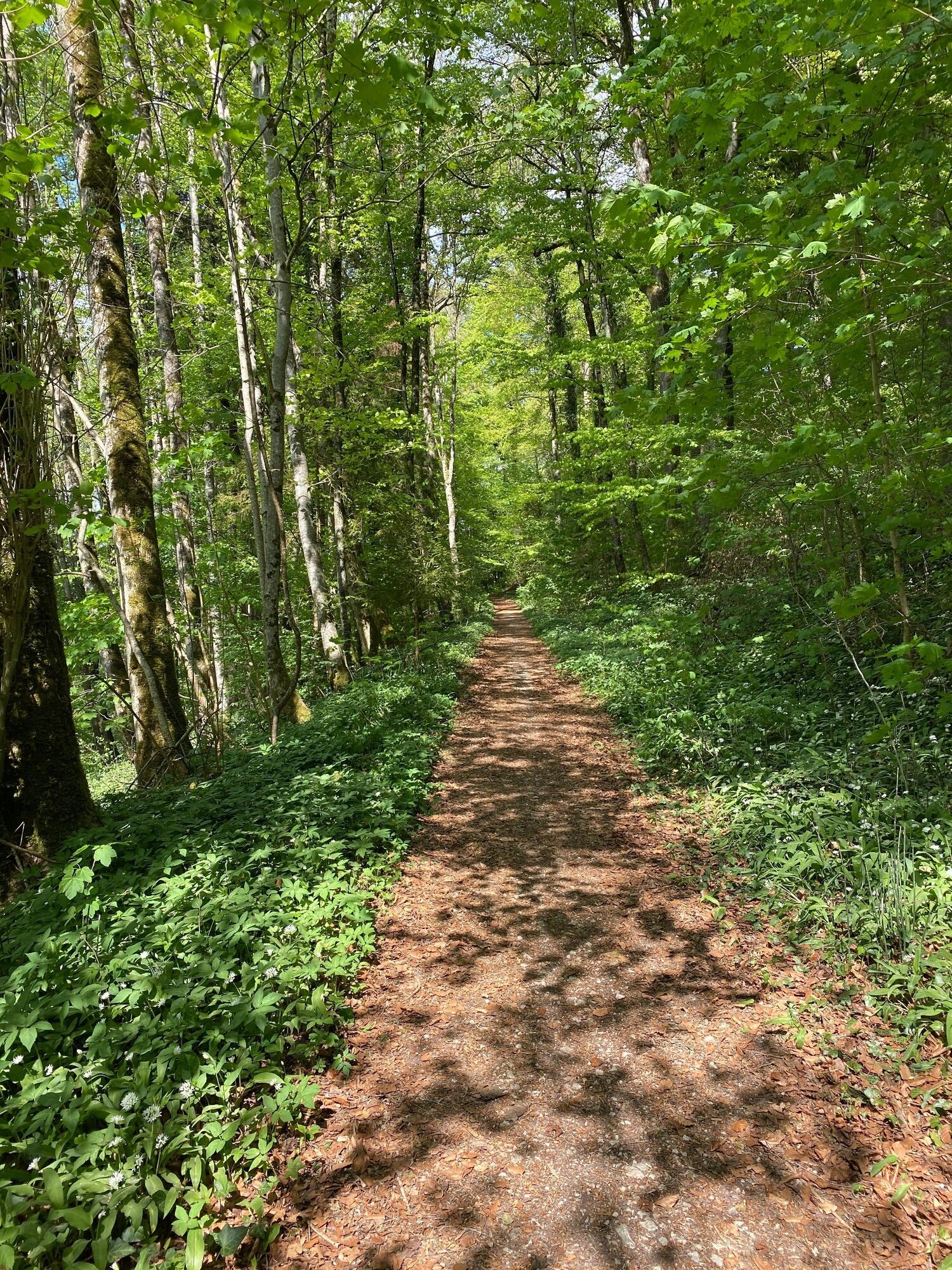
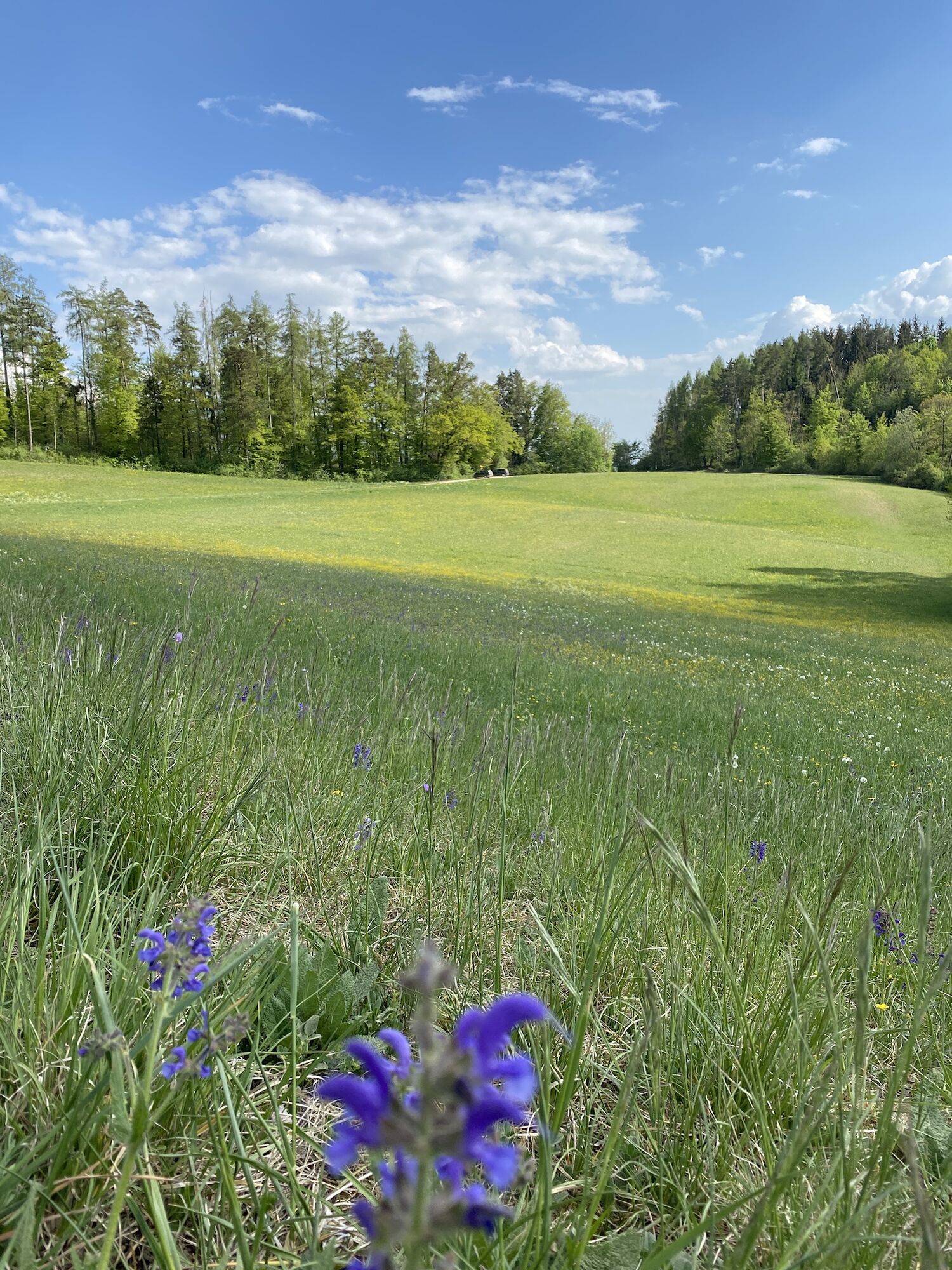

An attractive circular route from Schleitheim village (by public transport, stop Bahnhofstrasse) or directly from Schleitheim Oberwiesen (by car). From the Schleitheim Bahnhofstrasse bus stop, walk briefly out of the village to the next intersection. At the main road, turn right and follow Schwarzwaldstrasse until the curve ends, then take Hölderlistrasse/Ostweg. From there, continue until a field path leads off to the left. Follow this field path (Müliweg) until you reach the forest. There, a zigzag path leads down to Flüelistrasse (you could start the hike here if you are traveling by car).
Now walk along the forest, past the plaster museum. The path takes you into the forest and along the renaturalized Wutach, which invites you to linger at any time of the year. Always follow the path straight ahead and enjoy the beauty of nature. In spring, countless spring snowflakes bloom at Seldehaalde.
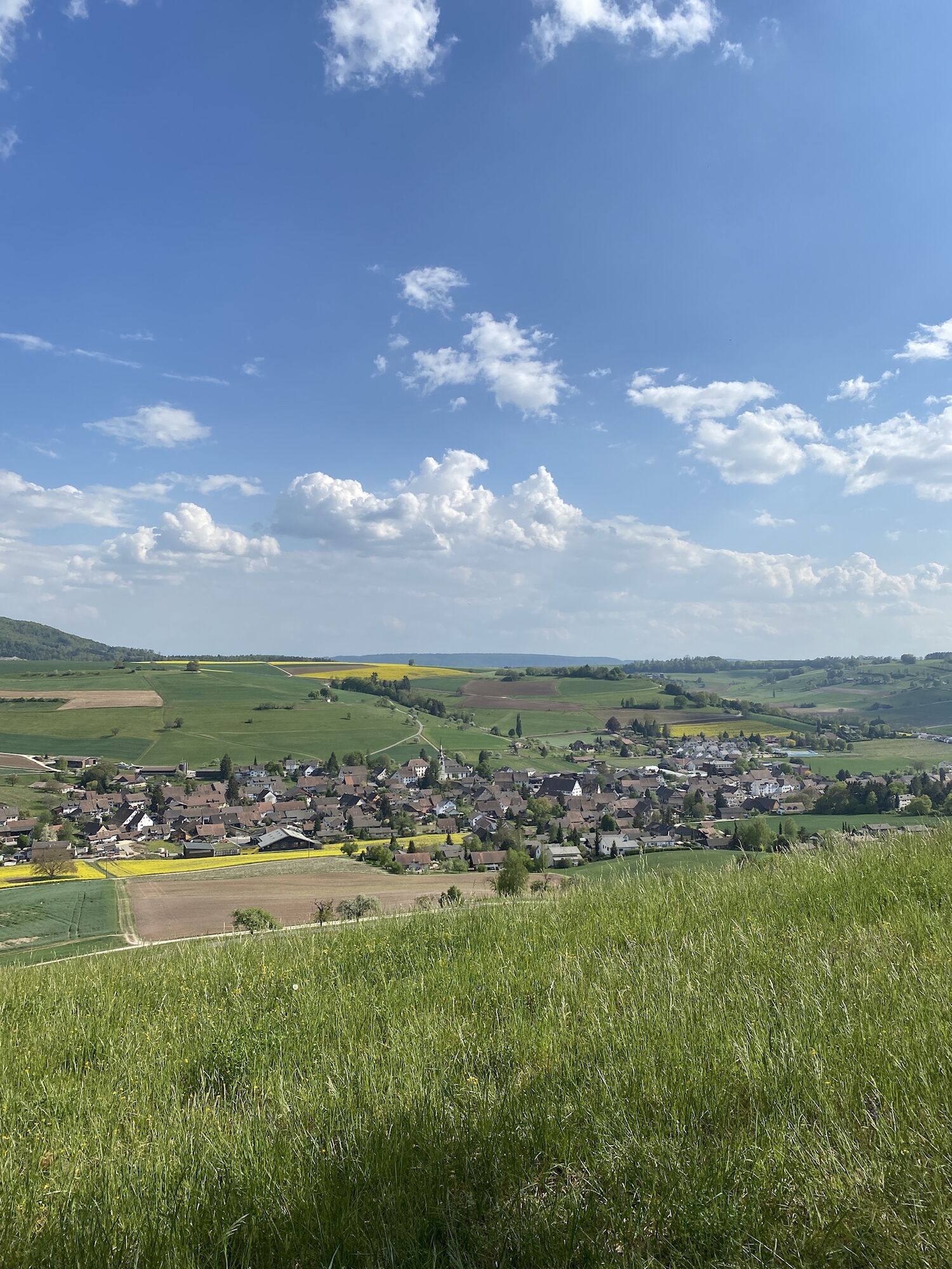
After about 4 to 5 kilometers (from the plaster museum), you come to a junction where the hiking trail leads slightly steeper uphill to the right. Follow the path to the very top, there take the path slightly to the right through the "Fiischter Wääldli". Follow the path through the forest until you reach a clearing – the "Lendli". From there, the path leads you further to the "Stauffebärg", where you can enjoy a wonderful view over the village of Schleitheim.
There is also a top-equipped barbecue site there with tables and benches for a short break. From the "Stauffebärg", the path leads you back down into the village, back to the bus stop "Bahnhofstrasse".
Tak
Good footwear and provisions for the way are recommended.
Parking Flüelistrasse, 8226 Schleitheim
www.google.ch/maps
By bus to the Schleitheim Bahnhofstrasse stop
Parking directly at the forest edge available (Schleitheim Oberwiesen, Flüelistrasse)
Visit to the plaster museum
Barbecue at the Staufenberg barbecue area

 Uzyskaj wgląd Zawsze na żywo z ponad 9 500 kamer internetowych. bergfex Jako użytkownik Pro, możesz teraz zobaczyć odpowiednie kamery internetowe dla wielu wycieczek w aplikacji wycieczki od. Pozwala to na bezpośredni podgląd aktualnych warunków.
Popularne wycieczki w okolicy
- 4,6
Premium Hiking Trail - 3-Schluchten Tour
średniTrasa tematyczna 9,62 km - 4,7
Wutachschlucht Rundwanderung im Süd Schwarzwald
średniWędrówka 9,76 km - 4,7
Small Rheinfall Circular Route
światłoWędrówka 3,48 km - 4,4
Wutach, Deutschland
średniWędrówka 14,6 km Circular hike Schaffhausen - Rhine Falls - Schaffhausen
średniWędrówka 10,0 km- 5,0
Circular hike over the Hinterranden
średniWędrówka 11,0 km SwitzerlandMobility 896: Rhine Falls Circular Route
średniWędrówka 7,39 km- 4,5
Nature trail Merishausen: Brown route
średniTrasa tematyczna 11,4 km - 4,5
SchweizMobil 593: Nordspitze Panoramaweg
średniWędrówka 13,7 km - 4,0
Stein am Rhein – Schaffhausen round route
średniJazda na rowerze 39,7 km
Wędrówki i tropienie


Nie przegap ofert i inspiracji na następne wakacje
Twój adres e-mail została dodana do listy mailingowej.





