


Premium Hiking Trail - 3-Schluchten Tour
Zdjęcia naszych użytkowników
 © Kristina 1Utworzono dnia 25.04.2026
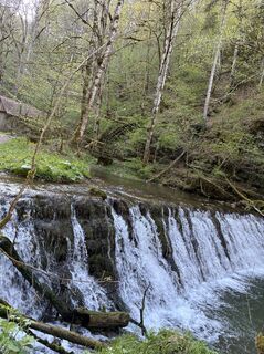 © Kristina 1Utworzono dnia 25.04.2026
 © Kristina 1Utworzono dnia 25.04.2026
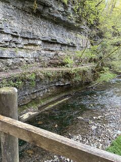 © Kristina 1Utworzono dnia 25.04.2026
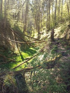
 © LaifernorbertUtworzono dnia 25.04.2026
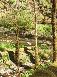 © LaifernorbertUtworzono dnia 25.04.2026
 © LaifernorbertUtworzono dnia 25.04.2026
 © LaifernorbertUtworzono dnia 25.04.2026
 © LaifernorbertUtworzono dnia 25.04.2026
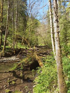 © LaifernorbertUtworzono dnia 25.04.2026
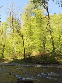 © LaifernorbertUtworzono dnia 25.04.2026
 © LaifernorbertUtworzono dnia 25.04.2026
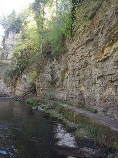 © LaifernorbertUtworzono dnia 25.04.2026
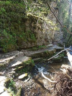 © LaifernorbertUtworzono dnia 25.04.2026
 © Kristina 1Utworzono dnia 25.04.2026
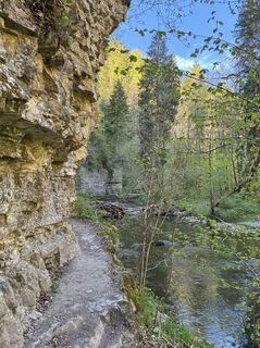 © Kristina 1Utworzono dnia 25.04.2026
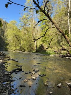 © Kristina 1Utworzono dnia 25.04.2026
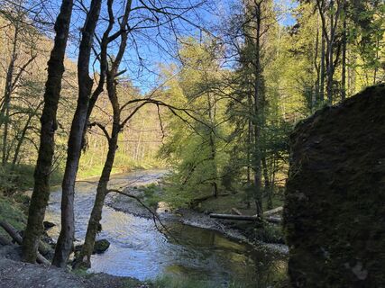 © Kristina 1Utworzono dnia 25.04.2026
 © SchmidiUtworzono dnia 21.06.2025
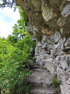 © SchmidiUtworzono dnia 21.06.2025
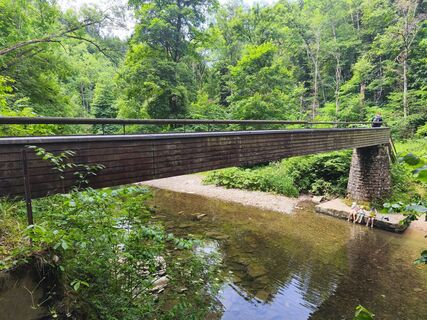 © SchmidiUtworzono dnia 21.06.2025
 © SchmidiUtworzono dnia 21.06.2025
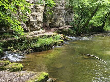 © SchmidiUtworzono dnia 21.06.2025
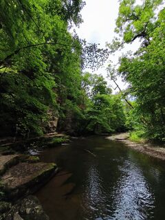 © SchmidiUtworzono dnia 21.06.2025
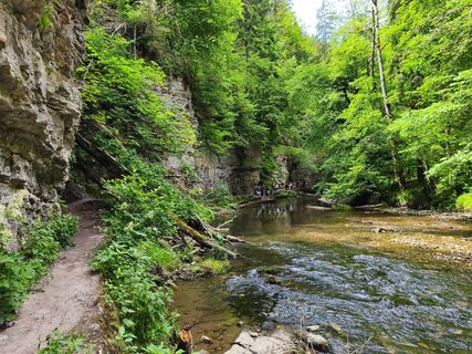 © SchmidiUtworzono dnia 21.06.2025
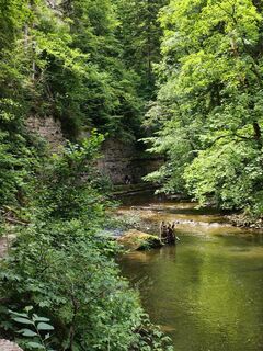 © SchmidiUtworzono dnia 21.06.2025
 © Noreen (NoKe)Utworzono dnia 19.06.2025
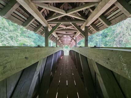 © Noreen (NoKe)Utworzono dnia 19.06.2025
 © Noreen (NoKe)Utworzono dnia 19.06.2025
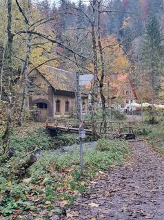
 © Bettina LotzUtworzono dnia 19.10.2024
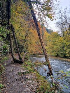 © Bettina LotzUtworzono dnia 19.10.2024
 © Bettina LotzUtworzono dnia 19.10.2024
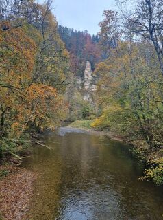 © Bettina LotzUtworzono dnia 19.10.2024
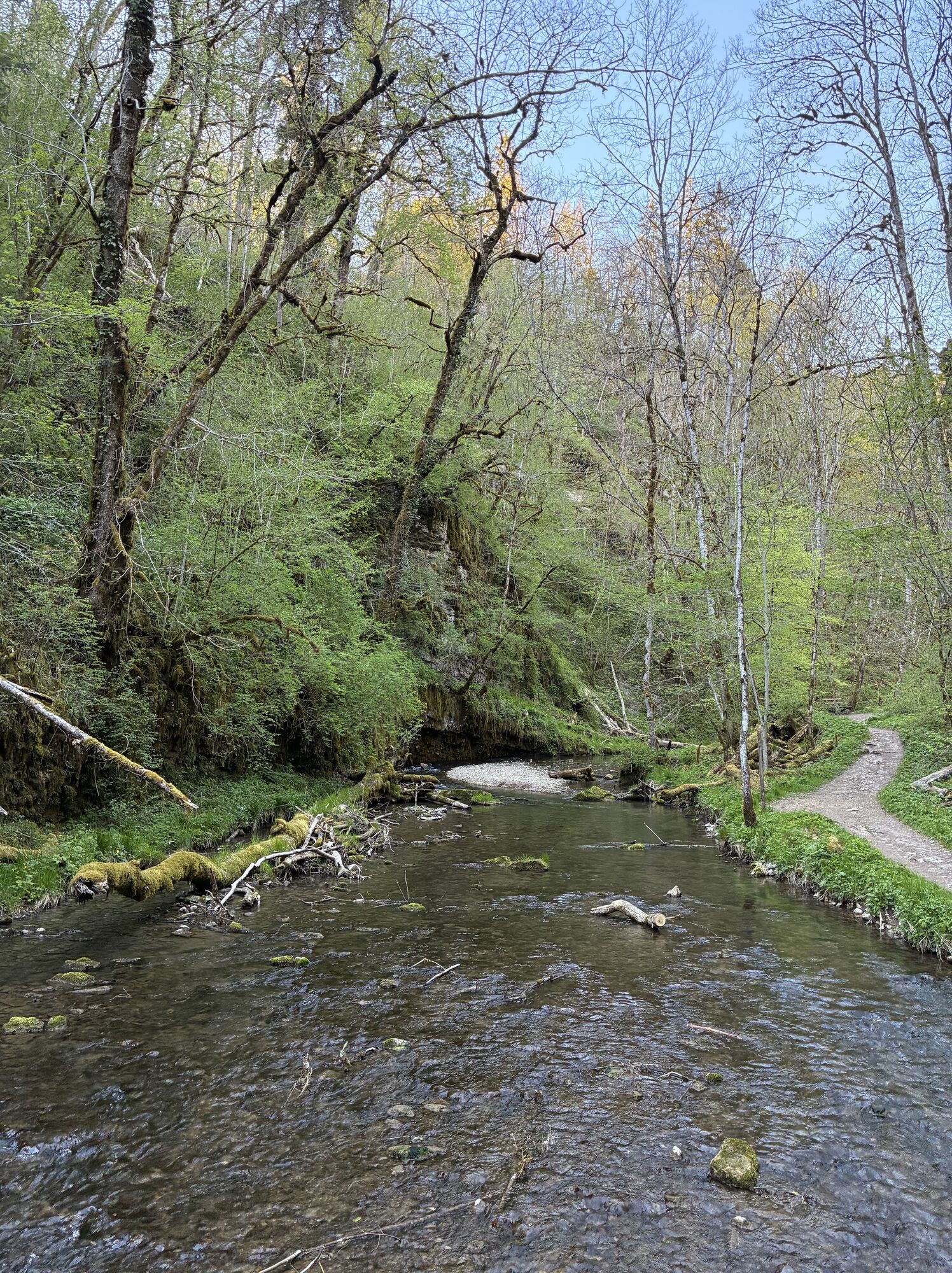
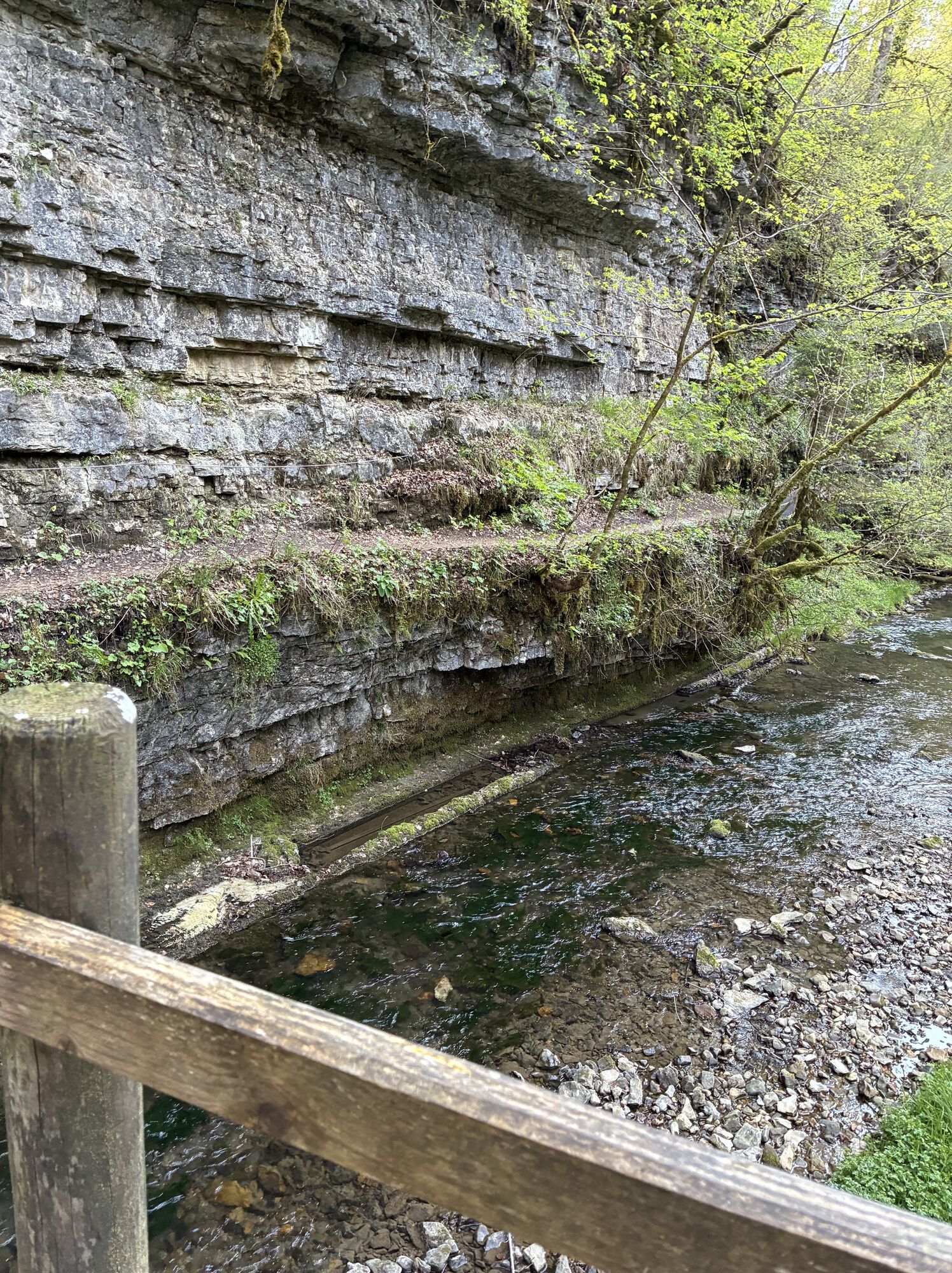


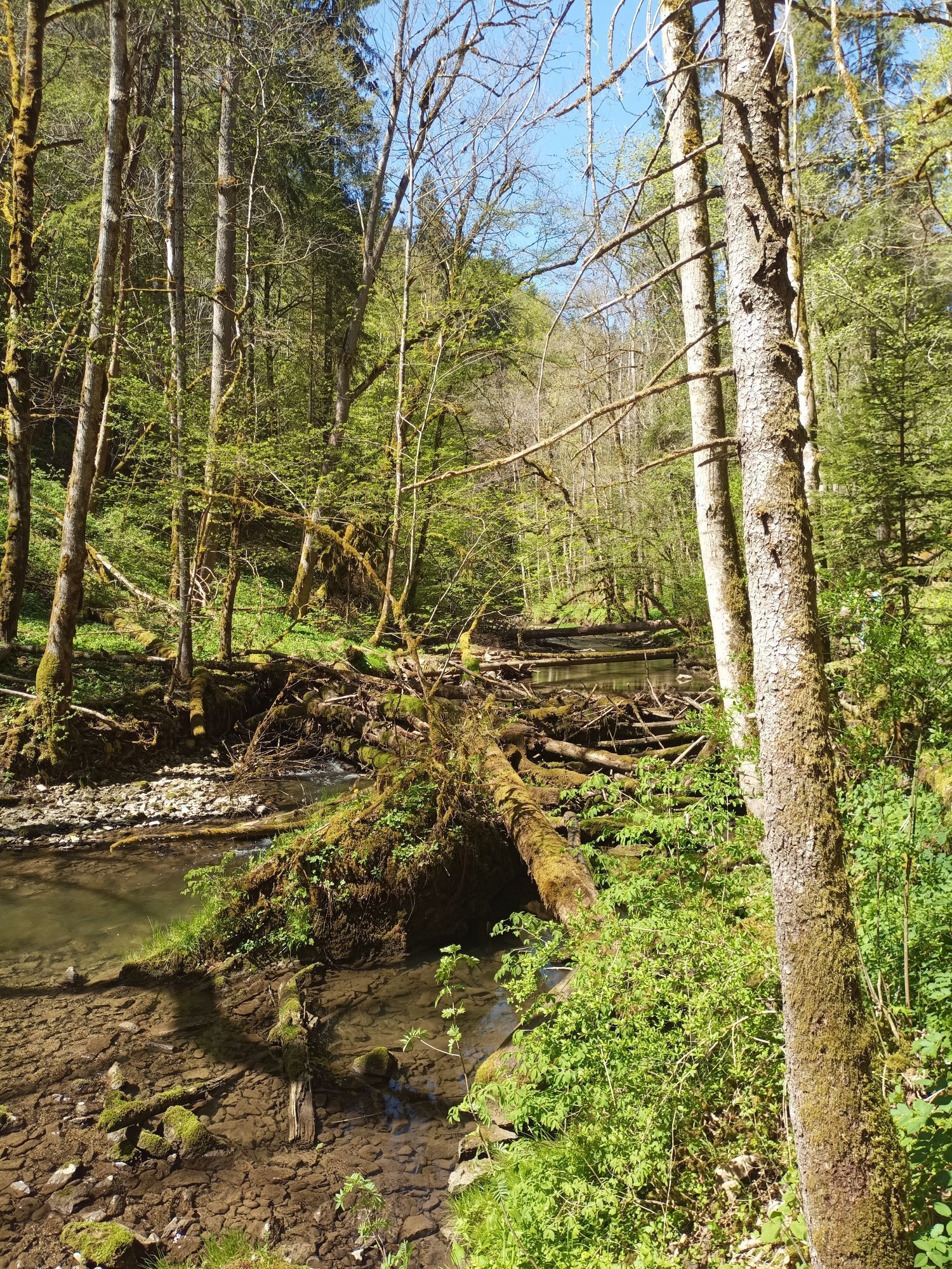

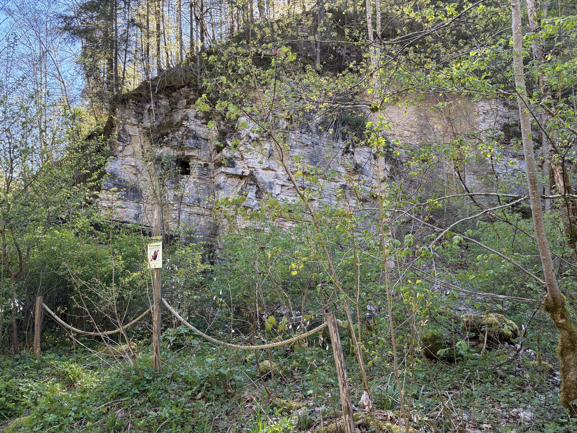


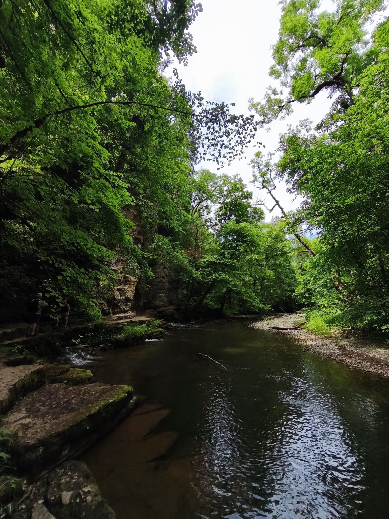

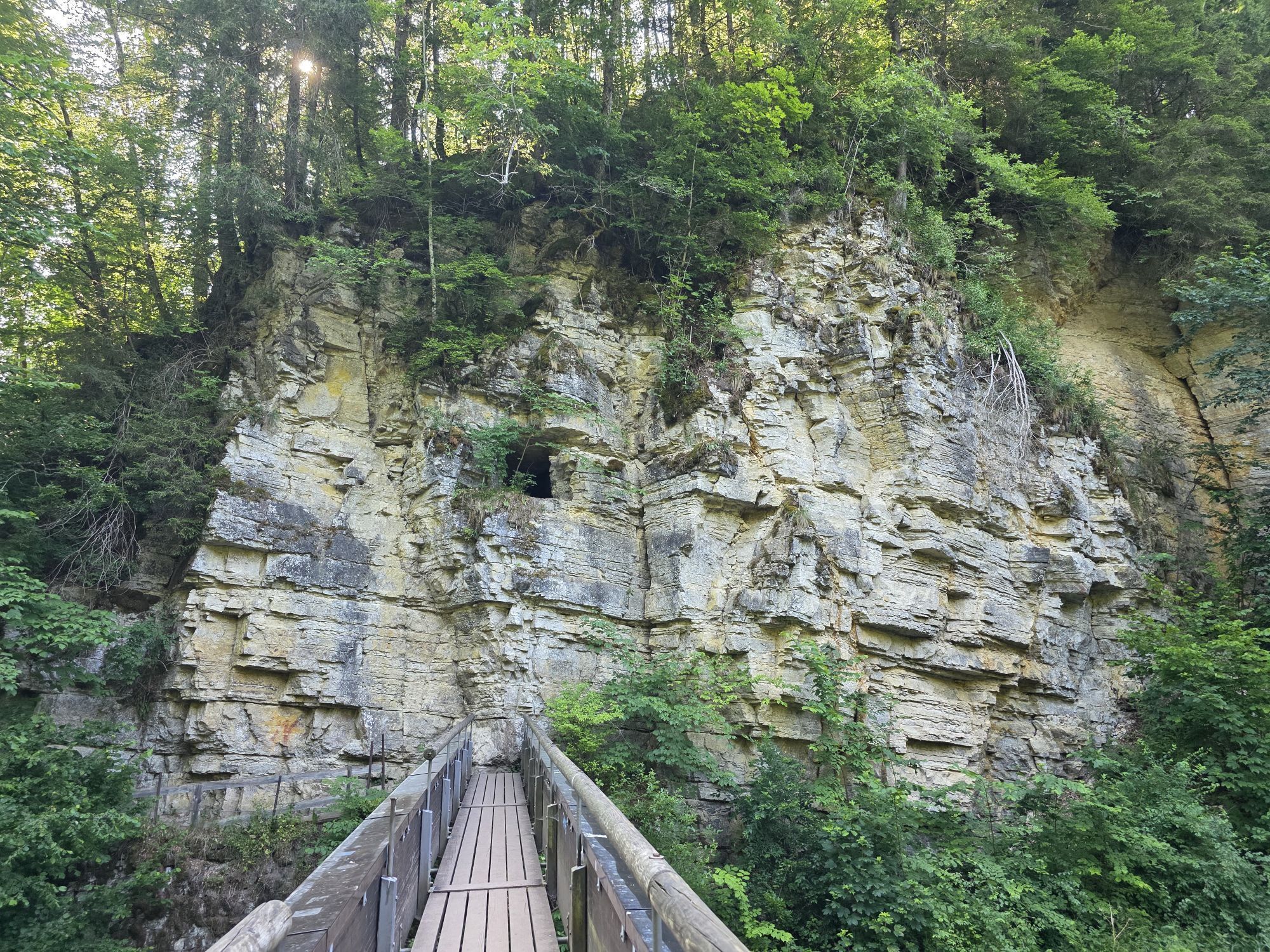


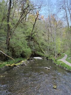
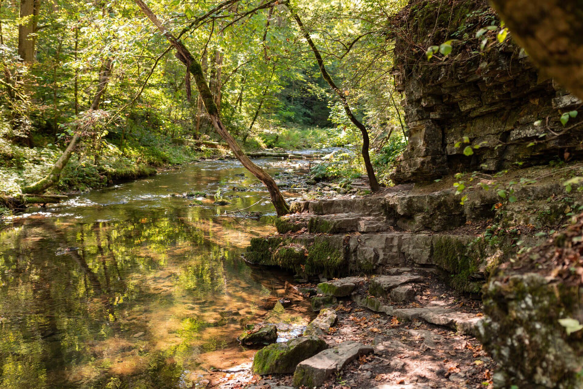
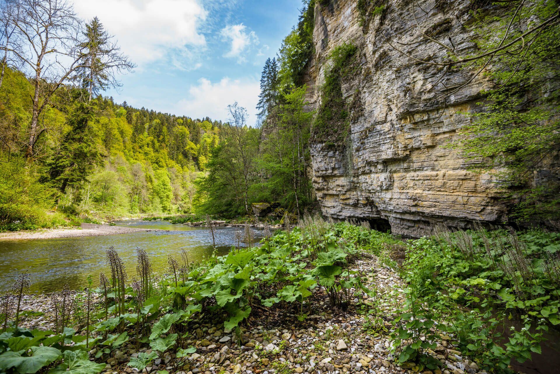
This varied circular tour takes you through the three gorges of the Wutach, Gauchach and Enge gorges. You first travel through the Wutach Gorge on a section of the well-known Schluchtensteig trail before...
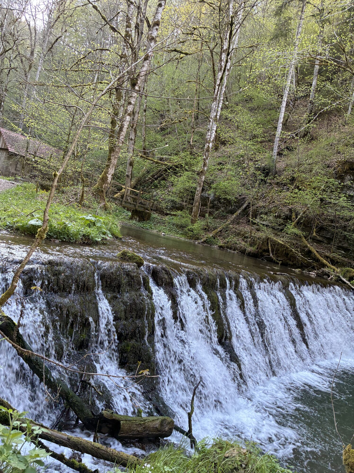
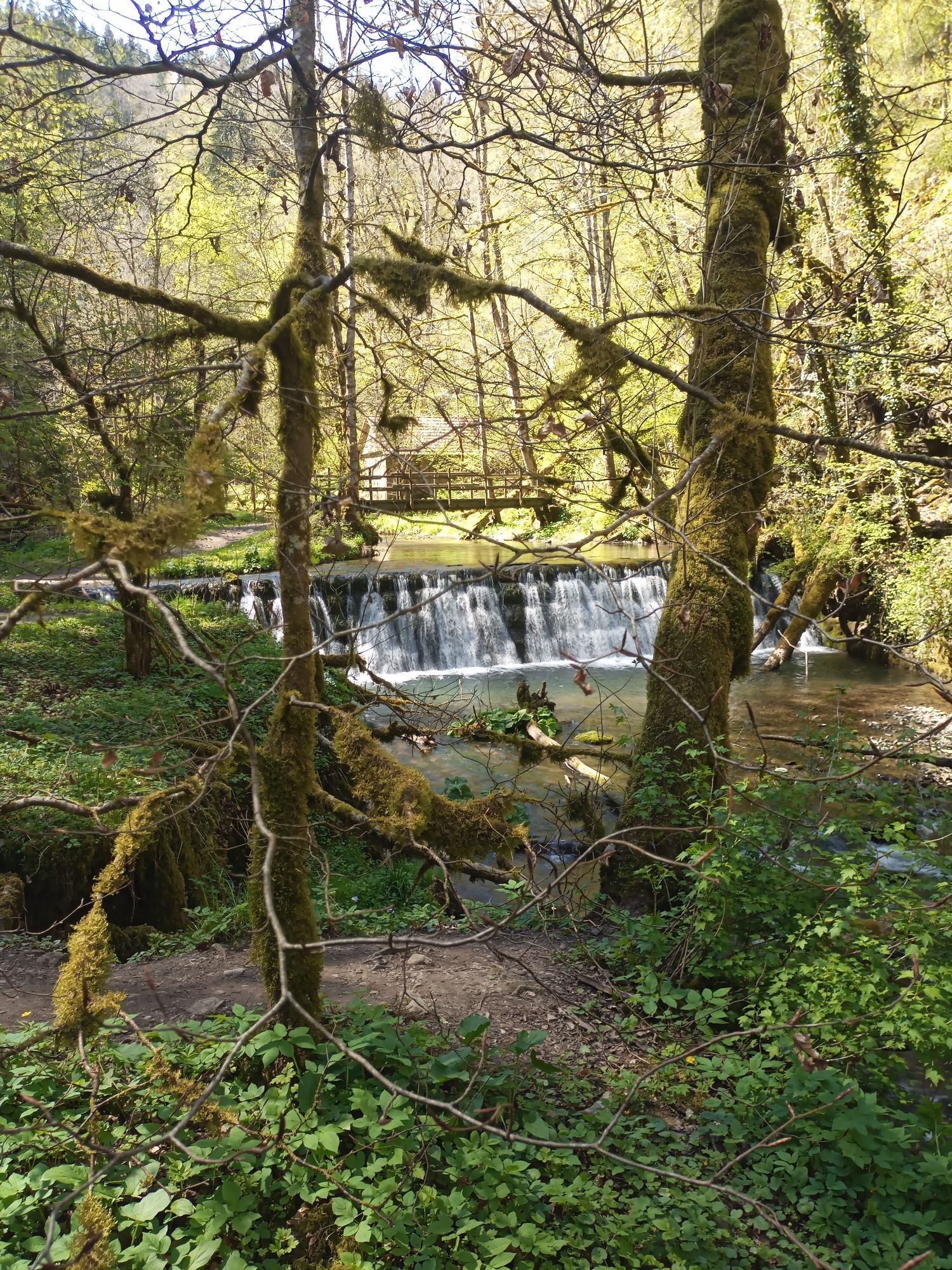
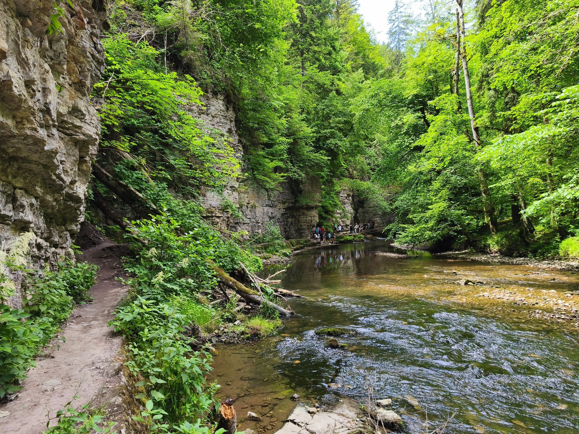
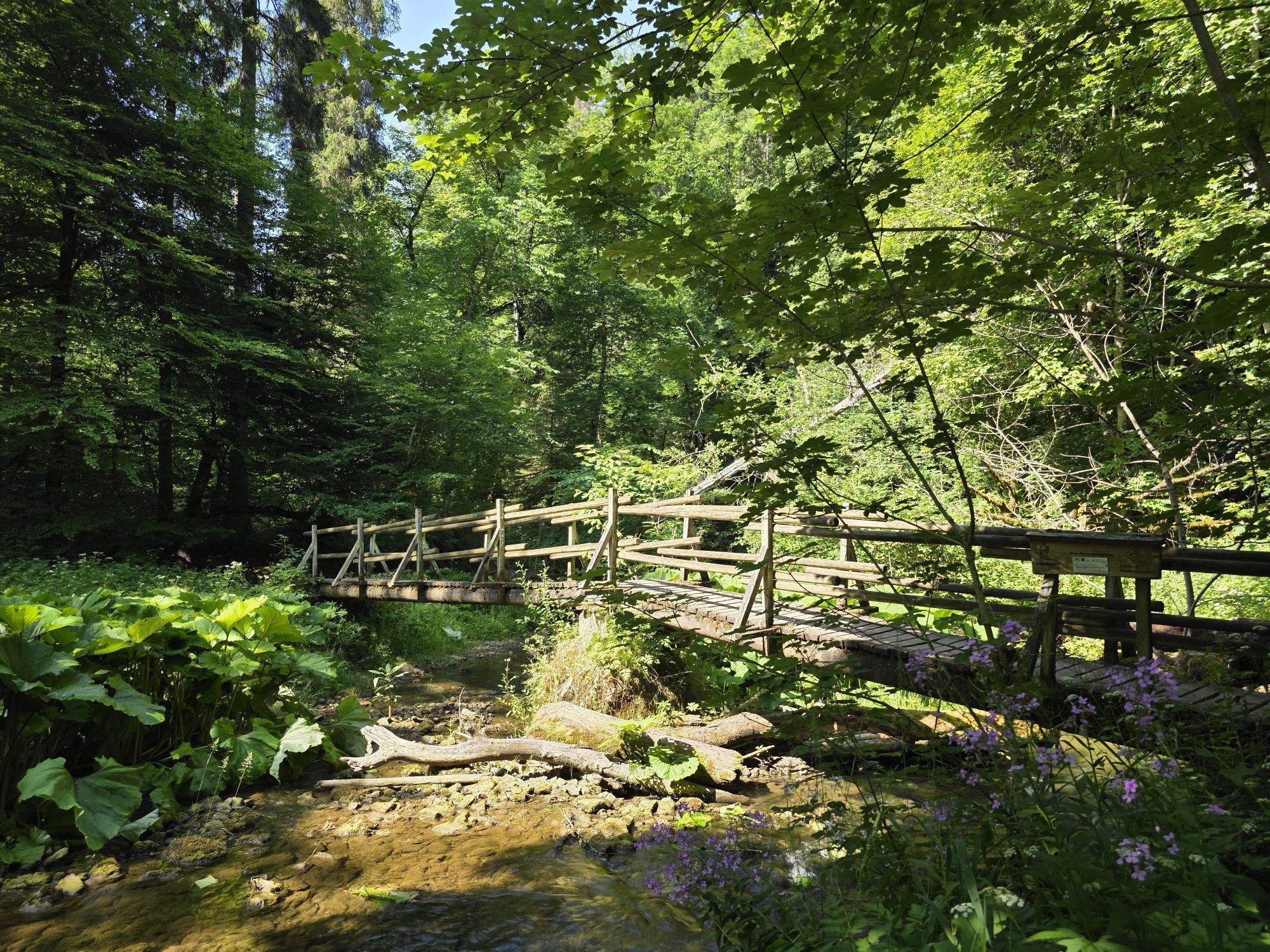
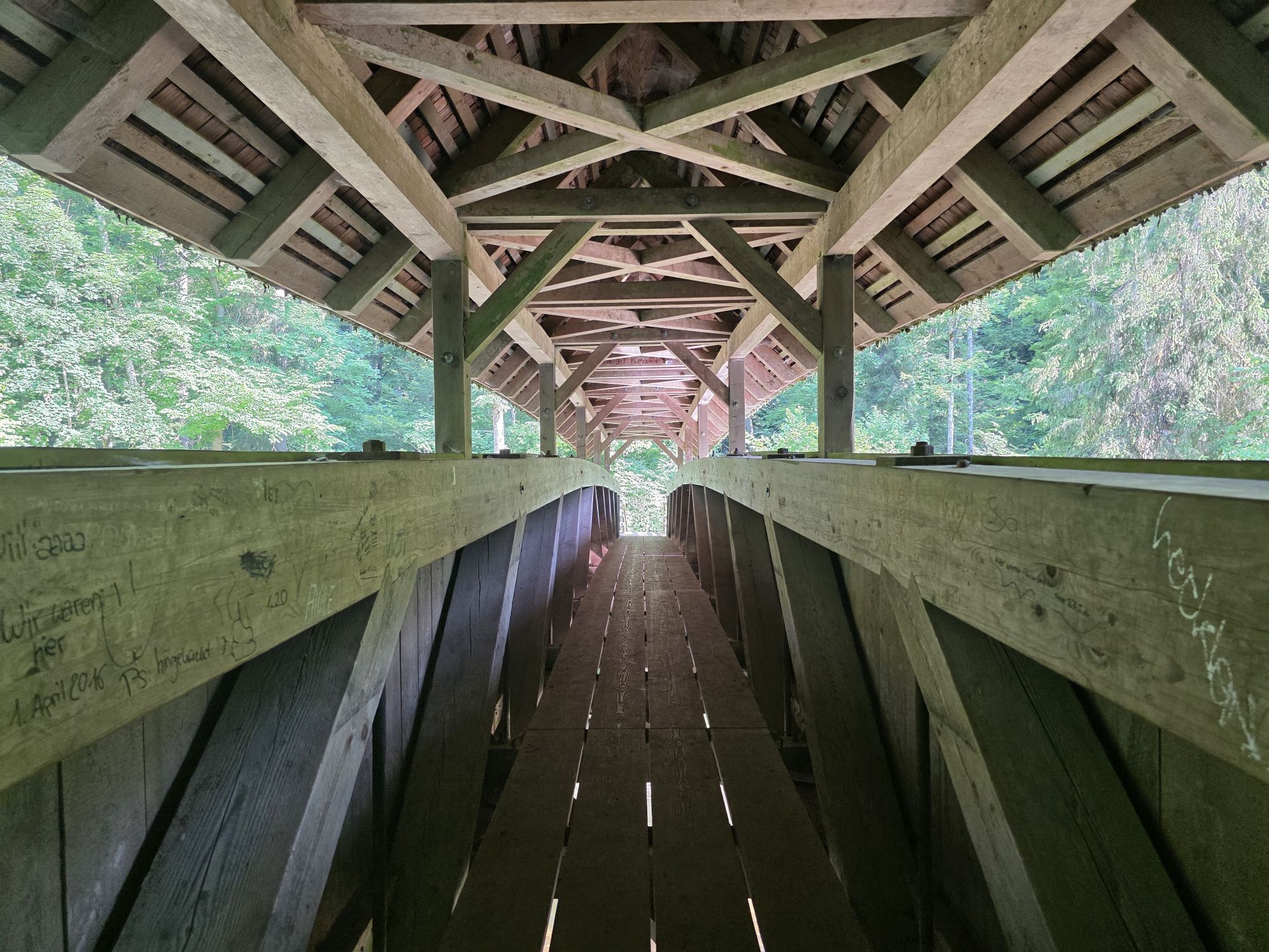
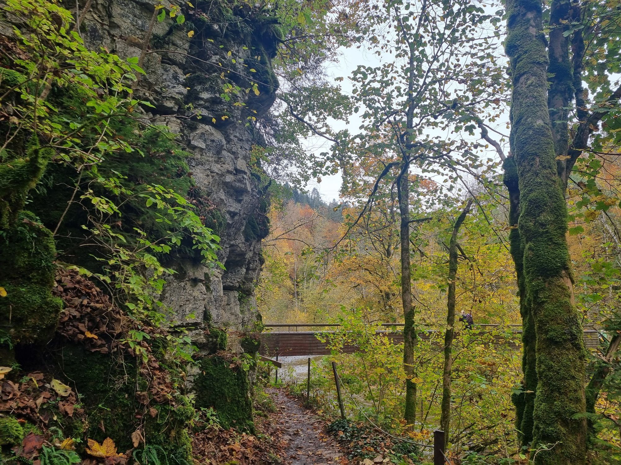
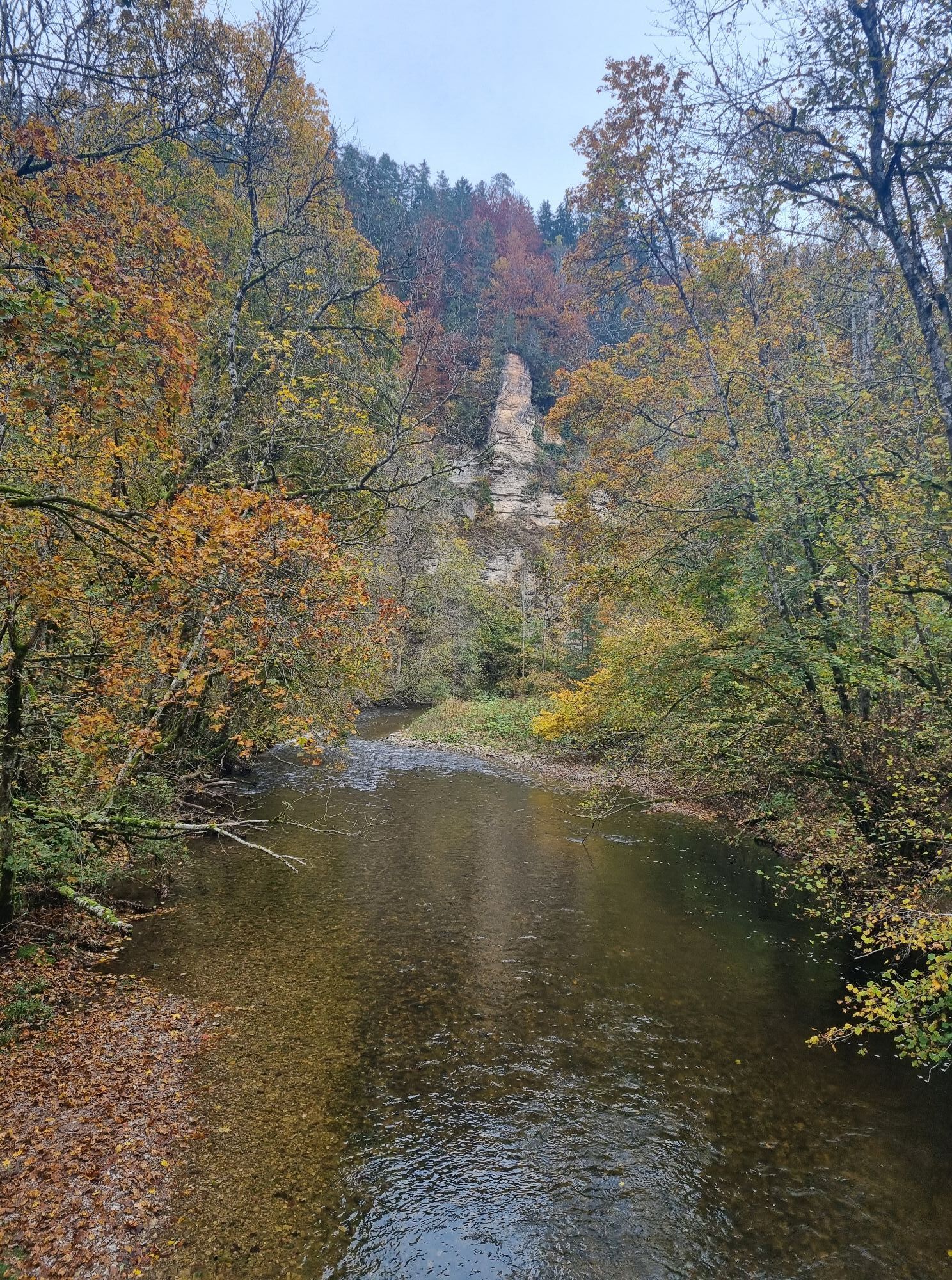
This varied circular tour takes you through the three gorges of the Wutach, Gauchach and Enge gorges. You first travel through the Wutach Gorge on a section of the well-known Schluchtensteig trail before reaching the wild and romantic Gauchach Gorge. This smaller side gorge features many small waterfalls as well as small bridges and footbridges that lead you over the Gauchach again and again. Another highlight is the challenging Engeschlucht gorge.

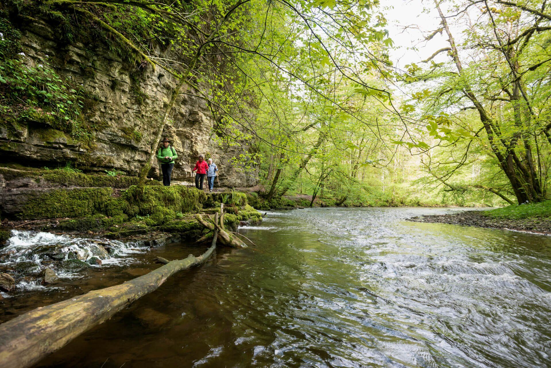

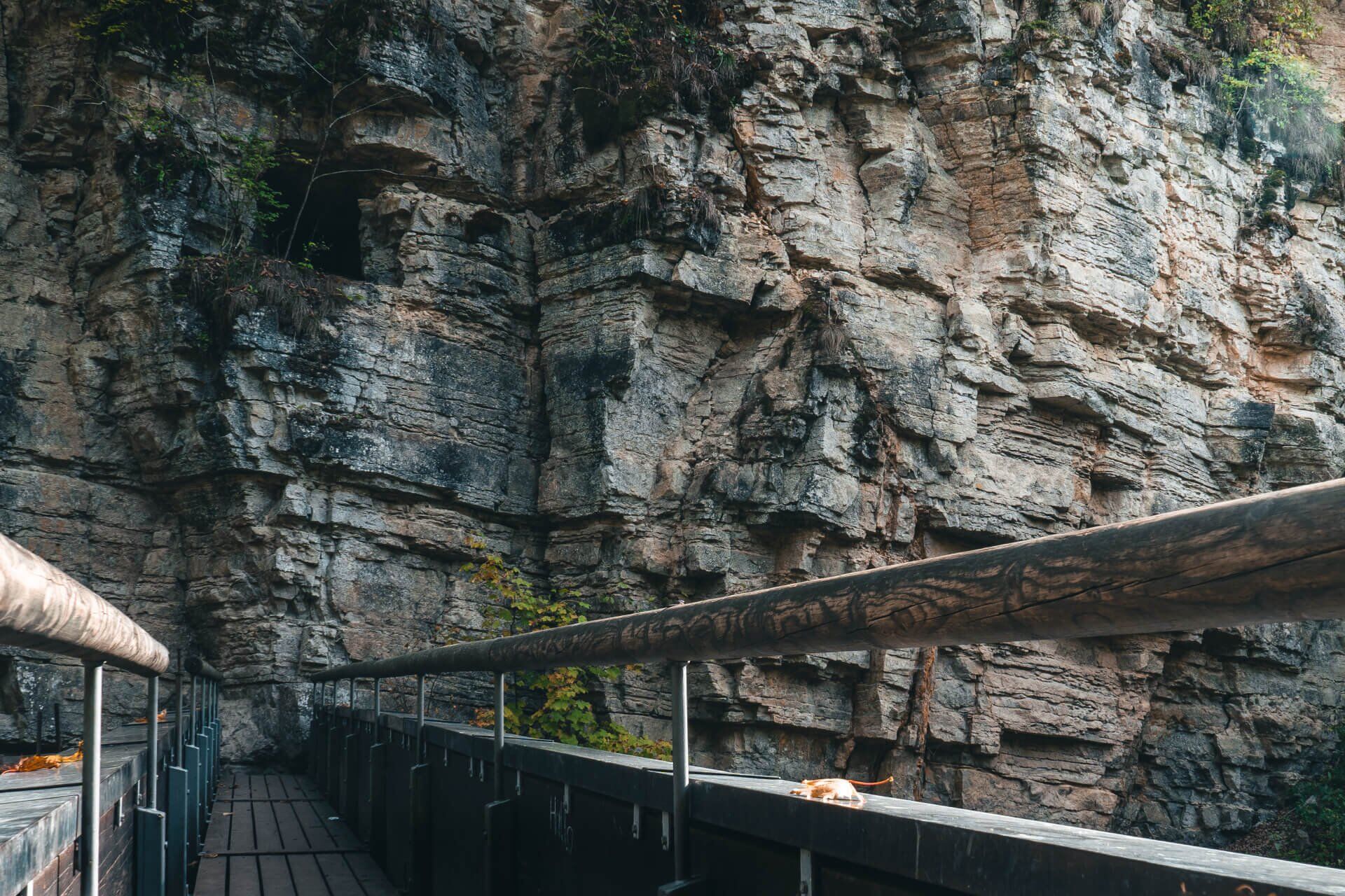
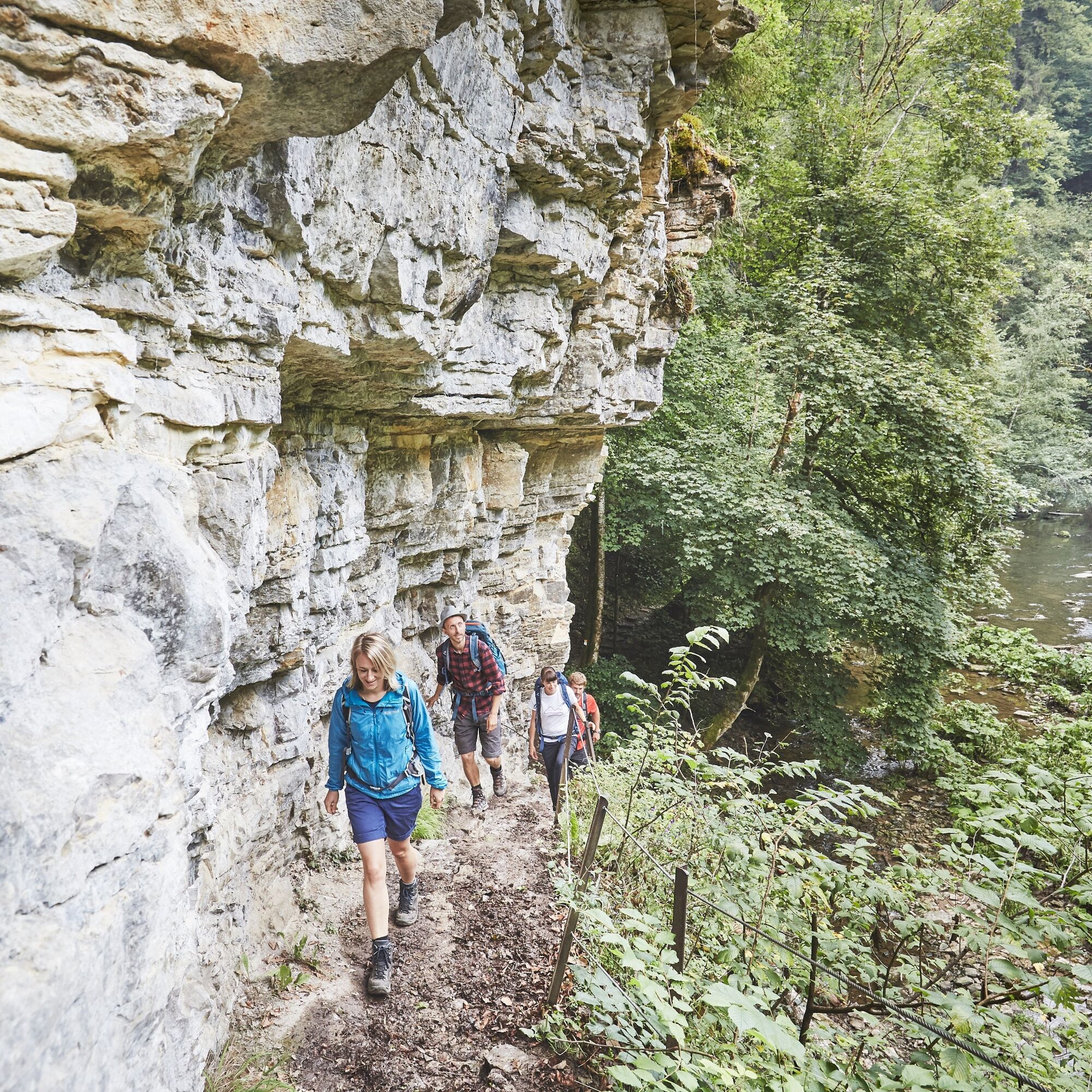
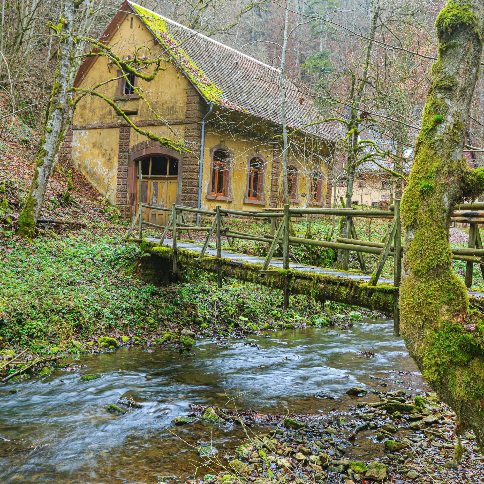
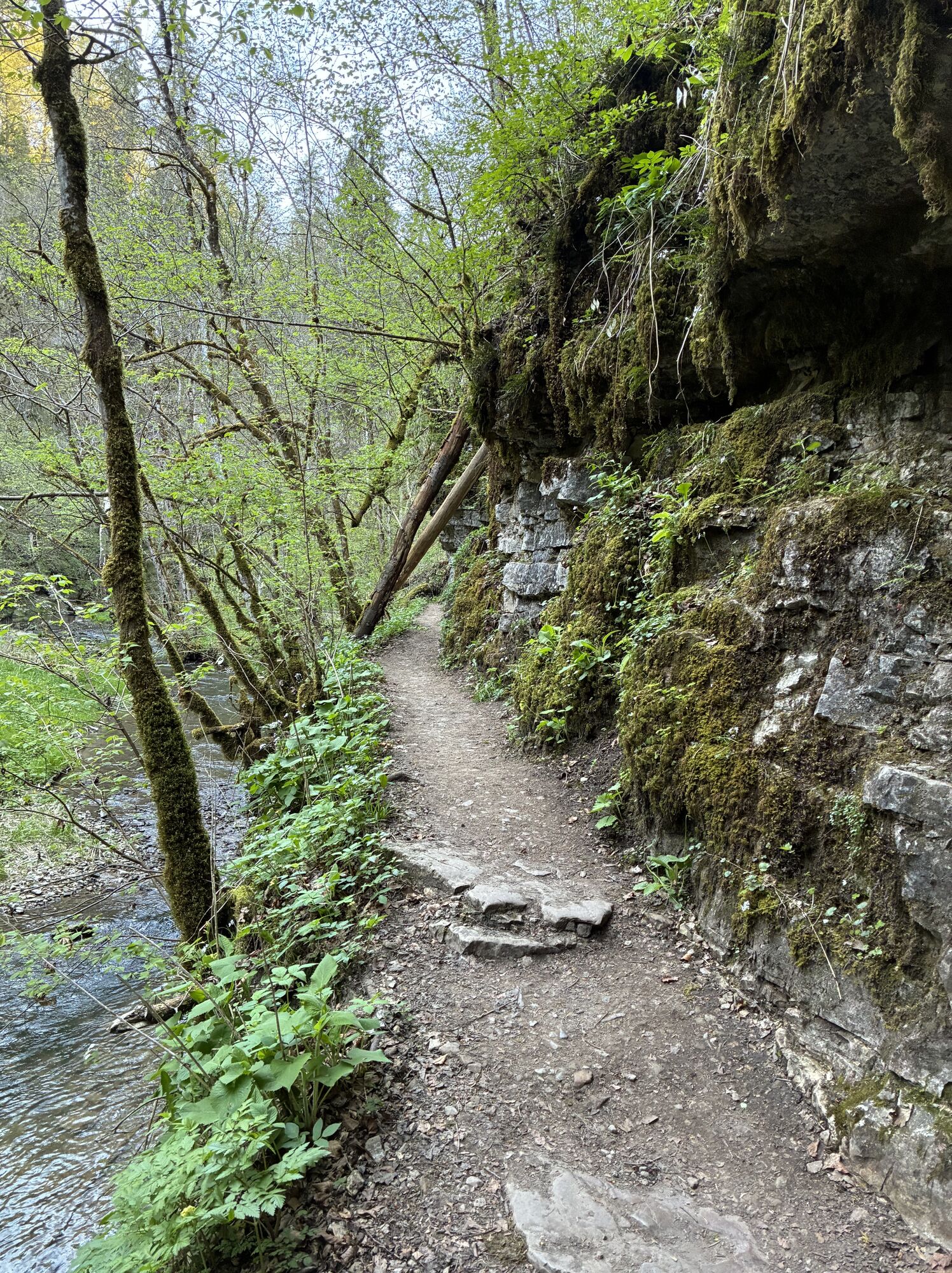
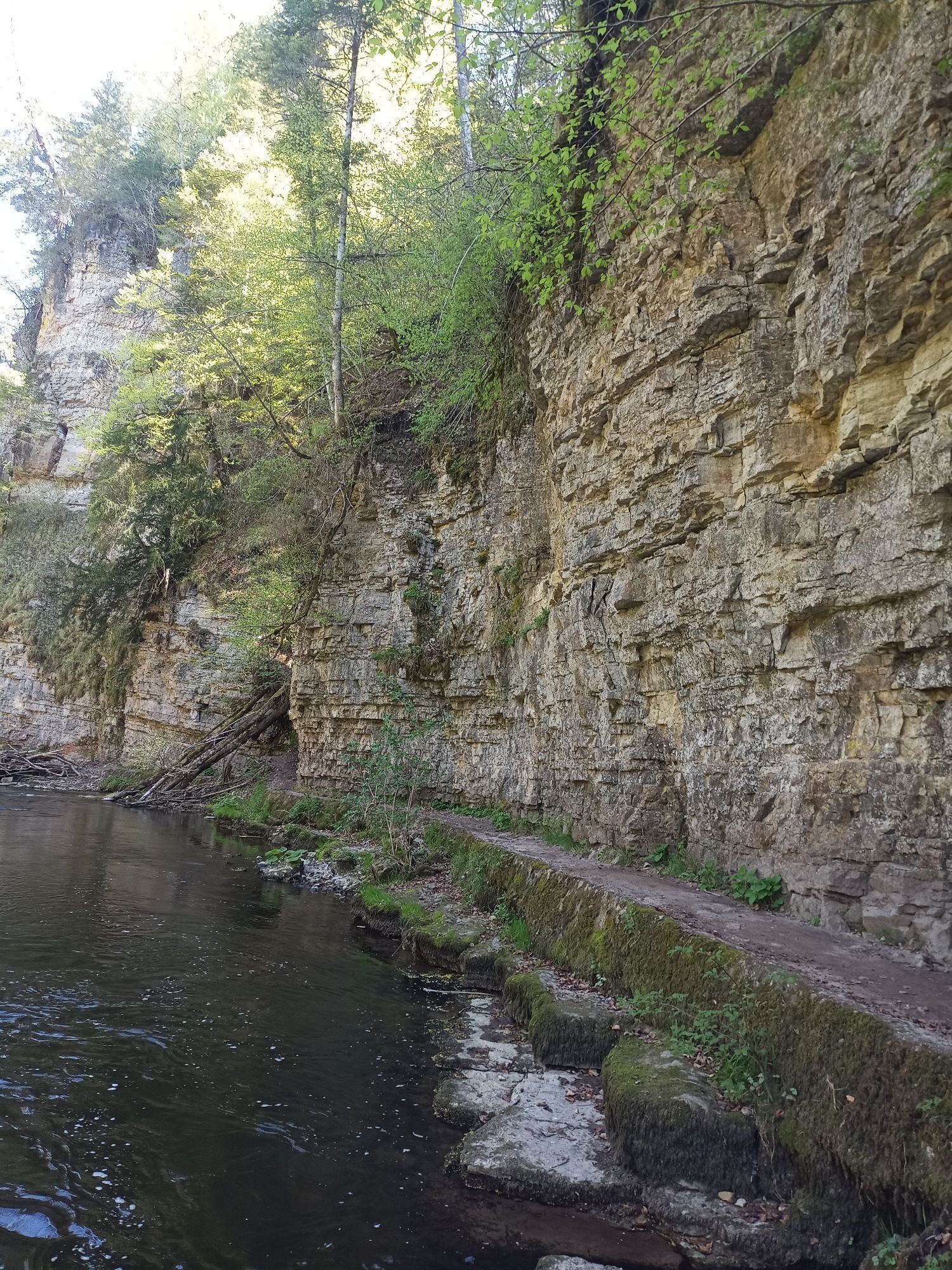
You start at the Drei-Schluchten-Halle and follow the "3-Schluchten-Tour" sign into the Wutach Gorge. There you walk along the left bank of the Wutach until the Gauchach flows into the Wutach. Then turn left into the Gauchachschlucht gorge and continue to follow the "3-Schluchten-Tour" sign to the Burgmühle mill. From here, walk a little further into the Gauchach Gorge and then follow the sign to the left into the Ensch Gorge. The most challenging part of our tour awaits you here: the Engeschlucht gorge is very narrow and the path is often wet and slippery, so take particular care here! The route then leads back along meadow paths in the direction of Bachheim - Drei-Schluchten-Halle.
Tak
Tak
Sturdy shoes and backpack food. Surefootedness and a head for heights are absolutely necessary.
The gorges are divided into different rescue sectors, all of which are signposted. In emergencies, they enable the mountain rescue service to find your location better and faster. Therefore, please always pay attention to which sector you are in.
As you do not always have cell phone reception in the gorges, you may have to walk out of the gorge or a little further into the gorge in order to contact the mountain rescue service from there.Please follow the recommended walking direction!
The 3 Gorges Tour is not suitable for baby carriages, but can be done with children if they are sure-footed and free from giddiness.
The trail is suitable for dogs. Due to the steps and narrow paths, please keep your dog on a lead and watch out for other hikers.
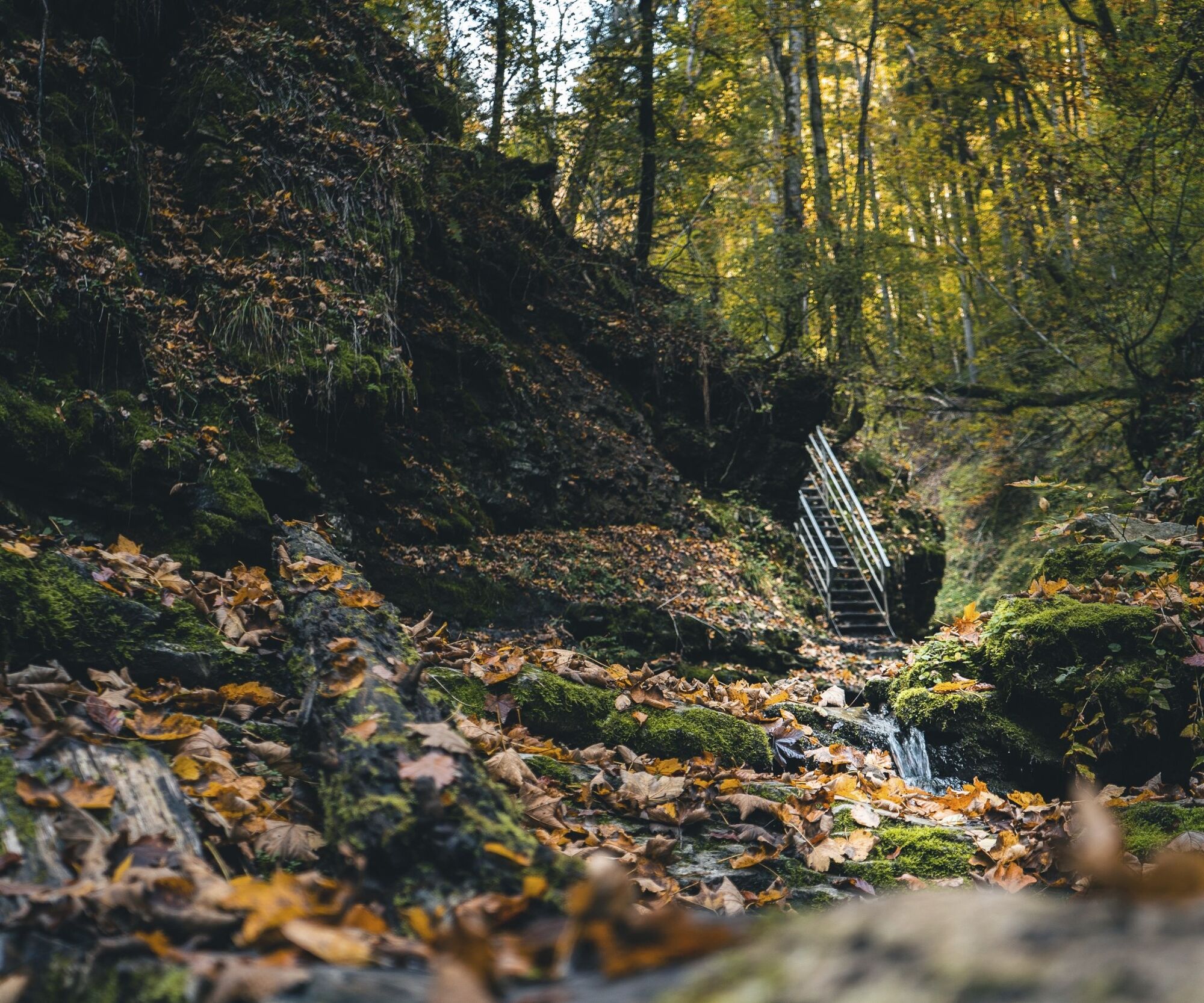
The paths are usually very wet and slippery, so please take care on the narrow paths.
Please pay attention to the signs on the hiking trail. You can find precise and detailed information about the signs and the hiking guidance system on our website. In emergencies, call 112.
From Freiburg:
B31 in the direction of Donaueschingen, exit Löffingen, continue to Bachheim/Unadingen, past Unadingen to Bachheim.
From Donaueschingen:
B31 in the direction of Freiburg, exit Löffingen, continue to Bachheim/Unadingen, past Unadingen to Bachheim.
From Lörrach:
B317/B315/B500 towards Donaueschingen via Zell i.W. /Todtnau/Feldberg to Titisee, continue on B31 towards Donaueschingen, exit Löffingen, continue to Bachheim/Unadingen, past Unadingen to Bachheim.
From Freiburg:
Take the train S10 driving in the direction to Villingen (Schwarzwald). Then get out at Bachheim.
From Donaueschingen:
Take the train S10 in the direction to Freiburg (Breisgau). Then get out at Bachheim.
From Lörrach:
Take the train from Lörrach to Basel Bad BF, change to the ICE to Freiburg. From Freiburg take the S10 in the direction of Villingen (Black Forest) to Bachheim.
From Bachheim station, follow the signs to the Drei-Schluchten-Halle.Hikers parking lot "Drei-Schluchten-Halle", Schluchtweg 10, 79843 Löffingen
Tak
There are public toilets in the Drei-Schluchten-Halle (starting and end point of the tour).
Schau dir die Schlucht zur Märzenbecherblüte an (März/April). Auch Seidelbast ist zu dem Zeitpunkt auf der Tour zu entdecken.


Popularne wycieczki w okolicy
- 4,7
Wutachschlucht Rundwanderung im Süd Schwarzwald
średniWędrówka 9,76 km - 5,0
Wutachschlucht+Lotenbachklamm
światłoWędrówka 10,0 km - 4,5
Premium Hiking Trail - Rötenbach Gorge
średniTrasa tematyczna 10,9 km - 4,5
SchweizMobil 593: Nordspitze Panoramaweg
średniWędrówka 13,7 km "Bähnle"- cycle path
światłoJazda na rowerze 27,1 km- 4,8
Wutach, Deutschland
średniWędrówka 14,6 km "Thomas Schäuble" trail in "Rothaus"
średniWędrówka 6,13 km- 5,0
Circular hike to the Judenlöcher at Hohenlupfen Castle
średniWędrówka 7,26 km - 4,0
Von Lenzkirch durch die Haslachschlucht zum Rechenfelsen und zur Haslachmündung
średniWędrówka 11,6 km - 4,0
Die Wutachschlucht – der Grand Canyon des Schwarzwaldes
średniWędrówka 11,3 km

Wędrówki i tropienie


Nie przegap ofert i inspiracji na następne wakacje
Twój adres e-mail została dodana do listy mailingowej.