







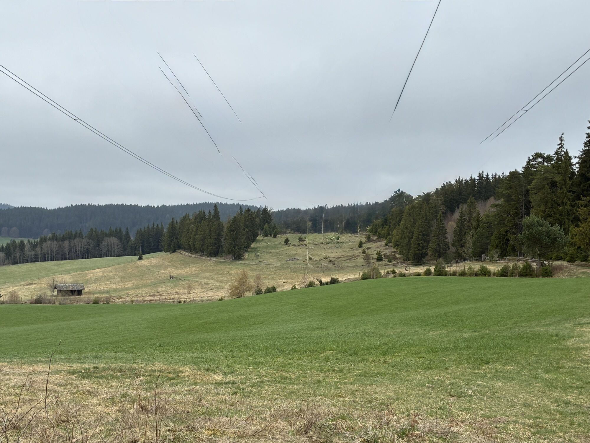
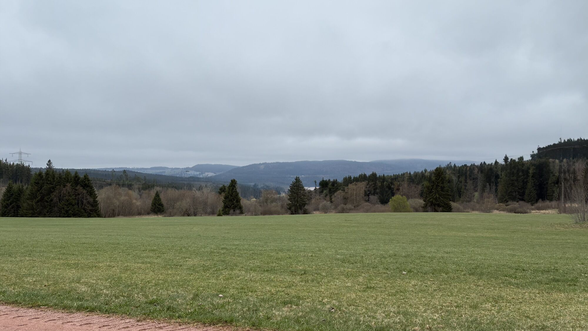
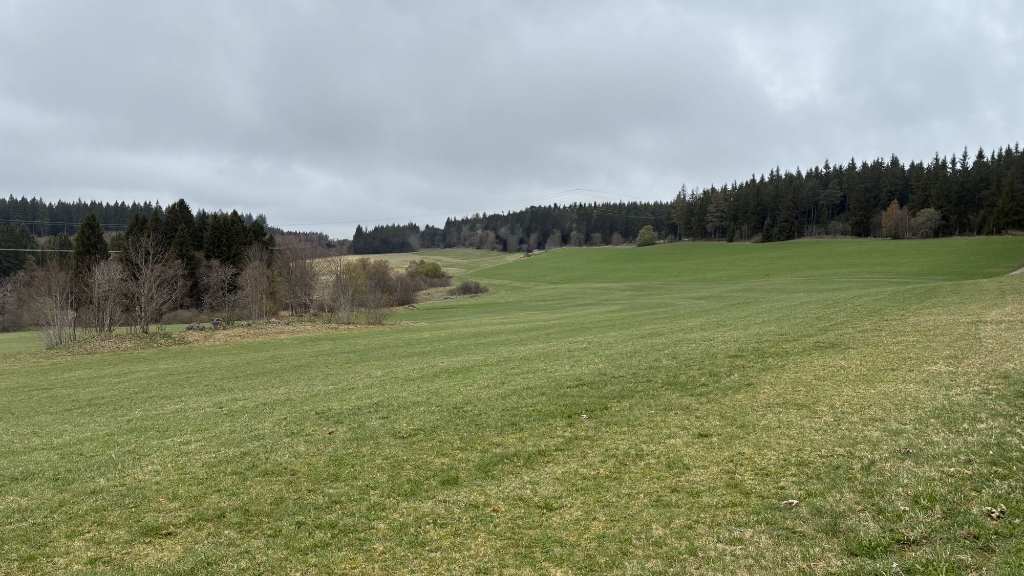
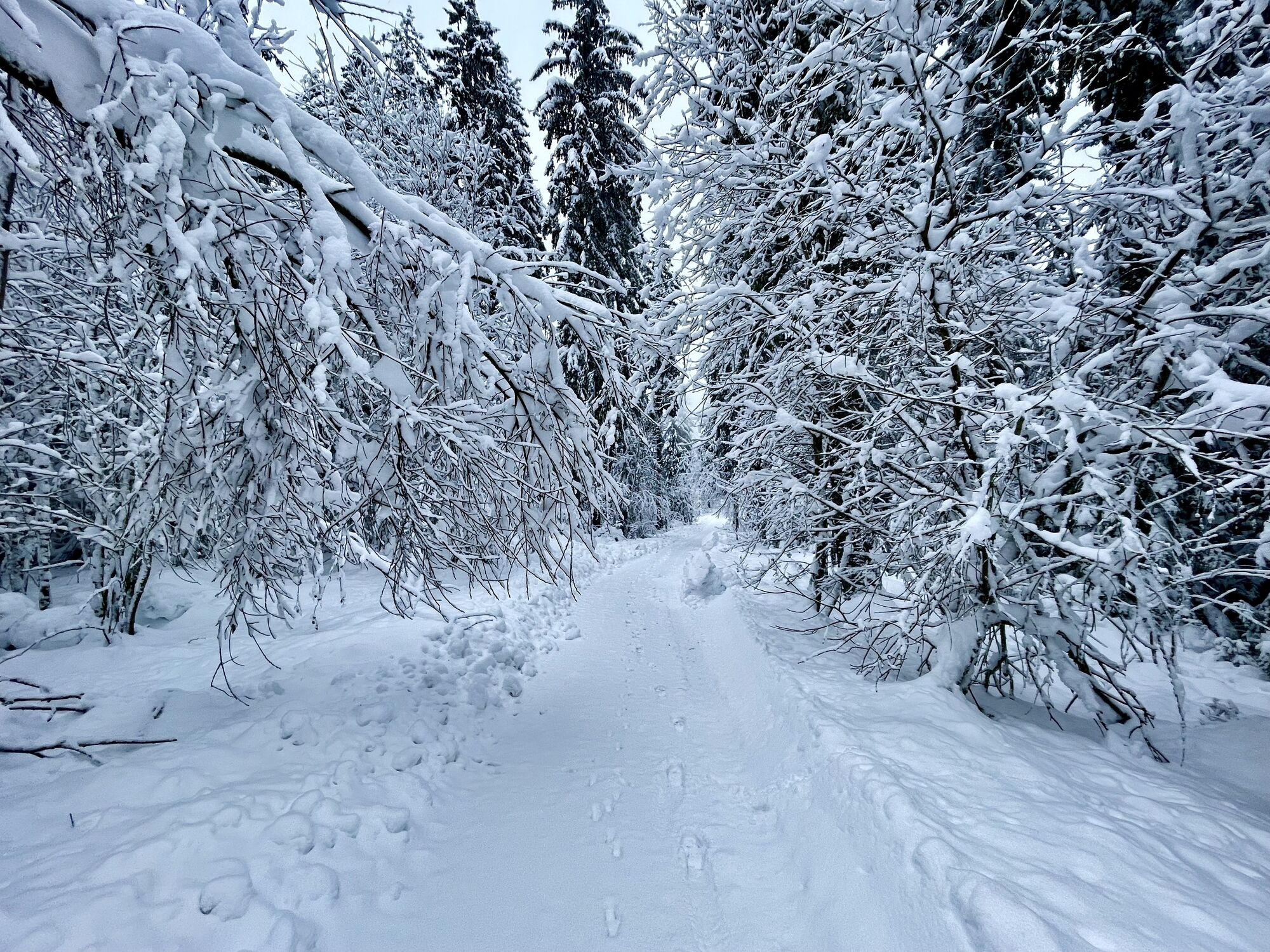
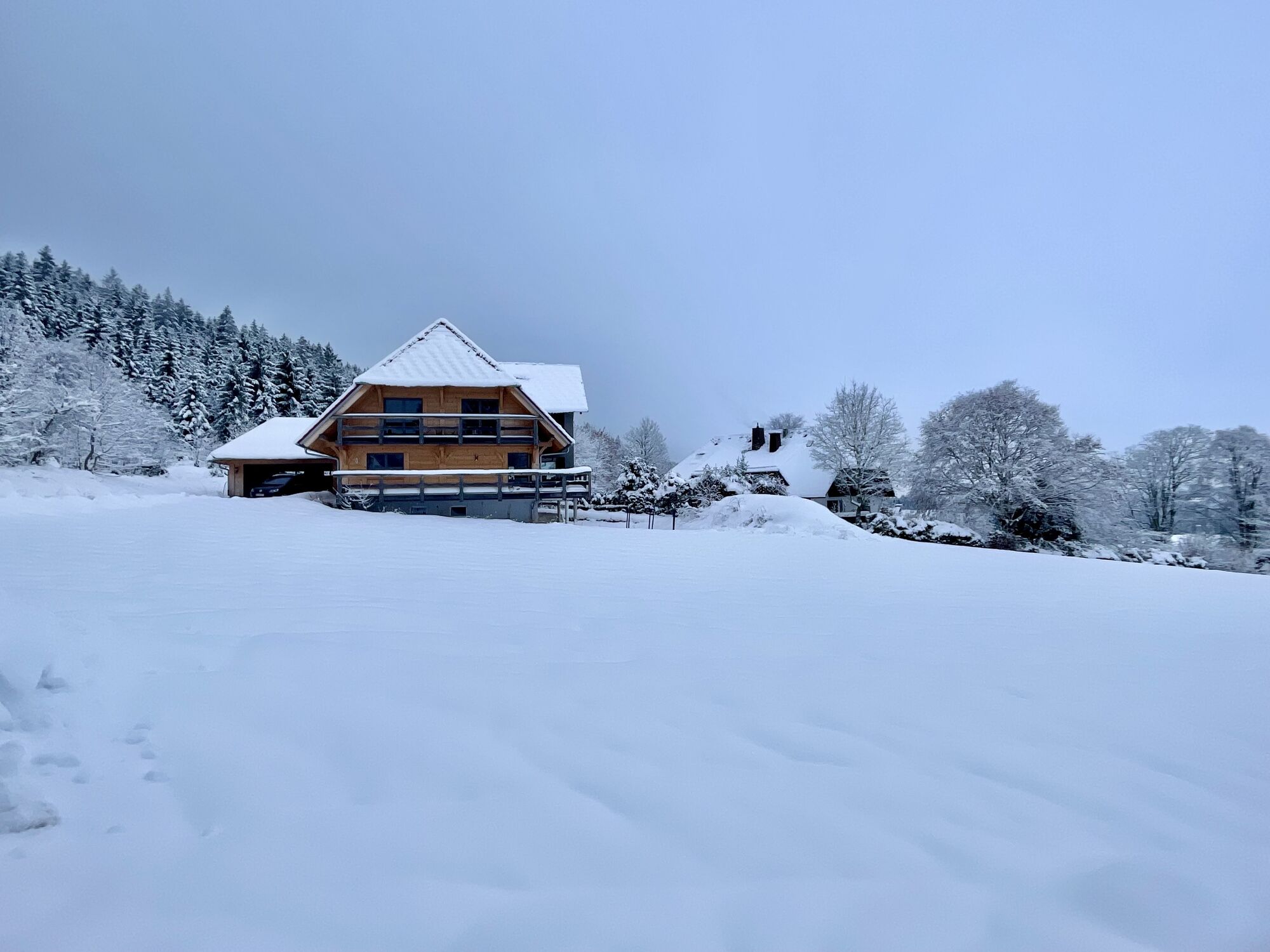
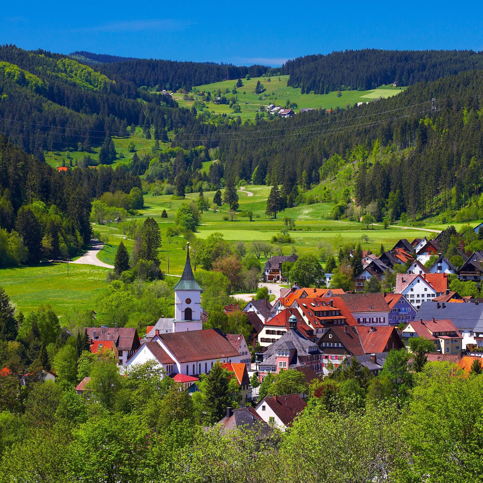
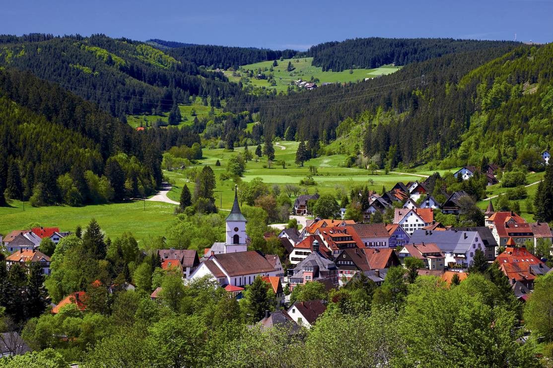
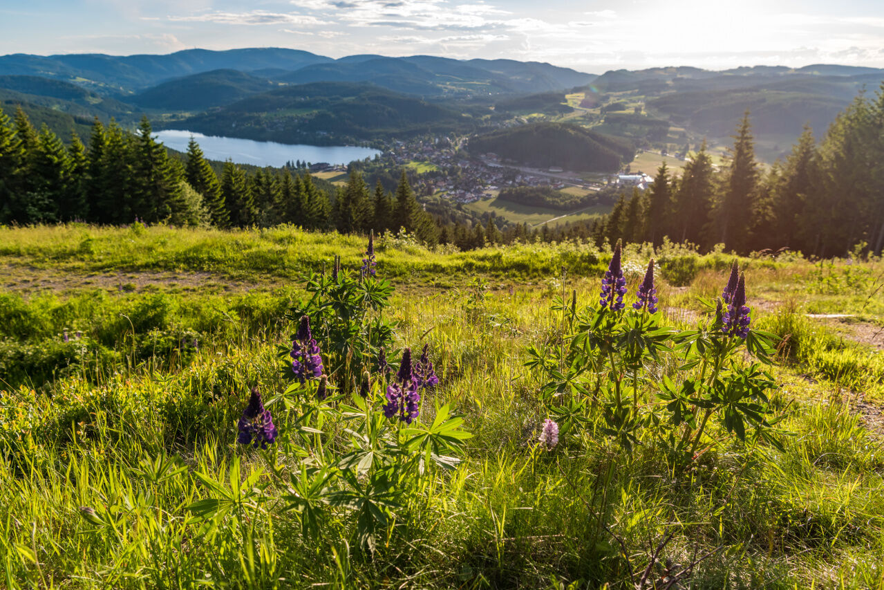
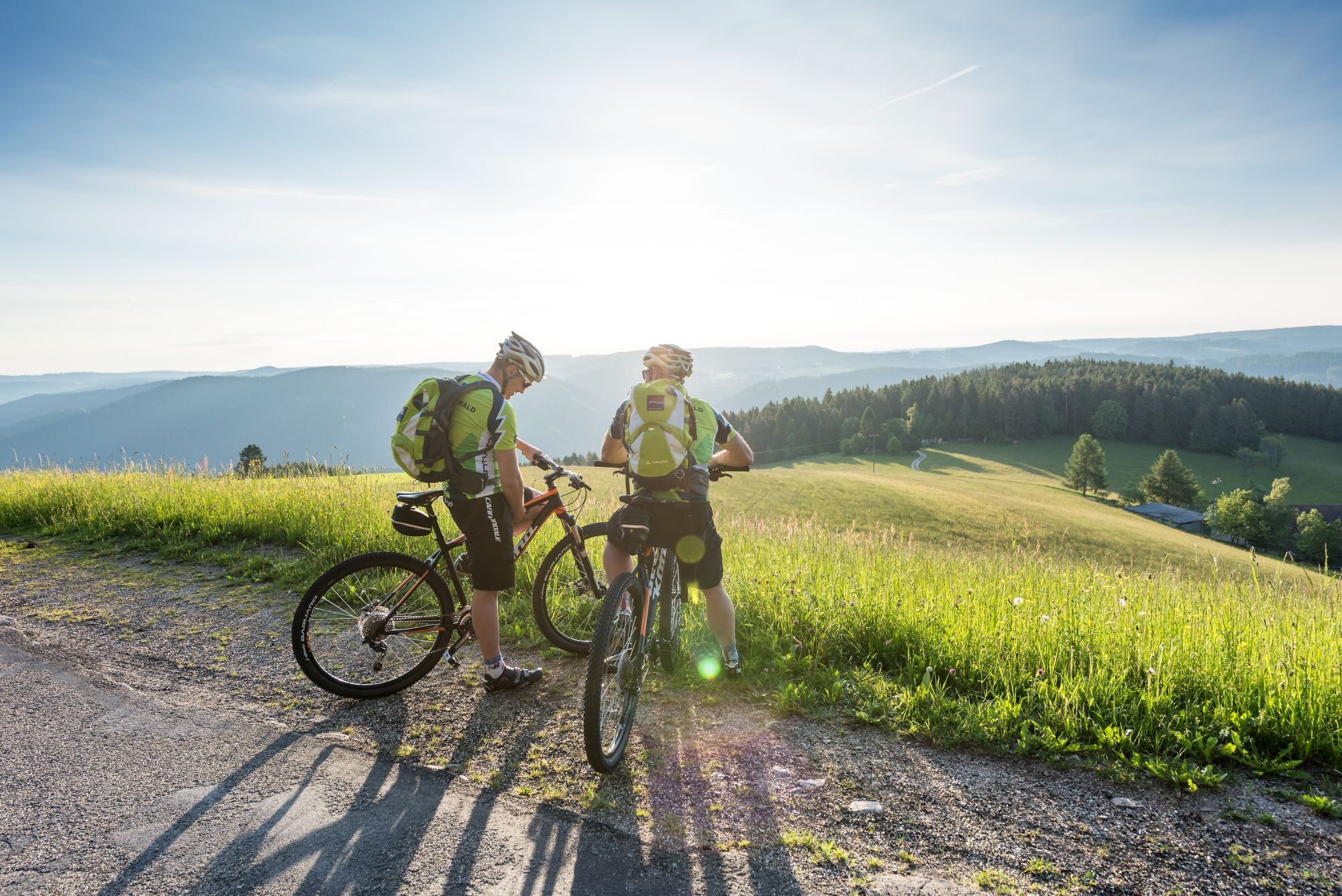
Charming mountain landscape and forests around Lenzkirch


Directions:
Start at the tourist information centre at the
Kurhaus in Lenzkirch and leave the town on Freiburger Straße. Turn off towards the industrial estate and after a short climb you will reach the...
Directions:
Start at the tourist information centre at the
Kurhaus in Lenzkirch and leave the town on Freiburger Straße. Turn off towards the industrial estate and after a short climb you will reach the
the ‘Wasserwerk’ (marvellous view of Lenzkirch). The route continues through
Bergerhalde, then past the ‘Berger Stierhütte’ to the Windgfällweiher
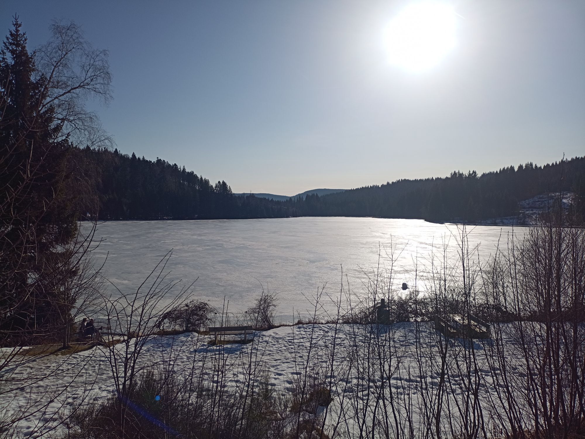
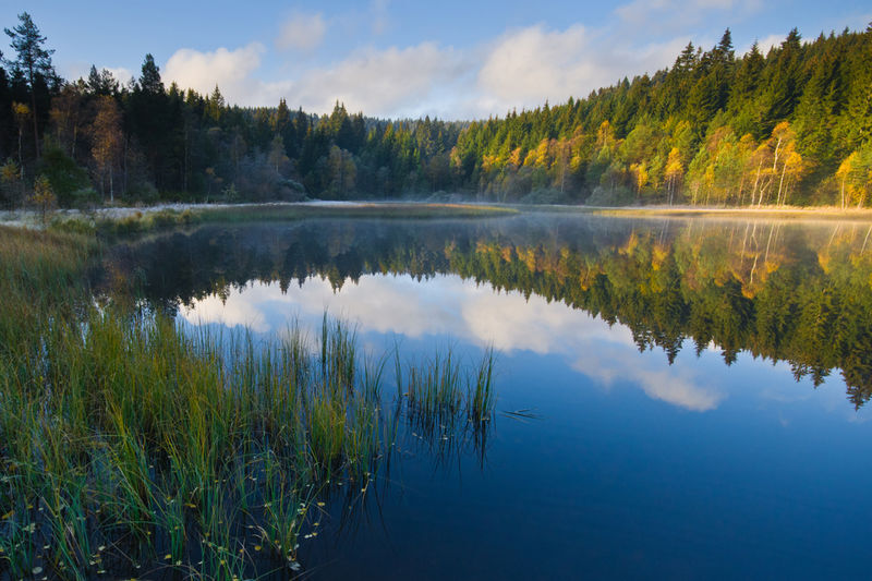
Windgfällweiher pond, which invites you to take a refreshing break. Past the
past the lush green high pastures of Raitenbuch, the trail leads over the
Fischbacher Höhe to the open Hinterhäuser (shortcut to Lenzkirch possible).
Lenzkirch is possible).
The tour first runs along the Waldhofweg, then past the wind turbine
at the ‘Olpenhütte’ (former glassworks) to Grünwald, from where you can enjoy a far-reaching view. After a brisk descent and
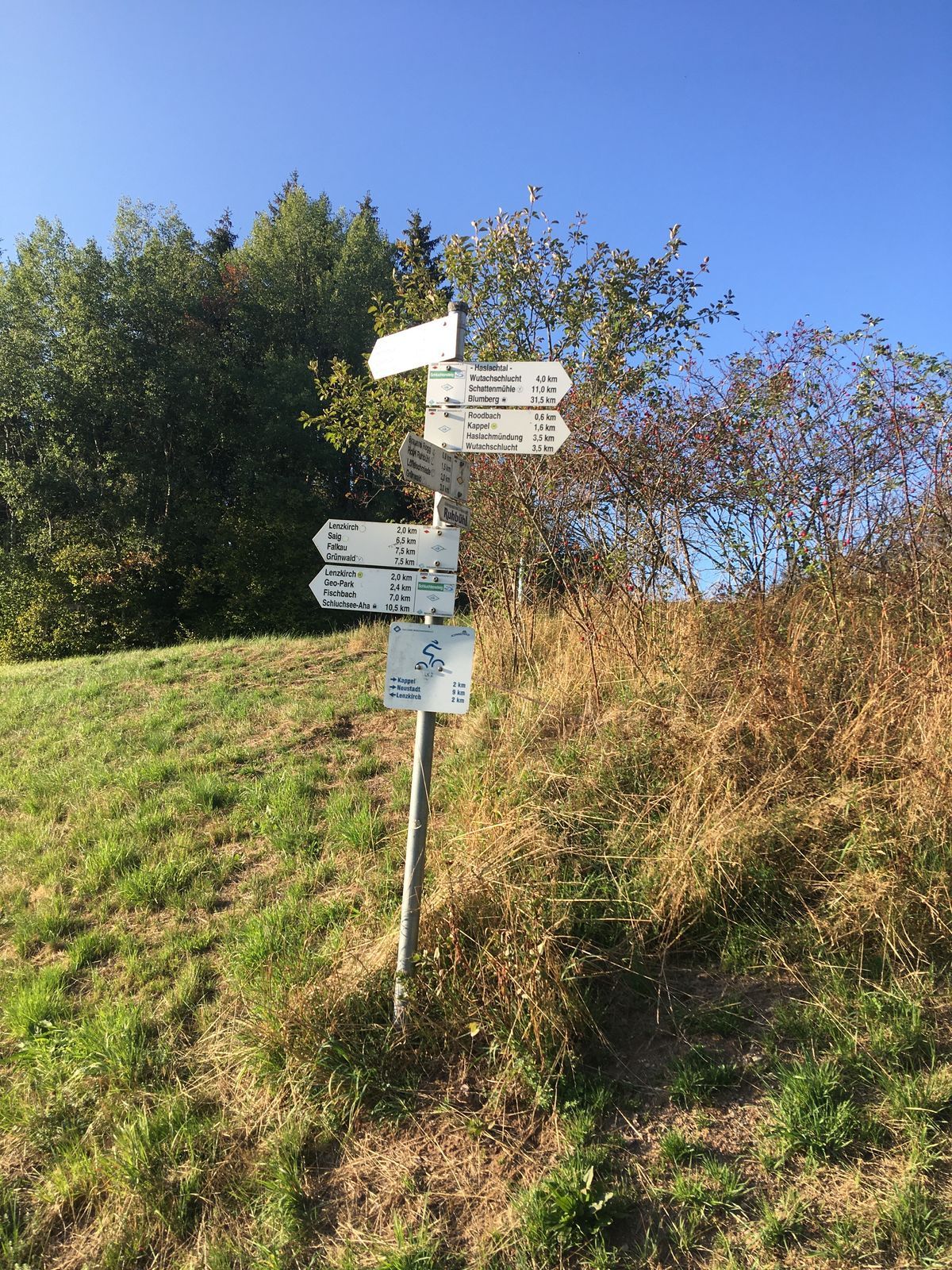
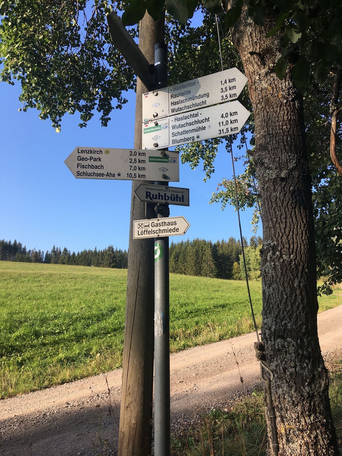
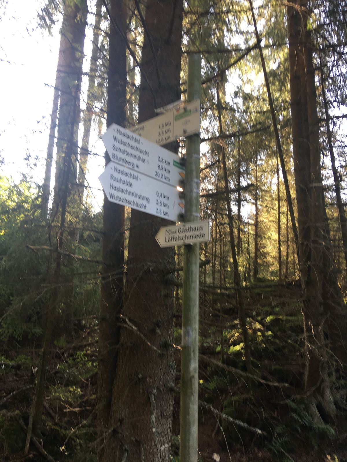
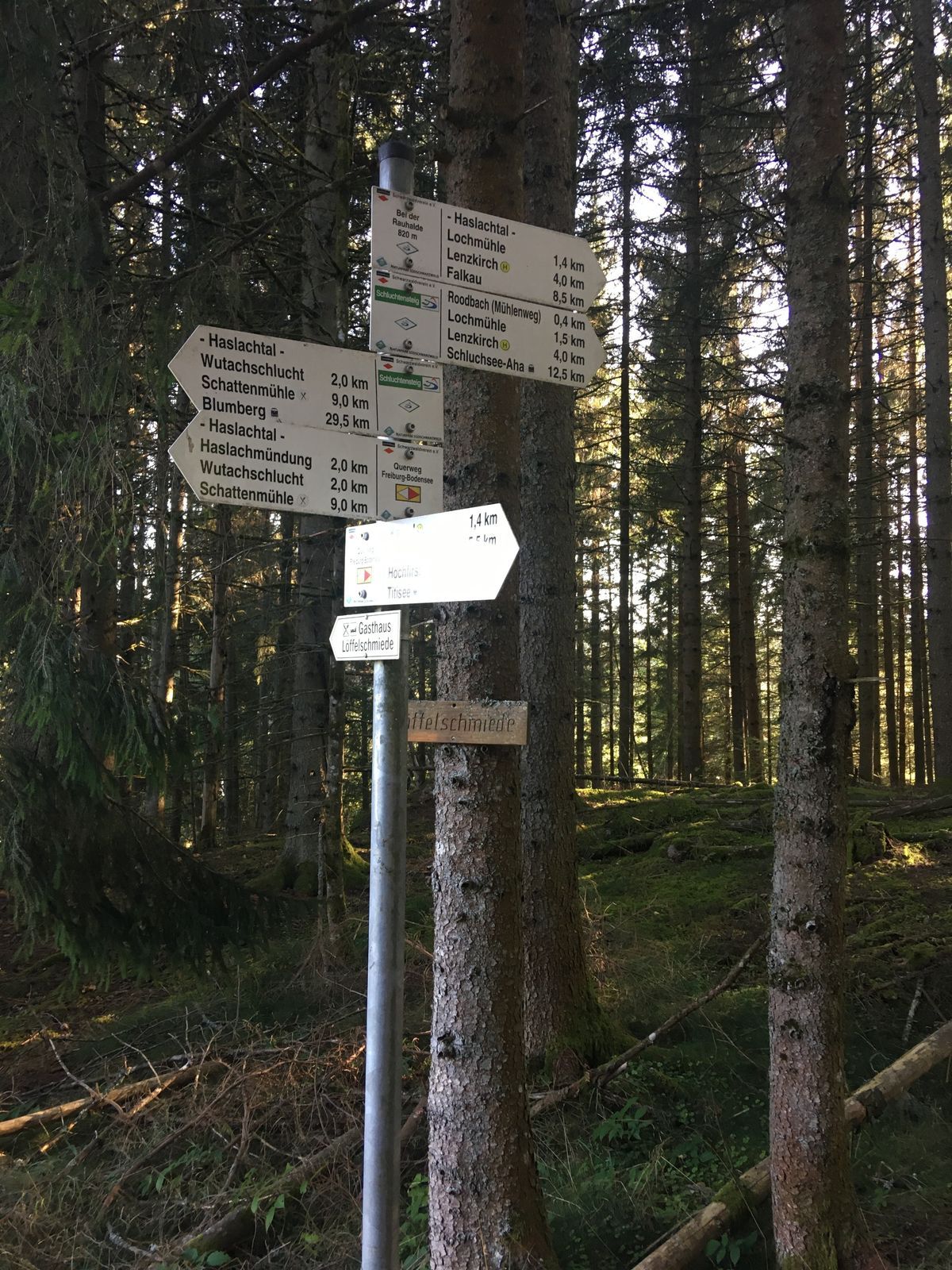
crossing the B315 you reach the Löffelschmiede. For a short distance
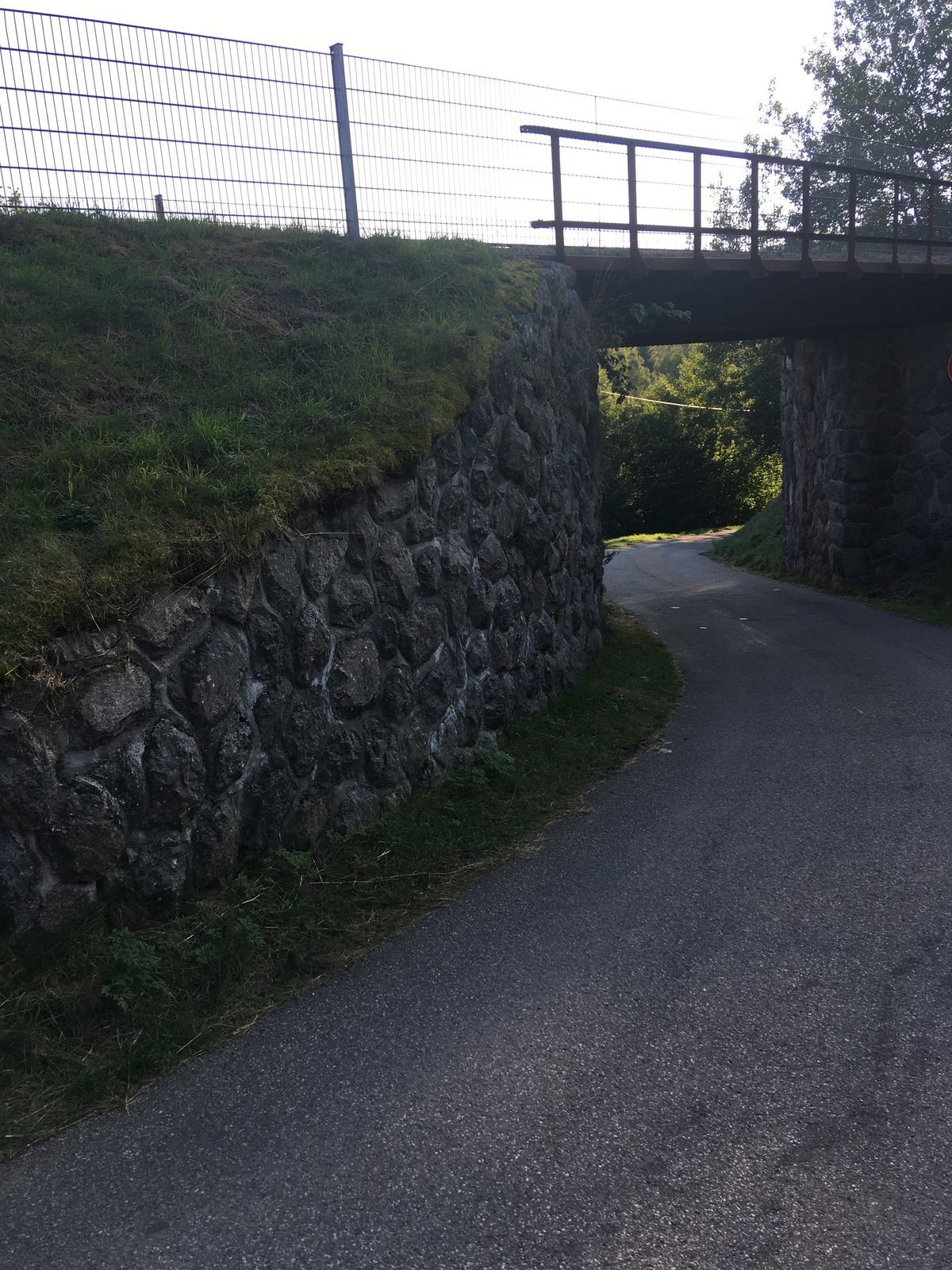
follow the ‘Bähnleradweg’ and then turn off into the Haslachschlucht gorge.
A small tarred road leads up to Kappel and then continues steeply uphill
to the ‘Franzosenkreuz’ where you can enjoy a marvellous panorama.
Through the forest, past Hierabrunnen, you reach the Hochfirst with its 25 metre high tower. Through Saig and past the Hierakreuz
it is almost all downhill to the starting point in Lenzkirch.

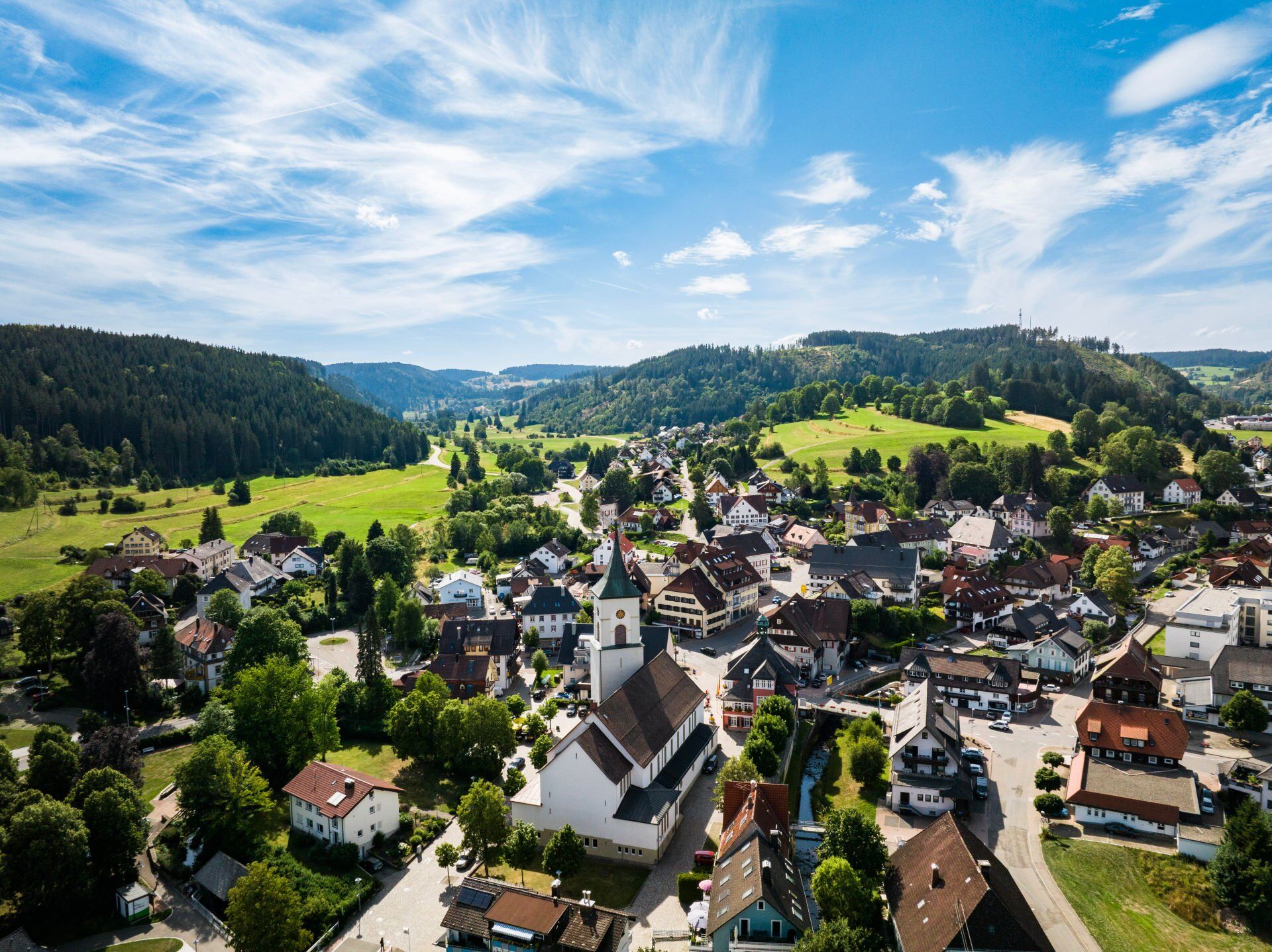
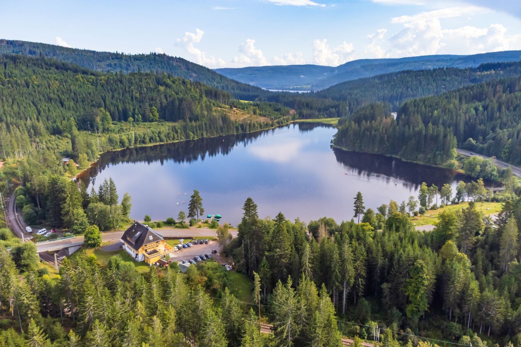
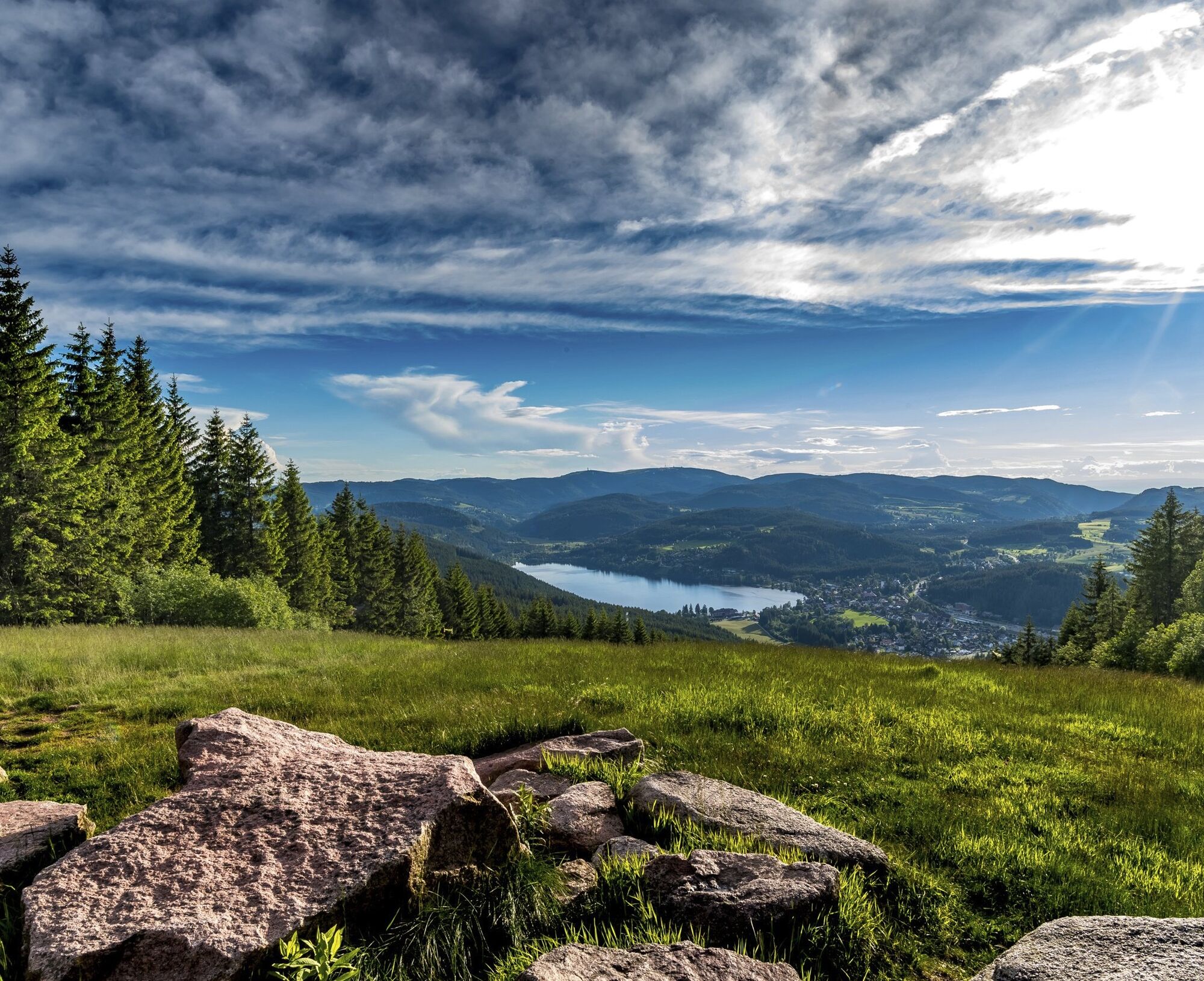

You start at the tourist information centre at the Kurhaus in Lenzkirch and leave the town on Freiburger Straße. Turn off towards the industrial estate and after a short climb you will reach the ‘Wasserwerk’ (waterworks) (wonderful view of Lenzkirch). Continue through the Bergerhalde, then past the ‘Berger Stierhütte’ to the Windgfällweiher pond, which invites you to take a refreshing break. Passing the lush green high pastures of Raitenbuch, the trail leads over the Fischbacher Höhe to the open Hinterhäuser (shortcut to Lenzkirch possible).
The tour first takes you along the Waldhofweg, then past the windmill at the ‘Olpenhütte’ (former glassworks) to Grünwald, from where you can enjoy far-reaching views. After a brisk descent and crossing the B315, you reach the Löffelschmiede. Follow the ‘Bähnleradweg’ cycle path for a short distance and then turn off into the Haslachschlucht gorge. A small tarred road leads up to Kappel and then steeply up to the ‘Franzosenkreuz’, where you can enjoy a magnificent panorama. Through the forest, past Hierabrunnen, you reach the Hochfirst with its 25 metre high tower. Through Saig and past the Hierakreuz, it is almost all downhill to the starting point in Lenzkirch.
Tak
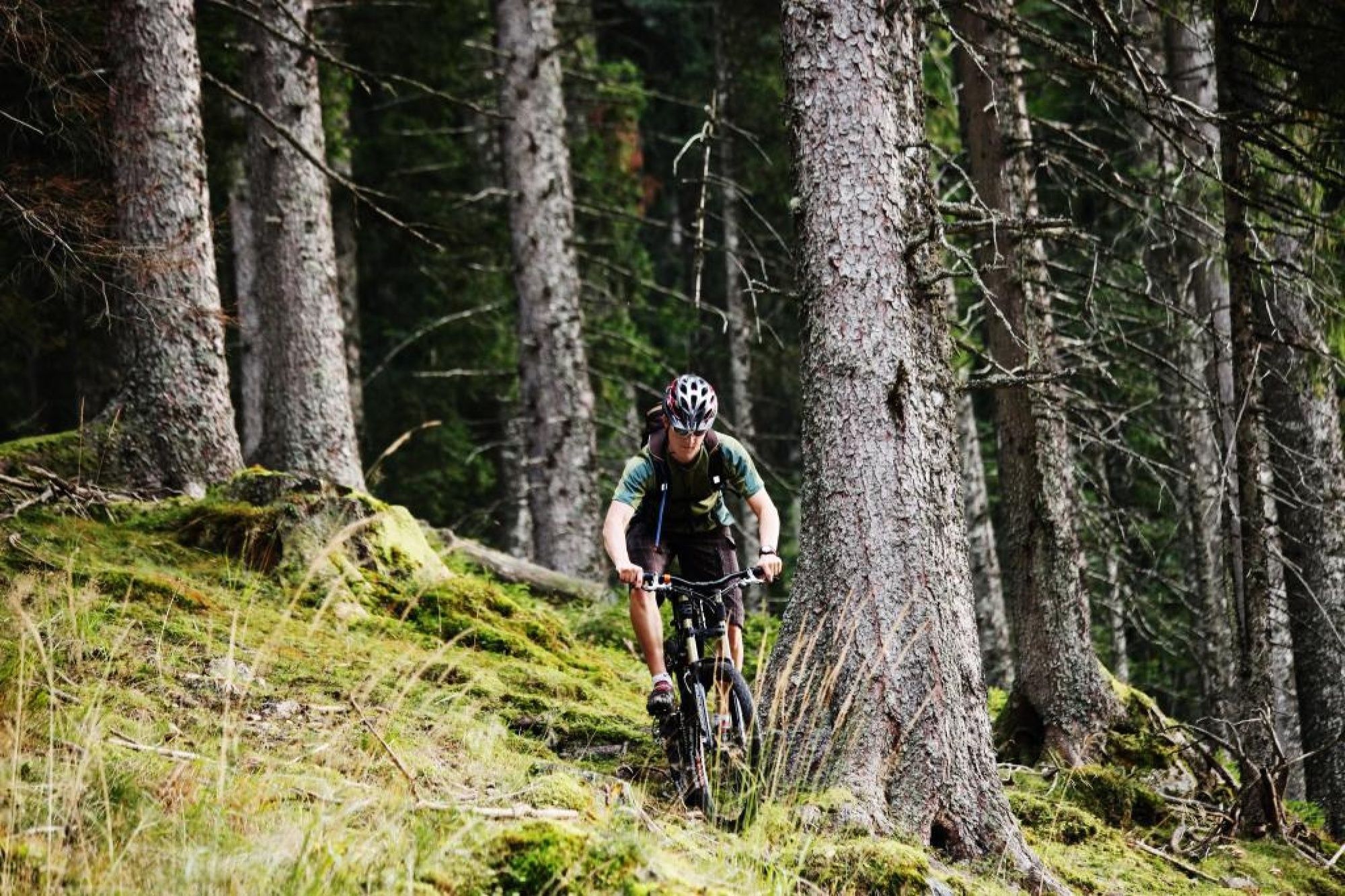
We recommend the wearing of a helmet.
Kurhaus Lenzkirch
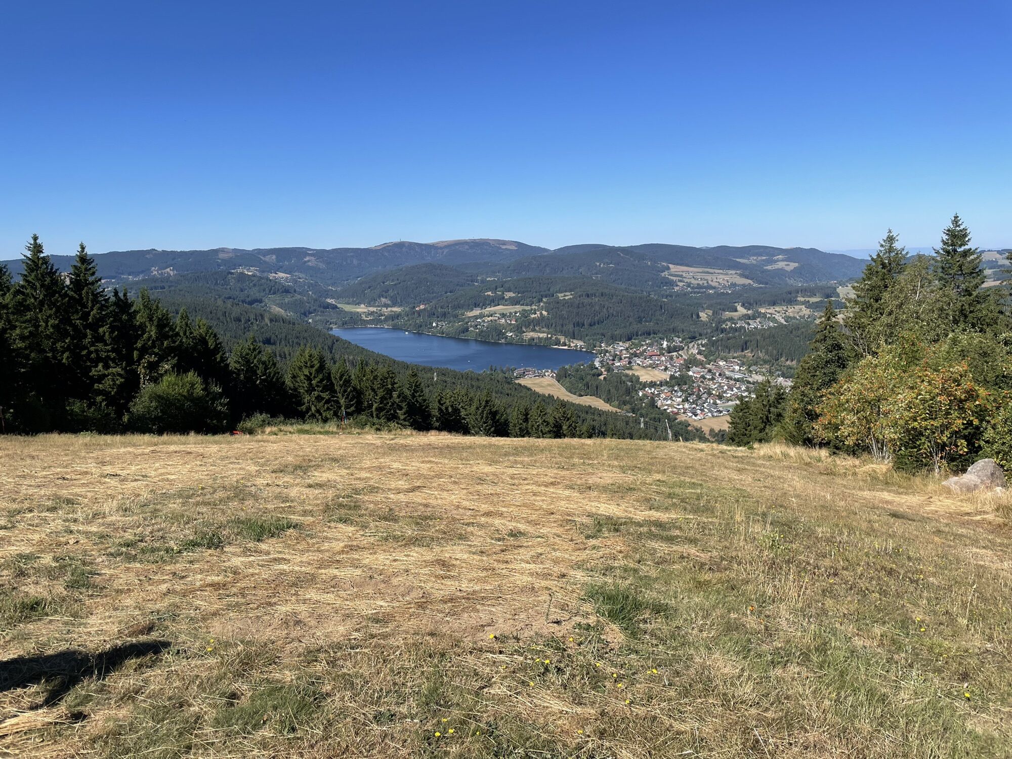
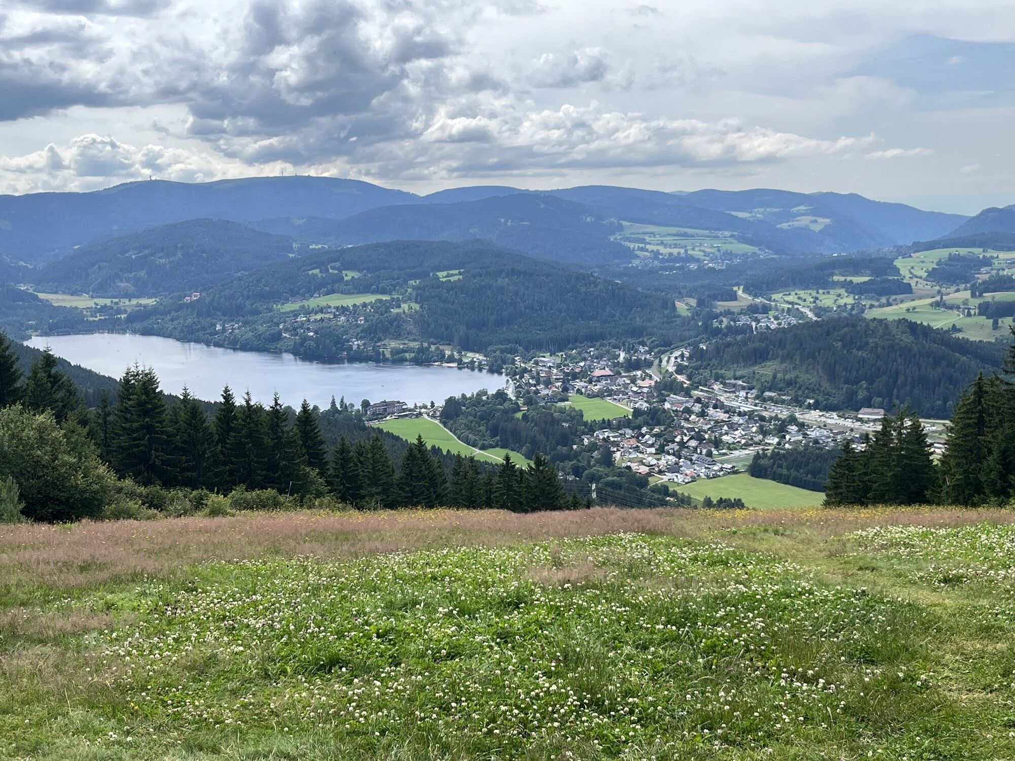
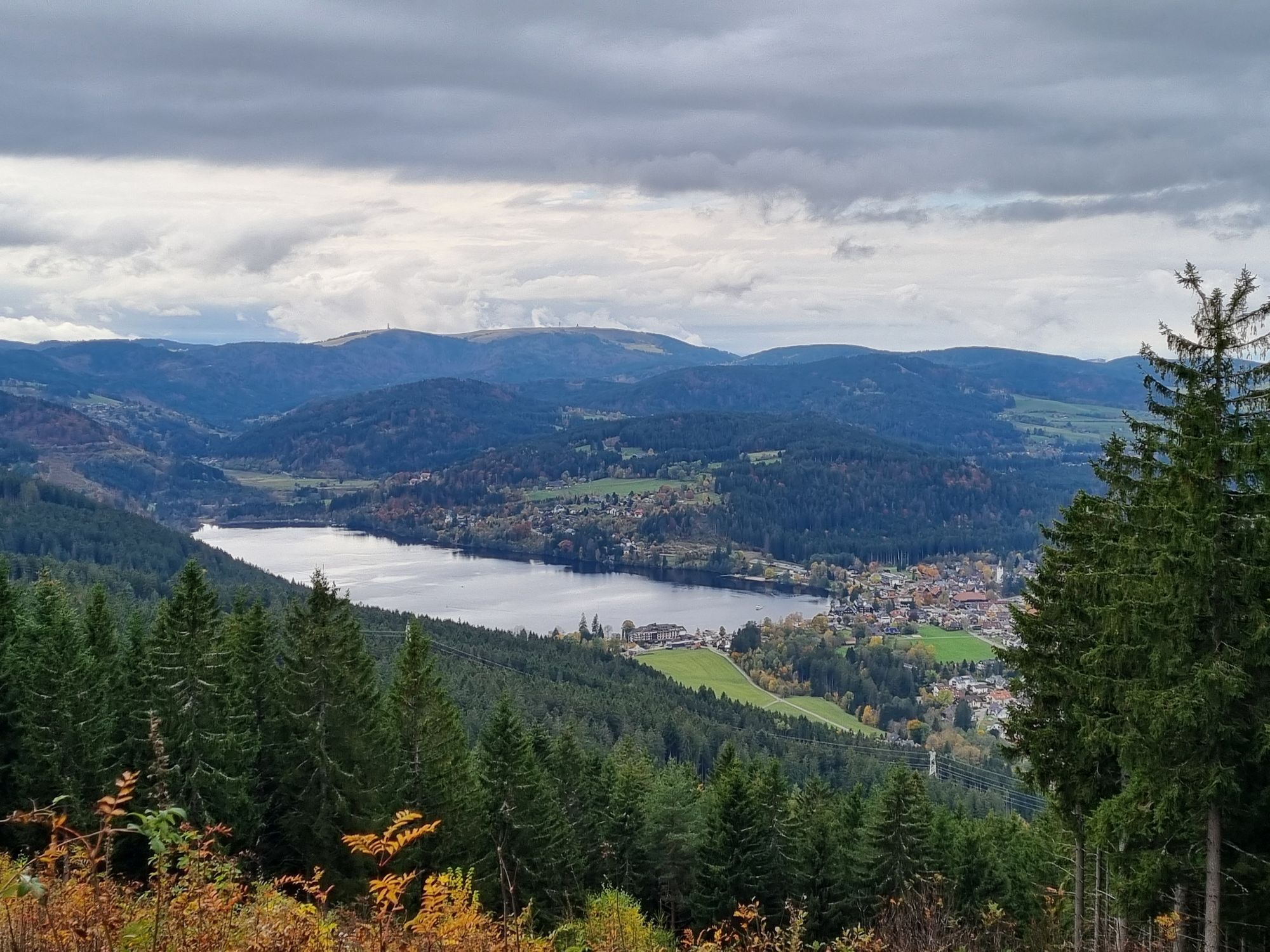
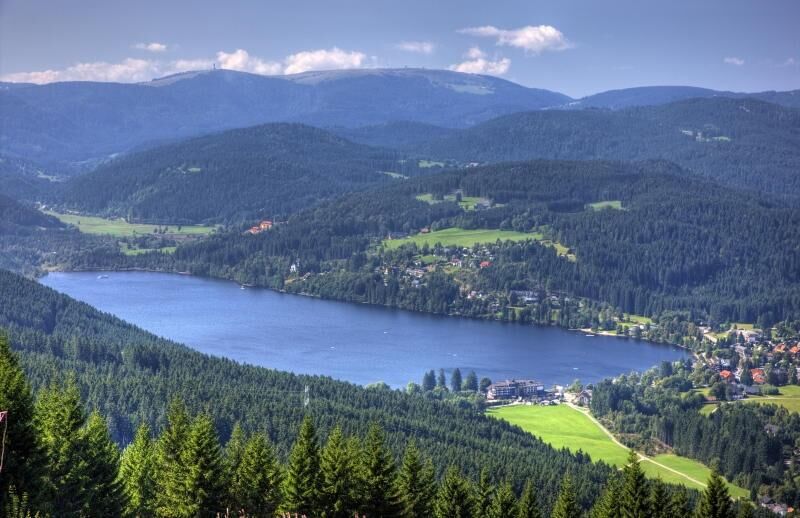
Compensation for all the exertions and the crowning glory of the tour is the magnificent view from the Hochfirst to the Titisee & Feldberg.
Kamery internetowe z trasy
-
Feldberg - Falkau
-
Skilift Fischbach
-
Schluchsee - Wiesengrundpark
-
Hinterzarten - Adlerschanze
-
Hinterzarten - Adler-Skistadion
-
Kappel / Lenzkirch
-
Göschweiler - Hohe Wacht
-
Göschweiler - Hohe Wacht
-
Göschweiler - Hohe Wacht
-
Lenzkirch Kappel Talweg
-
Feldberg - Altglashütten
-
Rothaus - Brauerei
-
Rothaus - Sudhaus
-
Rothaus - Biergarten
-
Dorf / Lenzkirch Saig Hochfirstweg
-
Alpen / Lenzkirch Saig Hochfirstweg

Popularne wycieczki w okolicy
-
4,7
Black Forest Highlands heritage trail - mills and saws in the gorge
średniWędrówka 7,42 km -
3,9
Seerundweg Titisee
światłoWędrówka 5,84 km -
4,7
Premium Hiking Trail - 3-Schluchten Tour
średniTrasa tematyczna 9,62 km -
4,2
Höhenklimaweg Titisee-Rundweg
średniWędrówka 7,44 km -
4,7
Wutachschlucht Rundwanderung im Süd Schwarzwald
średniWędrówka 9,76 km -
3,9
From Titisee to the Hochfirst with its stunning views
średniWędrówka 10,6 km -
3,7
Premium Hiking Trail- Säbelthomaweg
średniTrasa tematyczna 11,3 km -
4,7
Premium Hiking Trail - Rötenbach Gorge
średniTrasa tematyczna 10,1 km -
4,7
Premium Hiking Trail - Menzenschwander Geißenpfad
średniTrasa tematyczna 9,78 km -
4,7
Seerundweg Schluchsee
średniWędrówka 17,7 km
Wędrówki i tropienie


Nie przegap ofert i inspiracji na następne wakacje
Twój adres e-mail została dodana do listy mailingowej.





