


Hike on the Geological Circular Trail Gamserrugg
Why do we find marine shells on mountain peaks? These and many other questions are answered on 12 informative panels along the approximately 5 km long geological circular trail around the Gamserrugg. During...
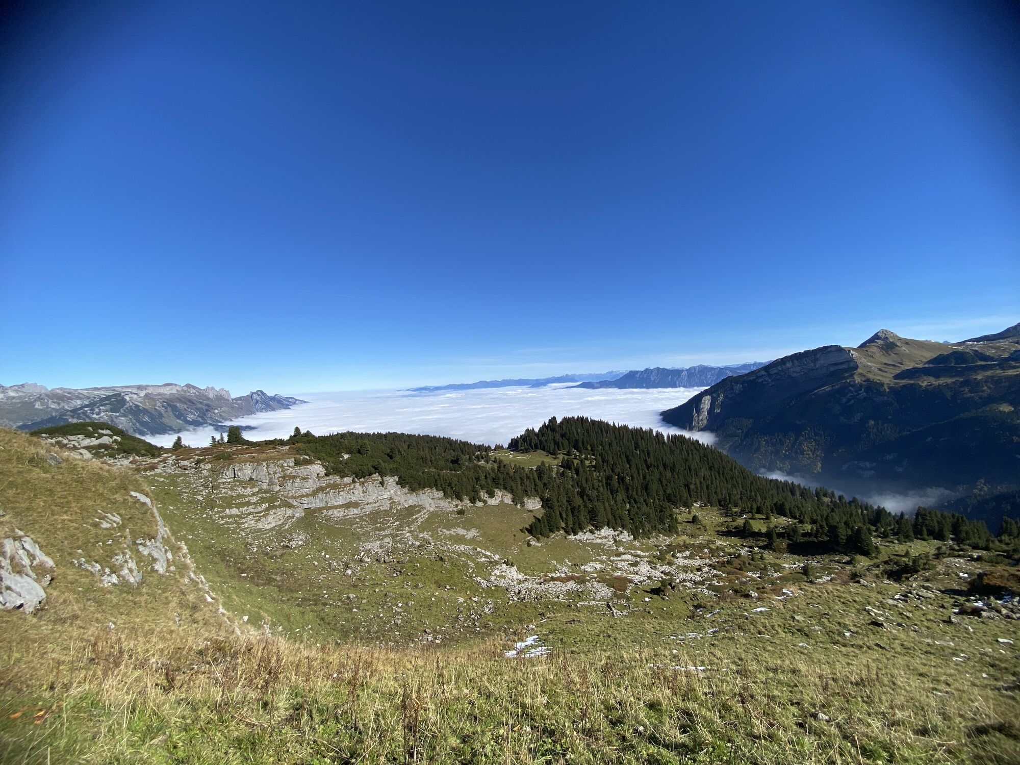
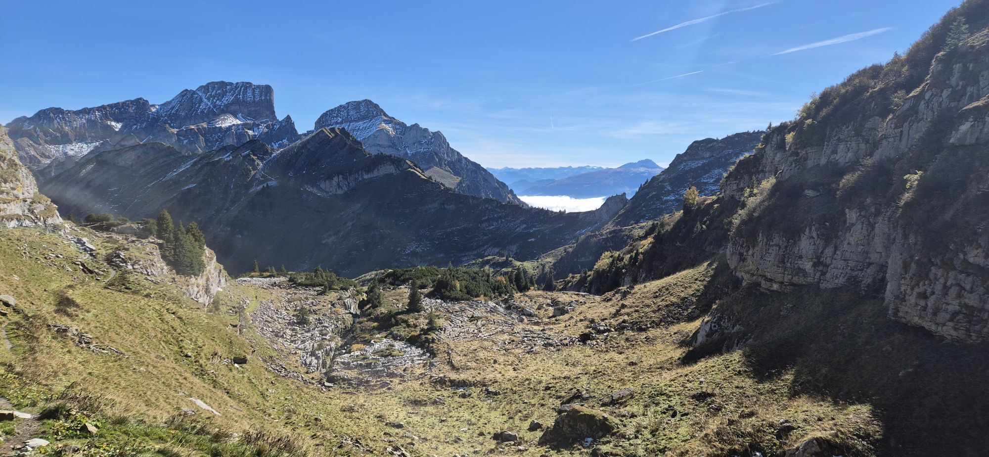
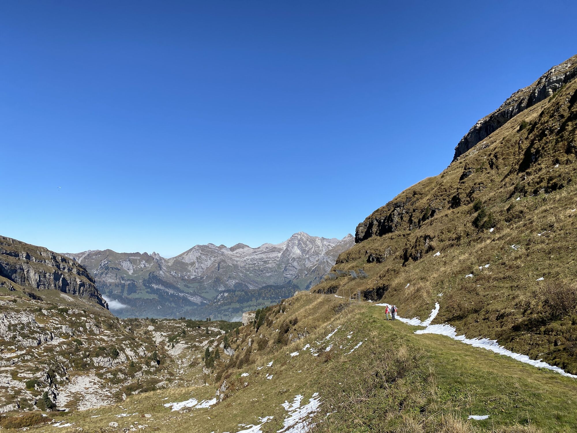
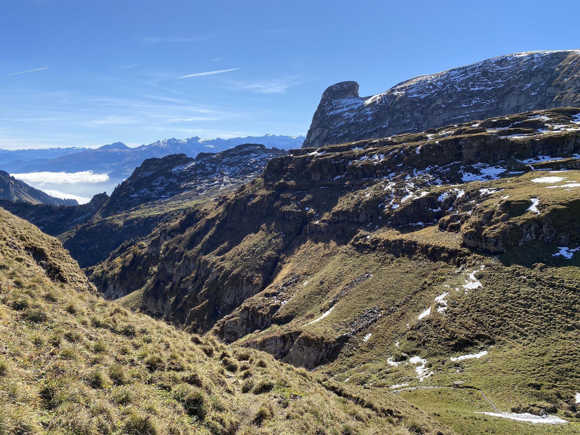
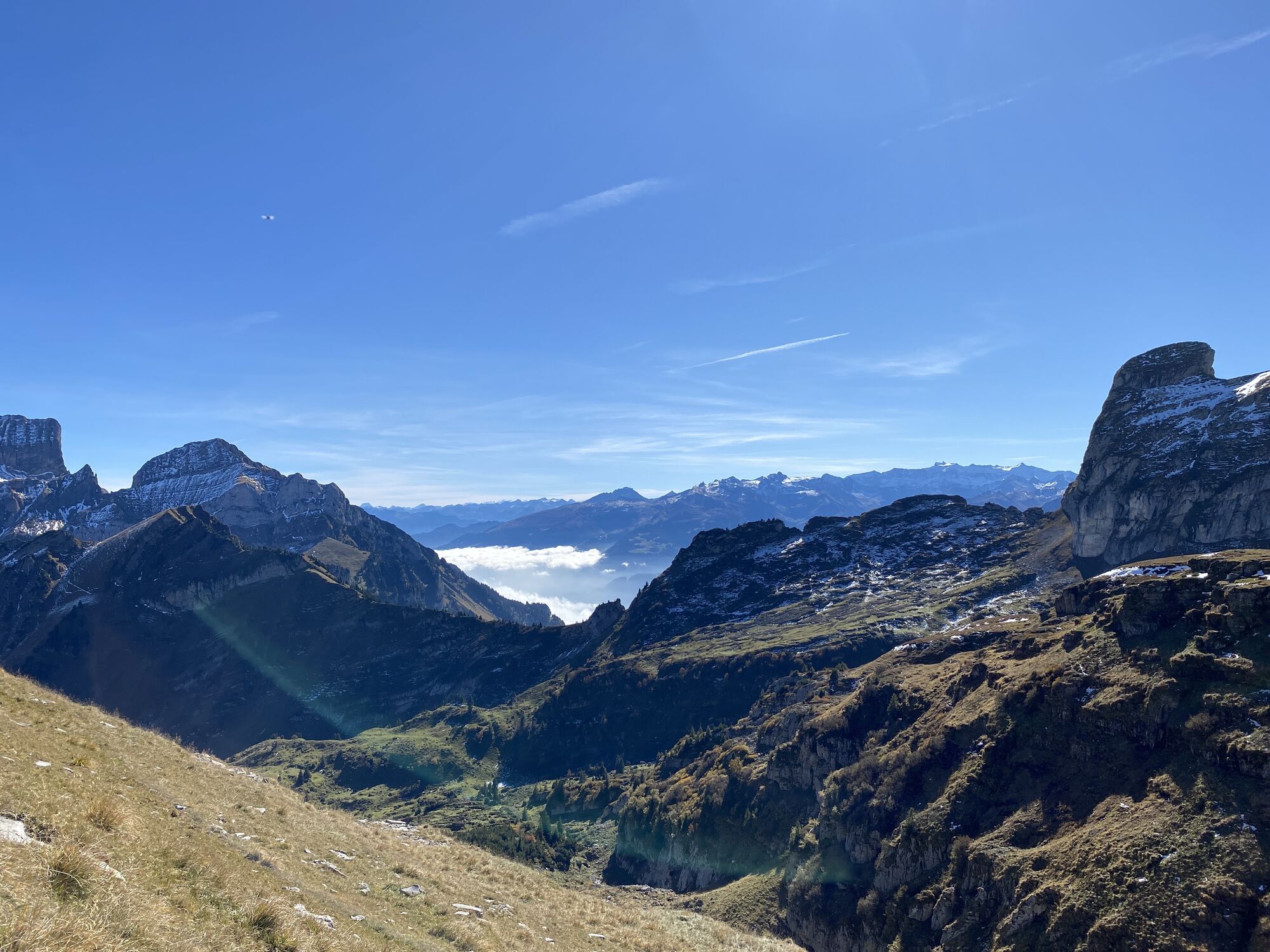
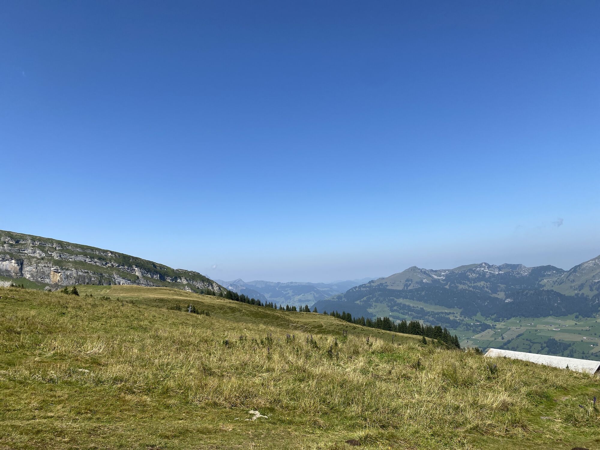
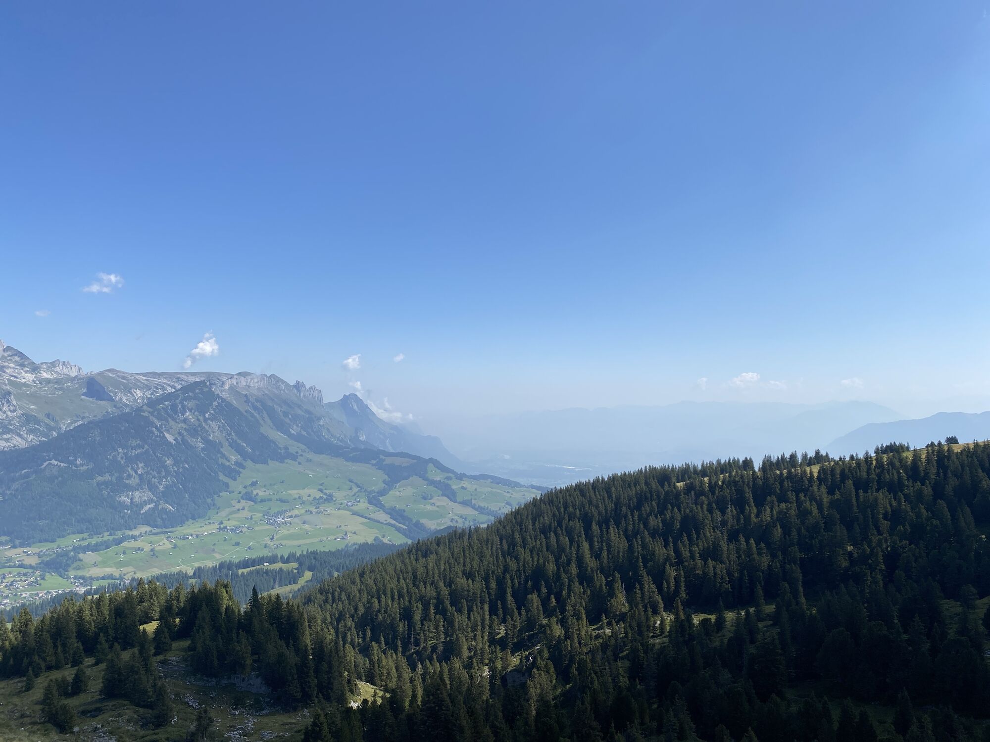
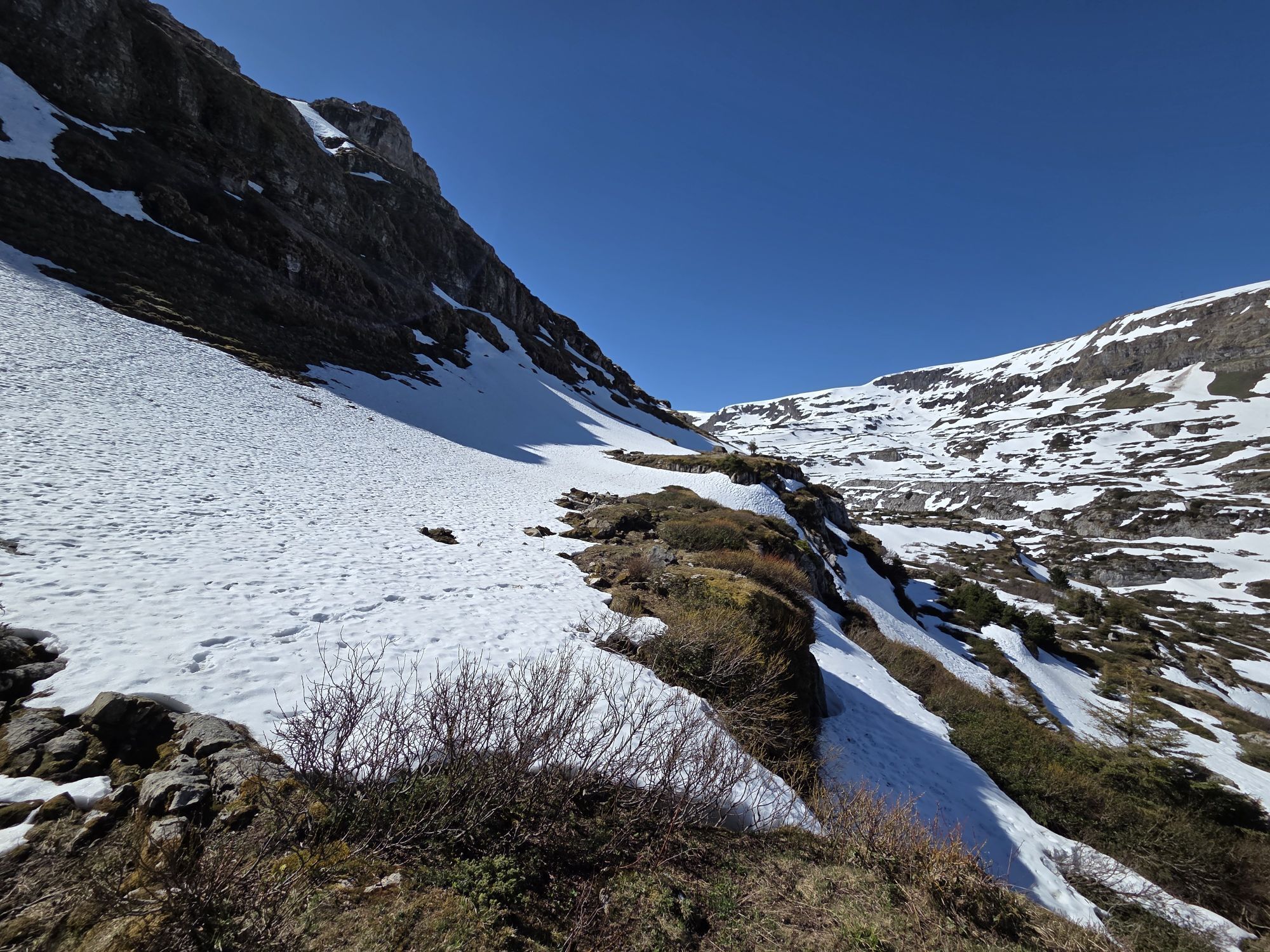
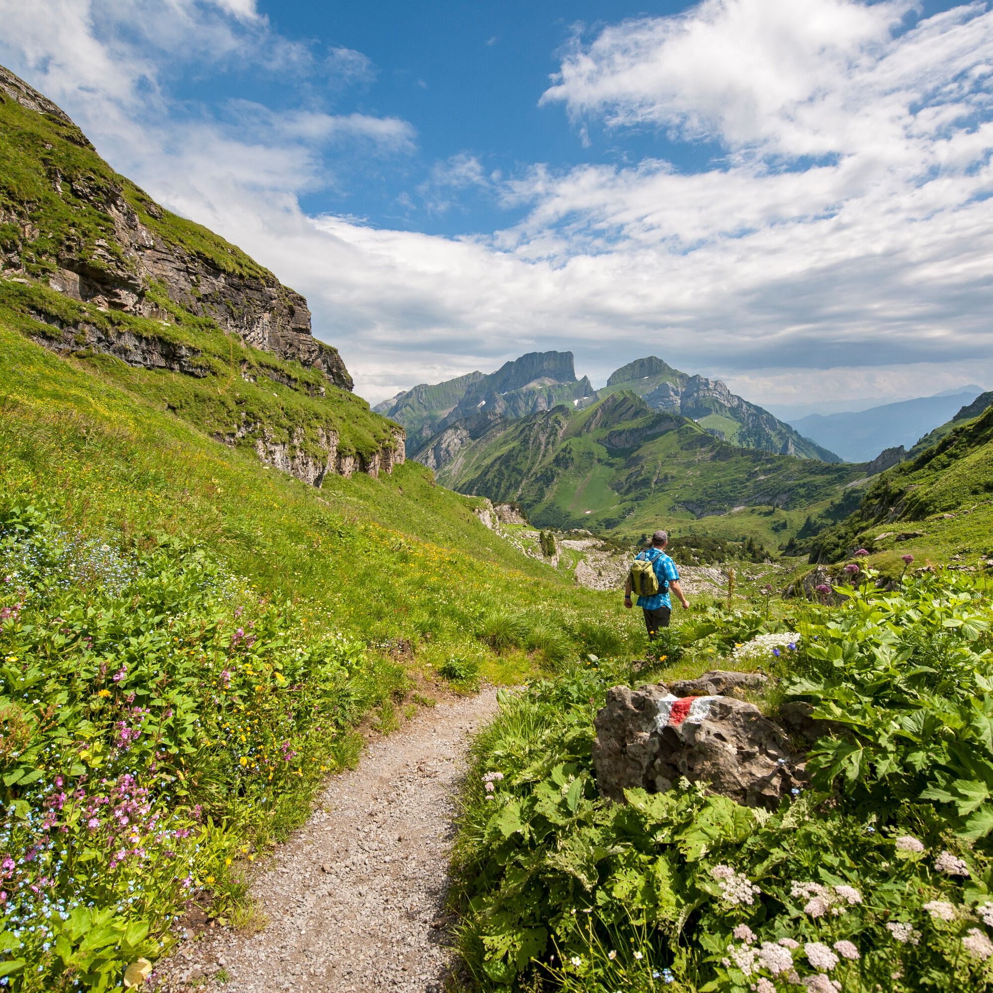
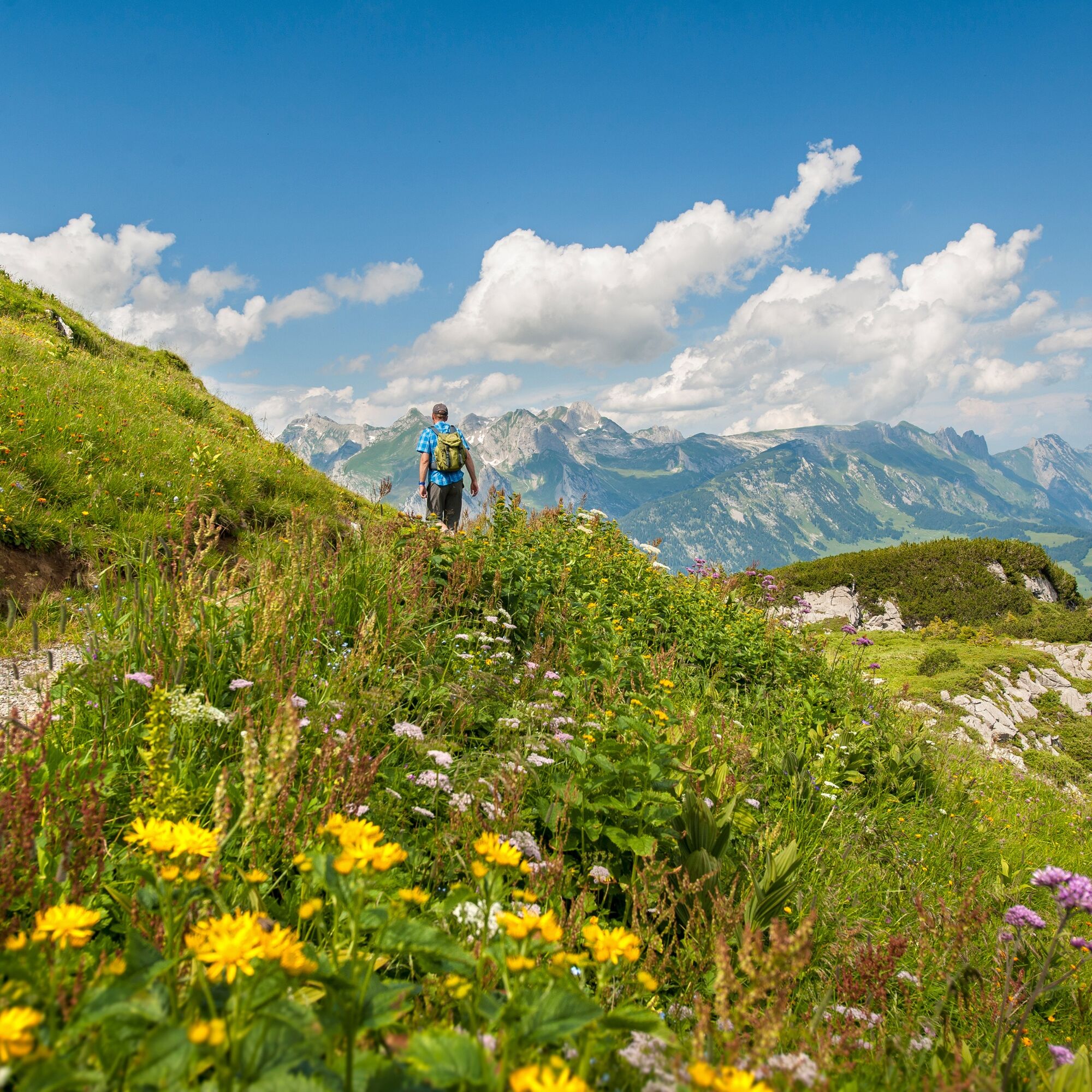
Why do we find marine shells on mountain peaks? These and many other questions are answered on 12 informative panels along the approximately 5 km long geological circular trail around the Gamserrugg. During the alpine summer, the trail leads right through pastures grazed by cattle and sheep. Very often, the very active marmots can also be observed. Hiking time about 3 hours.
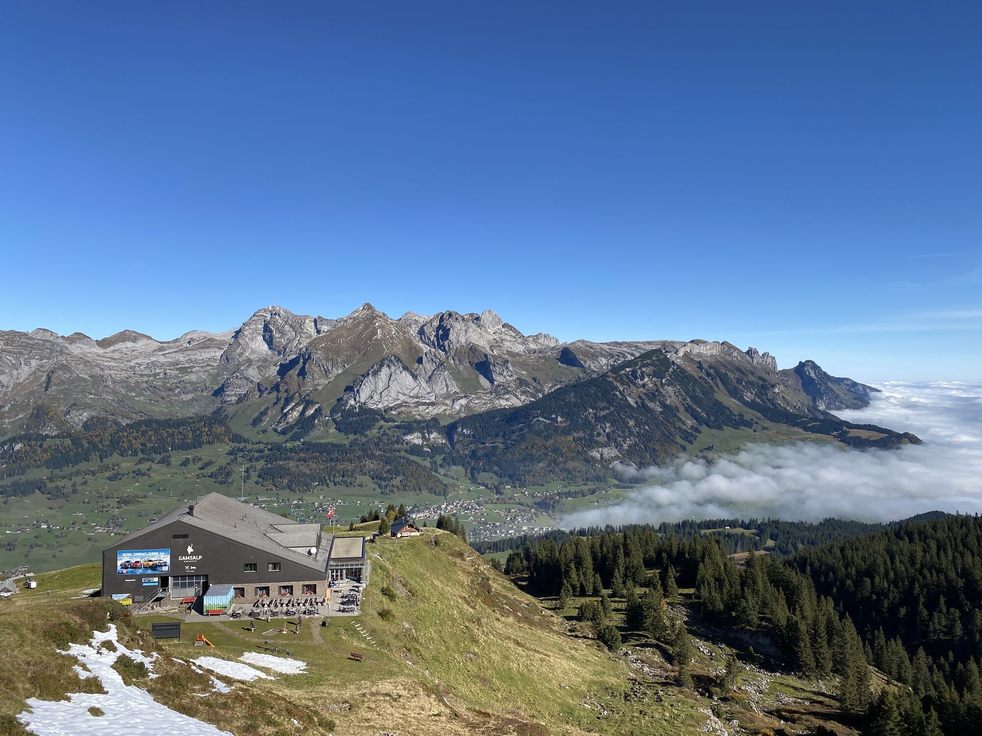
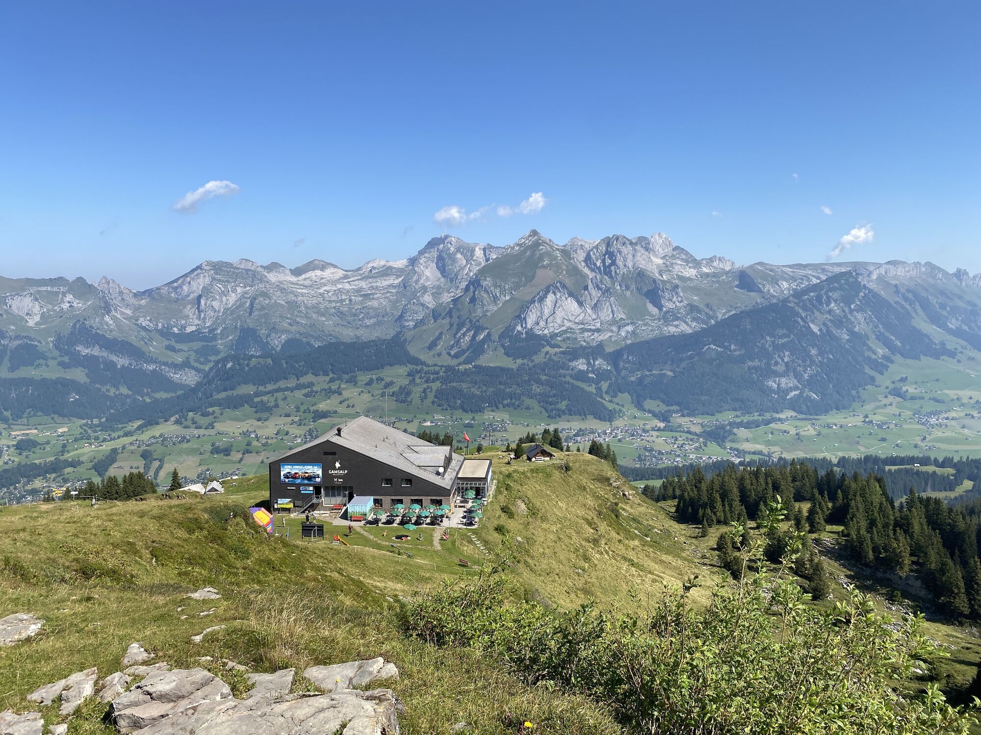
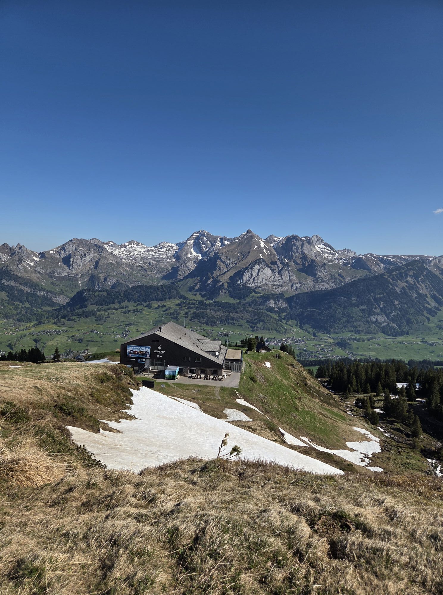
The geological circular trail Gamserrugg is accessible – depending on snow melt – from the end of June until about mid-October. The starting point is Gamsalp at 1,770 meters above sea level, which can be conveniently reached by two chairlifts. There is a place to eat at the Berggasthaus Gamsalp before or after the hike.
Guided Tours
For a guided tour by a geologist, we will gladly provide an offer upon request.
Bergbahnen Wildhaus AG
Vordere Schwendistrasse 23
CH-9658 Wildhaus
Tel: +41 71 998 50 50
Email: bergbahnen@wildhaus.ch,


Once you arrive at Gamsalp, the geological circular trail is fully signposted.
Tak
Tak
Tak
Day hiking backpack (approx. 20 liters) with rain cover, sturdy and comfortable footwear, weather-appropriate and durable multi-layer clothing, possibly telescopic poles, sun and rain protection, provisions and drinking water, first aid kit, pocket knife, mobile phone
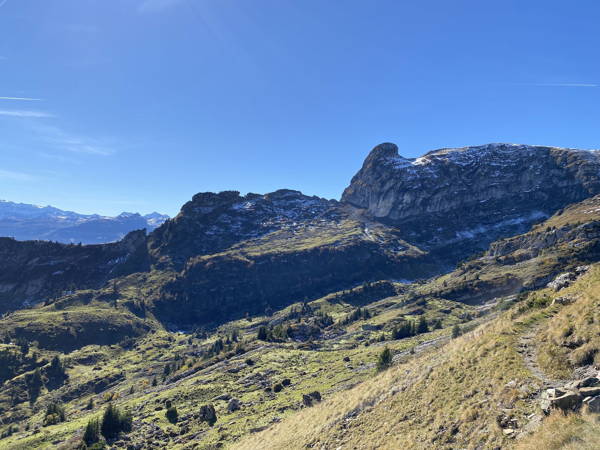
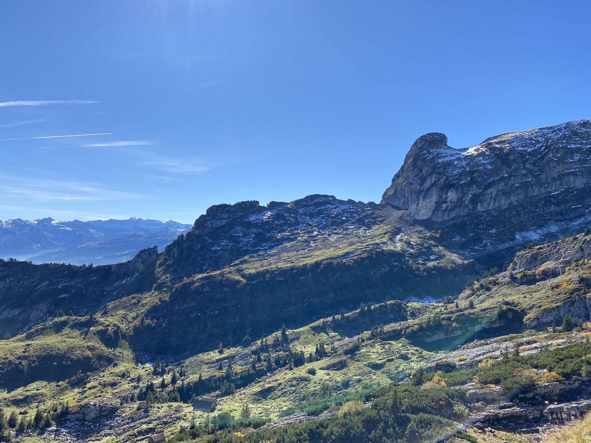
The circular route should not be left too far. The steeply falling rock walls should not be underestimated when wet.
Take the A3 at Reichenburg towards Rapperswil and then over the Ricken Pass to Wattwil. Then up through Toggenburg to Wildhaus. From Eastern Switzerland:
From St. Gallen to Herisau and further over the Wasserfluh to Lichtensteig. Or drive from St. Gallen to Wil, take the Toggenburg exit. Follow the main road to Wildhaus. From the South German region:
Via Bregenz and St. Margrethen on the A13 to Haag and take the exit towards Toggenburg/Wildhaus. Or via Konstanz to Wil, then take the Toggenburg exit and follow the main road to Wildhaus.
By train to Nesslau-Neu St. Johann or Buchs SG, then by post bus to the stop "Wildhaus Lisighaus"
At the valley station of the mountain railway, at the ice sports center, or the large Munzenriet parking lot, there are enough paid parking spaces available.
Information about the operating hours of the mountain railways, the summit restaurant Chäserrugg, and ticket prices can be found here.
More hiking offers are available on the website of Toggenburg Tourism.
Toggenburg Tourism
Hauptstrasse 104
9658 Wildhaus
Tel. +41 71 999 99 11
Take binoculars with you, very often you can observe the very active marmots or chamois.
Popularne wycieczki w okolicy
- 4,8
Walensee Riviera Weesen - Quinten
średniWędrówka 10,2 km - 4,7
Riviera Lake Walen Walenstadt-Quinten
średniWędrówka 10,4 km - 4,6
Weesen - Quinten - Walenstadt
ciężkiWędrówka 20,6 km - 4,7
Tour Brülisau - Saxerlücke - Hoherkasten⛰
ciężkiWędrówka 16,6 km - 4,6
Wasserauen - Seealpsee - Wasserauen
średniWędrówka 7,71 km - 4,9
Säntis-Gipfeltour, Wasserauen / Appenzell Innerrhoden
ciężkiWędrówka 21,1 km - 5,0
Staubern-Runde (15.8.2021)
średniWędrówka 8,65 km - 4,8
2 Seenwanderung Sämtisersee und Fälensee
średniWędrówka 14,6 km - 4,7
Alvier
średniWędrówka 3,33 km - 4,6
4-Summit-Route Flumserberg
średniWędrówka 8,65 km
Wędrówki i tropienie


Nie przegap ofert i inspiracji na następne wakacje
Twój adres e-mail została dodana do listy mailingowej.