



Crane Trail (Kurjen kierros)

The route links to Levaneva Nature Reserve, where it mostly runs on duckboards. Thanks to its varied and rich flora, this pristine bog offers memorable experiences for hikers. Part of the Natura 2000 network,...
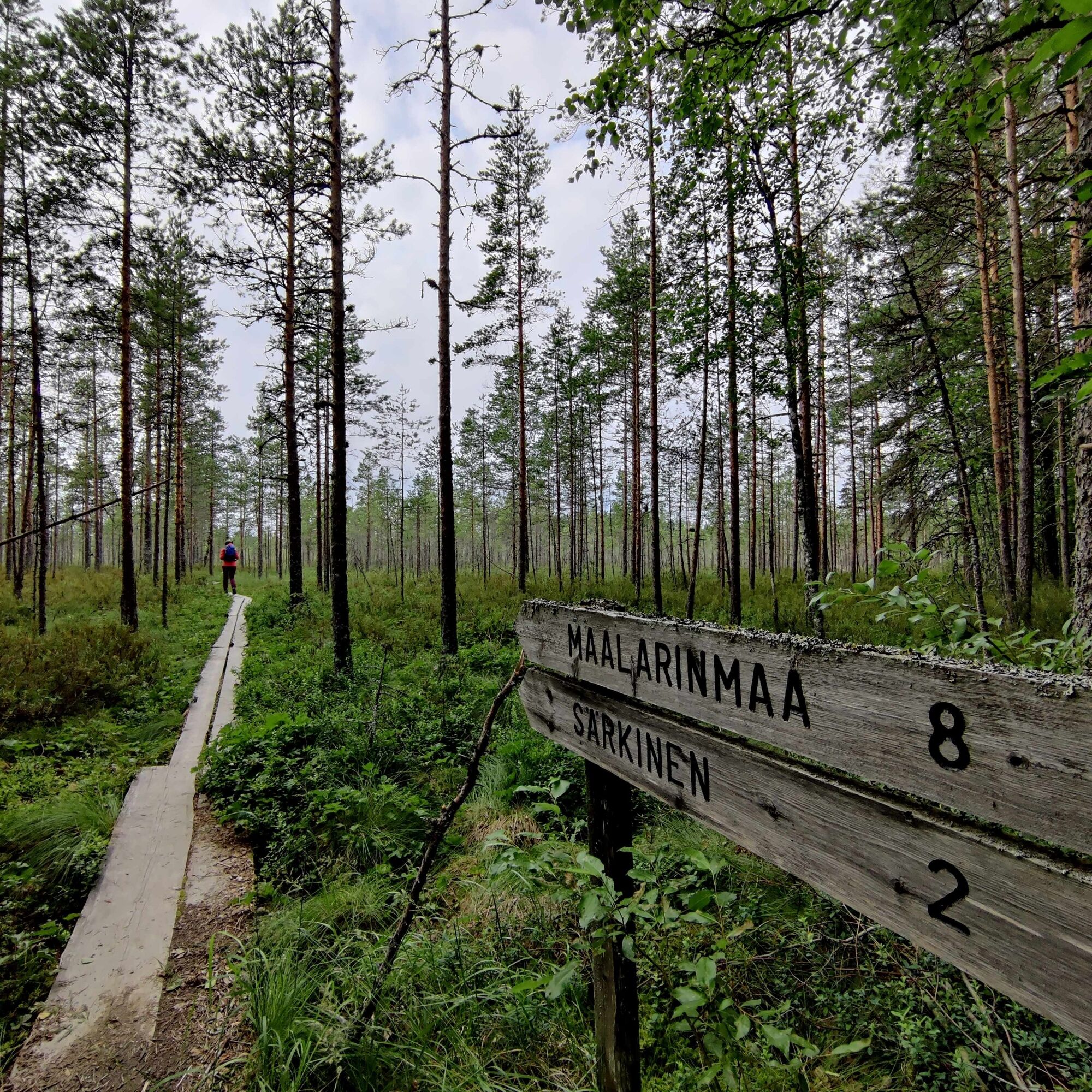
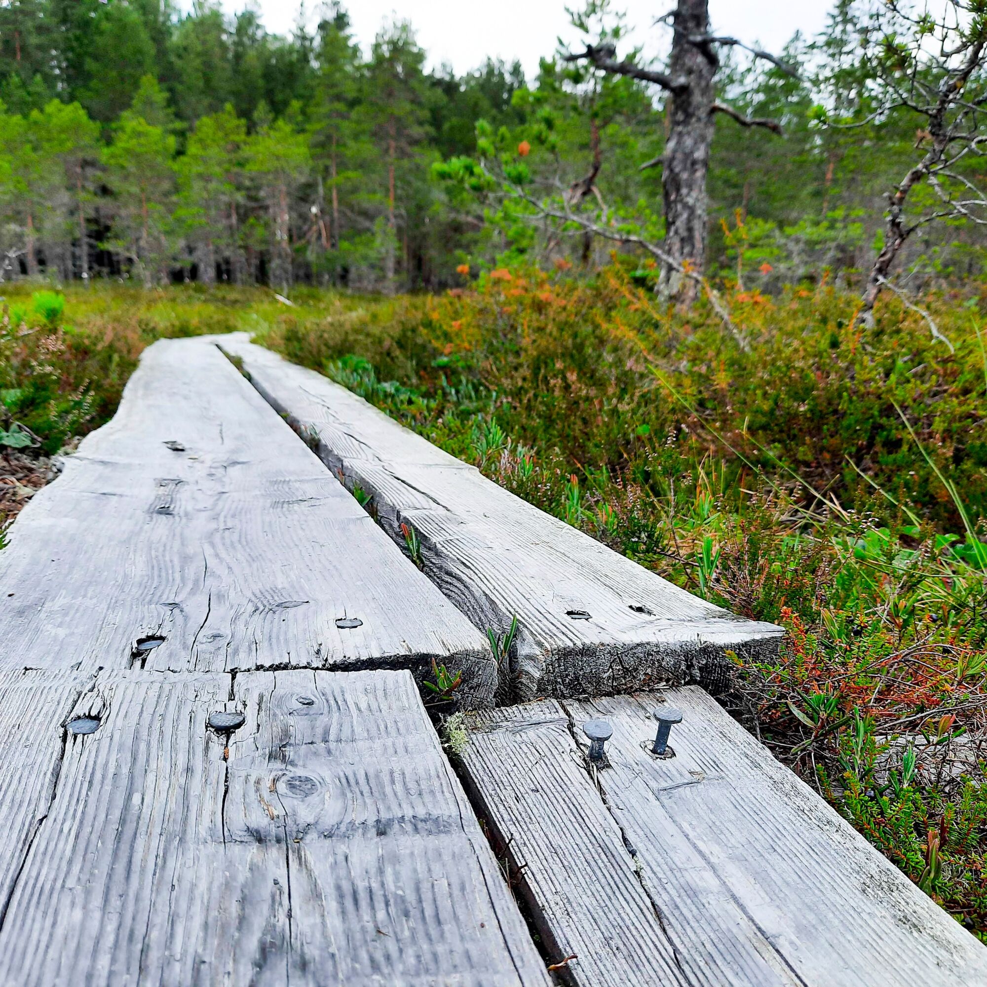
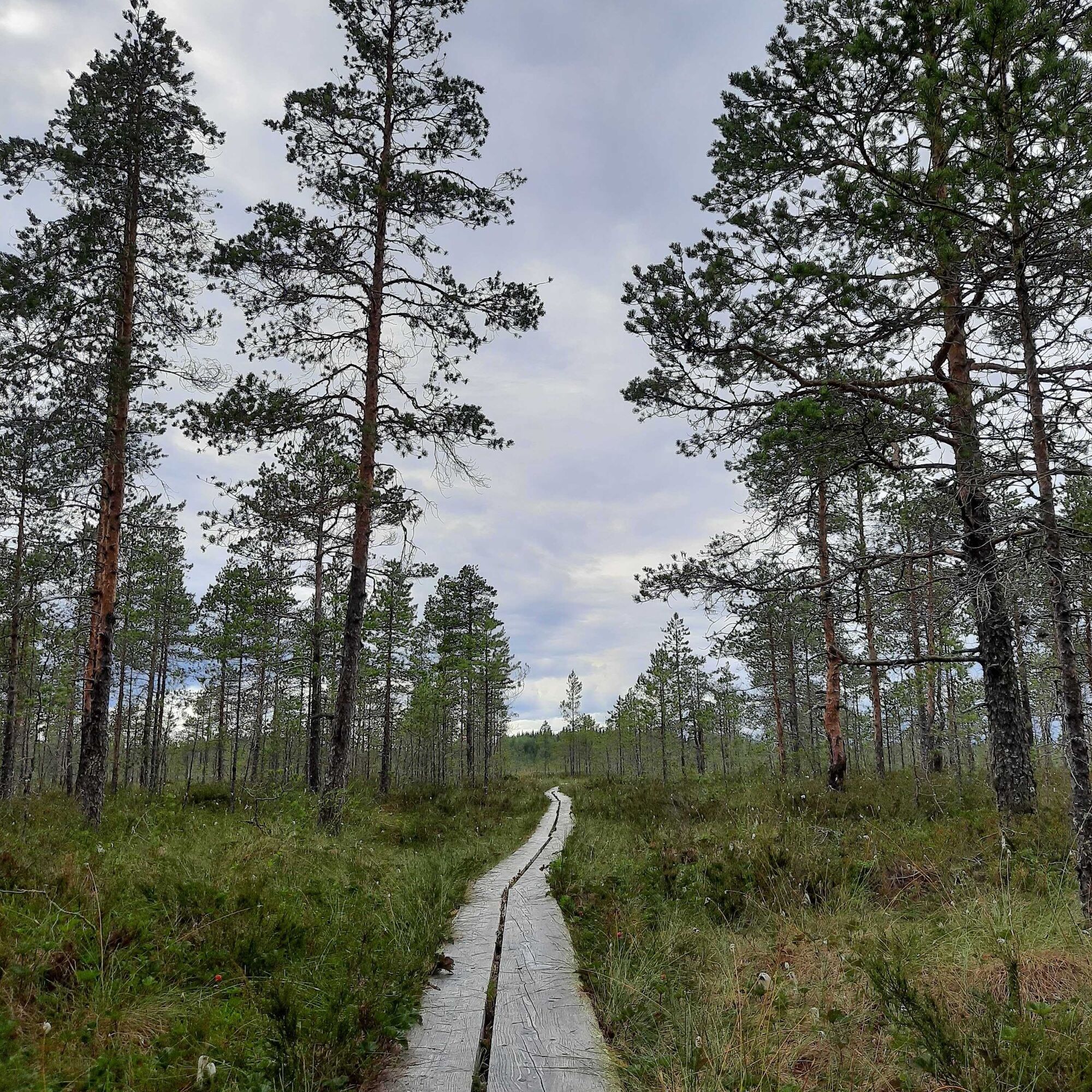
The route links to Levaneva Nature Reserve, where it mostly runs on duckboards. Thanks to its varied and rich flora, this pristine bog offers memorable experiences for hikers. Part of the Natura 2000 network, the nature reserve is the largest protected bog area in Ostrobothnia and South Ostrobothnia. Consisting of different bog types, the area is home to a large number of plant species. Because of its large size and remote location, the bog has not been dried or cleared for farming, and it remains in its natural condition.
In Maalarinmaa in Levaneva, you will find a viewing tower, a hut and a dry closet, and at the end of a short path, in the Särkinen yard area, you will find a wilderness cabin, tent pitches, a dry closet and an open fire site. At the northern end of the route, you will find the Rajavuori hiking centre, which is maintained by the municipality of Laihia (laihia.fi). The services offered by the centre include a dry closet in the yard area and two lean-tos and a viewing tower along a nature trail, which begins from the yard. A car park, along with a dry closet, a barbecue shelter and Pässilänmaja hut are located at the southern end of the route.


Popularne wycieczki w okolicy
-
Drafted on 2023-03-21
ciężkiDroga rowerowa 15,9 km -
Drafted on 2023-03-23
światłoDroga rowerowa 36,0 km -
Niinistön suopolku
średniTrasa tematyczna 3,59 km -
Puu se on jurvalaasten muovaaluvahaa!
światłoWędrówka 3,65 km -
Drafted on April 06, 2023
ciężkiMountainbike 31,1 km -
Samuli Paulaharju Trail, Kurikka
średniWędrówka 11,4 km -
Drafted on 2023-03-21
światłoJazda na rowerze 5,15 km -
Sällinpolku (Jurva)
światłoWędrówka 4,20 km -
Kurikka
średniWędrówka 13,0 km -
Teuva - Norinkylä - Norinpää - Jurva
światłoDroga rowerowa 36,7 km
Wędrówki i tropienie


Nie przegap ofert i inspiracji na następne wakacje
Twój adres e-mail została dodana do listy mailingowej.


