




St Olav Ostrobothnia (S) 2/10, Henriksdal-Kristinestad

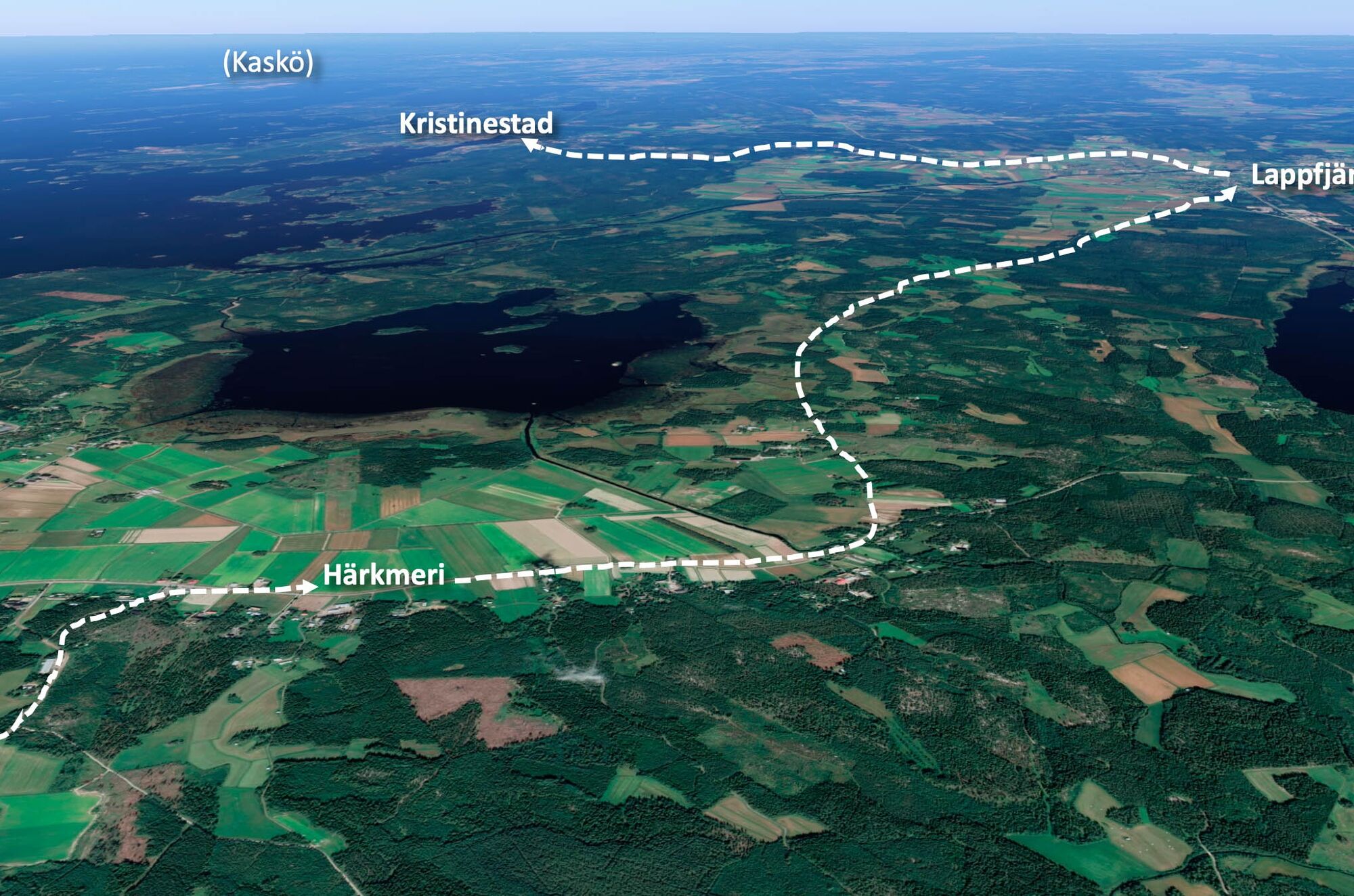
A long day stage (approx. 28 km), which can be split by spending the night in Lappfjärd (approx. 18 km).
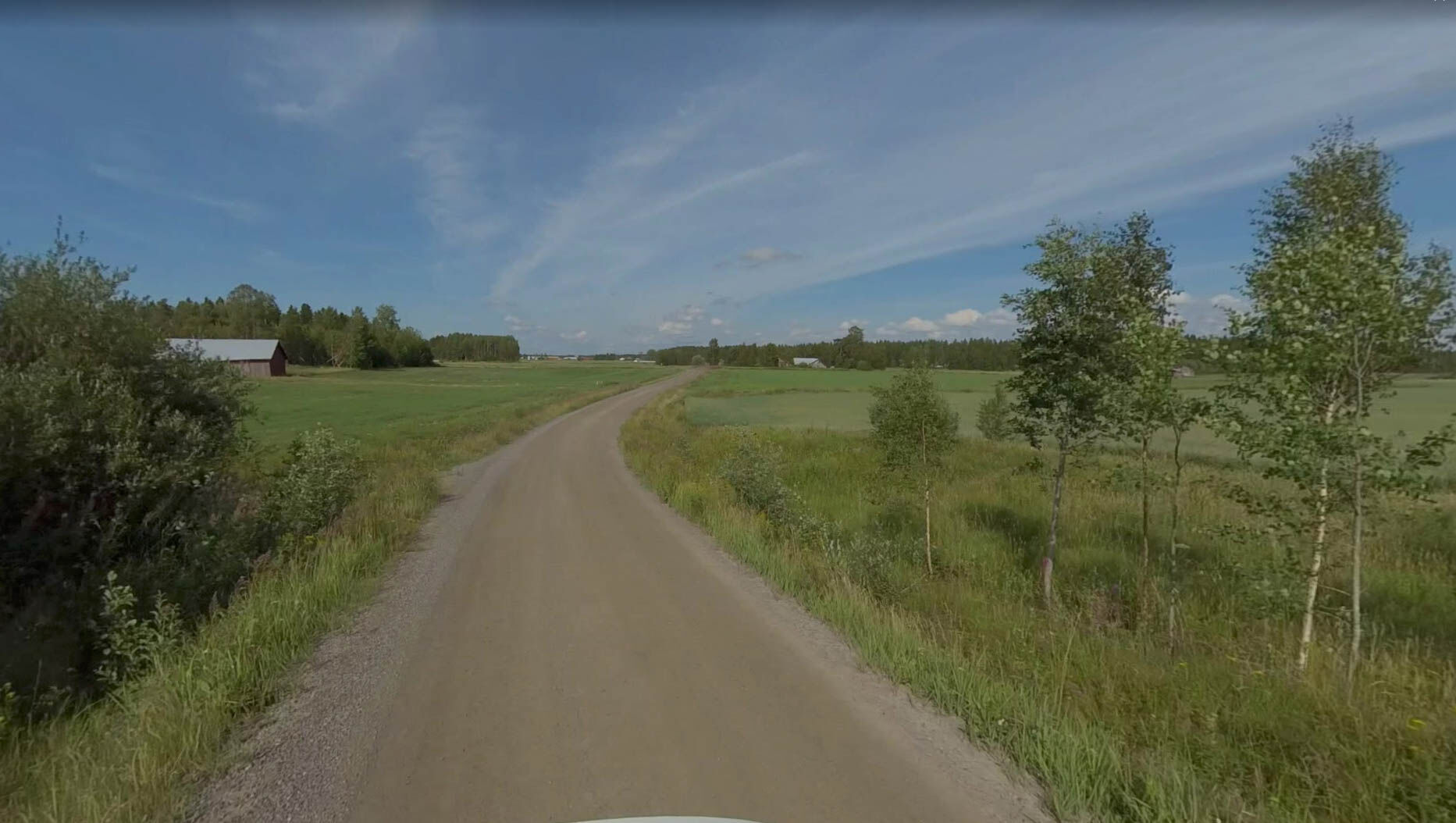
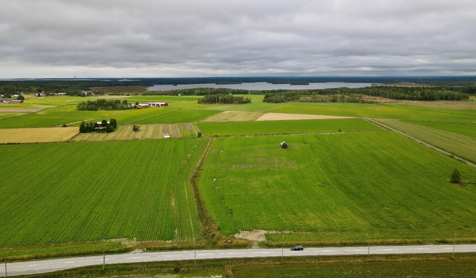
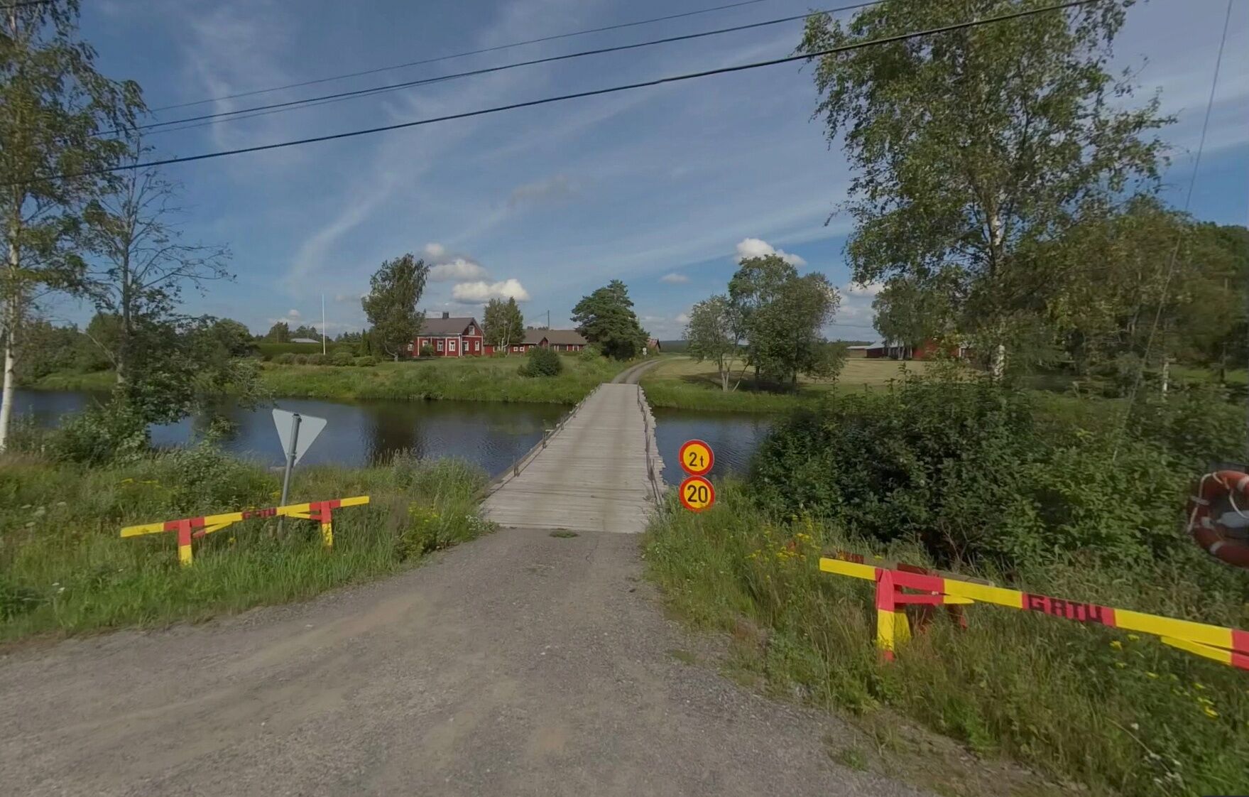
The first part of the stage follows a gravel road northwards to Härkmeri village. Here you pass...
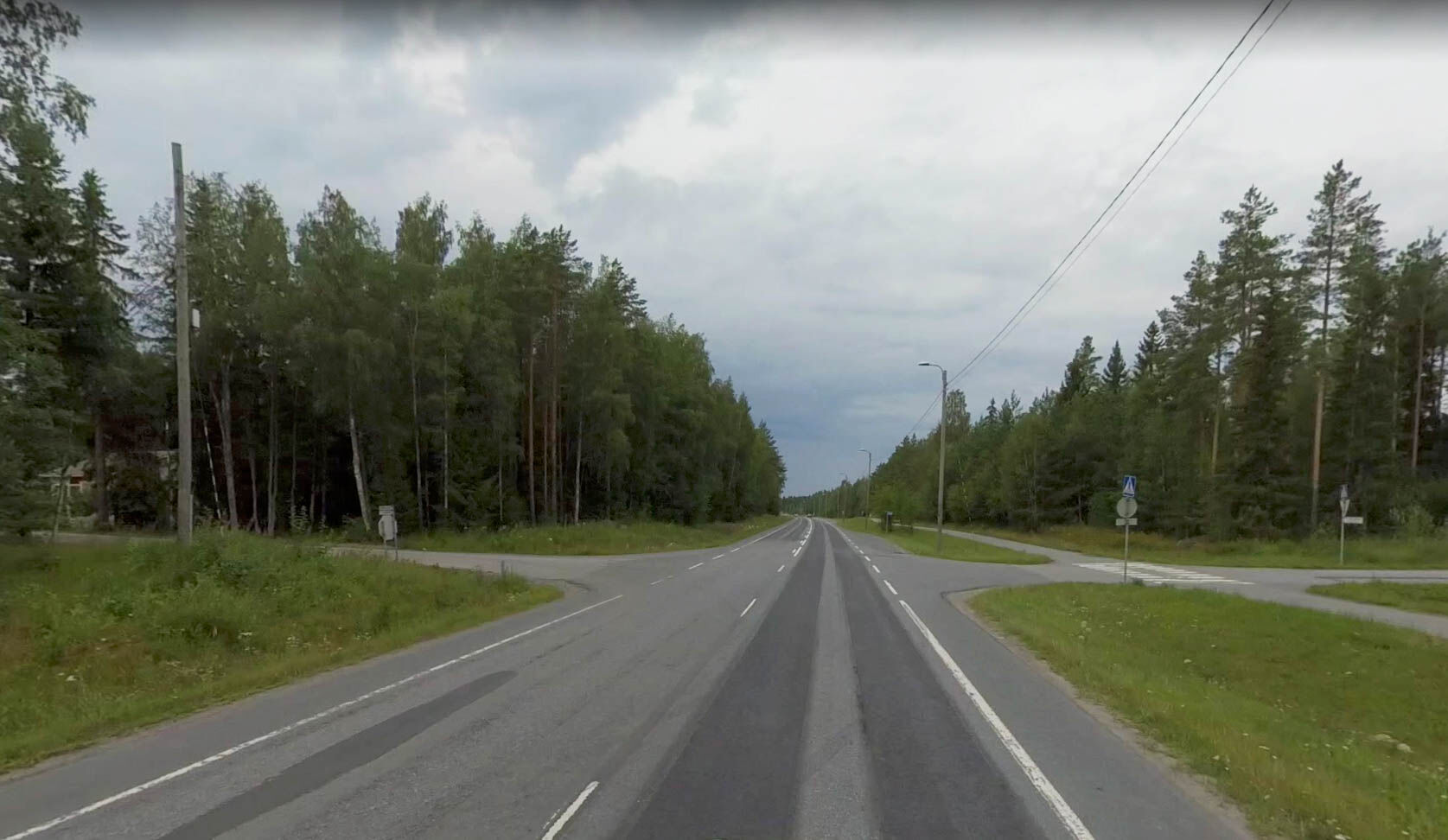
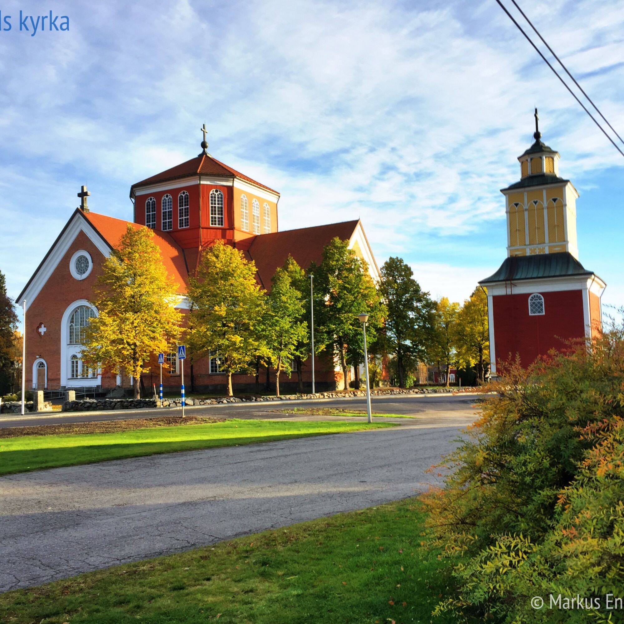
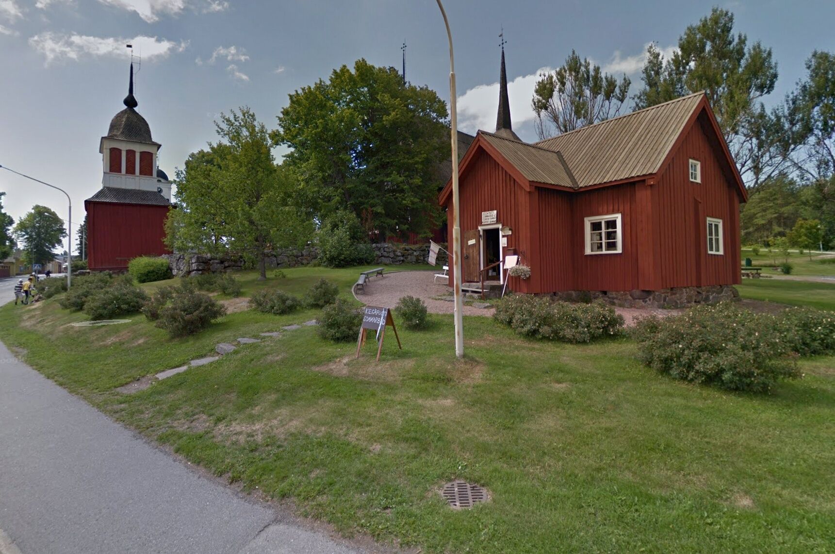
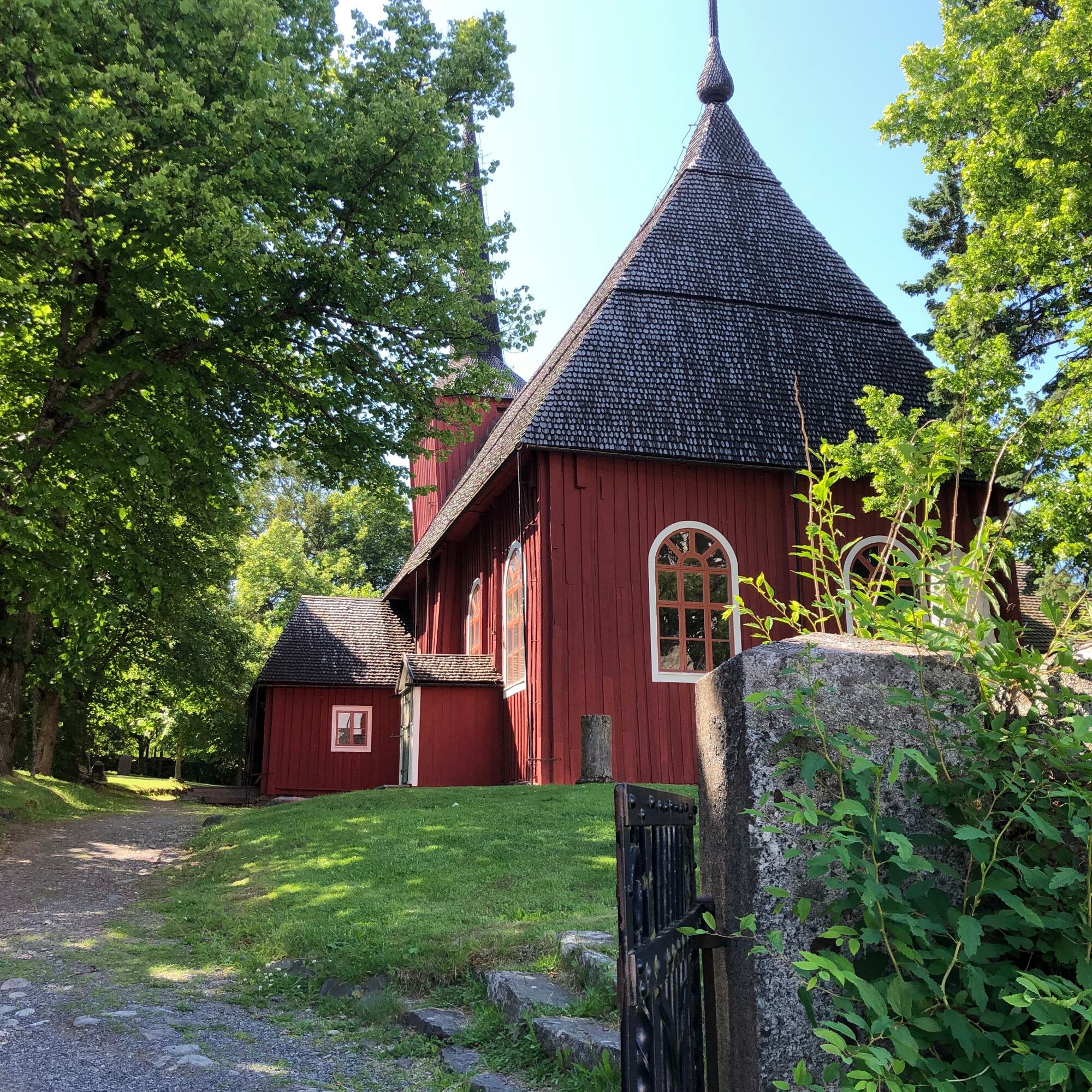
The first part of the stage follows a gravel road northwards to Härkmeri village. Here you pass old farms in a well preserved cultural landscape. After Härkmeri, you follow minor roads and forest roads on gravel, all the way to Highway E8. Lappfjärd Church is passed before the centre. Near the church, at Ulfvesvägen 38, you can find Restaurang Ström, serving both lunch and dinner. During autumn 2026, accommodation will also become possible at Ström, in ten new tiny cottages. On the north side of the small Lappfjärd river is also BB Lapväärtti. In Lappfjärd there are several grocery stores and eateries etc.
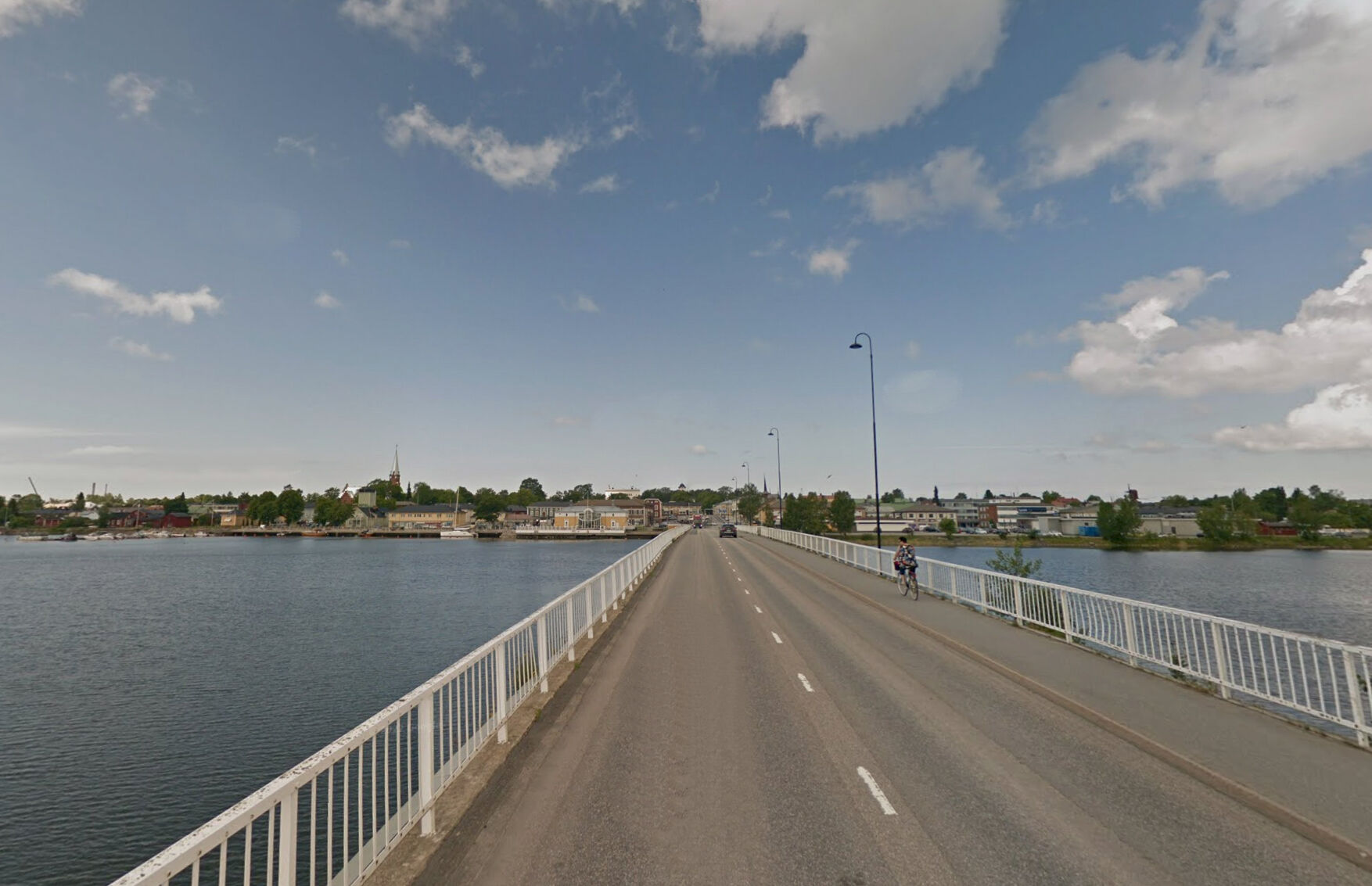
After Lappfjärd, the trail turns west in the direction of Kristinestad. You will mainly follow a paved cycle path, all the way into city center. Kristinestad has several grocery stores, eateries and cafés.
INFO KRISTINESTAD
Restaurang Ström
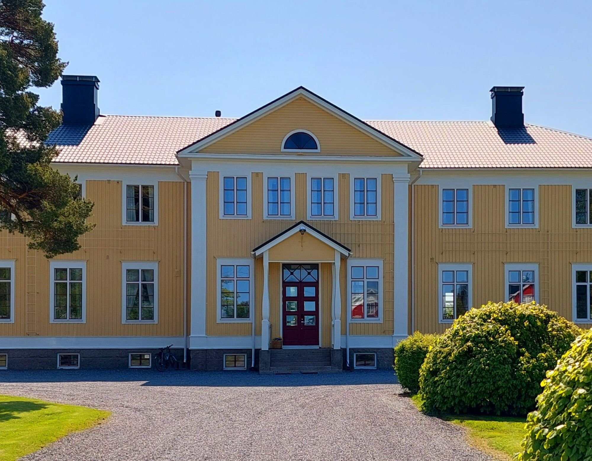
Eleonora Bed and Breakfast
Vinkel Guesthouse
Hotel Alma


Popularne wycieczki w okolicy
-
Cittago
średniJazda na rowerze 13,9 km -
Murgrund and Österskäret
Kajak / Canoe 16,4 km -
Skaftung's archipelago's northwestern areas
Kajak / Canoe 10,4 km -
Skatan Tour
Kajak / Canoe 13,6 km -
Cittaslow route
średniJazda na rowerze 21,0 km -
Memories from Skaftung's golden age
Kajak / Canoe 16,8 km -
Blue Trail
Wędrówka 3,65 km -
Tegelbruksbacken-Norrfjärden Nature Trail
światłoWędrówka 8,85 km -
Karhuneva Trail
Wędrówka 5,14 km -
Vilgrund and Haahkaluoto
Kajak / Canoe 12,6 km
Wędrówki i tropienie


Nie przegap ofert i inspiracji na następne wakacje
Twój adres e-mail została dodana do listy mailingowej.





