





Memories from Skaftung's golden age
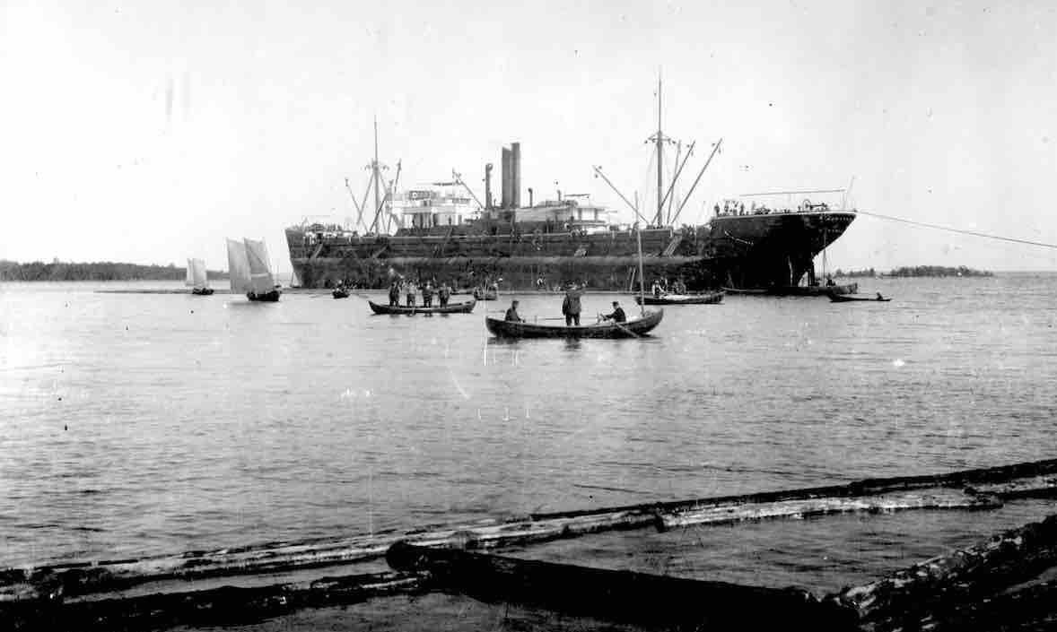
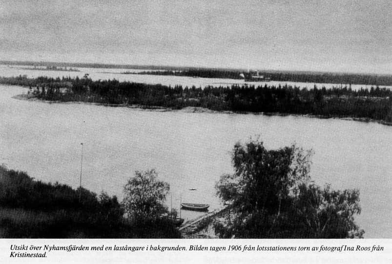
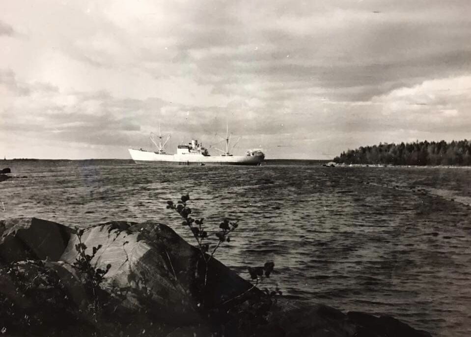
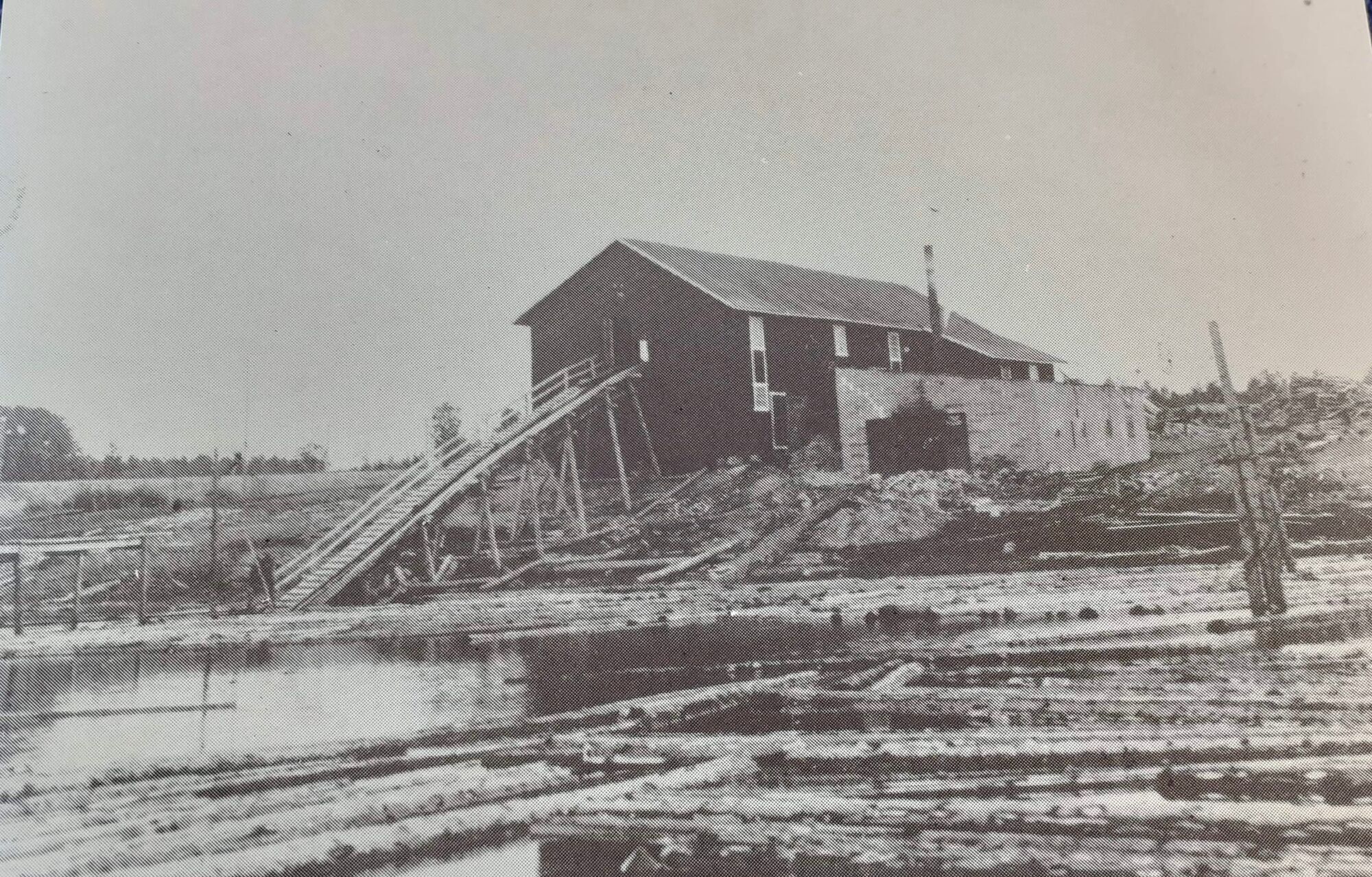
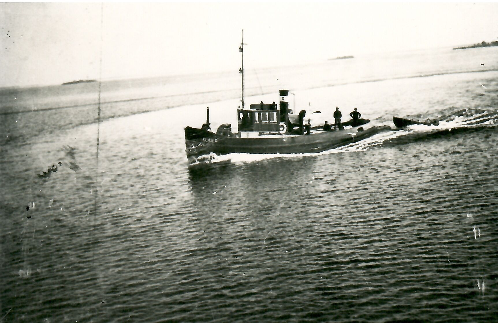
In Skaftung's golden age, lots of timber was exported from the village. Skaftung had two ports, Nyhamn and a port at Boberg's sawmill. This route explores the eastern part of Skaftung's archipelago. The...
In Skaftung's golden age, lots of timber was exported from the village. Skaftung had two ports, Nyhamn and a port at Boberg's sawmill. This route explores the eastern part of Skaftung's archipelago. The route has a lot to offer when it comes to local history. There is also a starting place in Djupviken and a route to the base (Högklubben) from the mainland.

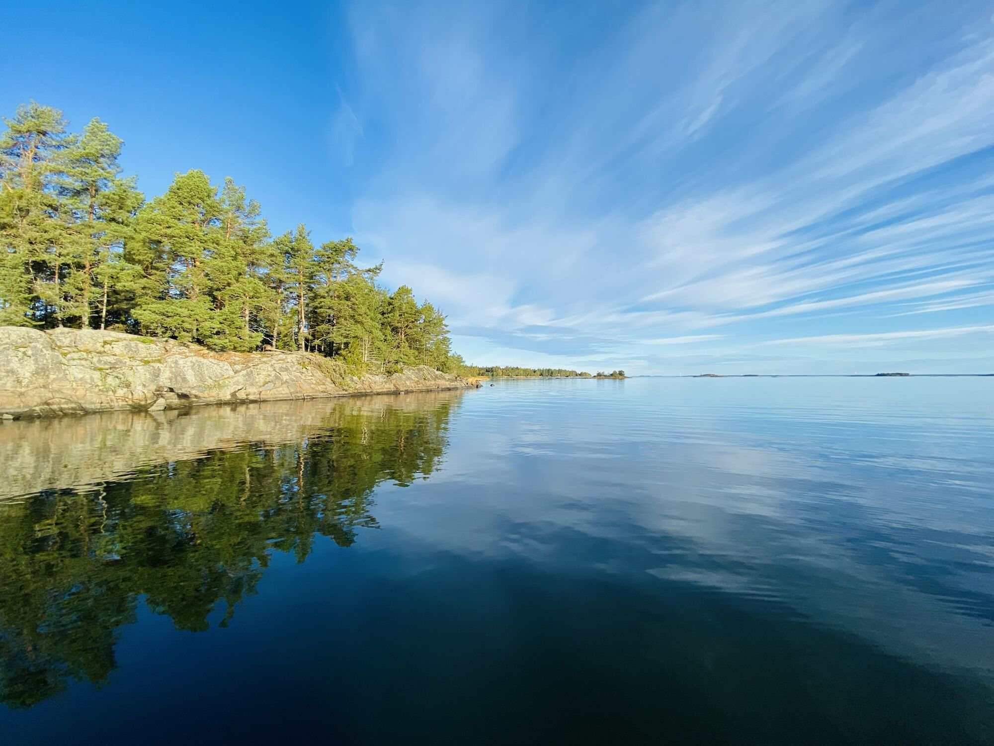
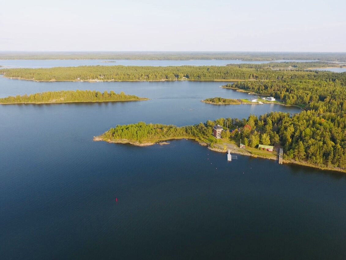
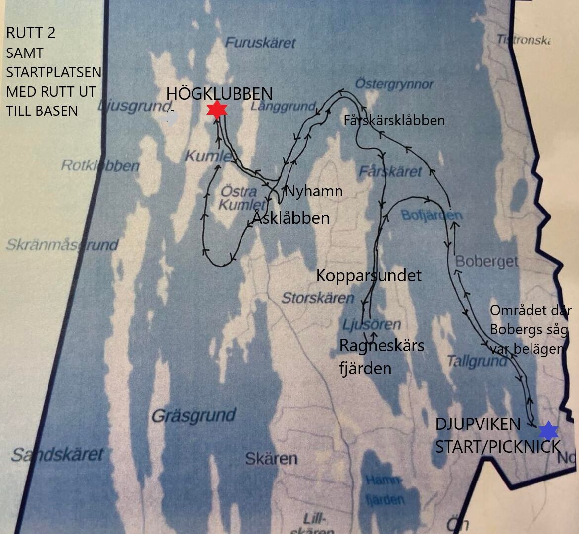
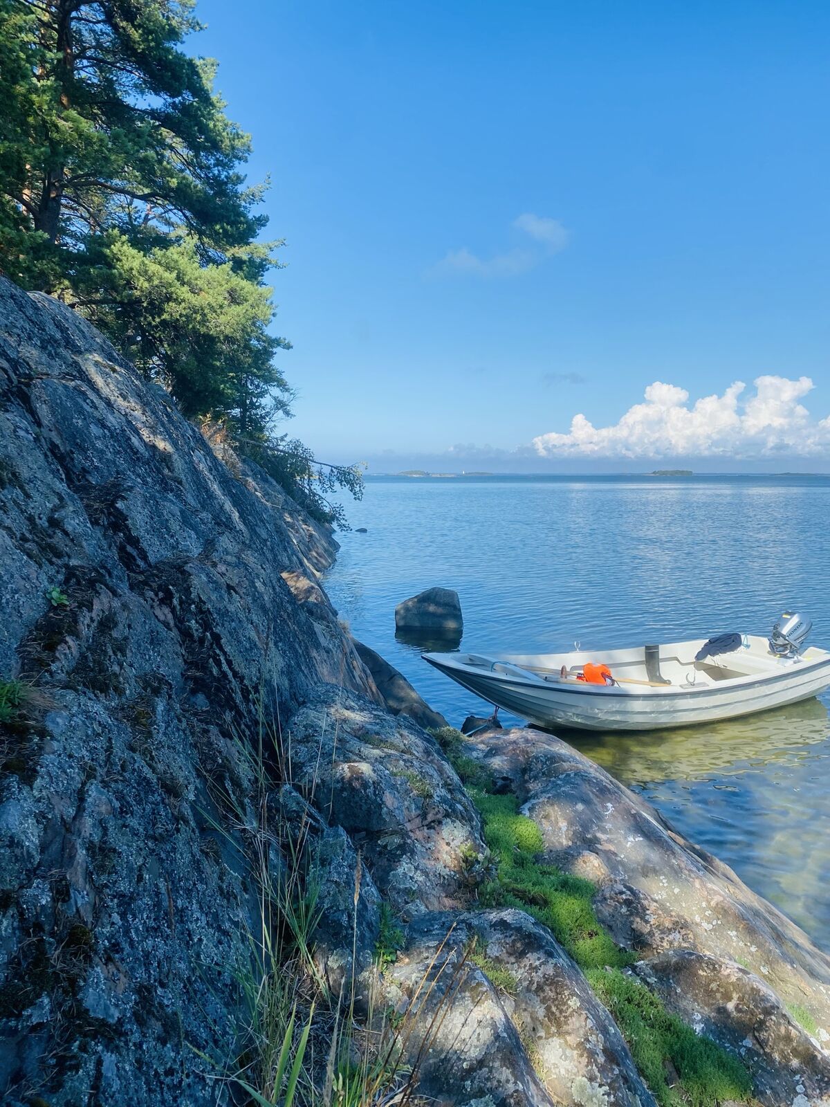
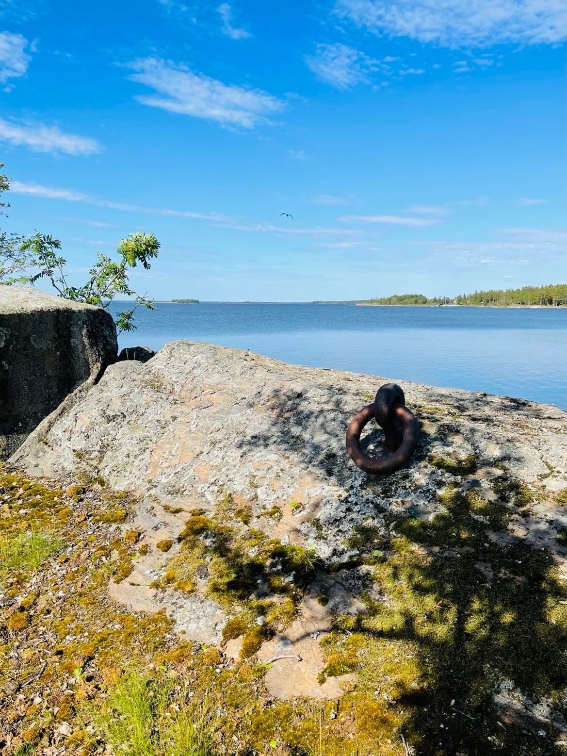
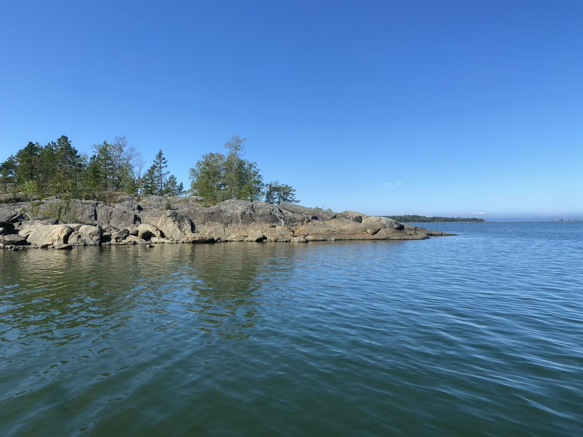
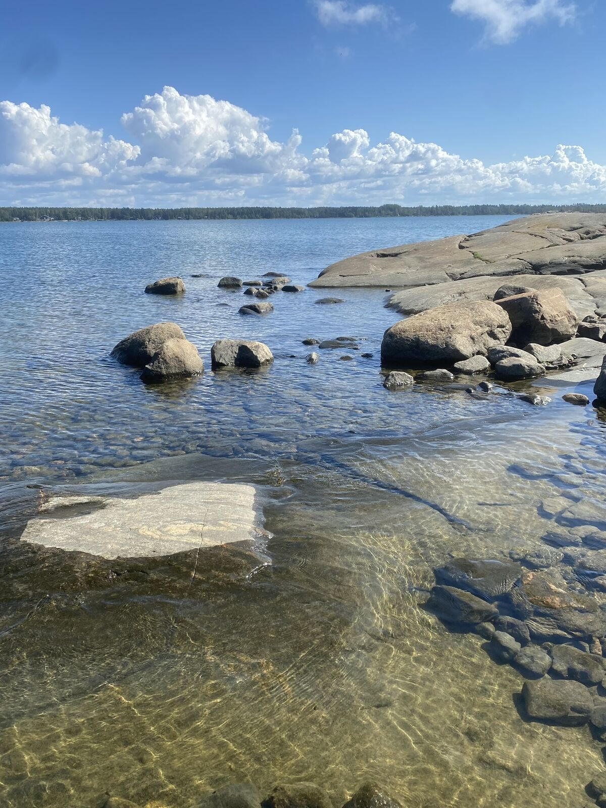
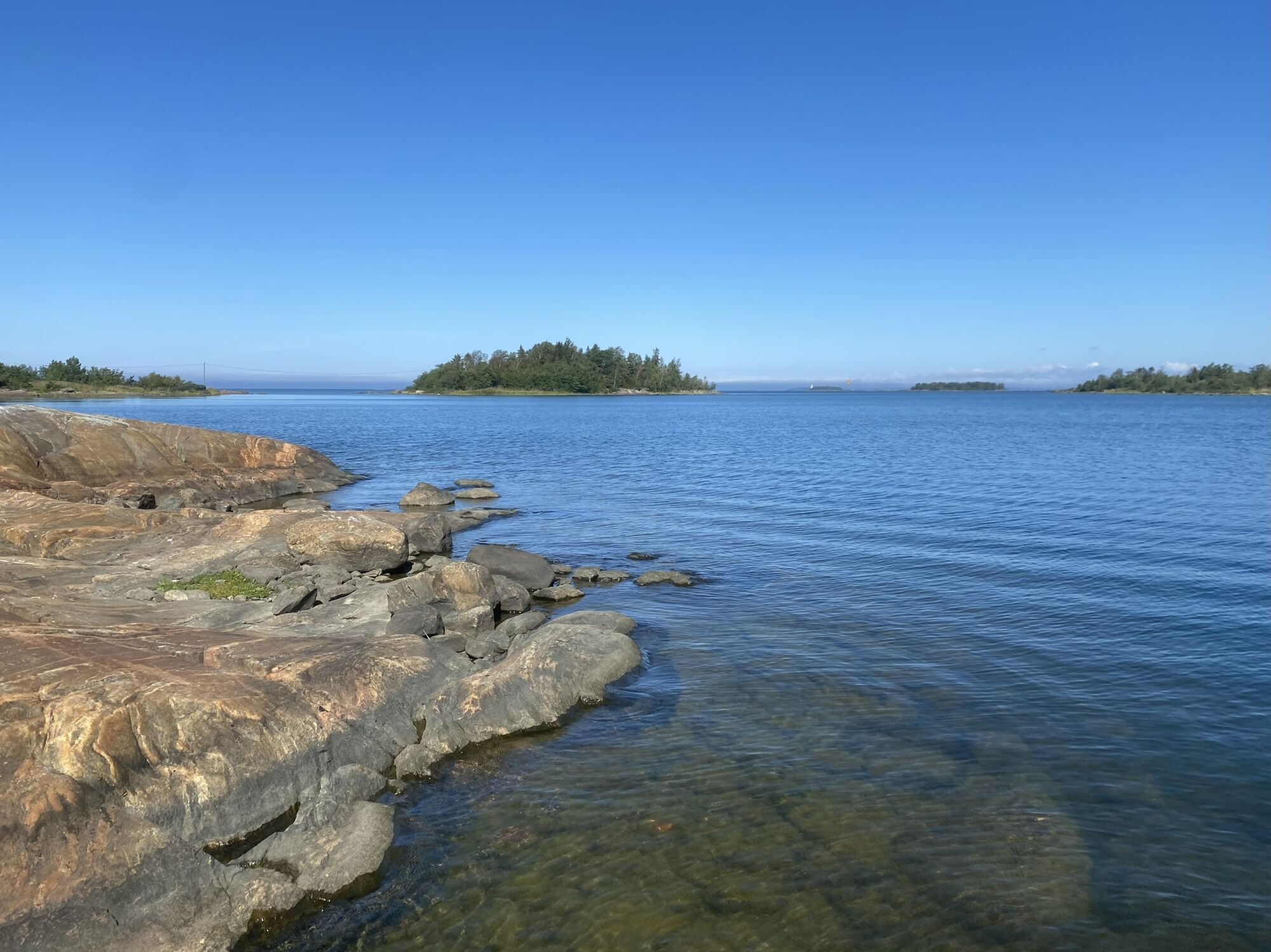
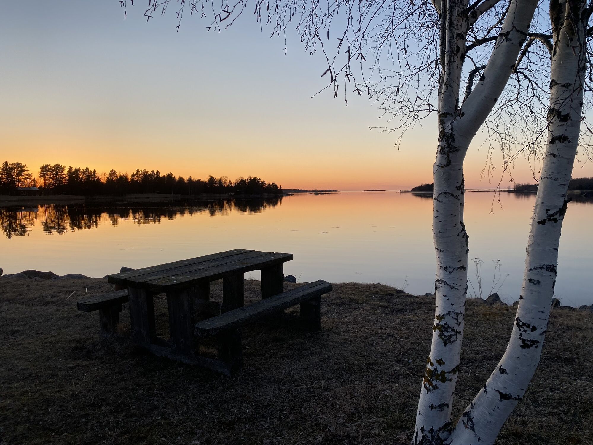
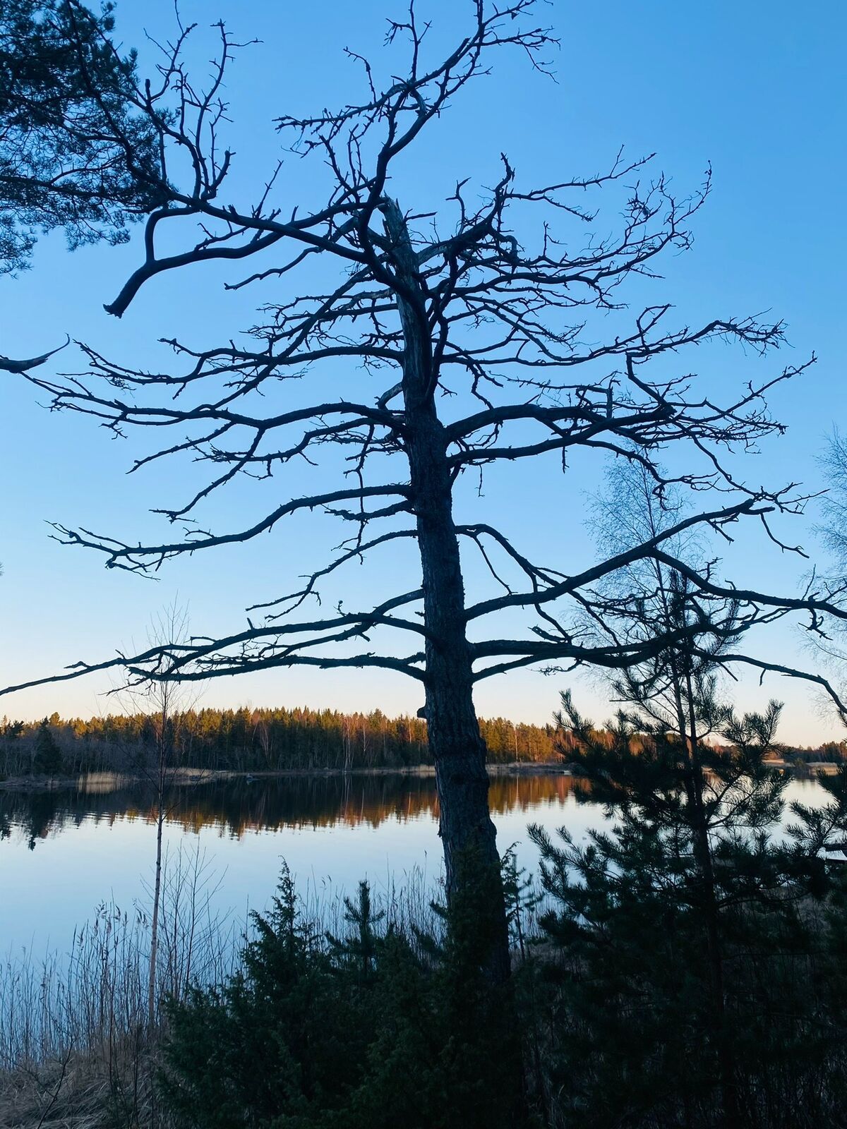

The route starts from the former Pilot station on Högklubben. Head towards east through the strait between Östra Kumlet and Långgrund. The strait is called Smalsundet. Then paddle to beautiful Åsklobben and Fårskärsskatan. Then head north towards Fårskärsklobben and Östergrynnor, which is on your left side. Here the route turns south to Bofjärden and keeps going south all the way to Djupviken. At the breakwater in Djupviken, there is a table where you can enjoy a snack. A snack with a beautiful sea view!
Heading back to Högklubben, paddle the same route along Bofjärden. On your way back, you can take a look at Kopparsund. To get there, turn south before Fårskäret. There is a strait between Fårskäret and Ljusören. By canoe (or a small boat) it should be possible to paddle all the way to Ragneskärs bay. When feeling ready to get back on track, paddle north and pass Fårskärsklåbben from the northern side. Now the route turns towards south. On the way you will see Kummelgrund restaurant. Then paddle around Östra Kumlet's cape from the southern side and to the strait between Östra Kumlet and Kumlet. Now you are back at the place where the adventure began!
To make the trip a little bit shorter, you can skip going to Kopparsund. Another way of saving time is to paddle through the strait between Östra Kumlet and Långgrund when returning, instead of going around the Östra Kumlet's cape.
You can also paddle the route starting from Djupviken if you arrive at Skaftung by land.
It is possible to stay overnight in a tent on the community area in Djupviken.
Kummelgrund restaurant is open for groups. For more information, check their website.
Popularne wycieczki w okolicy
-
St Olav Ostrobothnia (S) 2/10, Henriksdal-Kristinestad
ciężkiTrasa pielgrzymki 27,7 km -
Skaftungleden
Kajak / Canoe 19,7 km -
Skaftung's archipelago's northwestern areas
Kajak / Canoe 10,4 km -
Murgrund and Österskäret
Kajak / Canoe 16,4 km -
Skatan Tour
Kajak / Canoe 13,6 km -
Skaftung – To the sea!
Kajak / Canoe 17,2 km -
Blue Trail
Wędrówka 3,65 km -
Tegelbruksbacken-Norrfjärden Nature Trail
światłoWędrówka 8,85 km -
Cittaslow route
średniJazda na rowerze 21,0 km -
St Olav Ostrobothnia (S) 1/10, Sideby-Henriksdal
średniTrasa pielgrzymki 17,1 km
Wędrówki i tropienie


Nie przegap ofert i inspiracji na następne wakacje
Twój adres e-mail została dodana do listy mailingowej.





