






MERLEAUX SPRING TRAIL

This route invites you to explore the wild and man-made landscapes of the Minervois.
Starting from the village of Félines-Minervois, you’ll gradually climb along trails and through vineyards toward the...
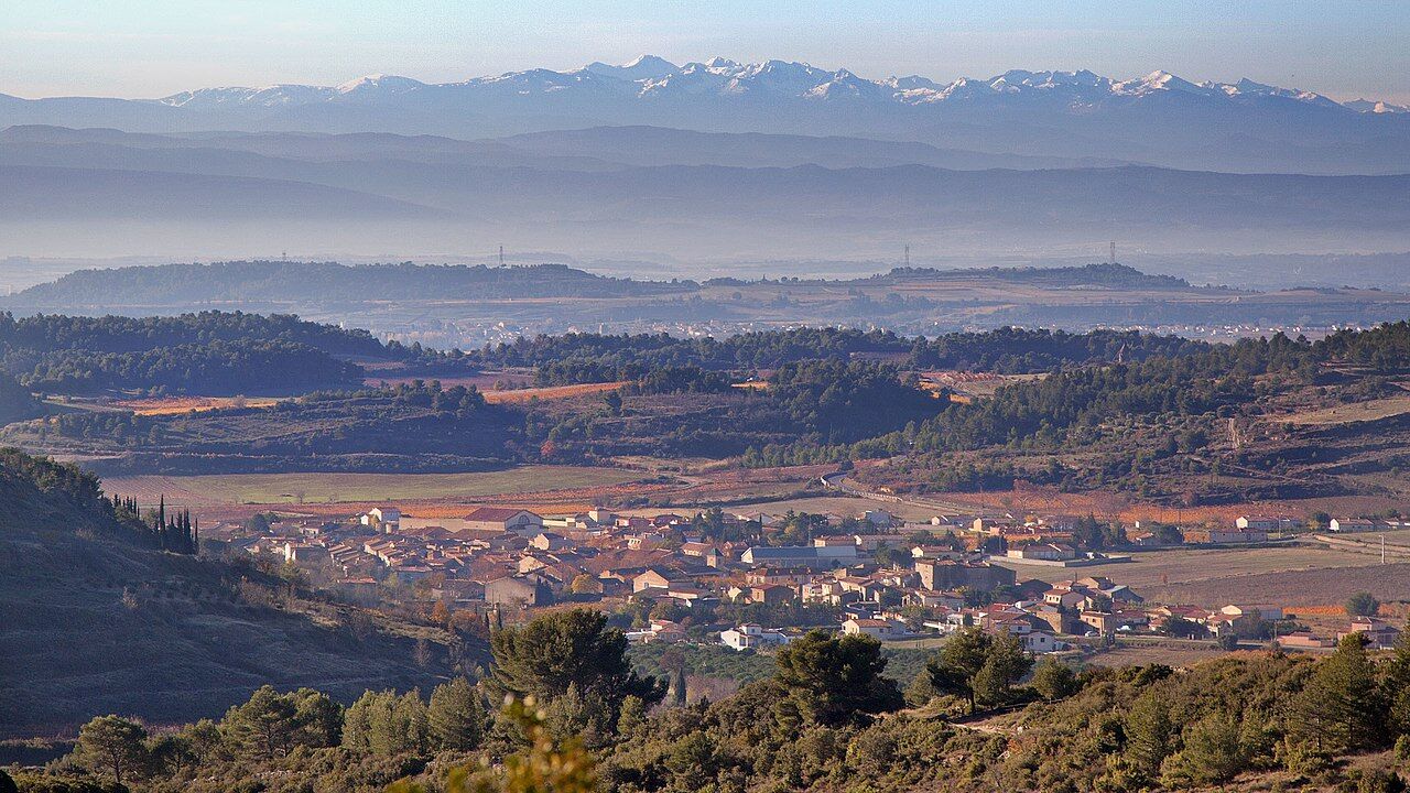
Starting from the village of Félines-Minervois, you’ll gradually climb along trails and through vineyards toward the heights of the mountain range. The trail offers impressive panoramic views of the surrounding nature, the rolling hills, and the local heritage. The highlight of the hike takes you into the heart of the valley to the Merleaux Spring, a fascinating natural resurgence where water gushes through the rock during the winter months. The loop continues along a varied route, taking in narrow paths, traditional dry-stone huts (capitelles), and a walk through the hamlet of Les Rivières, before winding its way back peacefully to the village center.
A beautiful immersion in nature, ideal for lovers of the great outdoors and Mediterranean heritage.
Trail marking: Green


1
Start in front of the grocery store (follow the signs). Cross the footbridge and head toward Place de la République (city hall). Turn left onto Route de Camplong and continue for about 1 km until you reach the bridge.
2
Before the bridge, turn left onto the paved path. Stay on the path for about 600 m until you reach the stone hut. At the stone hut, turn right and follow the trail. Walk uphill along Clos Yvette.
3
At the top of the trail, turn left.
4
At the vats, head toward Bel Soleil.
5
At the wine-staining post, where the donkey trail ends. At the intersection, take the trail straight ahead for about 800 m (downhill).
6
At Les Cuves, head toward Notre Dame du Cros. Stay on the main trail for about 1 km until you reach the Merleaux spring.
7
At the Merleaux Spring, to leave the main trail, continue for 100 m and take the trail on the left that goes downhill.
8
At the bottom of the trail, turn left and cross the stream (Merleaux) toward the hamlet of Les Rivières. Follow the paved road to the village
Be sure to bring plenty of water and appropriate hiking shoes.
There are fords across the Merleaux Stream (use caution during periods of heavy rain or in winter).
Open area: be sure to bring sunscreen during the summer months.
https://www.minervois-caroux.com/
Scenic Trails
Popularne wycieczki w okolicy
- 4,0
HIKING IN THE TOWN OF MINERVE
średniWędrówka 8,79 km Peyremaux rock
ciężkiWędrówka 13,3 kmCIT'ART HIKE OF THE HAUTS DE FERRALS
średniWędrówka 15,5 kmCYCLE LOOP NO.12 - THE ASSAULT ON THE HAUT-LANGUEDOC FROM MINERVE
światłoJazda na rowerze 37,3 kmCYCLING ROUTE NO.6 - THE VINEYARD OF MINERVOIS AND SAINT-CHINIAN
światłoJazda na rowerze 49,9 kmOENORANDO® DES MOURELS
światłoWędrówka 6,03 kmOENORANDO® LE CRU LA LIVINIERE
światłoWędrówka 11,5 kmHiking: Les clairières de Sales
światłoWędrówka 8,46 kmLE SENTIER DES MEULIERES
światłoWędrówka 0,93 kmFONT GALINE - CESSERAS HIKING
średniWędrówka 10,9 km
Wędrówki i tropienie


Nie przegap ofert i inspiracji na następne wakacje
Twój adres e-mail została dodana do listy mailingowej.





