


CYCLE LOOP NO.12 - THE ASSAULT ON THE HAUT-LANGUEDOC FROM MINERVE
Poziom trudności: 2
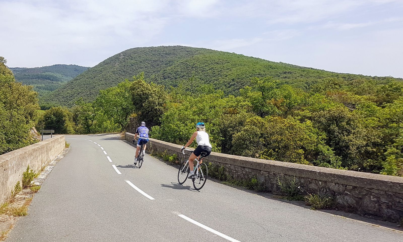
Starting from the medieval town of Minerve, this loop offers an initial part with a steady and quite steep climb through the scrubland, then a route winding between the reliefs of the Haut-Languedoc Regional...
Starting from the medieval town of Minerve, this loop offers an initial part with a steady and quite steep climb through the scrubland, then a route winding between the reliefs of the Haut-Languedoc Regional Natural Park. The second part of the route is less demanding, always with magnificent views over the Aude plain and then the Cesse gorges.
You will enjoy a great variety of landscapes, quiet beautiful roads, and hidden spots. In short, pure cycling bliss!


1
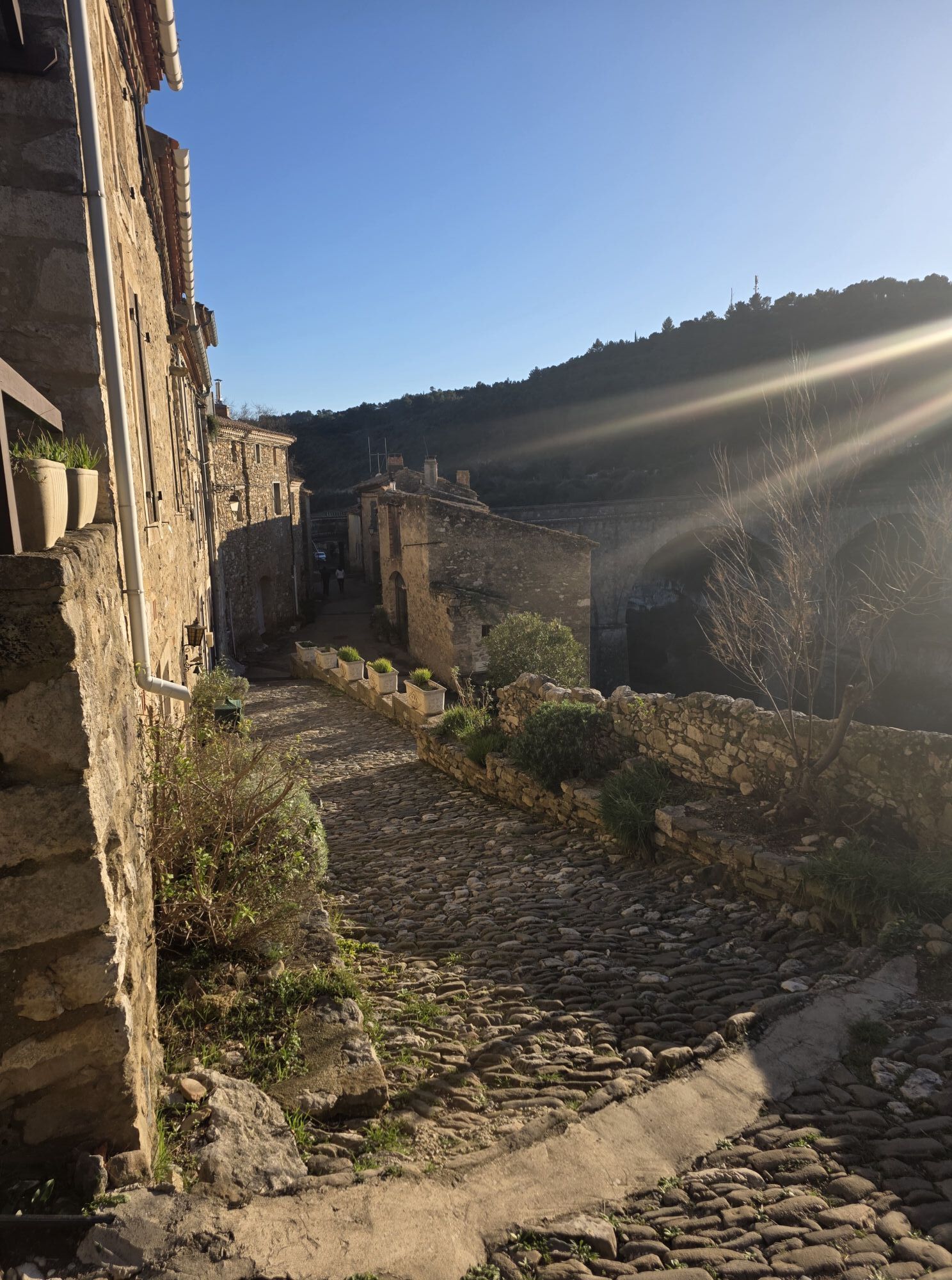
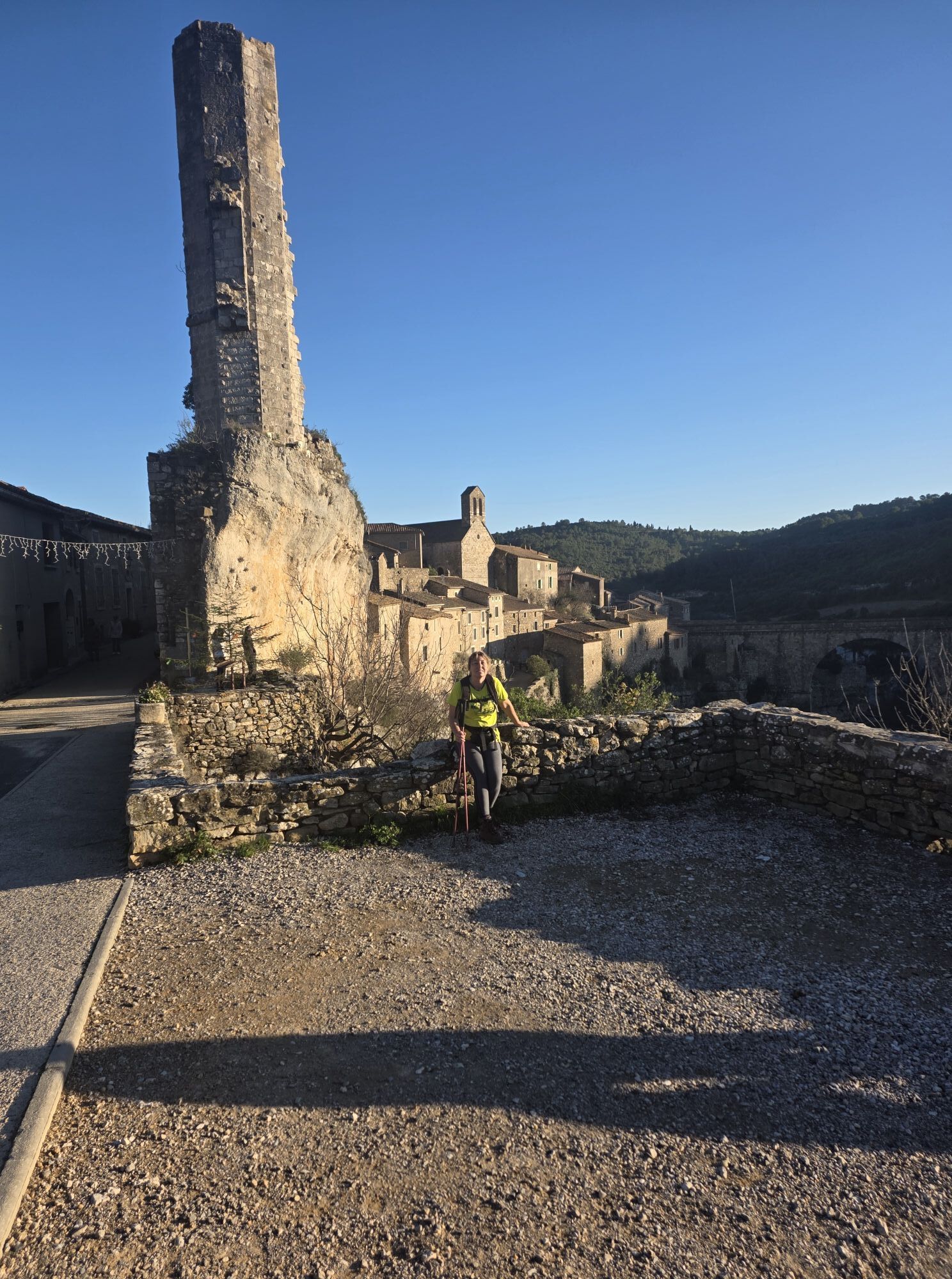
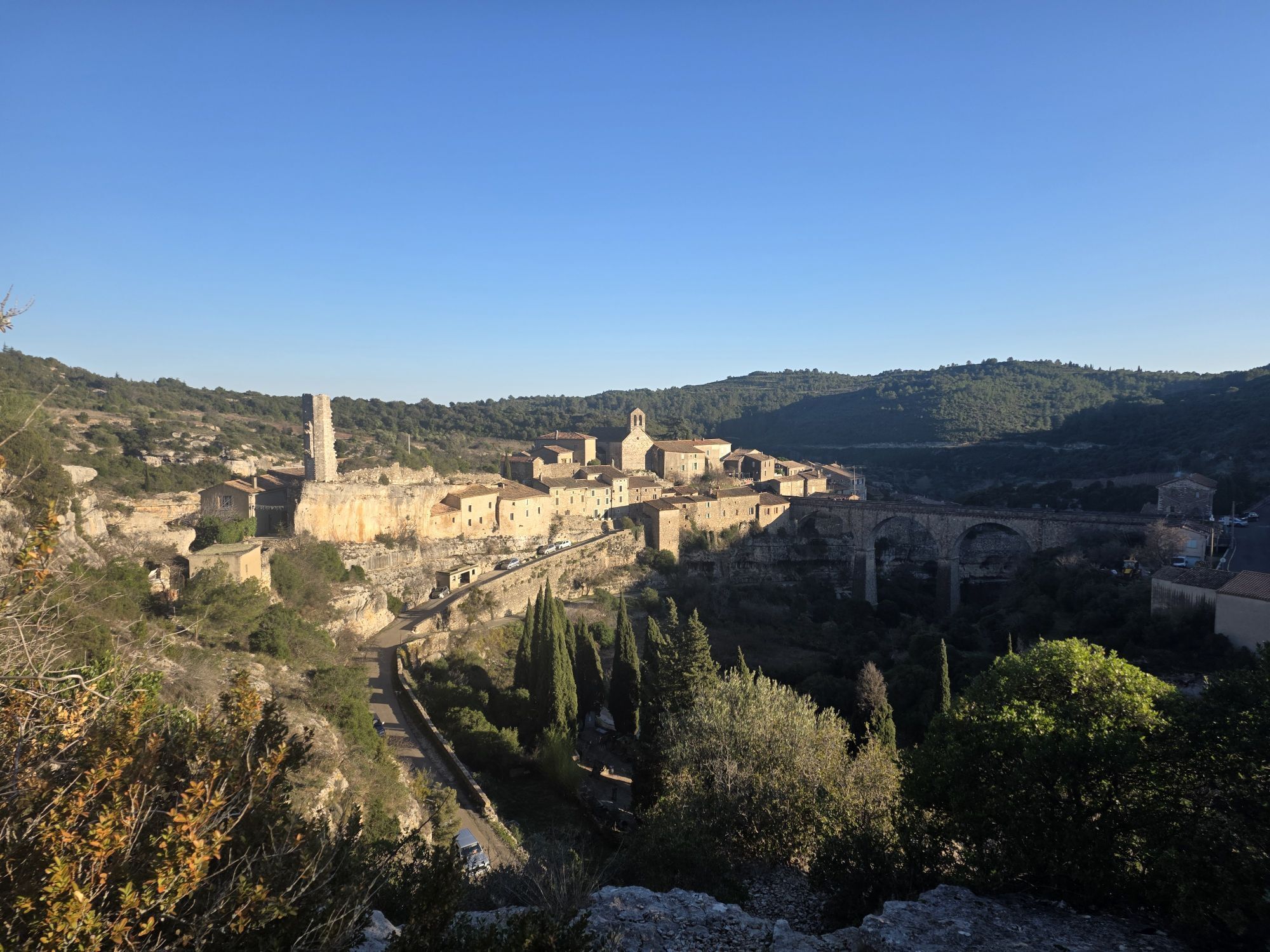
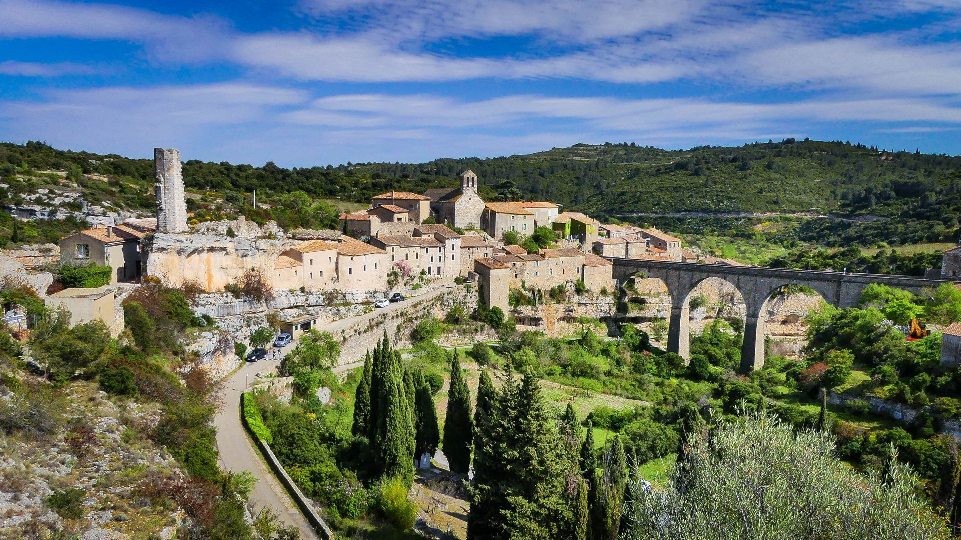
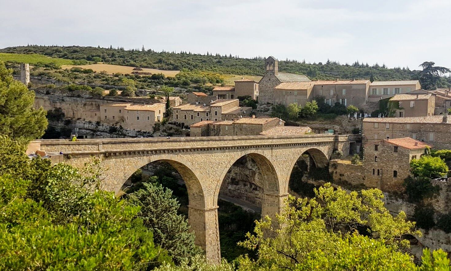
The loop starts at the North car park of Minerve (paid parking). You can also, if you wish, start about 4 km upstream on the D10E1 at the Cesse Gorges area (free parking), in which case you will begin by descending to Minerve. At the start or finish, visit this wonderful village, perched on its rocky promontory that dominates the Cesse and Brian gorges. Minerve still remembers the siege it endured during the Albigensian Crusade... The climb to the village leads to the Dove of Light by artist Jean-Luc Séverac, sculpted in memory of the 1210 bonfire, near the 11th-century Saint-Etienne Church. With its terraced gardens and cobbled streets, Minerve is one of the prestigious gateways to the Haut-Languedoc Regional Natural Park and is listed among the “Most Beautiful Villages of France”.
2
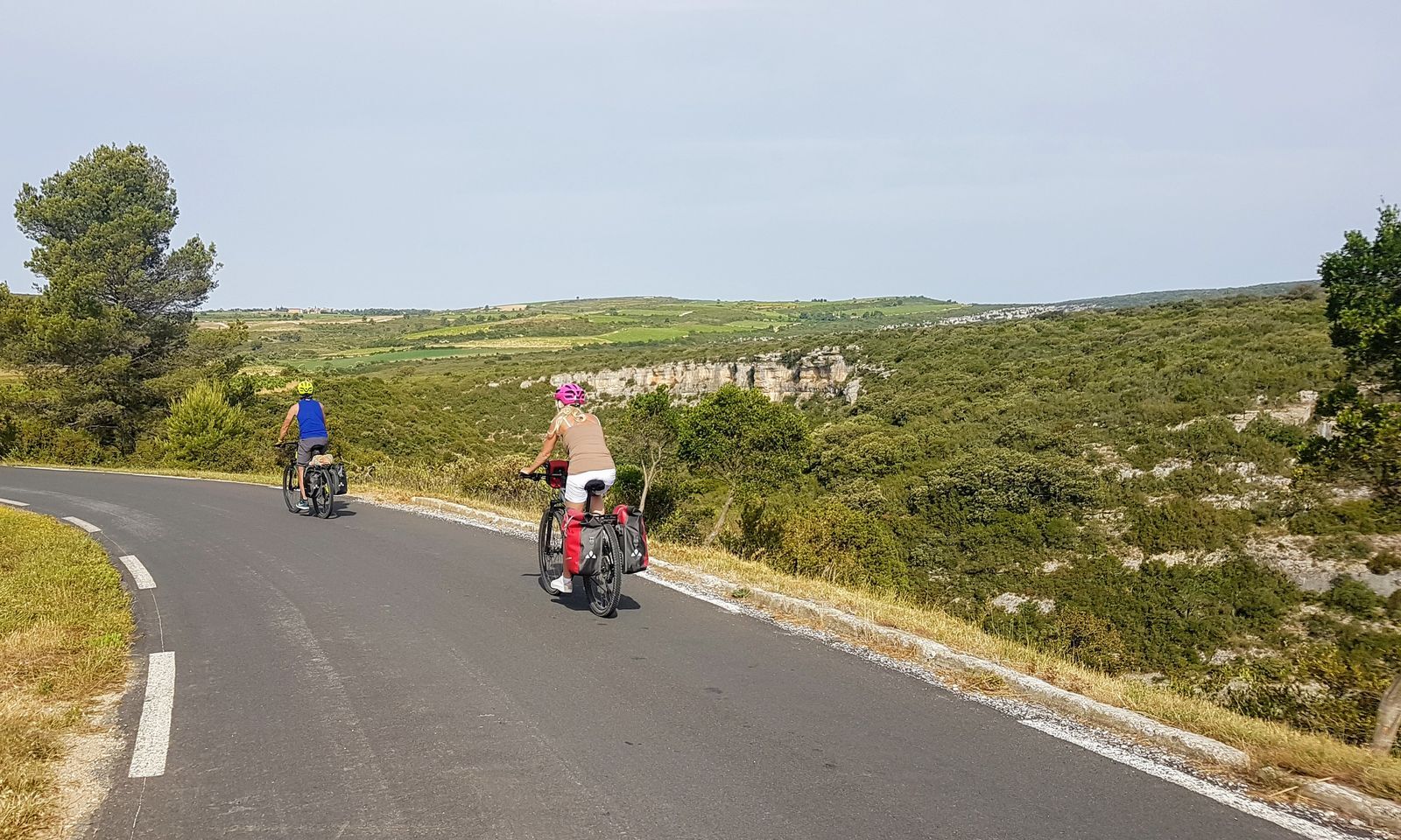
No time to warm up... Right from the start, you climb for about 6 km, accumulating an elevation gain of over 300 m. The ascent is quite steady, but some sections reach 10%. Beware in case of intense heat, the road is not shaded. Nevertheless, it remains superb, making its way through the scrubland, with an increasingly clear view of the plain behind you. After these first 6 km, some respite offers itself, and trees start to appear more along the roadside.
3
1 km later, you reach a junction and turn left onto the D147E1 to climb again. Admire here the view below of the winding road and the radical change in landscape, with the characteristic reliefs of the Haut Languedoc Regional Park. The atmosphere is mountainous amid forests of pine, oak, and chestnut trees. At the highest point, at 600 m altitude, you embark on a good descent to Faveyrolles.
4
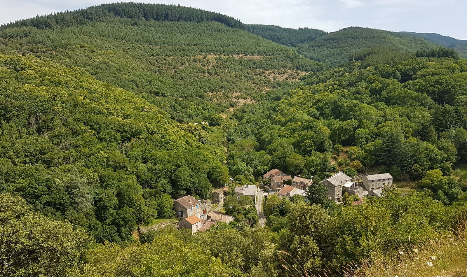
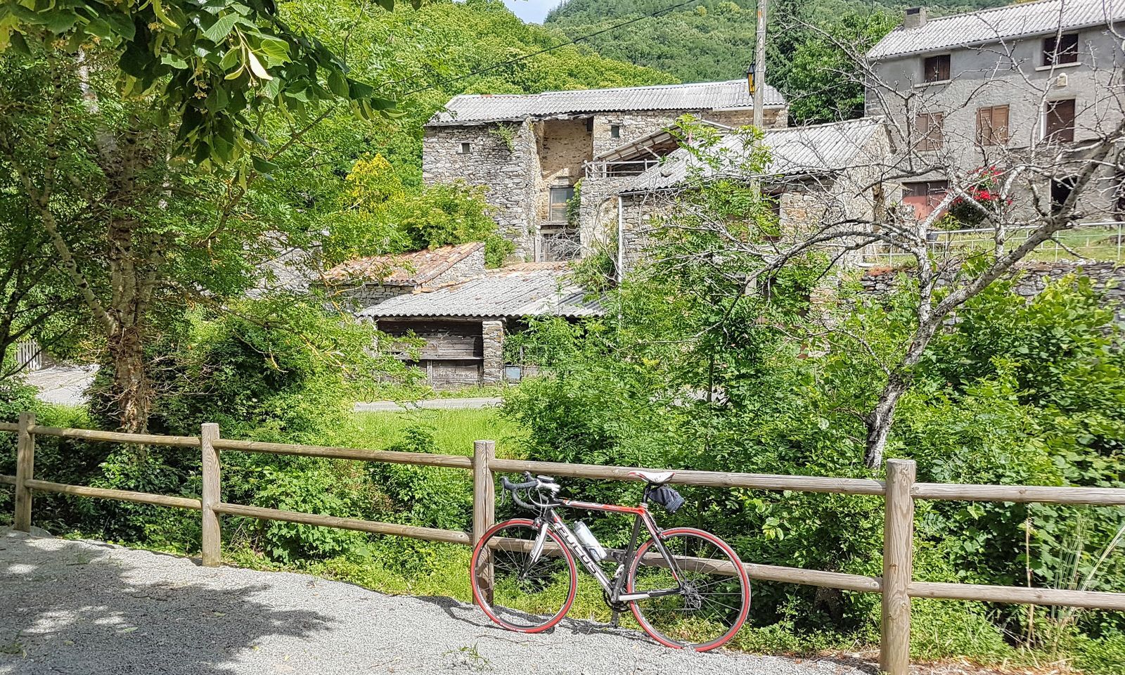
You cross the hamlet of Faveyrolles via a small road. 1 km later, you reach another isolated hamlet, Authèze. Before the houses, a path goes down to the left to the small Saint-Jean-Baptiste chapel. It’s really worth going down, on foot or by bike if you are on a hybrid, to admire the church in the middle of nature, isolated, and its adjoining cemetery. After the hamlet, you moderately climb for about 1.5 km then descend to Ferrals-les-Montagnes, which you can see below from the road.
5
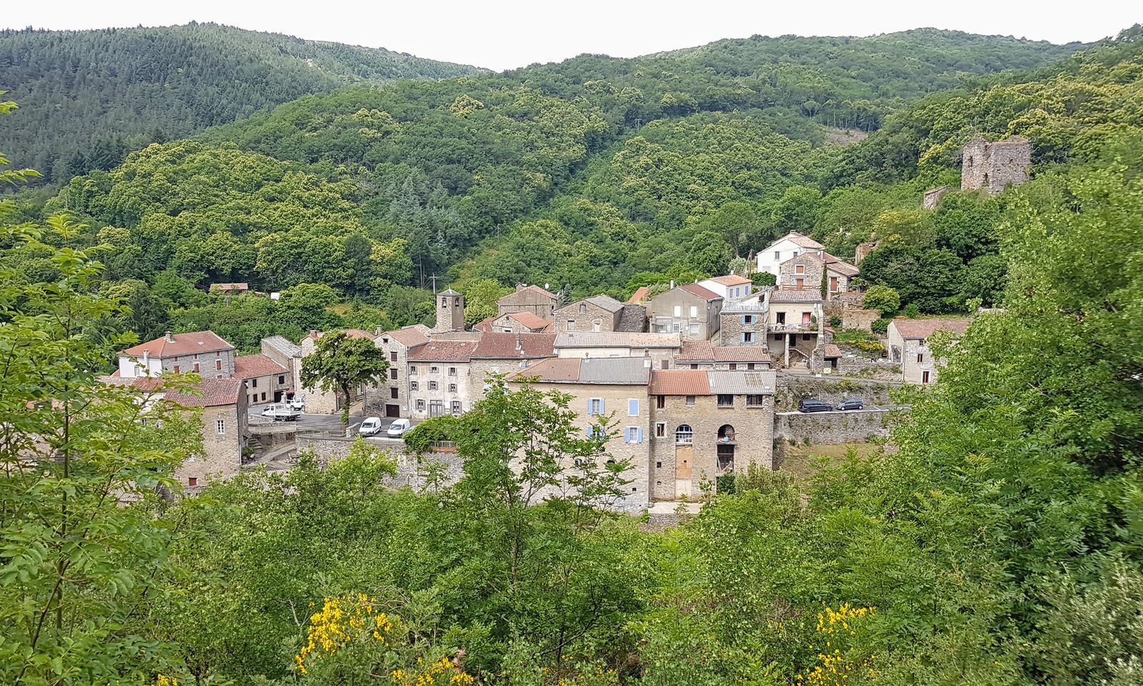
At the source of the Cesse, Ferrals-les-Montagnes is a green village among beech and chestnut trees. If you take the D12 north, the forest then climbs to the Serrières pass which marks the watershed between the Atlantic and Mediterranean: the landscape to discover from the Suzadou rock is incredible.
6
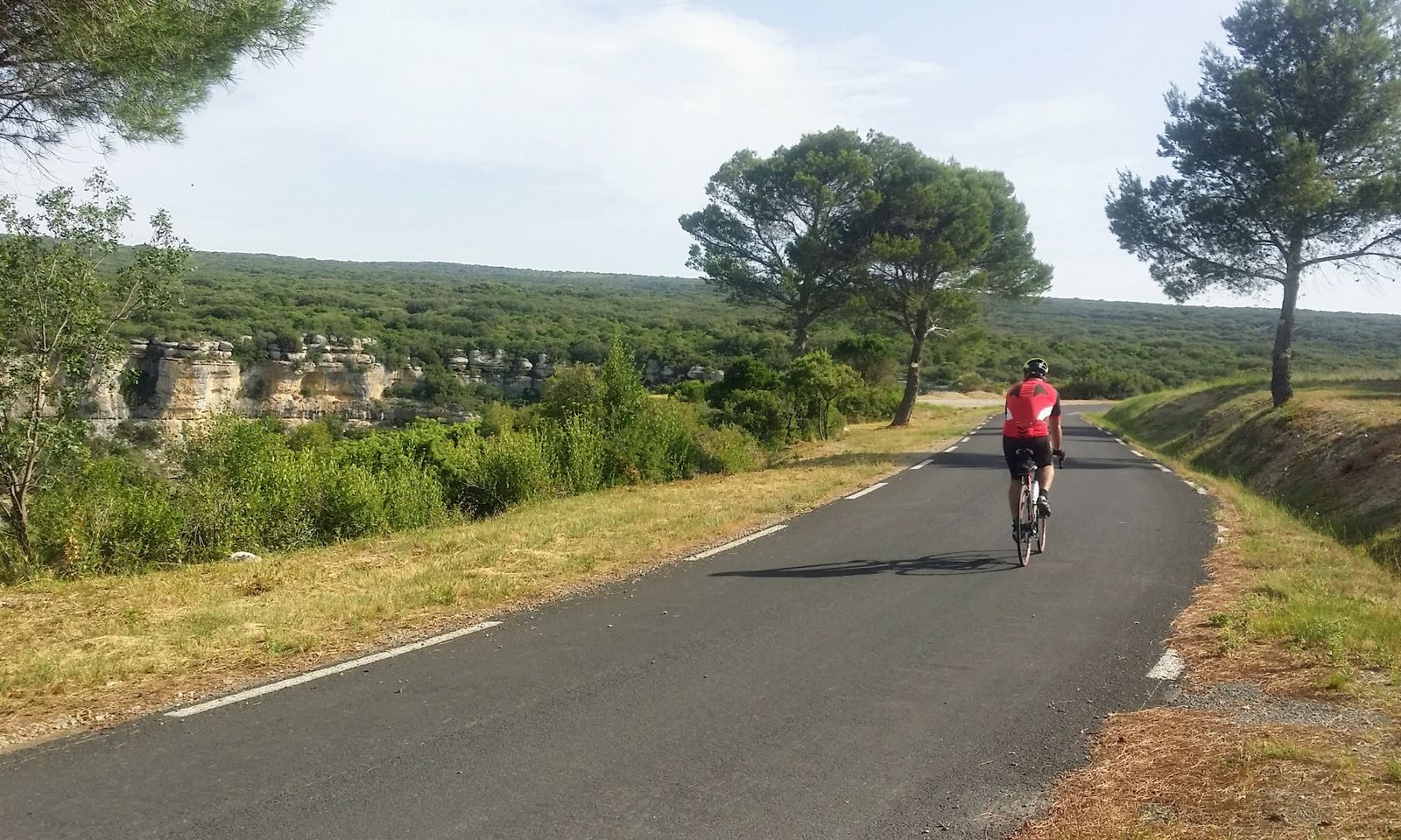
From Ferrals-les-Montagnes, take the D12 heading south. You descend gently to gradually leave the mountainous landscapes of the Haut-Languedoc and reach Saint-Julien des Meulières. The atmosphere at the village and its surroundings is wild, astonishing and different, more arid. Horses quietly graze the dry grasses of the plateau. After the village, you take the D182 to the left, which climbs gently for about 3 km before descending to Fauzan. The landscape on this section is exceptionally beautiful. To your right, you benefit from a wide view over the Aude plain below and the Corbières, foothills of the Pyrenees with the Alaric Mountain in the foreground. Most ancient remains from 4,000 years ago (notably dolmens) and old stone quarries can only be seen by following marked routes on foot, mountain bike or horse. But some are easily accessible near the road.
7
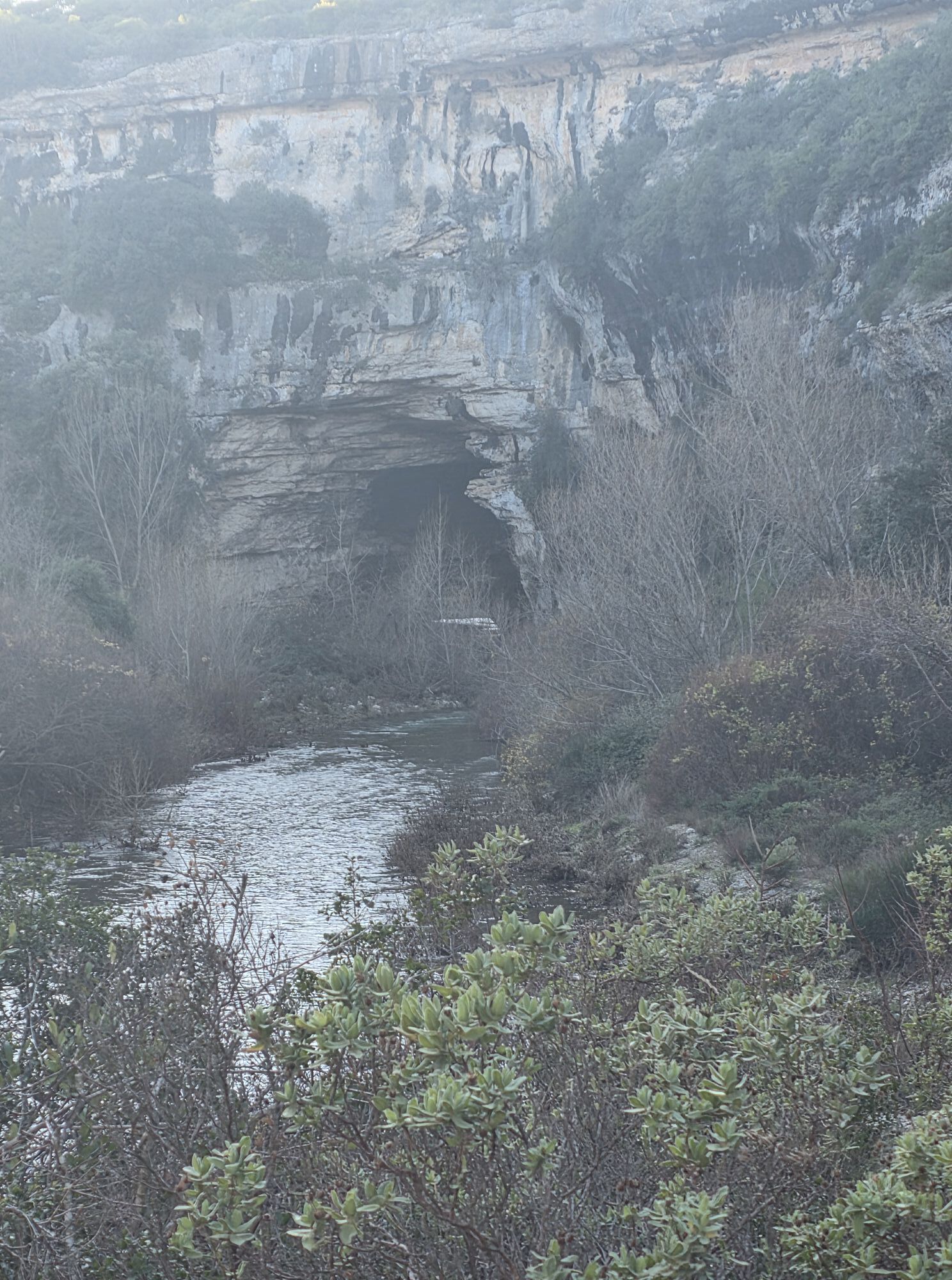
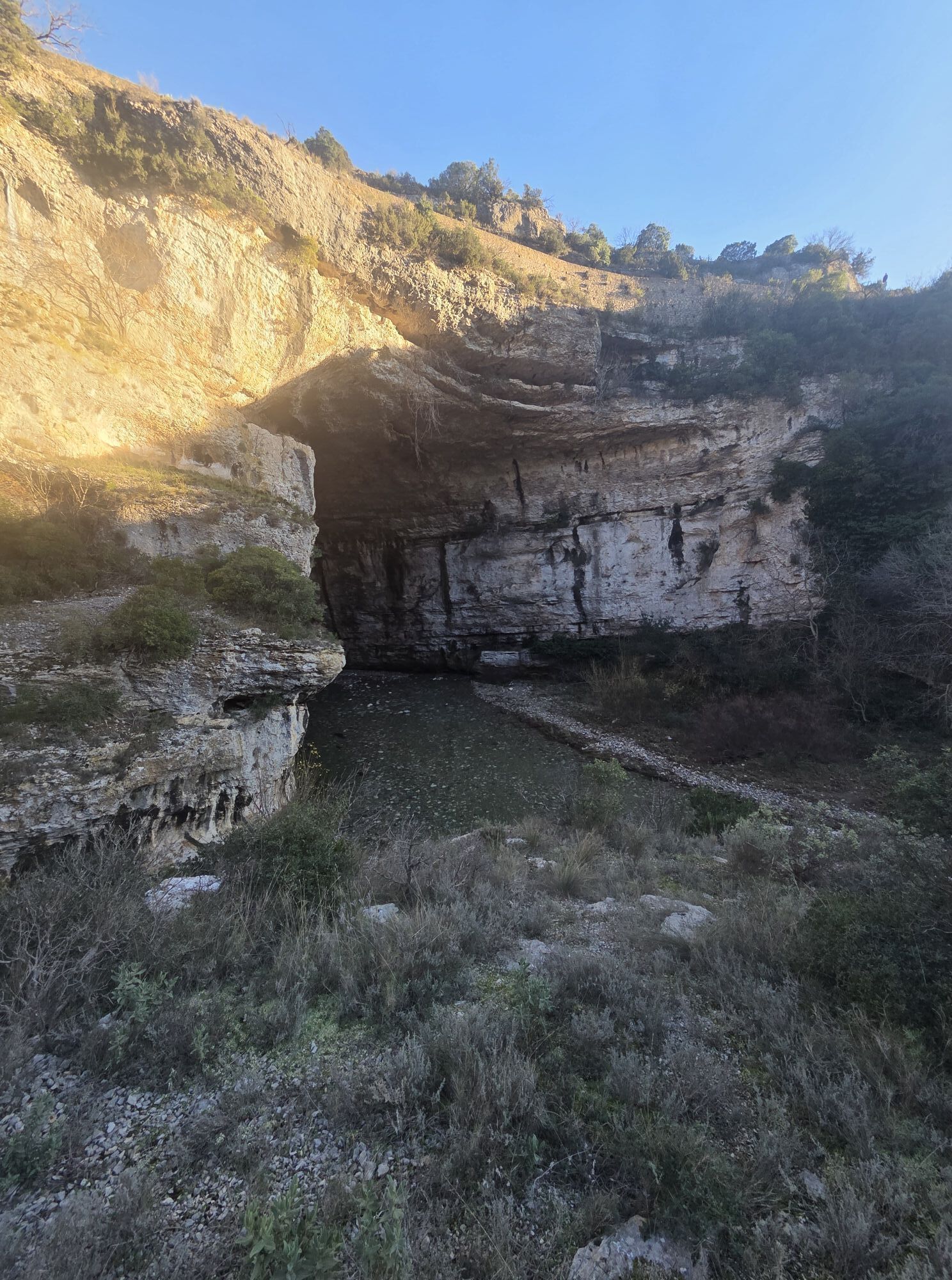
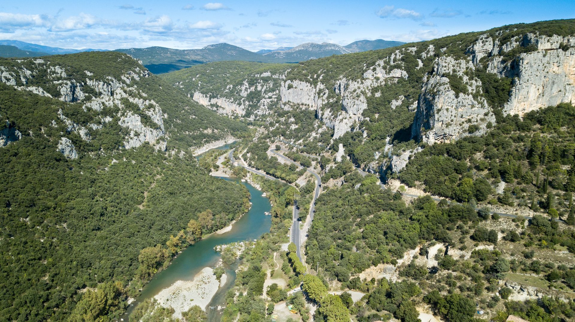
From Fauzan, the road takes a descent of over 6 km allowing you to return to Minerve. What to say? Once again, the road is magnificent and different. You follow the gorges of the Cesse, with some breathtaking viewpoints.
2
A fairly sporty loop through the reliefs of the Haut-Languedoc Regional Natural Park.
"Hérault à Vélo" road signs
+33 4 67 67 71 71
Hérault Tourism
Hérault Cycling
Popularne wycieczki w okolicy
HIKING IN THE TOWN OF MINERVE
średniWędrówka 8,79 kmPeyremaux rock
ciężkiWędrówka 13,3 kmMOUNTAIN BIKE PASSA MERIDIA - SOUTH BRANCH FROM BÉDARIEUX TO CARCASSONNE
średniMountainbike 230,3 kmCIT'ART HIKE OF THE HAUTS DE FERRALS
średniWędrówka 15,5 kmHIKING AIGUES-VIVES THE BANKS OF THE CESSIÈRE
światłoWędrówka 7,52 kmCAR-FREE NATURE ESCAPADE IN THE GREAT SITES - FROM BÉZIERS TO CARCASSONNE VIA THE NORTH
średniJazda na rowerze 139,6 kmLA MOTA DOÇA HIKE
średniWędrówka 8,53 kmAGEL CAZELLES HIKE
światłoWędrówka 7,76 kmOENORANDO® DES MOURELS
światłoWędrówka 6,03 kmCYCLING ROUTE NO.6 - THE VINEYARD OF MINERVOIS AND SAINT-CHINIAN
światłoJazda na rowerze 49,9 km
Wędrówki i tropienie


Nie przegap ofert i inspiracji na następne wakacje
Twój adres e-mail została dodana do listy mailingowej.