






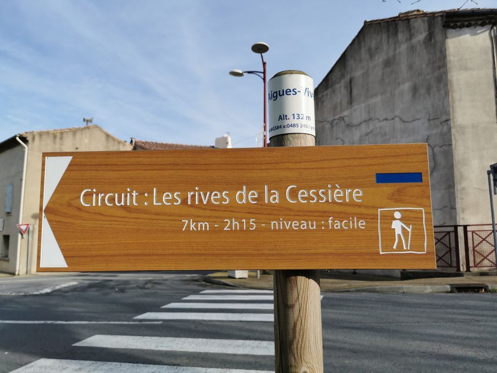
HIKING AIGUES-VIVES THE BANKS OF THE CESSIÈRE

This hike is perfect for a nature getaway, combining discovery and relaxation. The trail follows the Cessière river, crossing forests, garrigue, and vineyards of the Minervois. You will be charmed by the...
This hike is perfect for a nature getaway, combining discovery and relaxation.
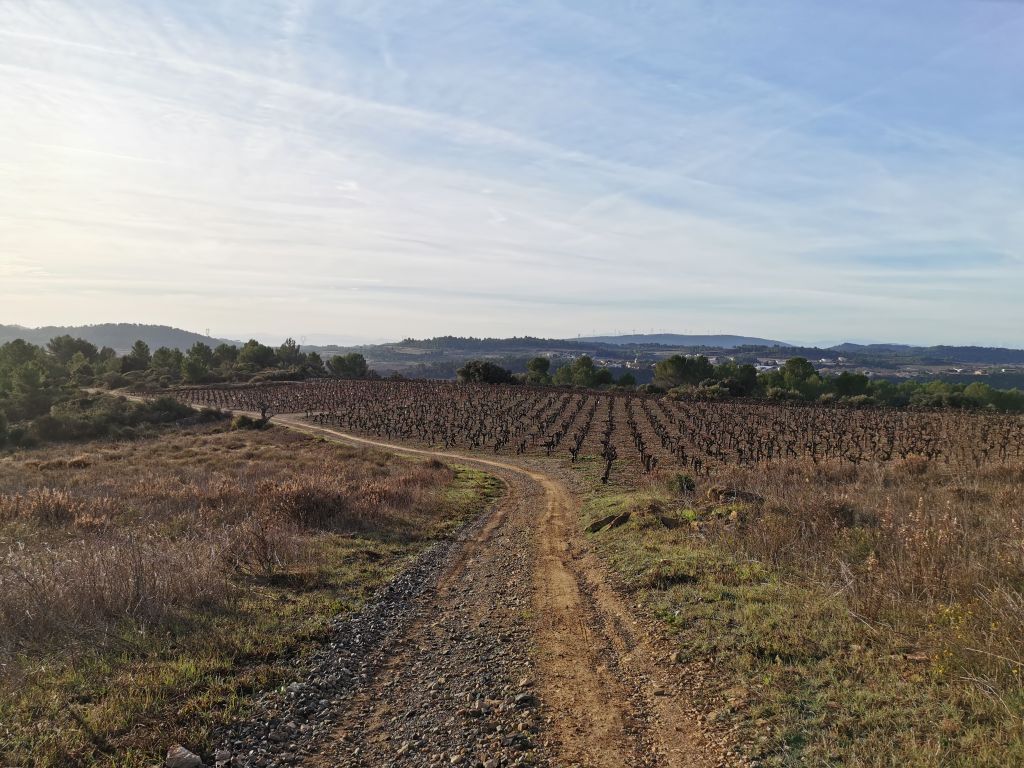
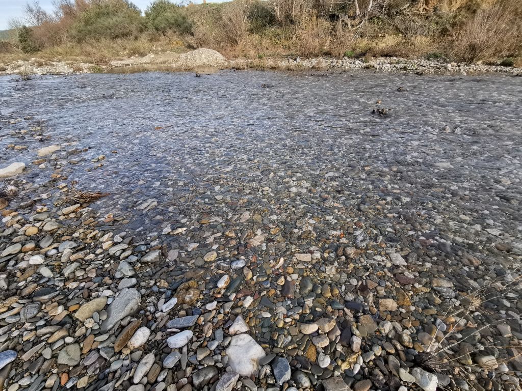
The trail follows the Cessière river, crossing forests, garrigue, and vineyards of the Minervois. You will be charmed by the diversity of landscapes and the tranquility of the preserved valley. Along the way, you will discover picturesque hamlets, stone buildings, and old gardens.
It is an ideal hike to recharge, far from urban hustle, while enjoying the natural beauty of the region.


1
From the parking, head towards Olonzac for 15 m and immediately turn right onto avenue de la Cesse. Reach the Cesse, cross it, and after 450 m, leave the road and take the drivable path going up on the left. Higher up, at the fork, continue straight uphill.
2
193 m, 31 T 485813 4799909 Leave the track before a sharp left turn and take the path on the right that winds under the pines and through the garrigue.
3
164 m, 31 T 485874 4800284 After 600 m, leave the path and turn right onto another path, pass old gardens and a building, and reach the Cessière. Turn right, follow the stream, then take the footbridge to the left towards the hamlet of Paguignan. At the crossroads, go right for a few meters then turn left.
4
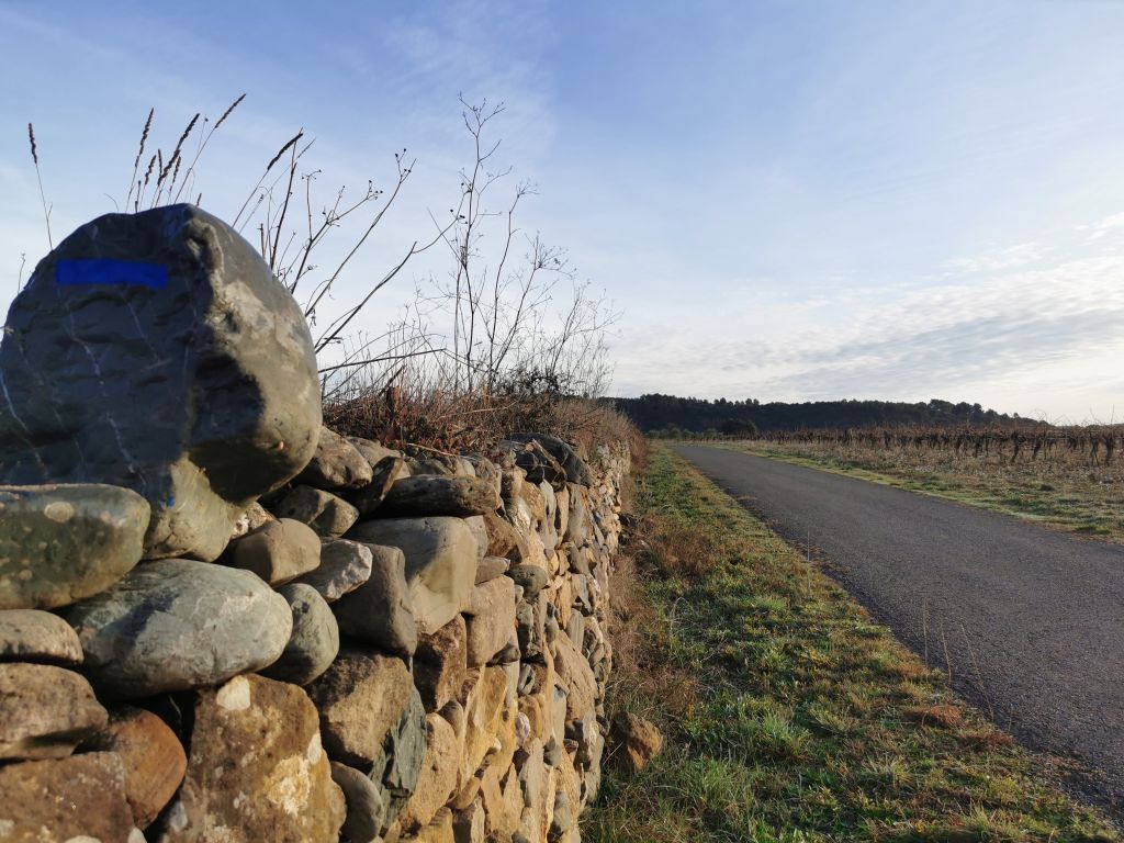
130 m, 31 T 486190 4800288 Leave the climbing path and at the fork take the one passing behind the house, which becomes a trail. Reach a vineyard, and go down right along the low wall.
5
166 m, 31 T 486319 4799623 Go straight on the path along the vineyard. Follow the markers carefully. Continue for 800 m, leaving other paths.
6
109 m, 31 T 486674 4799021 250 m before the road, leave the path at a left turn and go straight on the small trail along the top of a low wall. Stay attentive to markers. After 300 m, at the path, turn left to the road. Follow it to the right and then right again at the crossing. Cross the road.
7
106 m, 31 T 486275 4798632 Take immediately the path on the left. After 250 m, at the fork, turn left then straight on to the river, go up the riverbed and cross to the other bank (if the Cesse is in water, before the river, turn left towards the road. Cross the bridge to the right, then take the path on the right and follow the other bank).
8
106 m, 31 T 485839 4798398 Take the path going up to the right along the wall. In the village, go straight, then turn left under the arch towards place Ste Blaise. Go down to place du Café, continue straight, then take right rue du Cercle. Return to the roundabout and the parking.
In case of emergency, call 112.
• Respect the trail routes to limit trampling of vegetation and erosion. • Learn about and respect the fauna and flora, especially in sensitive areas. • Leave no trace of your passage, no litter, and carry your waste to the next bin. • Do not make fires in nature. • Do not damage crops and plantations. • Always remember to close gates and barriers behind you. • Keep dogs on a leash, as they could accidentally cause damage or be victims of accidents. • Do not drink creek water; its apparent clarity does not guarantee potability. • Check with local municipalities during hunting seasons. Some routes may be dangerous. • Inform yourself about access rules to nature reserves and Natura 2000 zones (dogs, use of noise devices, and plant picking may be prohibited in some cases).
Specific recommendations:
Route not recommended during extreme heat or heavy rain.
Blue local interest trails
https://www.minervois-caroux.com
OT du Minervois au Caroux en Haut-Languedoc
Regional interest trails
Popularne wycieczki w okolicy
-
4,0
HIKING IN THE TOWN OF MINERVE
średniWędrówka 8,79 km -
TOUR AROUND SAINT-JEAN-DE-MINERVOIS - GR® DE PAYS MINERVOIS, SAINT-CHINIAN, FAUGÈRES
średniWędrówka 42,1 km -
CAPITELLES INTERPRETATION TRAIL
światłoWędrówka 4,33 km -
MOUNTAIN BIKE PASSA MERIDIA - SOUTH BRANCH FROM BÉDARIEUX TO CARCASSONNE
średniMountainbike 229,0 km -
HIKE AROUND THE MALIBERT SPRING
średniWędrówka 12,2 km -
A CAR-FREE NATURE GETAWAY THROUGH THE MAJOR SIGHTS—FROM BÉZIERS TO CARCASSONNE VIA THE NORTH
średniJazda na rowerze 149,7 km -
CASTLE CYCLE LOOP
światłoJazda na rowerze 24,1 km -
HIKING THE CANAL DU MIDI
światłoWędrówka 13,0 km -
CYCLING ROUTE NO.6 - THE VINEYARD OF MINERVOIS AND SAINT-CHINIAN
światłoJazda na rowerze 49,9 km -
MEDIEVAL ROUTE THROUGH THE MINERVOIS VINEYARD
Motorrad 28,8 km
Wędrówki i tropienie


Nie przegap ofert i inspiracji na następne wakacje
Twój adres e-mail została dodana do listy mailingowej.





