


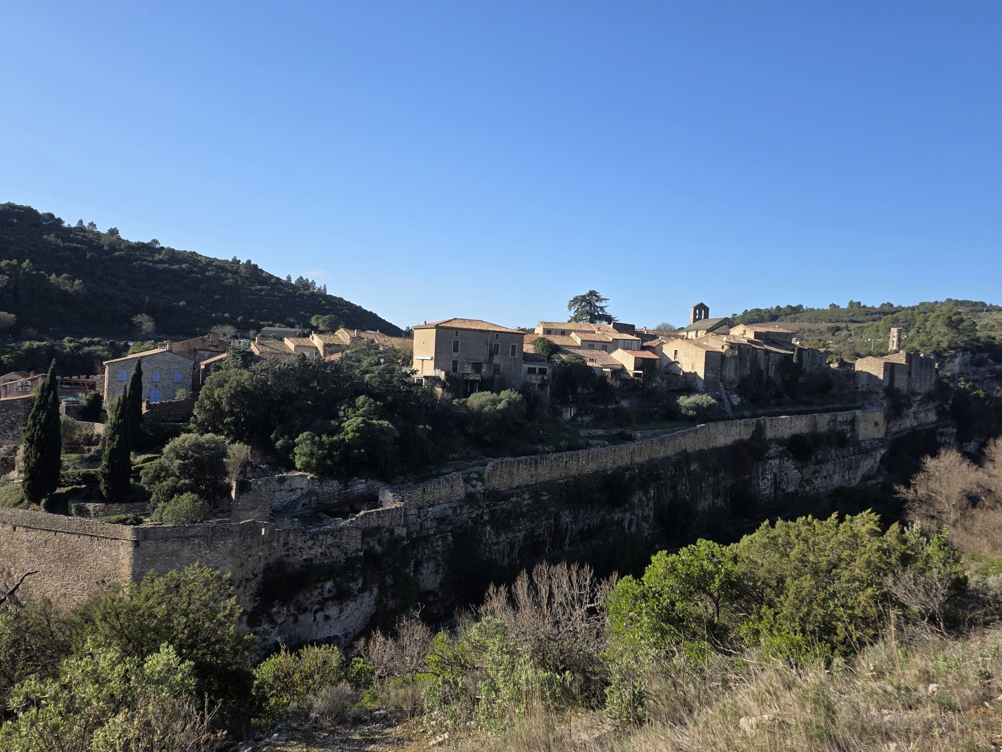
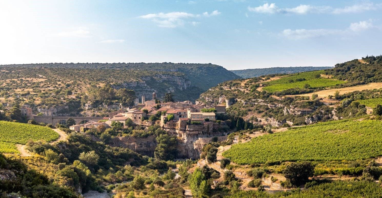
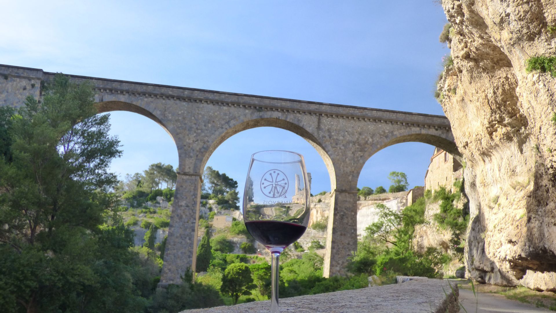
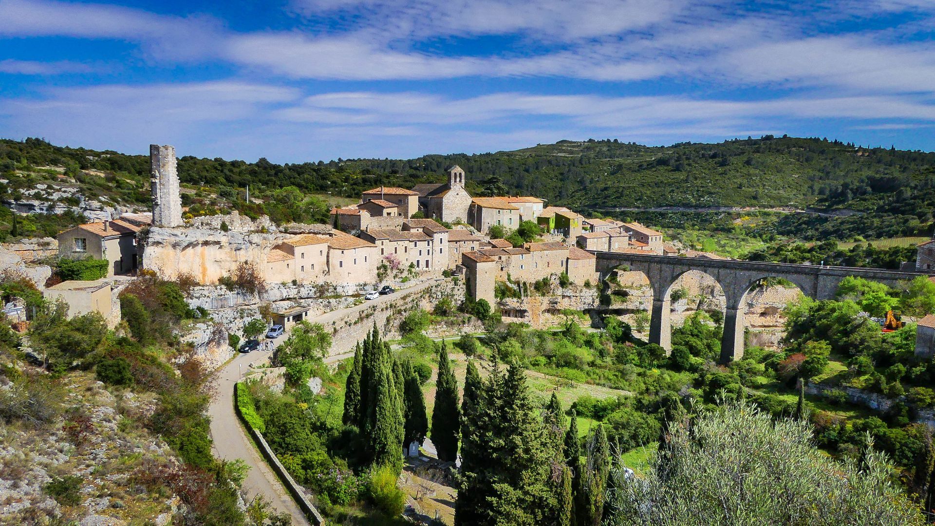
HIKING IN THE TOWN OF MINERVE

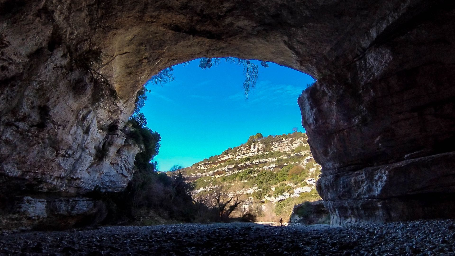
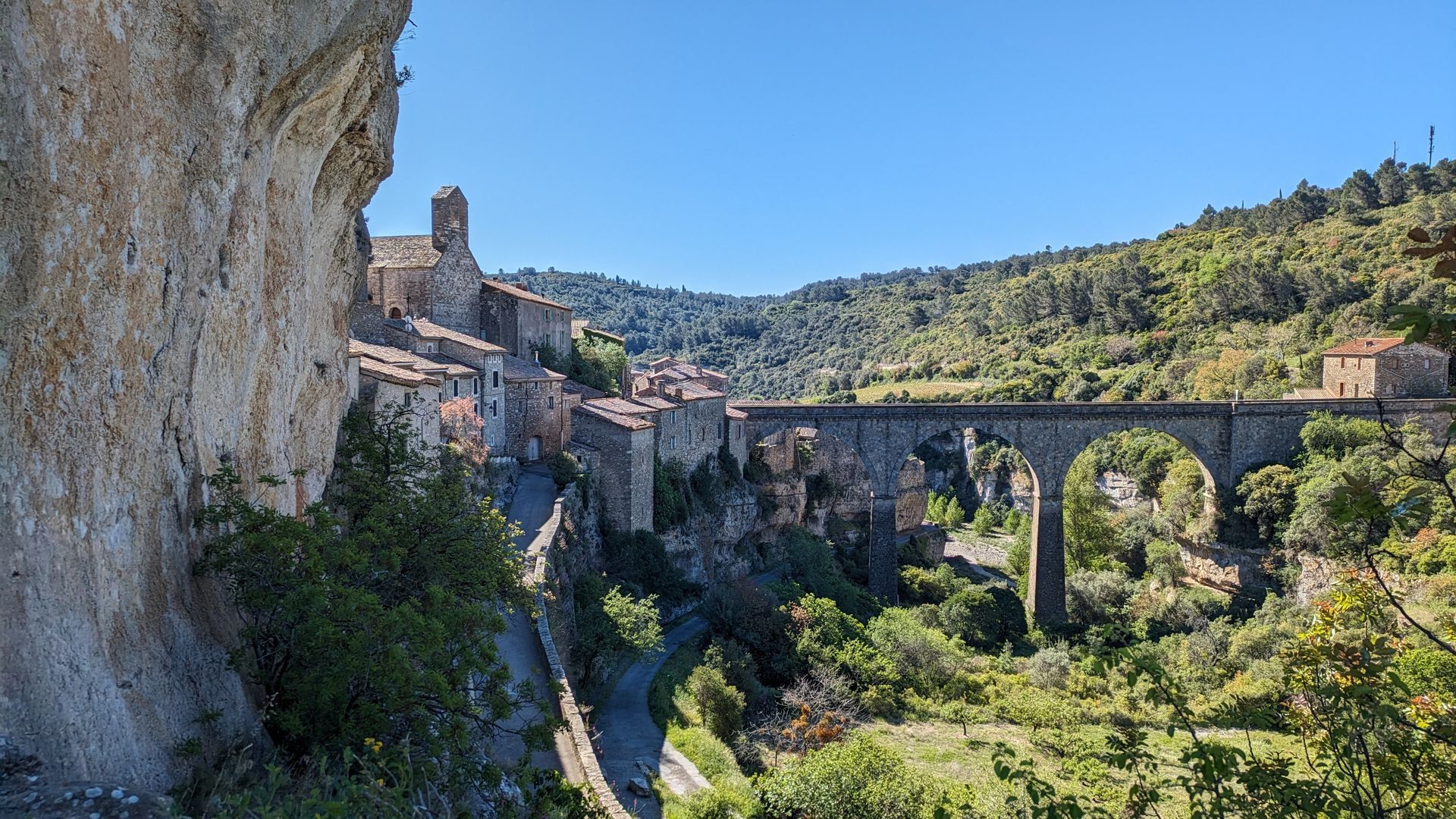
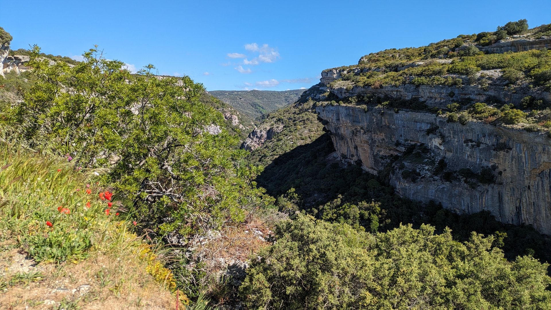
This tour around Minerve has it all! The natural bridges of the Cesse, the garrigue, the aerial passages of the Brian gorges and, of course, the cobbled streets of the town.Warning: after a rainy spell,...
This tour around Minerve has it all! The natural bridges of the Cesse, the garrigue, the aerial passages of the Brian gorges and, of course, the cobbled streets of the town.
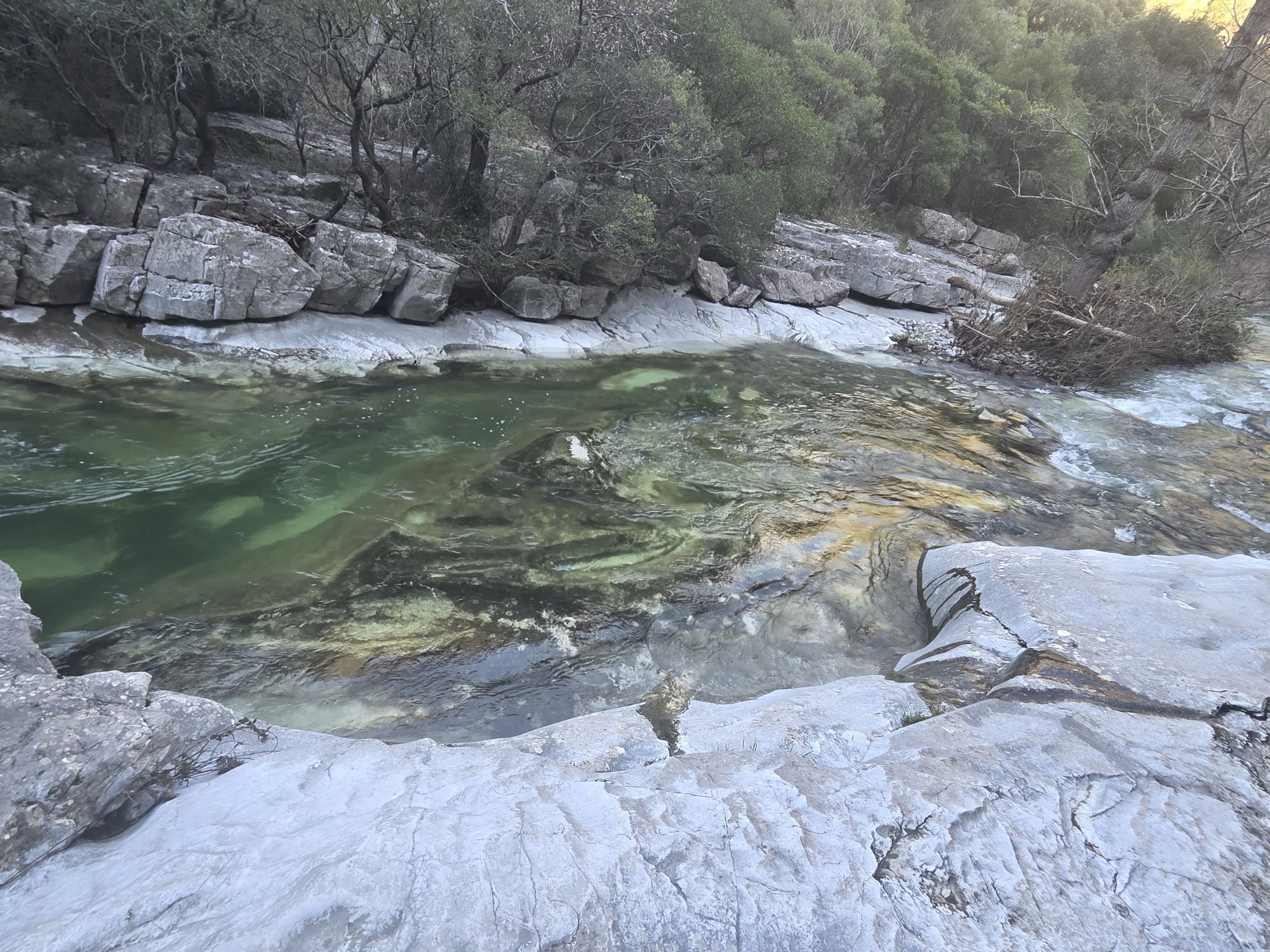
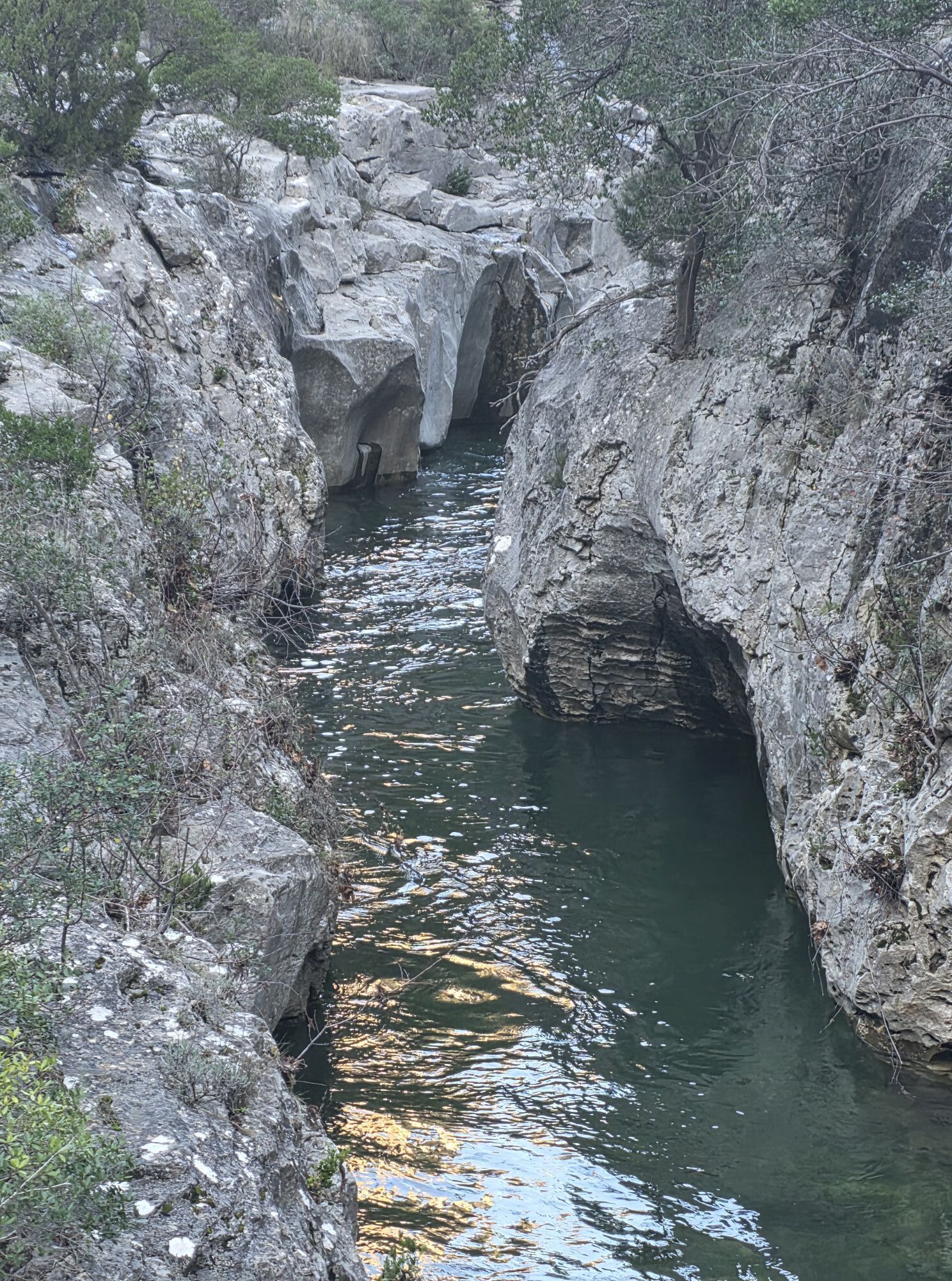
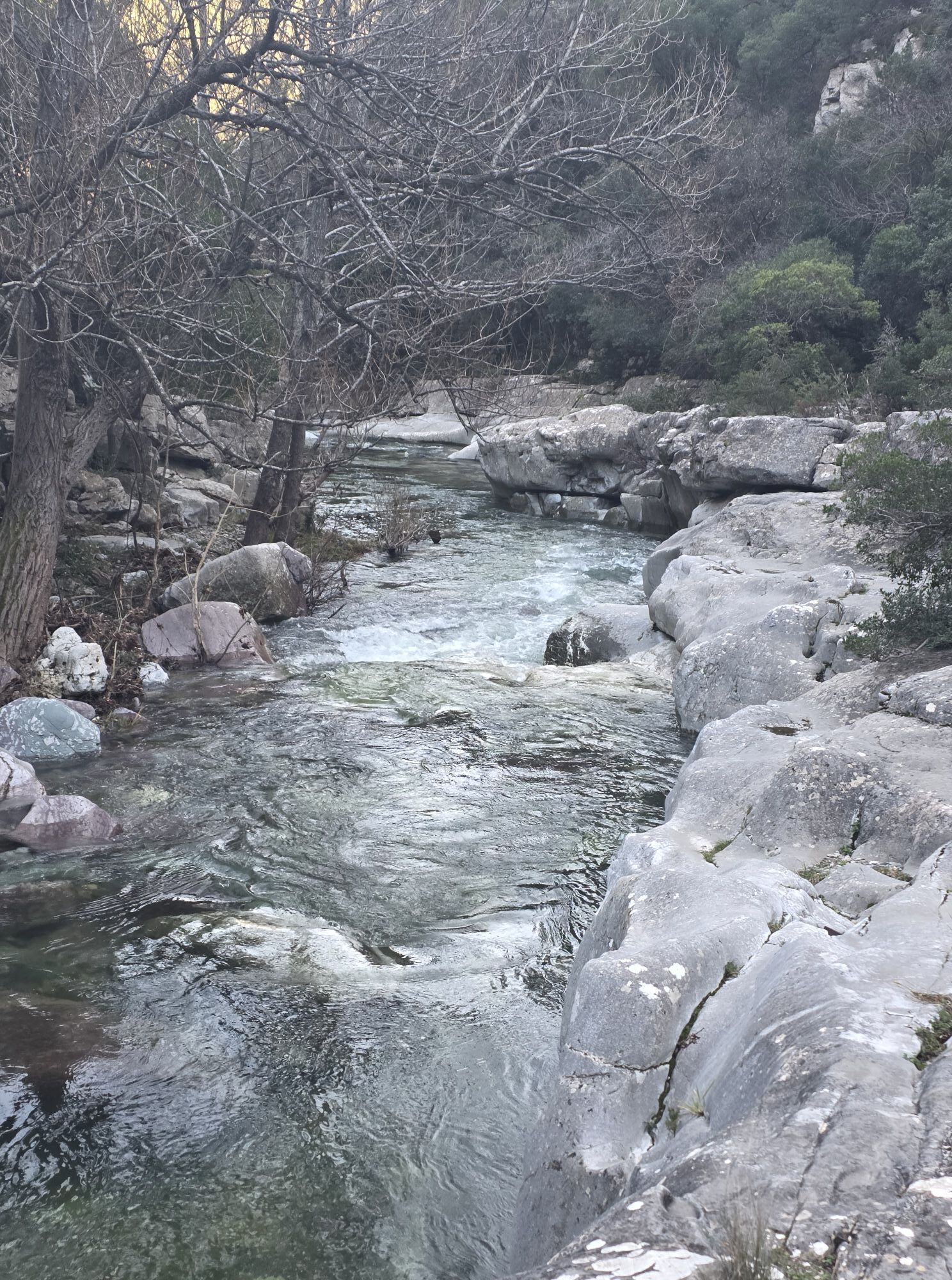
Warning: after a rainy spell, we advise you to check the conditions for crossing the Brian river: the ford between the town and the catapult can sometimes be covered in water or become slippery.


1
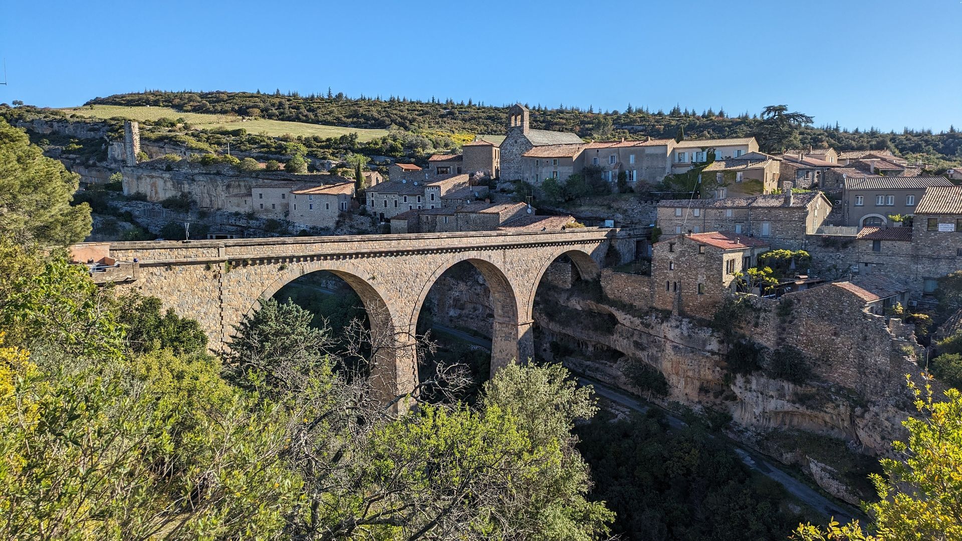
Follow the access road to the parking lot, then turn left on the D147E for 400 m (view of the natural bridges of the Cesse gorges).
2
Take the path to the right for 350 m, then descend to the left into the scrubland. Cross the small ford (often dry) and climb towards the pines. After the mazet, turn right along the vineyard, then follow the track to the right and continue straight ahead on the main track. It crosses the Loubatière ravine (troglodyte shelters) and leads to a crossroads.
3
Climb the left-hand track for 800 m. Cross the D147 and continue along the track, which rises to the left. Ignore the left-hand track and continue straight ahead on the cemented track leading down to the Brian gorges.
4
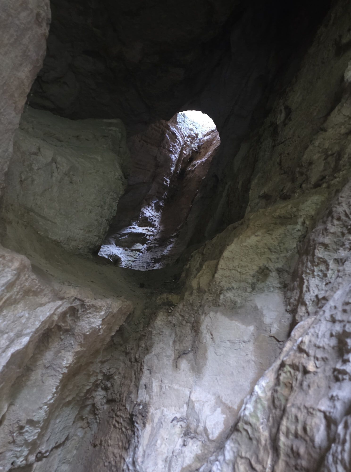
Modification of old route: Stay on the track down to the pumping station, and continue along the Brian (slippery slabs). Cross the Daniel bridge (caution, low parapet!) and, on the left bank, climb the side path to the crossroads.
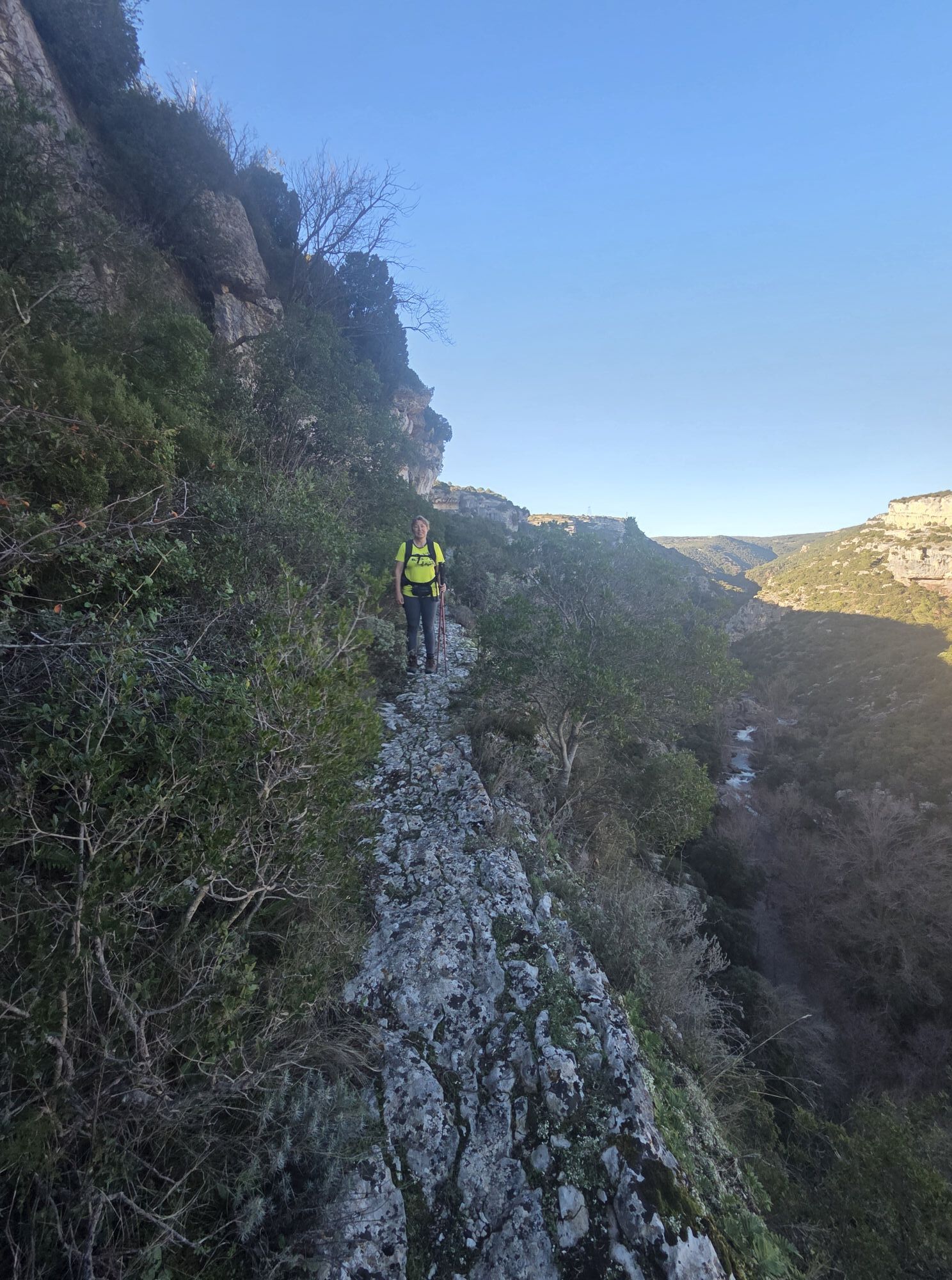
5
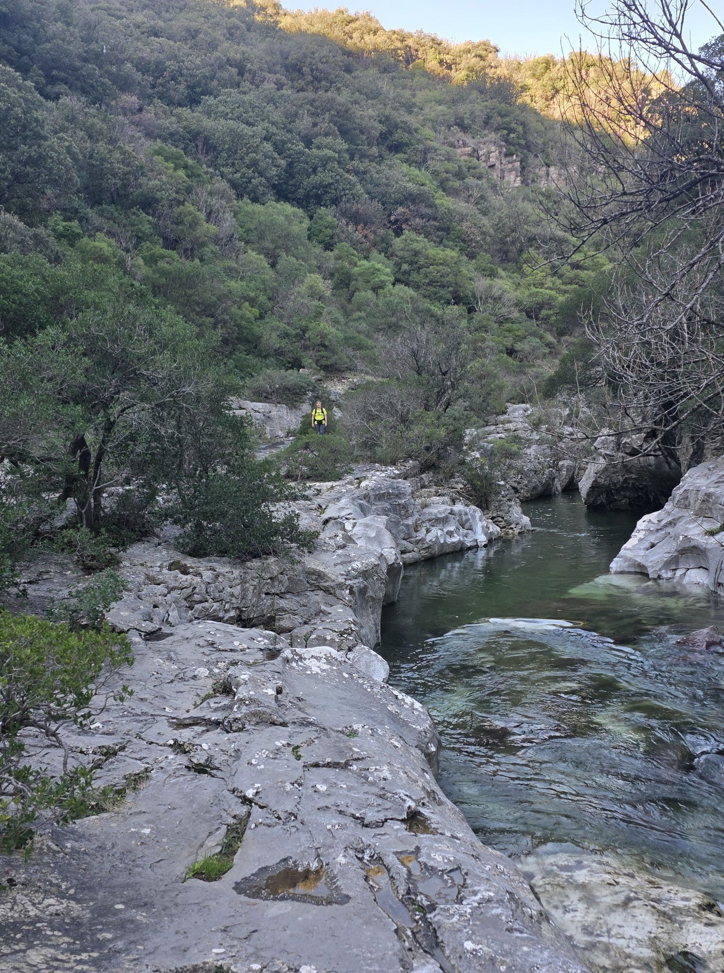
Continue right along the steep path (be careful approaching the cliffs) to reach a flat area. The path turns left, climbs the combe to the left and reaches the plateau. Continue through the garrigue for 200 m.
6
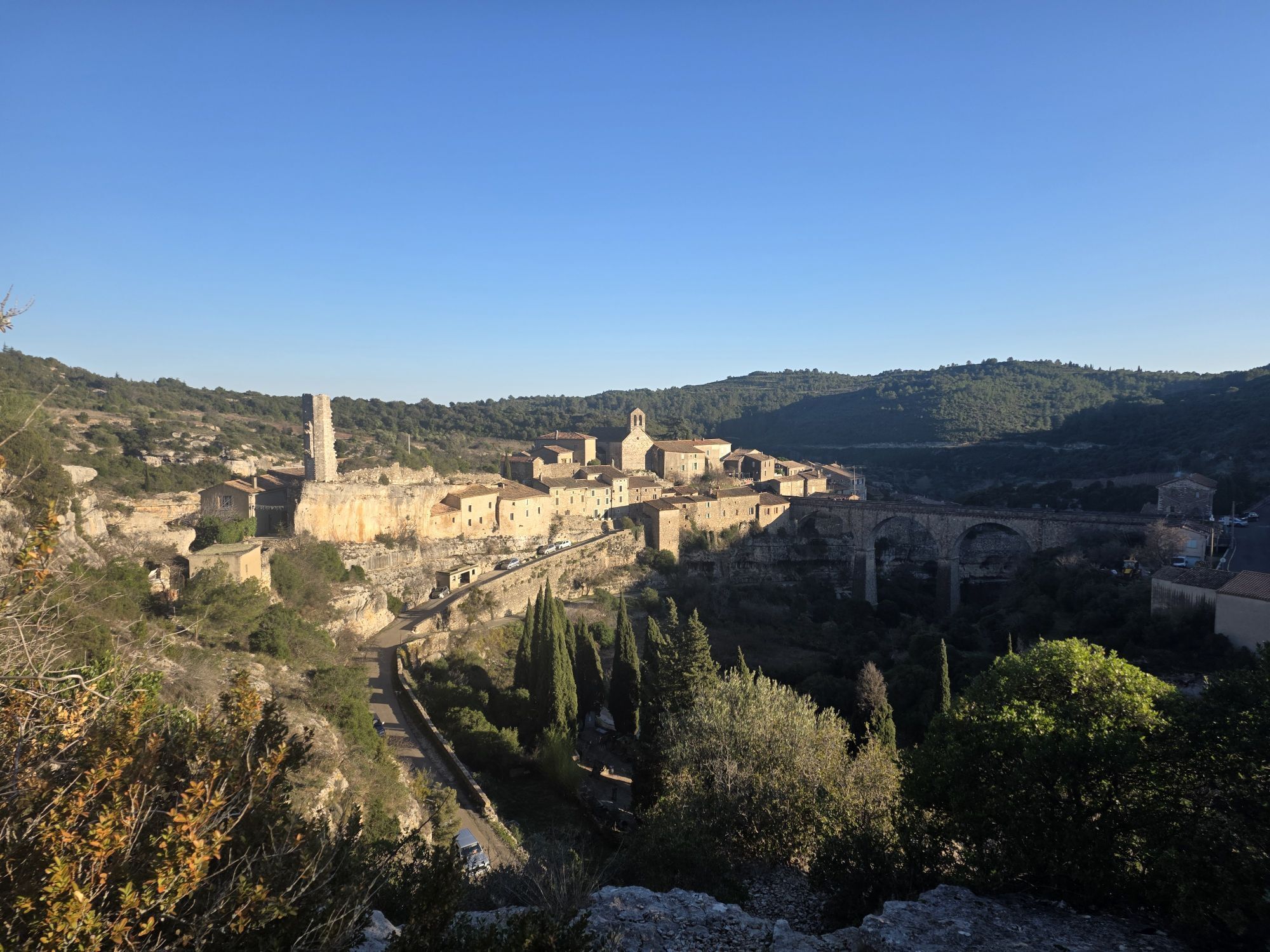
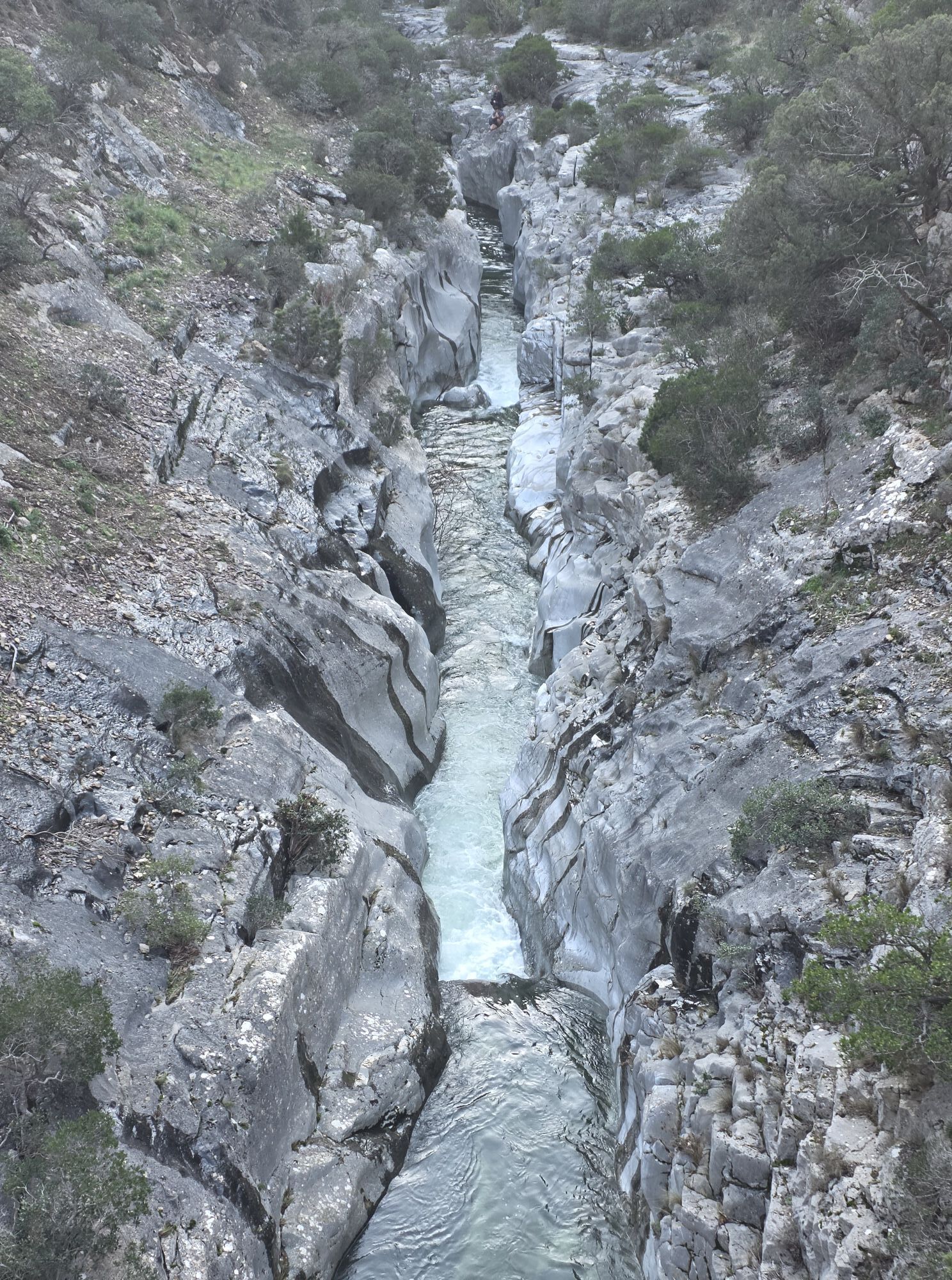
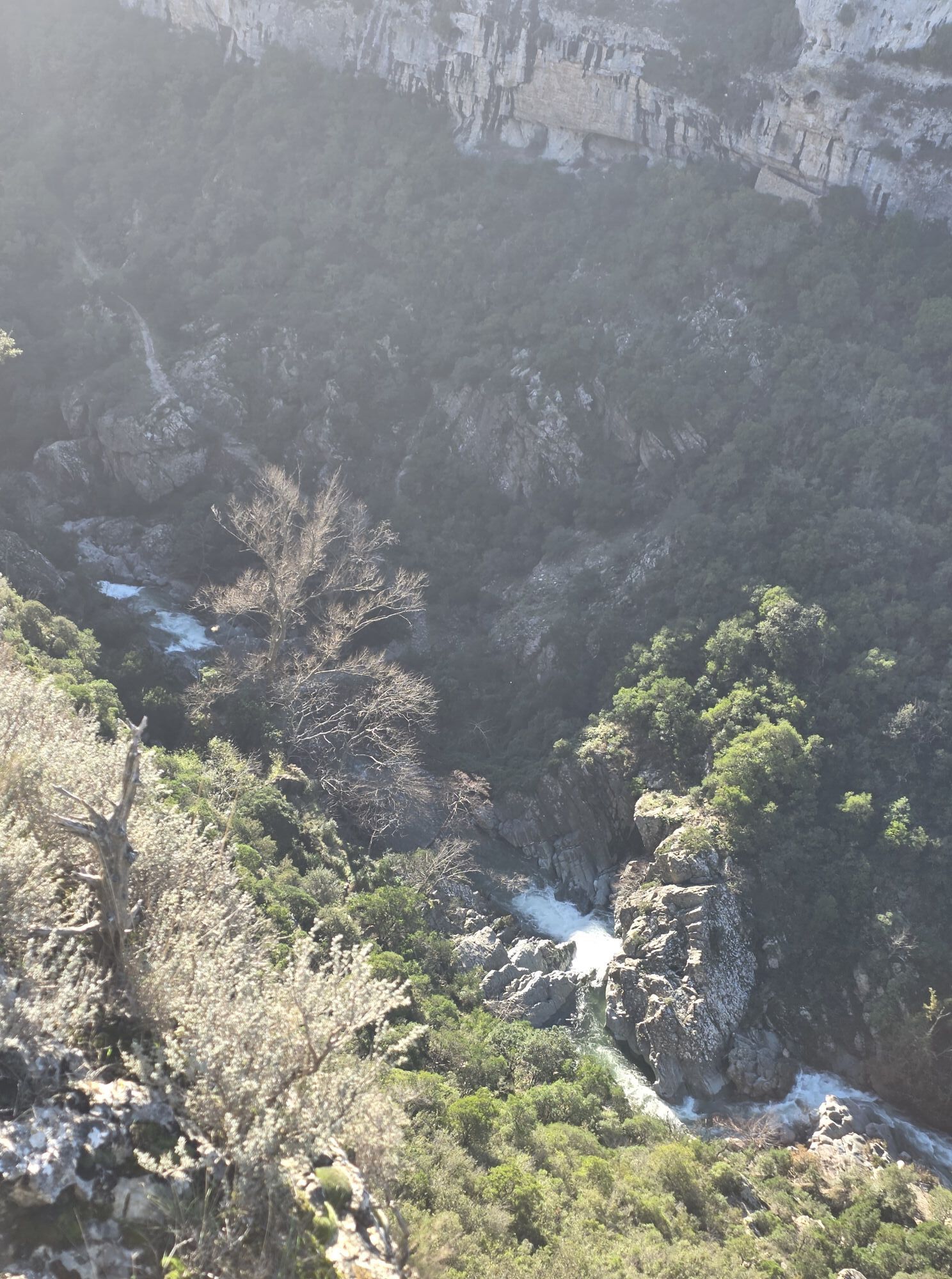
Take the wide right-hand track for 1.5 km. It overlooks the Brian gorges and the town of Minerve.
7
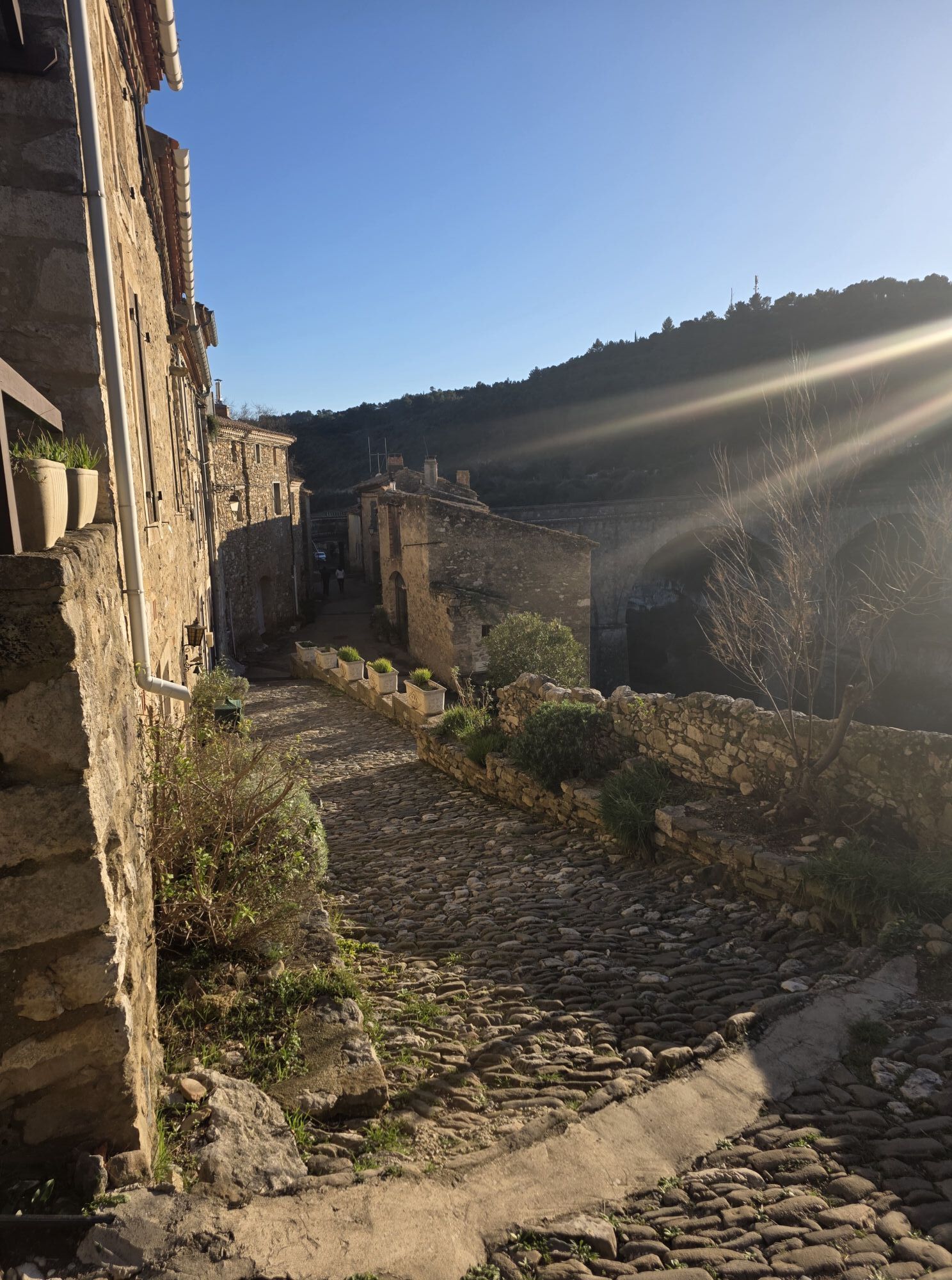
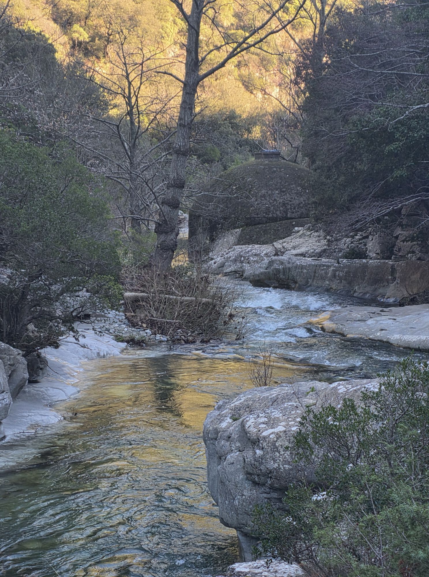
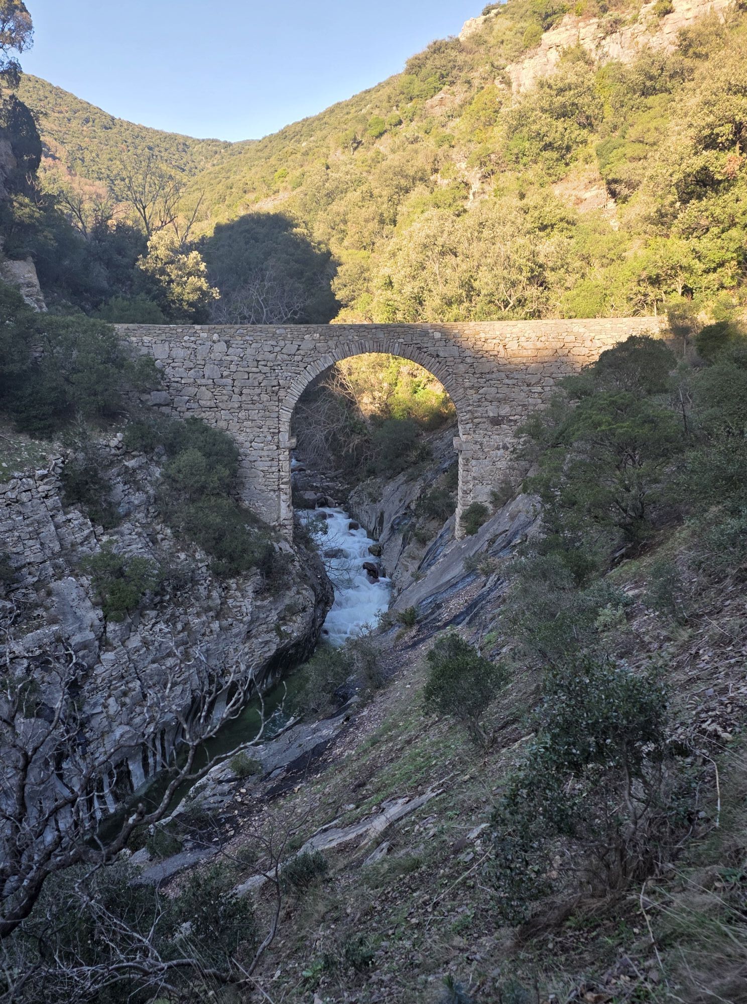
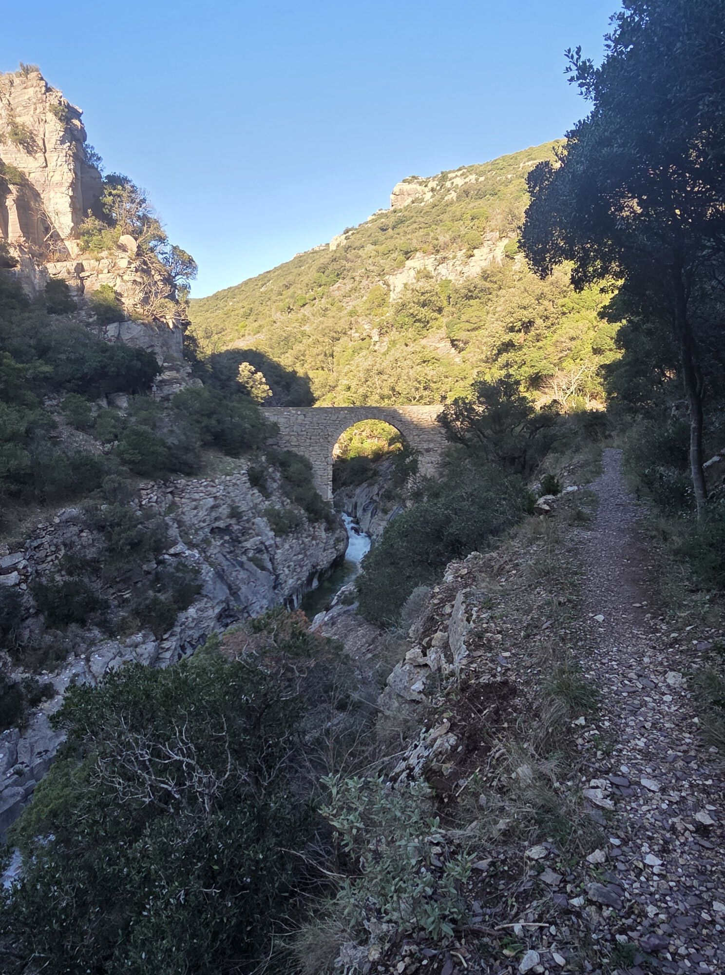
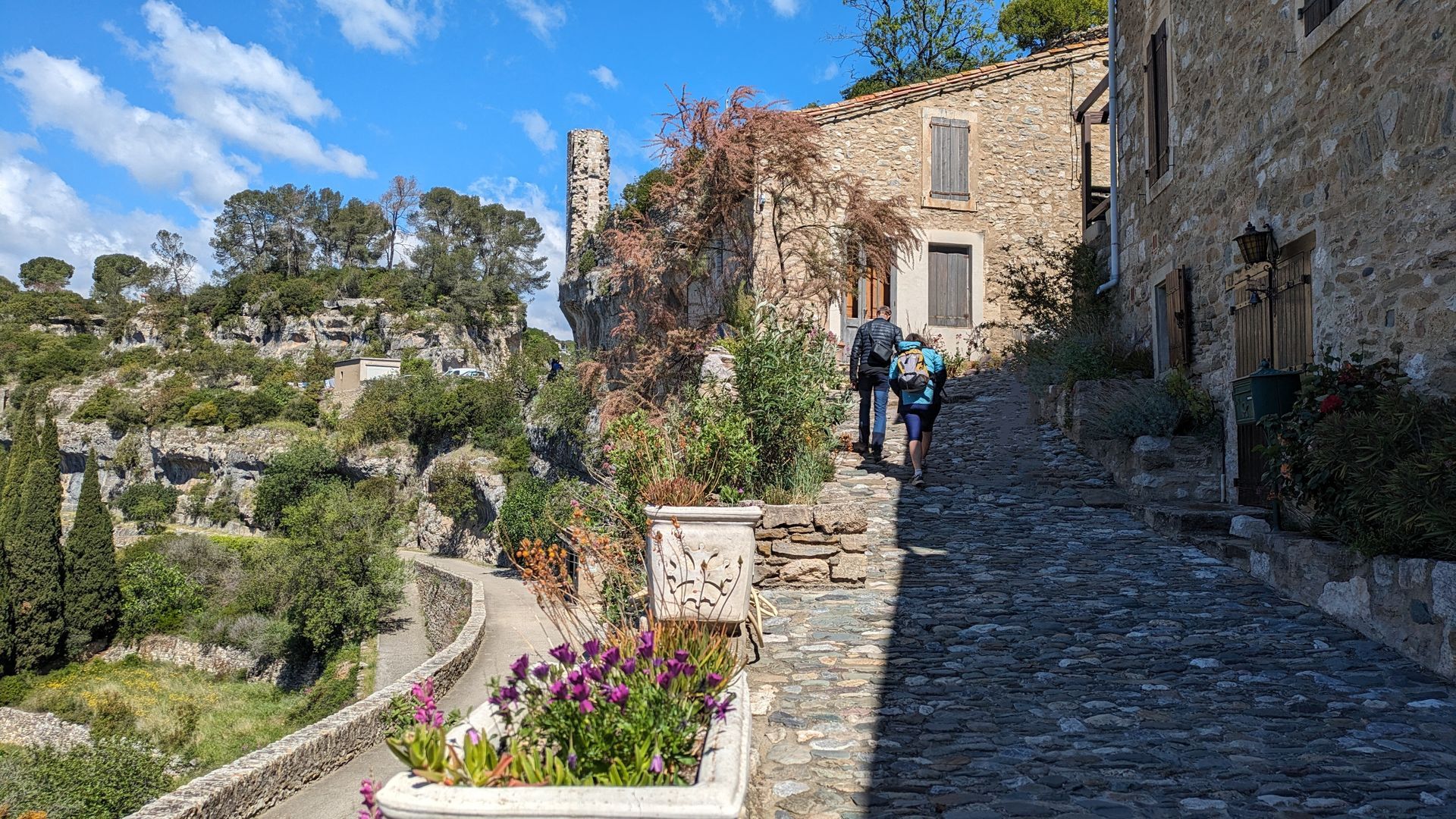
La Malvoisine - After the catapult, take the path on the right, cross the footbridge and climb the stairs into the town.
8
Le Village - Take the Grand-Rue to the right, then the Rue des Remparts.
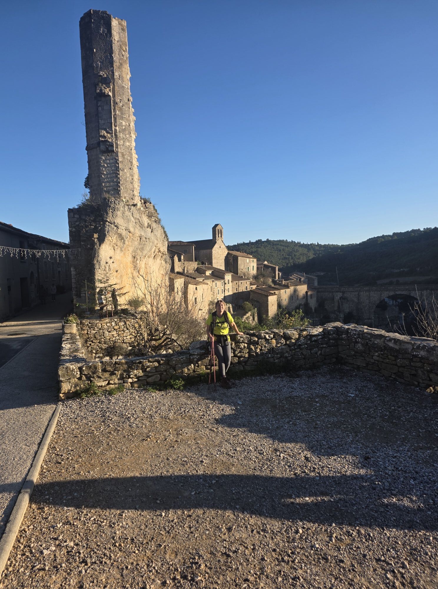
9
La Candela - At the end of the village, after the tower (Candéla), climb the alley to reach the parking lot.
In case of emergency, dial 112
Parking close to departure point
Warning: after a rainy spell, we advise you to check the conditions for crossing the Brian river: the ford between the town and the catapult can sometimes be covered in water or become slippery.
Jaune PR
+33 4 67 97 06 65
PR - FFR
Popularne wycieczki w okolicy
MOUNTAIN BIKE PASSA MERIDIA - SOUTH BRANCH FROM BÉDARIEUX TO CARCASSONNE
średniMountainbike 230,3 kmCIT'ART HIKE OF THE HAUTS DE FERRALS
średniWędrówka 15,5 kmHIKING AIGUES-VIVES THE BANKS OF THE CESSIÈRE
światłoWędrówka 7,52 kmTOUR AROUND SAINT-JEAN-DE-MINERVOIS - GR® DE PAYS MINERVOIS, SAINT-CHINIAN, FAUGÈRES
średniWędrówka 42,1 kmCAR-FREE NATURE ESCAPADE IN THE GREAT SITES - FROM BÉZIERS TO CARCASSONNE VIA THE NORTH
średniJazda na rowerze 139,6 kmCYCLE LOOP NO.12 - THE ASSAULT ON THE HAUT-LANGUEDOC FROM MINERVE
światłoJazda na rowerze 37,3 kmLA MOTA DOÇA HIKE
średniWędrówka 8,53 kmAGEL CAZELLES HIKE
światłoWędrówka 7,76 kmOENORANDO® DES MOURELS
światłoWędrówka 6,03 kmCYCLING ROUTE NO.6 - THE VINEYARD OF MINERVOIS AND SAINT-CHINIAN
światłoJazda na rowerze 49,9 km
Wędrówki i tropienie


Nie przegap ofert i inspiracji na następne wakacje
Twój adres e-mail została dodana do listy mailingowej.