






THE VALLON DE CAMBOUSSELS

Let yourself be seduced by the authentic charm of the Vallon de Camboussels, an enchanting break starting from the picturesque hamlet of Coulouma. This 6.6 km loop is a true invitation to contemplation...
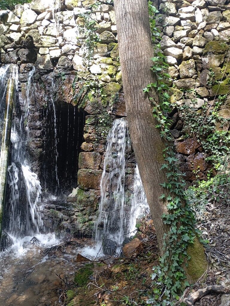
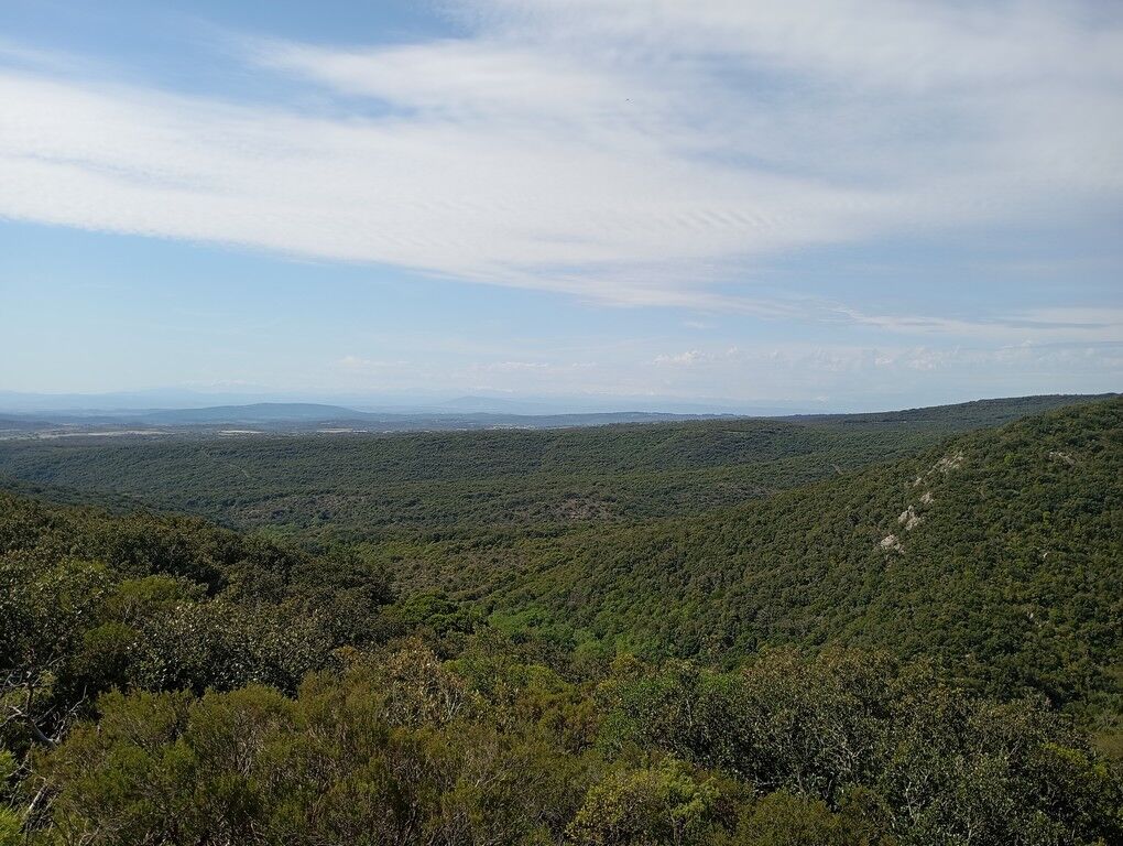
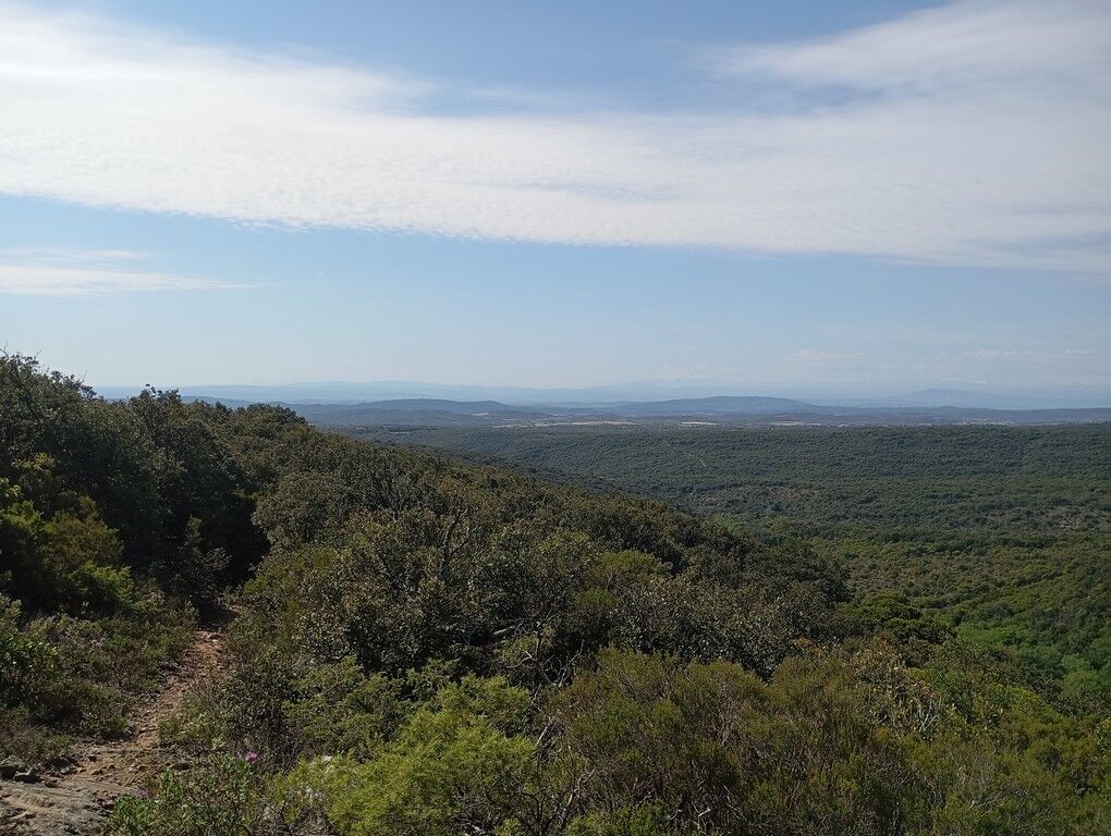
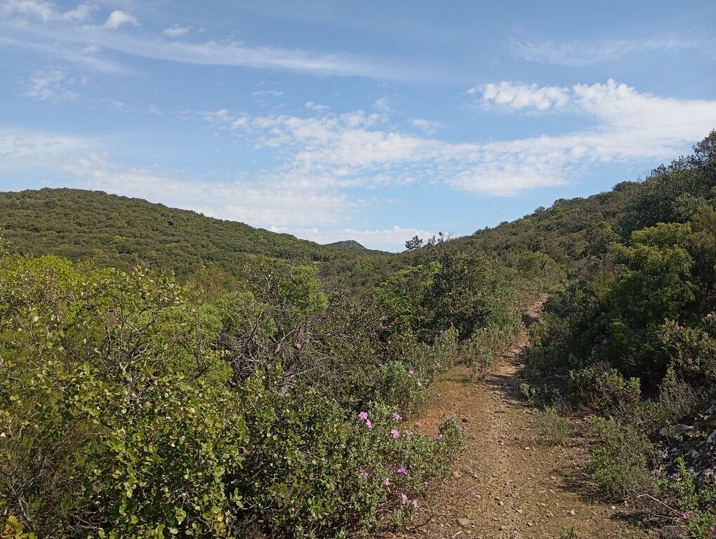
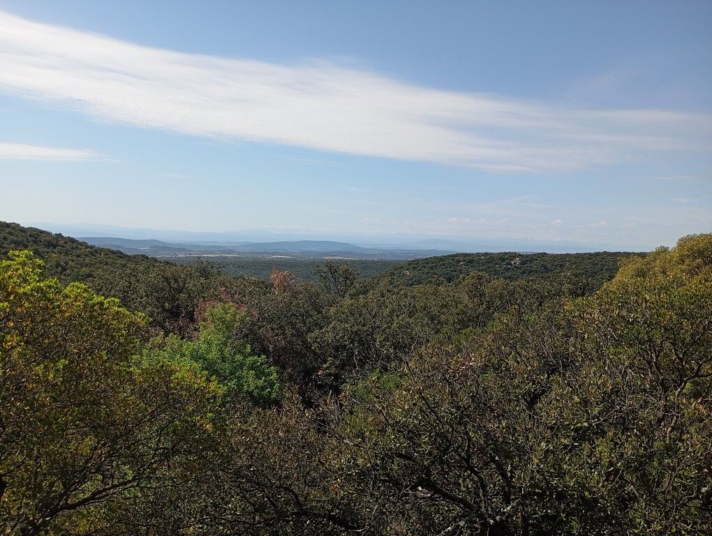
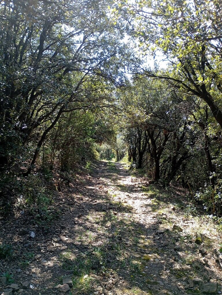
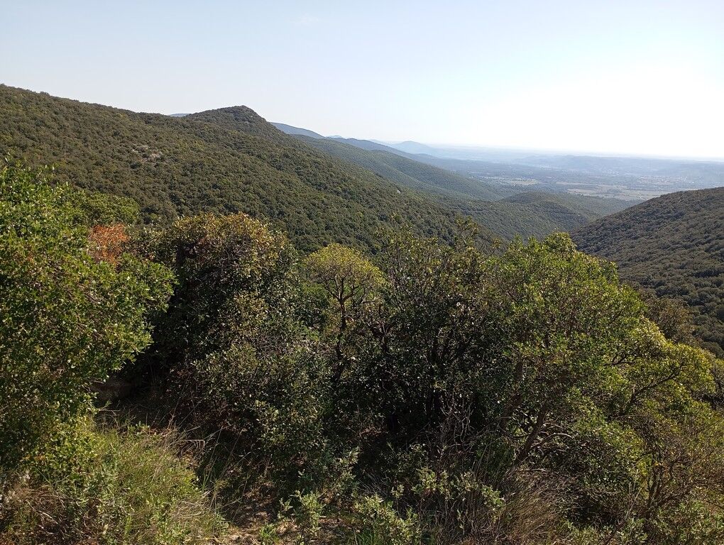
From your first steps, the plateau unfolds and offers you a magnificent panorama: the reliefs of the Saint-Chinian forest sketch the horizon and, in clear weather, the Pyrenees mountain range reveals itself in all its majesty. Then, the atmosphere changes. The trail gently descends into the coolness of the undergrowth to stroll along the river. It is here that history is told: along the interpretive panels, learn the secrets of peasant life from the past, from the work of the charcoal burners to the ingenuity of water management.
Between rural heritage and preserved nature, this accessible walk will delight the curious. Just plan good shoes for the rocky sections and save some energy to enjoy the final ascent!



1
From the parking lot, return towards Coulouma and cross the hamlet.
2
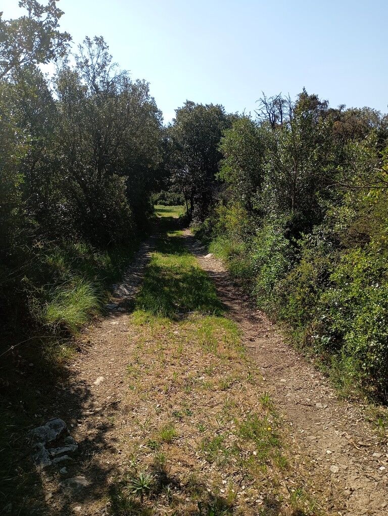
At the exit of the hamlet, walk on the departmental road towards Assignan for 150m then take the path that goes up to the left. Enjoy the very beautiful views offered by the route over the Saint-Chinian state forest, the Pyrenees in clear weather.
3
After 800m, the trail reaches the D178, follow the road for 20 m, cross it and take the path that descends on the right. Enjoy again the beautiful views.
4
After 1.5 km of descent, the route leaves the main trail and continues to the right into an undergrowth. The route follows the river for 400m and reaches a basin that used to be for irrigation. Pass the basin and climb two series
5
Caution! Bypass the collapsed stone bridge by following the markers – do not try to climb on the bridge.
6
After about a hundred meters, take the stairs on the right. Don’t miss the panel about the charcoal burners on the right (make a round trip). Then continue the route to the pumping station and take the main track which goes up to the plateau for 500m. Always stay on the track.
7
At the crossroads of tracks, go right and reach the departmental road D176.
8
Caution: cross the D176 road to reach the path opposite. After 500m turn left to reach the access track to the parking lot
Béziers Cap d'Agde
Access Parking: Follow the "Parking" signs in Coulouma (600m track, watch out for ruts). Plan good shoes (rocky passages). Don’t miss the detour to the charcoal burners! Caution: strictly bypass the collapsed stone bridge by following the signage. The end requires some breath to climb back to the hamlet. Avoid rainy days (access track).
Local interest blue trails
https://www.minervois-caroux.com/
Minervois au Caroux Tourist Office
Country interest trails
Popularne wycieczki w okolicy
-
4,0
HIKING IN THE TOWN OF MINERVE
średniWędrówka 8,79 km -
TOUR AROUND SAINT-JEAN-DE-MINERVOIS - GR® DE PAYS MINERVOIS, SAINT-CHINIAN, FAUGÈRES
średniWędrówka 42,1 km -
CAPITELLES INTERPRETATION TRAIL
światłoWędrówka 4,33 km -
MOUNTAIN BIKE PASSA MERIDIA - SOUTH BRANCH FROM BÉDARIEUX TO CARCASSONNE
średniMountainbike 229,0 km -
CAMIN'ARTS GREENWAY (CAPESTANG - CRUZY)
światłoJazda na rowerze 11,9 km -
HIKE AROUND THE MALIBERT SPRING
średniWędrówka 12,2 km -
OENOVELO 1 BIS - FROM SAINT-CHINIAN TO THE CANAL DU MIDI DEPARTING FROM MAGALAS STATION
światłoJazda na rowerze 107,1 km -
HIKING AIGUES-VIVES THE BANKS OF THE CESSIÈRE
światłoWędrówka 7,52 km -
A CAR-FREE NATURE GETAWAY THROUGH THE MAJOR SIGHTS—FROM BÉZIERS TO CARCASSONNE VIA THE NORTH
średniJazda na rowerze 149,7 km -
CASTLE CYCLE LOOP
światłoJazda na rowerze 24,1 km
Wędrówki i tropienie


Nie przegap ofert i inspiracji na następne wakacje
Twój adres e-mail została dodana do listy mailingowej.





