







HIKING BETWEEN THE VINES AND THE GARRIGUES

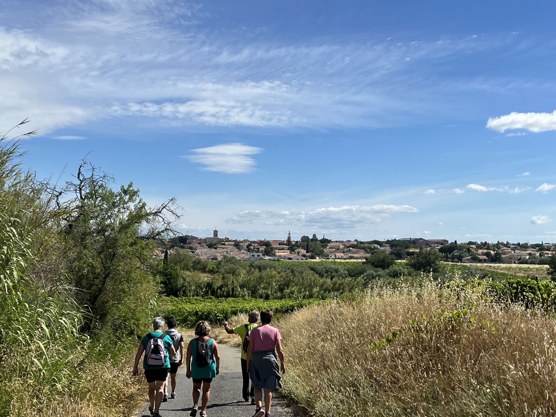
An easy hike close to Béziers. Along the trails, you will cross bucolic landscapes, between sunny vineyards with views of the Avants-Monts, side paths and shaded woods, until the heart of the village,...
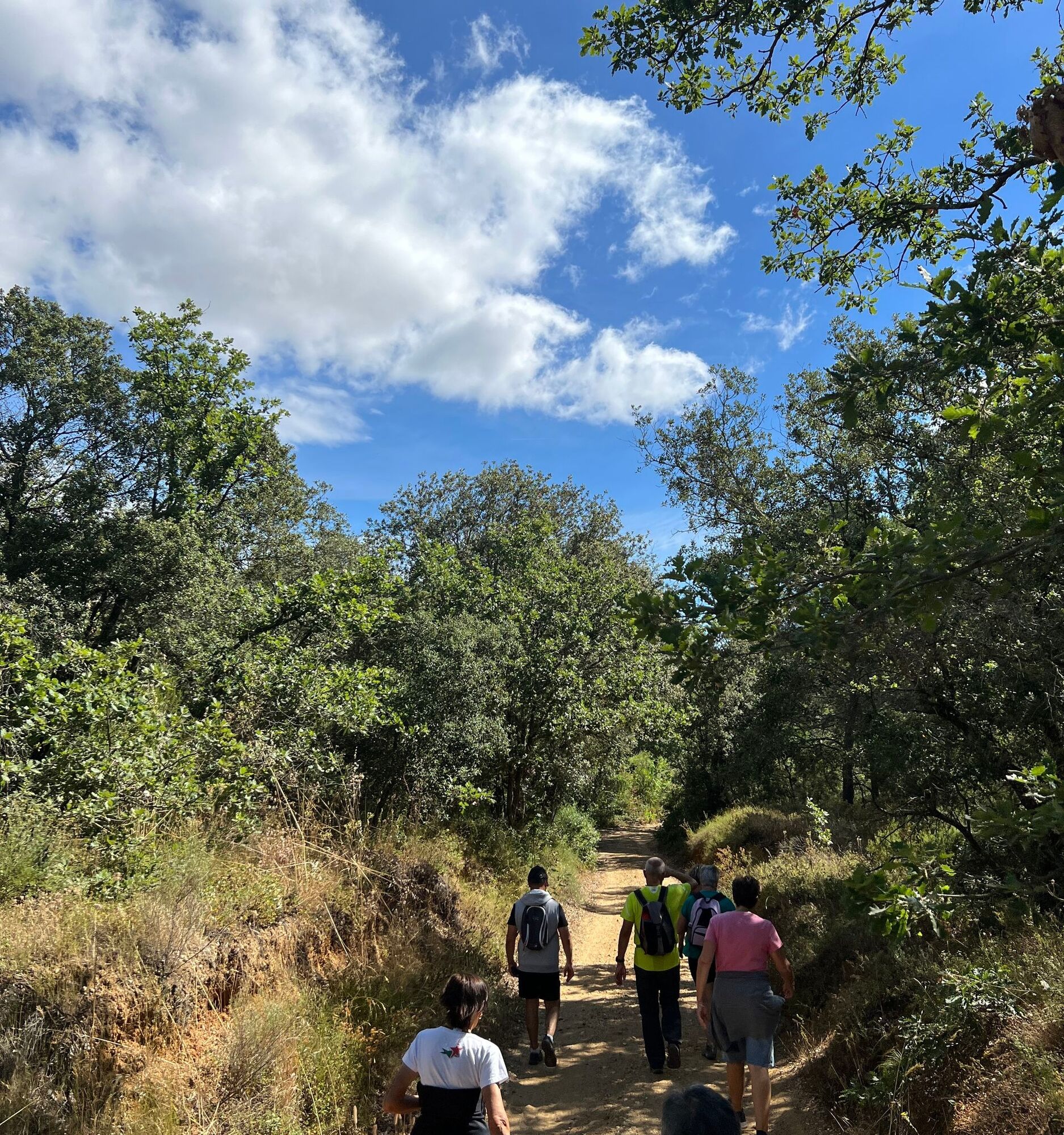
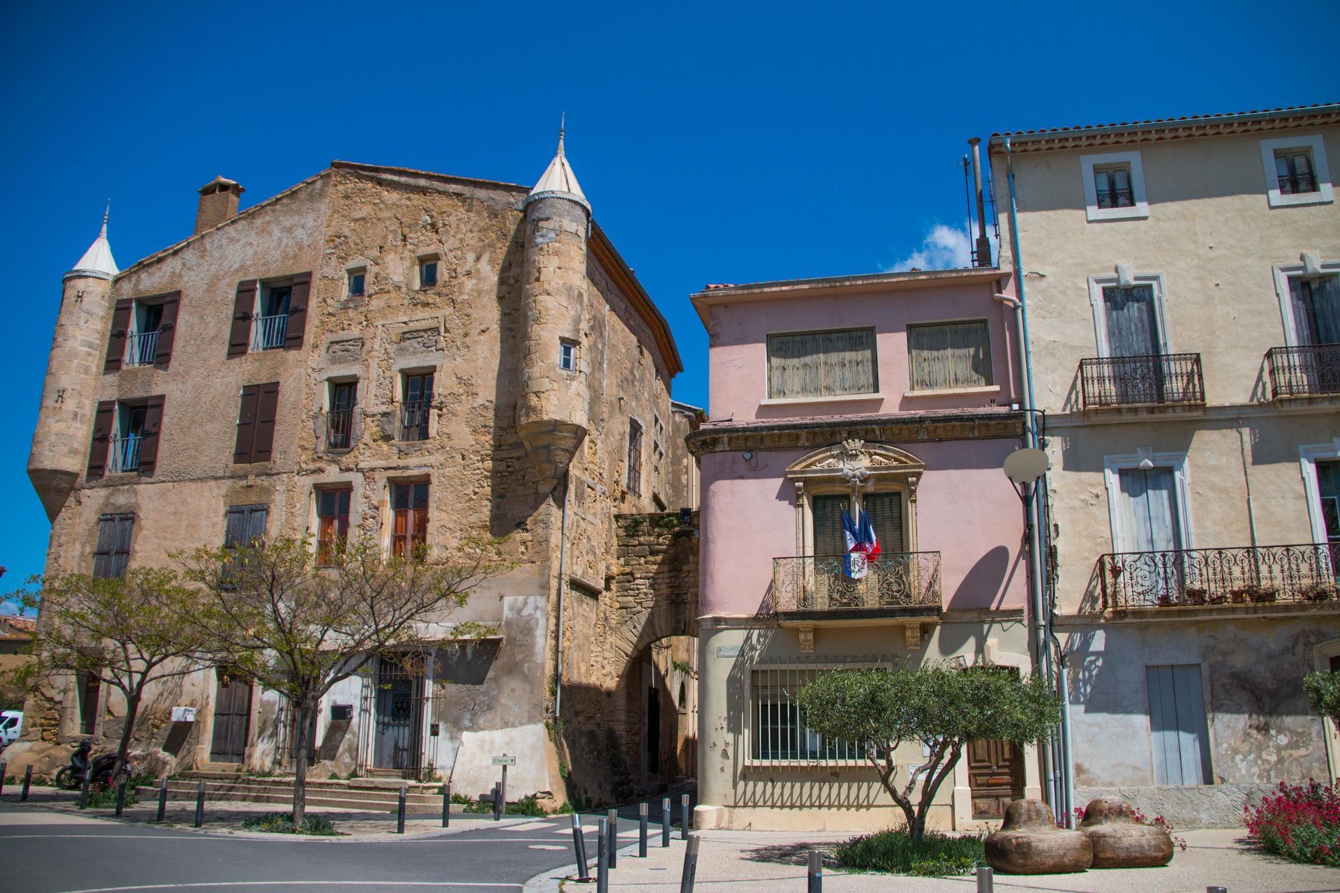
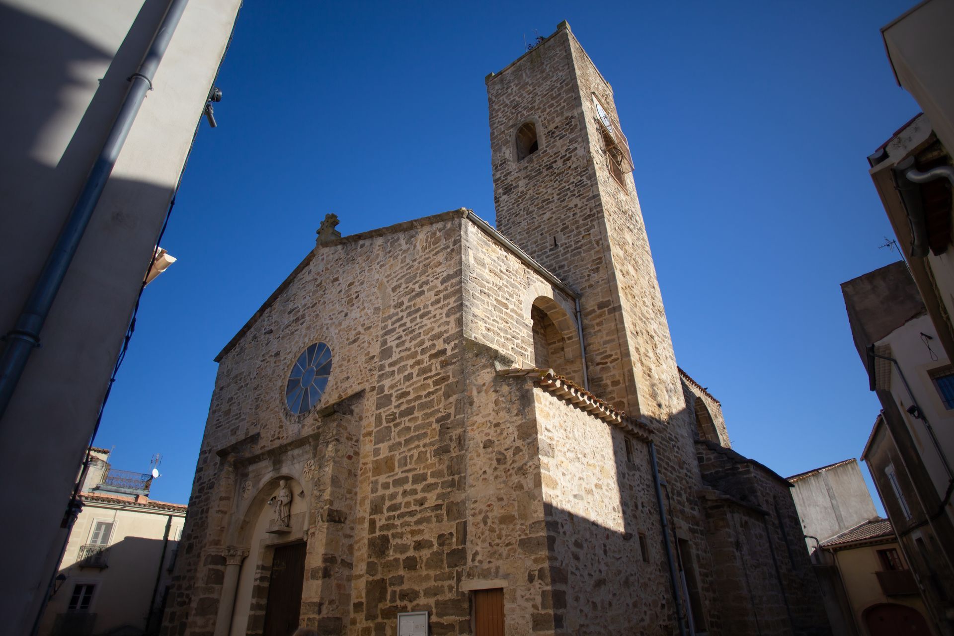
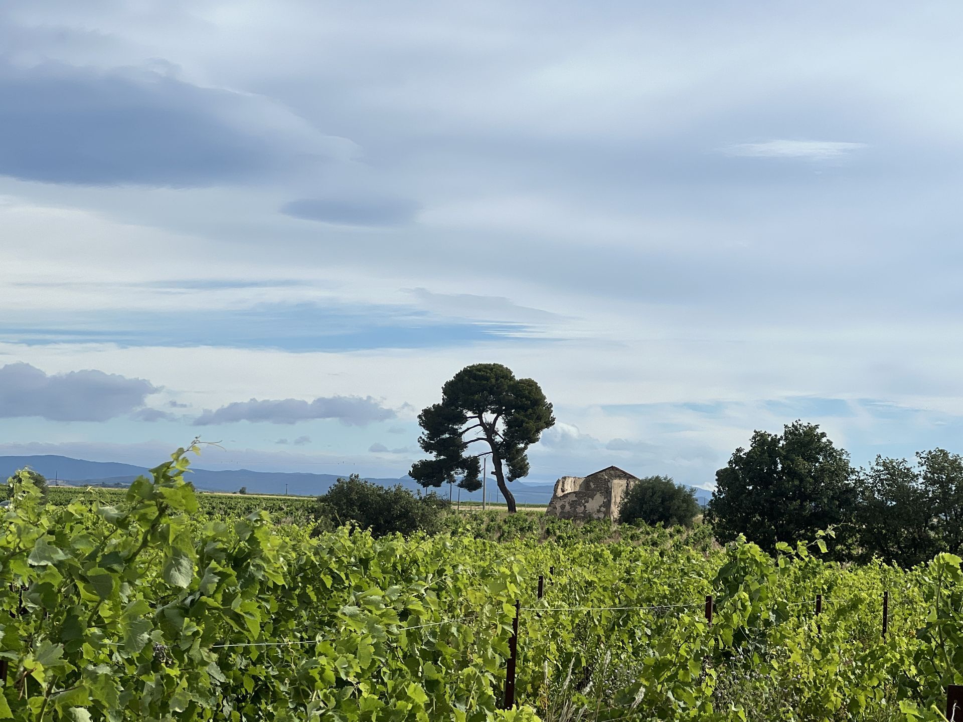
An easy hike close to Béziers. Along the trails, you will cross bucolic landscapes, between sunny vineyards with views of the Avants-Monts, side paths and shaded woods, until the heart of the village, with its church and castle, for a charming finish.
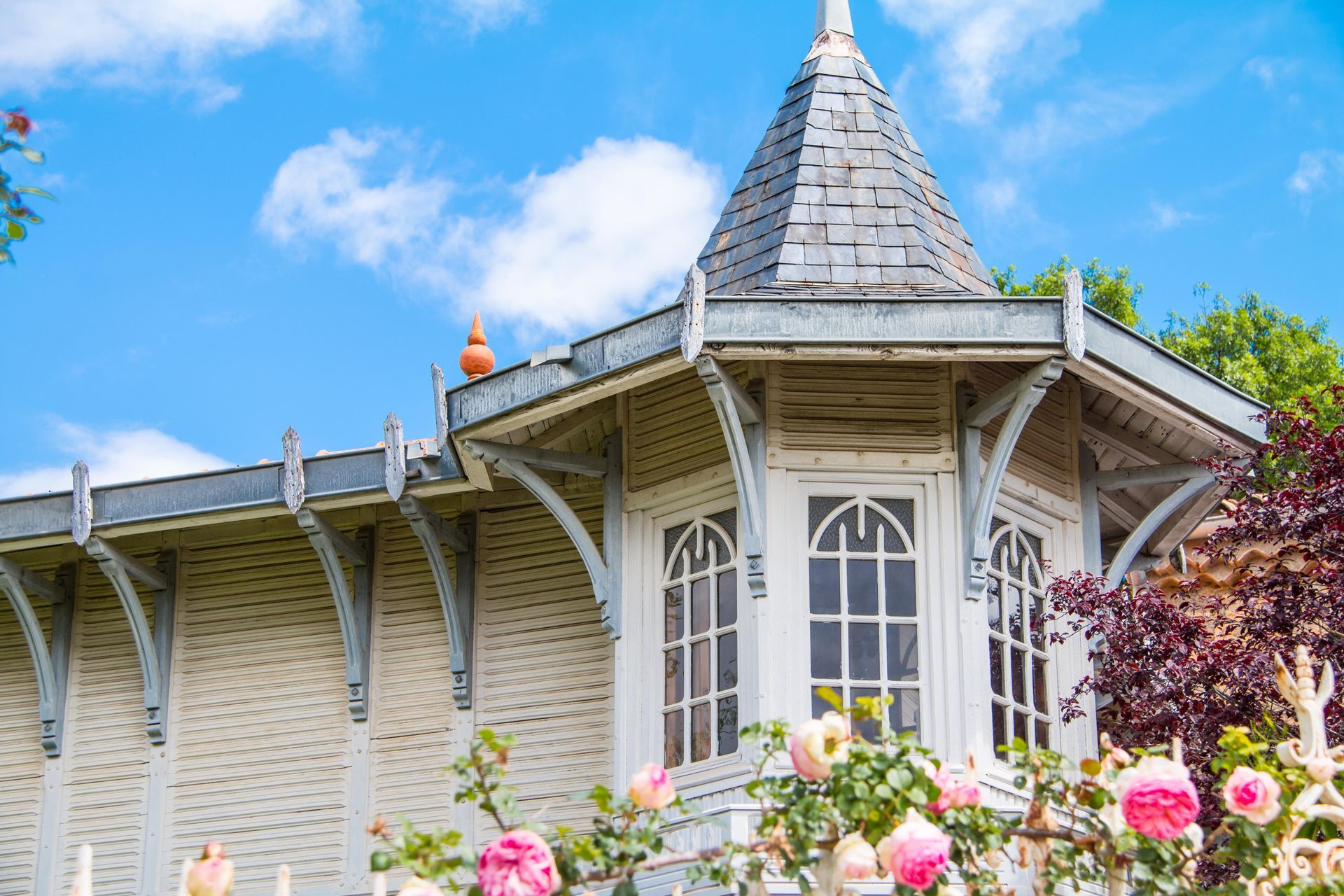
Imagine: the Bassan site has been occupied for... 7000 years! It has seen the Visigoths and Moors, the Crusaders against the Cathars. The inhabitants built ramparts to defend themselves, strolled among the pines and evergreen oaks of the Ribaute wood; prayers were said in front of its calvaries (about twenty); and the vine was cultivated again and again.
Welcome to a place steeped in history!



1
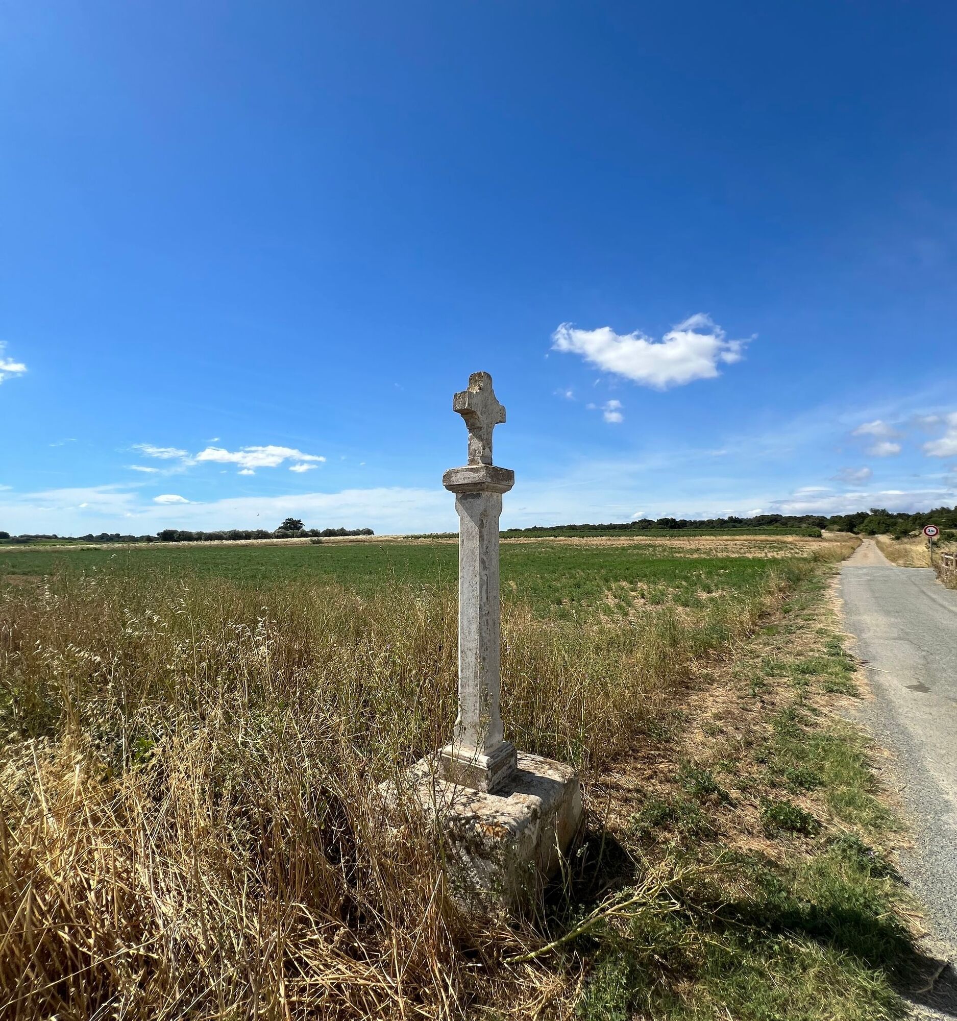
Start at the boulodrome. From the boulodrome parking lot, turn right onto Avenue de la Gare. At the end (panorama over central Hérault), continue right on Rue du Crès (D39E3) then turn left following the bike route signs. The path leads into the Bassan vineyard. At the intersection near a calvary, continue straight and reach a crossroads. Go left and climb the path passing under a high voltage power line, up to the junction.
2
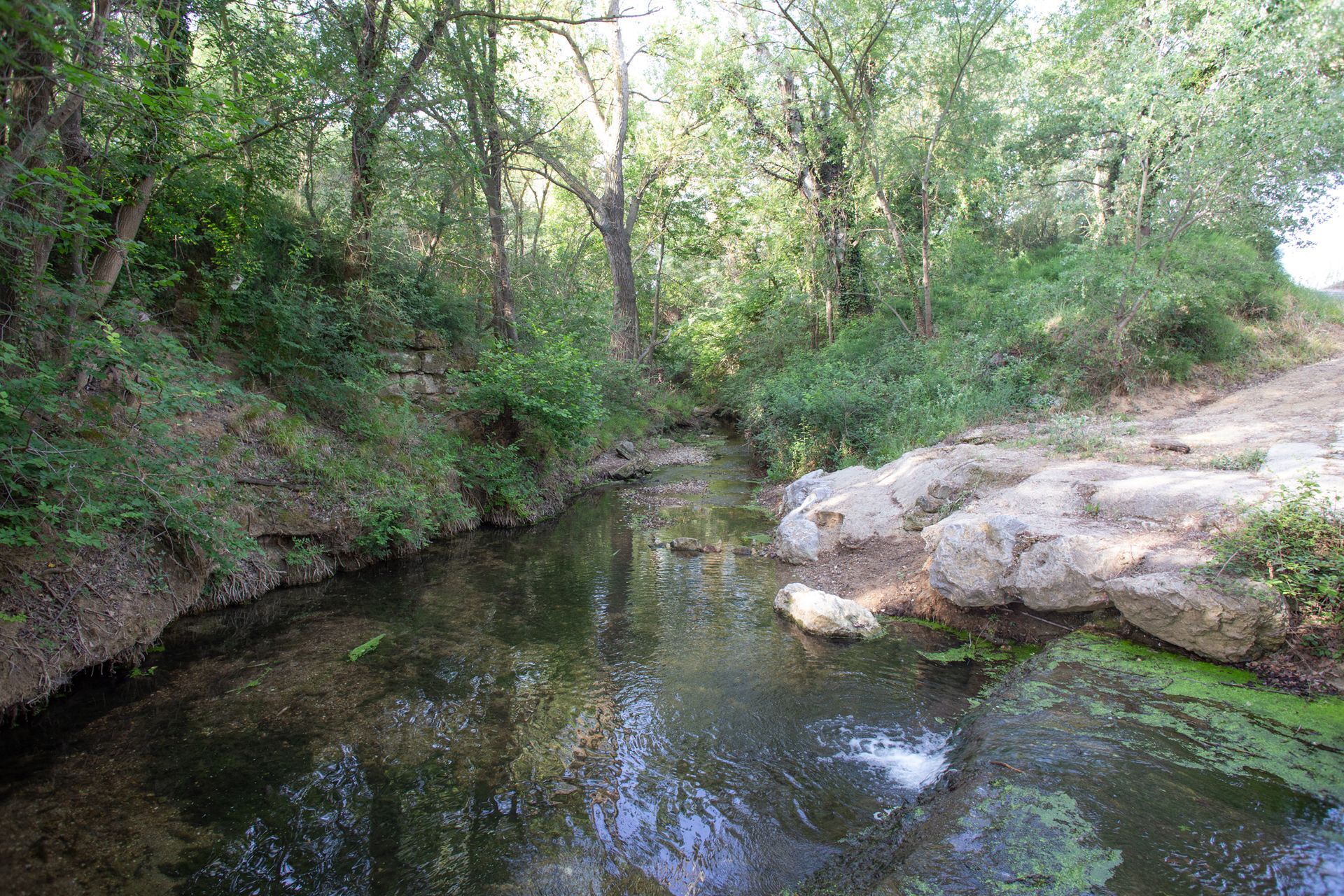
Junction under the high voltage line. Turn right. Stay on the main path for 650m ignoring side paths. At the fork, continue right then descend the path. Follow left the trail along the edge of the plot. At the end, descend the path continuing in the bed of the Ardaillou stream (Caution: path impassable during floods, do not disturb the environment). At the confluence, continue right along the bed of the Boute Sirvain stream. At the next crossing, climb left and reach a track.
3
Wide track. Go right on the wide track. Take it for 450m. At the crossroads, continue straight through the vineyard. Pass again under the high voltage line then turn right at the crossroads. Proceed 500m and cross the old railway by the bridge. Immediately turn left and descend the road into the woods. Reach a crossroads.
4
Road crossroads. Turn right onto the road. Follow the main road for 500m and at a ranch, continue left. Follow the vineyard by staying on the main route for 650m. At the T-junction, take the road on the right along the woods. Ignore a path departure to the right and continue straight on the path for 700m. Cross a ford and start climbing to the plateau and its crossing.
5
Crossroads of paths. Continue straight on the track, pass alongside a vineyard then descend right. Follow the path ascending towards Bassan. At the first houses, continue straight on the pedestrian path. Follow Avenue de la Garrigue to the town center.
6
Center of Bassan and return to start. Cross the road and turn right to cross another street towards Servian. Along the sidewalk, pass the bus shelter and continue straight. Cross another street again to continue straight into the old town towards the church on Rue du Portalet. At the church, turn right under the arch to reach the promenade. Pass the Musée des Meubles Modestes on the left. Cross Rue de la Poste at the pedestrian crossing and along the sidewalk pass Jacques Villeneuve square, pass the Tourist Office, shops and the town hall then descend the stairs. Cross D39, turn left then right onto Avenue de la Gare. Continue straight for 500m to return to the parking lot.
Respect the work of the winegrowers, do not pick grapes. Stay on marked trails. Follow the signage carefully. Plan an adequate water supply and protect yourself from the sun. Wear hiking shoes suitable for the hike. Respect the natural environment, private properties, when crossing pastures, close gates properly. During hunting season, remain vigilant and respect signs indicating ongoing hunts: for any information, contact FDC34: 04 67 42 41 55, http://fdc34.com/
Yellow PR
+33 4 99 41 36 36
Béziers Méditerranée Tourist Office - Bassan reception
PR - FFR
Popularne wycieczki w okolicy
-
5,0
PECH BELET HIKE
światłoWędrówka 4,41 km -
OENORANDO® THE HILLS OF ENSÉRUNE
światłoWędrówka 8,08 km -
LA GRANDE MAÏRE HIKE
światłoWędrówka 11,2 km -
MOUNTAIN BIKE CIRCUIT 21: LE GRAND SALAN - ESPACE VTT/GRAVEL CAP D'AGDE MÉDITERRANÉE
światłoMountainbike 19,5 km -
OENORANDO® BETWEEN THE CANAL DU MIDI AND THE VINEYARDS
średniWędrówka 10,2 km -
OENORANDO® OF THE BALCONS D’ALIGNAN DU VENT
średniWędrówka 12,7 km -
HIKING OF THE PASEJADE DEL CRES
średniWędrówka 14,2 km -
HIKING BETWEEN CANAL DU MIDI AND BEZIERS
światłoWędrówka 7,81 km -
CIRCUIT TABARKA ISLAND – BÉZIERS MÉDITERRANÉE VTT-FFC AREA
średniMountainbike 17,2 km -
HIKE TO DISCOVER THE WILD ORCHID
światłoWędrówka 2,61 km
Wędrówki i tropienie


Nie przegap ofert i inspiracji na następne wakacje
Twój adres e-mail została dodana do listy mailingowej.





