







THE TAMARISSIERE HIKE IN THE SHADE OF THE PINES
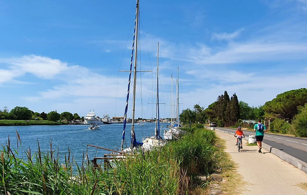
Situated on the right bank of the Hérault river, La Tamarissière resembles a peaceful seaside village.It owes its name to the Tamarisk trees planted at the end of the 18th century to combat silting at...
Situated on the right bank of the Hérault river, La Tamarissière resembles a peaceful seaside village.
It owes its name to the Tamarisk trees planted at the end of the 18th century to combat silting at the mouth of the Hérault.
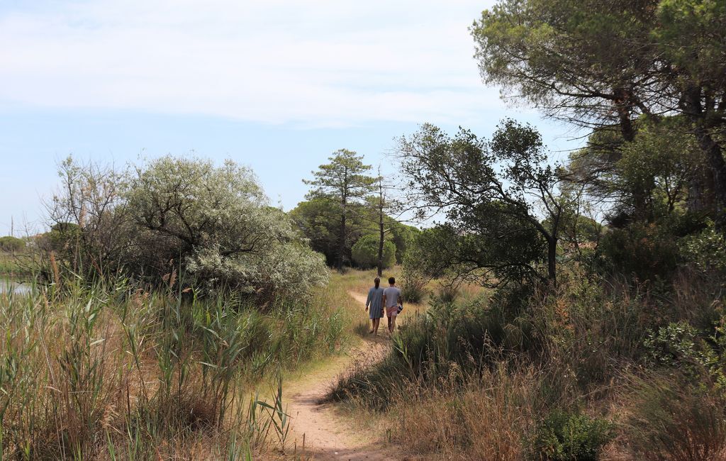
Surrounded by beaches, a vast pine forest and the Verdisses nature reserve, discover the wilderness at the gateway to the Mediterranean Sea.
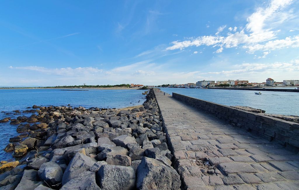
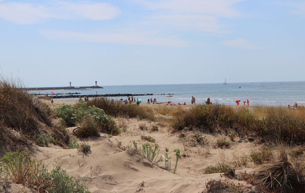
From the basalt stones of the jetty, to the sandy paths of the dunes, to the damp ground amid lush vegetation, take a stroll in this setting of contrasts.


1
Starting point: beach parking lot. Park your car in the shade of the plane trees and walk out towards the banks of the Hérault river to start the walk.
2
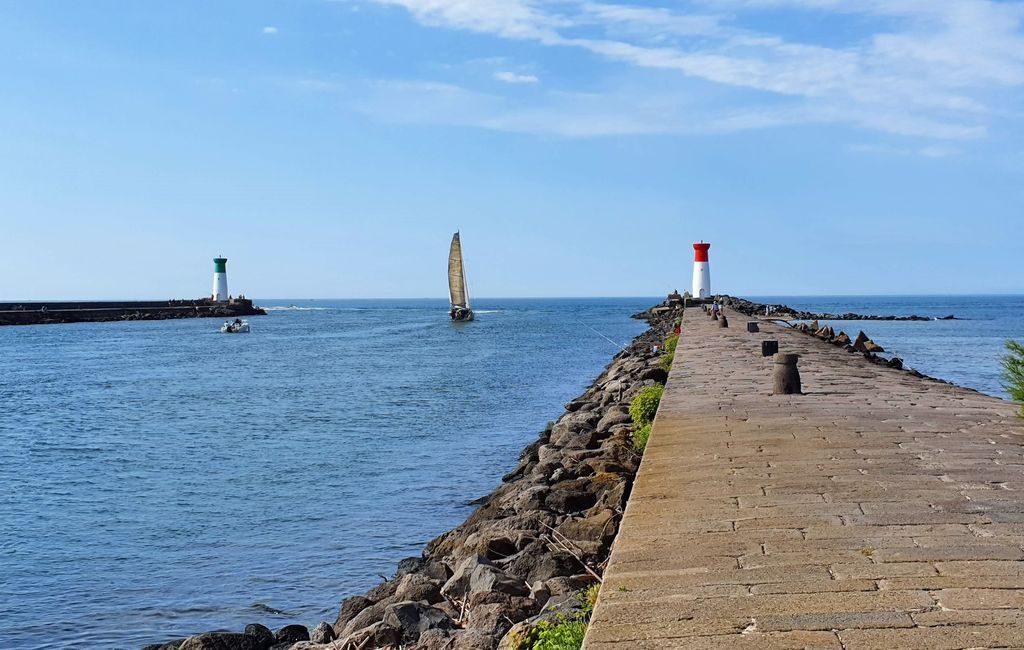
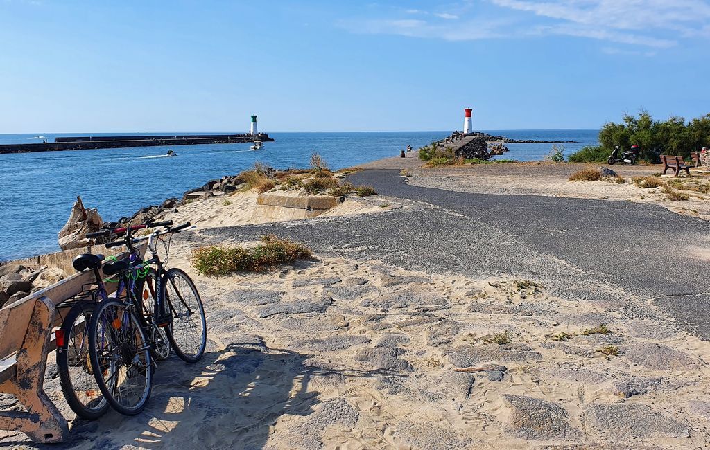
Lighthouse at the mouth of the Hérault river. Take the jetty up to the lighthouse, where the Hérault River flows into the Mediterranean Sea after 150 km, from its source at Mont Aigoual (Gard) at an altitude of 1,567 metres. It's not uncommon to come across trawlers leaving or returning from Mediterranean fishing trips, whose home port is on the other bank, at Grau d'Agde.
3
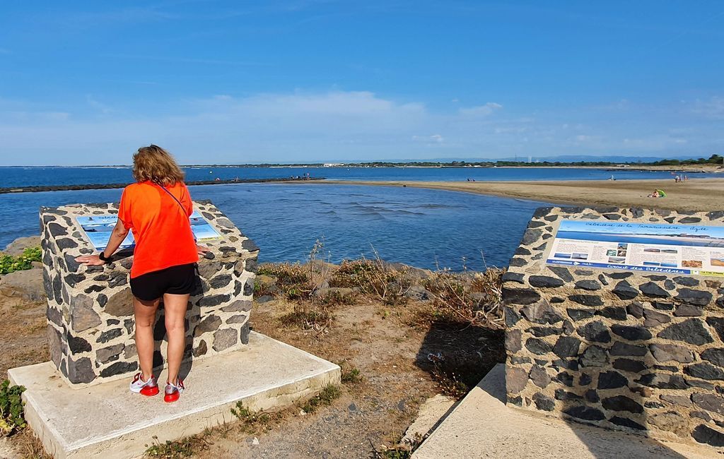
Belvédère de la Tamarissière. Enjoy a panoramic view of the Languedoc coastline, where sandy beaches meet the foothills of the Pyrenees in the distance.
4
Beaches and sand dunes Sand dunes play an essential role in protecting the coastline. By retaining sand, they encourage the establishment of vegetation that consolidates them and protects them from erosion. This fragile environment is home to many living species, which is why we ask you not to leave the paths, which are often surrounded by ganivelles.
5
Bunker 638 The entrance is on the pine forest side, or on the campsite side in summer. A testimony to the Second World War, this bunker-infirmary was part of a line of defense built by the Germans to counter a possible landing. It is a veritable field hospital, dedicated to the treatment and care of wounded soldiers. Visits are organized all year round on Saturday mornings. For further information. https://www.capdagde.com/tourisme/patrimoine-culturel/bunkers-638-et-610
6
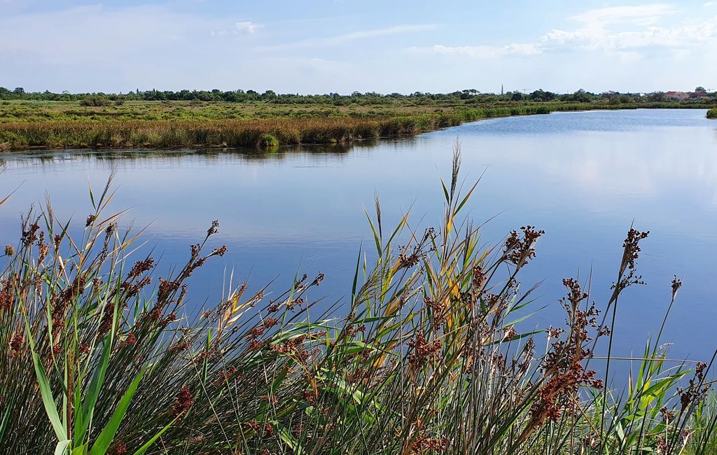
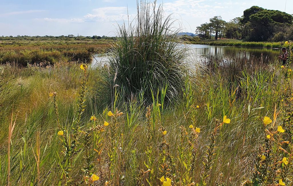
Les Verdisses natural area Les Verdisses is a 600-hectare natural site. A veritable green lung, it is rich in natural and plant species. You may be lucky enough to spot the Cistude d'Europe, a small freshwater turtle, or the European Bee-eater, a small bird of remarkable color, which have always lived here. This wet plain is also home to an exceptional hydraulic system, thanks to the presence of numerous roubines and artesian wells.
7
Directional: at the small bridge over the Ardaillou stream, turn around and retrace your steps.
8
Directional: at the entrance to the pine forest and campsite, take the path on the left, skirting the marshes.
9
Directional: when you reach the road, cross carefully to the right and follow the banks of the Hérault along the path, then return to the beach parking lot.
In case of emergency, call 112.
Bring appropriate footwear, water bottle, hat or cap. Respect the environment.
+33 4 67 01 04 04
Cap d'Agde Méditerranée Tourist Office
Popularne wycieczki w okolicy
-
5,0
HIKING MOUNT ST-LOUP, AN ANCIENT VOLCANO
światłoWędrówka 9,11 km -
4,0
LE BELVEDERE VOLCANIC CLIFF HIKE
światłoWędrówka 7,12 km -
MOUNTAIN BIKE CIRCUIT 21: LE GRAND SALAN - ESPACE VTT/GRAVEL CAP D'AGDE MÉDITERRANÉE
światłoMountainbike 19,5 km -
LA GRANDE MAÏRE HIKE
światłoWędrówka 11,2 km -
CIRCUIT VTT 23: GRANDE BOUCLE D'AGDE - ESPACE VTT/GRAVEL CAP D'AGDE MÉDITERRANÉE
światłoMountainbike 25,0 km -
HIKING THE DOMAINE DE MARAVAL
światłoWędrówka 7,52 km -
OENORANDO® BETWEEN THE CANAL DU MIDI AND THE VINEYARDS
średniWędrówka 10,2 km -
5,0
HIKING THE ORPELLIÈRES, TREASURES OF NATURE
światłoWędrówka 4,13 km -
HIKING OF THE PASEJADE DEL CRES
średniWędrówka 14,2 km -
CYCLO LOOP N°24 - AGDE, FRESH AND SALT WATER
światłoJazda na rowerze 32,7 km

Wędrówki i tropienie


Nie przegap ofert i inspiracji na następne wakacje
Twój adres e-mail została dodana do listy mailingowej.





