







CYCLO LOOP N°24 - AGDE, FRESH AND SALT WATER

Poziom trudności: 1
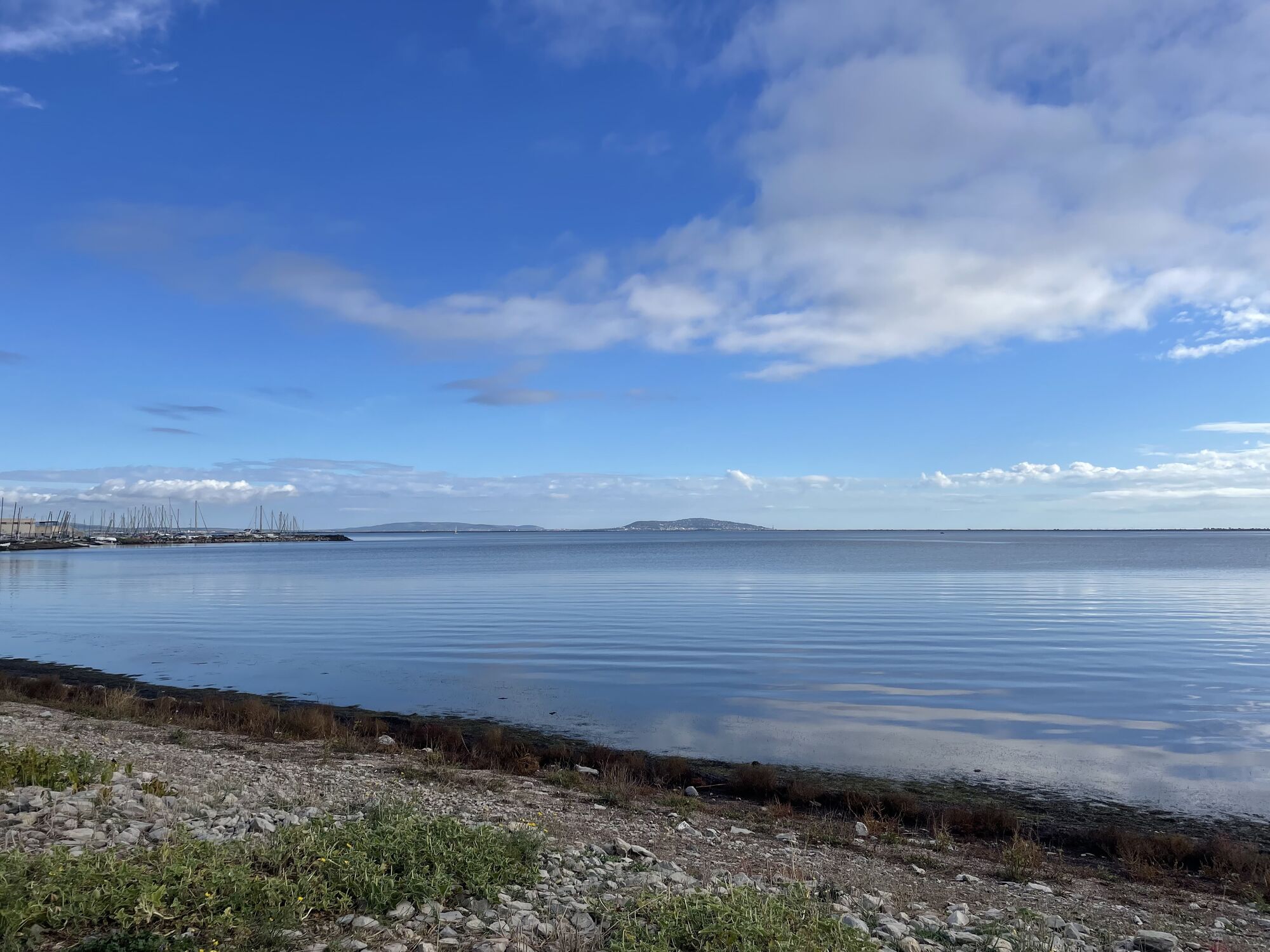
Here's a loop that will let you appreciate the diversity of the Agde region, as you carve out the best route through Grau d'Agde, Cap d'Agde and Marseillan. You'll ride between fresh and salt water, from...
Here's a loop that will let you appreciate the diversity of the Agde region, as you carve out the best route through Grau d'Agde, Cap d'Agde and Marseillan. You'll ride between fresh and salt water, from the Etang de Thau to the Canal du Midi, from the banks of the Hérault to the Cap d'Agde marina. The wealth of human and natural heritage will surprise you along the way: the vineyards of Marseillan, the historic buildings of the Round Lock, Agde Cathedral or Villa Laurens, the hustle and bustle of the fish market, the activity of migratory birds in the Bagnas reserve, the Onglous lighthouse...


1
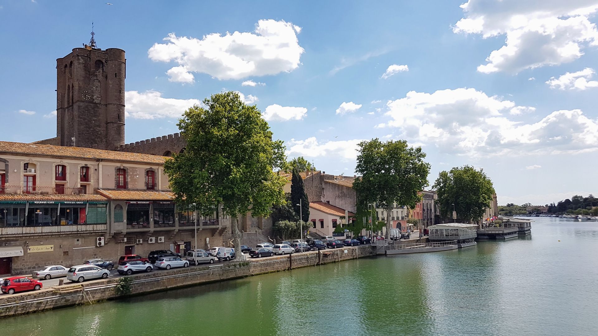
Departure from Agde train station. You reach the banks of the Canal du Midi and are invited to make a short round trip to the round lock before stopping to visit the singular Villa Laurens. On the way back, cross the Pont des Maréchaux over the Hérault, walk along the river and admire Saint-Etienne Cathedral.
2
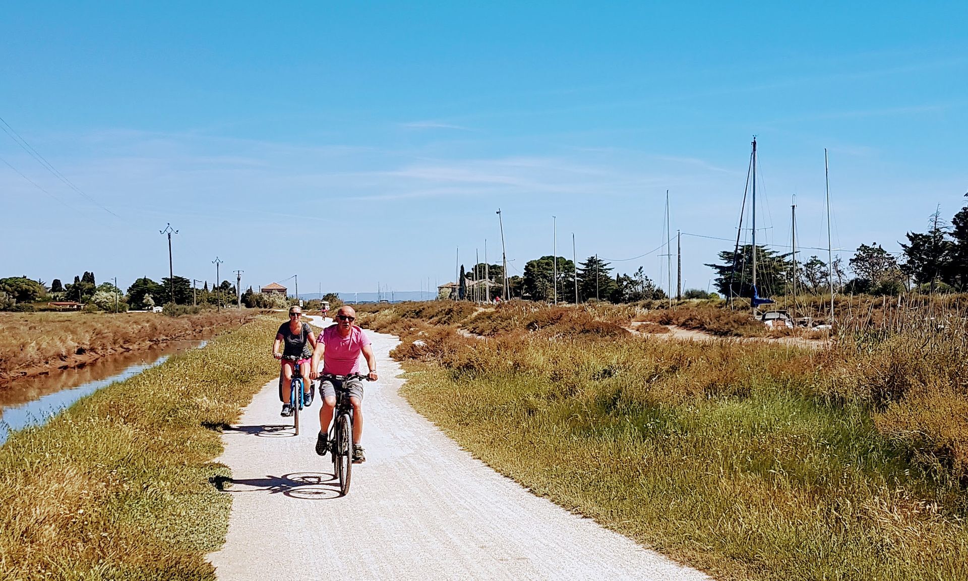
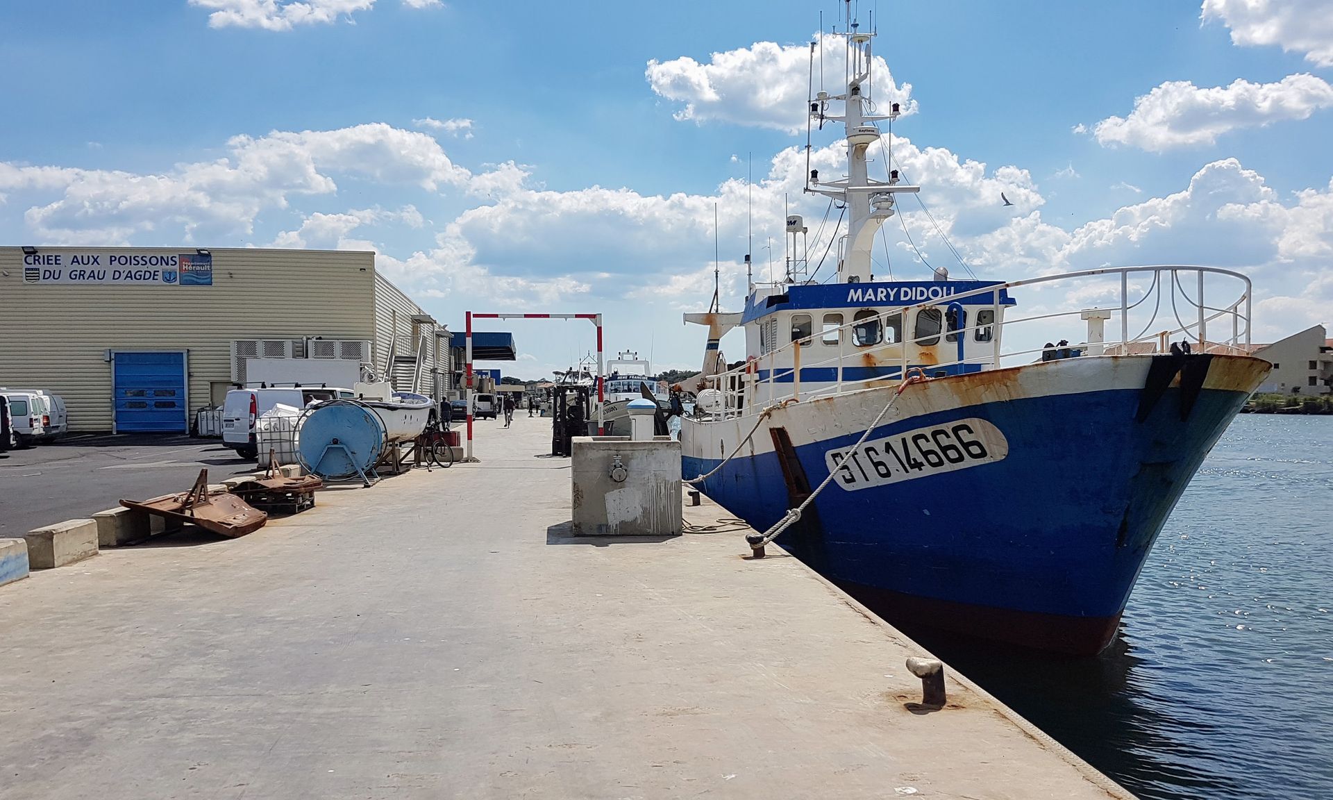
You then gradually leave Agde to the south, skirting the beautiful banks of the Hérault on a track for around 3 km, until you reach the fish auction. Here, you can watch the fleets of boats returning from fishing.
3
Retrace your steps a little and take the Chemin de l'Agenouillade track, perpendicular to the river. A few hundred metres further on, you'll come to a wooded area, home to the Notre-Dame de l'Agenouillade chapel. This little chapel, built of basalt stone in 1653, is surprisingly sober. You then continue on to the slopes to reach Cap d'Agde and its marina.
4
You pass through the area of the new Palais des Congrès and more generally the urban zone, still on tracks. Mont Saint-Loup towers above you on your left.
5
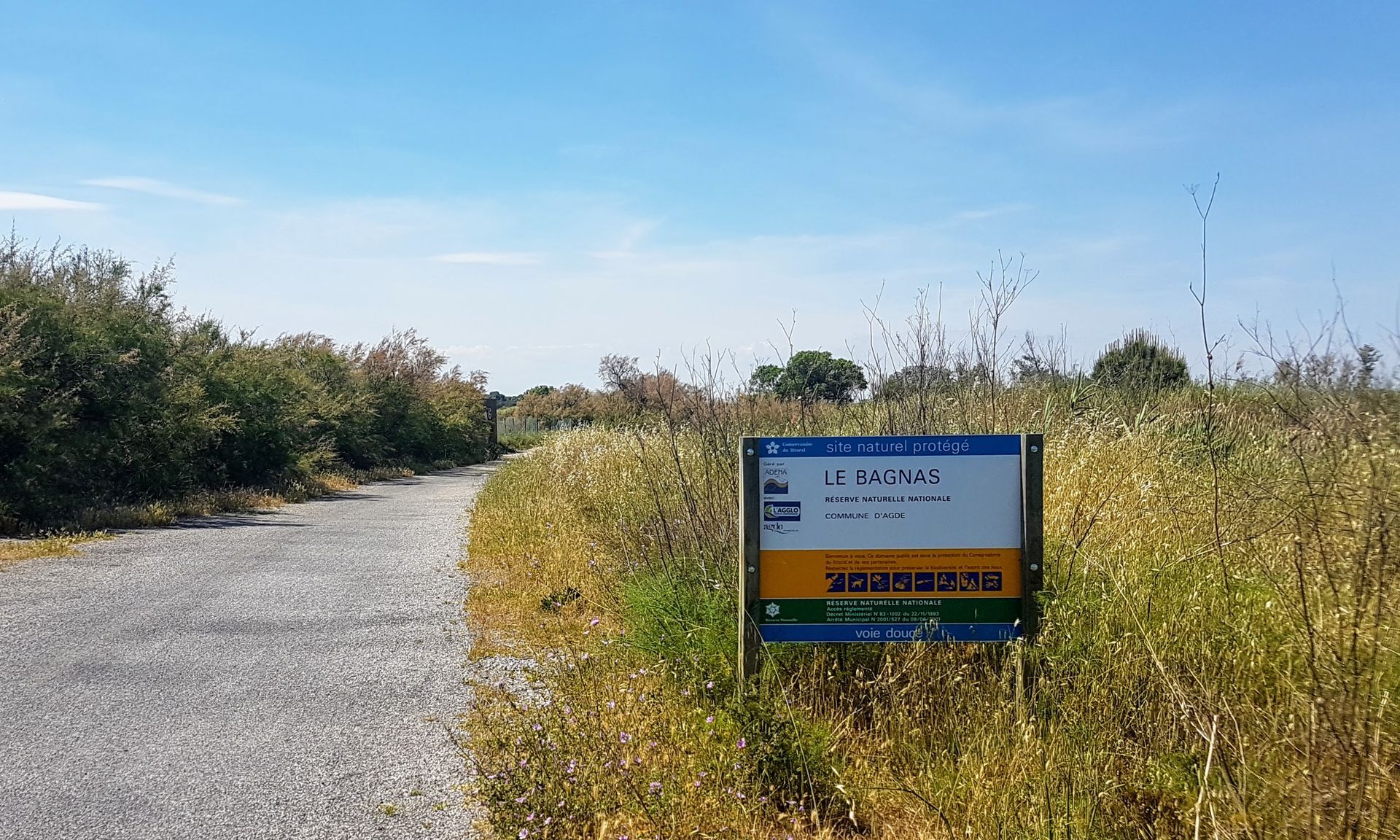
Gradually leave Cap d'Agde and turn left onto Avenue du Bagnas, to take a path through the natural area of the same name. At the end of the path, you join the track that runs alongside the D612, taking you back 3 km to Marseillan-Plage.
6
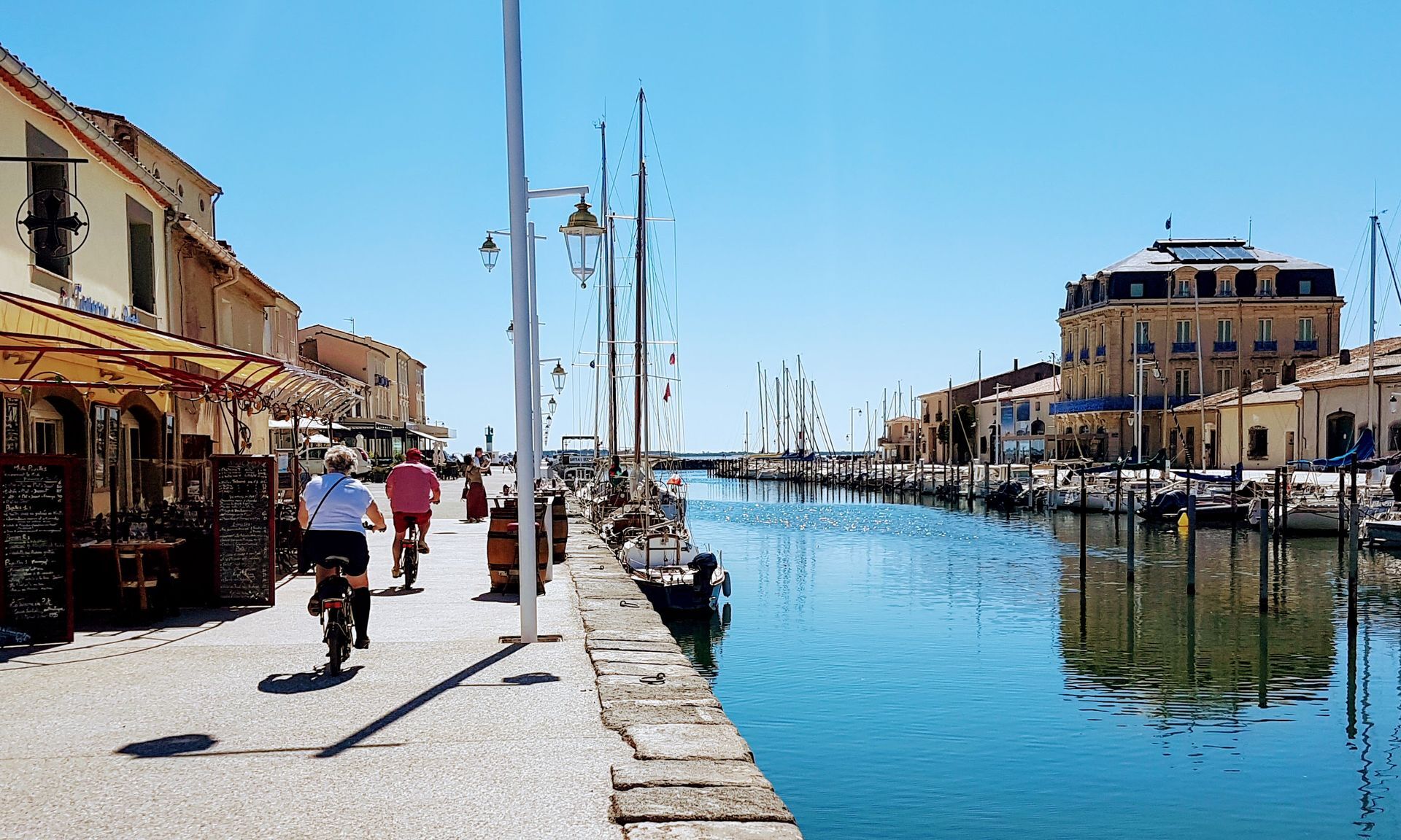
After passing by the Caves Richemer, head back up the cycle path towards Marseillan-ville to cross the Canal du Midi after 1 km, then continue for another 2-3 km to arrive at the pointe des Onglous. Here, you can watch the boats finishing their journey on the Canal du Midi and Mont Saint-Clair, which stands out in the background behind the lighthouse. With this beautiful view, you follow the lagoon all the way to Marseillan. Once in town, enjoy the tranquility of the area, the magnificent fishing port and the old Phocaean town.
7
Leave Marseillan and at the traffic circle where you can take the Bessan or Agde roads, choose the 3rd lane, a very pleasant, straight road that will take you through vineyards and olive groves to the Canal du Midi, 5 km further on.
8
Once you've crossed the canal, fork right and follow it along a well-maintained path. Be VERY CAREFUL when crossing the D51, before continuing along the banks of the canal. You'll pass a lock and a guinguette, then return to the banks of the Hérault on a lovely shady path before returning to the station.
Agde
Agde
1
This discovery bike tour is truly open to all, with most of the roads free of car traffic and few difficulties, except perhaps the distance for the youngest riders.
Hérault à Vélo" road signs
+33 4 67 67 71 71
Hérault Tourisme
Hérault Vélo
Popularne wycieczki w okolicy
-
5,0
HIKING MOUNT ST-LOUP, AN ANCIENT VOLCANO
światłoWędrówka 9,11 km -
5,0
SAINT ANTOINE HERMITAGE HIKE
światłoWędrówka 9,91 km -
4,0
LE BELVEDERE VOLCANIC CLIFF HIKE
światłoWędrówka 7,12 km -
CIRCUIT VTT 23: GRANDE BOUCLE D'AGDE - ESPACE VTT/GRAVEL CAP D'AGDE MÉDITERRANÉE
światłoMountainbike 25,0 km -
HIKING THE DOMAINE DE MARAVAL
światłoWędrówka 7,52 km -
THE TAMARISSIERE HIKE IN THE SHADE OF THE PINES
światłoWędrówka 5,32 km -
HIKE THE TOUR OF THE VERDISSES
średniWędrówka 12,3 km -
CIRCUIT VTT 19: DE LA CAVE AU MOULIN - ESPACE VTT/GRAVEL CAP D'AGDE MÉDITERRANÉE
światłoMountainbike 23,5 km -
VIA DOMITIA HIKE
światłoWędrówka 4,95 km -
WALK ALONG THE BANKS OF THE HERAULT FROM AGDE TO GRAU D'AGDE
światłoWędrówka 11,6 km
Wędrówki i tropienie


Nie przegap ofert i inspiracji na następne wakacje
Twój adres e-mail została dodana do listy mailingowej.





