







OENORANDO® LES DRAILLES DES CROZES
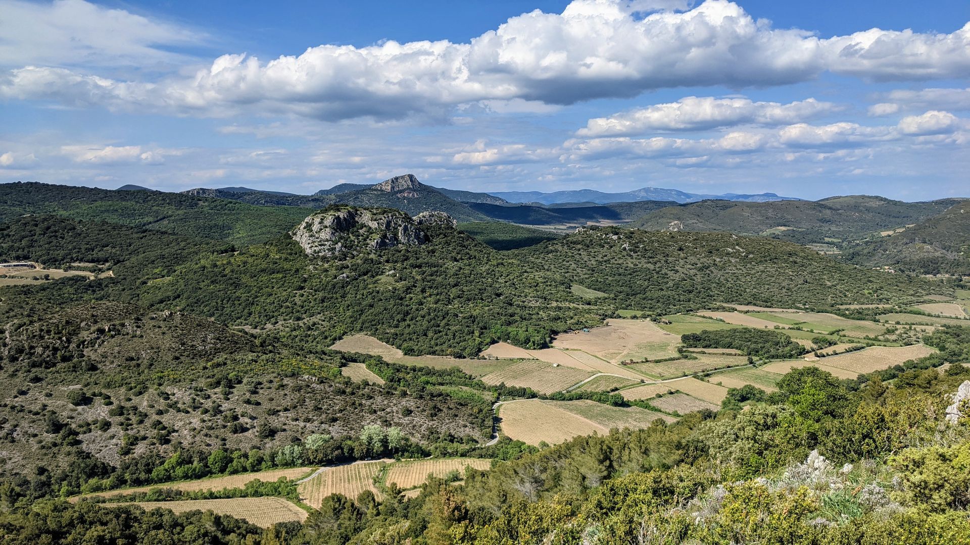
In the heart of a classified site, rich in natural, geological and scenic discoveries, the trail crosses the entire vineyard and lets you imagine the medieval past of Cabrières. During this hike, you can...
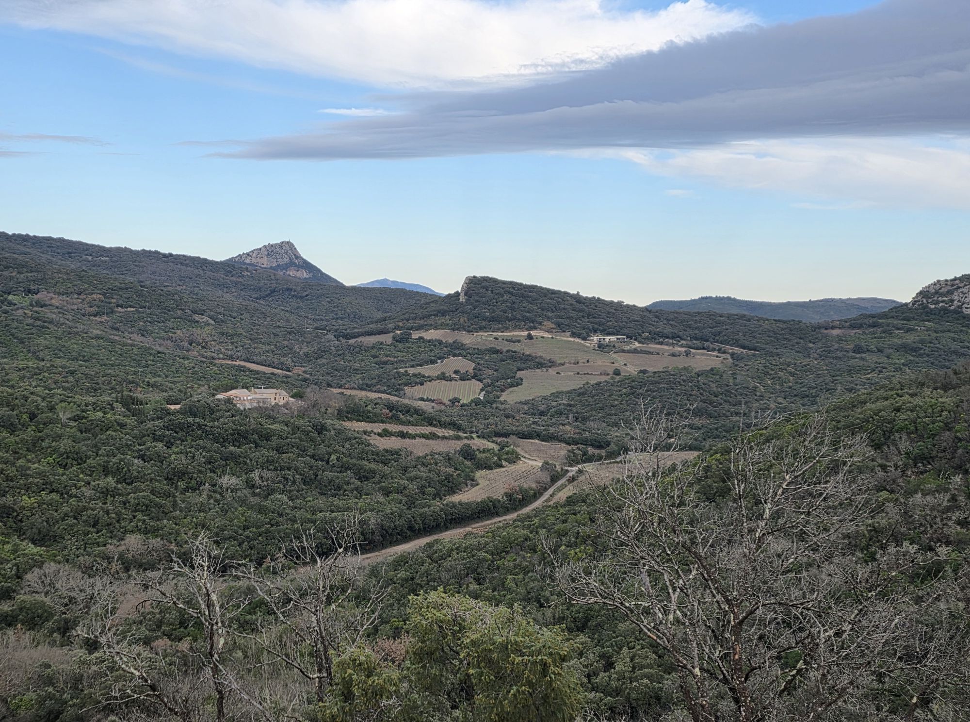
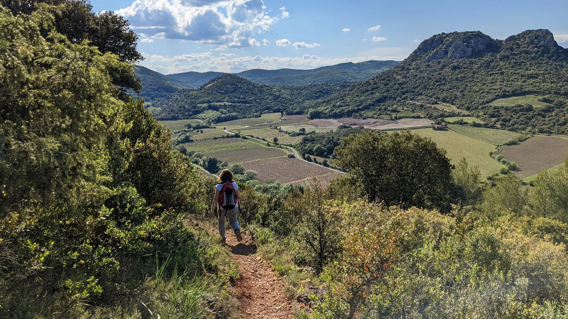
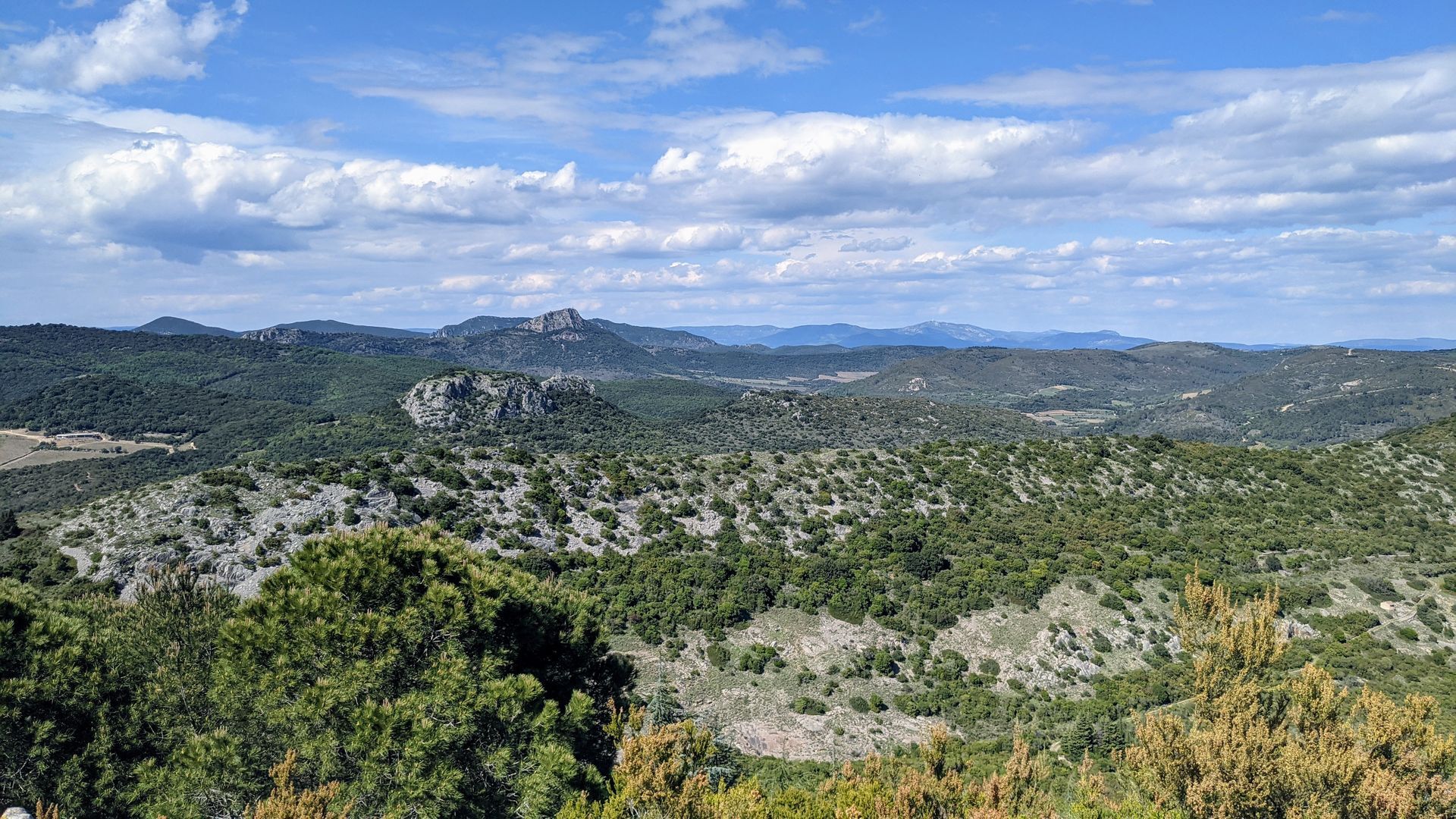
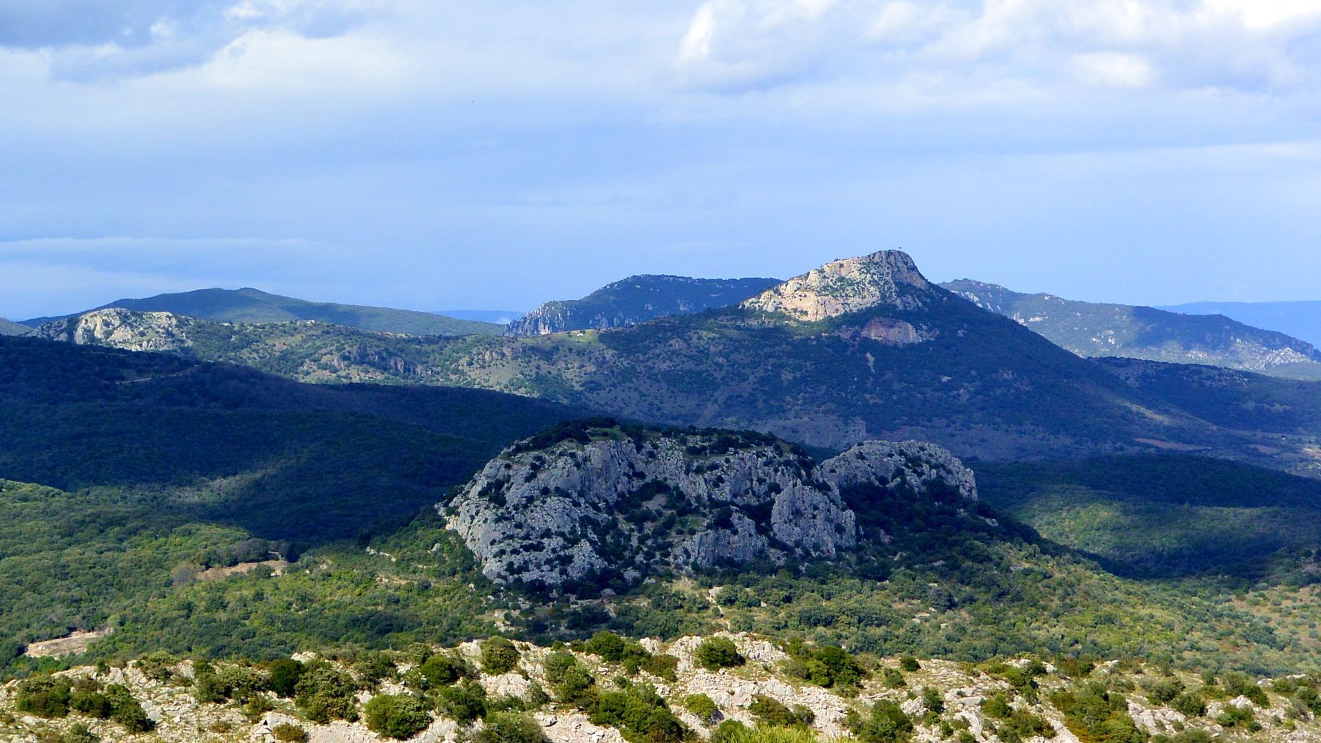
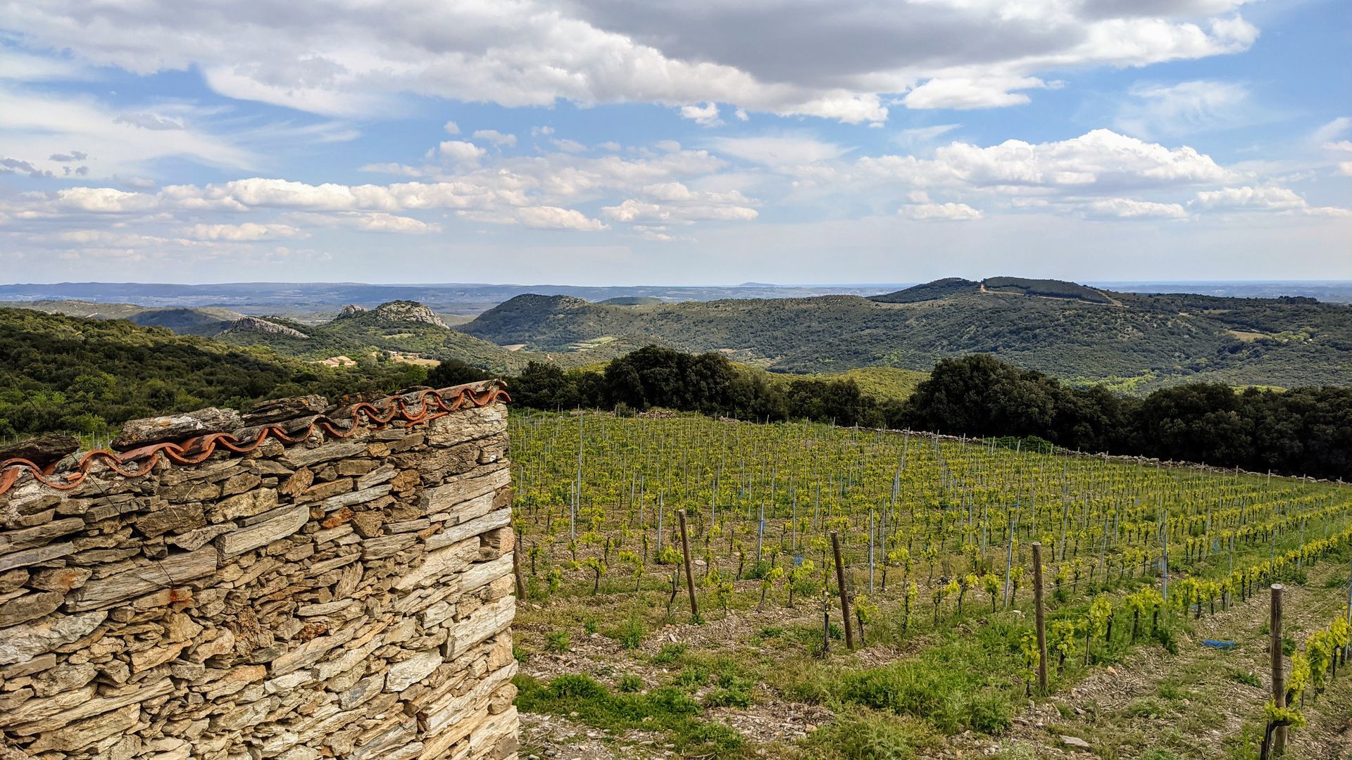
In the heart of a classified site, rich in natural, geological and scenic discoveries, the trail crosses the entire vineyard and lets you imagine the medieval past of Cabrières. During this hike, you can discover the remains of its old village at the foot of the castle, the hamlet of Crozes, the Tiberet mills and the ancient paths, “drailles” in Occitan.


1
From the parking lot, take the D 15 towards Clermont-l’Hérault, pass the town hall and turn left onto the D 124E4 towards the Crozes. Walk a few meters and immediately ignore the right turn into rue du Chemin Vieux (separation from PR circuit “Les crêtes de Vissou”).
2
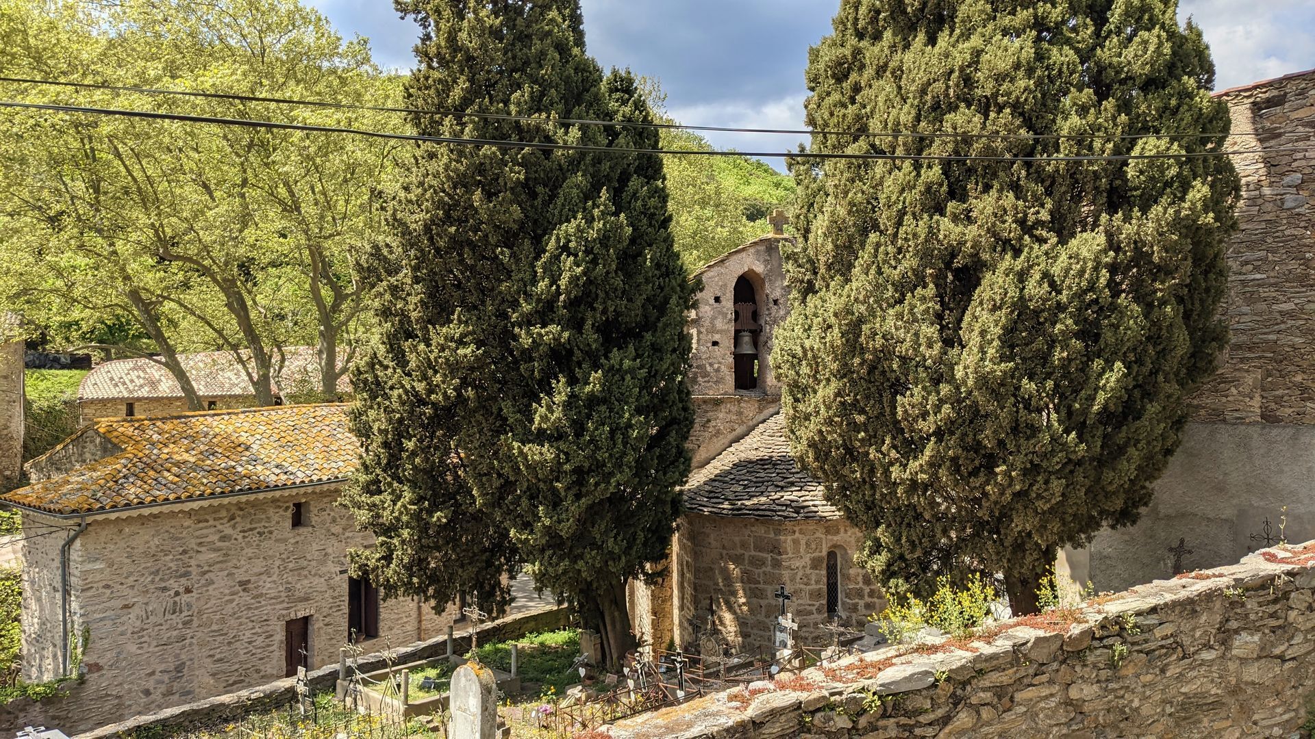
Climb towards the church. At the fountain, go left still towards Crozes. Pass the cemetery and advance about 100 m. Take the left path to the Château road. Cross a ford and shortly after leave the track by a path on the left, ignoring the wide track.
3
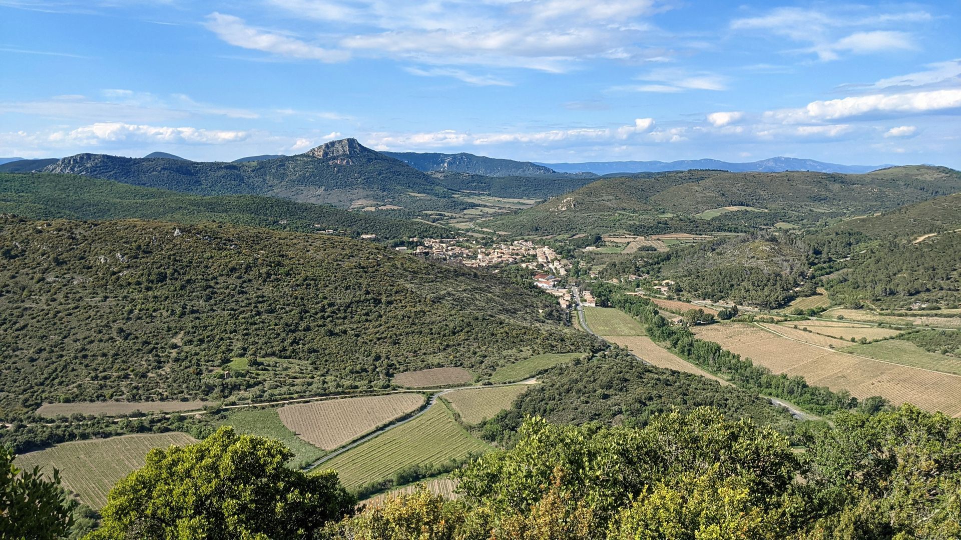
The path rises above the vineyard on the edge of the woods. At a stream, take the left path between dry stone walls. It rejoins higher the path previously left. At the end of the ascent, climb left by a fitted path (steps) and reach the Col de la Cisterne. > Access to the castle summit platform 293 m alt. (20 min round trip): stay on the path (caution do not approach cliff edges) viewpoint on Pic Vissou, the village of Cabrières and, to the south, on Soureillé d’Izarne and the Pitrous valley.
4
Descend the castle’s south face, pass the old well. The stony path skirts the first ruins. Cross the old village by a straight path, the main street (do not enter the ruins). Continue on a balcony path over the Pitrous valley (view over the vineyard). Cross heathland and, shortly before a well-marked pass, descend left under the track. About 150 m further, join the main track and opposite, continue the descent to the “Norbert gardens”.
5
Leave the departure of the PR “Balade Médiévale” to the left and continue on the track for 150 m.
6
> Info: to the left, departure of the short variant (11 km - 3h30). Continue to the road. Go right, then immediately left. Climb towards Château des Deux Rocs. Pass Mas Rouch. Leave the road to the right and immediately climb left on an old draille to a crossroads after a vineyard.
7
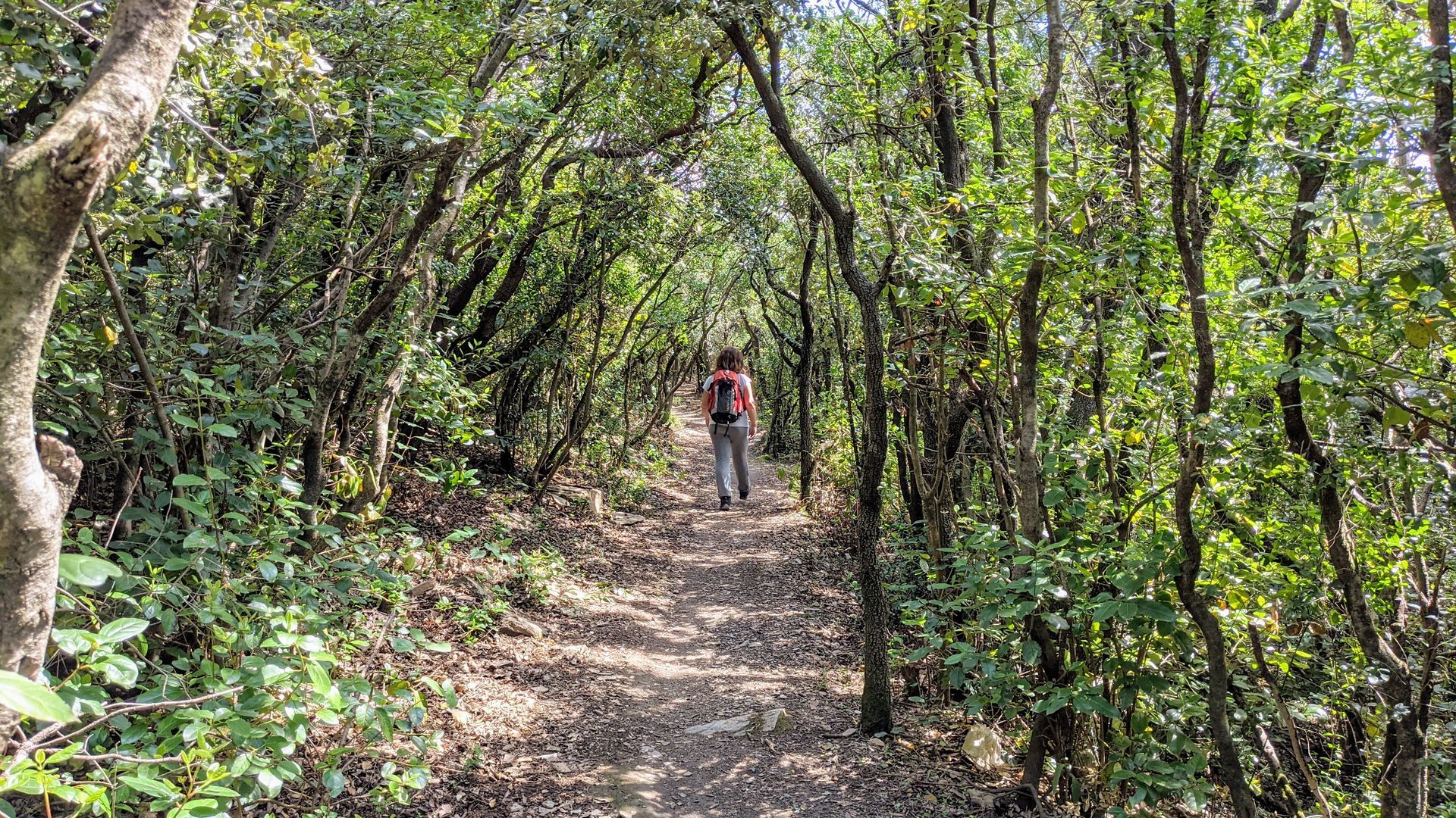
Walk 200 m on the left track. Leave it to descend left on a draille through undergrowth. Cross the track and continue straight to reach the hamlet of Crozes. By rue du Four, reach the square. Opposite, cross the stream and by rue des Caussines climb to the track. Follow it left for 150 m, then climb right on a draille crossing the track twice. Emerge onto the track, head straight towards the vineyards of Puech Cam (view on Mas Rouch and the Château hillock, Mount Saint-Clair in Sète in the background).
8
Further on, head left and walk in the undergrowth (charcoal burners) for 2 km. Reach a crossroads at a pass (pigeon call stand). Descend left on a gullied path and reach the access track to Lauriol (variant arrival).
9
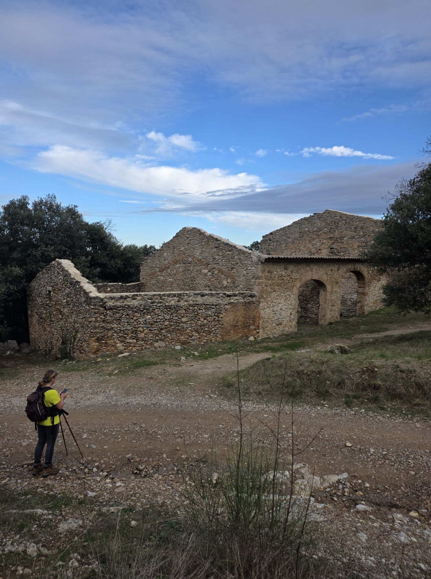
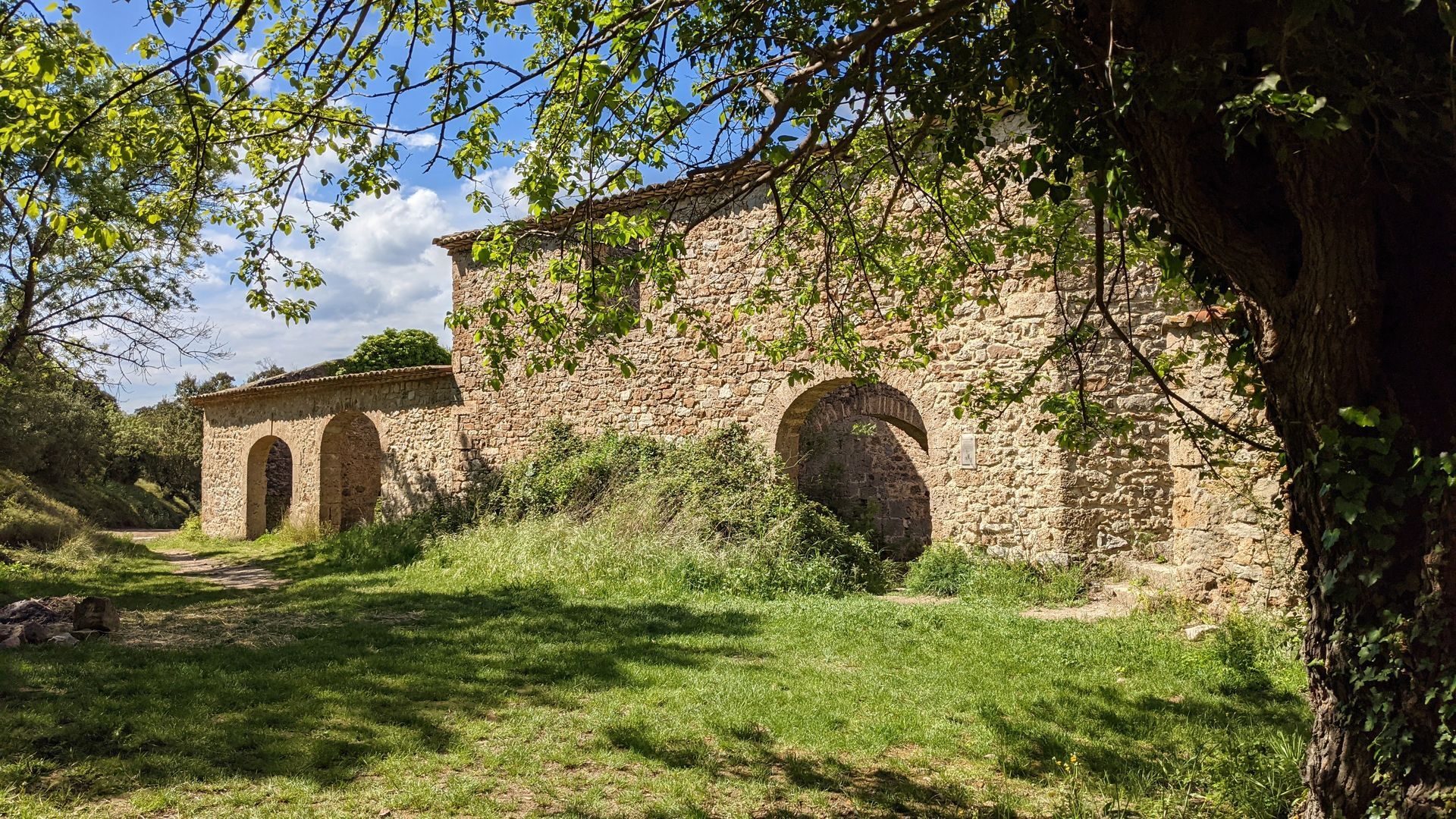
Continue straight on the track winding upwards. Pass the ruins of the Tibéret mill (do not enter the ruins). At the fork, stay straight, follow the conifer plantation of Tombe d’Izarne. Go left again at the next fork and walk 200 m.
10
Leave the track, cross a meadow. Climb the rocky path of Soureillé d’Izarne. Descend to a small pass and climb opposite. After a ridge section (view on the sea, the vineyard and the village of Cabrières, the Château hillock and Pic Vissou in the background), descend steeply (caution) to the Pitrous valley. Cross the stream and reach the road. Right, join D15 and then the parking.
A 750, A 75 exit no. 57
A 750, A 75 exit no. 57
Caution on the castle platform: steep and stony access, do not approach the cliffs. Slippery trail in several places when wet. Do not enter the ruins of the old village. Route along the Izarne ridge is delicate in strong wind, followed by a steep descent.
Yellow PR
+33 4 67 96 23 86
Clermontais Tourist Office
Oenorando®
Popularne wycieczki w okolicy
-
5,0
CIRQUE DE MOUREZE HIKE
średniWędrówka 6,86 km -
5,0
LES VAILHÉS HIKING TRAIL
średniWędrówka 9,28 km -
5,0
MONT LIAUSSON HIKE
średniWędrówka 7,36 km -
5,0
CIRCUIT N°1 LE LAC DU SALAGOU - ESPACE VTT-FFC DU SALAGOU
średniMountainbike 26,9 km -
5,0
HIKING THE RED ROCK
średniWędrówka 7,01 km -
TRAIL OF THE TOUR OF LAKE SALAGOU (SHORES OF CLERMONT) - GR® OF THE REGION BETWEEN 2 LAKES Avène – Salagou
średniTrailrunning 25,6 km -
COURTINALS TRAIL HIKE
światłoWędrówka 2,36 km -
BEALS TRAIL HIKE
średniWędrówka 4,51 km -
OENORANDO® OF THE BALCONS D’ALIGNAN DU VENT
średniWędrówka 12,7 km -
VINEYARDS AND VOLCANOES TRAIL OF FONTES
światłoTrailrunning 11,2 km
Wędrówki i tropienie


Nie przegap ofert i inspiracji na następne wakacje
Twój adres e-mail została dodana do listy mailingowej.





