







HIKING OF THE DOLMEN AND THE FOSSÉ DES YEUX
WARNING (information February 6, 2026): Following recent bad weather, this route is closed by municipal decree, for an indefinite period (risk of landslide towards the end of the route, Costettes path)....
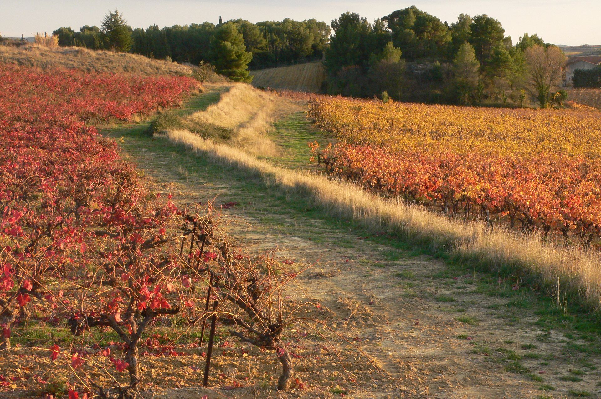
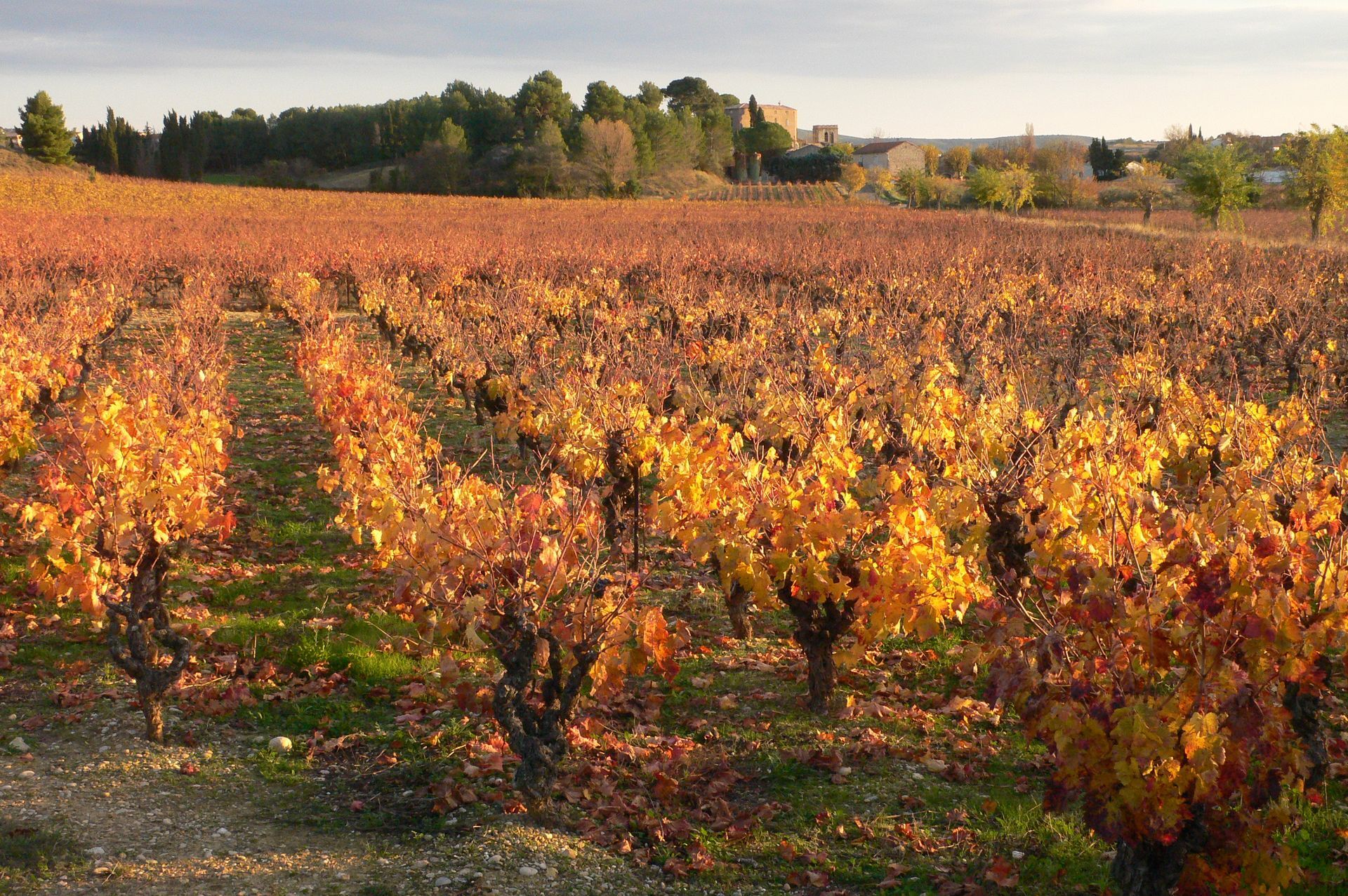
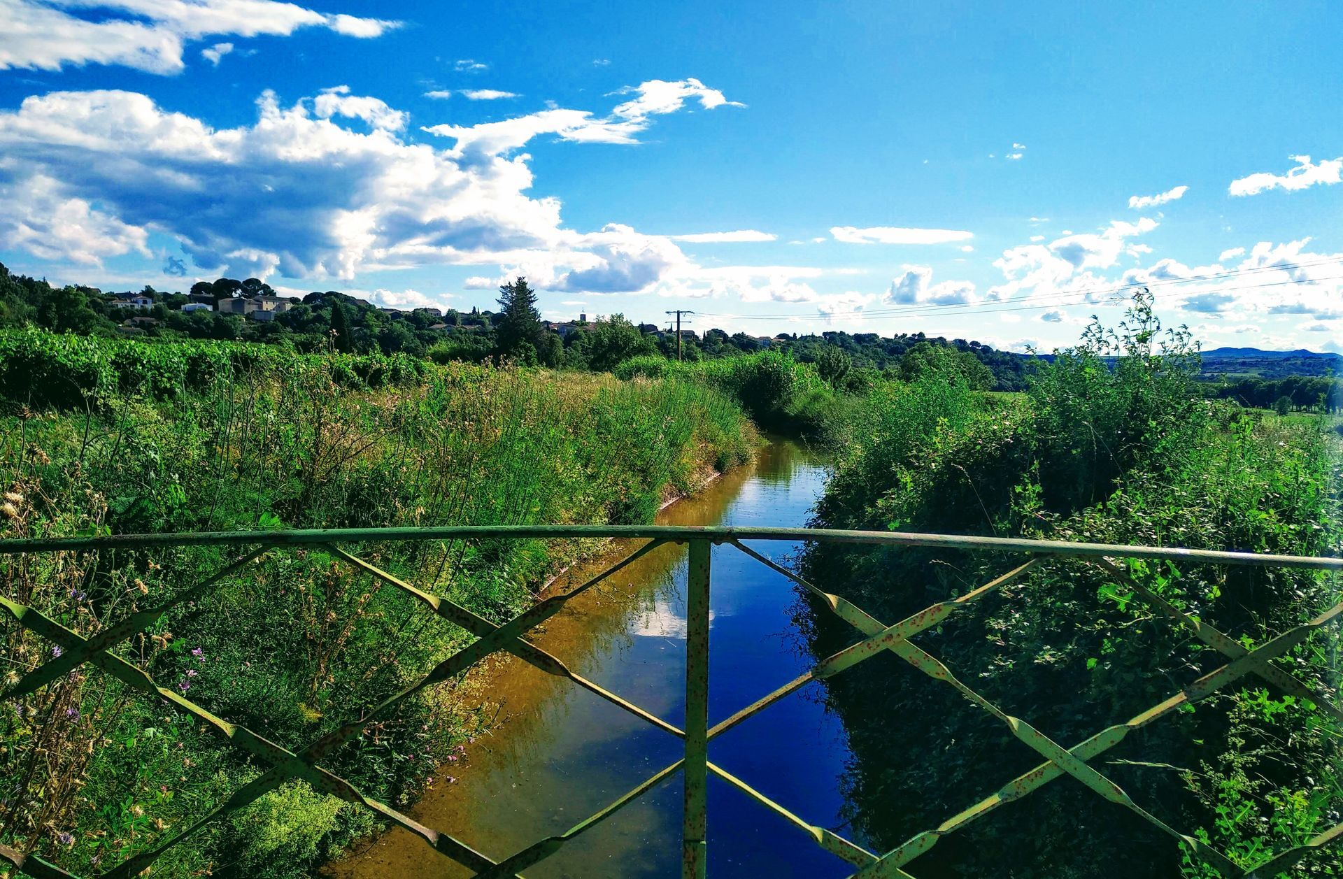
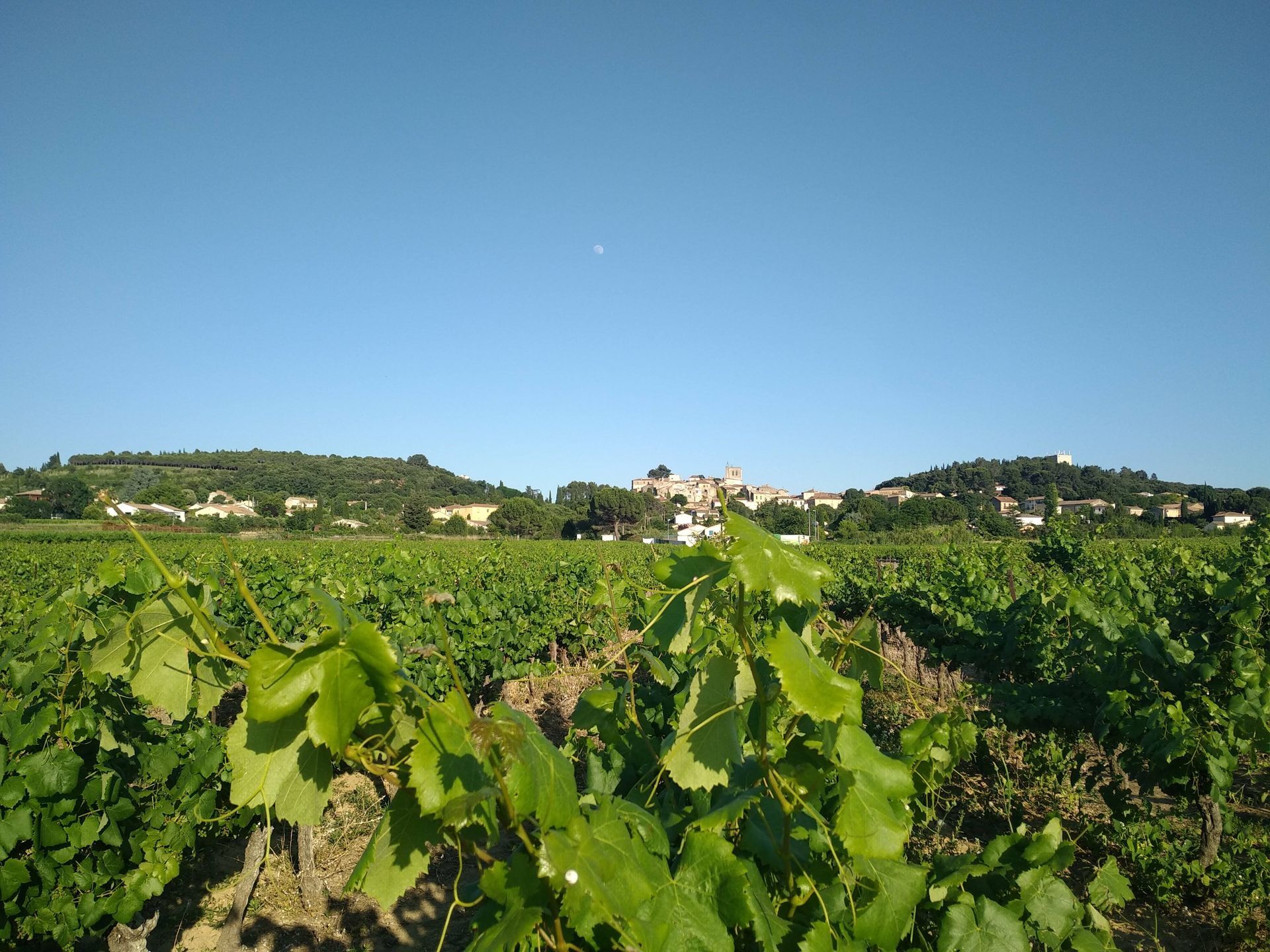
Beneficial or harmful, water holds a central place in rural societies. At Pouget, the spring water, captured in the hills, is conveyed through long galleries and distributed by the village's three fountains. The path then crosses the Estang plain, a marsh dried up in the 9th century by an underground gallery: the Fossé des Yeux.




1
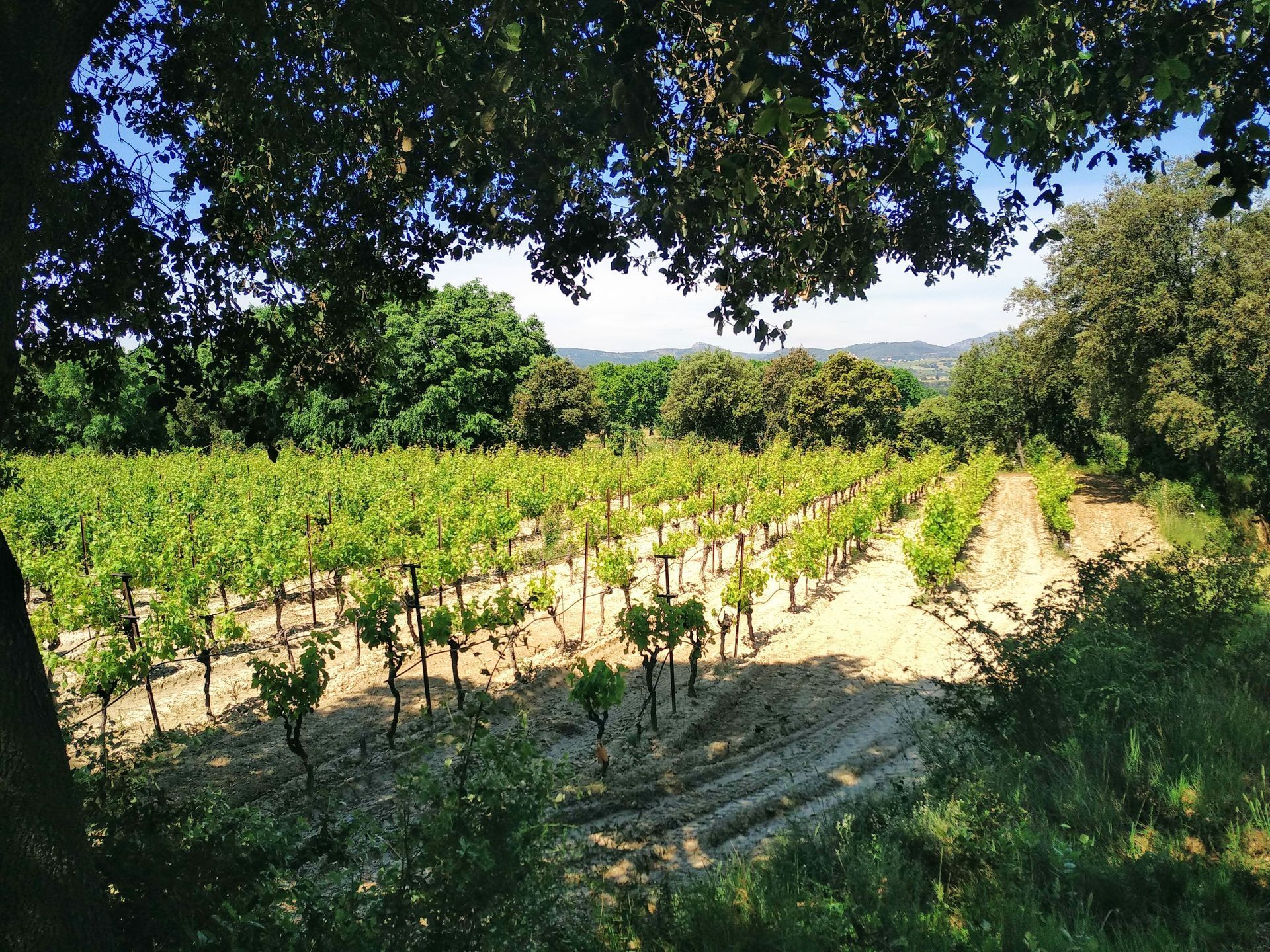
From the town hall, take a right onto rue de l'Estang, reach the Griffe plain. Turn left, at the bend take a left onto rue de la Remassière. Climb towards the Plante farmhouse. Before the farmhouse, take a path to the right leading to a small hut. Follow a vineyard by a path that then climbs into a small wood.
2
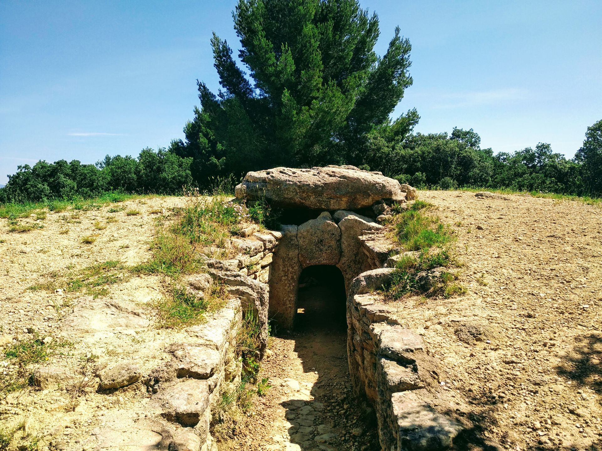
Emerging onto a track. Take left and then engage right on a wide path after crossing a barrier. Before the dolmen, go right through the woods. Emerge onto wasteland. Go straight ahead to join a driveable path. Follow it left to reach the D2.
3
Cross it (caution) and take right on a path which is followed for 150 m. Leave it for a path on the right that climbs under small cliffs. Progress and turn onto a path on the right under the high forest. Take a wide forest track going left. Pass under a high tension line. Cross a paved track. Climb opposite and reach Tressan Cemetery.
4
Go around the cemetery. Take left on a ridge path which turns into a trail. Reach a road, follow right to get to Puilacher via the Visles path. Turn left and climb into the village via the avenue des Condamines. Cross the fountain square and follow left along the D123 E1 to the cemetery. Take left on a track leading to the D2.
5
Cross carefully, go left and enter right into a vineyard path. Go around Fossé des Yeux. Continue right. Before the L'Estang estate, turn left. Climb the alley to a paved road. Turn right. At the third access on the left, climb up to a row of umbrella pines towards the Pouget water tower. Turn right on a path bordered by a majestic hackberry tree. At the end of this path, turn right to return to rue Neuve and the starting point.
D32 Pouzols
D32 Pouzols
Yellow PR
+33 4 67 57 58 83
Saint-Guilhem-le-Désert Intercommunal Tourist Office - Hérault Valley
PR - FFR
Popularne wycieczki w okolicy
-
5,0
CIRQUE DE MOUREZE HIKE
średniWędrówka 6,86 km -
5,0
LES VAILHÉS HIKING TRAIL
średniWędrówka 9,28 km -
5,0
MONT LIAUSSON HIKE
średniWędrówka 7,36 km -
5,0
SAINT ANTOINE HERMITAGE HIKE
światłoWędrówka 9,91 km -
5,0
MOURE HILLS HIKE
średniWędrówka 13,1 km -
OENORANDO® THE ART AND NATURE TRAIL
średniWędrówka 15,7 km -
COURTINALS TRAIL HIKE
światłoWędrówka 2,36 km -
CYCLE LOOP No. 26 - THAU POND, ABBEY OF VALMAGNE AND PÉZENAS
średniJazda na rowerze 63,1 km -
VINEYARDS AND VOLCANOES TRAIL OF FONTES
światłoTrailrunning 11,2 km -
OENORANDO® OF THE VINEYARDS AND VOLCANOES OF FONTES
średniWędrówka 11,2 km

Wędrówki i tropienie


Nie przegap ofert i inspiracji na następne wakacje
Twój adres e-mail została dodana do listy mailingowej.





