


HIKING ROUTE OF THE CHATEAUX DU MUSCAT DE LUNEL - LABELED FFRANDONNÉE®
This route passes through the hillside terroir between the vineyards of the A.O.P. Muscat de Lunel and the pine forests. You have the opportunity to discover three muscat producers' wine cellars as well...
This route passes through the hillside terroir between the vineyards of the A.O.P. Muscat de Lunel and the pine forests. You have the opportunity to discover three muscat producers' wine cellars as well as to pass along the path of the Via Domitia.

1
At the parking lot, cross the road and, facing the calvary, turn left onto the Old Road. Walk about 750 m along the power line. About 100 m after a house, reach a crossroads.
2
Turn left, then right to join a wide track. Go right, ignore a left turn, pass in front of Mas de Vallongue (private property). Join a small road (chemin de la Monnaie, Via Domitia, GR® 653 trail towards Saint-Jacques-de-Compostelle) which is taken right for about 250 m.
3
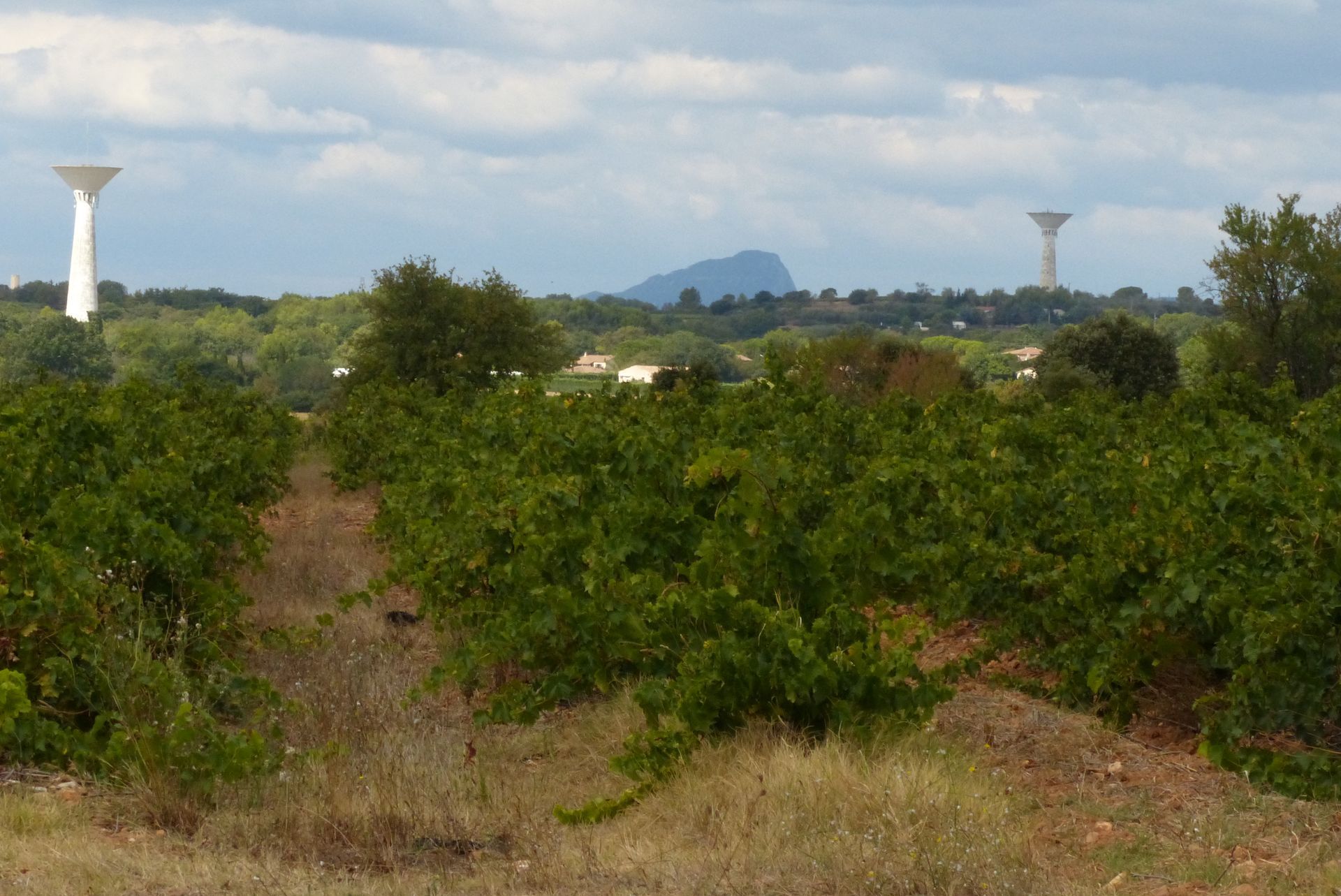
Turn right on a wide track, and very quickly at the fork, go left (view of Pic Saint-Loup and Hortus). Further on, ignore a track on the left. Continue straight ahead.
4
Enter a grassy path between fields to the left. Continue along Château de la Devèze, then turn right toward road D 110; cross it (heavy traffic) and continue to a track junction. Take the second left, walk between the vineyards and reach another track junction.
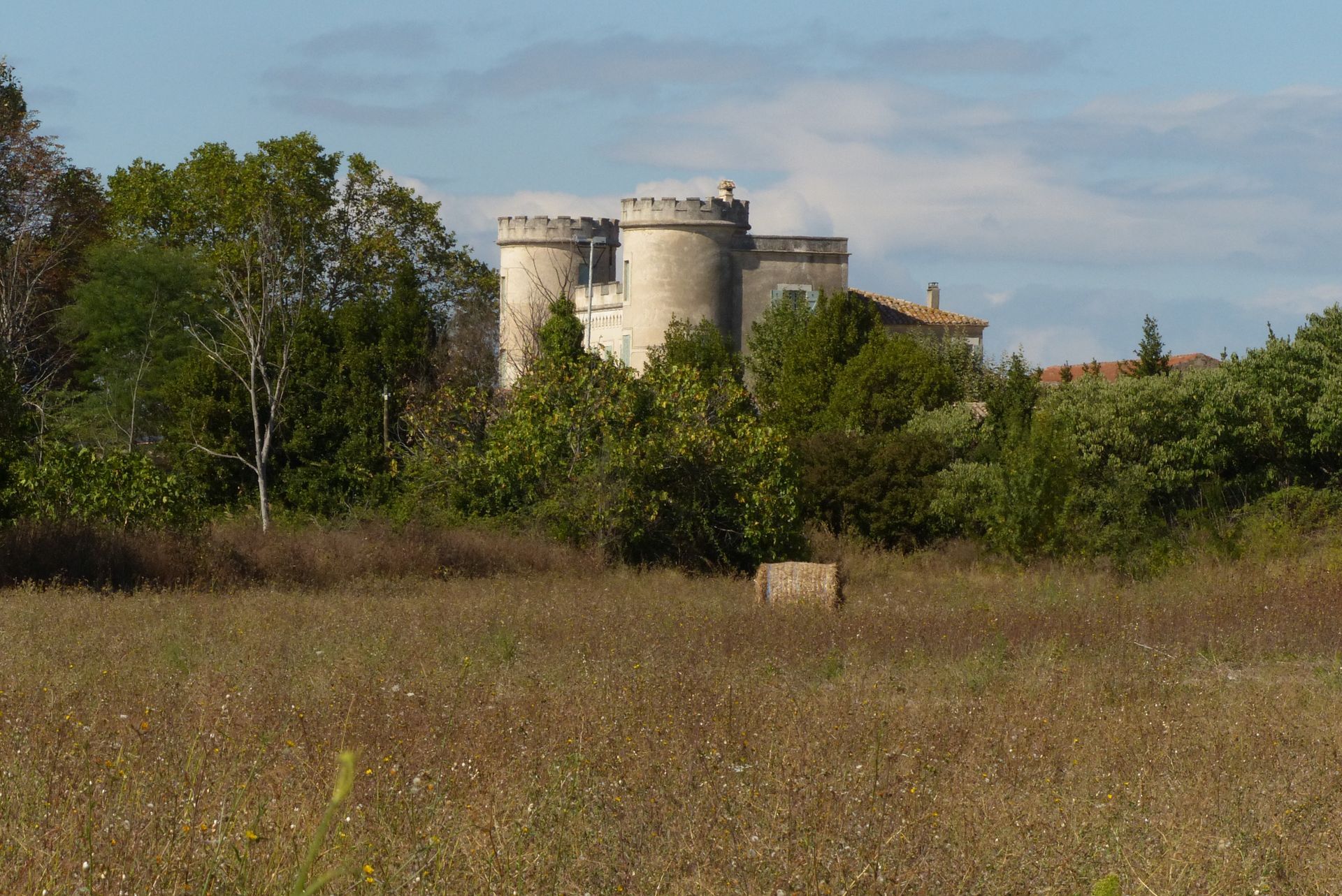
5
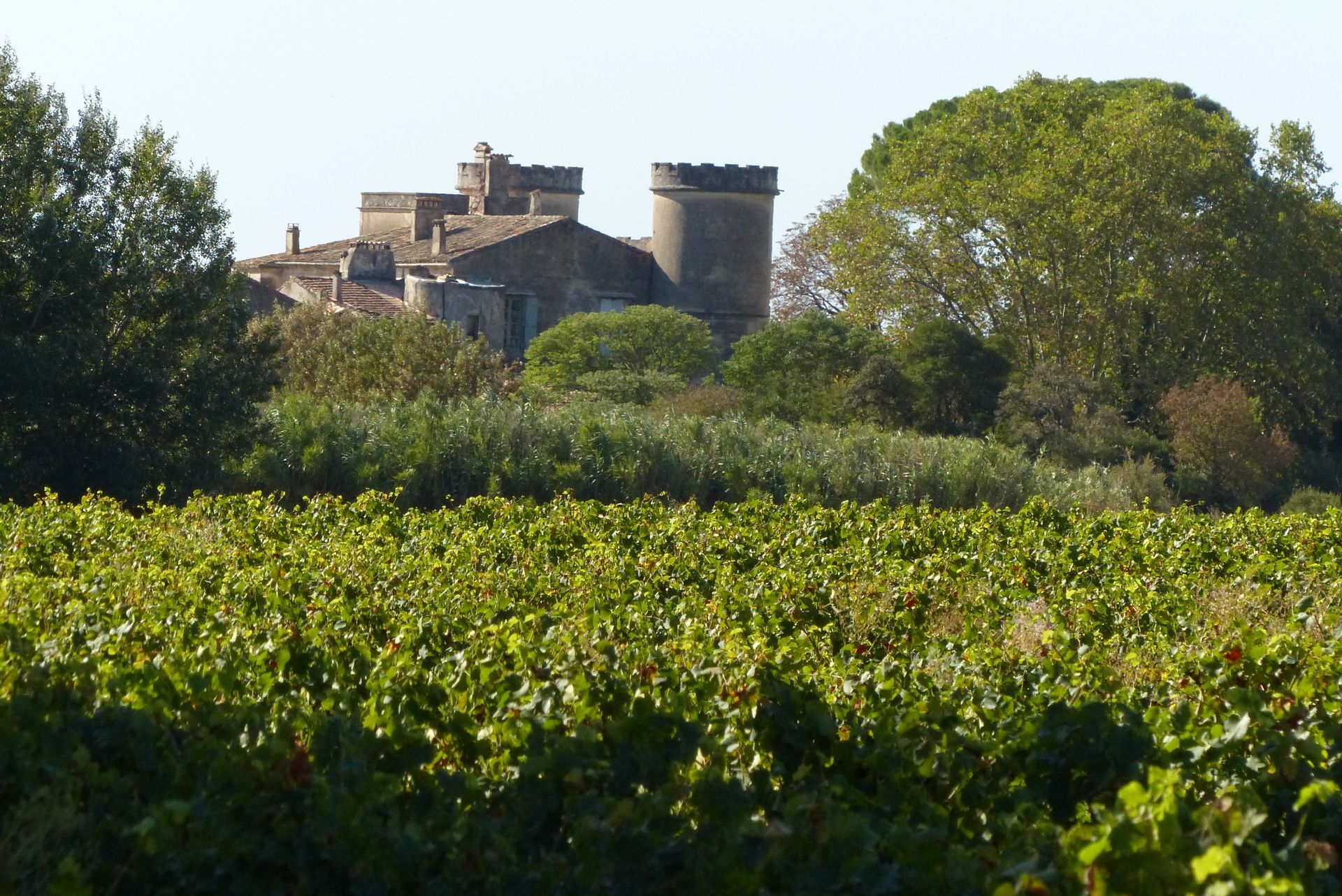
Turn right into the pine forest on an alley blocked by large rocks. At the end, turn right, then left to join a paved road. Continue straight, then turn left. Pass along the imposing buildings of Château de Pouget. The track turns left then right, passes under a high voltage line and comes out onto a small road. Go right to D 110E2.
6
To the right, follow the road passing next to the vineyard. Further on, rejoin the road. Pass in front of a pond surrounded by large plane trees. Continue toward the village. At the roundabout, go straight, then turn left into rue du Château d’Eau (Château de Vérargues). At the next roundabout, continue toward Saturargues. Walk about 200 m to return to the parking lot.
In case of emergency, call 112.
Yellow PR
+33 4 67 71 01 37
Tourist office of the Pays de Lunel
PR - FFR
Popularne wycieczki w okolicy
HIKING THE CASTRIES AQUEDUCT
światłoWędrówka 11,4 kmLA BOUCLE DE REGANHAT HIKE
światłoWędrówka 4,33 kmWINE ROUTE - LAND OF MUSCAT AND BULLS
Motorrad 54,9 kmOENORANDO® DES COTEAUX DE SAINT-CHRISTOL - FFRANDONNÉE® CERTIFIED
światłoWędrówka 7,74 kmFONTANARIDE HIKE
światłoWędrówka 4,35 kmBOUCLE CYCLO N°28 - THE ROUTE DES MAS AND THE CANAL DE LUNEL
światłoJazda na rowerze 43,6 kmTHE FOUR QUARRIES TRAIL HIKE
średniWędrówka 8,73 kmCYCLE LOOP No. 1 - CASTRIES AND THE LUNEL PLAIN
światłoJazda na rowerze 42,3 kmPETITE CAMARGUE TOUR - ESPACE VTT-FFC PAYS DE LUNEL
światłoMountainbike 23,9 kmLA PÈNE GALARGUES - PAYS DE LUNEL MTB-FFC AREA
średniMountainbike 28,9 km
Wędrówki i tropienie


Nie przegap ofert i inspiracji na następne wakacje
Twój adres e-mail została dodana do listy mailingowej.