


HIKING THE CASTRIES AQUEDUCT
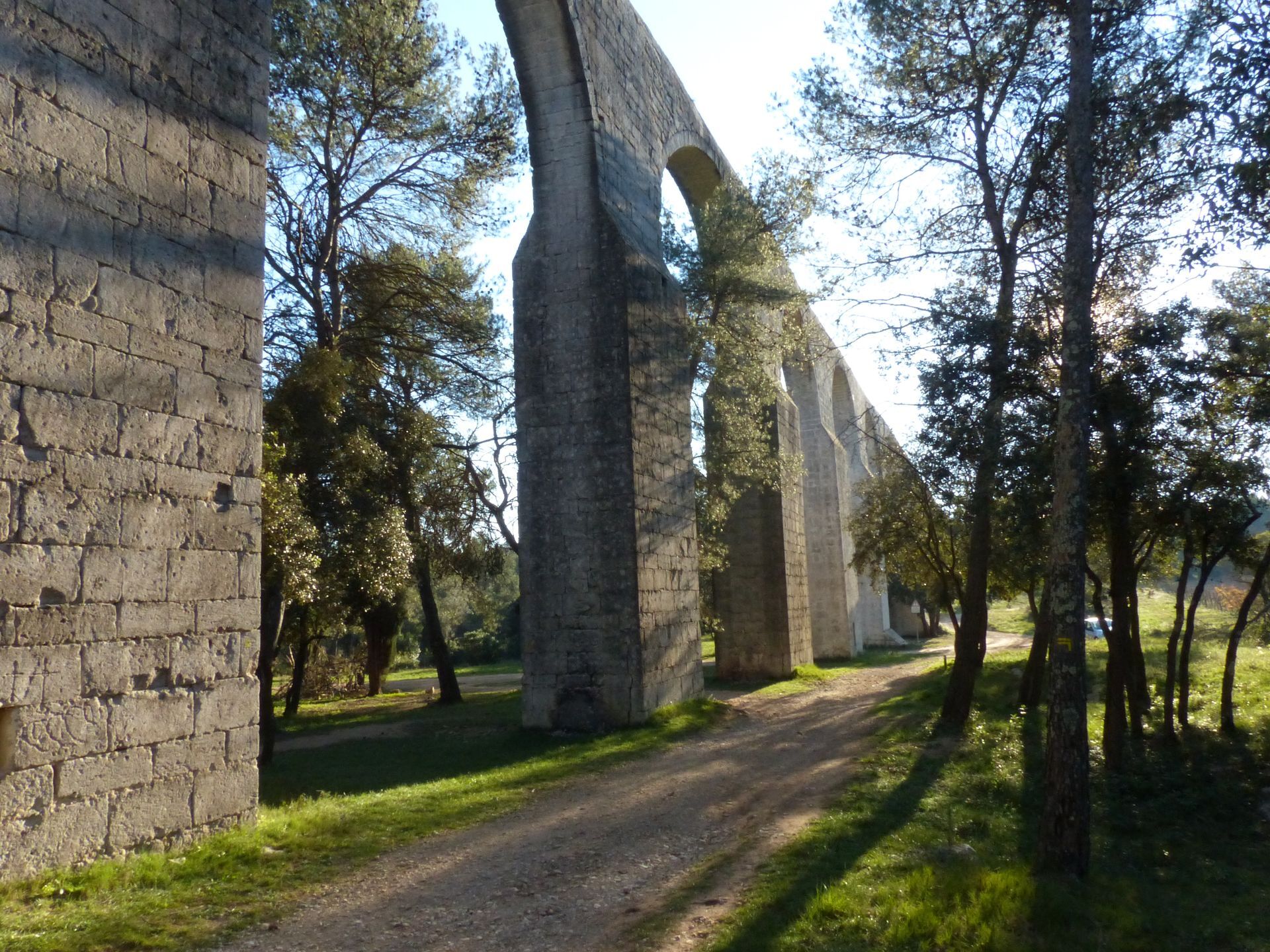
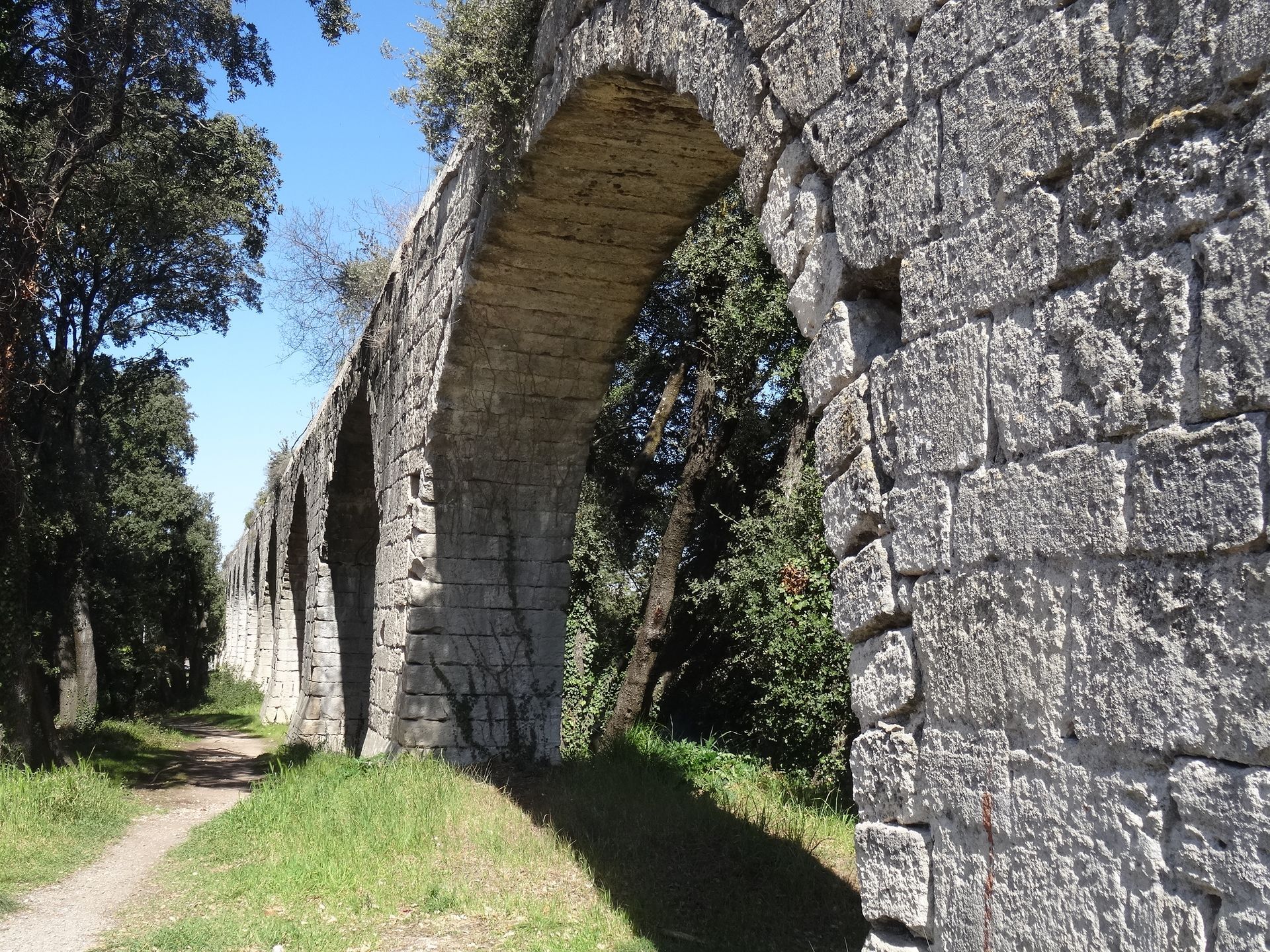
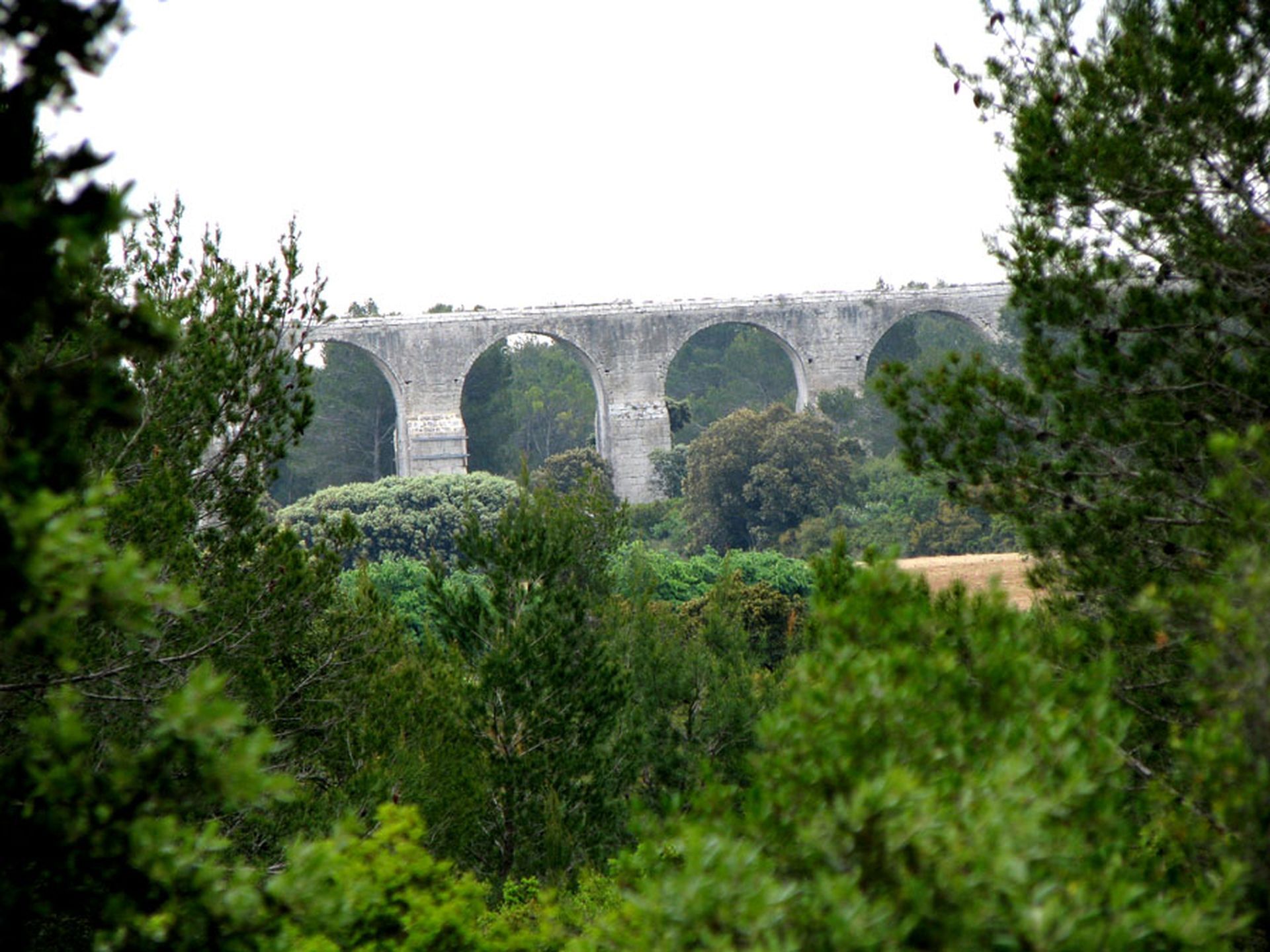
Designed by Paul Riquet, the Castries aqueduct, an imposing structure, winds along the ground or is aerial. With a gradient of 3 meters over a length of 6,822 meters, it carried water to the park of the...
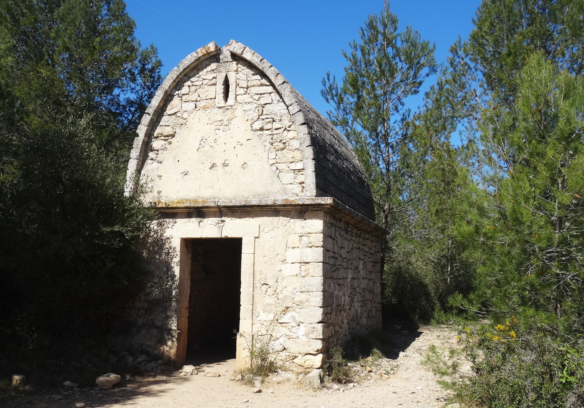
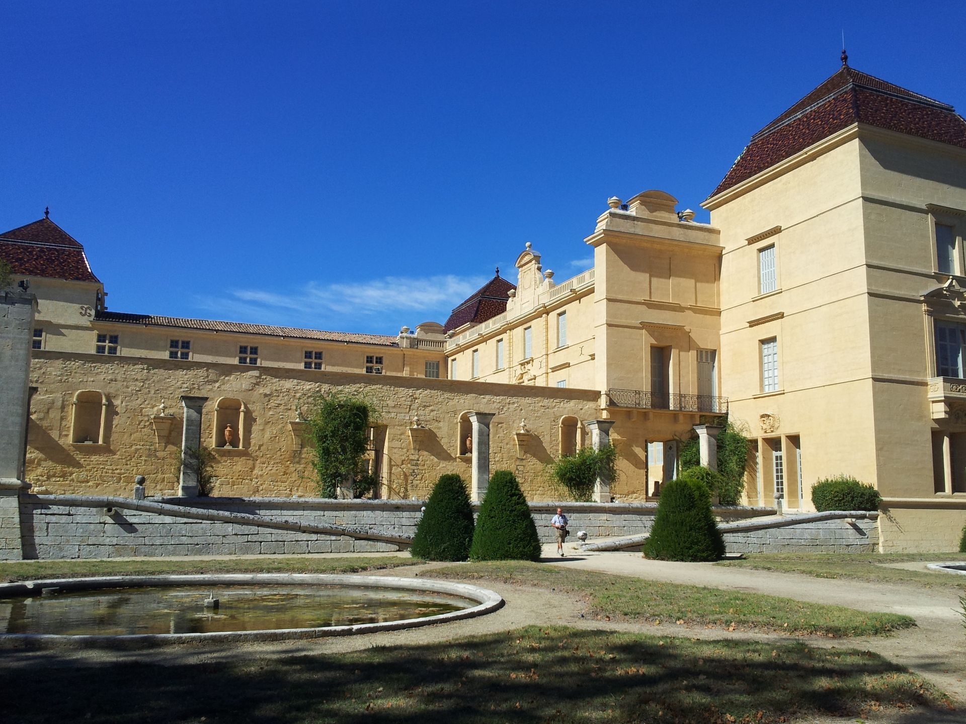
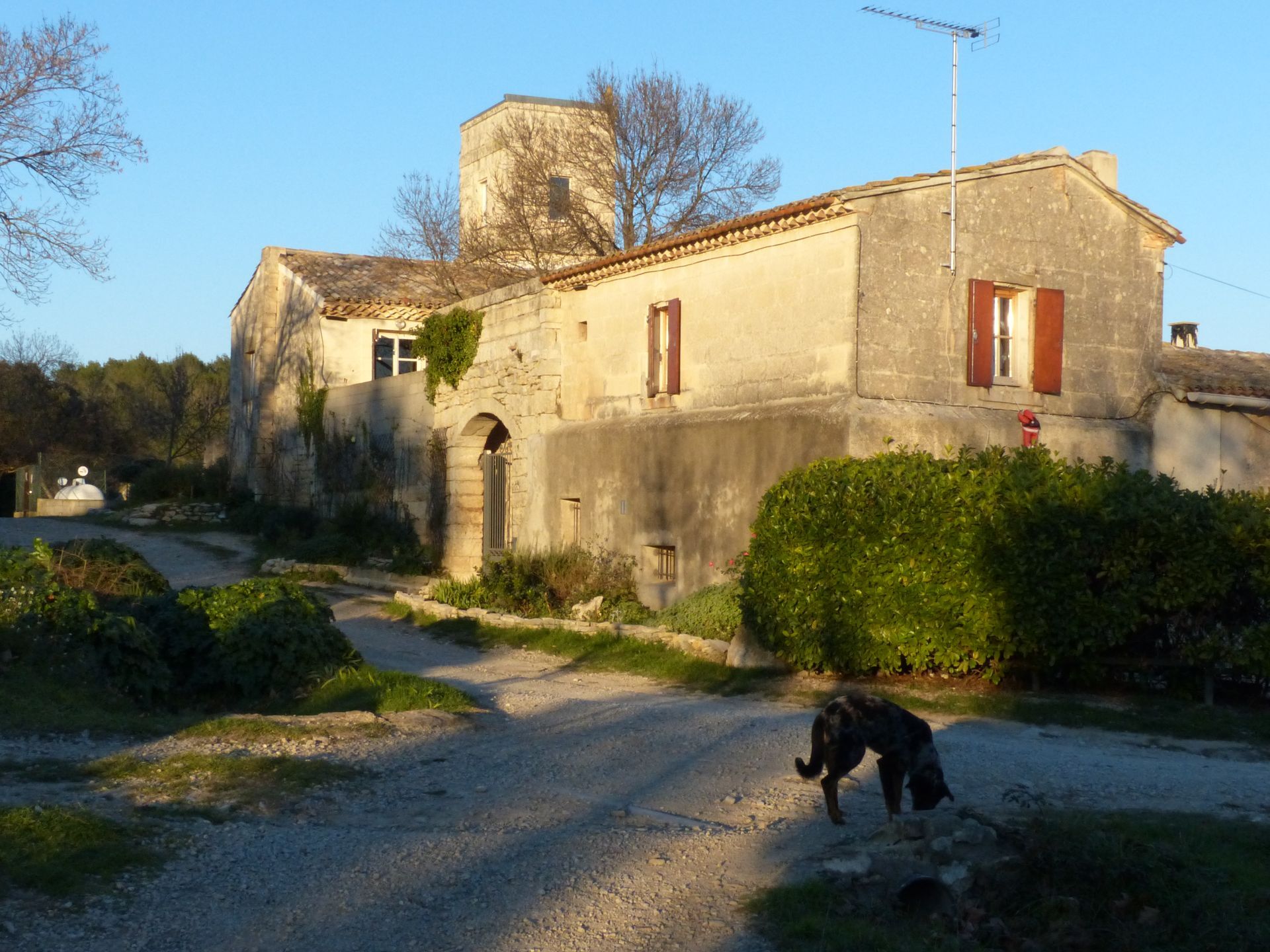
Designed by Paul Riquet, the Castries aqueduct, an imposing structure, winds along the ground or is aerial. With a gradient of 3 meters over a length of 6,822 meters, it carried water to the park of the Château de Castries. The route skirts the mysterious Capelette (small chapel) and crosses the Cadoule at the Tourilles bridge to then reach the ruins of a Templar commandery in Bannières. Then you discover Castries and its medieval heart, its old market halls, its Coste square sheltered by the remains of the Romanesque church, the arches of the oil mill, the imposing church, and especially the château and its park, a little Versailles of the Languedoc. Finally, after the Colombier quarry, a classified site used for building monuments, the path leads to the mas of Fondespierre.

1
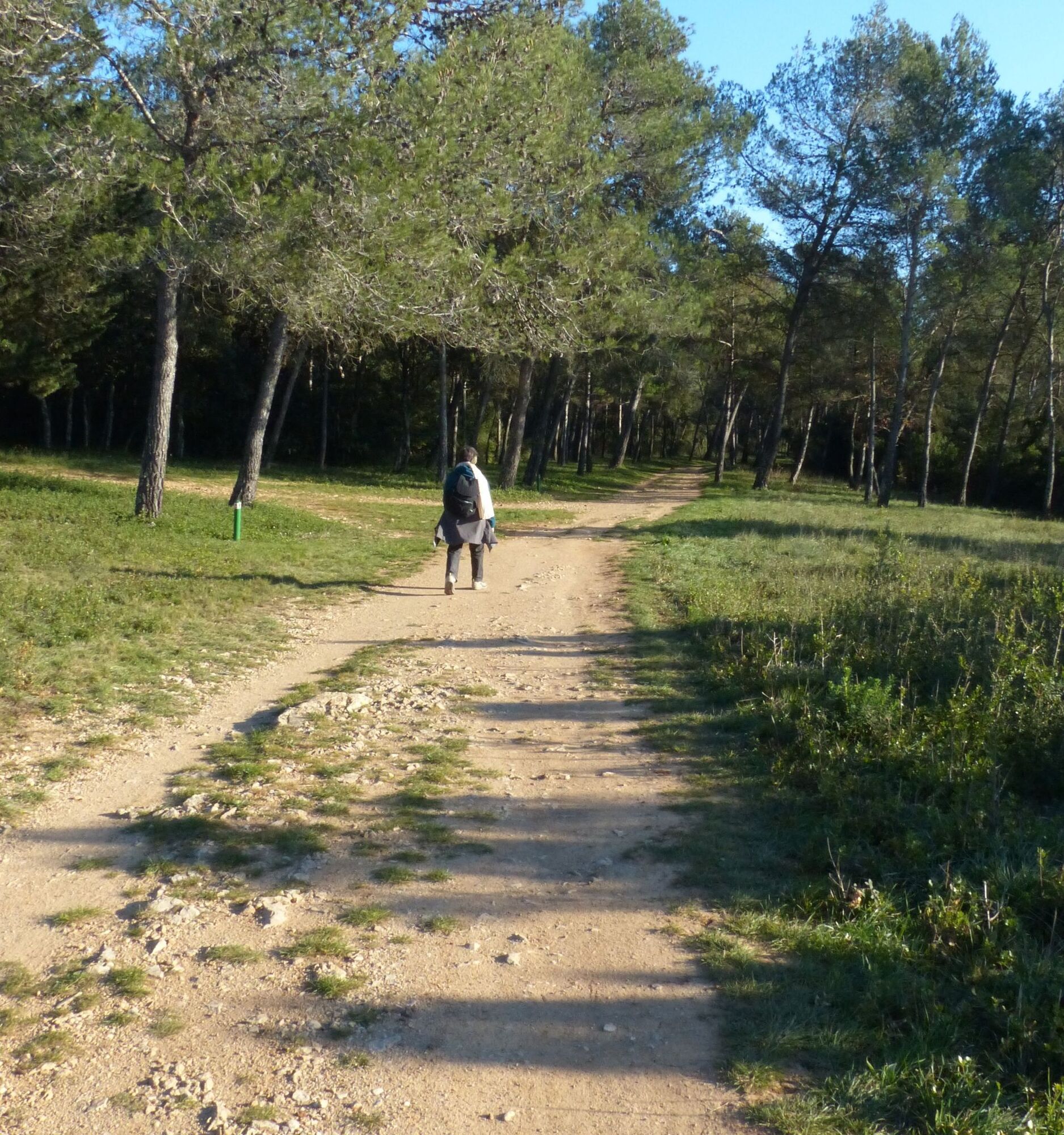
From the parking lot (access to the Fondespierre departmental estate via the N110), go around the mas by the track on the right. Pass in front of an old bee wall, go alongside a cultivated plot, then vineyards. At the crossroads, go left, then shortly after, continue along an avenue of plane trees. Cross the buried aqueduct and reach a crossroads (viewpoint over the Château de Castries and the aerial aqueduct).
2
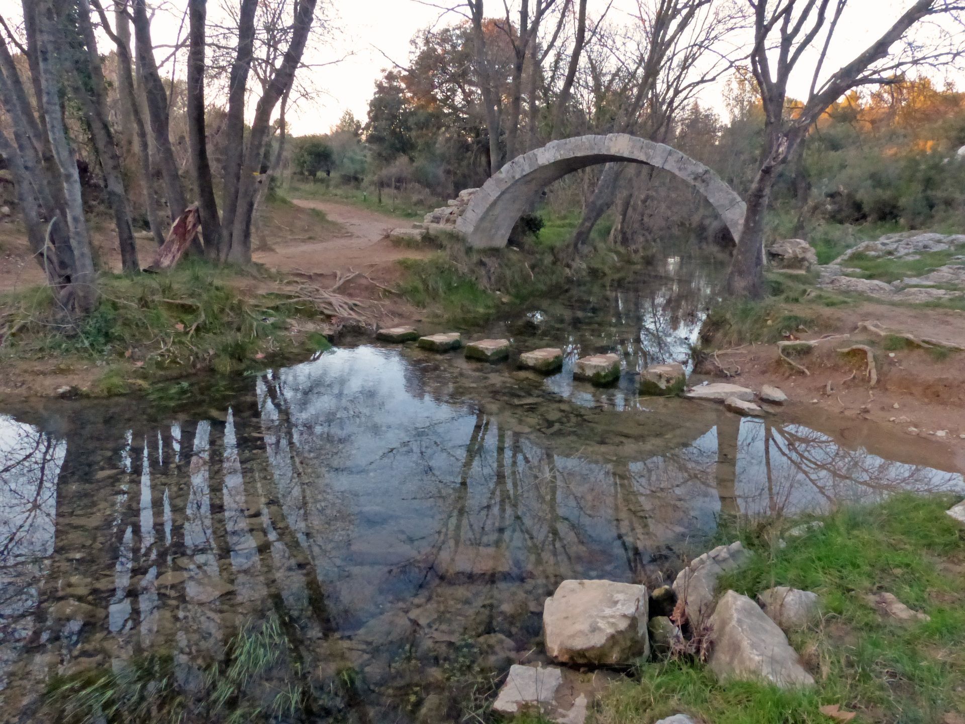
Short variant of the circuit (6.5 km, 2 h 10): take a wide track on the left bordering a pine forest up to the first arches. Follow the aerial aqueduct to the Croix de Coulon. A few meters further, turn right. Cross the D 26, reach the Tourilles bridge then cross the Cadoule on stepping stones.
3
Leave the main track and continue left. Reach a road; take it left for about 200 m. At the bend, continue straight on a track.
4
Go alongside a field and turn right between a pine forest and vineyards. Descend, leave the track to turn left and cross the Cadoule again. Pass between two fields and follow the track to the right towards Castries. At the crossroads, continue alongside houses to the roundabout, then go straight on Combes street. Take the D 26 on the right and continue up to the aqueduct.
5
At the Croix de Coulon parking area, leave the road and follow a path on the right along the arches. It crosses the Bois de la Guesse; reach the edge of the wood.
6
At the edge, take Arceaux street to the left. Cross Avenue de Sommières (D 610) and follow it right for 70m. Take Casserole street to the left. At the church, go down right on Promenade street and continue left on Lieutenant Cals street to the entrance of the château park.
7
Take Quartier-Bas street to the left, Château street to the right, Cantonnat street to the right and Balcon-rond street to the right. Pass right under the aqueduct via Ferme-du-Château street. Cross Avenue de Sommières and on the right, take the lane to the left. After the small square, take Pierre-Bleue street to the right and, opposite the college, Avenue des Pins to the left for 25 meters.
8
Enter the passage on the right. Continue straight, then turn onto the track on the right and follow the Vert® network to Fondespierre.
Yellow PR
+33 4 99 74 01 77
Castries Tourist Office Via Domitia
PDESI
Popularne wycieczki w okolicy
-
5,0
CHARBONNIERES HIKE
światłoWędrówka 5,24 km -
HIKING THE OASIS OF THE GARRIGUES
średniWędrówka 10,9 km -
HIKE OF THE CHÂTEAU DE RESTINCLIERES
światłoWędrówka 7,86 km -
OENORANDO® BETWEEN GRÉS DE MONTPELLIER AND PIC SAINT-LOUP
średniWędrówka 15,0 km -
4,0
BOIS DE LÈQUE HIKE
światłoWędrówka 9,34 km -
LA BOUCLE DE REGANHAT HIKE
światłoWędrówka 4,33 km -
LOOP CYCLO N°18 - LA SOURCE DU LEZ
światłoJazda na rowerze 13,9 km -
WINE ROUTE - LAND OF MUSCAT AND BULLS
Motorrad 54,9 km -
FONTANARIDE HIKE
światłoWędrówka 4,35 km -
BOUCLE CYCLO N°28 - THE ROUTE DES MAS AND THE CANAL DE LUNEL
światłoJazda na rowerze 43,6 km
Wędrówki i tropienie


Nie przegap ofert i inspiracji na następne wakacje
Twój adres e-mail została dodana do listy mailingowej.