







THE 2 SEAS CANAL BY BIKE, FROM SOMAIL TO SÈTE
From charming Somail to the Mediterranean, this section of the Canal des 2 Mers by bike reveals all the character of the Midi. We leave the village to reach Capestang, guided by the bell tower of Saint-Félix...
From charming Somail to the Mediterranean, this section of the Canal des 2 Mers by bike reveals all the character of the Midi. We leave the village to reach Capestang, guided by the bell tower of Saint-Félix and its shady square. Further on, the Malpas tunnel, the Oppidum d'Ensérune and the spectacular view over the dry pond of Montady mark the route. The nine locks of Fonseranes and the Orb bridge-canal announce Béziers, before progressing towards the sea via Villeneuve-lès-Béziers and Portiragnes. The Libron structures and the round Agde lock punctuate the approach to the ancient basalt city. The canal ends at the Onglous lighthouse, where it joins the Etang de Thau. Finally, the Lido greenway, between Marseillan and Sète, offers a superb seaside finish.


1
It's almost with regret that we leave Le Somail on our bikes, such is the charm of the place, but Sète is still a long way off and we need to get back in the saddle for a short stage to Capestang, whose proximity is announced by the bell tower of St-Félix church, which will guide you to the village's central square, where you can enjoy a rest in the shade of the plane trees.
2
Another eventful stage! The Malpas tunnel is a work of civil engineering not to be missed. Nearby, the Oppidum d'Ensérune is well worth a visit, and you'll be amazed to see the unusual dry pond at Montady. The cycle route ends with the unique site of the nine locks at Fonseranes and the superb Orb canal bridge, from which the view over the city of Béziers is truly breathtaking.
3
From Béziers, the Canal du Midi by bike brings us closer to the sea. After a brief incursion into Villeneuve-lès-Béziers and Portiragnes, left to your own discretion, we reach the Roque Haute bridge. From here, the Portiragnes beach is close by and easily accessible for a refreshing swim! Finally, the surprising structures on the Libron and the round lock at Agde are real curiosities.
4
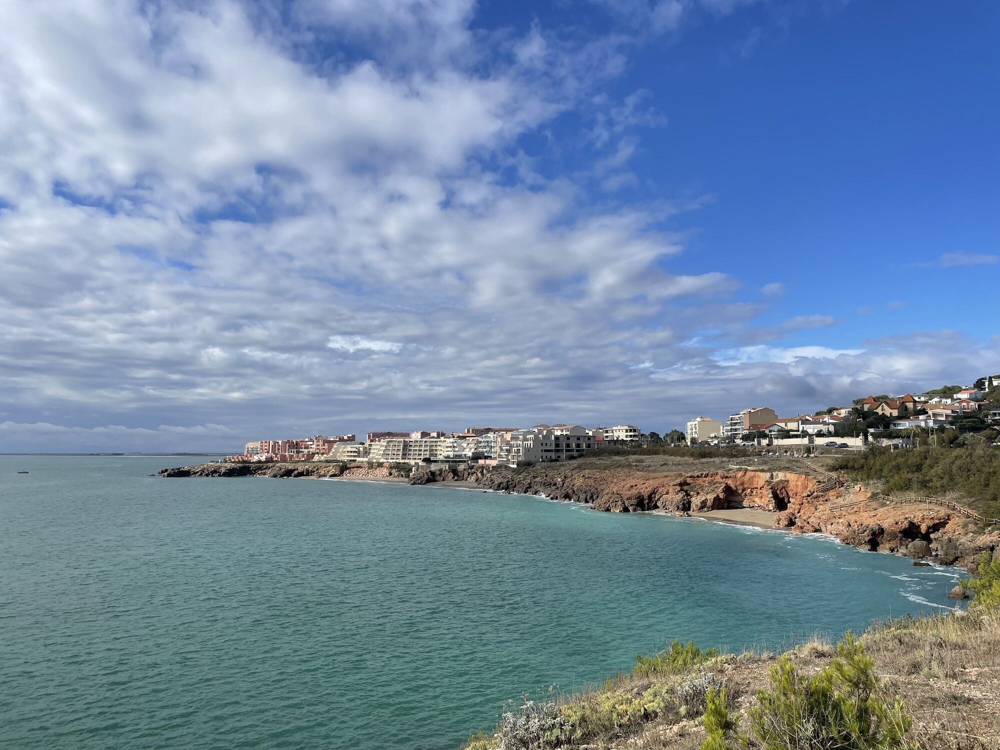
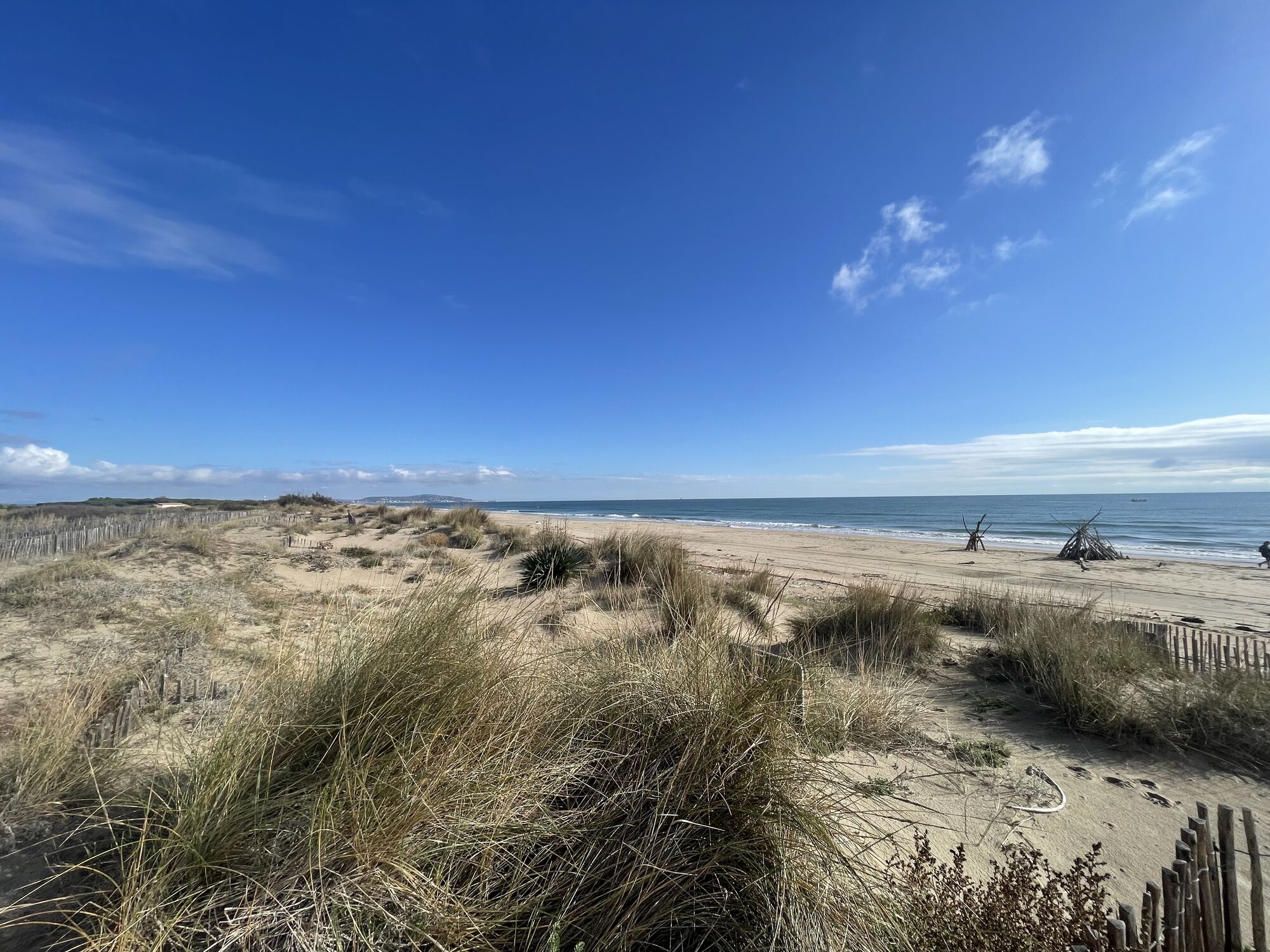
The ancient city of Agde, dressed in black basalt, will not fail to amaze you, with its astonishing cathedral whose steeple dominates the Hérault. Last moments on the Canal du Midi, which merges into the Etang de Thau at the Onglous lighthouse. From Marseillan plage, the superb Lido greenway along the seafront takes you all the way to Sète, where you're always invited to go for a swim.
Béziers
Voie verte" signs
+33 4 67 37 85 29
Tourist Office Du Canal du Midi au Saint-Chinian
Hérault Vélo
Uzyskaj wgląd
Zawsze na żywo z ponad 9 500 kamer internetowych. bergfex Jako użytkownik Pro, możesz teraz zobaczyć odpowiednie kamery internetowe dla wielu wycieczek w aplikacji wycieczki od. Pozwala to na bezpośredni podgląd aktualnych warunków.
Popularne wycieczki w okolicy
-
MOUNTAIN BIKE CIRCUIT 21: LE GRAND SALAN - ESPACE VTT/GRAVEL CAP D'AGDE MÉDITERRANÉE
światłoMountainbike 19,5 km -
OENORANDO® LES COTEAUX D'ENSÉRUNE
światłoWędrówka 8,08 km -
LA GRANDE MAÏRE HIKE
światłoWędrówka 11,2 km -
OENORANDO® BETWEEN THE CANAL DU MIDI AND THE VINEYARDS
średniWędrówka 10,2 km -
5,0
HIKING THE ORPELLIÈRES, TREASURES OF NATURE
światłoWędrówka 4,13 km -
HIKING OF THE PASEJADE DEL CRES
średniWędrówka 14,2 km -
HIKING BETWEEN CANAL DU MIDI AND BEZIERS
światłoWędrówka 7,81 km -
THE TAMARISSIERE HIKE IN THE SHADE OF THE PINES
światłoWędrówka 5,32 km -
CIRCUIT TABARKA ISLAND – BÉZIERS MÉDITERRANÉE VTT-FFC AREA
średniMountainbike 17,2 km -
CYCLING LOOP NO.23 BIS SUMMER - FROM VALRAS COAST TO THE CANAL DU MIDI
światłoJazda na rowerze 39,9 km

Wędrówki i tropienie


Nie przegap ofert i inspiracji na następne wakacje
Twój adres e-mail została dodana do listy mailingowej.





