







MTB route no.18 Les Suquets
You will start from the village of Penne and climb to the Forêt de Grésigne, where the wall built by Louis de Froidour during the reign of Louis XIV still marks the boundaries of the Royal Forest in some...
You will start from the village of Penne and climb to the Forêt de Grésigne, where the wall built by Louis de Froidour during the reign of Louis XIV still marks the boundaries of the Royal Forest in some places. From there, you will head to Vaour and its Templar Commandery, constructed around 1140. You will then cross the village of St. Michel de Vax, passing in front of the towers of the Château des Lacombe Saint Michel, built during the time of Blanche of Castile. Finally, you will return to Penne via the Causse.

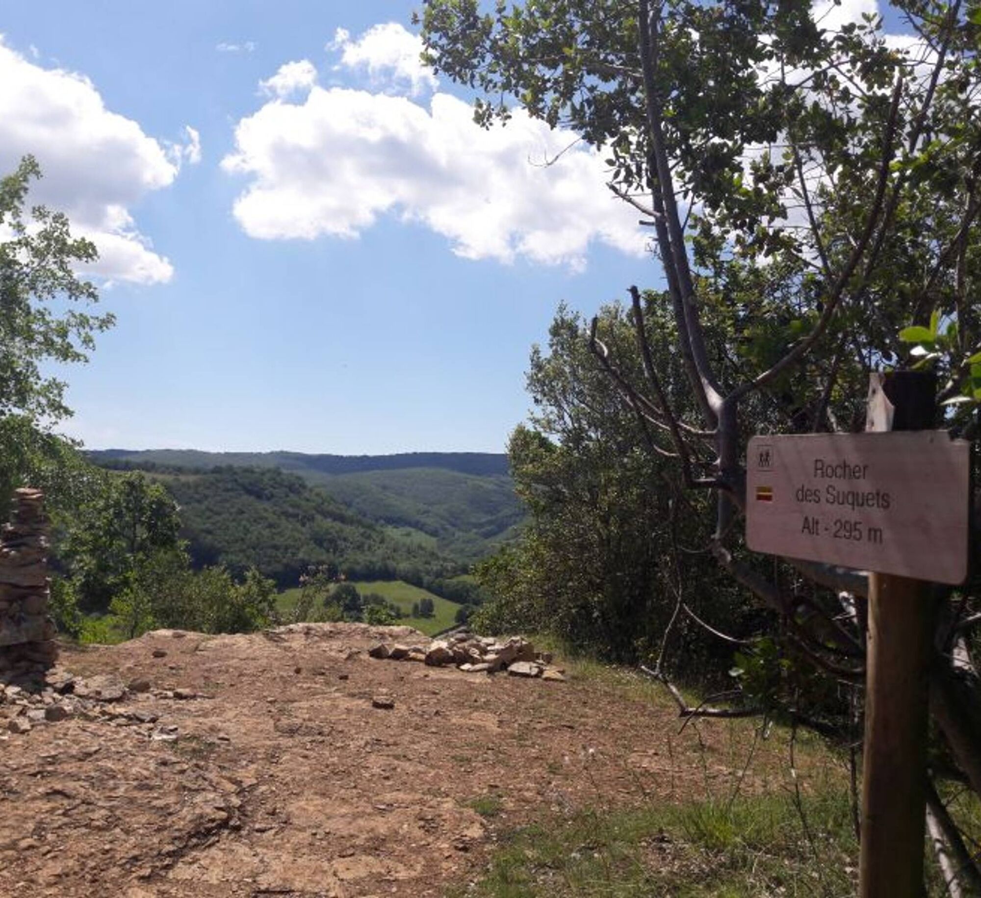

Starting from Penne, you climb via the Bayès path to the Pas de la Lignée, following the GR de Pays Cordes-Penne, while enjoying beautiful views of the village, its fortress, and the valley. You then follow the edge of the Forêt de Grésigne to the village of Vaour, where you can enjoy a great view of the Templar Commandery. After crossing the village, you climb up towards the heights via the Route de Liberté to the place called "La Fleur de Lys" before descending by the trails to the village of St. Michel de Vax. Finally, you follow the path on the Causse and cross the small valley of the stream "Le Bombic" before climbing up to the hamlet of Roussergues and its small 12th-century church, Notre Dame. A final climb to the village awaits to finish.
Difficult
Popularne wycieczki w okolicy
-
5,0
Chemin de la Vère au Saint-Hussou
średniWędrówka 14,2 km -
Maraval Trail - Short Variant
średniWędrówka 5,02 km -
Sentier des dunes de Maraval aux Touardes
średniWędrówka 8,57 km -
The Suquets of Penne
światłoWędrówka 10,3 km -
Maraval trail - dune section
światłoWędrówka 1,72 km -
From the Cérou to the Aveyron
średniWędrówka 10,2 km -
Sentier de découverte de Les Cabannes "Sur les traces des bâtisseurs"
światłoWędrówka 2,63 km -
Sentier de Mespel
średniWędrówka 5,73 km -
Téroundel path (Sentier du Téroundel)
światłoWędrówka 2,58 km -
Cordes heritage trail
średniWędrówka 14,8 km
Wędrówki i tropienie


Nie przegap ofert i inspiracji na następne wakacje
Twój adres e-mail została dodana do listy mailingowej.





