


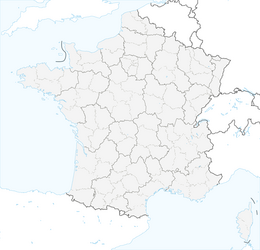


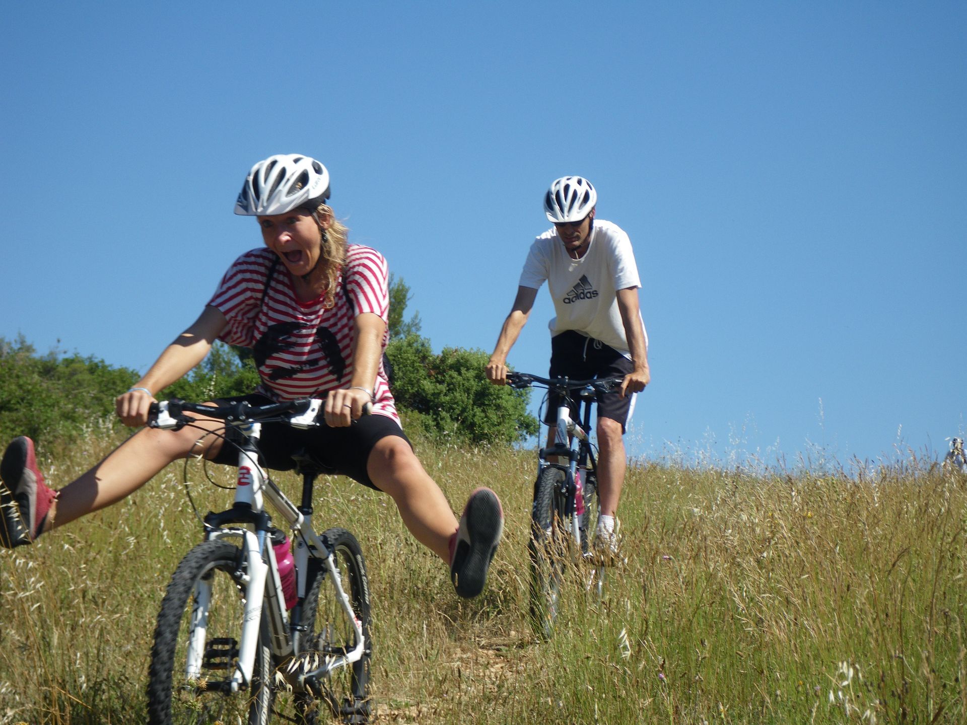
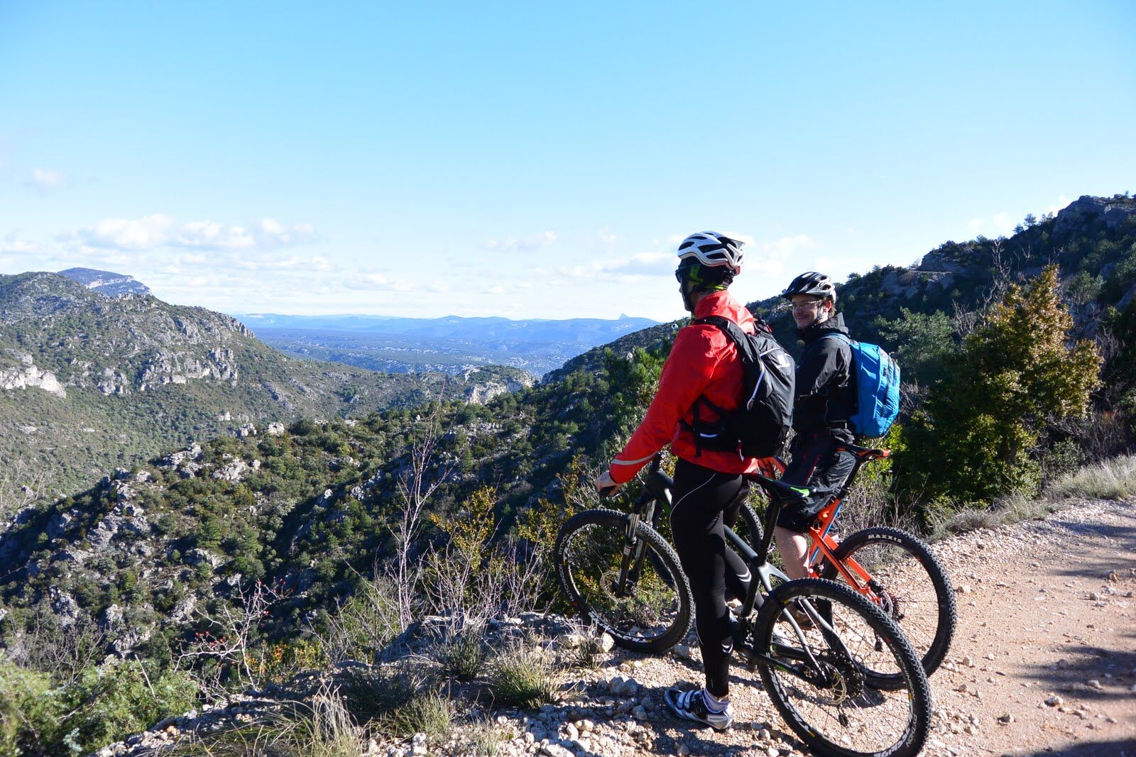
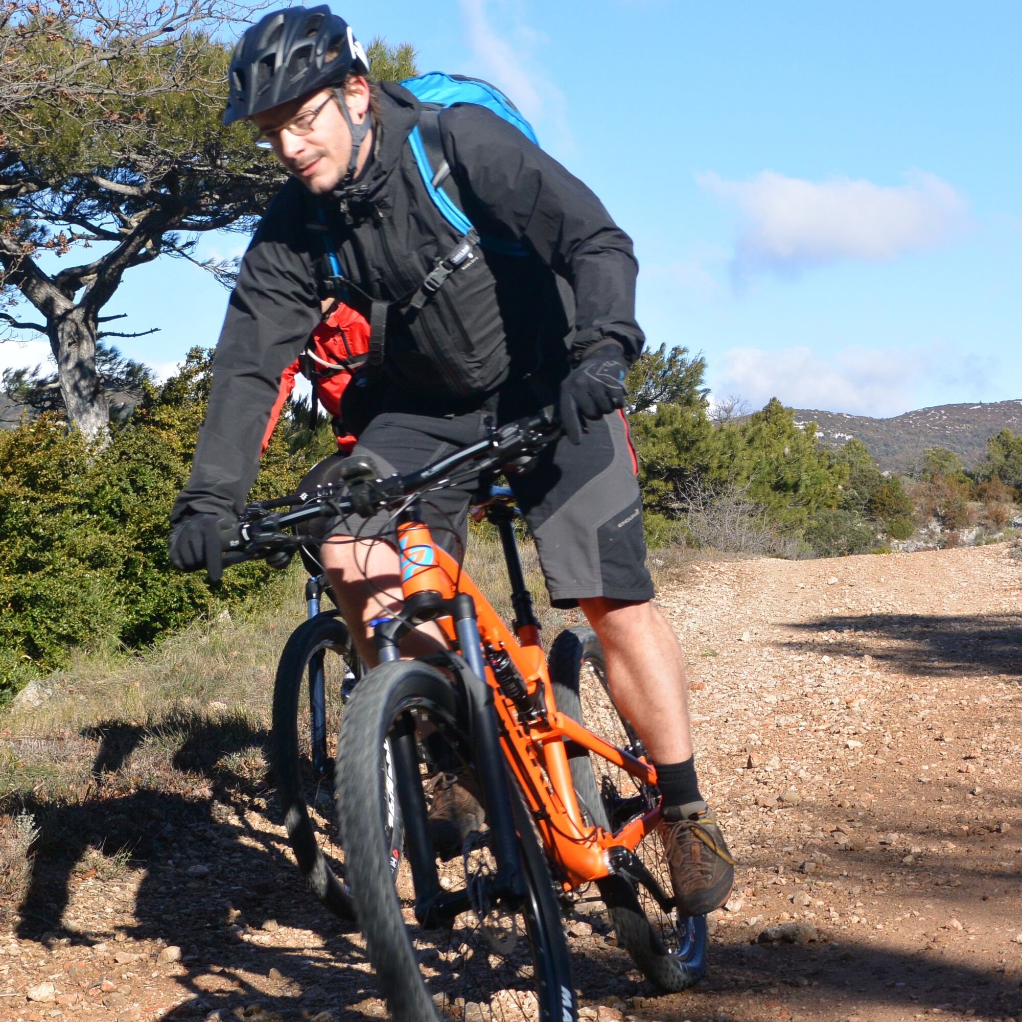
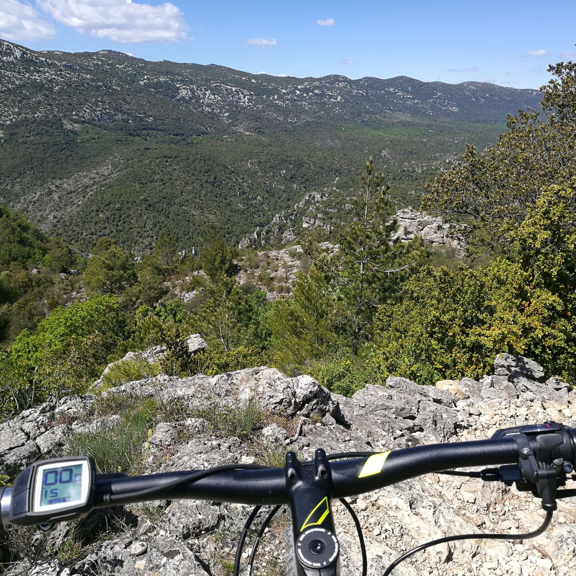
CIRCUIT THE COL DE LA CROIX DE FER - MTB-FFC AREA HÉRAULT VALLEY
The hills of Saint-Guilhem-le-Désert are located at the crossroads of the last ridges of the Massif Central and the alluvial plain of the Hérault river. The slopes surrounding these hills are planted with...
The hills of Saint-Guilhem-le-Désert are located at the crossroads of the last ridges of the Massif Central and the alluvial plain of the Hérault river. The slopes surrounding these hills are planted with vineyards. The nature of the soils and the exceptional sun exposure they benefit from have allowed the winemakers of this terroir to produce high-quality wines.
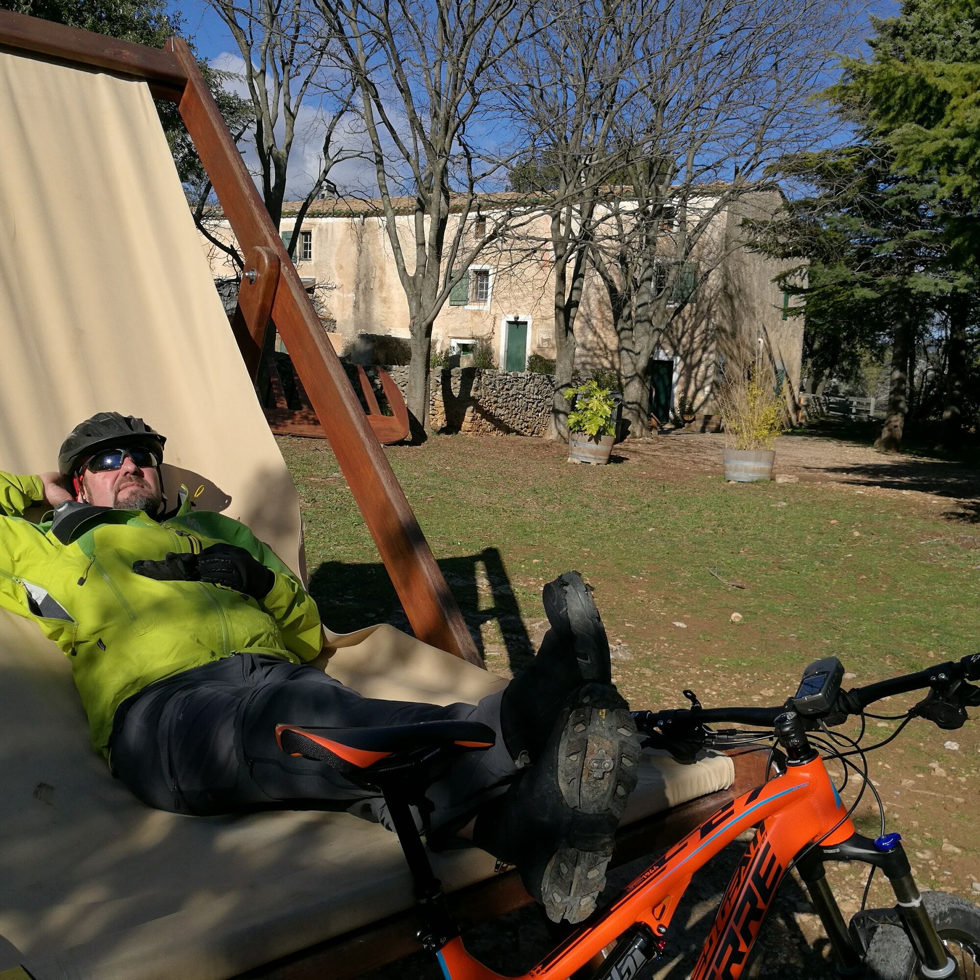
Warning, this route features significant elevation gain and is reserved for regular practitioners.

In case of emergency, dial 112
D9 Montpeyroux
D9 Montpeyroux
Yellow MTB markers
+33 4 67 57 58 83
Intercommunal Tourist Office Saint-Guilhem-le-Désert - Hérault Valley
MTB-FFC Website
Popularne wycieczki w okolicy
- 5,0
LES VAILHÉS HIKING TRAIL
średniWędrówka 9,28 km - 5,0
CIRCUIT N°1 LE LAC DU SALAGOU - ESPACE VTT-FFC DU SALAGOU
średniMountainbike 26,9 km - 4,0
CYCLE LOOP No.4 - THE HÉRAULT GORGES AND THE COL DES LAVAGNES
średniJazda na rowerze 53,3 km RANDONNEE DE PEYRE MARTINE
średniWędrówka 15,4 kmHIKING OF THE FENESTRETTES
średniWędrówka 10,4 kmTRAIL OF THE TOUR OF LAKE SALAGOU (SHORES OF CLERMONT) - GR® OF THE REGION BETWEEN 2 LAKES Avène – Salagou
średniTrailrunning 25,6 kmHIKING OF THE BALCONIES OF THE HERAULT
średniWędrówka 17,9 kmTOUR DU LAC DU SALAGOU HIKE - GR® DE PAYS ENTRE 2 LACS AVÈNE - SALAGOU
średniWędrówka 36,3 kmMONT SAINT-BAUDILLE HIKE
średniWędrówka 10,4 kmLA SERANNE PONTEL HIKE
średniWędrówka 17,5 km

Wędrówki i tropienie


Nie przegap ofert i inspiracji na następne wakacje
Twój adres e-mail została dodana do listy mailingowej.