


Rapoldeck - Panorama Trail & Ridge Trail


From the market square the trail leads to the parish church, to the Pöller junction and to the transmitter. Continue across the Loibnerwiese to a hunting lodge and at the end of the road near the Schrabachau,...
From the market square the trail leads to the parish church, to the Pöller junction and to the transmitter. Continue across the Loibnerwiese to a hunting lodge and at the end of the road near the Schrabachau, the trail leads somewhat steeper uphill to the ridge. On the right is the Schrabachauer Kogel (1,321m) and on the left the Rapoldeck (1,195m). Over the ridge we return to Weyer.
Trail number: E84, E21


The trail leads from the market square, past the former Hotel Post up to the parish church and further to the Pöller junction and on the road Schroff to the bend at the transmitter. The path continues across the Loibnerwiese to a hunting lodge. At the end of the road at Schrabachau, the path leads across the meadow somewhat steeper uphill to the ridge.
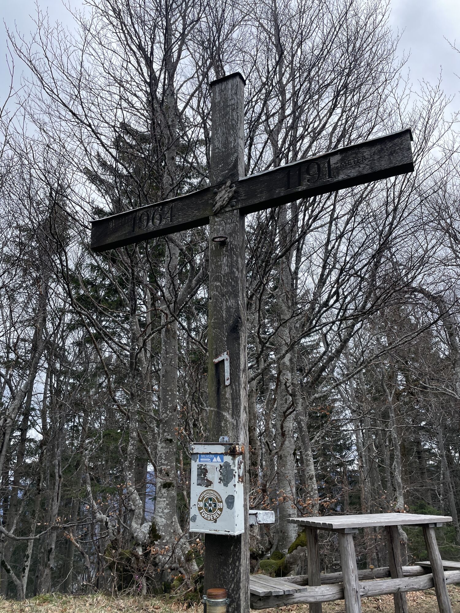
At the ridge, turn right to the Schrabachauer Kogel (1,321 m) and left to the Rapoldeck (1,195 m). The path goes back over the summit of the Rapoldeck to Weyer.
Wonderful panoramic views reward the somewhat arduous climb.
Tak
From Salzburg/Linz: A1 motorway exit Enns-Steyr > B115 into the Enns Valley
From Vienna: A1 motorway exit Haag > B42 > B122 > B115 into the Enns Valley
From Passau: A8 Passau > Wels > A1 motorway exit Enns-Steyr > B115 into the Enns Valley
From Graz: A9 Pyhrnautobahn > motorway exit Klaus > Grünburg > into the Ennstal Valley
The Ennstalbahn runs between Linz and Weißenbach-St. Gallen.
Details at www.ooevv.at
Railway Stations are located in Steyr, Garsten, Lahrndorf, Dürnbach, Ternberg, Trattenbach, Losenstein, Reichraming, Großraming, Gaflenz, Weyer, Küpfern, Kastenreith, Kleinreifling and Weißenbach-St. Gallen.
Wonderful panoramic views reward the somewhat arduous climb.
Popularne wycieczki w okolicy
- 4,8
Ennser Hütte - Almkogel (via parking Bamacher)
średniWędrówka3,53 km - 4,7
GROSSRAMING Bamacher, Burgspitz, Almkogel, Ennshütte 20240730
średniWędrówka10 km - 4,6
Opponitzer Schluchtenwanderweg
światłoWędrówka4,42 km - 4,0
Ennser Hütte, Stallburgalm, Burgspitz, Almkogel
średniWędrówka11,6 km - 3,8
wanderung auf den alpl
średniWędrówka8,18 km - 3,0
Ennser Hütte - Almkogel (from Großraming railway station)
średniWędrówka9,33 km - 4,6
Burgspitz, Almkogel, Wieser, Langlackenmauer und zurück
średniWędrówka13,5 km - 4,2
Bodenwiesgipfel über Gratweg zur Schüttbaueralm
średniWędrówka13,2 km - 4,6
Gamsstein (1275m) und Gschwendtalm ab Parkplatz Brunnbach
średniWędrówka7,37 km - 4,6
Hintergebirgsrunde over the Hirschkogel mountain
światłoJazda na rowerze45,5 km
Wędrówki i tropienie


Nie przegap ofert i inspiracji na następne wakacje
Twój adres e-mail została dodana do listy mailingowej.