


Schoberstein (via Schreibachfall and Mandlmais)
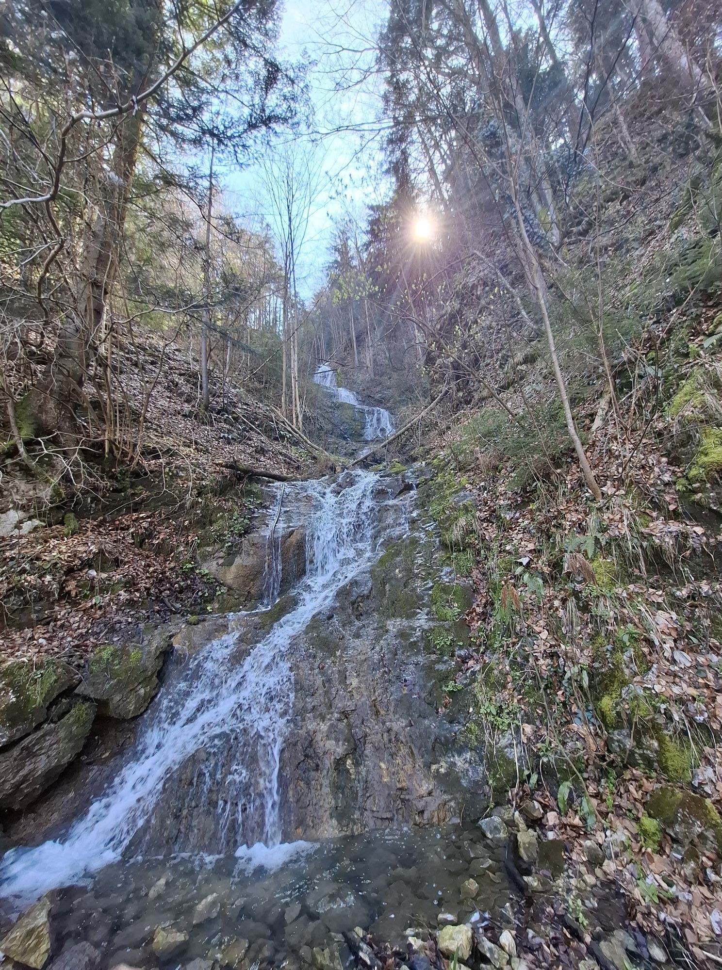
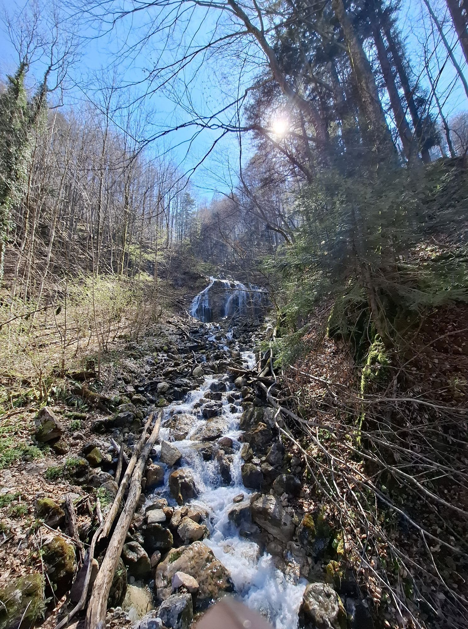


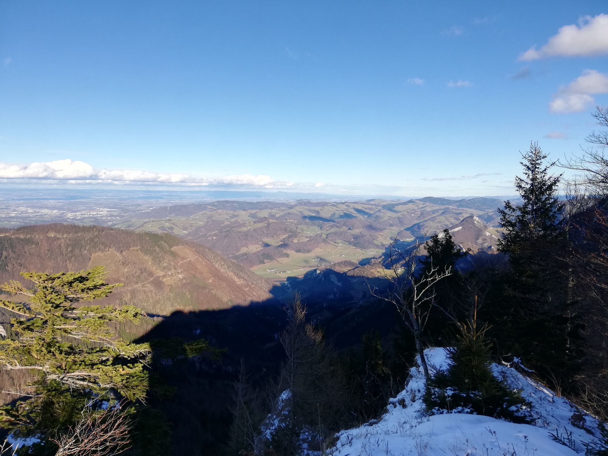
From the Alpengasthof Klausriegler, the path leads relatively flat via the forest road to the Schreibachfall, then uphill via the Mandlmais Chapel and the Schinder to the Schobersteinhaus and to the Schoberstein.
...From the Alpengasthof Klausriegler, the path leads relatively flat via the forest road to the Schreibachfall, then uphill via the Mandlmais Chapel and the Schinder to the Schobersteinhaus and to the Schoberstein.
Hiking trail: E77, 21

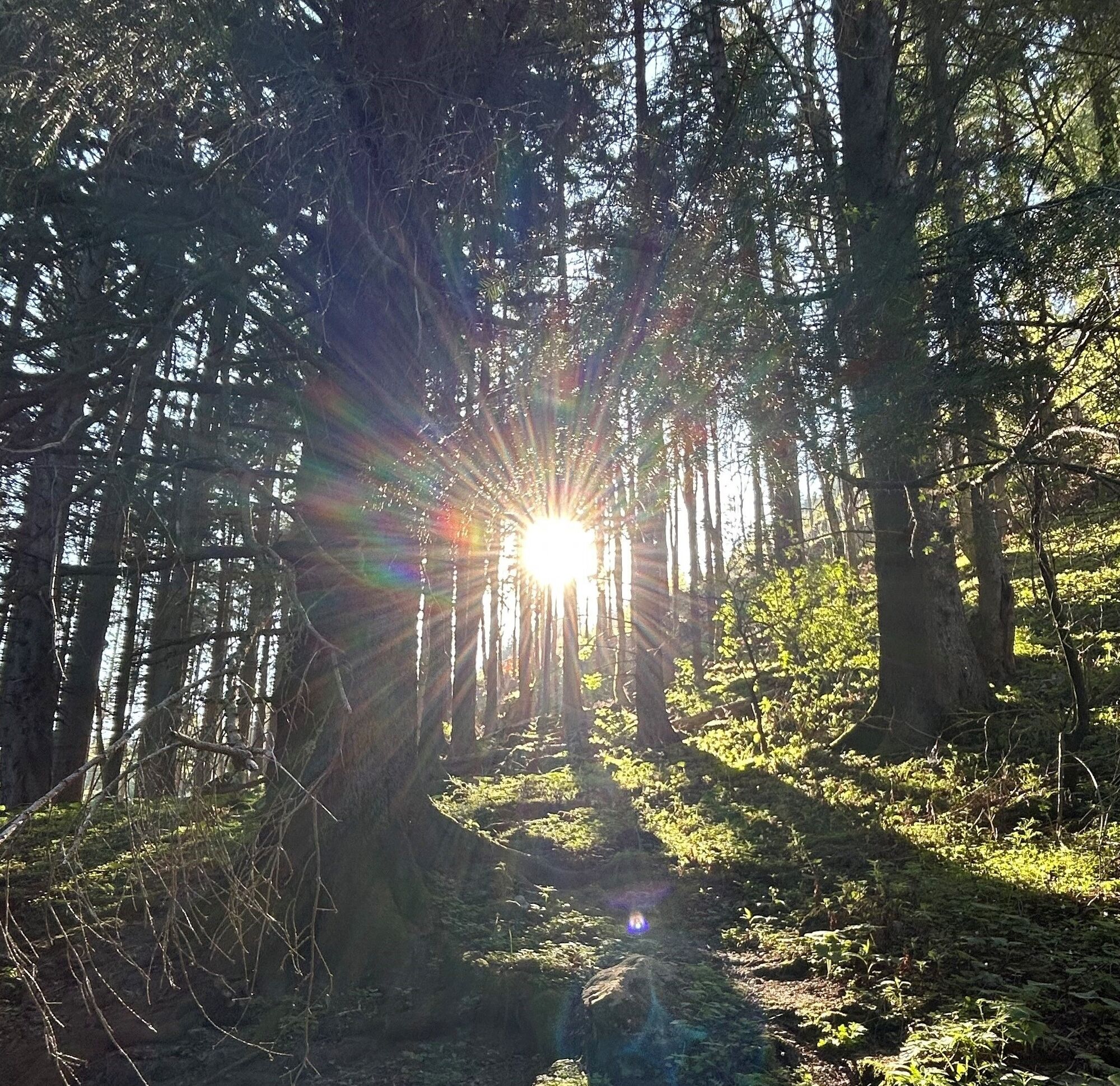
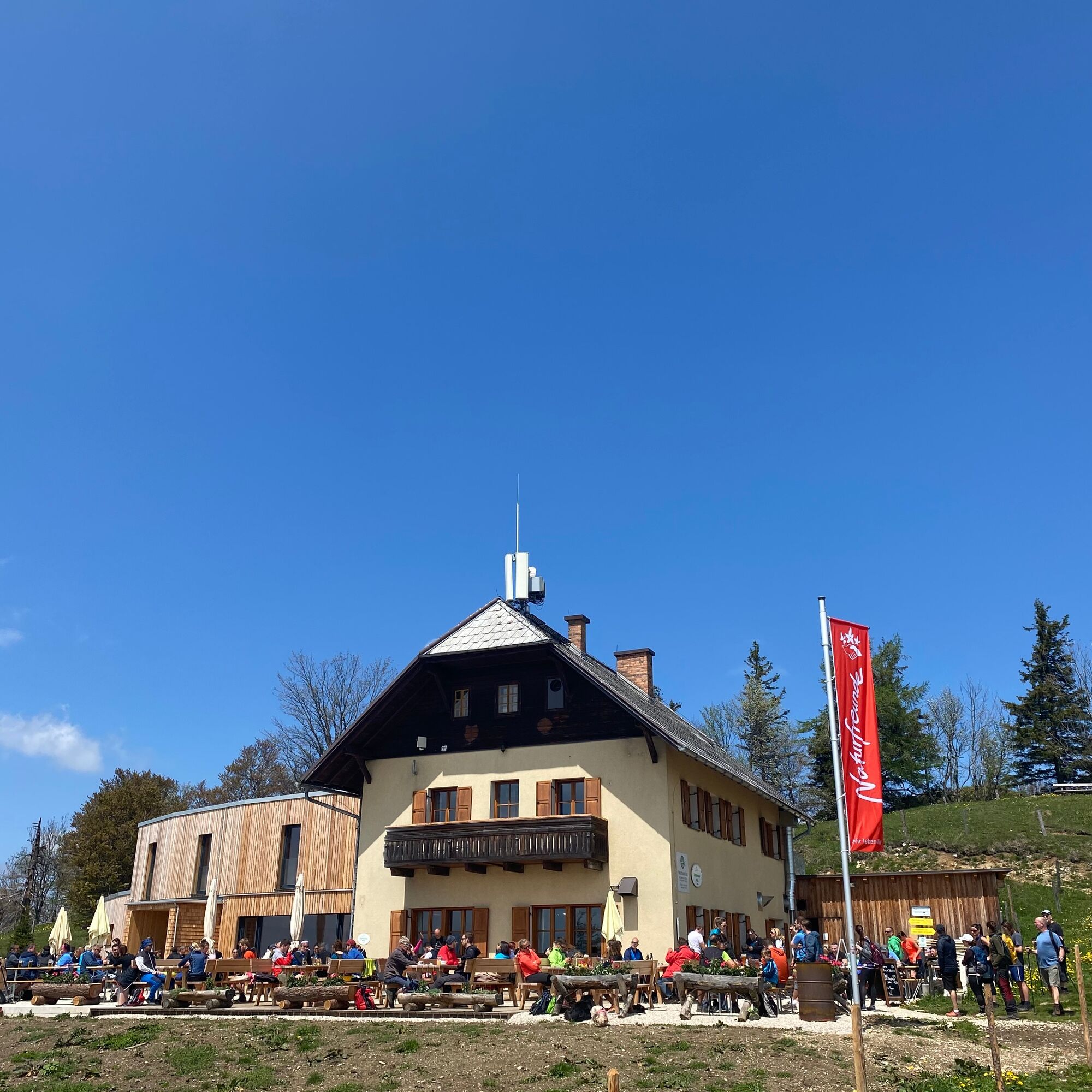
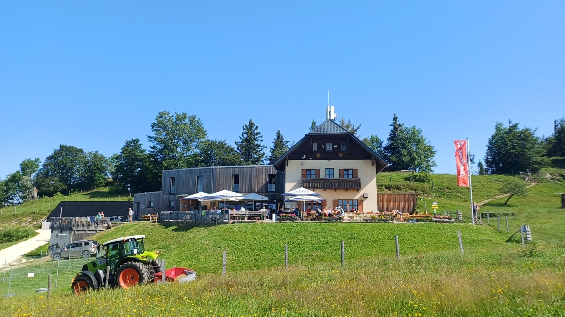
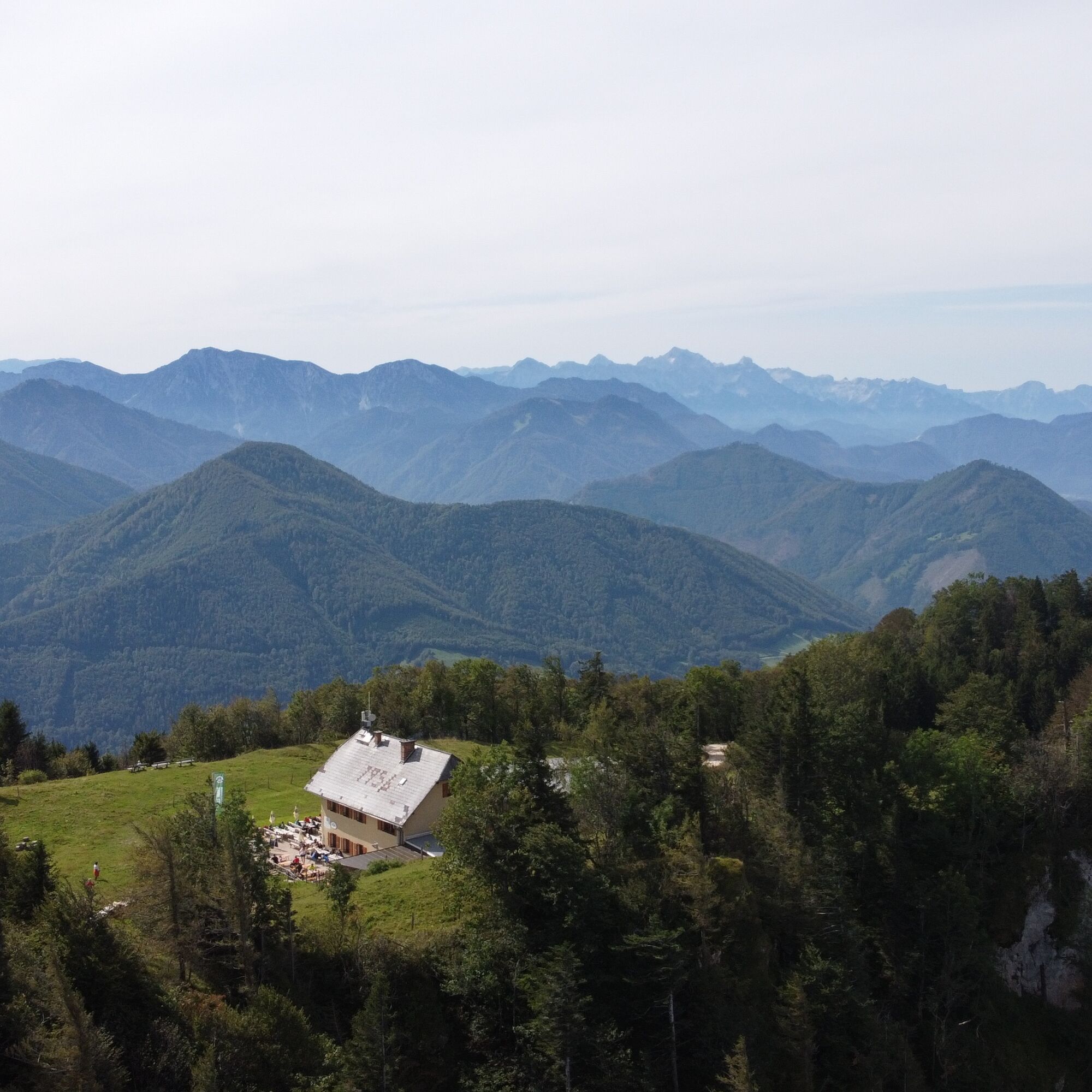
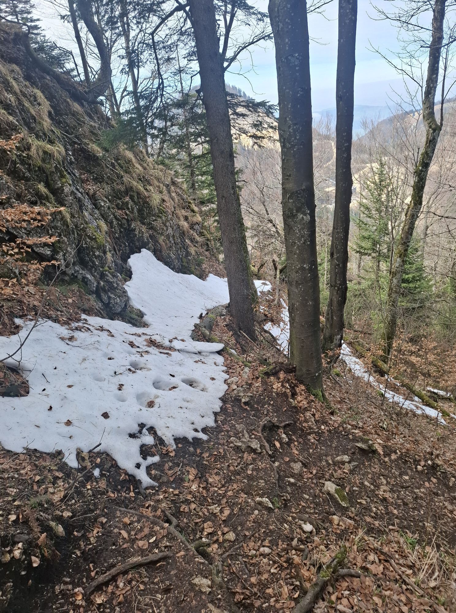
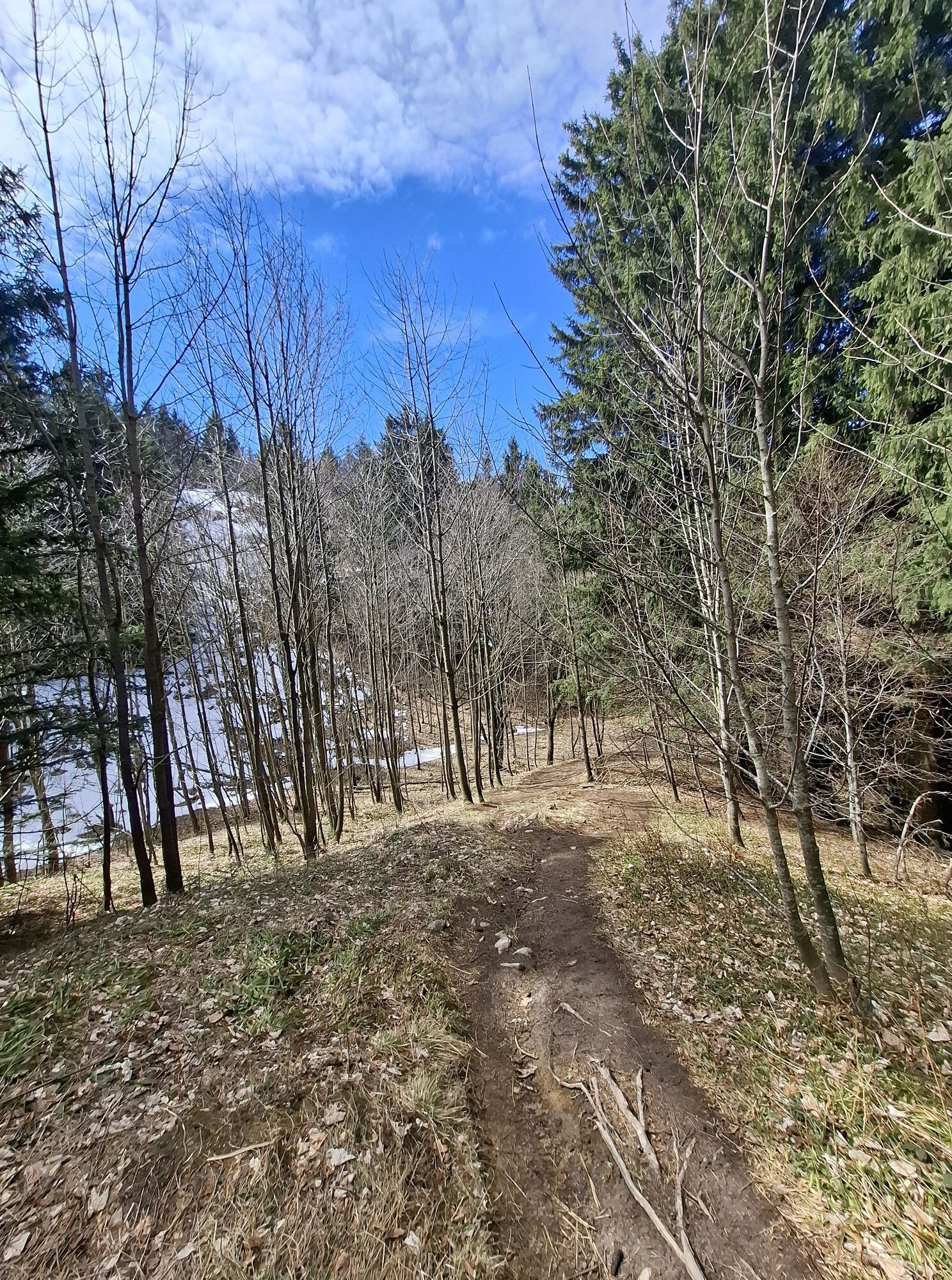
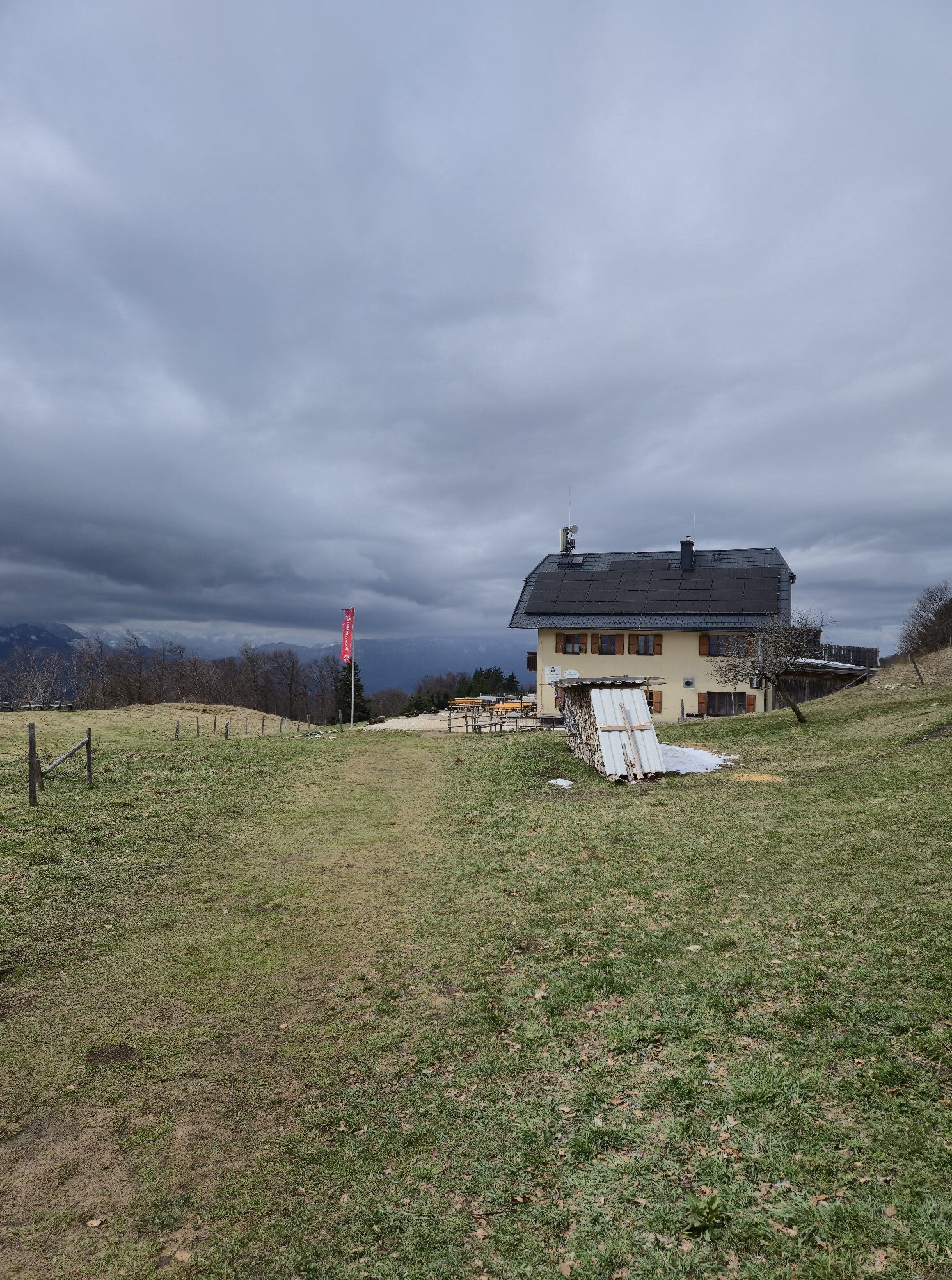
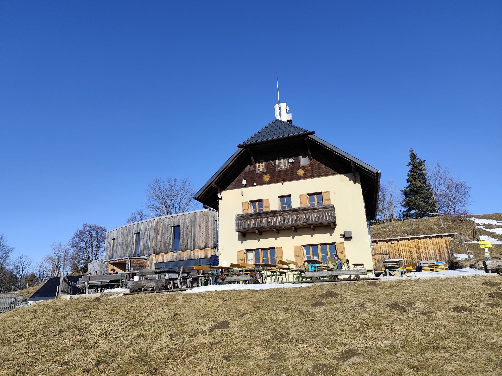
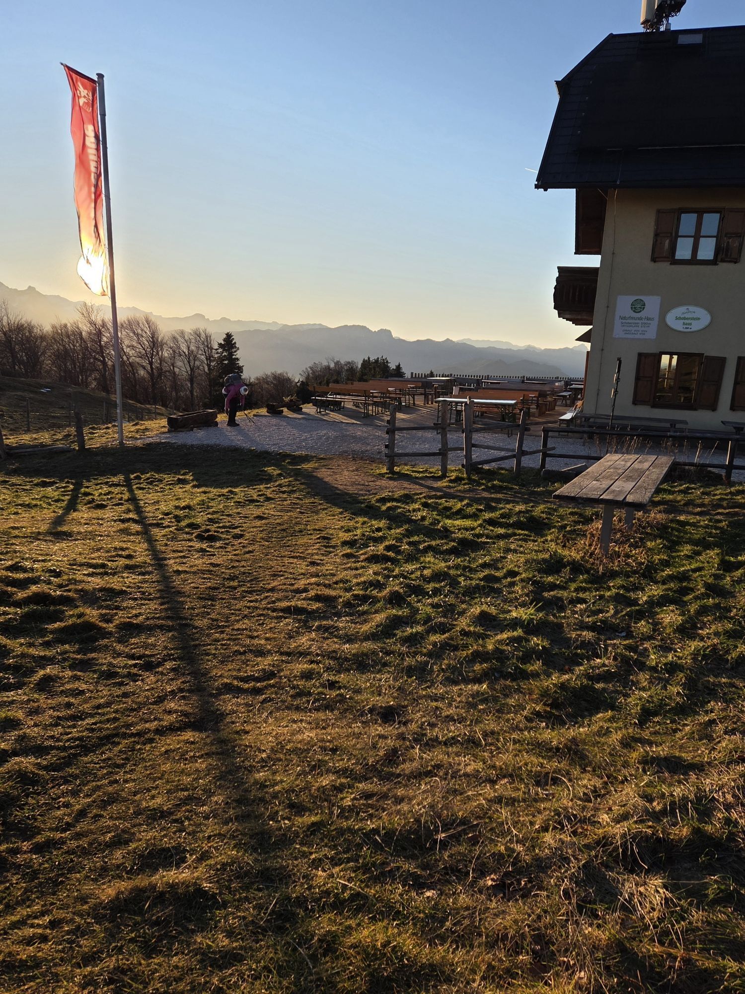
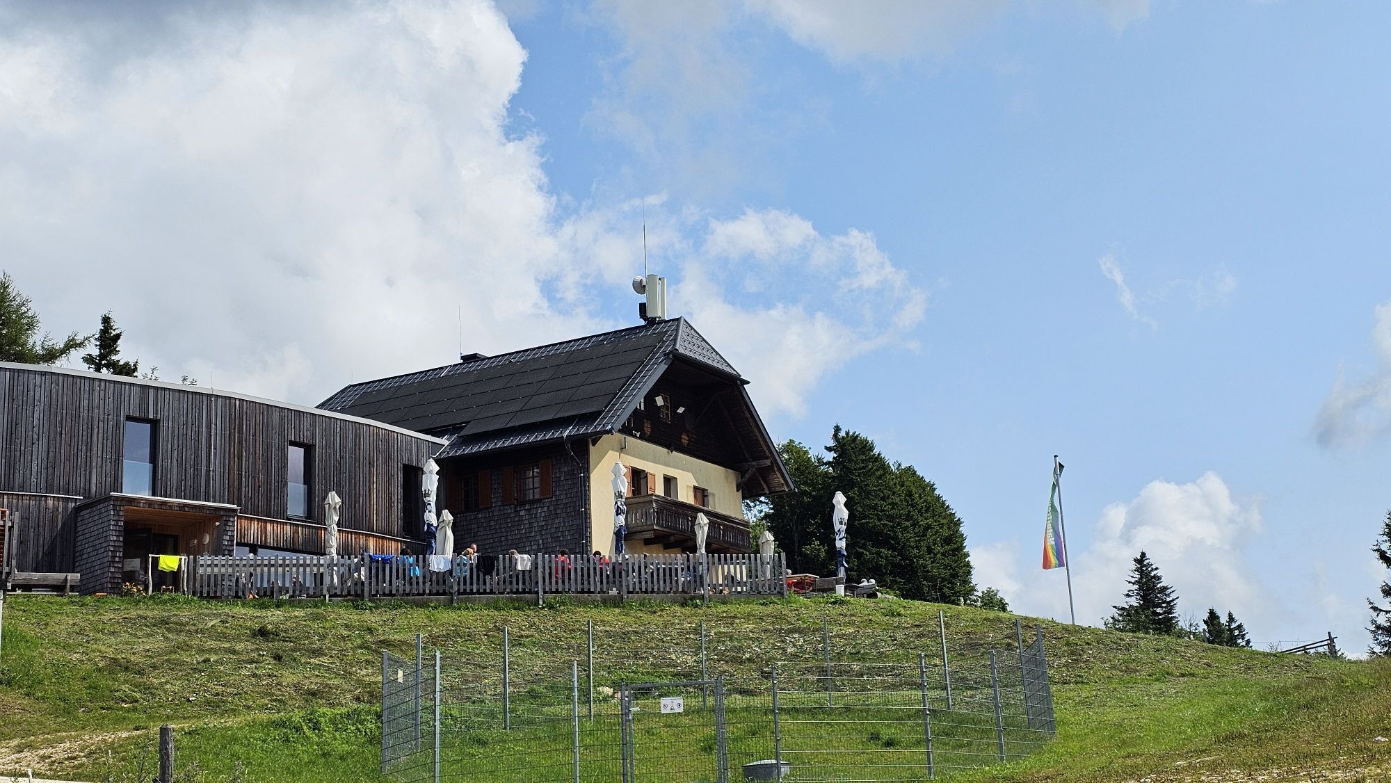
From the Alpengasthof Klausriegler, trail E77 leads via the forest road to the Schreibachfall. It then continues uphill and further via the Mandlmais Chapel to the Schobersteinhaus (1,260 m). On the last part, you can choose between the forest road and a beautifully laid out hiking trail.
Variants:
Extension to the Grünburger Hut via hiking trail 480a or 483.
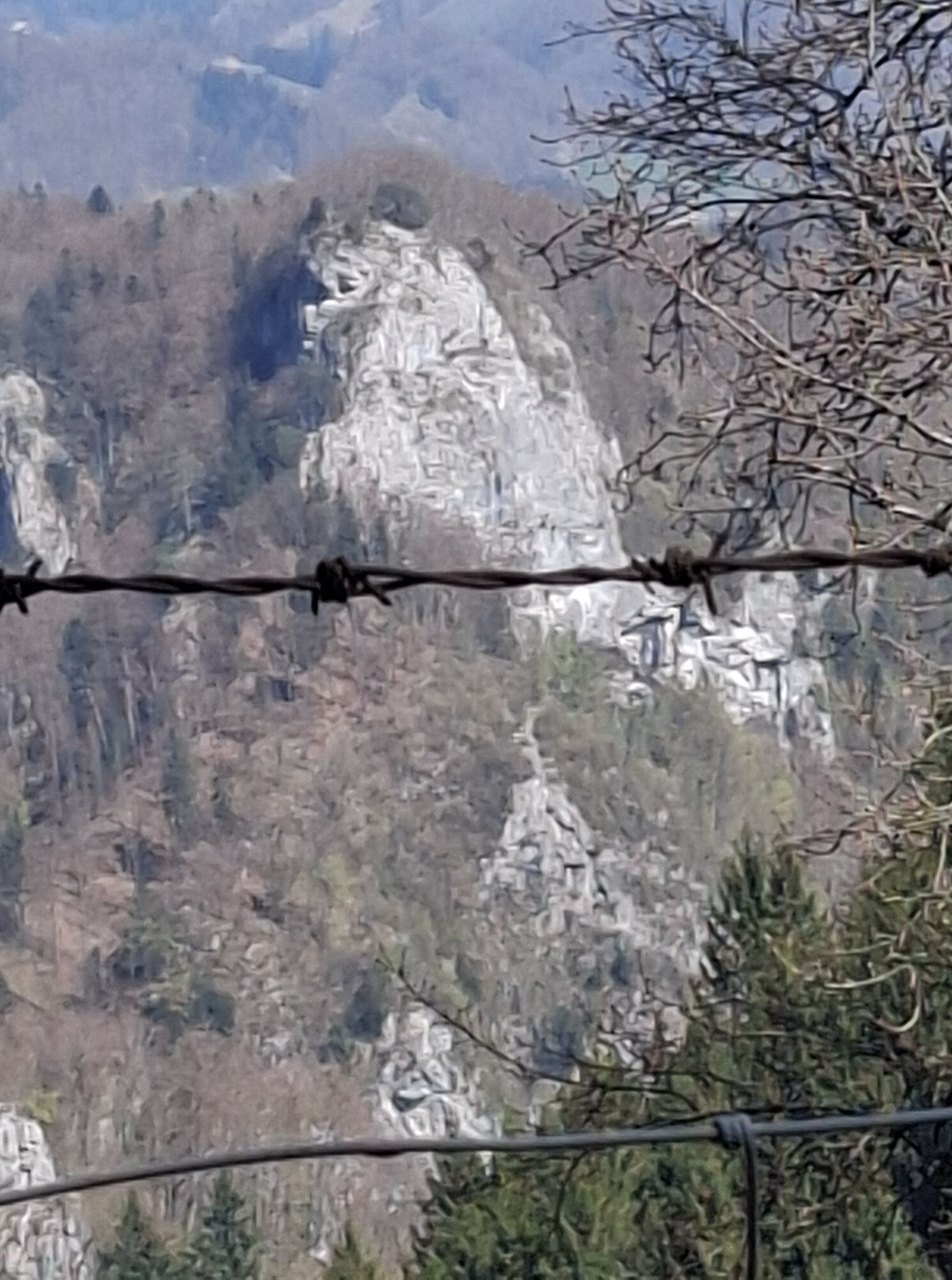
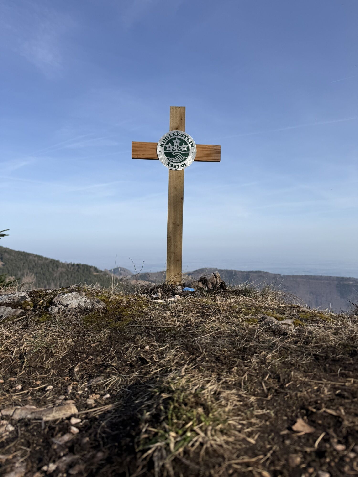
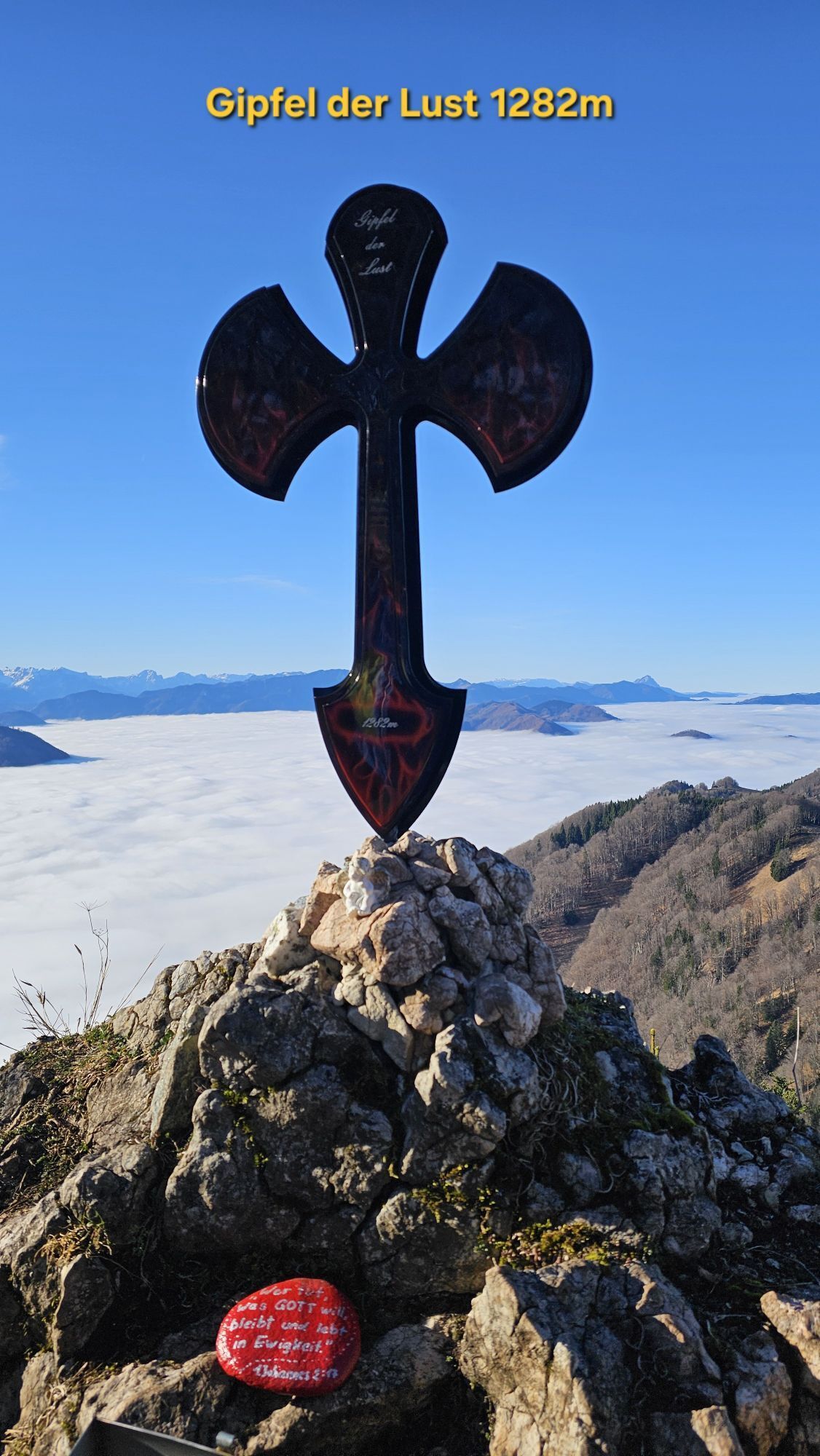
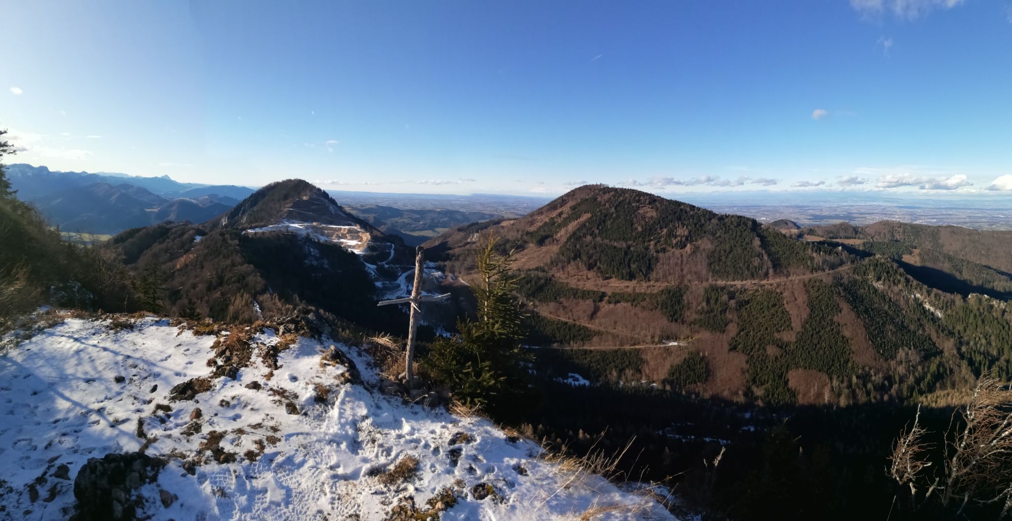
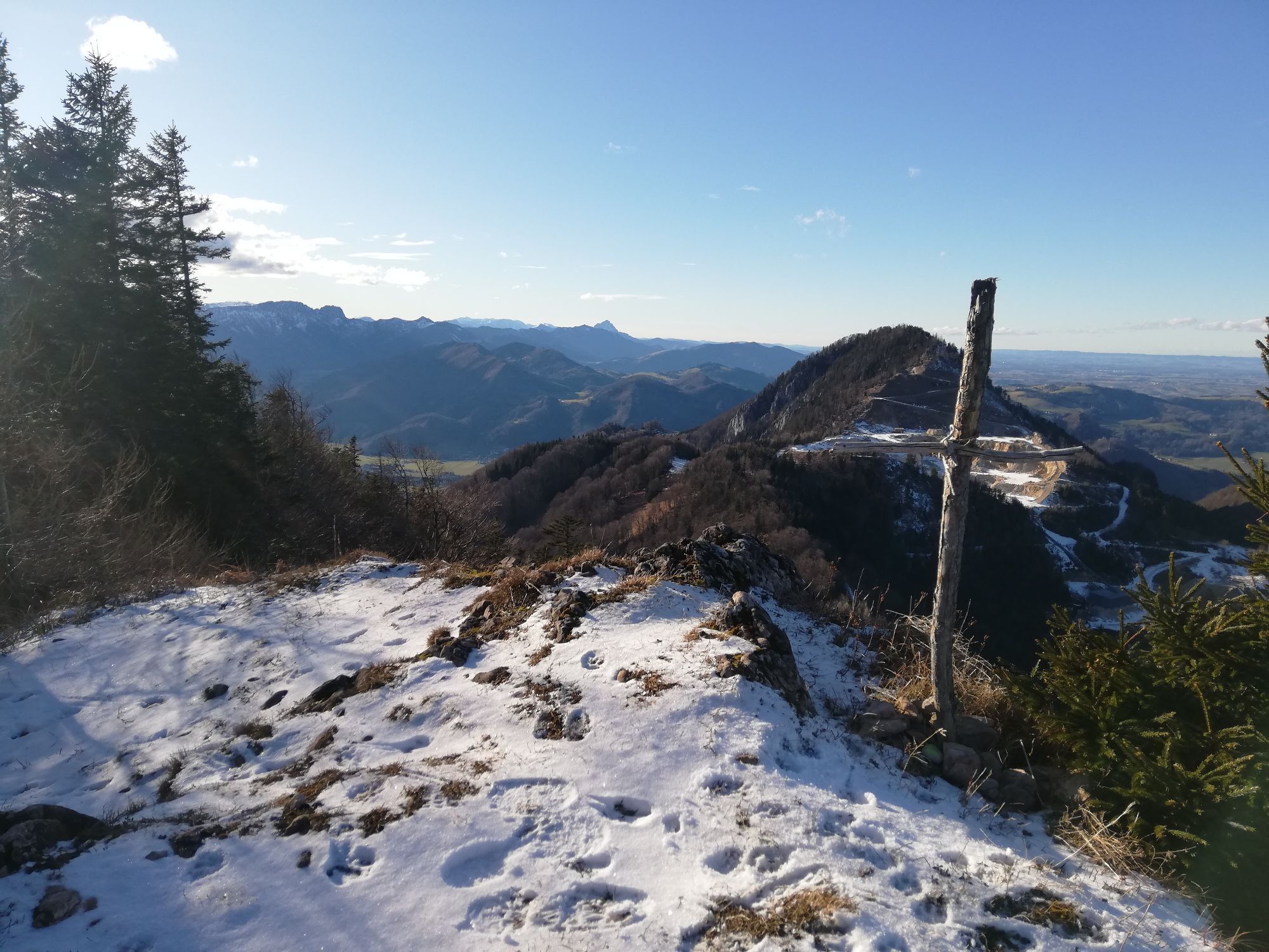
Return via the Schoberstein summit (1,285 m) on trail 481 (quite challenging because it is partially quite steep).
Tak
Tak
From Vienna: A1 motorway exit Haag > B42 > B122 > B115 into the Enns Valley
From Passau: A8 Passau > Wels > A1 motorway exit Enns-Steyr > B115 into the Enns Valley
From Graz: A9 Pyhrnautobahn > motorway exit Klaus > Grünburg > into the Ennstal valley
Details at www.ooevv.at
Railway Stations are located in Steyr, Garsten, Lahrndorf, Dürnbach, Ternberg, Trattenbach, Losenstein, Reichraming, Großraming, Gaflenz, Weyer, Küpfern, Kastenreith, Kleinreifling and Weißenbach-St. Gallen.
Trattenbach/Alpengasthof Klausriegler - toll required, but you get a token for the exit when you make a purchase.
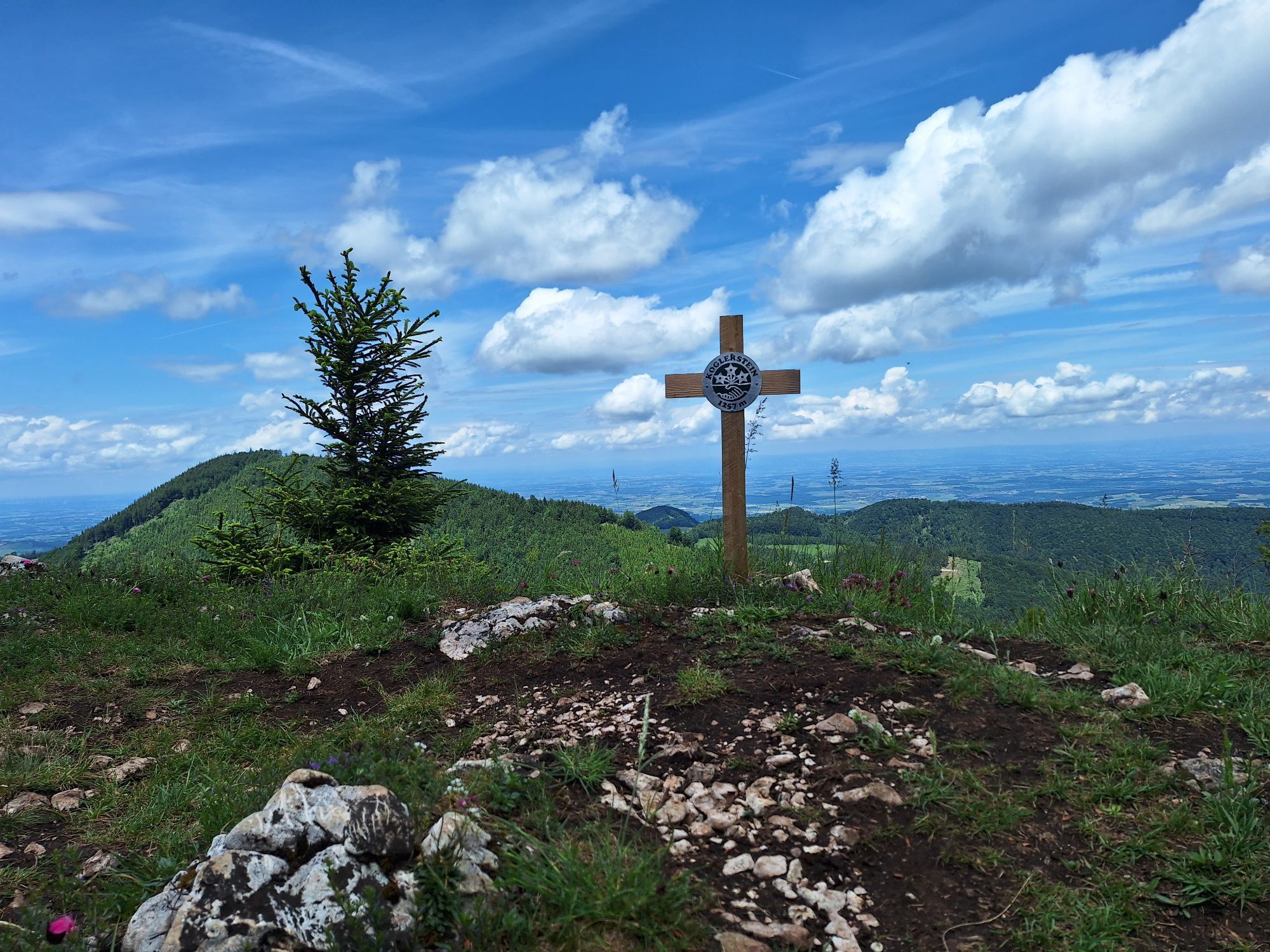
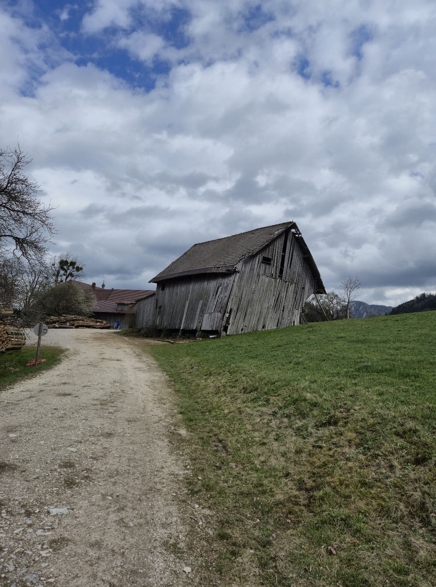
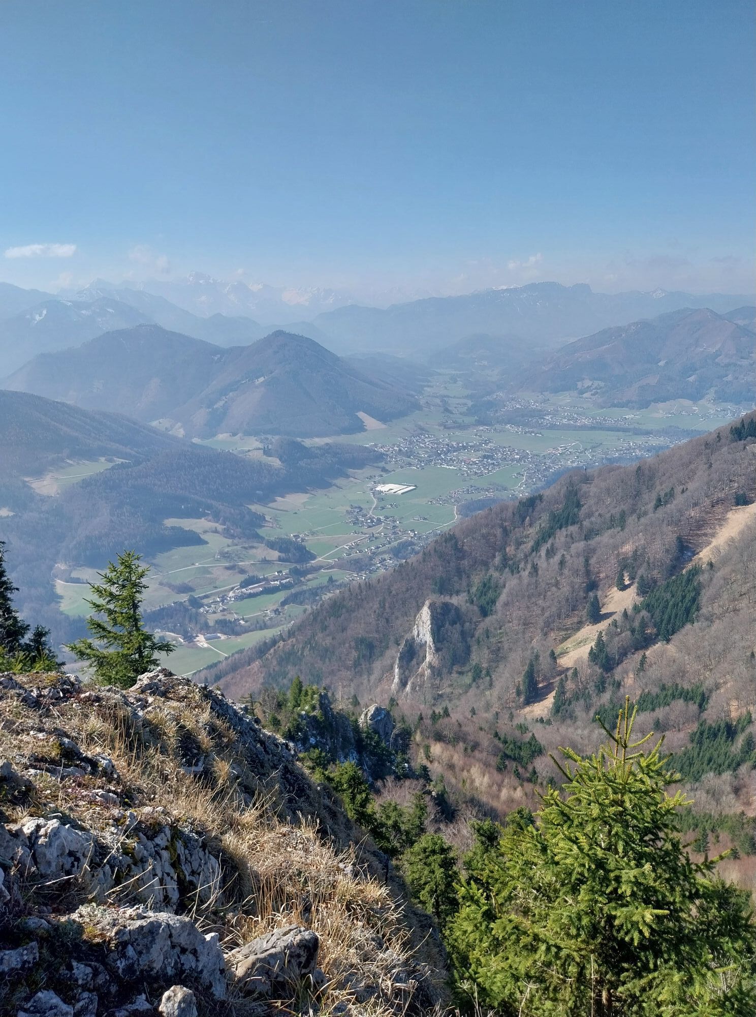
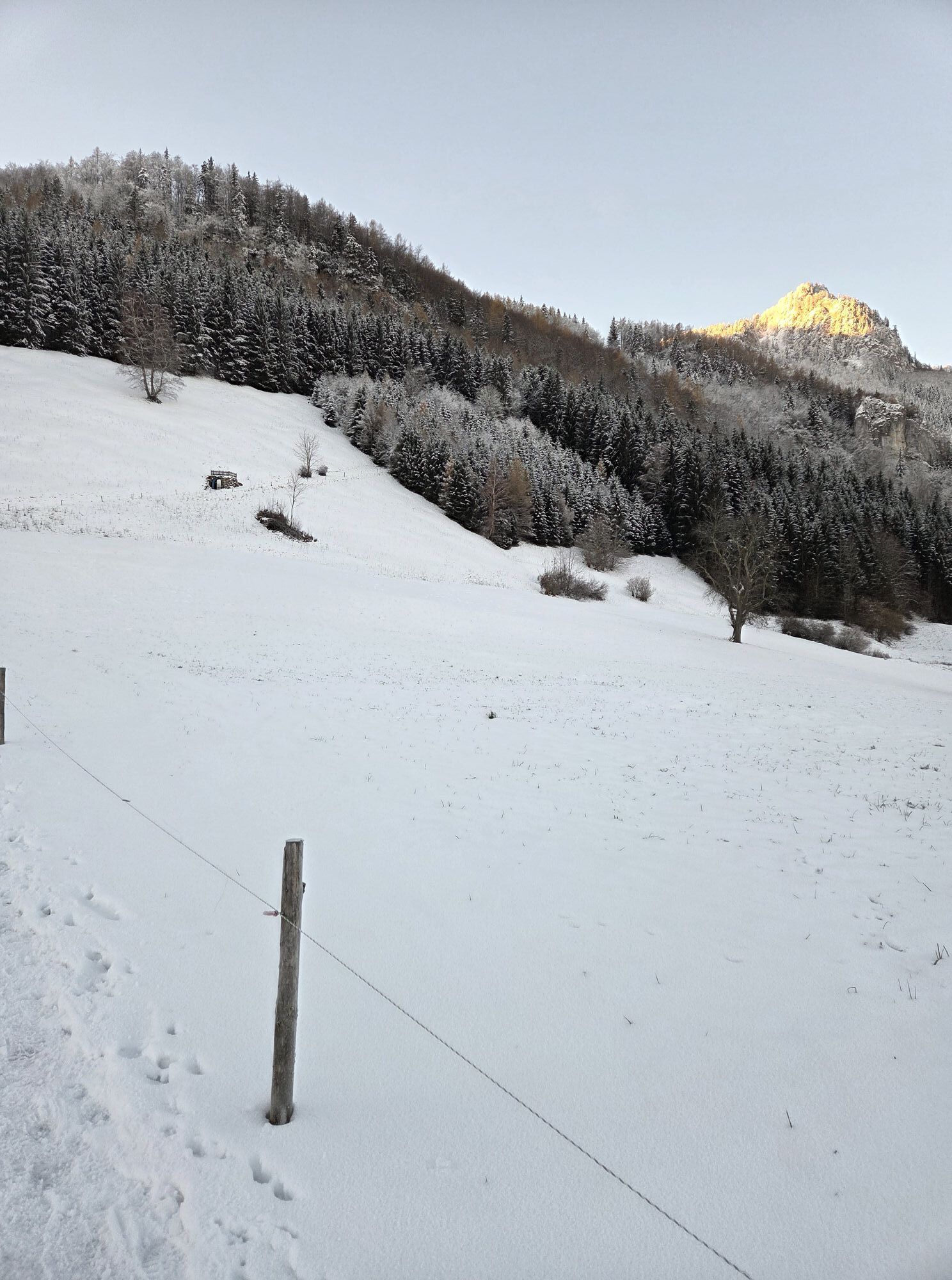
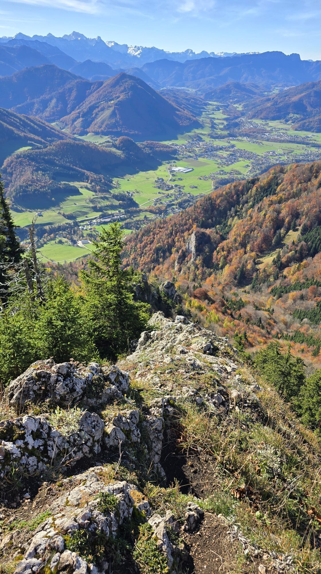
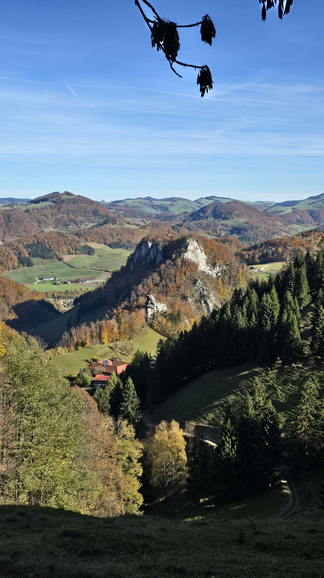
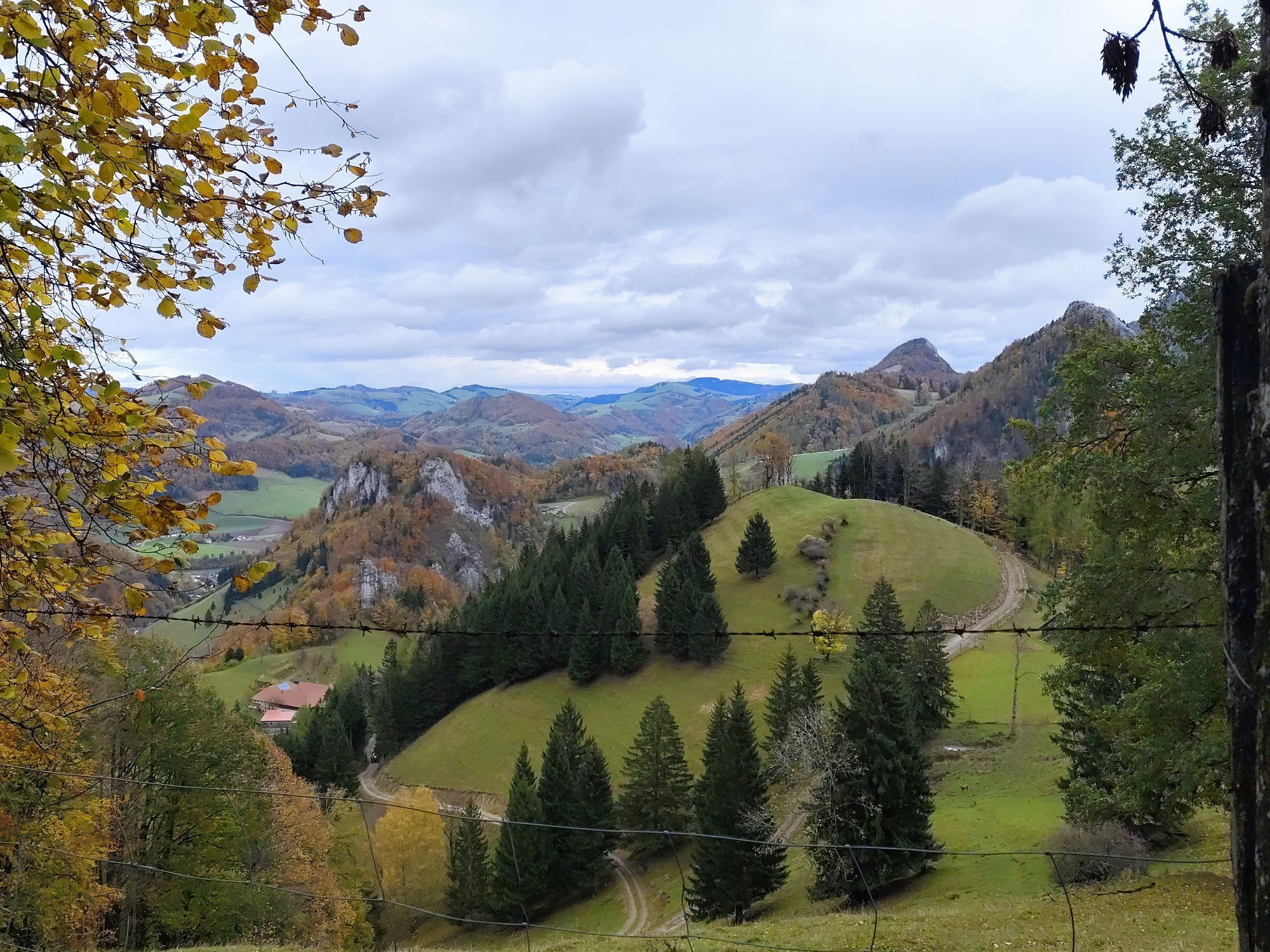
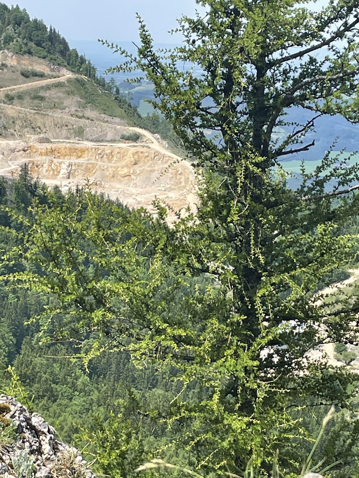
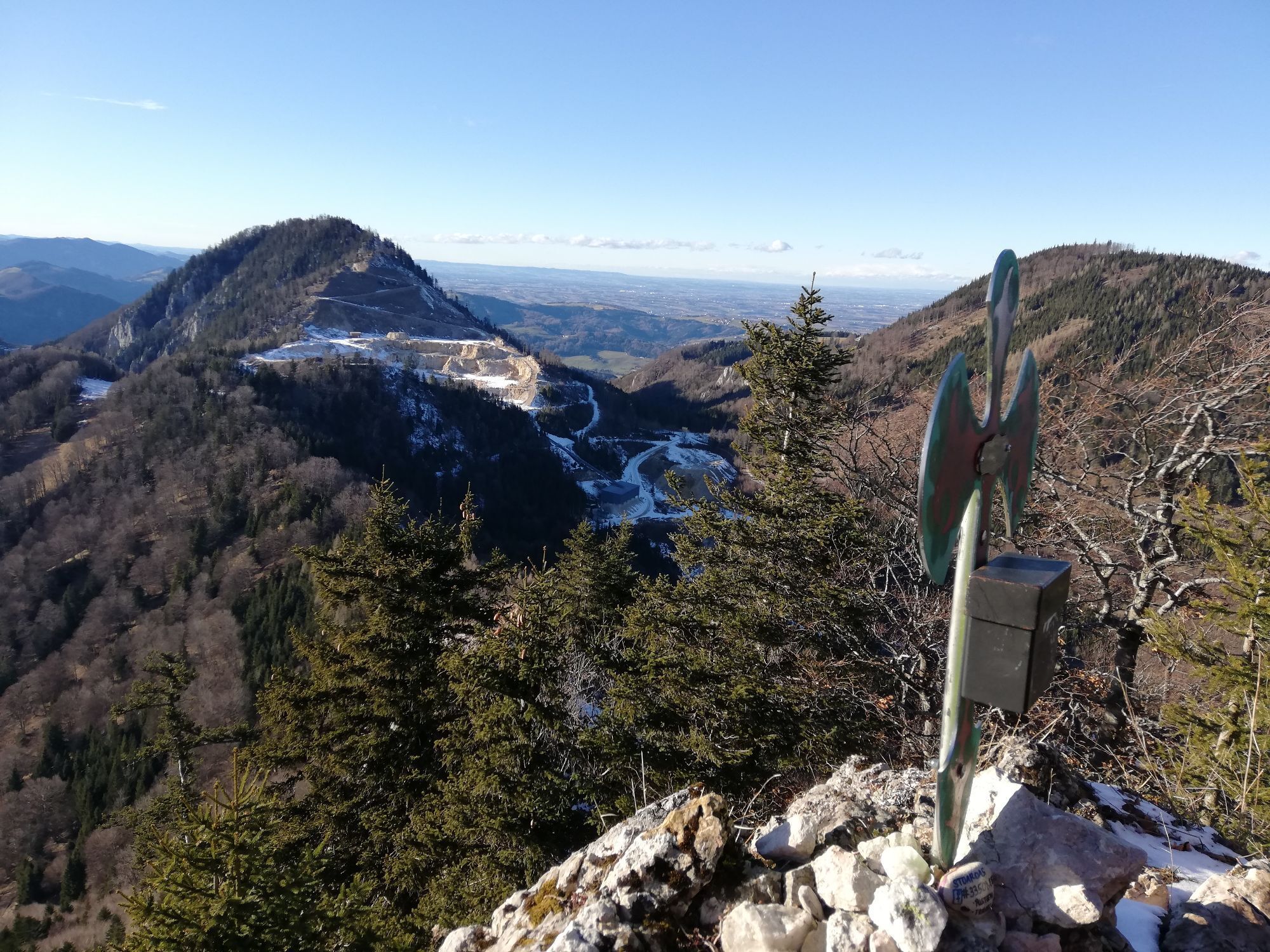
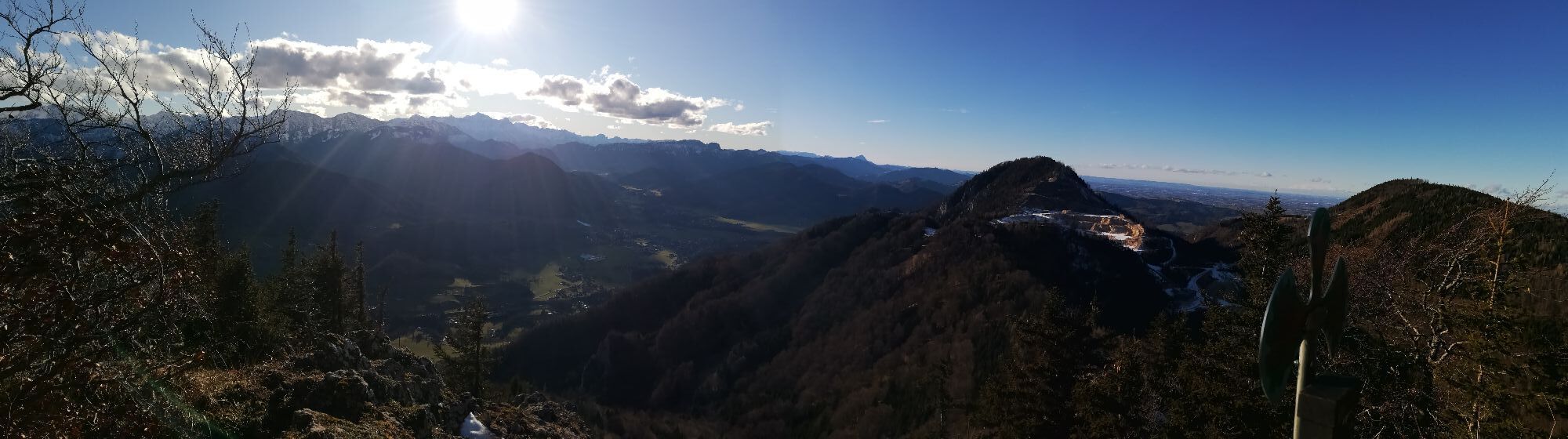
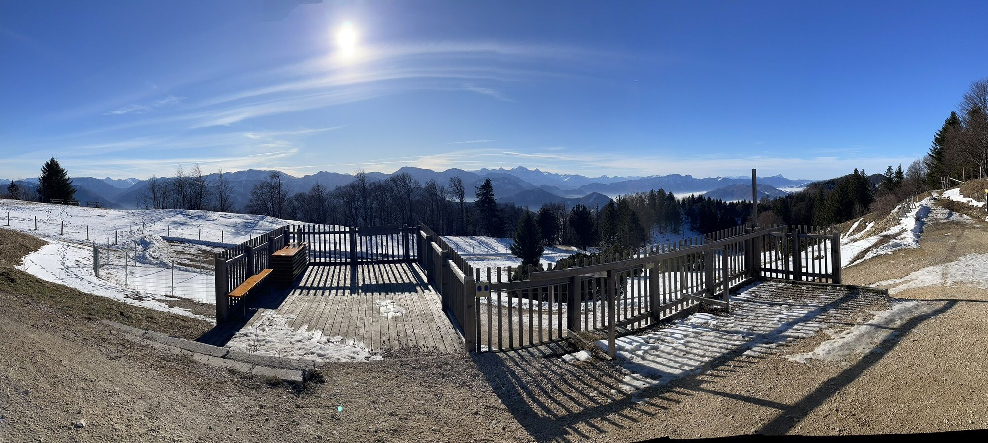
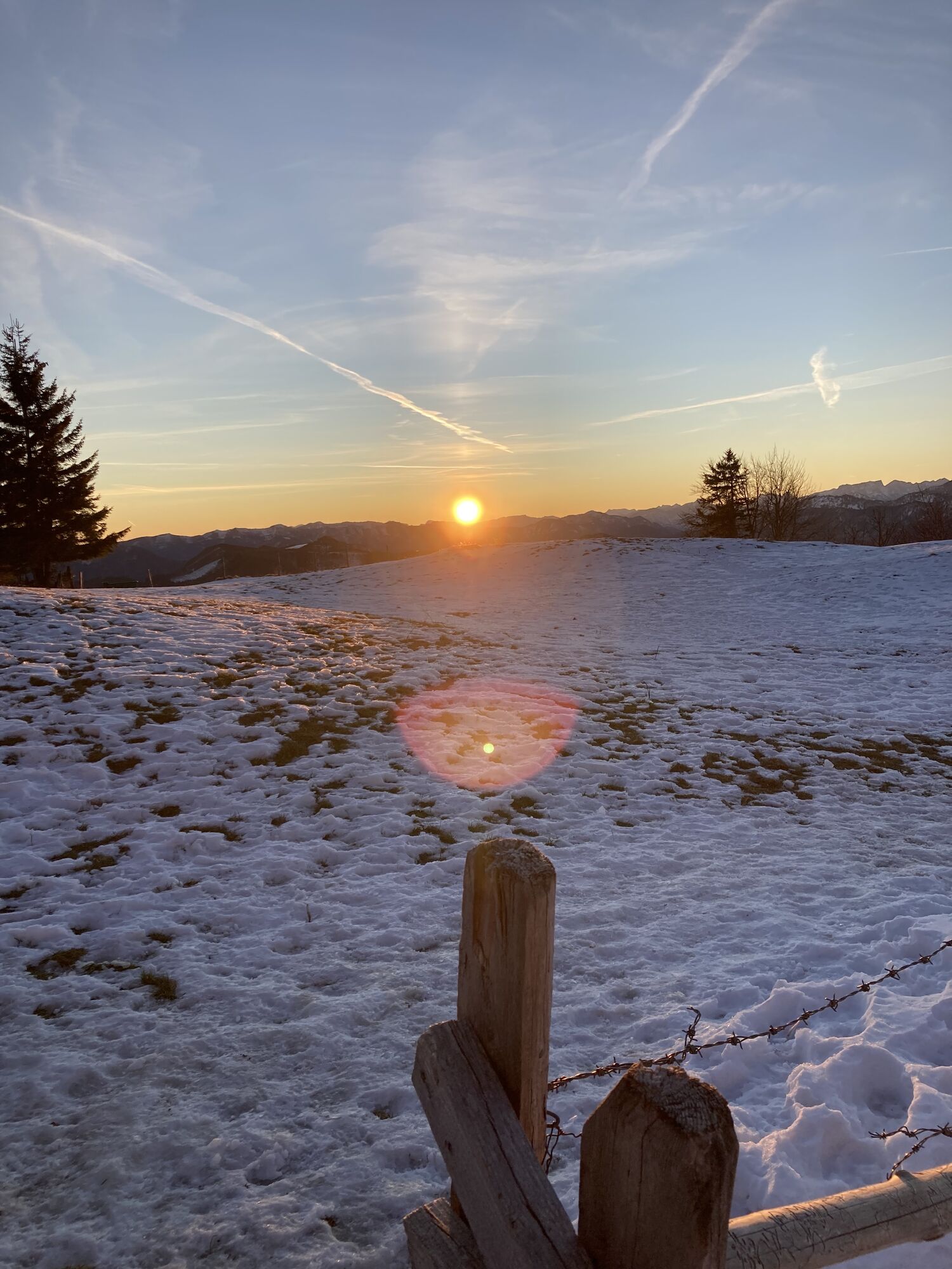
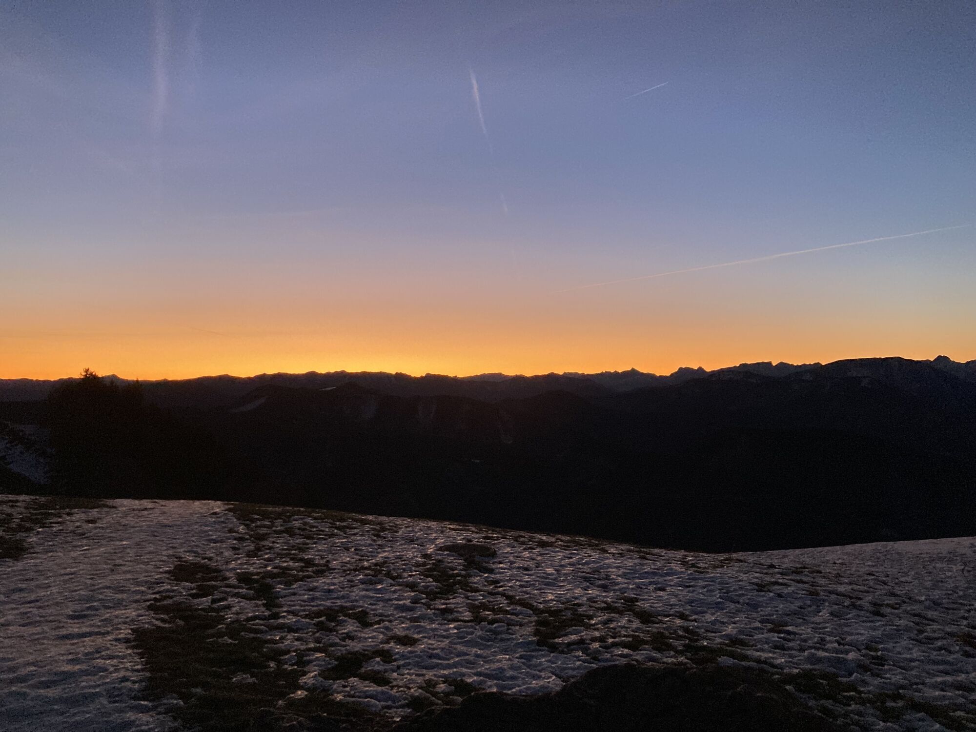
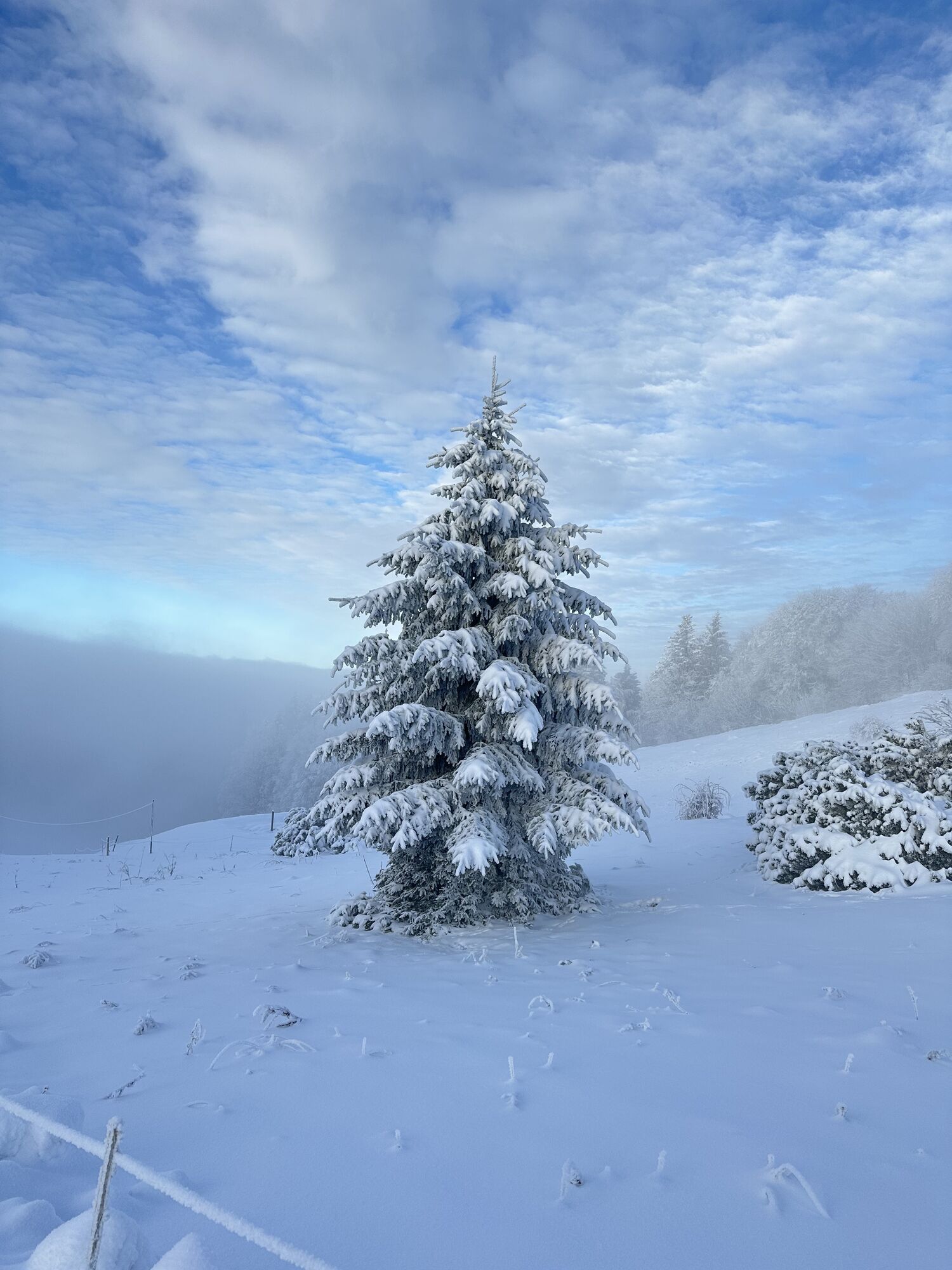
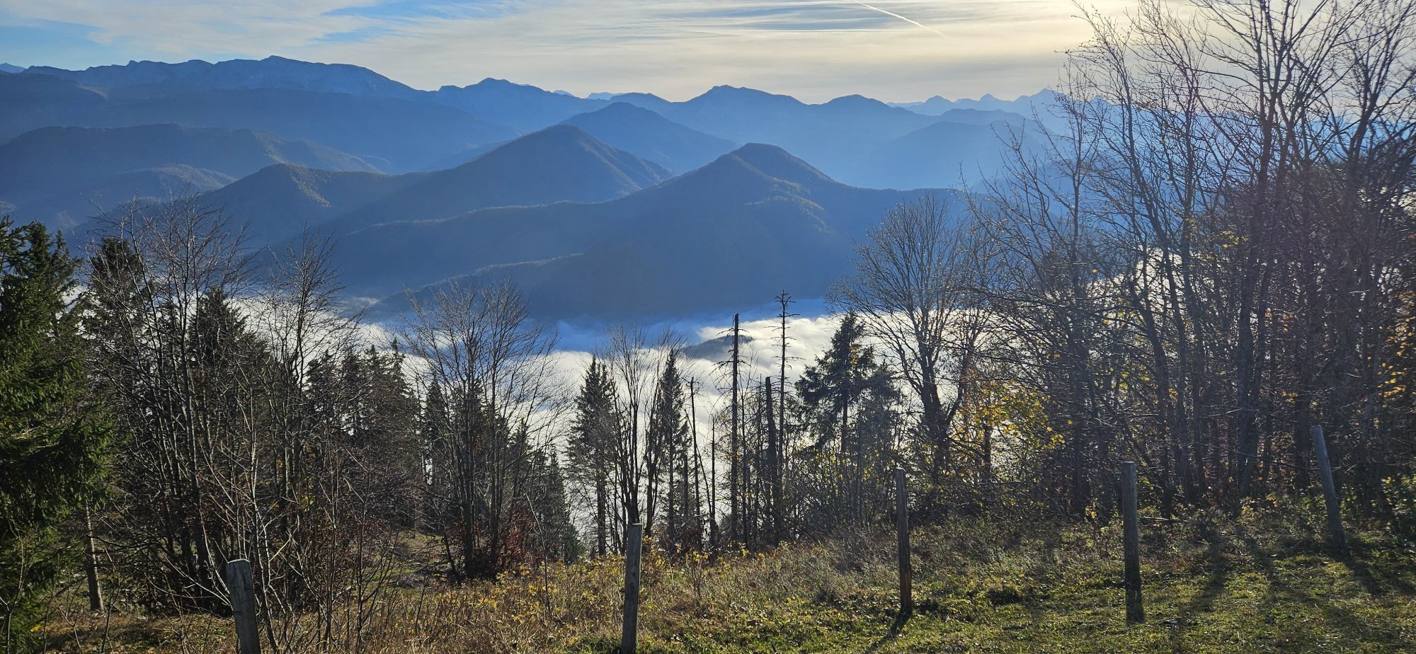
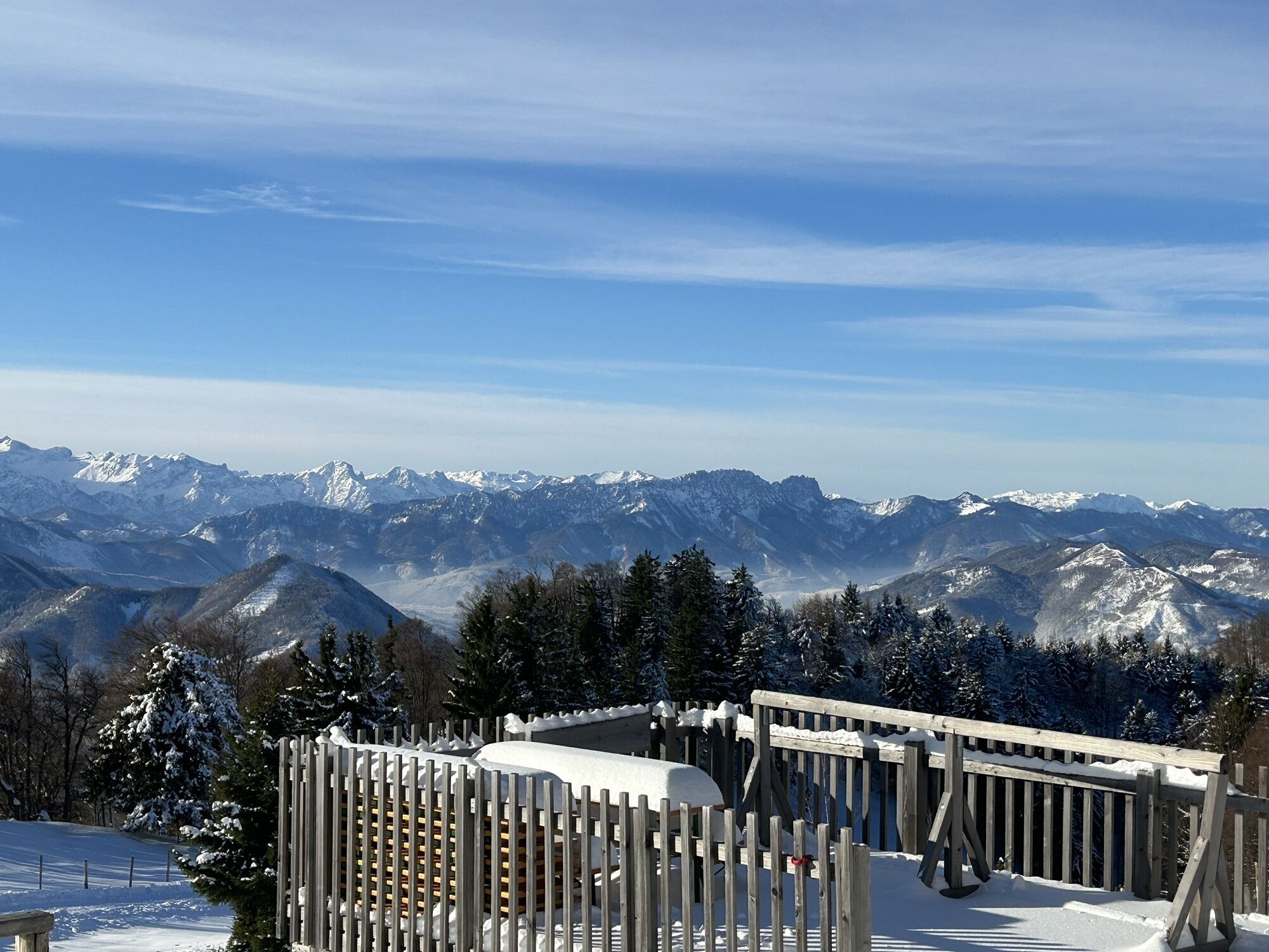
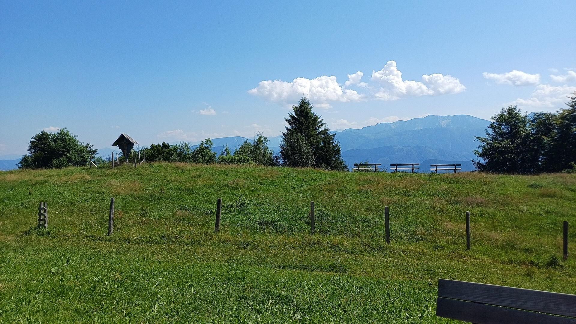
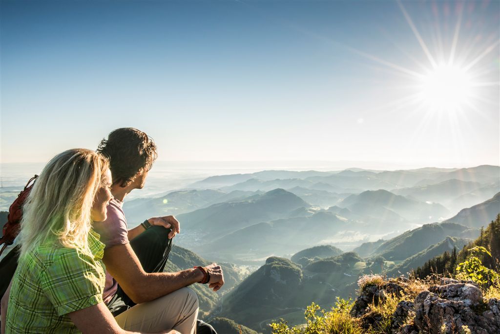
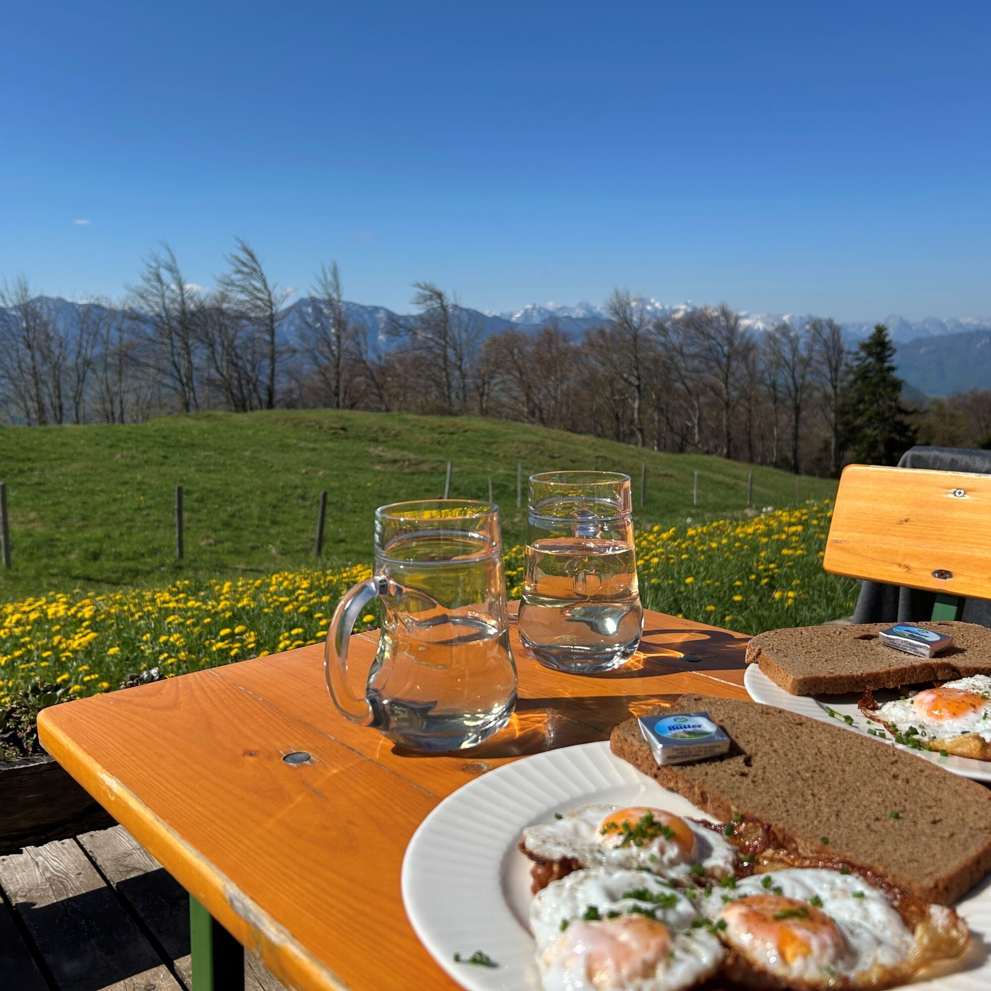
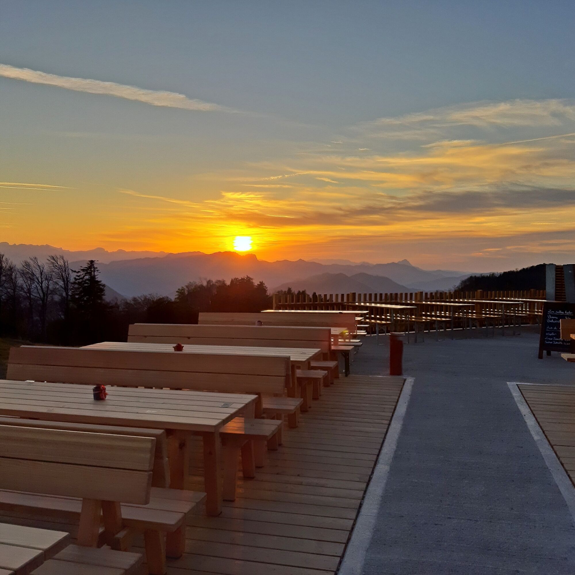
Many paths lead to the Schobersteinhaus and they can be combined into extensive circular hikes with magnificent views.

Popularne wycieczki w okolicy
- 4,7
Bergwanderung auf den Spering
średniWędrówka 7,50 km - 4,7
Grünburger Hut via Dorngraben Molln
średniWędrówka 3,43 km - 4,6
Schoberstein (from Molln)
średniWędrówka 3,63 km - 4,8
Steinerner Jäger (1185m) und Schieferstein (1206m) ab Parkplatz Hochhabichler
średniWędrówka 4,46 km - 4,6
Rinnende Mauer - Gorge Trail
średniWędrówka 7,20 km - 4,6
Dürres Eck - Gaisberg - Hochbuchberg
średniWędrówka 11,2 km - 4,6
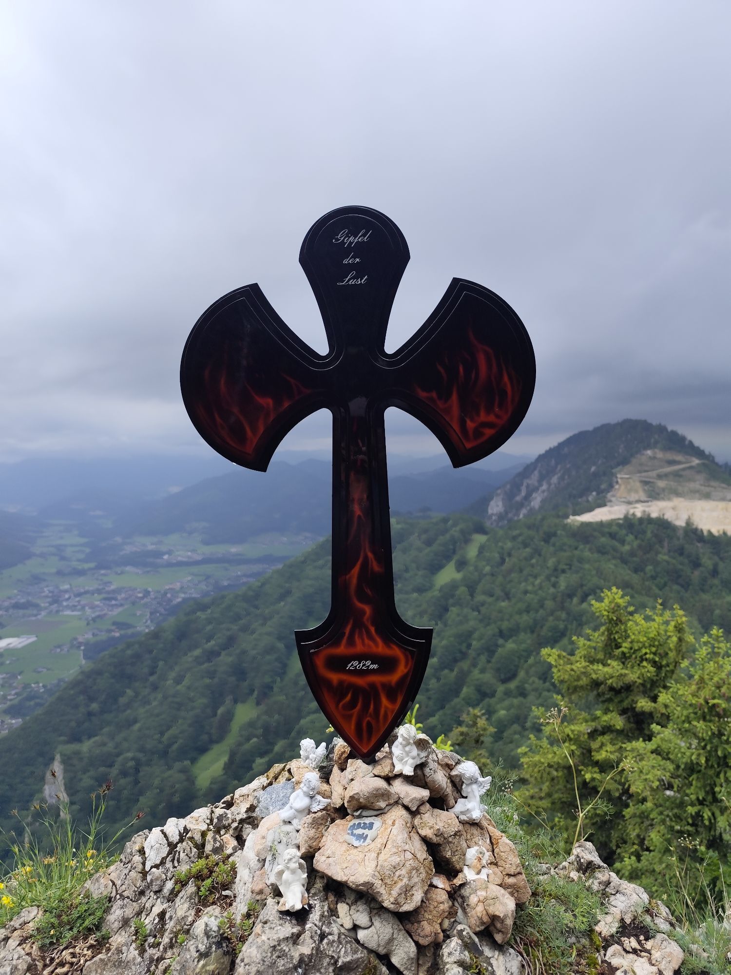
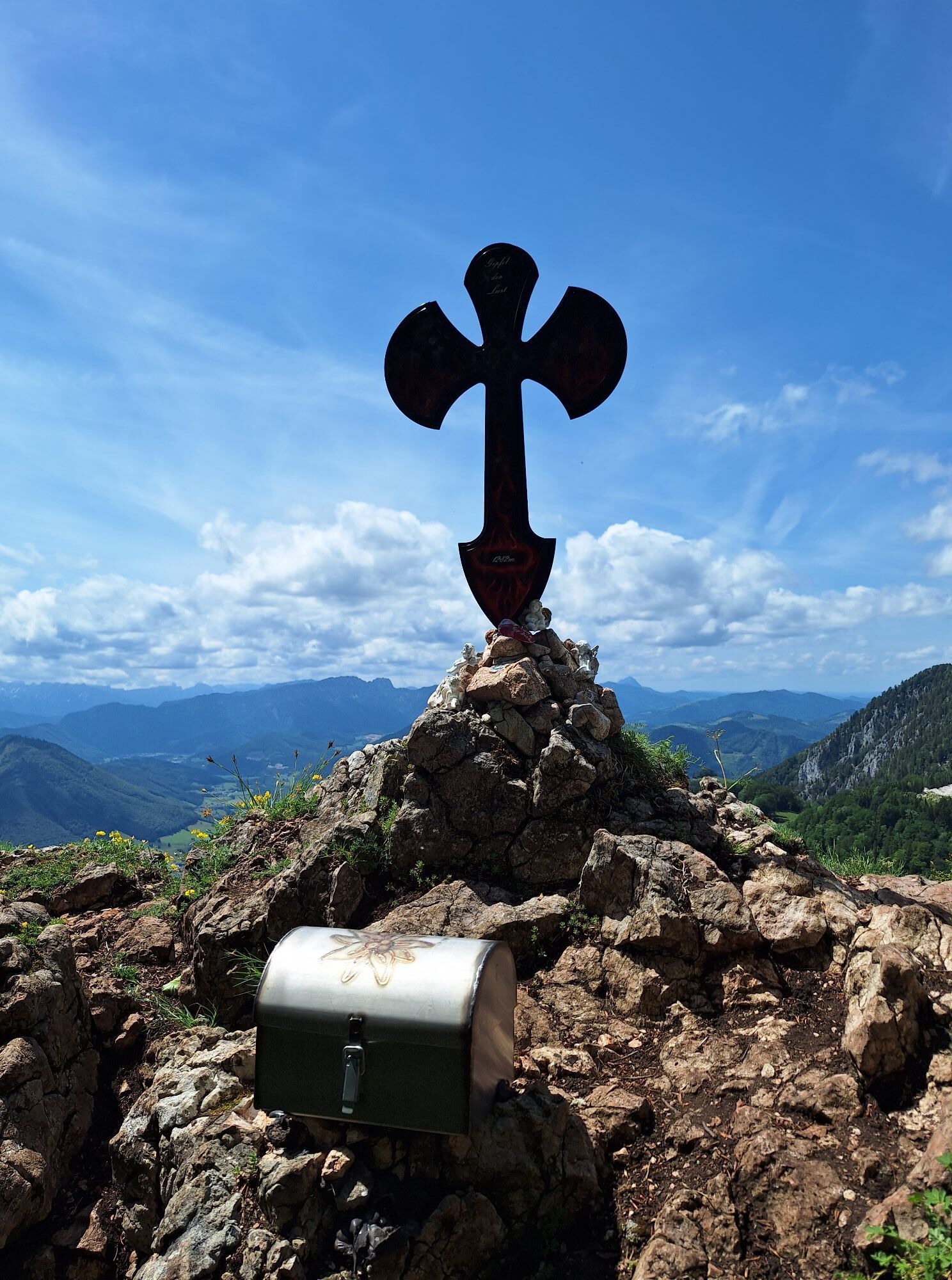
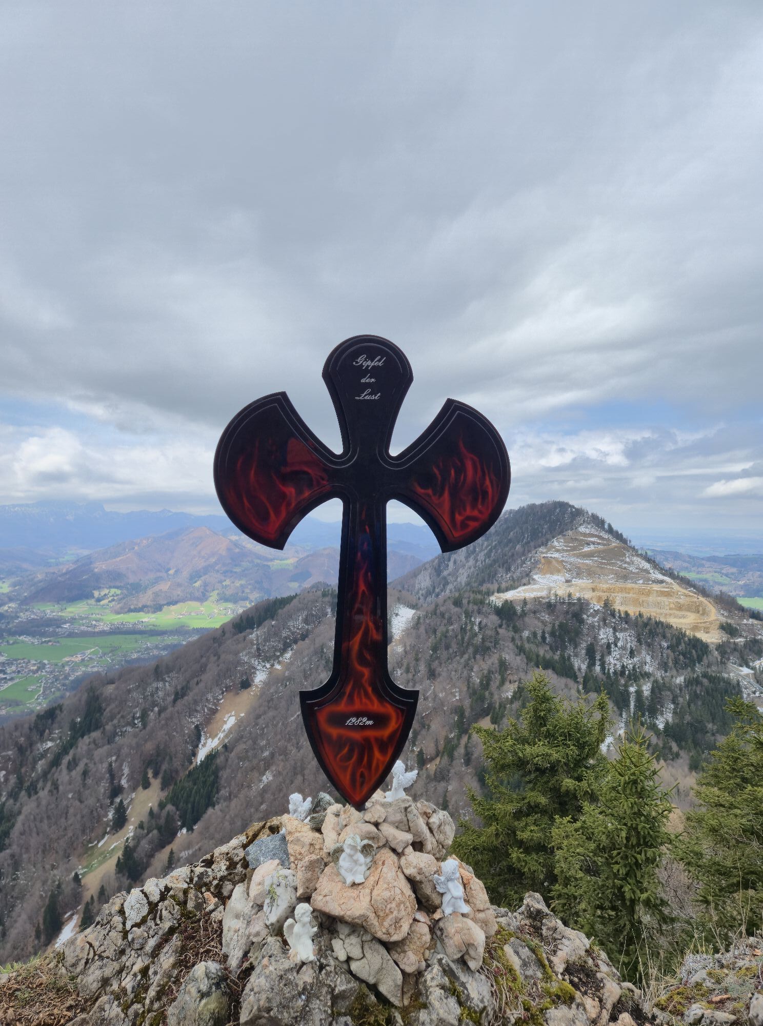
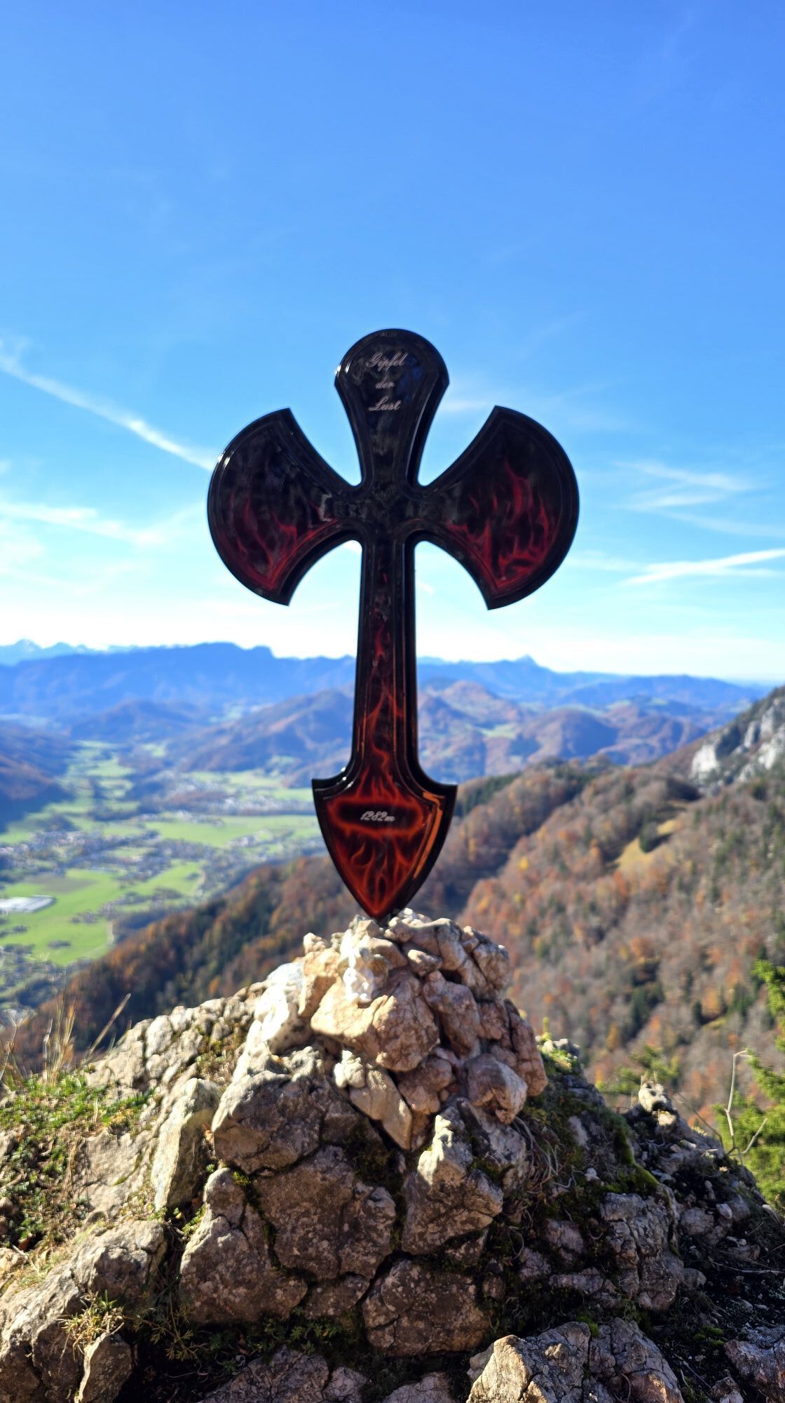
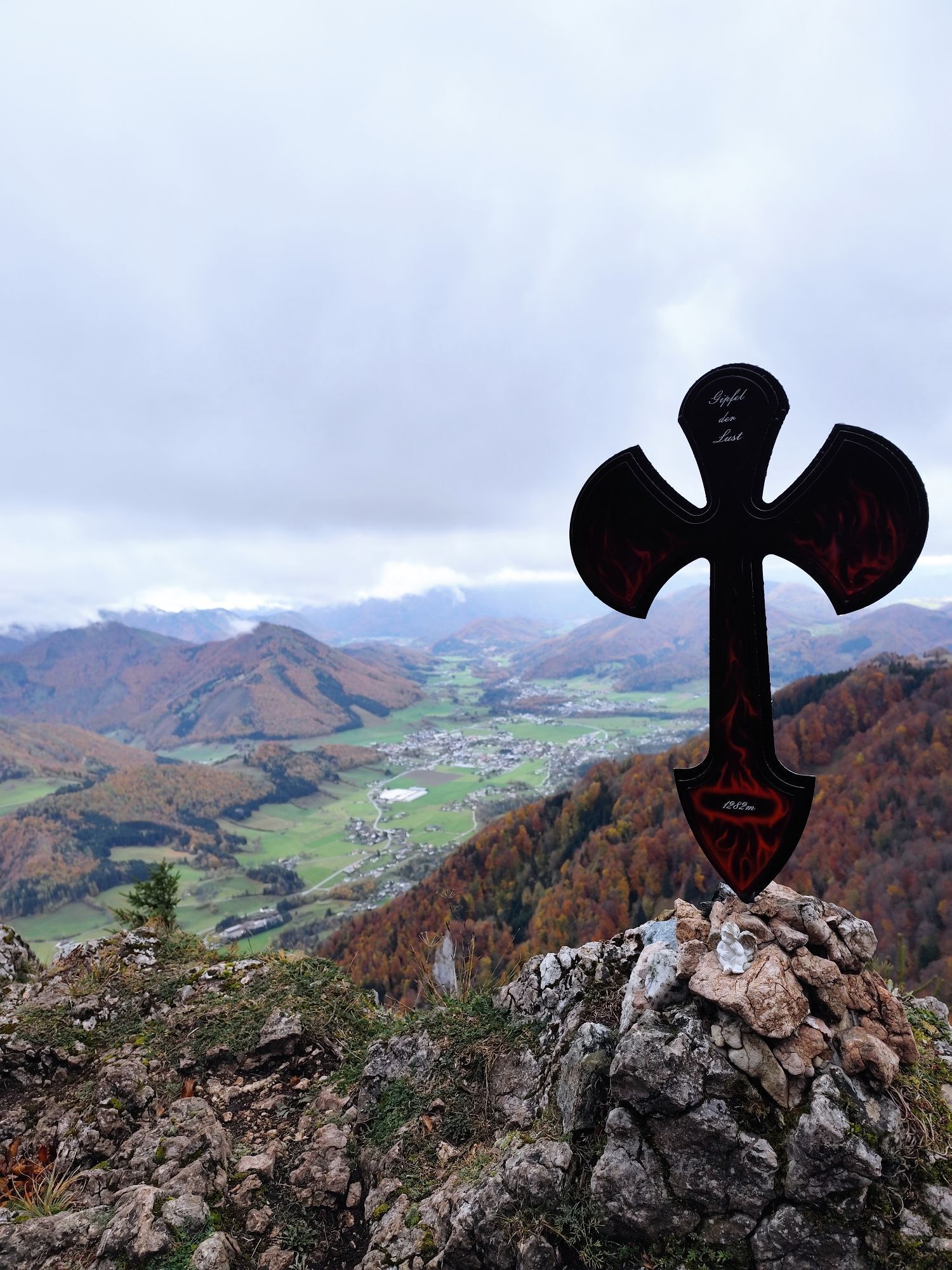
Pfaffenmauer - Schoberstein - Gipfel der Lust Gasthof Klausriegler, Oberösterreich/Österreich
średniWędrówka 9,72 km - 4,2
Rinnerberger Waterfall - Gorge
średniWędrówka 7,55 km - 4,5
Ternberg -Schoberstein
średniWędrówka 6,60 km - 4,7
Steinerner Jäger (1185m) und Schieferstein (1206m) ab Parkplatz Hack
ciężkiWędrówka 8,58 km
Wędrówki i tropienie


Nie przegap ofert i inspiracji na następne wakacje
Twój adres e-mail została dodana do listy mailingowej.