







Polsterer Kogel
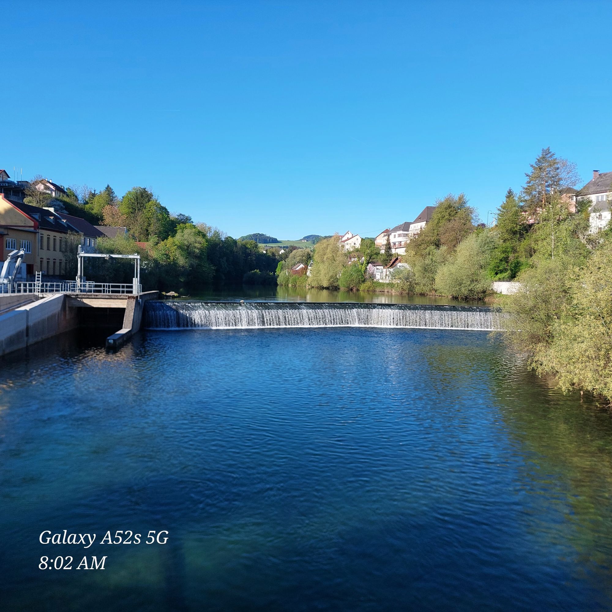
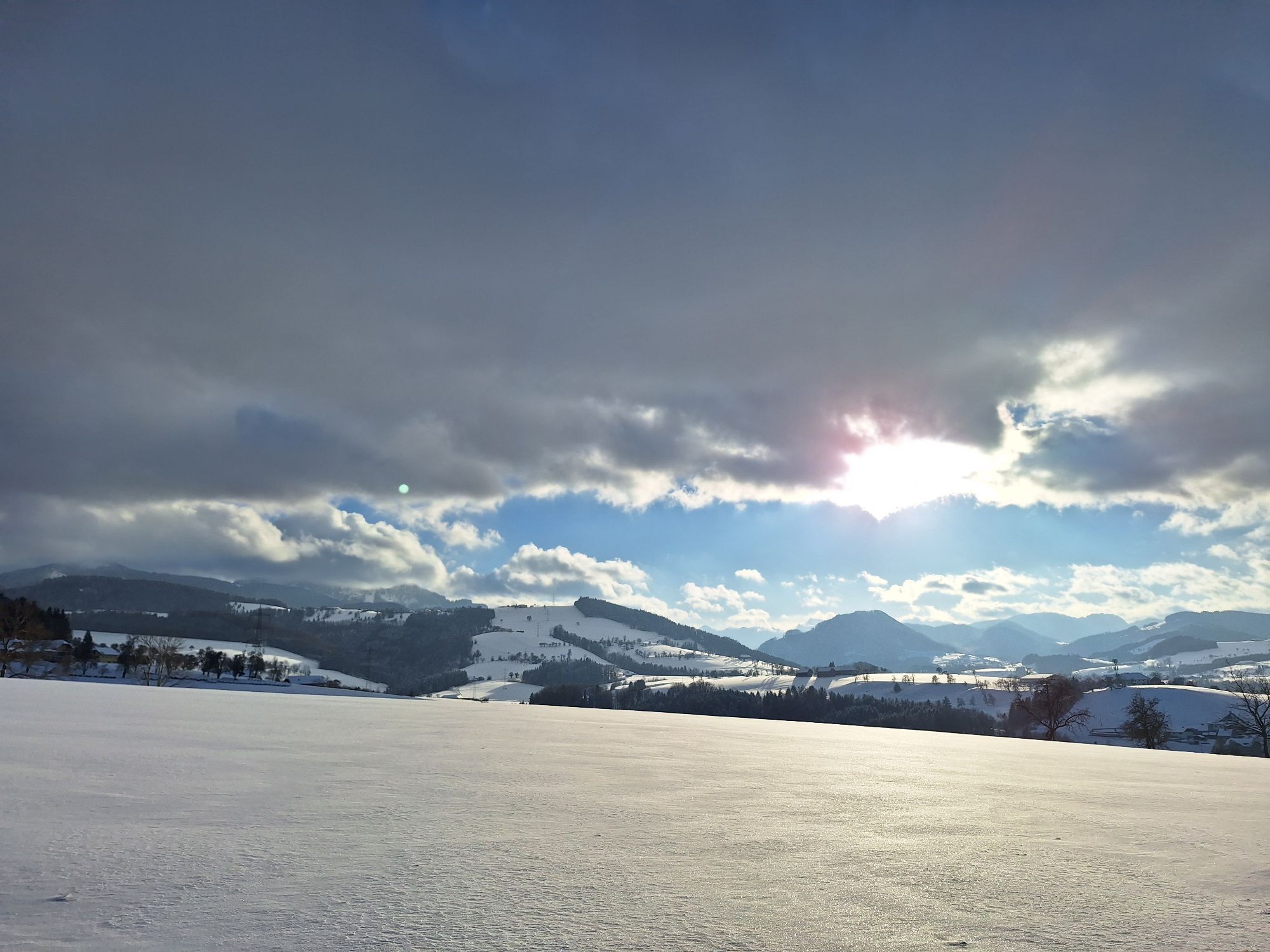
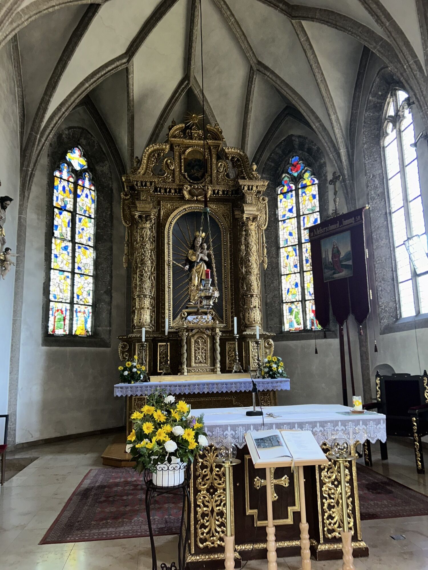
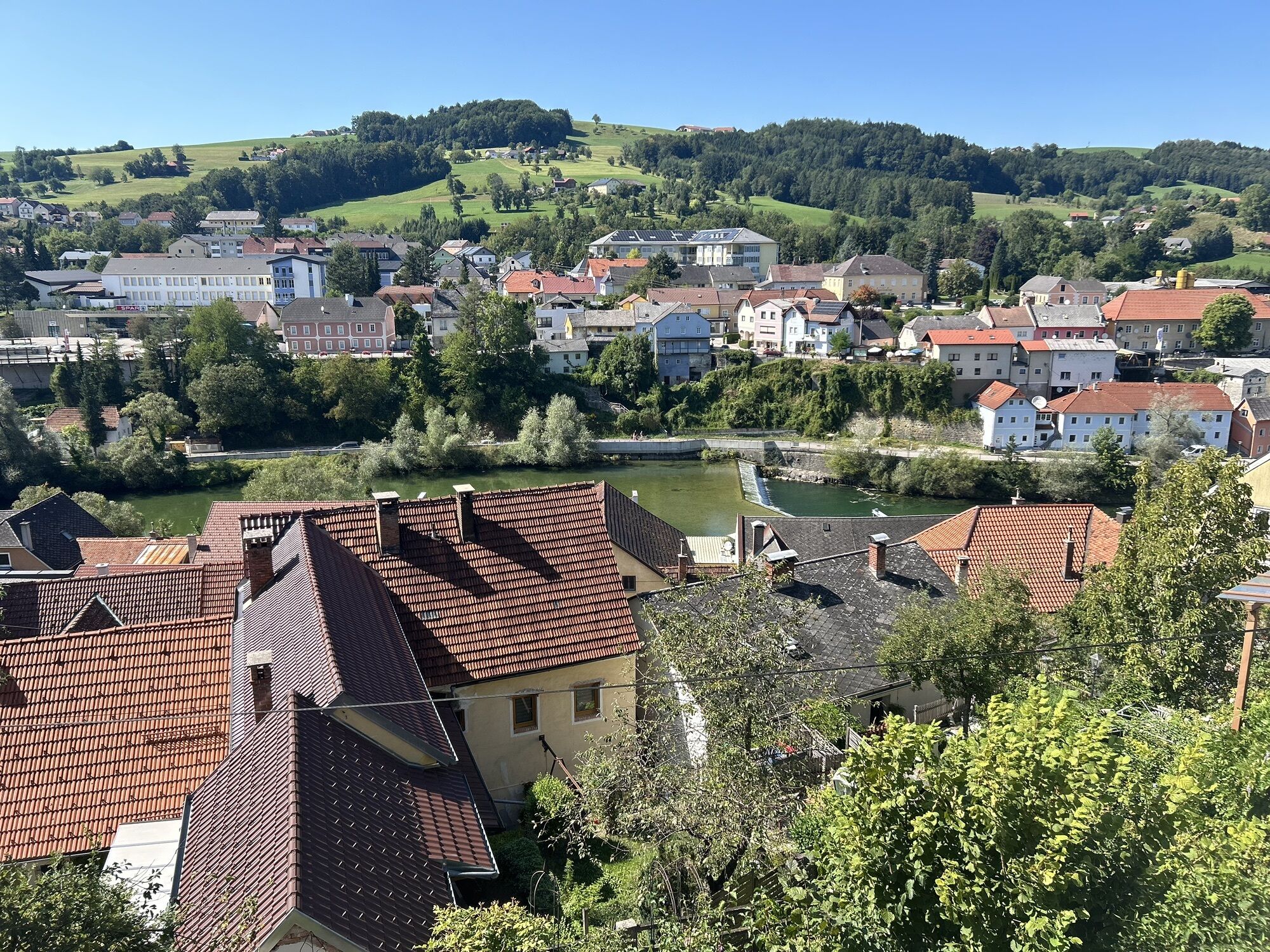

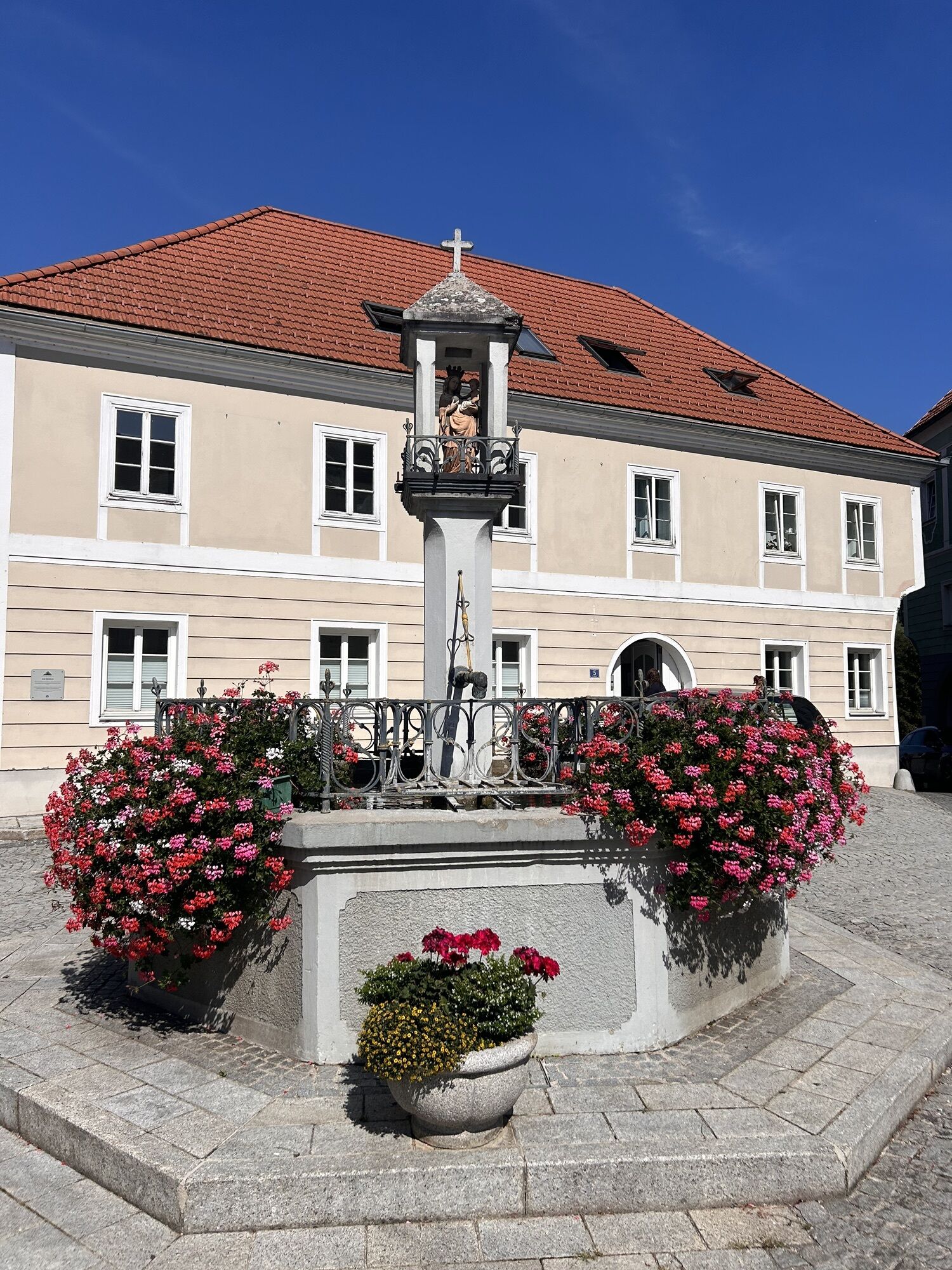
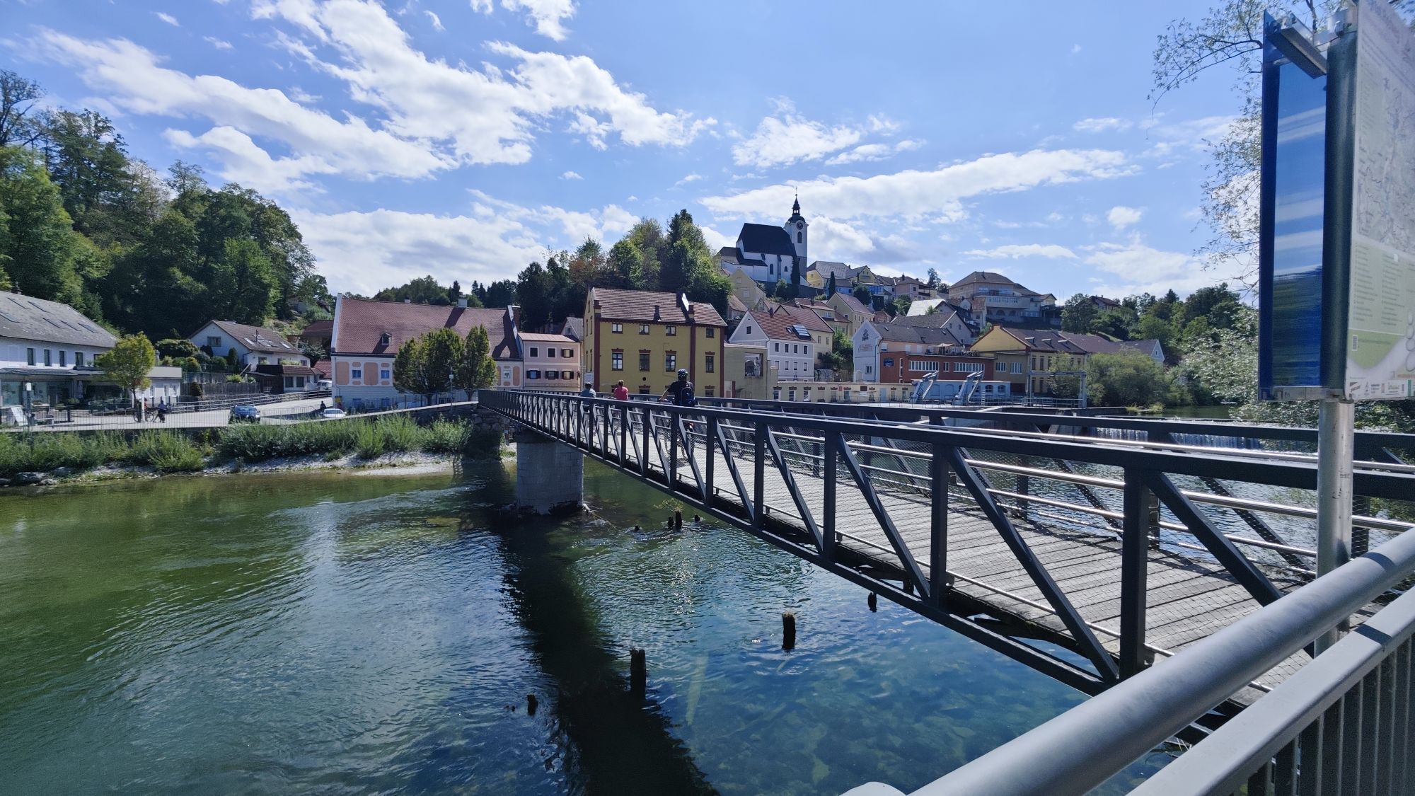
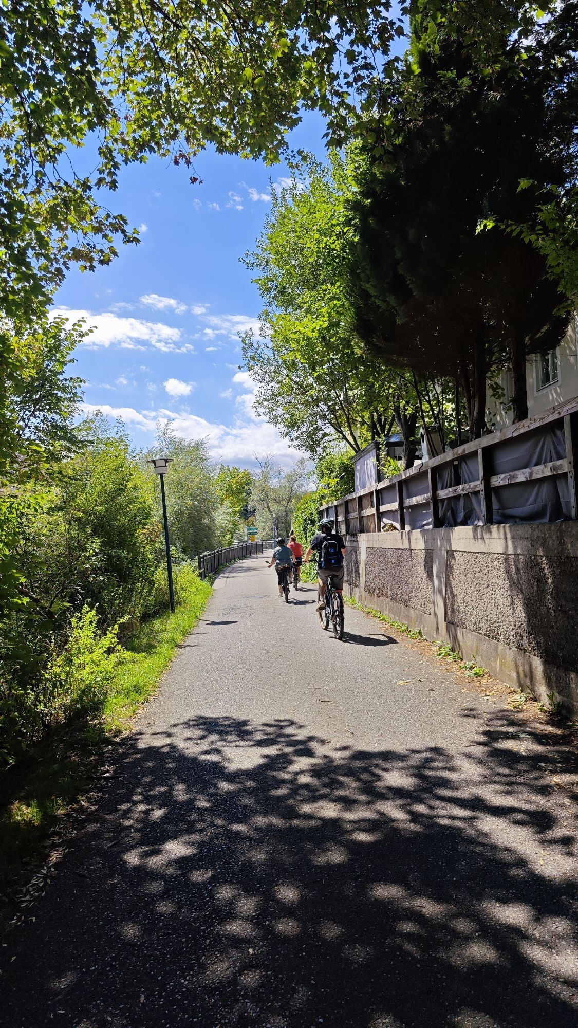
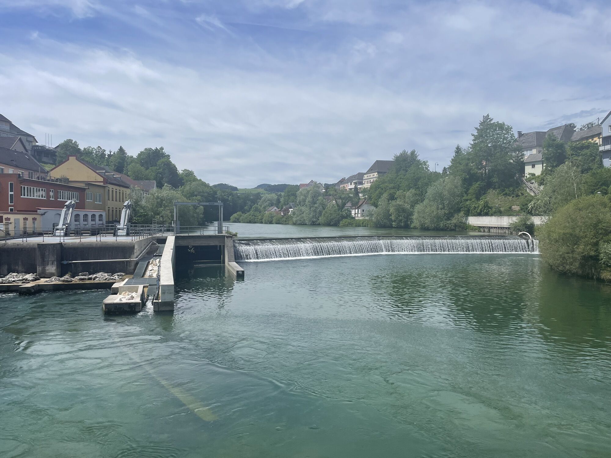
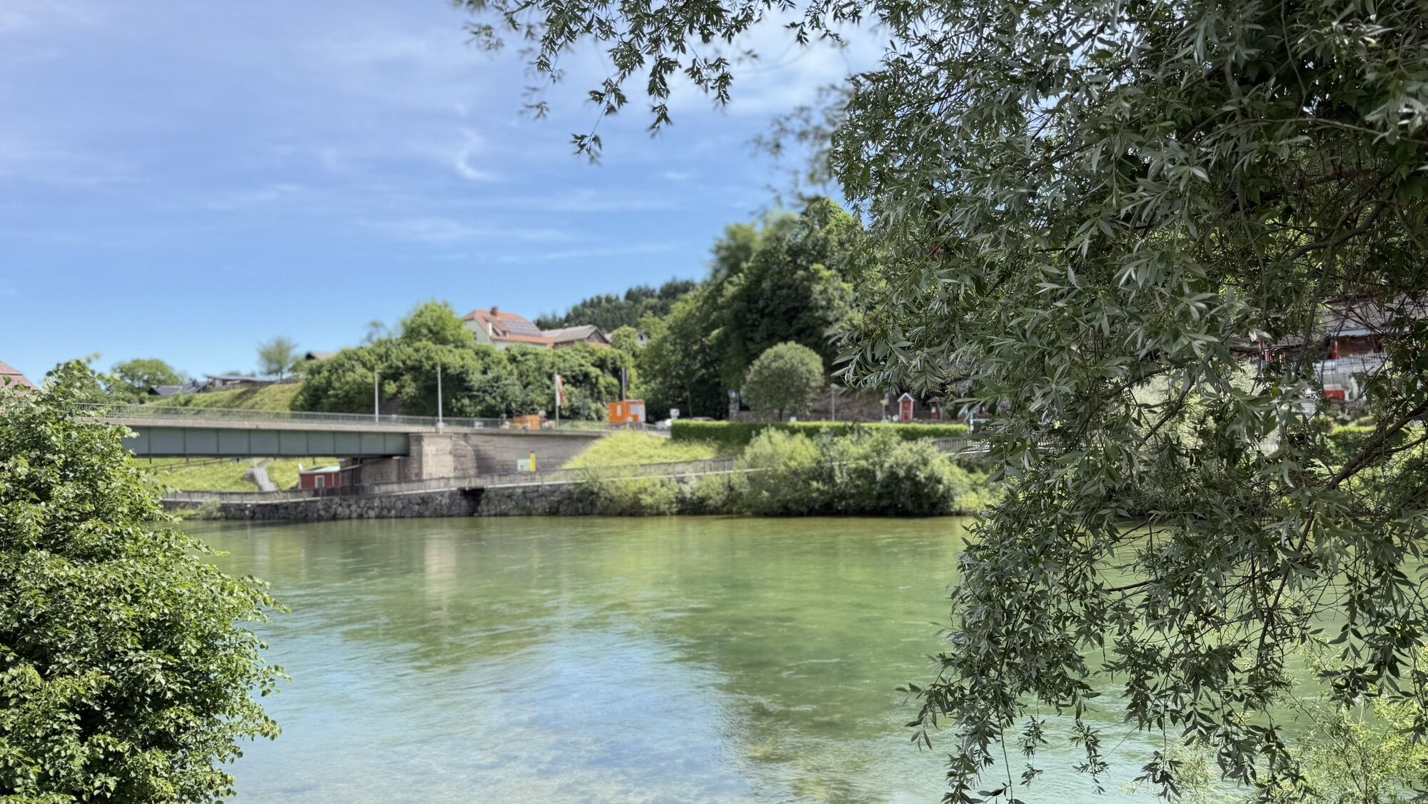
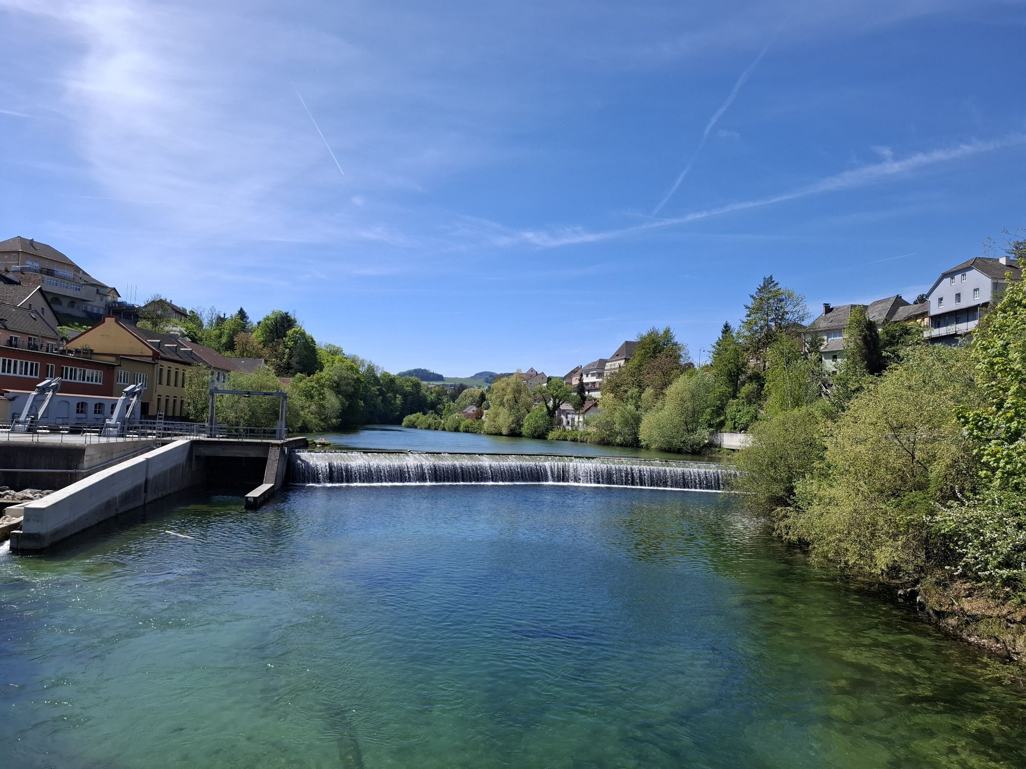
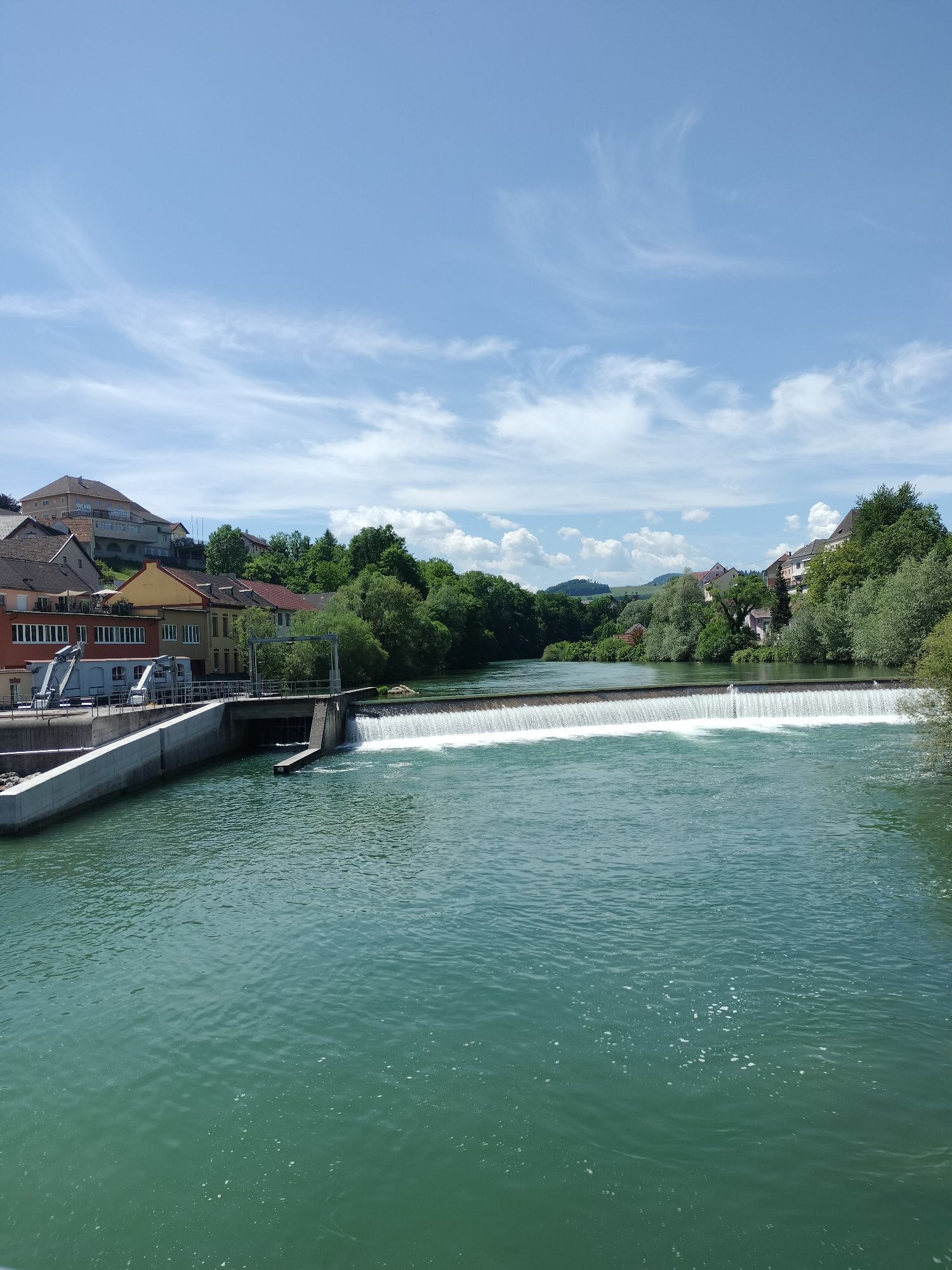
From the Grünburg Museum Station (parking lot) cross the Steyr Bridge and go up the hill via Pieslwang. Return goes 100 m on the same path, then turn left to a chapel and continue through the forest to...
From the Grünburg Museum Station (parking lot) cross the Steyr Bridge and go up the hill via Pieslwang. Return goes 100 m on the same path, then turn left to a chapel and continue through the forest to Ternberger Street and along the Laura Creek back to the village and the starting point.
Trail: 9, 9a



From the Grünburg Museum Station (parking lot), walk over the Steyr Bridge and turn left towards Pieslwang. At the junction to Pension Bichler, hike up the hill, through an orchard continuing to Gsöllhof.
Now go uphill to the right along the road (approx. 2.5 km). Following the markings through the next orchard, go up the hill; at the farmhouse keep right along the road to the viewpoint “Polsterer Kogel - Polsterer Kreuz” – magnificent panoramic view!
Return goes 100 m on the same path, then turn left (marking) to a chapel and continue through the forest to Ternberger Street. Follow this about 100 m to the right, then turn left and along Laura Creek back to the village and over the bridge to the starting point.
Tak
From the east: A1 exit Haag > Steyr > B140 into the Steyr valley
From the north: A3 Passau > Wels > A9 exit Sattledt > Kremsmünster > Bad Hall > Steinbach
From the south: A9 exit Klaus > into the Steyr valley
Details at www.ooevv.at
With the Steyrtal Museum Railway www.steyrtalbahn.at
Steyrtal Museum Station
No dining options along the way, so bring drinks and, if needed, a snack.

Popularne wycieczki w okolicy
-
4,7
Grünburger Hut via Dorngraben Molln
średniWędrówka 3,43 km -
4,6
Schoberstein (from Molln)
średniWędrówka 3,63 km -
4,6
Dürres Eck - Gaisberg - Hochbuchberg
średniWędrówka 11,2 km -
4,5
Rinnende Mauer - Gorge Trail
średniWędrówka 7,20 km -
4,7
Kleiner und Großer Landsberg (3.7.2019) mit Sonnenuntergang
średniWędrówka 3,51 km -
4,6
Pfaffenmauer - Schoberstein - Gipfel der Lust Gasthof Klausriegler, Oberösterreich/Österreich
średniWędrówka 9,72 km -
4,2
Rinnerberger Waterfall - Gorge
średniWędrówka 7,55 km -
4,5
Ternberg -Schoberstein
średniWędrówka 6,60 km -
4,8
Enns Active Trail Ternberg
średniWędrówka 9,61 km -
4,3
Gaisberg und Dürres Eck über Mollner Hütte
średniWędrówka 9,98 km
Wędrówki i tropienie


Nie przegap ofert i inspiracji na następne wakacje
Twój adres e-mail została dodana do listy mailingowej.





